
Aguja Inferior
Aguja Inferior
Carricitos, Mina
355 m
4.6 km
3 h
1335 msnm
Las Agujas is a super pictorial spot in the Mina desert, with the Big Needle on the left and the Little Needle on the right.
Warnings


Level
i
Packing List
How to get there
Trailhead Access
This route is located outside the metropolitan area, in the semi-desert of Mina. Unlike other destinations in Mina, the ideal way to get to the start of this route is to drive from Monterrey to Icamole. - Once we arrive in Icamole, we must head towards Paredón Coah (Highway NL 129). 12 km after Icamole we will arrive at a bus stop known as “El Milagro”. There, we will turn right along a dirt road. From here on, there will be no paved road, although any vehicle can reach carts (consider that it is dirt road). - We will cross the railway tracks and about 4.5 km later we will arrive at an intersection (Ejido Delgado) where we will turn right, towards the Carricito ejido. The ejido is approximately 5 km from this intersection. - Finally, to get to the start of the route, we will have to cover approximately 4 more km of dirt road, where an all-terrain vehicle is required. - Both needles can already be seen from strollers. After the stroller park, we will pass between a couple of houses and cross a stream (towards the needles); we will turn slightly to the right and continue along the main dirt road. - Eventually we will reach a crossing of the same stream, but this second crossing is more rugged (this is where a 4x4 or a tall vehicle and dexterity are required to drive). - After the crossing, we will turn left at an intersection and eventually we will arrive at the Tejabán de los Rucos Extremos.
Parking Information
Depending on the size of the group and the number/type of vehicles, you can leave a vehicle in the Carricito park and take the 4x4 to the beginning of the sidewalk, where there is plenty of space to park.
Fees & Park HoursN/A
Trail Overview
Perdedizo, due to the low vegetation on this hill, there are many road variants; especially between where the gap ends and the ejolote. The signs are empty, we may find some monkeys along the way. However, the route is very intuitive (get around the thorns, the agaves and climb!)
Recommended Gear
ADDITIONAL EQUIPMENT: - First aid kit - Electrolyte powder - Extra battery (power bank) - Lamp - Thermal blanket (can be used to shelter from the sun and/or to cover up in case you have to spend the night) - Sunscreen - A bag for our garbage.
Elevation Gain
355 m
Total Distance (Out & back)
4.6 km
Total Time
3 h
Max Elevation
1335 msnm
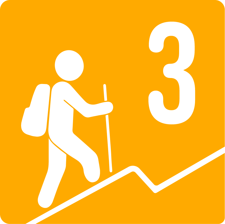
Level 3, this route offers us approximately 400m of positive slope, spread over 1.8 km of distance (climb only). Level 3 of physical difficulty covers a range of 400m and 600m of positive slope.