
Avionazo
Avionazo
ANP Sierra el Fraile y San Miguel, El Carmen
1500 m
14 km
9 h
2070 msnm
Cerro del Avionazo, mountain where 79 people died after a plane crash in 1969.
Warnings


Level
i
Packing List
How to get there
Trailhead Access
To get to the beginning of the route, you will have to drive towards the road to Monclova to reach the town of “El Carmen”, a town with the same name, located 1 hour from the city of Monterrey. It is a safe area with a lot of traffic for locals, and you can see people on the street practically all hours of the day, right here there are grocery stores where you can replenish food and/or liquids.
Parking Information
In the town of “El Carmen” there is a very large park that seems to be the main square, on the sides of this square there is enough space for parking. *Do not obstruct garages or private property.
Fees & Park HoursN/A
Trail Overview
The route is not as marked after taking the long route to approach the base of the mountain, there are slats and gravels that provide some help along the way, but in general terms it is a rather wasted route, so it is advisable to carry the GPS with enough battery.
Recommended GearN/A
Elevation Gain
1500 m
Total Distance (Out & back)
14 km
Total Time
9 h
Max Elevation
2070 msnm
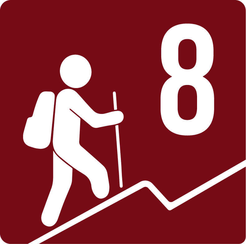
According to our nomenclature, this route has a level of physical difficulty of grade “8”, which means that it is a route with an average slope of 1500 meters, making it a strenuous route, not suitable for beginners, which usually takes 9-10 hours round trip.