Cabeza de León
5151 ft
10.3 mi
11 hrs
5938 ft
Cabeza de León
Bustamante, Bustamante
5151 ft
10.3 mi
11 hrs
5938 ft
Come and visit the Cabeza de León hill located just a couple of hours from the city center in the wonderful town of Bustamante.
Warnings
DIFFICULTY
What to bring?
Due to the high sun exposure and the density of the vegetation, it is advisable to wear clothes against the sun and that protect us from thorns.
How to get there?
Location:
The hill known as “Cabeza de León” is located in the magical town of Bustamante, a municipality located in the north of the state, adjacent to Villaldama, and can be reached from the city of Monterrey on the free road to Nuevo Laredo, on a journey of approximately 100 kilometers that takes 2 hours. This is a fairly safe and busy road. Once you reach the town, drive along the main road for about 15 minutes towards the mountains, where it intersects with a road that leads to the Bustamante Caves, you walk along that road until you come across a small ranch where the beginning of the village will be marked by a dirt road.
Parking:
There is enough space where the road begins to turn into a dirt road to park your vehicle, it is advisable to leave it here or closer to the town.
Costs and Schedule:
At the time of writing this review, taking this route does not involve transportation costs, only if you want to stay in the town there are cabins starting at $1,500 located on the outskirts of the town, as well as fairly inexpensive hotels ranging from $200 to $500.
Additional Equipment:
No additional equipment is required to complete this tour.
Route Trace:
The route is not completely marked, especially at the beginning of the sidewalk, due to the high density of the vegetation.
How is the trail?
Physical Level
Technical Level
Solar Exposure
Altitude: 1810 msnm
Elevation: 1570 m
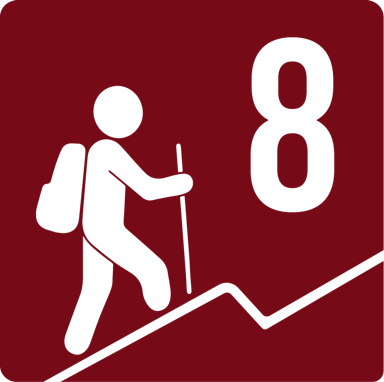
According to our nomenclature, this route is classified with a level 8 physical difficulty, which means that it has an average slope of between 1400-1600 meters, a total distance of 17 kilometers and a total travel time of approximately 11 hours. It is a strenuous route and not suitable for beginners.


