
Cascada de la Cebolla
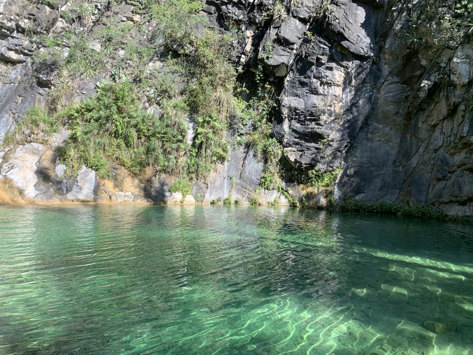
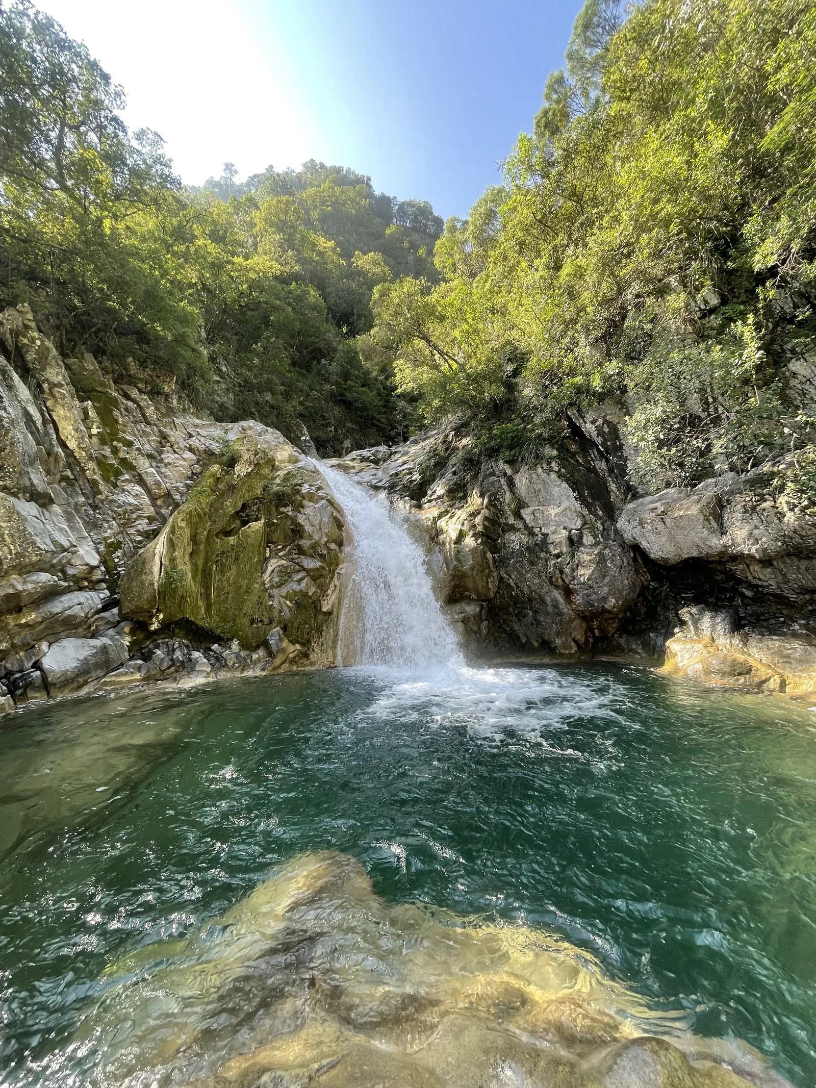
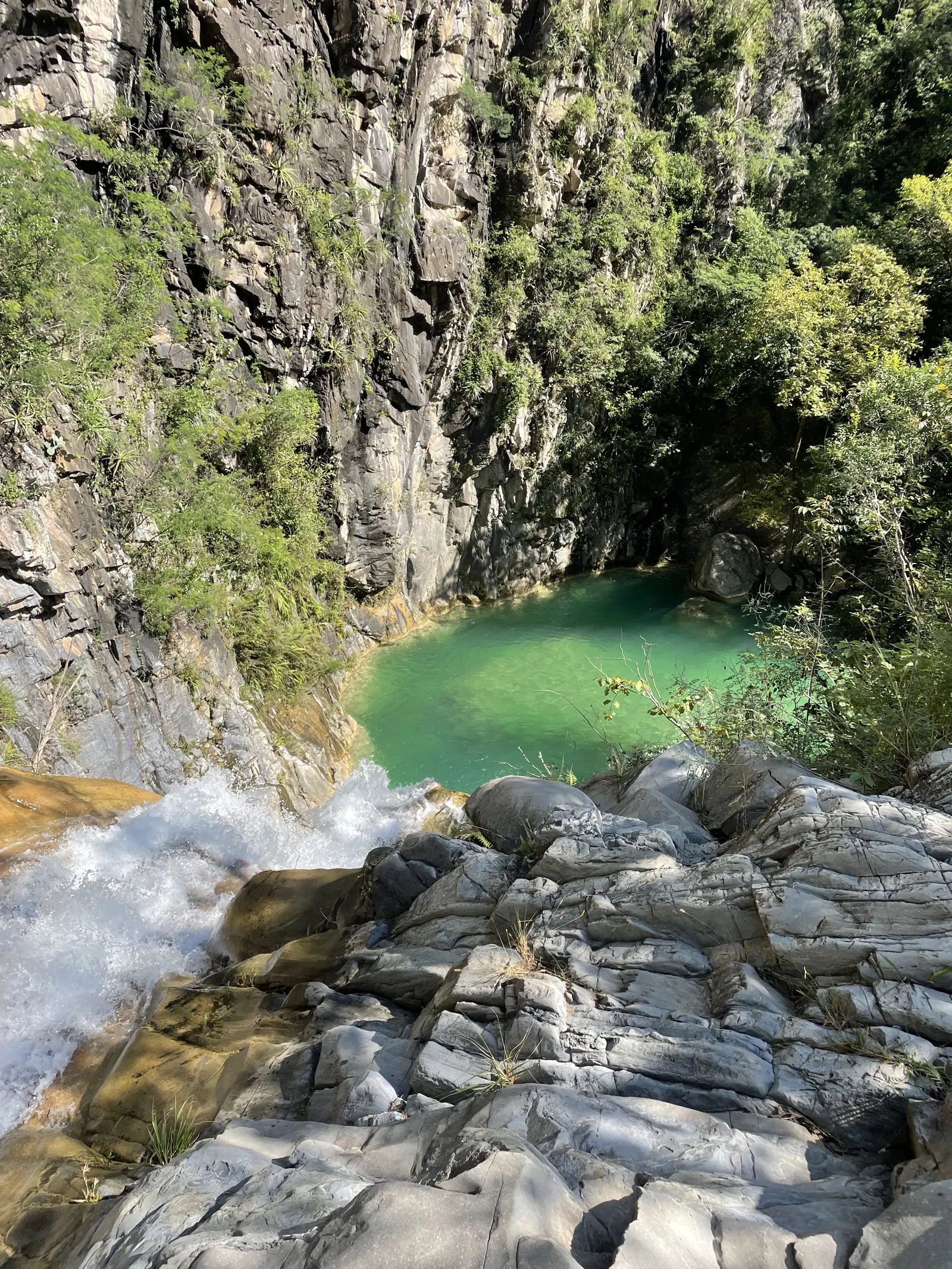
Cascada de la Cebolla
Parque Nacional Cumbres de Monterrey, Allende
1030 m
10.2 km
5 h
1060 msnm
The Cebolla Waterfall located in the town of Allende is ideal for cooling off in hot weather.
Warnings


Level
i
Packing List
How to get there
Trailhead Access
Starting from Monterrey, we will take the National Highway from Av. Eugenio Garza Sada or Av. Revolucion, and once on that road we will continue straight to Allende, where we will turn right at Lic. Ramiro Tamez M. and continue straight on that road for approximately 8.8 km until we reach the point where we can park.
Parking Information
To get to this point we can search Google Maps for: Parking A “Cascada la Cebolla”. It's a small space, if you want to find a place there, arrive early, or you can park in spaces before that place (in Paso Canavati) and add approximately 400 meters to the walk.
Fees & Park Hours
Sometimes we can find someone from the Ejido (or owner of the land) charging $50 pesos. Always consider carrying cash if necessary.
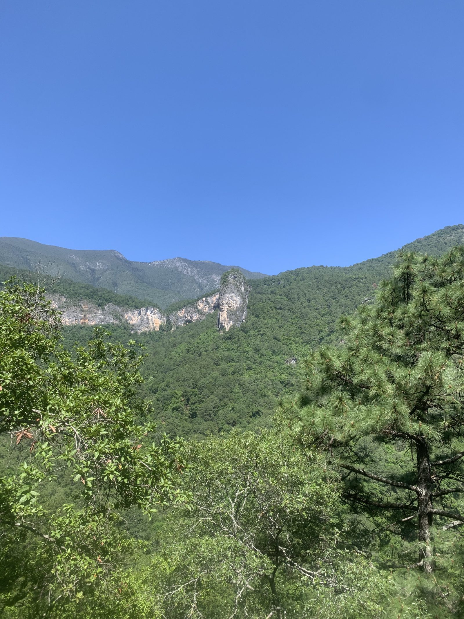
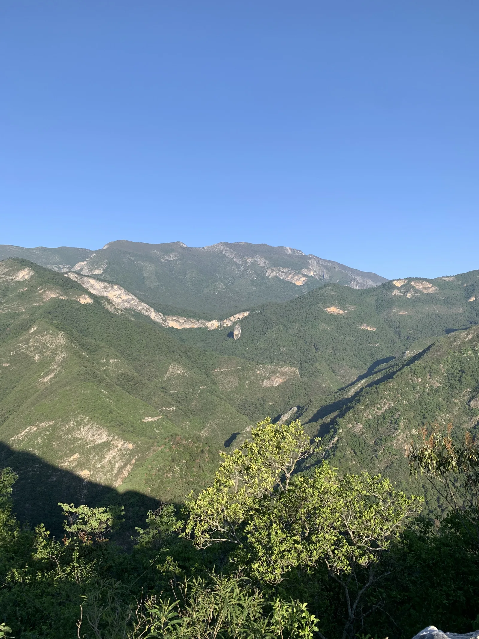
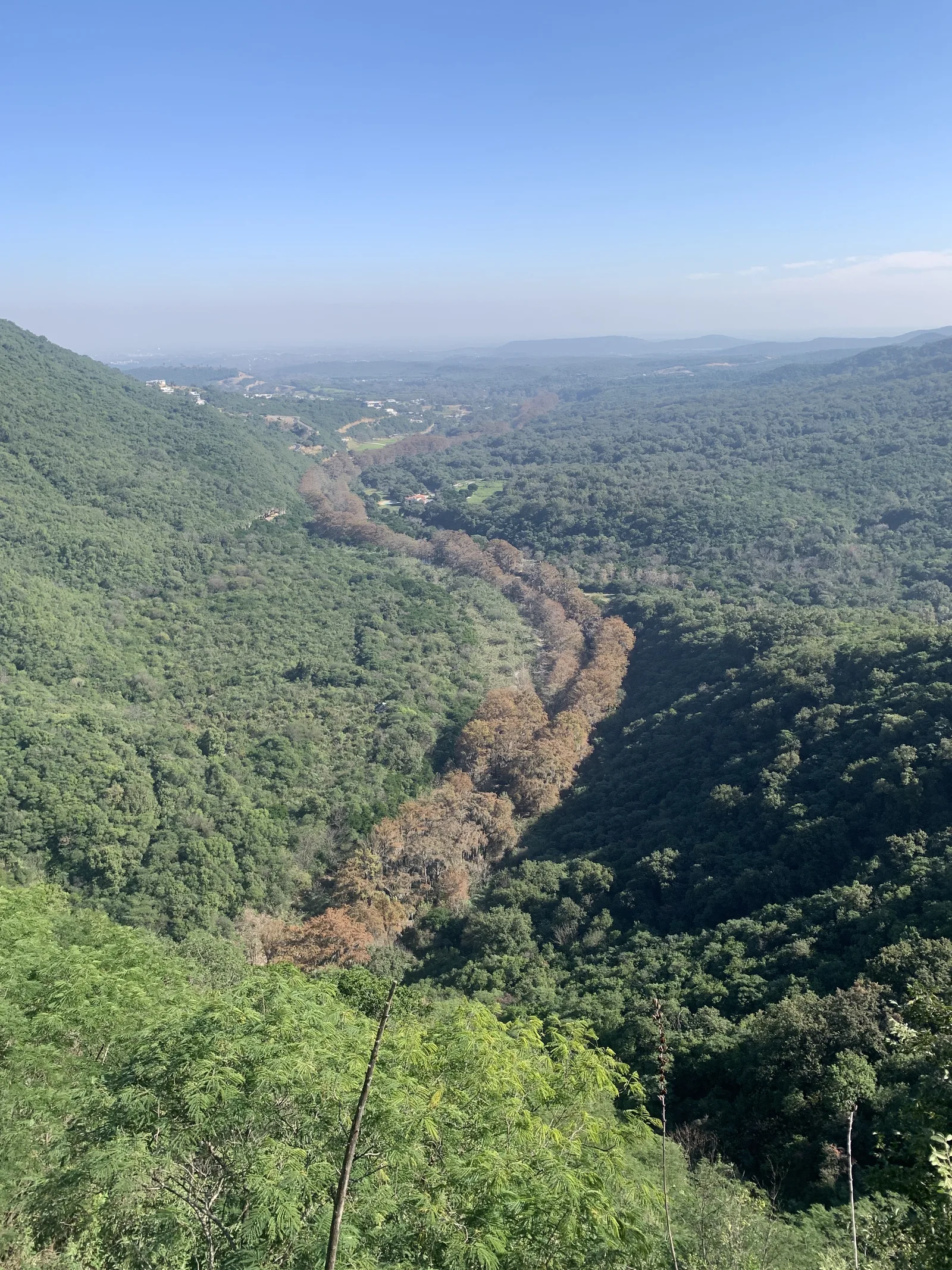
Trail Overview
The route is clearly visible and easy to follow since it is dirt and the road is always wide enough for a vehicle to travel.
Recommended GearN/A

Elevation Gain
1030 m
Total Distance (Out & back)
10.2 km
Total Time
5 h
Max Elevation
1060 msnm
This route has a physical difficulty of level 6 or 8 depending on our difficulty classification metric, depending on how you do it. This implies that the ascent has between 1,000 and 1,200 meters of unevenness (considering that you only climb on foot on the ascent to the waterfall); if you are going to venture the entire route on foot, add another +400 m. This would increase the level of difficulty to this route to level 8. Consider that there are 5 km of ascent and 5 km of descent one way only, so the return will be the same and the route is 20 km in total.