
Cascada del Barro
Cascada del Barro
Campestre el Barro, Monterrey
350 m
4.8 km
1 h 30 m
1020 msnm
Waterfall located in the south of Monterrey ideal for all hikers.
📢 Alerts & Updates
This route is closed by the owners. Notification will be given when this route is reopened. For now, we invite you to visit the route closest to this place: Parque La Estanzuela
Warnings


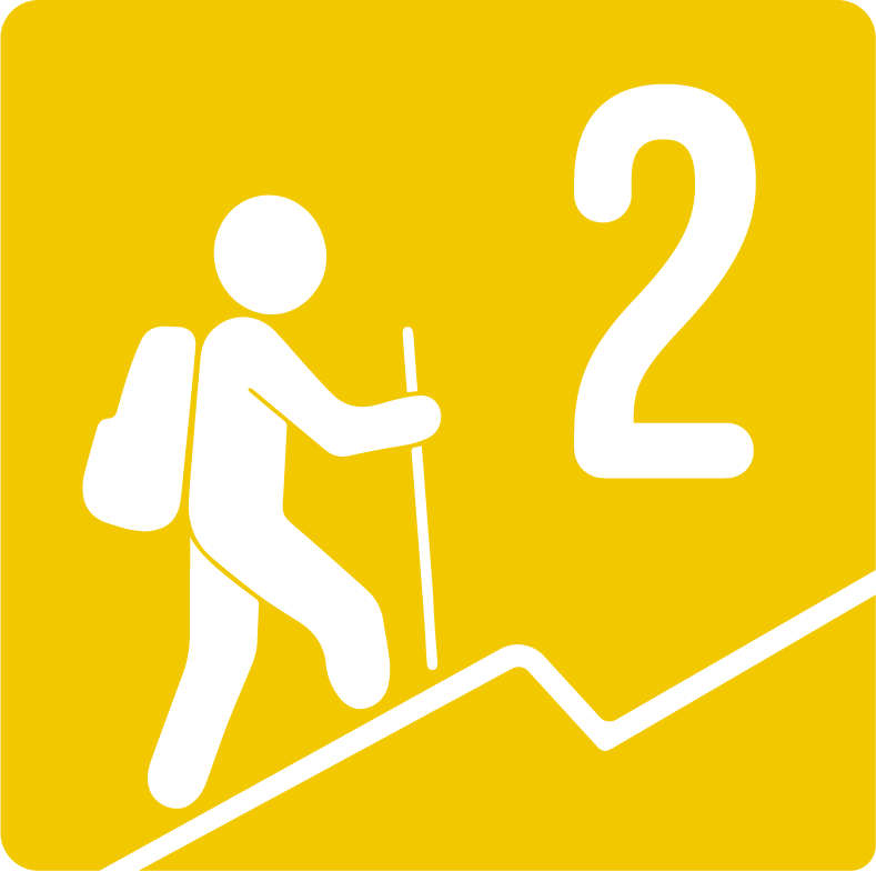
Level
i
Packing List
How to get there
Trailhead Access
From the city of Monterrey to get to the beginning of the village, you have to take the national road to the La Boca dam and be careful to leave before reaching the neighborhood community. Once you leave the road, continue straight until you reach a booth where you will have to park. From the parking lot where the sidewalk begins, there are two kilometers of road, you have to follow the location on Google Maps. Once at the entrance to the sidewalk, use Wikiloc.
Parking Information
Outside the booth at the Baroque Colony there are 4 parking spaces, you can also park one on the side of the street so as not to obstruct other vehicles. You cannot park inside the booth and therefore you also have to walk along a wide dirt road until you reach the entrance of the walk. There is no cost to do this tour, but it is advisable to leave a tip for the guards at the booth.
Fees & Park HoursN/A
Trail Overview
It doesn't have much to lose, it's well marked. At the beginning there are two paths but there is a sign that points you to the right path. Try to go back where you are.
Recommended GearN/A
Elevation Gain
350 m
Total Distance (Out & back)
4.8 km
Total Time
1 h 30 m
Max Elevation
1020 msnm
The physical difficulty of this route is level 1, with only 350 meters of unevenness divided over 4.5 kilometers. There are no very difficult slopes since most of the way you have to follow a dirt road.