
Cerro El Chupón
Cerro El Chupón
Zona Metropolitana, Monterrey
599 m
6.6 km
2 h 30 m
995 msnm
Located to the south of the city, the “El Chupón” Hill is known to many because of its peculiar shape like a pacifier.
Warnings


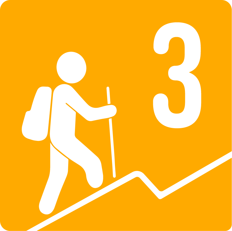
Level
i
Packing List
How to get there
Trailhead Access
This route starts right in the main park of the Villa Sol neighborhood, a place that you can drive through Lázaro Cárdenas from north to south, take the side just before passing through the Autonomous University of Nuevo León and turn right towards the hill along Paseo de la Reforma street, you walk for about 300 meters and before passing an Oxxo you turn right until you come across the start of the route and on the left you will find the aforementioned Villa Sol park, a place where you can park.
Parking Information
The start of this route begins in a park/plaza in the Villa Sol neighborhood, where you can park your vehicle, however, it is important to keep in mind that this area is residential, this implies a high traffic flow from neighbors on a regular basis, so it is important that when visiting this route no access is blocked. It is preferable that you park your vehicle on the sidewalk of the park, rather than outside a house.
Fees & Park HoursN/A
Trail Overview
The route is well marked, however, it is recommended not to lose sight of the GPS due to the high number of bifurcations and alternate paths present on this route that could divert you from the path.
Recommended Gear
If you plan to take this tour after 4 in the afternoon, it is recommended to bring a flashlight or headlamp with enough battery, avoid using the cell phone flashlight and leave it alone for emergencies.
Elevation Gain
599 m
Total Distance (Out & back)
6.6 km
Total Time
2 h 30 m
Max Elevation
995 msnm
According to our nomenclature, this route is classified with a level of physical difficulty of grade 3, which means that it is a route with at least 400 meters of unevenness, with a considerable previous approach or approach to the mountain, the average time of completing this route is 3 hours, although the pace of the group greatly influences this fact.