Cerro El Ovni
1847 ft
8.7 mi
9 hrs
3957 ft
Cerro El Ovni
Región Arqueológica de Nuevo León, García
1847 ft
8.7 mi
9 hrs
3957 ft
This stage in turn has spectacular views of several very striking peaks such as El Sapo, La Palmitosa, La Tía Chena or Las Agujas.
Warnings
DIFFICULTY
What to bring?
This route presents multiple challenges such as being exposed to the sun all the time, walking among tall and aggressive vegetation (with many thorns) and between sections with the sidewalk not visible, so the recommendation is to wear the following clothing: - Hat or cap. - Sunglasses and buffs. - Long sleeve t-shirt that is breathable. - Long, abrasion-resistant pants. - Hiking boots resistant to abrasion and with good grip. - Long and sturdy socks. - Gloves for maneuvering thorns or cacti (optional).
How to get there?
Location:
Located 1 and a half hours from the city of Monterrey, Icamole is a desert town that can be reached by driving to downtown Garcia along Abraham Lincoln Avenue and then connecting with the old road to Icamole. It is a desolate but safe road, you just have to be careful while driving due to the high presence of potholes and wells in the road.
Parking:
You can park your vehicle in the town's main beverage depot, right in front of the “Mini Super Damaris”, a large, secure space with no parking cost.
Costs and Schedule:
At the time of writing this review, this tour requires no cost.
Additional Equipment:
No additional equipment is required to complete this route.
Route Trace:
Although 70% of the route runs through a ravine, it is a route with losing segments, especially over the Salinas River, with intersections that intertwine many roads, so you have to keep an eye on the GPS at all times. Another aspect to highlight is the aggressiveness of the terrain, the route is immersed in an immense field of thorns, tall vegetation and more thorns. In this way, it is recommended to wear appropriate clothing that covers most of the body and that is resistant.
How is the trail?
Physical Level
Technical Level
Solar Exposure
Altitude: 1206 msnm
Elevation: 563 m
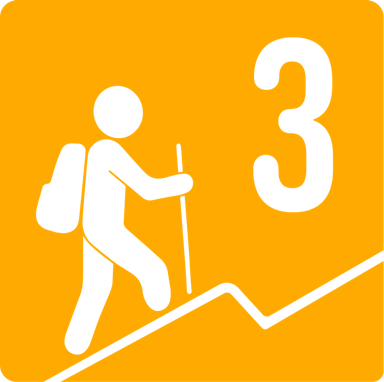
According to our nomenclature, this route is classified with a level of physical difficulty level 3, since it has an approximate slope of 400-600 meters, that is, it is a route that is not so physically demanding and could be compared to Cerro del Chupón, (take into account technical difficulty).


