
El Coahuilón
El Coahuilón
Sierra de Arteaga, Arteaga
850 m
8 km
8 h
3500 msnm
El Coahuilón is a scenic route located in the Mesa de Las Tablas ejido. This summit is ideal for altitude training. Its altitude is more than 3500 meters above sea level!
Warnings


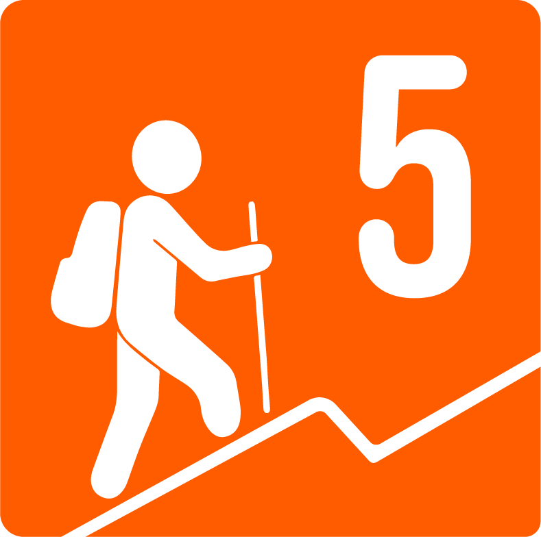
Level
i
Packing List
How to get there
Trailhead Access
Passing Monterreal and the Sierra de La Marta, you follow the road and before reaching Mesa de Las Tablas there is a last curve, a (friendly) dirt road begins on your right hand side that goes in the opposite direction, you enter this street and at the first turn on the left you follow it in the direction of the Sierra el Coahuilon. It is a one-way street, but there is space to leave the vehicle so as not to hinder the way.
Parking Information
You can leave it in the first Y before starting the ascent to the mountains.
Fees & Park Hours
As of the day this was written, the highway costs are $130 saltillo (if you go for the free one instead of the free one) and $44 coal.
Trail Overview
The sidewalk does have slats but they are somewhat hidden. It's easy to get lost and you have to be aware that the route is not well marked.
Recommended GearN/A
Elevation Gain
850 m
Total Distance (Out & back)
8 km
Total Time
8 h
Max Elevation
3500 msnm
This route has a difficulty of 5 based on our difficulty classification metric. It has an ascent of between 800-1000 meters in altitude, however, it is usually more demanding compared to other level 4 hills because the summit is more than 2500 meters above sea level and you can start to feel symptoms because of the height. The climb has a consistent slope until it reaches the crest of the hill. Parts of this climb are completely exposed to the sun. The longest unshaded stretch is about an hour and a half.