El Pinal
2726 ft
8.2 mi
5 hrs
4833 ft
El Pinal
Parque Chipinque, San Pedro Garza García
2726 ft
8.2 mi
5 hrs
4833 ft
The Mirador del Pinal in the Chipinque Ecological Park is ideal for those looking for hiking without leaving the city. Nature and unique views!
Warnings
DIFFICULTY
What to bring?
The route can be done in any sports clothing (if it rains, wear sneakers with good soles).
How to get there?
Location:
Enter Chipinque Park on Gomez Morin Avenue, keeping in mind that you have to buy a pass to access the park online. Once we enter the park, we proceed to leave the car/van wherever you find a place (we recommend near the beginning of the Chile Breach, which is where this Wikiloc begins). It's important to respect speed limits because the road is used by both cyclists and pedestrians. The starting point marked by this Wikiloc is the beginning of the sidewalk.
Parking:
The entire Park has enough parking and is included in the access
Costs and Schedule:
$88 pesos per person, or less if you buy more than one ticket at a time. The ticket cannot be purchased at the booth, it must be purchased on the following website: https://www.chipinque.org.mx/tienda
Additional Equipment:
No additional equipment is needed to complete this route. One or two poles may be helpful for incline sections, but not vital.
Route Trace:
As usual, the routes of the Chipinque Ecological Park are perfectly traced. It is no exception for the route described. You can find signage signs from the beginning, middle and end of the route to arrive without problem (see references in the waypoints of this Wikiloc).
How is the trail?
Physical Level
Technical Level
Solar Exposure
Altitude: 1473 msnm
Elevation: 831 m
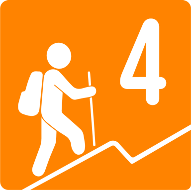
Level 4. This route is a bit long and has some sections with a significant degree of inclination, but we don't consider it a route for advanced people only. Let's consider that it is only 6.6 km one way, giving a total of 13.2 km; the positive slope is close to 600 m, which does not make it an easy route. Constant physical activity (at least 3 times a week) is required to complete this route without major problems.


