
El Sapo
El Sapo
ANP Sierra el Fraile y San Miguel, García
1600 m
13 km
11 h 10 m
2400 msnm
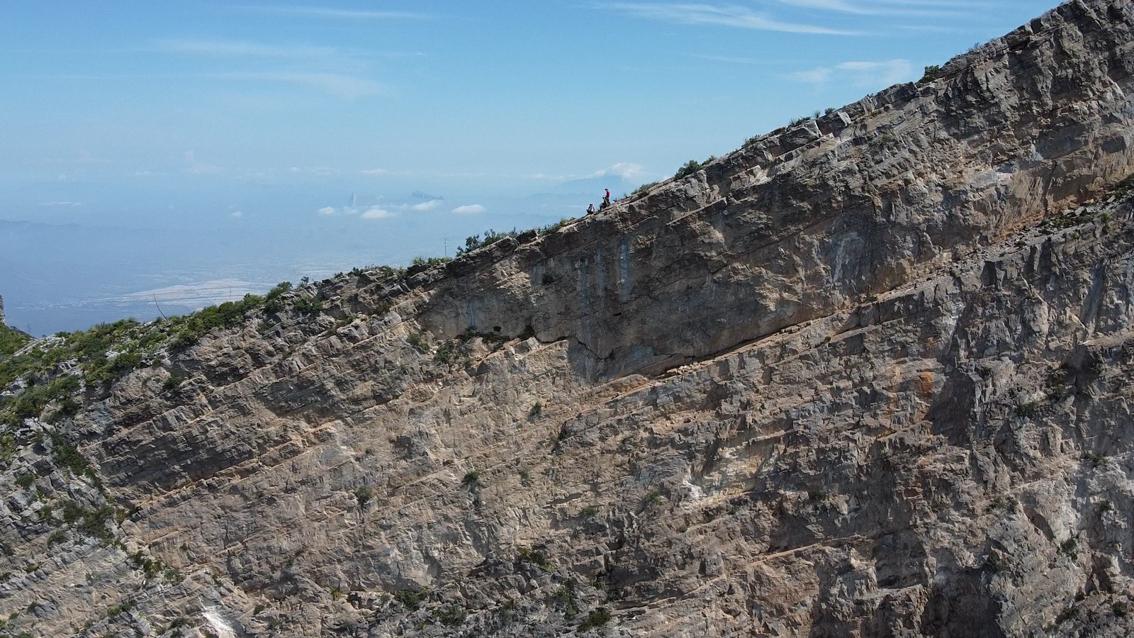
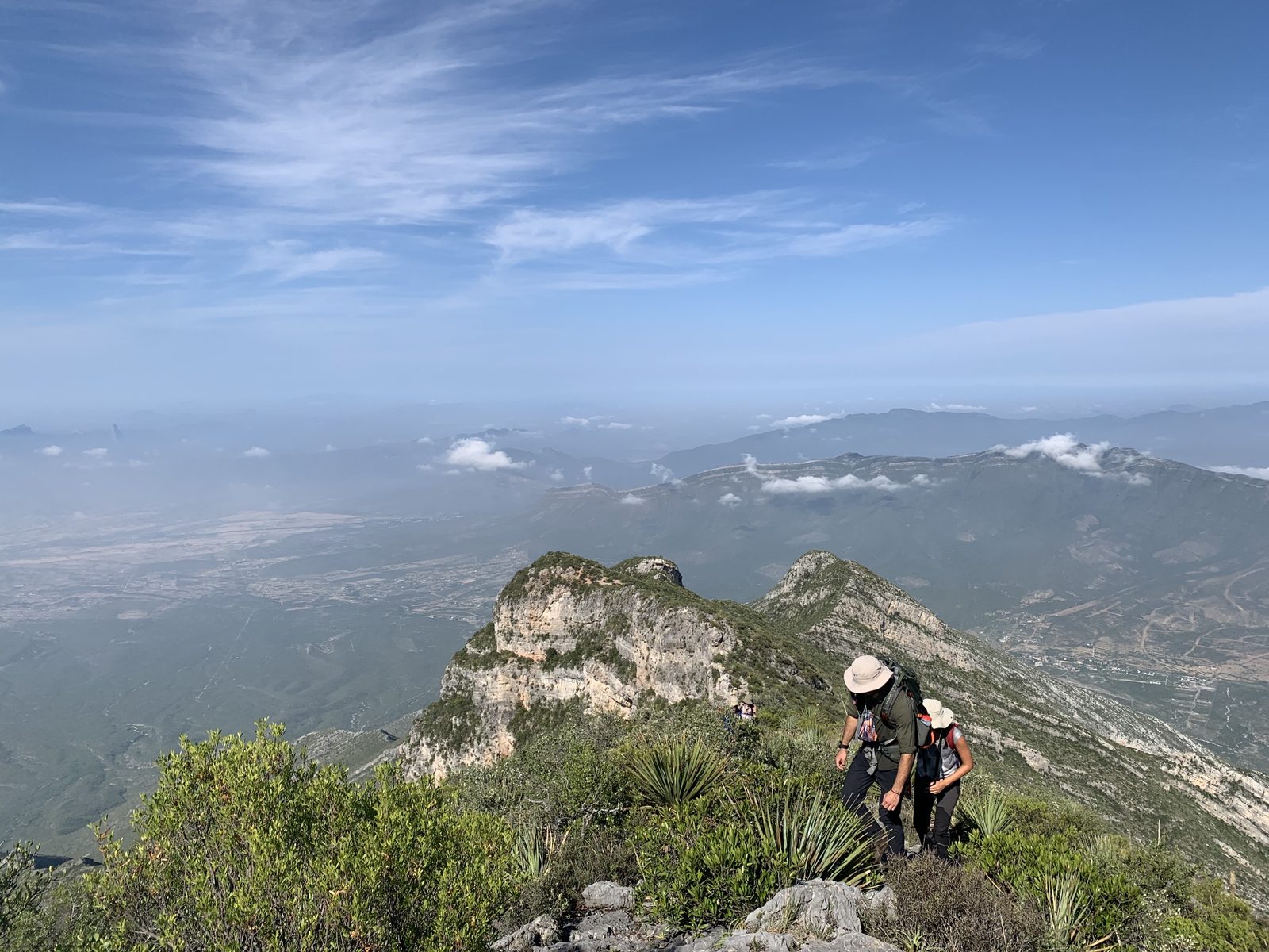
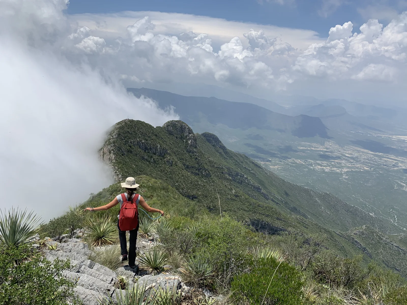
The highest peak in the metropolitan area; its altitude is 2,392 meters above sea level. Its physical difficulty challenges even the most experienced hiker
Warnings


Level
i
Packing List
How to get there
Trailhead Access
The beginning of this route is located on the road to Icamole, Ejido de García. On the road, turn right and a dirt road (approx. 400-500 m.) begins in the direction of the hill. At the end of the road you can find some ranches. From here the tour begins.
Parking Information
There is enough space to leave several cars. People who live on ranches have been letting people park for many years and can take care of your car (without obstructing the dirt road). If you see people before starting the tour, try to ask them to please take a look at the cars and leave them a tip at the end of the day.
Fees & Park HoursN/A
Trail Overview
The path is generally marked, but you have to be very careful in the first stretch of approach to the hill, since there are no longer many slats to be placed and this hill must be started without sunlight. On the way down, you have to be guided either with the Wikiloc, or with the building that is next to where the cars were left. From the “Coma” tree onward (as you ascend), the route is easy to follow.
Recommended Gear
It is very helpful to carry canes (due to the extra weight and to be able to go up and down a little faster), first aid kit, knife, extra battery and lamp, sunscreen and garbage bag.

Elevation Gain
1600 m
Total Distance (Out & back)
13 km
Total Time
11 h 10 m
Max Elevation
2400 msnm
This route has a level 9 physical difficulty based on our difficulty classification metric. This implies that the ascent has between 1,600 and 1,800 meters of unevenness. If it is a demanding climb, since on average there are 5 hours of climbing and practically all the time there is a considerable slope, so it is recommended to climb this hill only if you have good or excellent physical condition to be able to go down at a good time. It is recommended to start before 7 am due to exposure to the sun and NOT to attempt this hill during spring-summer.