La Marta
3074 ft
9.2 mi
7.30 hrs
12139 ft
La Marta
Sierra de Arteaga, Arteaga
3074 ft
9.2 mi
7.30 hrs
12139 ft
Explore 'La Marta' in the Sierra de Arteaga, the most prominent hiking destination. Enjoy a scenic tour that will leave you breathless with breathtaking views and the natural beauty of the region.
Warnings
DIFFICULTY
What to bring?
Taking into account the characteristics of the route, its approximate duration and its level of sun exposure, it is recommended to bring the following clothes with you: winter pants; hiking shorts in summer, long breathable sleeves to cover us from the sun's rays, hiking boots or shoes with adequate grip, hat, buff, lenses, gloves for sanding, summit jacket, since the temperature drops drastically, wearing many layers of clothing in cold weather (long shirt, jacket, warm scarf, etc).
How to get there?
Location:
Heading from Monterrey or Saltillo to the road to Matehuala, we will take the exit for San Antonio de las Alazanas, after La Carbonera. Once we head to San Antonio de las Alazanas, we continue straight until we find the Bosques de Monterreal area. At the first curve you see that turns left, this is Los Oyameles, which is where the route begins. There is plenty of space to leave vehicles, camping area (camping), corn, horse rental, and more.
Parking:
At the beginning of the route, there is a large, terrace-type space on the left hand side for parking vehicles.
Costs and Schedule:
The cost is $50 per person to complete the tour.
Additional Equipment:
To complete this tour, it is recommended to bring the following if necessary. This route has witnessed multiple accidents, so you always have to be prepared. Thermal blanket, headlamp in case of emergency, power bank (additional backup battery), support sticks, whistles and communication radios for any emergency and to be in communication.
Route Trace:
The route is perfectly laid out and spacious. Arriving at the sandbank, it is also traced, but you can find some more marked pieces on the side of the road, because it is easier to climb. Going up to the summit, and the last stretch, is marked at the beginning, but then you can find a type of labyrinth of shrubs that have completely visible slats to follow the path.
How is the trail?
Physical Level
Technical Level
Solar Exposure
Altitude: 3700 msnm
Elevation: 937 m
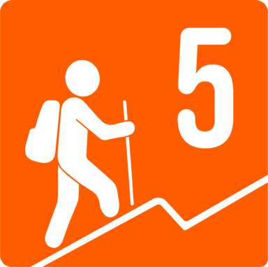
Based on our nomenclature, this route has a difficulty of 5 because there is a slope of between 800 and 1000 meters, specifically a slope of 878 meters. In addition, it covers a distance of around 15 km and the height, at 3670 meters above sea level, makes it even heavier and therefore requires very good physical condition.


