
La Rayita
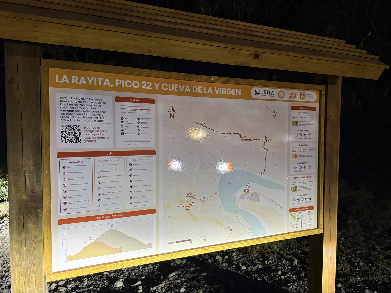
La Rayita
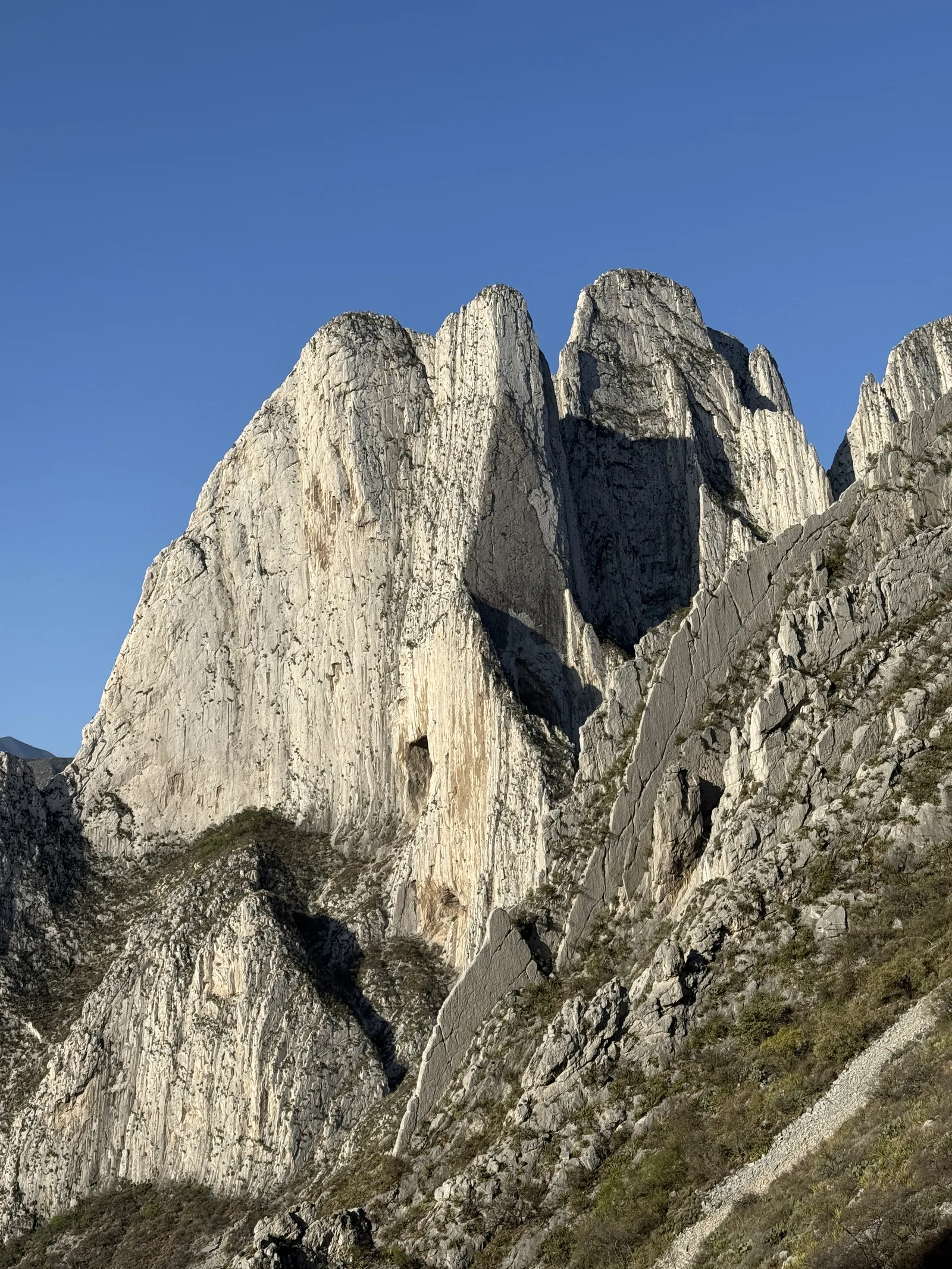
Parque Ecológico la Huasteca, Santa Catarina
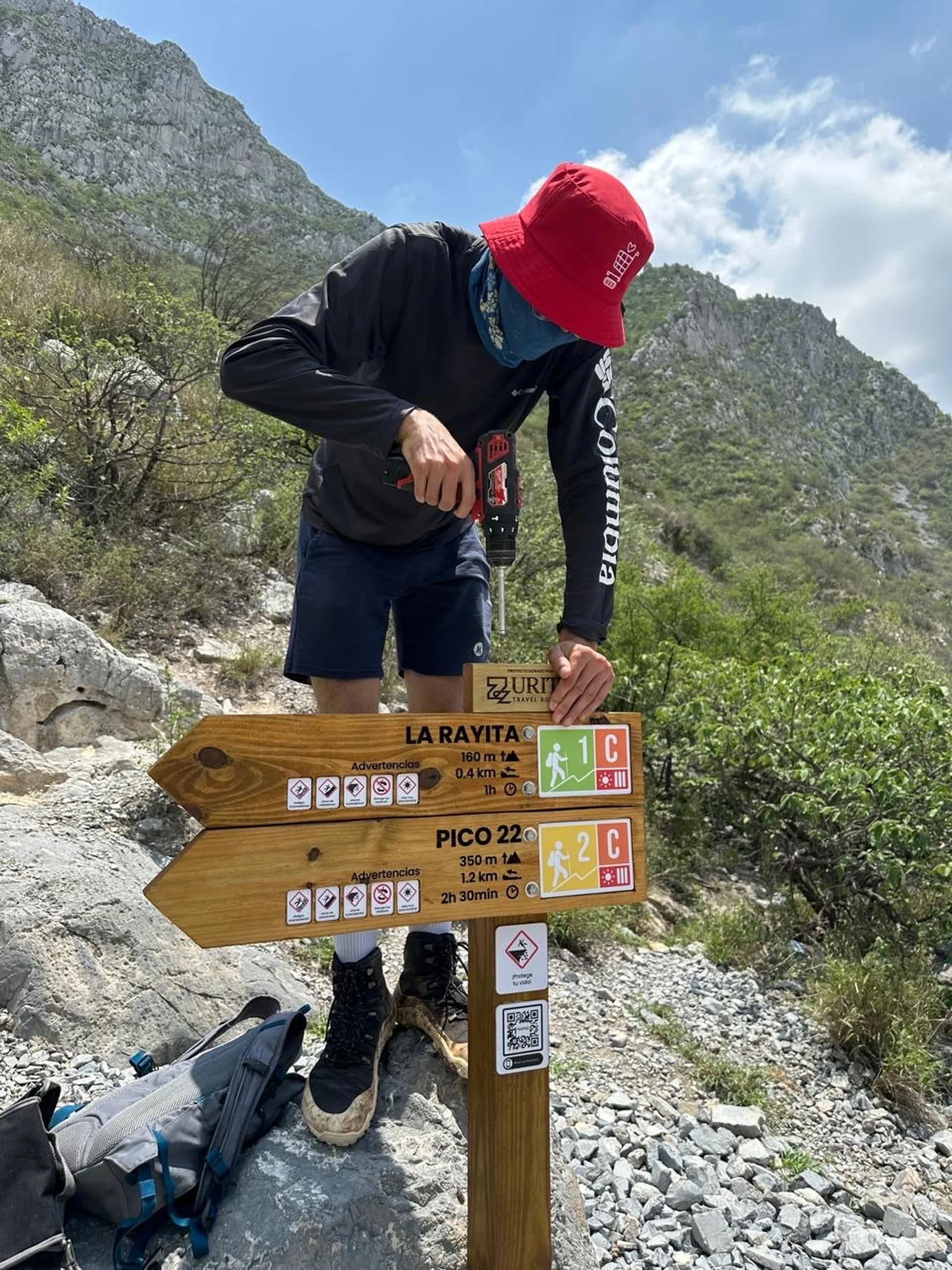
160 m
0.8 km
1 h
900 msnm
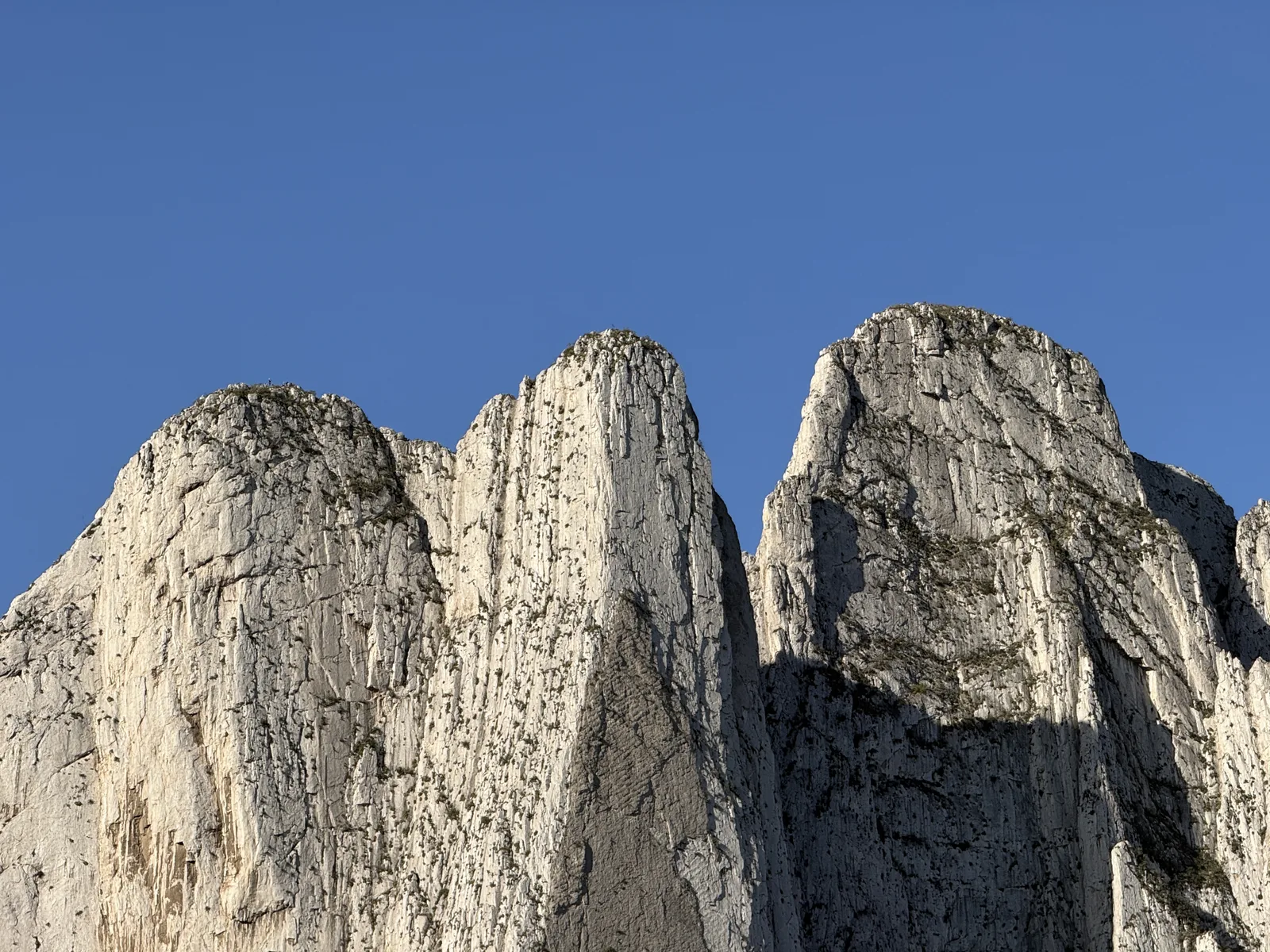
The shortest summit in Santa Catarina, with spectacular views of the Huasteca Canyon and the city!
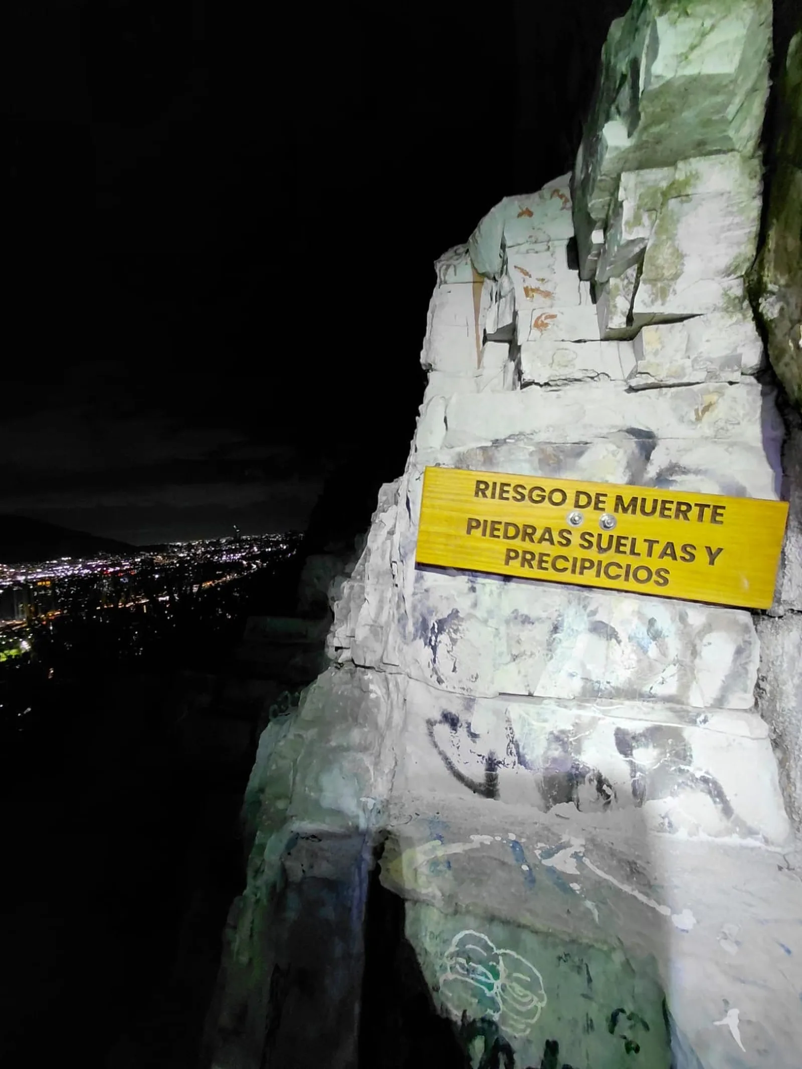
Warnings


Level
i
Packing List
How to get there
Trailhead Access
Use your favorite browser to search for Parque la Huasteca and follow the prompts. Once you enter the Huasteca park, you can park in the first available parking lot on your right where there is a large sign passing the first bridge. From there, there is a path that leads directly to the Camino de la Raya. Most of all, you have to go down to the river and use the Wikiloc to get to where the path begins. In the distance, if you look at the edge of the mountain in the direction of La Raya, you can see a white line over the mountain. (this is the climb to the line).
Parking Information
There are two parking lots, one outside the booth and another one after passing the booth. If you want to walk a little longer, you can park outside the La Huasteca park booth and walk along the river until you reach the beginning of the sidewalk.
Fees & Park HoursN/A
Trail Overview
The route is very easy to follow and usually there will always be someone else climbing. Before starting the climb, observe the mountain and analyze your final goal to avoid getting lost.
Recommended GearN/A

Elevation Gain
160 m
Total Distance (Out & back)
0.8 km
Total Time
1 h
Max Elevation
900 msnm
This route has a level 1 physical difficulty based on our difficulty classification metric. This means that the ascent has no more than 400 meters of unevenness, so it is not a very demanding climb. Going up at a high pace you can reach Puerto de la Raya in less than 10 minutes, but the climb usually takes an average of 40 minutes to achieve.