
Mesa de Morteros o Pico Horcones
Mesa de Morteros o Pico Horcones
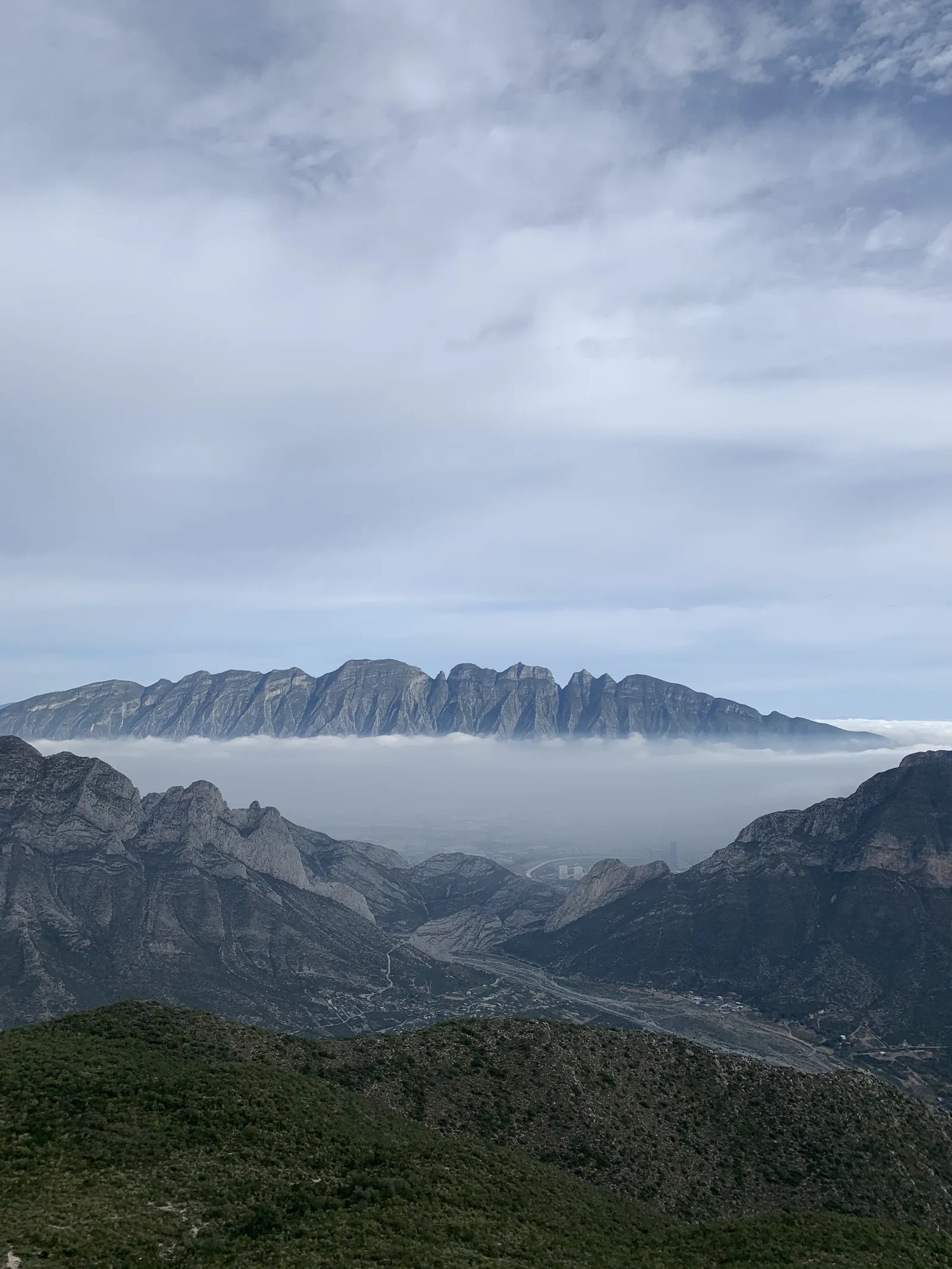
Parque Ecológico la Huasteca, Santa Catarina
619 m
5.4 km
5 h
1364 msnm
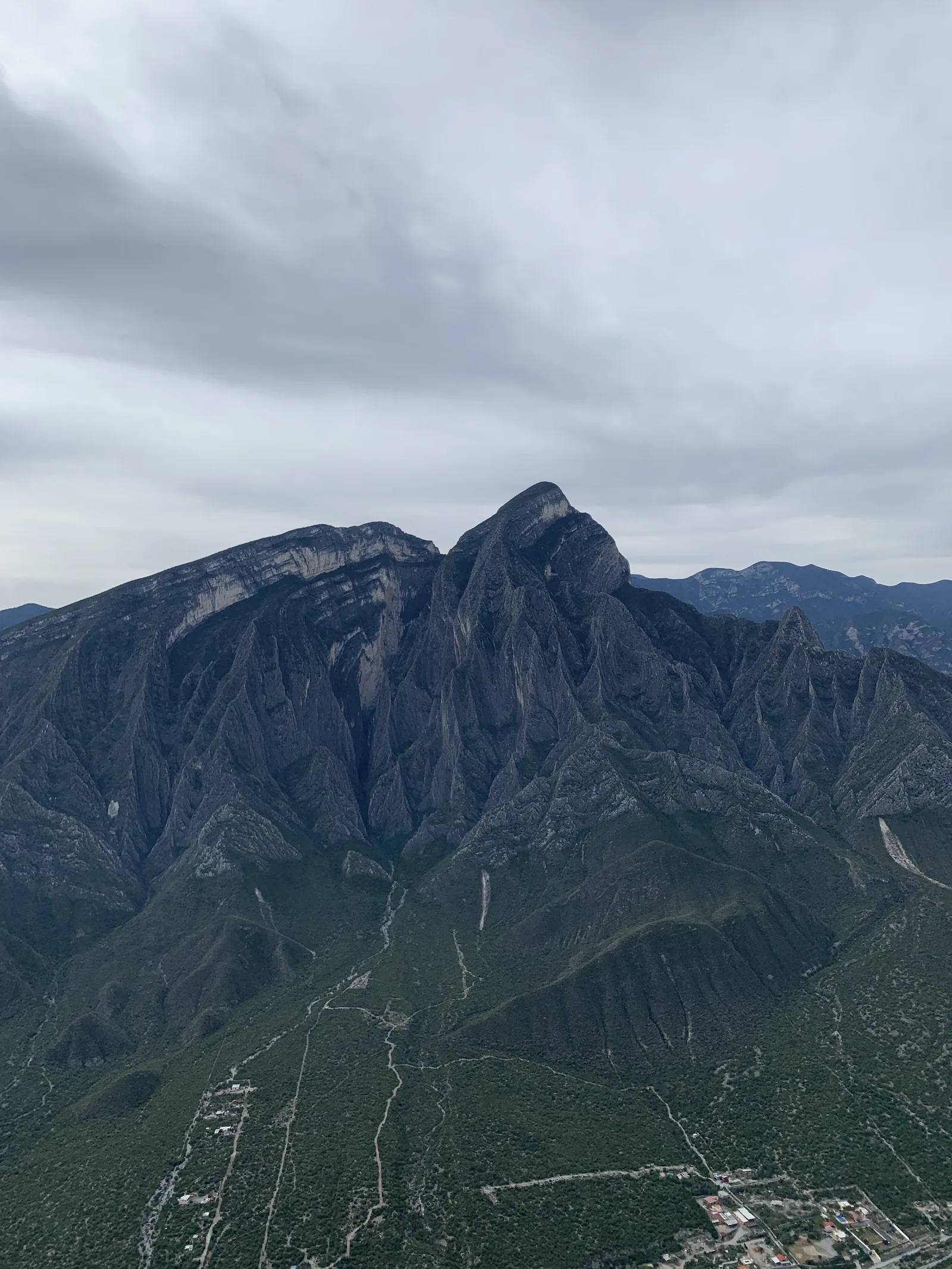
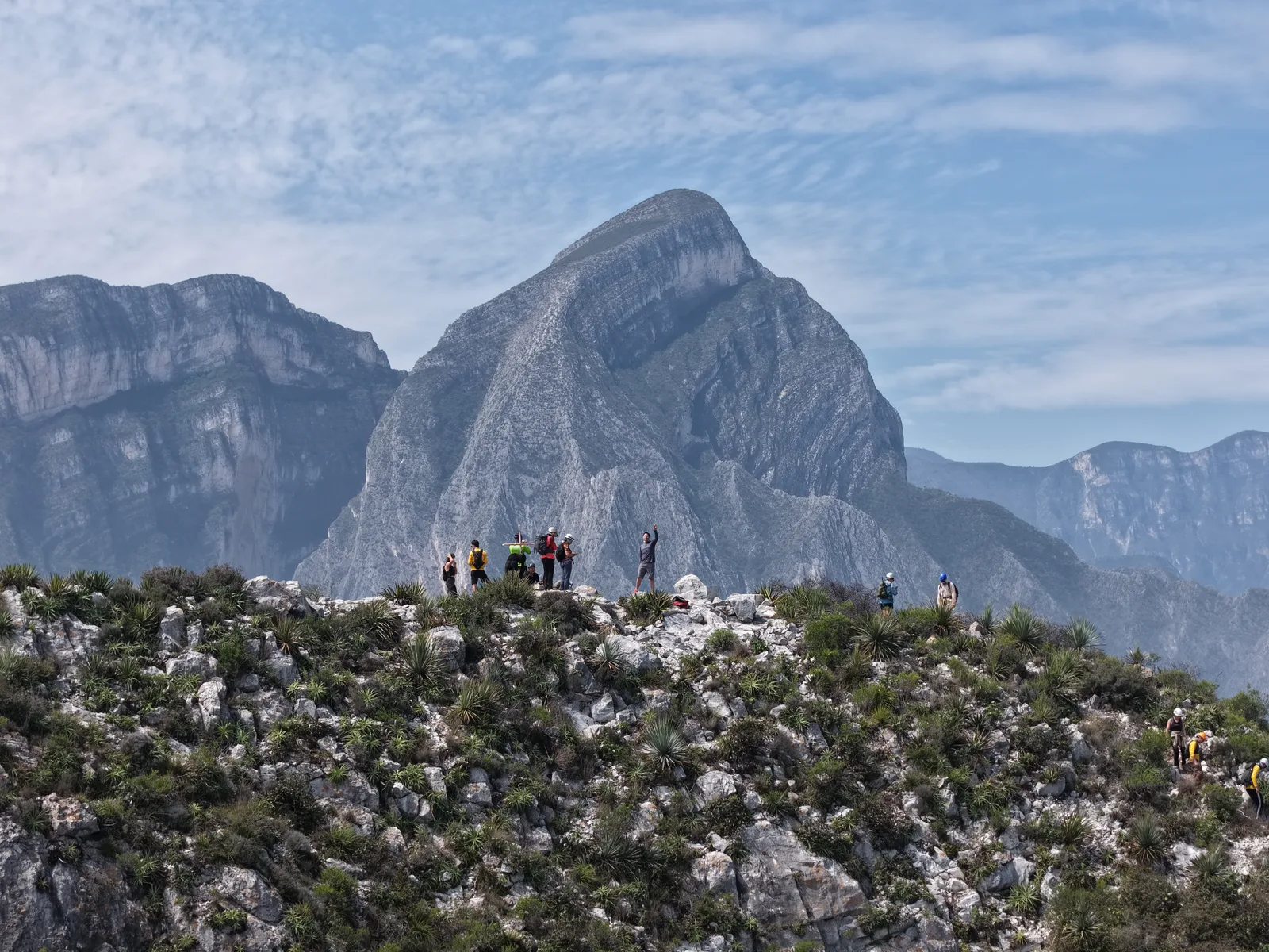
Mesa de Morteros or Pico Horcones as some hikers call it is one of the best peaks for hiking near the city.
Warnings


Level
i
Packing List
How to get there
Trailhead Access
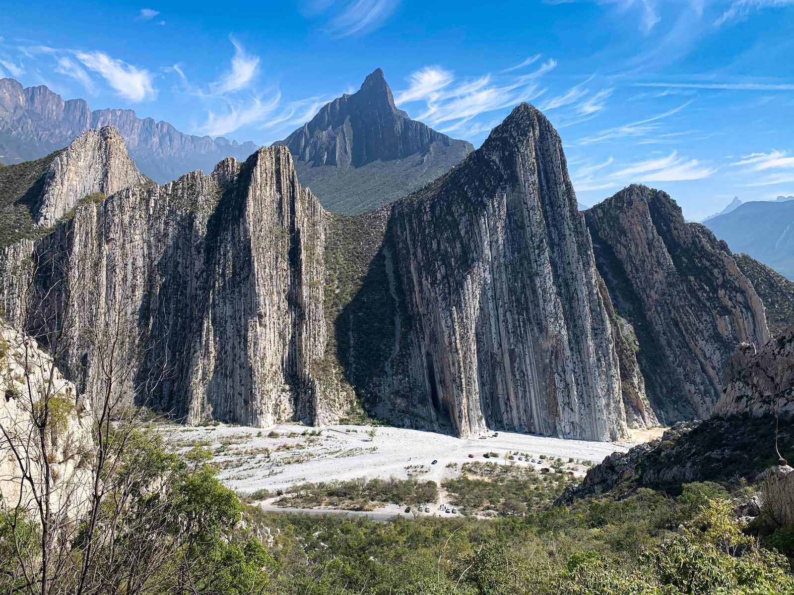
The entrance to the village is located approximately 5 km from the entrance to La Huasteca park. To get there, search for Parque La Huasteca in your favorite browser and follow the directions. After crossing the guardaganado, the main road is straight, in the background you will see two small mountains, the one on the right side is Pico Horcones. After parking you should find the sign that says Mesa de Morteros and marks the beginning of the sidewalk.
Parking Information
To park, there is a limited amount of space just before the start of the sidewalk, next to a tree and a large stone, but on the left (looking from the entrance to the breakwater) there is a detour that goes down to the climbing area known as “Extrema”. There is ample parking space here. There is no cost to enter the park and there is no need to book either. You can also park in designated spaces on the left hand side of the road, just in front of the sidewalk.
Fees & Park HoursN/A
Trail Overview
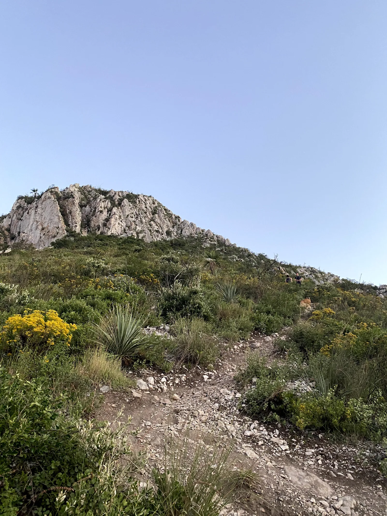
The path is very marked and it's hard to get lost. A key point where you have to be a scuba diver is right when you start descending after reaching the summit. You have to be aware of the deviation that the sidewalk makes to the right to start descending the semi-vertical climb. It's VERY easy to follow yourself straight when you start your descent, make sure you DON'T go straight and take the first turn to the right.
Recommended Gear
As a preventive measure to avoid accidents, it is recommended to carry the following: canes, helmet, first aid kit, knife, portable battery, flashlight, whistle, thermal blanket and garbage bag. It is very important not to throw away or throw away any type of garbage, consider carrying a bag to use to carry your containers and those you find on the road. For a few months this route was closed due to this problem and an agreement was reached in which hikers commit to keeping the sidewalk clean.
Elevation Gain
619 m
Total Distance (Out & back)
5.4 km
Total Time
5 h
Max Elevation
1364 msnm
This route has a level 3 physical difficulty based on our difficulty classification metric. This implies that the ascent has between 600 and 800 meters of unevenness. It is not a very demanding climb, but it is advisable to have hiking experience before trying to climb this hill. We must be aware of the time at which we choose to climb. Before 4 in the afternoon this climb is usually completely exposed to the sun and therefore you should NOT attempt to climb at this time. So, we recommend that you go up before 7:30 in the morning or after 4 in the afternoon with a lamp and knowing the way beforehand.