Minas
2802 ft
3.0 mi
4.30 hrs
5341 ft
Minas
Cerro de las Mitras, Monterrey
2802 ft
3.0 mi
4.30 hrs
5341 ft
This climb is ideal for people with some experience but who do not yet know the Mitras hill. It serves as preparation for climbing one of its peaks.
Warnings
DIFFICULTY
What to bring?
- Sneakers or boots designed for hiking, seeking to have good grip on the ground. - Shorts or pants, depending on the weather, as well as the upper garment.
How to get there?
Location:
You can search Google maps for “Vereda Cerro de las Mitras” which will take you to the booth located on Venecia Street, it will usually send you along Avenida Leones and you will take the side road to Avenida Sevilla located at the height of Plaza Cumbres. You will climb this street until it meets Richard E. Street and finally turn towards Venice to continue on this road until it ends.
Parking:
On Venecia Street there is plenty of space all over the sidewalk, and even on busy days there is space available for parking.
Costs and Schedule:
At the time of writing this review (November 2023), there is no cost.
Additional Equipment:
- Headlamp. - First aid kit. - Emergency whistle. - Thermal blanket. - Helmet (optional) - Canes.
Route Trace:
The start has no losers, it is a constant climb where you will see a very marked path. It is up to the stone bed (a stone about 8 meters in diameter) that it gets a little lost but it is only necessary to keep climbing up the sandblaster until you reach a point where you will notice that there are a large number of graffiti and arrows pointing to the left. Following this path you will find the source and here is the steepest part, some 20 minutes taking the sidewalks to the right and you will reach the bike ride, from here you just have to walk flat.
How is the trail?
Physical Level
Technical Level
Solar Exposure
Altitude: 1628 msnm
Elevation: 854 m
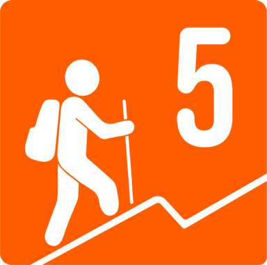
With approximately 800 meters of unevenness over 3 kilometers, this route is classified as 5 in terms of physical difficulty. The path is a little changeable starting from lower to higher, if you don't feel ready you can start by climbing the stone bed (which is about a third of the route) or up to the cave of the mud (just in the middle). The ascent time is about 3 hours.


