
Mirador El Toro
Mirador El Toro
Potrero Chico, Hidalgo
747 m
5.6 km
5 h 50 m
1481 msnm
In general, the road is friendly and not complicated, although if it is done on a sunny day, you could suffer a lot in general.
Warnings


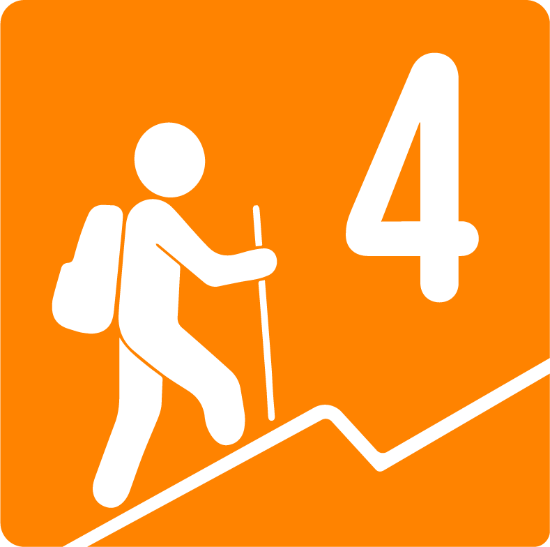
Level
i
Packing List
How to get there
Trailhead Access
Heading north we will take Gonzalitos Avenue, follow Fidel Velázquez and then we will take University Avenue (this is assuming that you come from this part of the city). If you are coming from Guadalupe, Juárez, or from the south of the city, it is easier to take Churubusco Avenue, and then join University Avenue. Continue in the direction of Nuevo Laredo until the intersection with Highway 53 that leads to Mina and Monclova, Coahuila. It will take us approximately one hour to get to the starting point from the city of Monterrey (considering that you leave at 5-6 am on the weekend for the tour).
Parking Information
Entering Potrero Chico Park, after one or two km the road becomes a little more complicated and there is some dirt. At the starting point of this route, you'll find some space to leave your vehicle on the side of the main road. Let's avoid obstructing to allow other cars to pass through.
Fees & Park HoursN/A
Trail Overview
The route is perfectly defined to reach the Mirador el Toro with signs from La Cumbre Cotidiana A.C.
Recommended GearN/A
Elevation Gain
747 m
Total Distance (Out & back)
5.6 km
Total Time
5 h 50 m
Max Elevation
1481 msnm
It has a positive slope of only 747 meters.