Naríz de Indio
3051 ft
4.3 mi
8.30 hrs
6358 ft
Naríz de Indio
ANP Cumbres Monterrey, Montemorelos
3051 ft
4.3 mi
8.30 hrs
6358 ft
This route offers us a good slope distributed over a relatively short length. It's a demanding route outside the city, but it's very pictorial.
Warnings
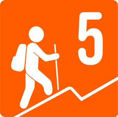
DIFFICULTY
What to bring?
- Hat or cap. - Buff. - Preferably, a long-sleeved t-shirt (breathable) and flexible pants, since there is a section with Ortiguilla. - Boots or sneakers with good grip.
How to get there?
Location:
The beginning of this route is right on the road to Rayones, coming from Montemorelos. The vehicles literally stay on the side of the road; fortunately there is enough space to park several cars without obstructing any lane on the road. To get there from Monterrey, we took the national highway to Montemorelos. We will take the road that leads to the Estrella Biopark (Highway to Rayones) and approximately 20 km later, there is the beginning of the village. There are no signs, so we'll have to guide ourselves with the map. On the right side there is a “viewpoint” where we can leave the cars and the sidewalk is on the left.
Parking:
It is recommended NOT to leave valuables in cars, as there is no type of establishment near where we park. There is enough space for approximately 3 cars and no road lane is obstructed.
Costs and Schedule:
It is only necessary to cover transportation costs.
Additional Equipment:
- Hands free lamp (mining type) - Thermal blanket - External battery - First aid kit (antiseptics, gauze, bandages, powdered electrolytes).
Route Trace:
The line is well defined. There are some bifurcations, but they practically lead to where. If you feel that the route is already closed or is no longer clear, the recommendation is to go back where we came from until it becomes clear again, because we are probably on the wrong track.


