
Pico 22
Pico 22
Parque Ecológico la Huasteca, Santa Catarina
350 m
2.4 km
2 h 30 m
1045 msnm
Climbing this summit goes beyond achieving a physical challenge and enjoying beautiful views. Your promotion is an important step in giving ecotourism value to the area.
Warnings


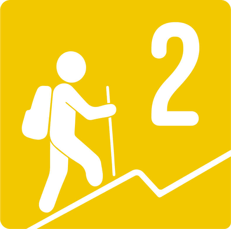
Level
i
Packing List
How to get there
Trailhead Access
To get there, use your favorite browser to search for La Rayita La Huasteca. This will take you to the parking lot where you can leave your car to start the tour. You can leave your car in the first parking lot past the entrance to the park. This is the easiest to find and with the least difficulty if you have a car with low suspension.
Parking Information
There are two parking lots, one outside the booth and another one after passing the booth. If you want to walk a little longer, you can park outside the La Huasteca park booth and walk along the river until you reach the beginning of the sidewalk.
Fees & Park Hours
As of today (November 2023), it has no cost.
Trail Overview
The route is very easy to follow until you reach the “v” of La Rayita, and then the road becomes a little more complicated when climbing up the Chorreadero. Later, the path becomes clearer as we can guide us on the ridge and walk a large part of it. There are indicators such as slats for following the path and monas (mounds of stones). The road on the ridge is much narrower than the line and therefore care must be taken at all times.
Recommended Gear
- Helmet - Headlamp - Portable battery - First aid kit
Elevation Gain
350 m
Total Distance (Out & back)
2.4 km
Total Time
2 h 30 m
Max Elevation
1045 msnm
This route has a physical difficulty of 2 based on our difficulty classification metric. This means that the ascent has between 200 and 400 meters of unevenness.