
Pico Norte
Pico Norte
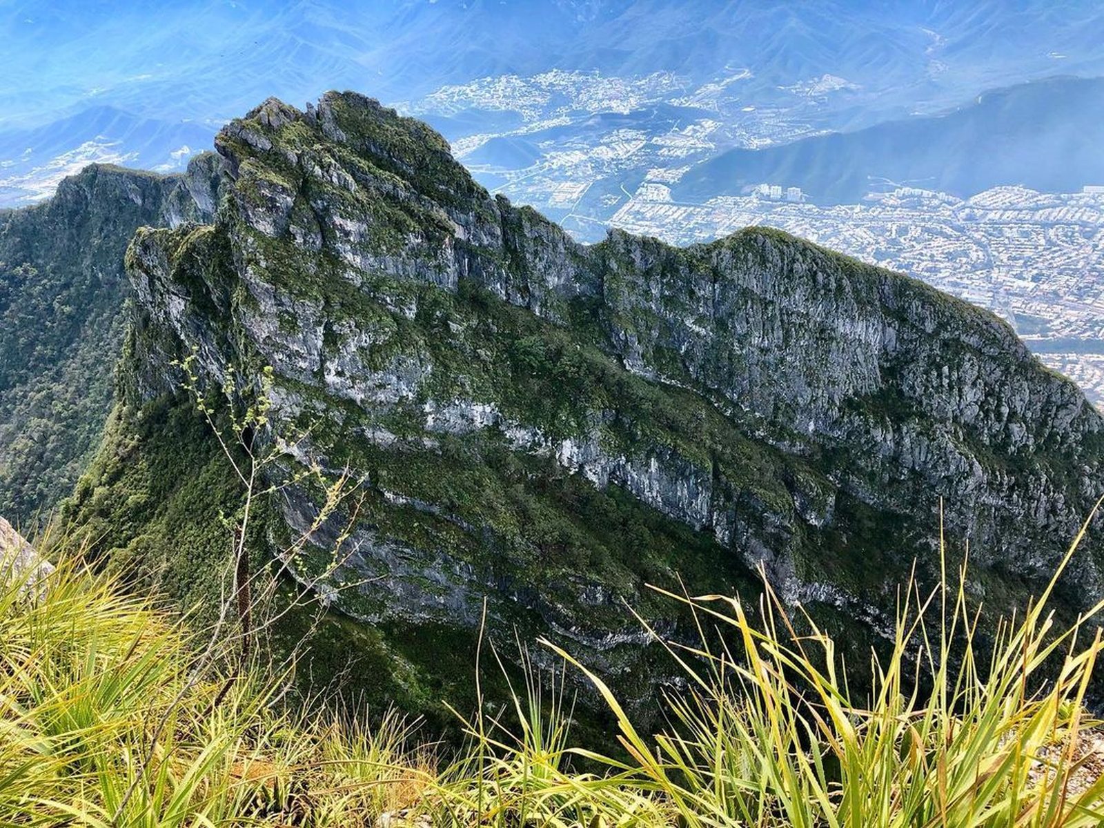
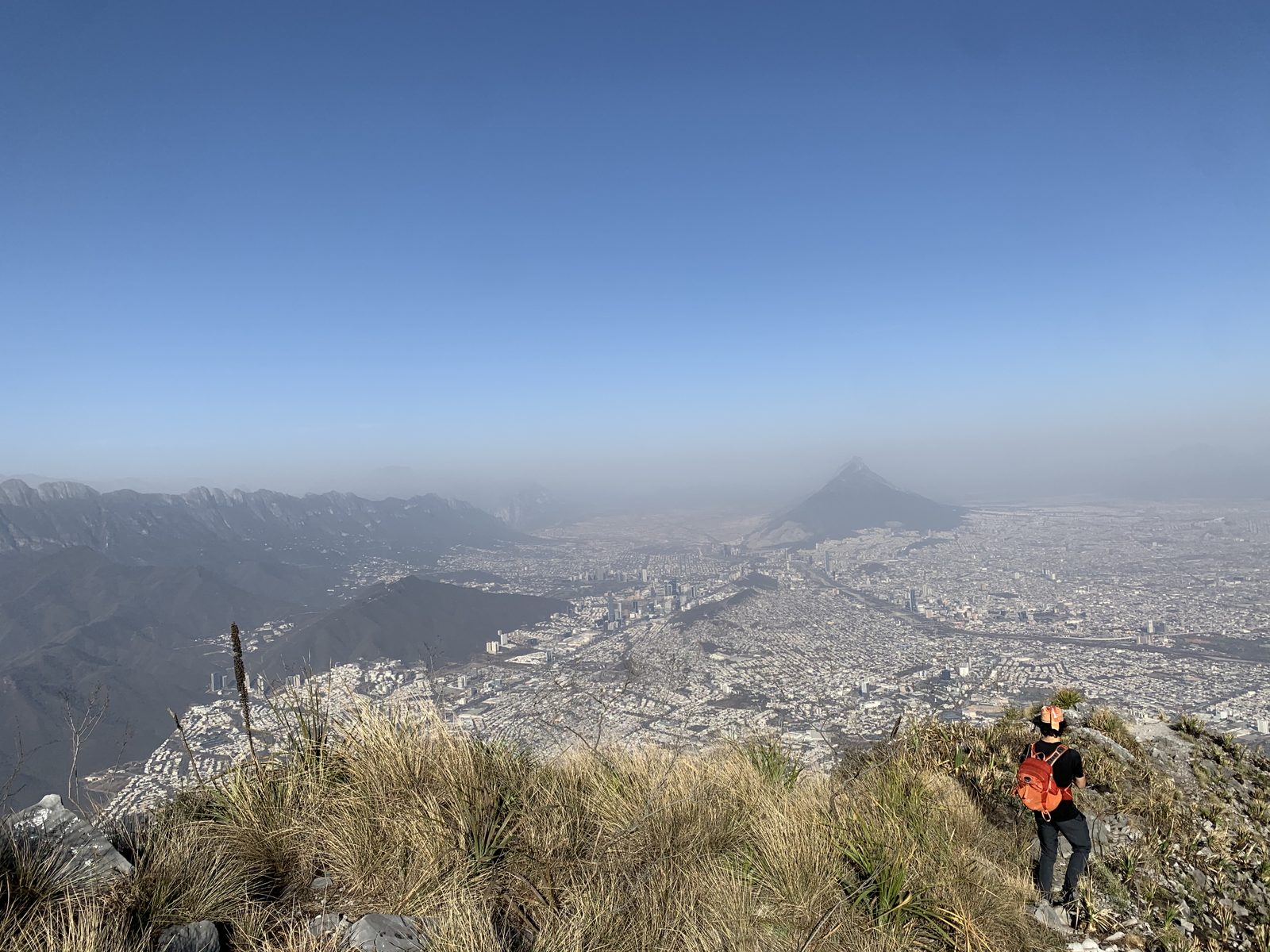
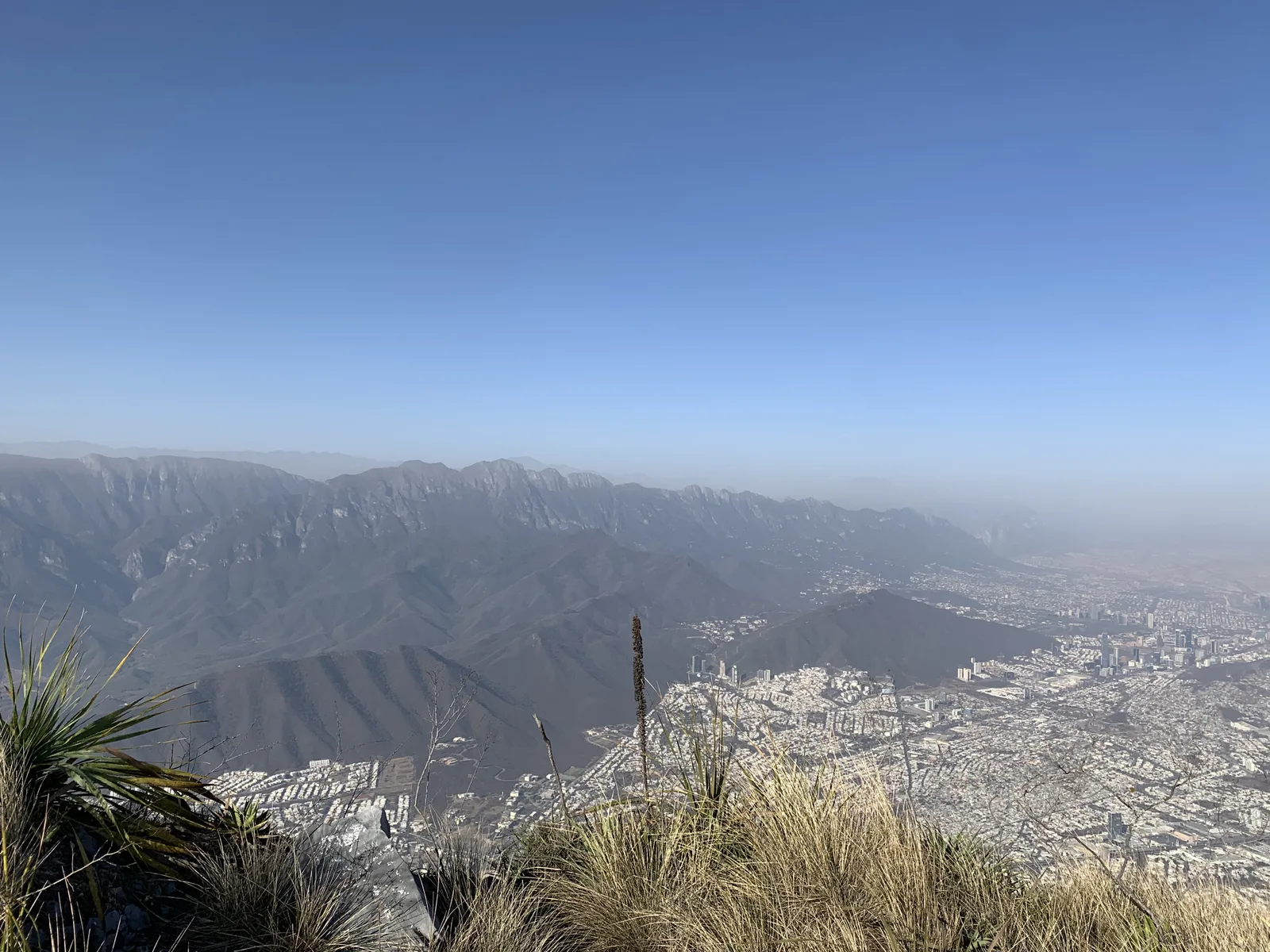
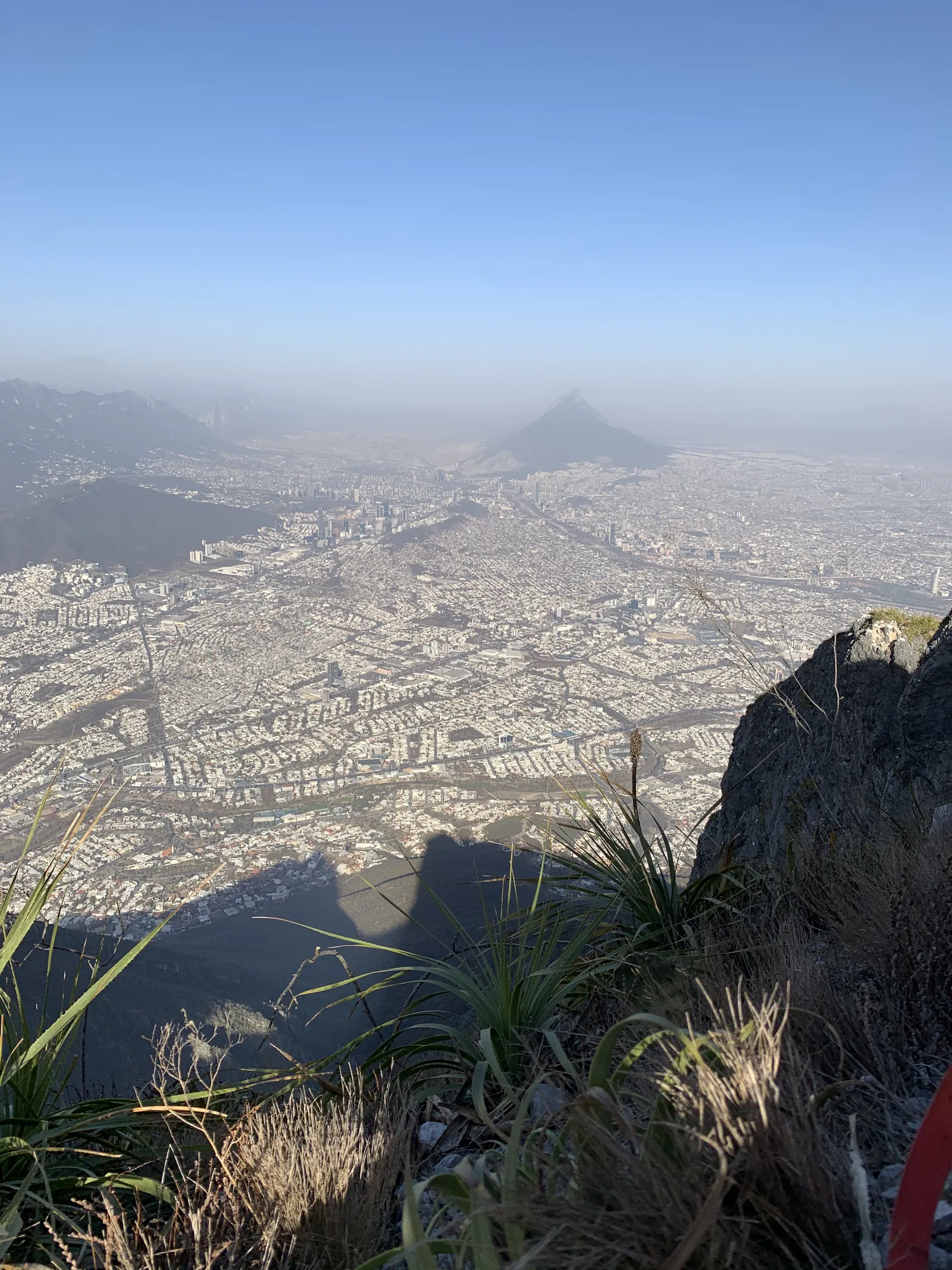
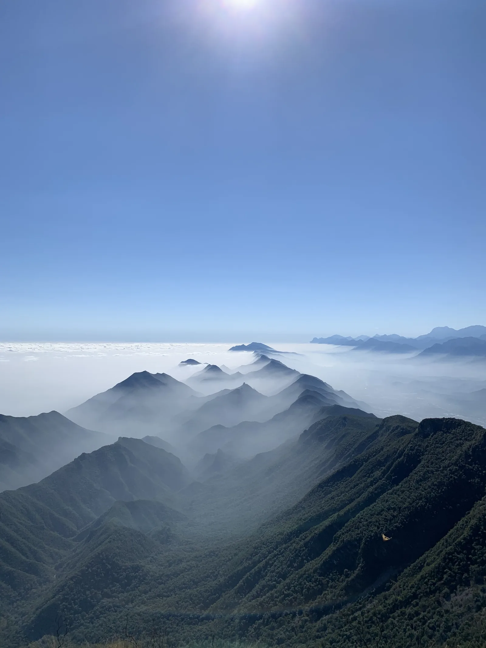
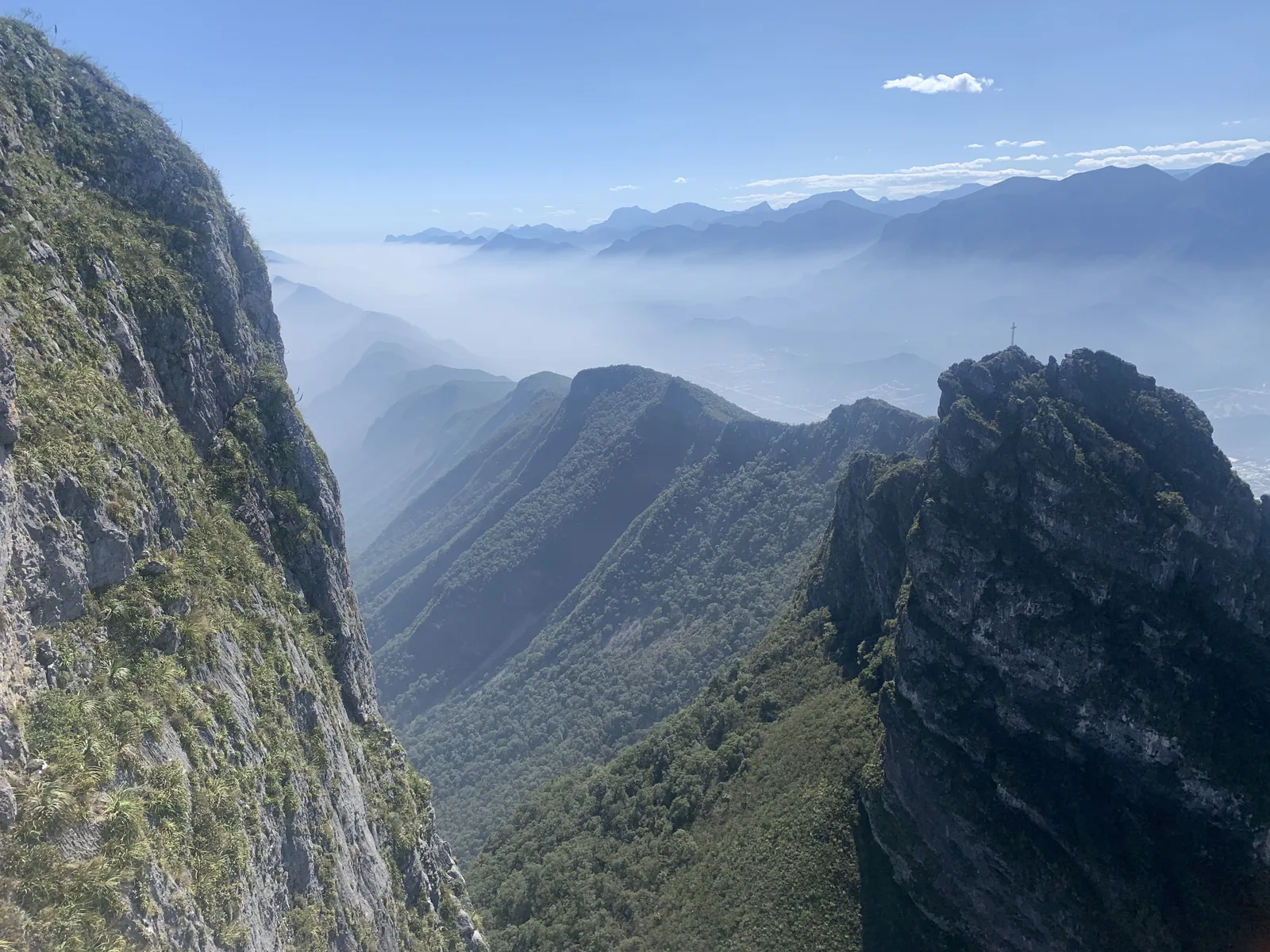
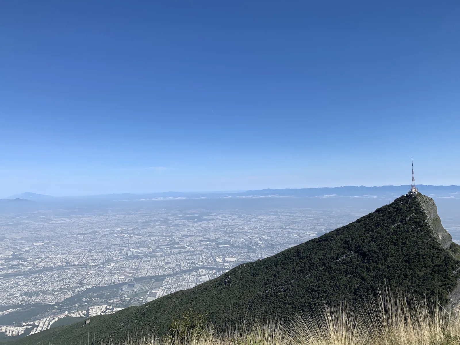
Monumento Natural Cerro de la Silla, Monterrey
1150 m
5.2 km
8 h
1781 msnm
Ascent to one of the most emblematic peaks in the city of Monterrey, the Cerro de la Silla.
Warnings


Level
i
Packing List
How to get there
Trailhead Access
Go to Alfonso Reyes Avenue through Las Americas or directly along Revolution Avenue and park in Hundido Park.
Parking Information
The entrance to the trail is in a private one where you cannot enter by car so you have to park on the edge of the Hundido Park on Av. Alfonso Reyes and there is always free space. We don't recommend that you stand on Albert Einstein Street because the street doesn't have much visibility and you could get in the way of traffic from neighbors. COSTS: There is no cost to this tour.
Fees & Park HoursN/A
Trail Overview
The path itself is marked, although there are 3 areas cleared by the slab where you will have to pay more attention because there are no marks, in these parts you will have to keep climbing and look for the path with slats (follow the Wikiloc GPX and/or the advice of the waypoints we marked).
Recommended Gear
Helmet, hiking poles, first aid kit, pocket knife, extra battery, flashlight, emergency whistle, emergency blanket.
Elevation Gain
1150 m
Total Distance (Out & back)
5.2 km
Total Time
8 h
Max Elevation
1781 msnm
This hill has the characteristic of having a fairly high degree of inclination with an average of 45% and in some cases reaching up to 50%. It is only 2.8 kilometers but in these we are going to climb approximately 1150 meters, it requires good aerobic condition and above all a lot of strength in our legs to withstand the constant climb.