Puerto La Papa
3937 ft
9.3 mi
7 hrs
8005 ft
Puerto La Papa
Parque Nacional Cumbres de Monterrey, Santiago
3937 ft
9.3 mi
7 hrs
8005 ft
In the center of the Sierra de Santiago, Puerto La Papa is located, one of the most beautiful mountains in Nuevo León.
Warnings
DIFFICULTY
What to bring?
Although most of the route is shady, it is recommended to wear a long-sleeved t-shirt, cool and flexible pants, hiking boots, and a Buff hat.
How to get there?
Location:
Heading south of the city of Monterrey, we head towards the municipality of Santiago, where at the height of the La Boca dam, turn right towards the Cola de Caballo hotel. This is a paved path, however, due to the inclination of the road, it is advisable to check both the tire pressure and the brakes of your vehicle in order to travel more safely.
Parking:
Just past the cabins of the Encinos, there is a fairly large and safe place on the side of the road where construction machines are usually left, at this point where vehicles can be parked. Although there is also the possibility of leaving the vehicle in the Ciénega de González where there are an abysmal amount of spaces, just consider the large stretch of walking from one point to another of about 1 kilometer.
Costs and Schedule:
It has no cost
Route Trace:
The route on this route is marked 90% of the trail, more specifically, until reaching the viewpoint and camping area is where the dirt road becomes a single track that is becoming increasingly narrow and where the vegetation is dense, it is important to carry the GPS or Wikiloc on the cell phone with the battery sufficiently charged to complete this path.
How is the trail?
Physical Level
Technical Level
Solar Exposure
Altitude: 2440 msnm
Elevation: 1200 m
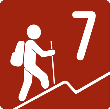
According to our nomenclature, this route is classified with a physical level grade 7, which means that it is a route that will have a considerable energy demand, climbing between 1000 and 1200 meters in altitude and taking approximately 8-9 hours to complete the route.


