
Recorrido Batea a Chancaca
Recorrido Batea a Chancaca
Parque Nacional Cumbres de Monterrey, Santiago
1650 m
18 km
10 h 30 m
2440 msnm
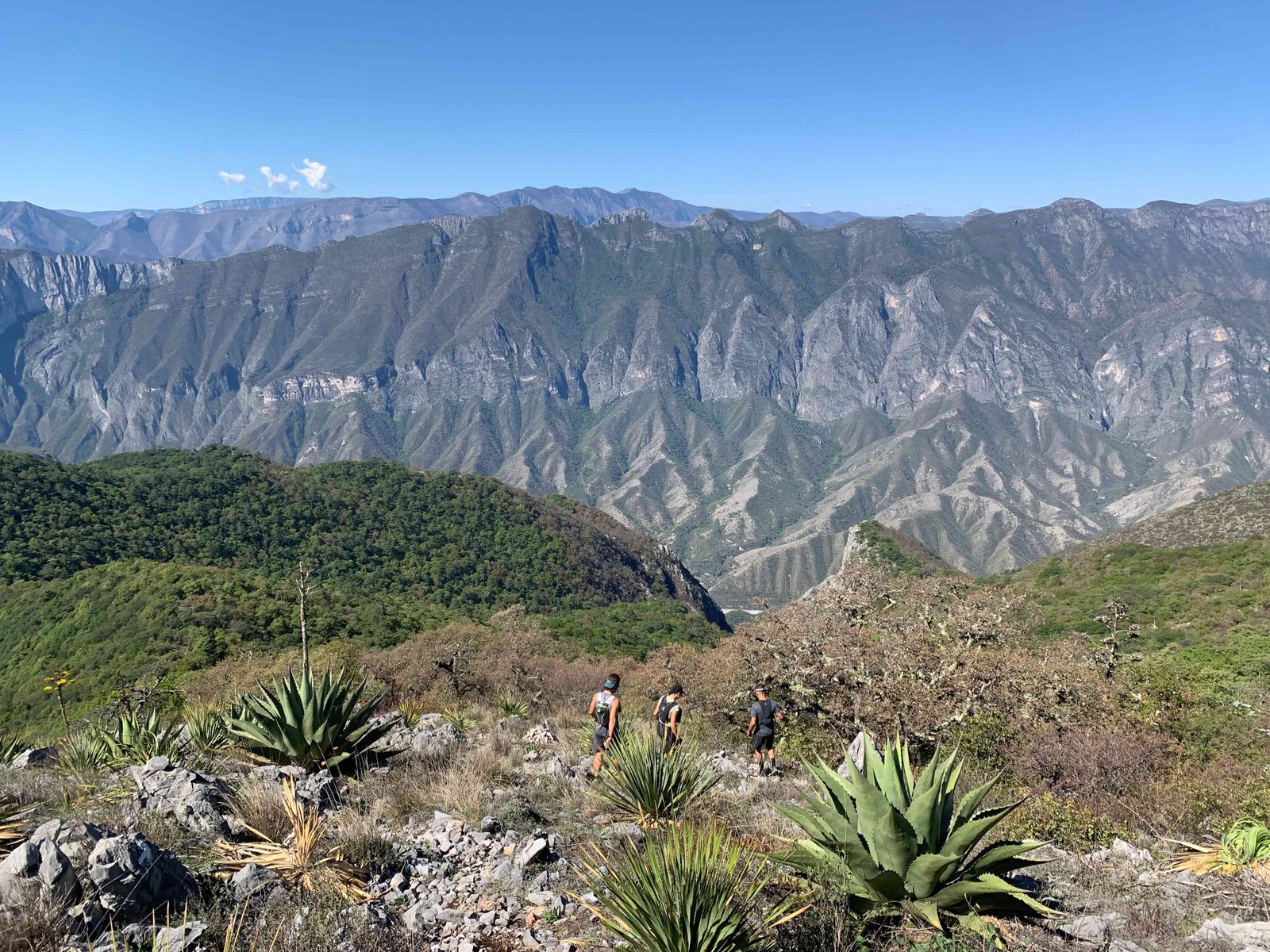
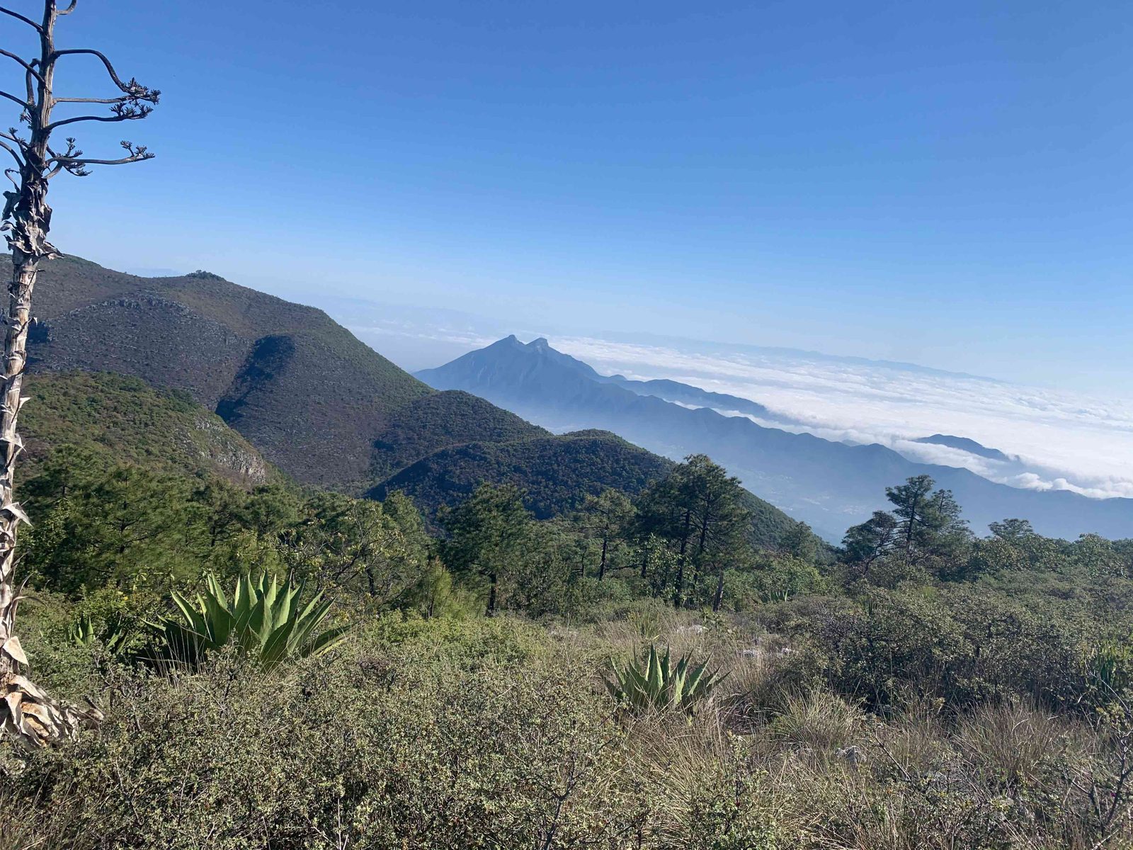
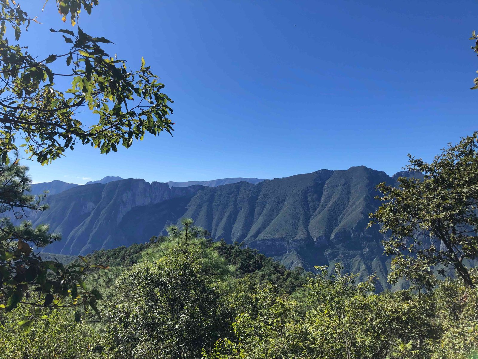
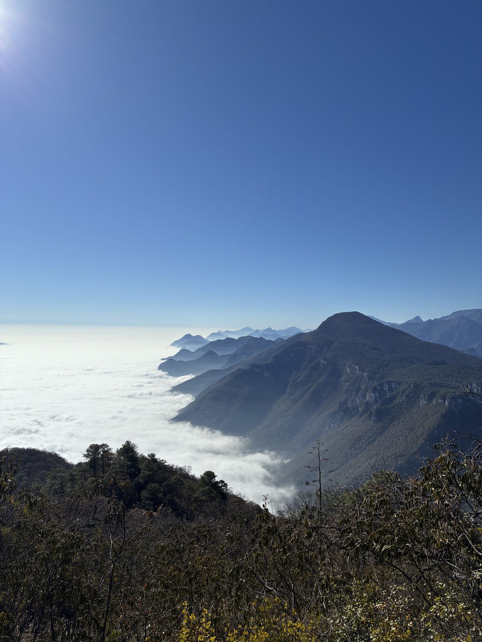
The Batea to La Chancaca circuit. Located in the municipality of Santiago, this route is one of the most emblematic in the area.
Warnings


Level
i
Packing List
How to get there
Trailhead Access
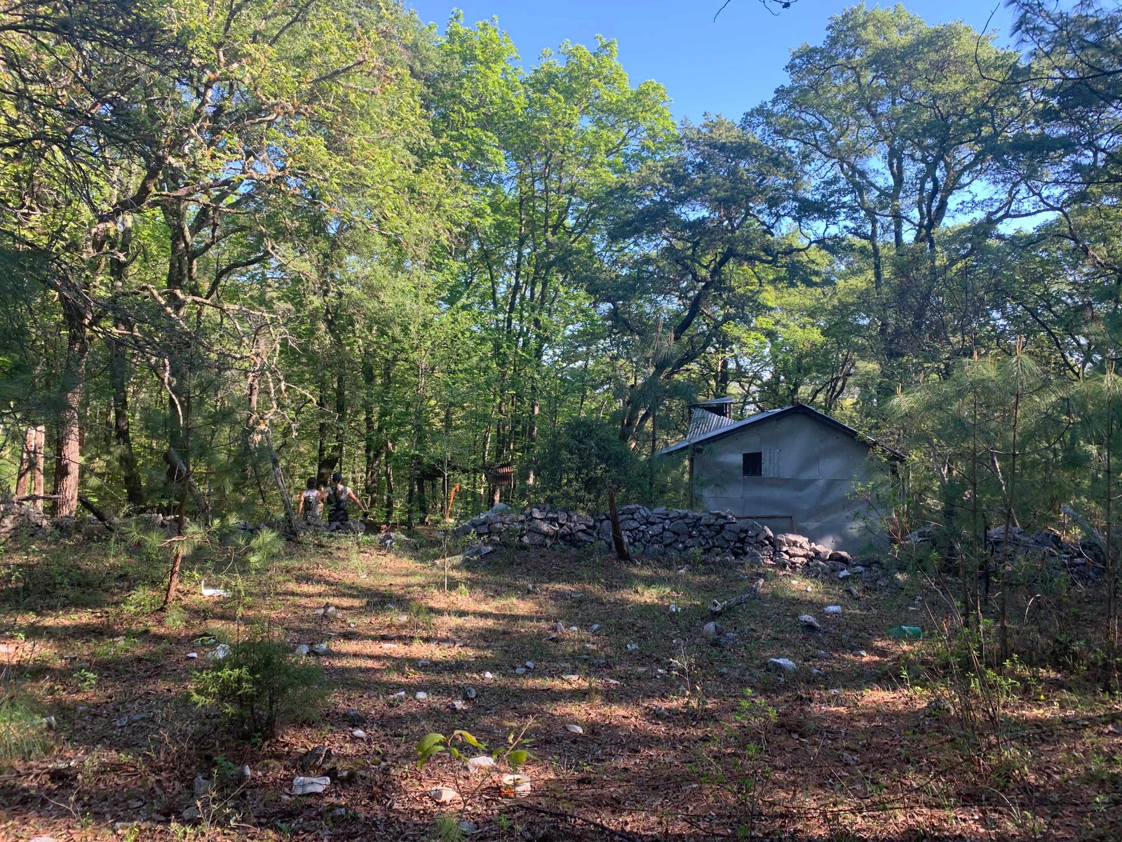
To get to the beginning of this route, take the road to the national road and turn right in El Barrial, Santiago. You drive for approximately 20 minutes in the direction of the mountains until you reach a dirt road called Camino del Sendero, until this point it is advisable to leave small vehicles and walk 2 kilometers to the Witch Forest (where the route begins). If you are traveling in a large van or jeep vehicle, you can continue those 2 kilometers without any problem to the Witch Forest.
Parking Information
For 4x4 vehicles: you can park in the Witch Forest, be careful not to obstruct the way for other vehicles or residents. The latter will add 8 extra kilometers (4 one way and 4 back).
Fees & Park HoursN/A
Trail Overview
The route is difficult, being hidden in sections, passing through several glens, landslides and high vegetation. There are several slats and multiple mojoneras that will make the job of locating the route more enjoyable, however, it is highly recommended that more than one has discharged the Wikiloc with enough battery.
Recommended GearN/A
Elevation Gain
1650 m
Total Distance (Out & back)
18 km
Total Time
10 h 30 m
Max Elevation
2440 msnm
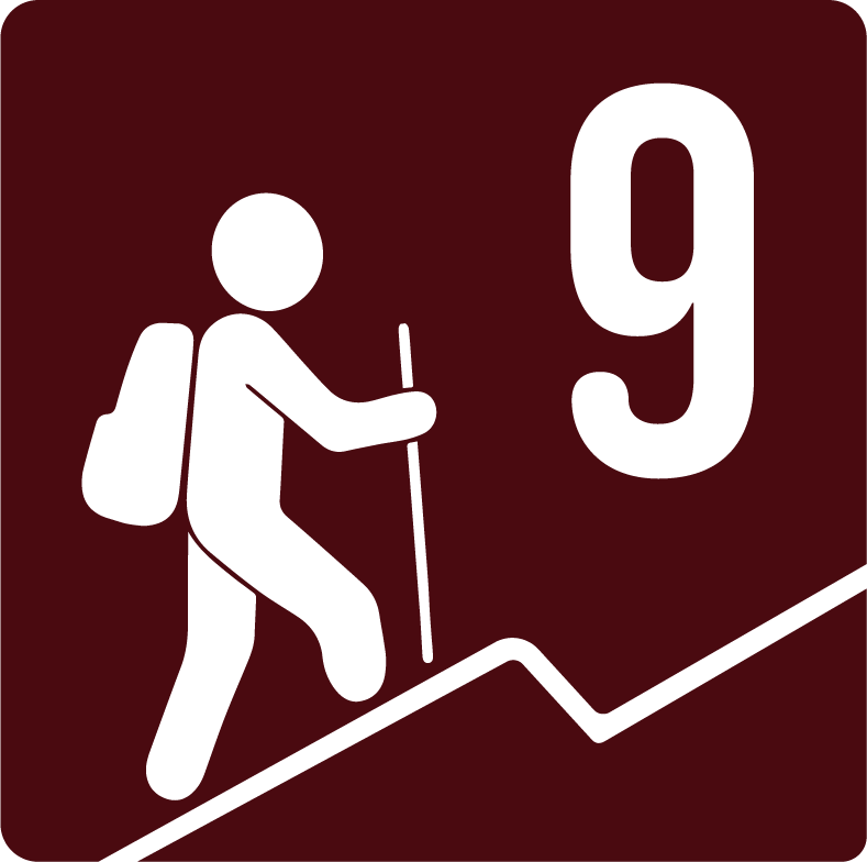
According to our nomenclature, this route has a degree of physical difficulty of level “9", which means that this route presents a fairly large physical challenge, with a difference in altitude of 1650 meters above sea level, taking approximately 10 to 12 hours to complete and should not start after 6 in the morning.