
Río Ramos
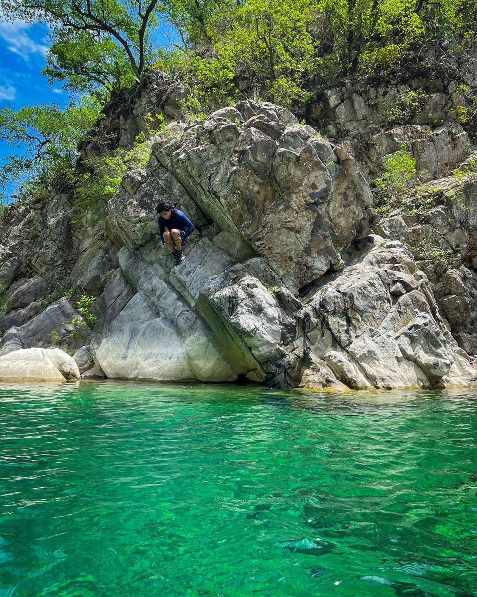
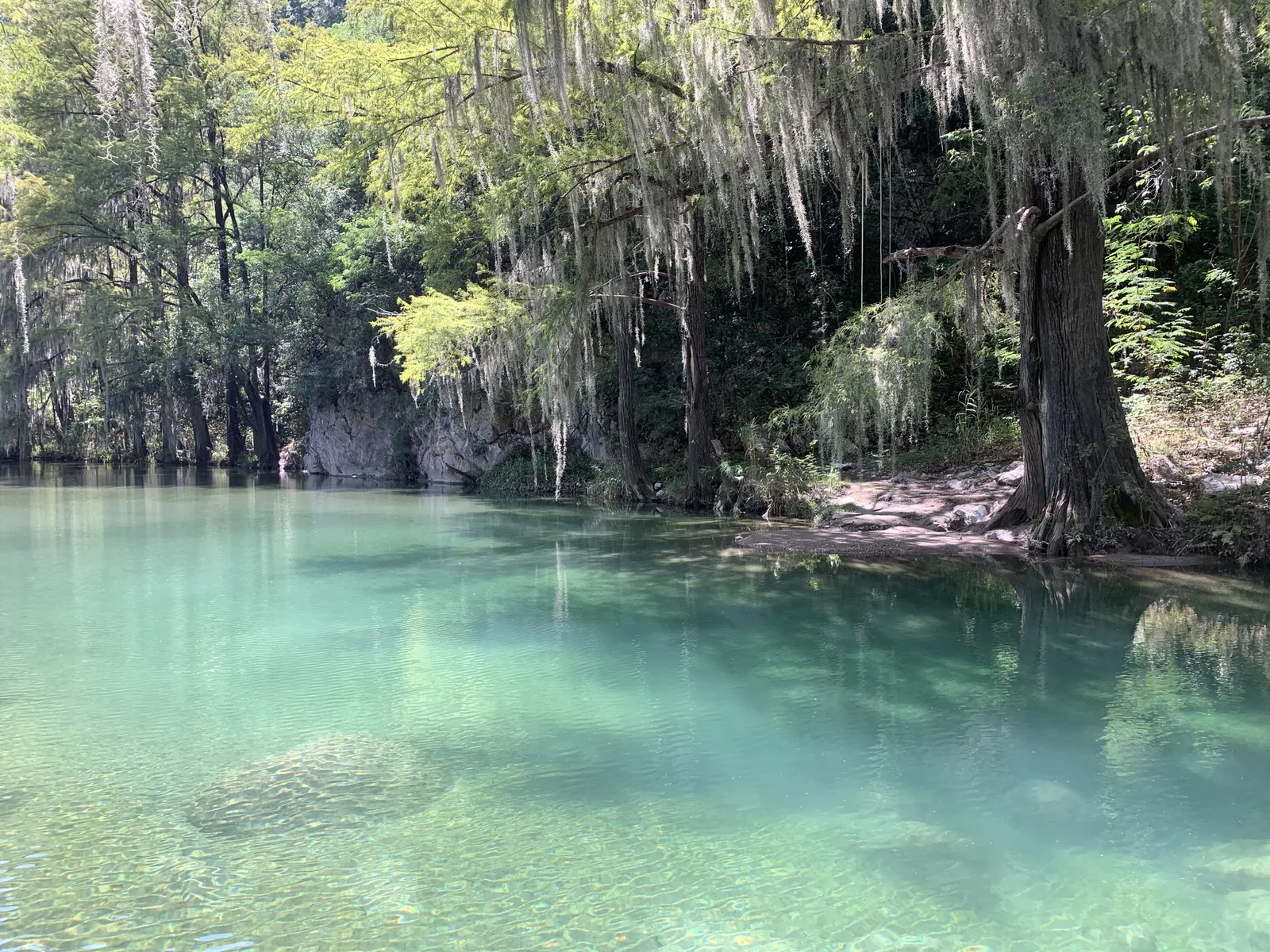
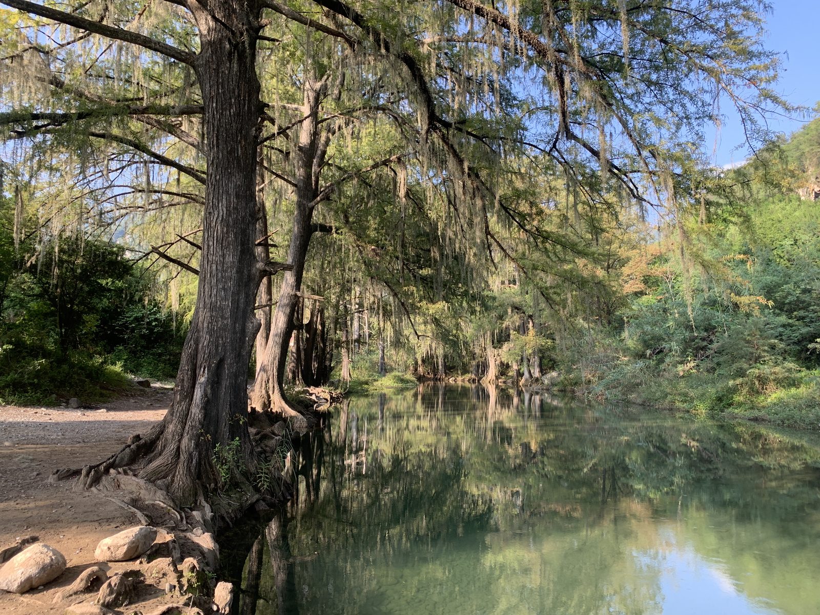
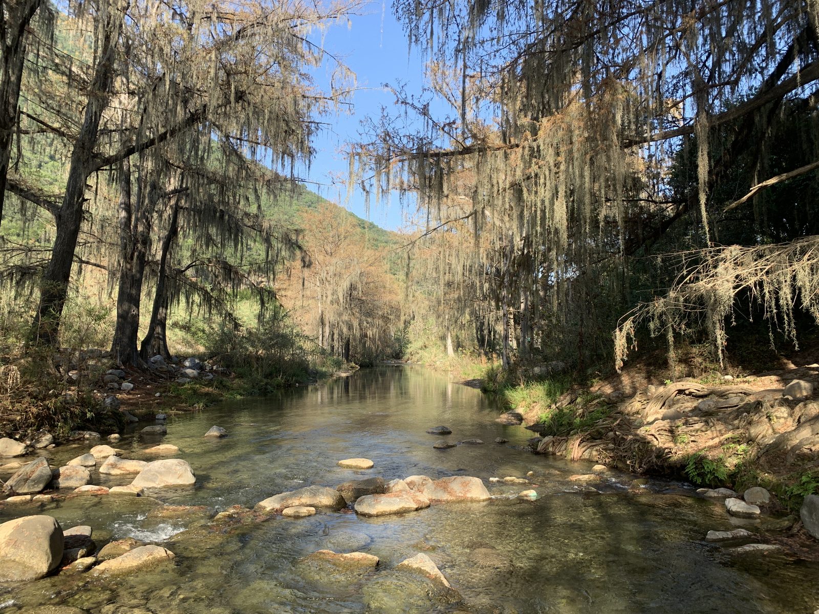
Río Ramos
Parque Nacional Cumbres de Monterrey, Allende
10 m
2 km
1 h
500 msnm
Tour of the Ramos River, one of the most beautiful places in Nuevo León.
Warnings


Level
i
Packing List
How to get there
Trailhead Access
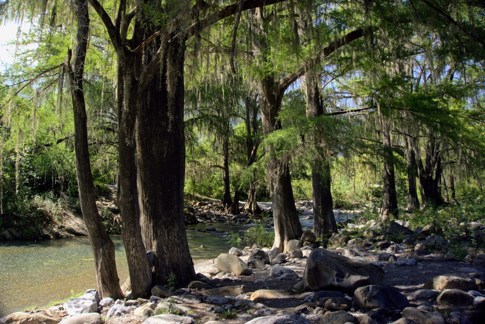
To get to the beginning of the village, drive along the national road until you reach Allende. Once you get a little deeper into the city, you pass the butcher shop “La Peñita” and turn right onto Lic. Ramiro Tamez street, where you drive towards the mountains for no more than 20 minutes on an incursion among the famous ahuehuetes of the Ramos River, which have easily been there for more than 100 years.
Parking Information
There is a fairly large parking lot in the Canavati Pass, although the recommendation is to park along the road without obstructing the passage, because this parking lot is sometimes congested during peak hours.
Fees & Park Hours
Sometimes, a $50 fee is charged at the entrance to the Ramos River for cleaning, maintenance and security reasons.
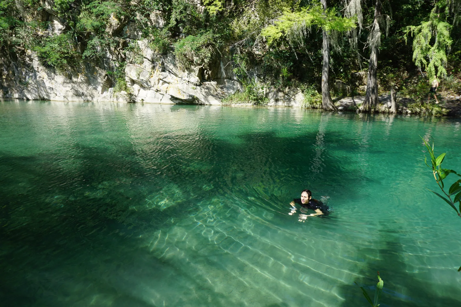
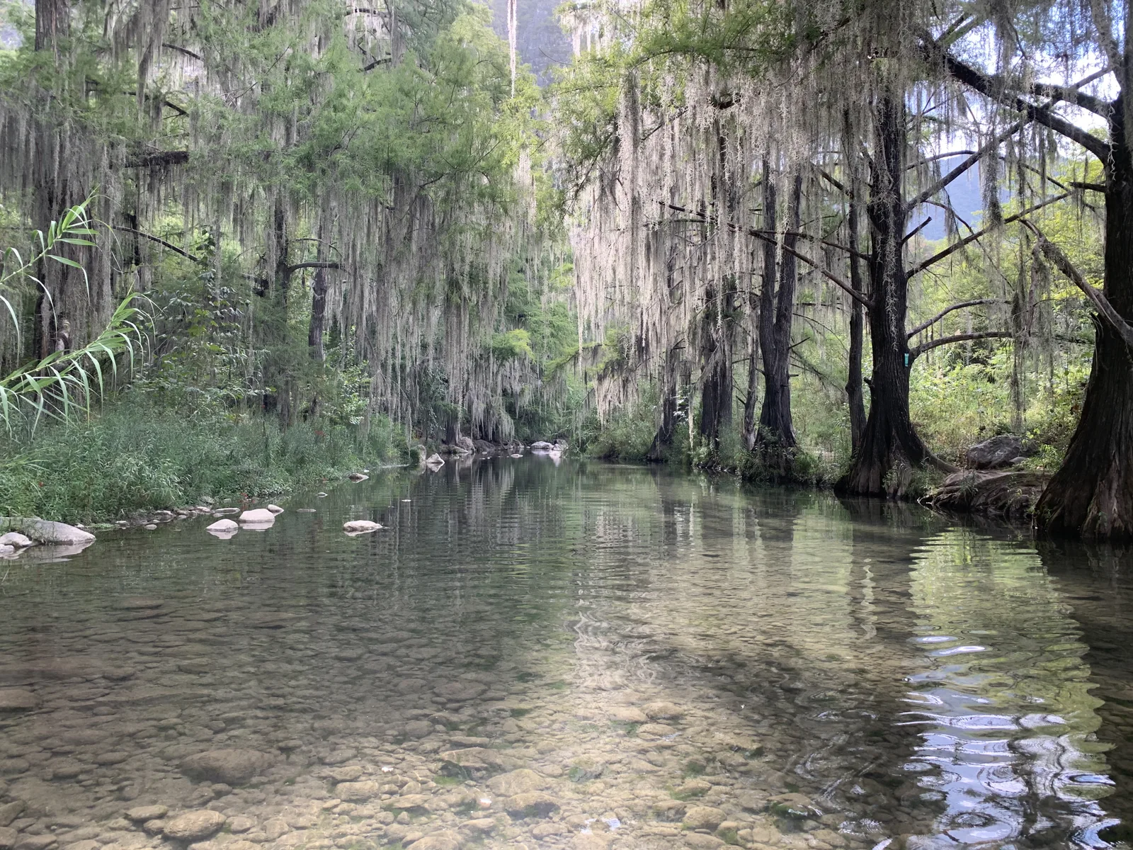
Trail Overview
The route is highly visible and fairly easy to identify because it runs along the river.
Recommended GearN/A

Elevation Gain
10 m
Total Distance (Out & back)
2 km
Total Time
1 h
Max Elevation
500 msnm
According to our nomenclature, this route is classified with a level of physical difficulty of grade “1”, which means that the slope is not greater than 400 meters, being practically non-existent on this route and that it can be done in 2 hours at most, being very quiet and friendly for all types of people.