
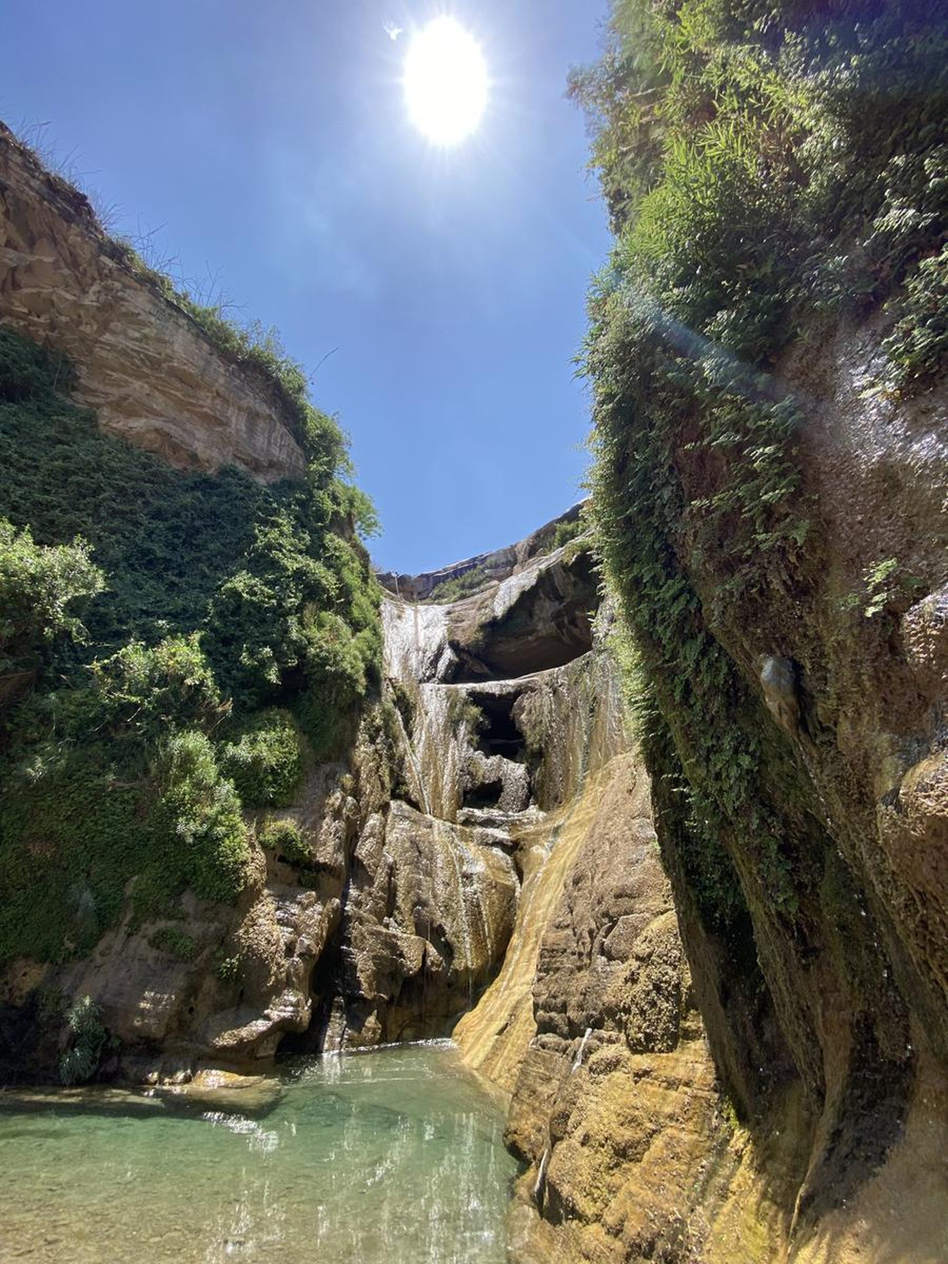
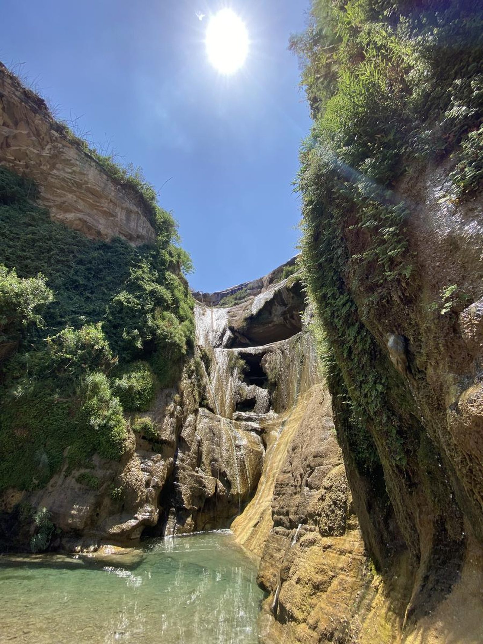
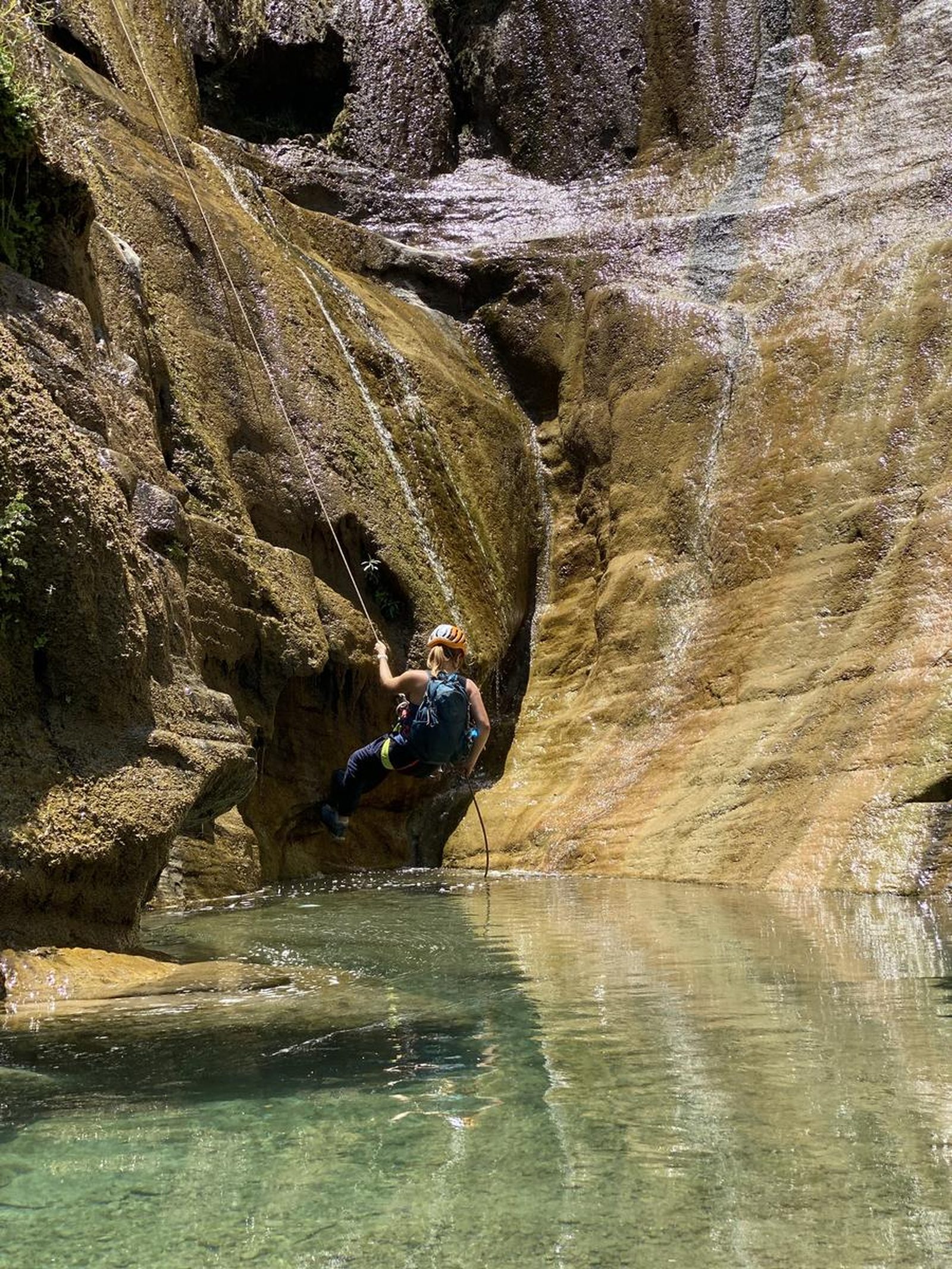
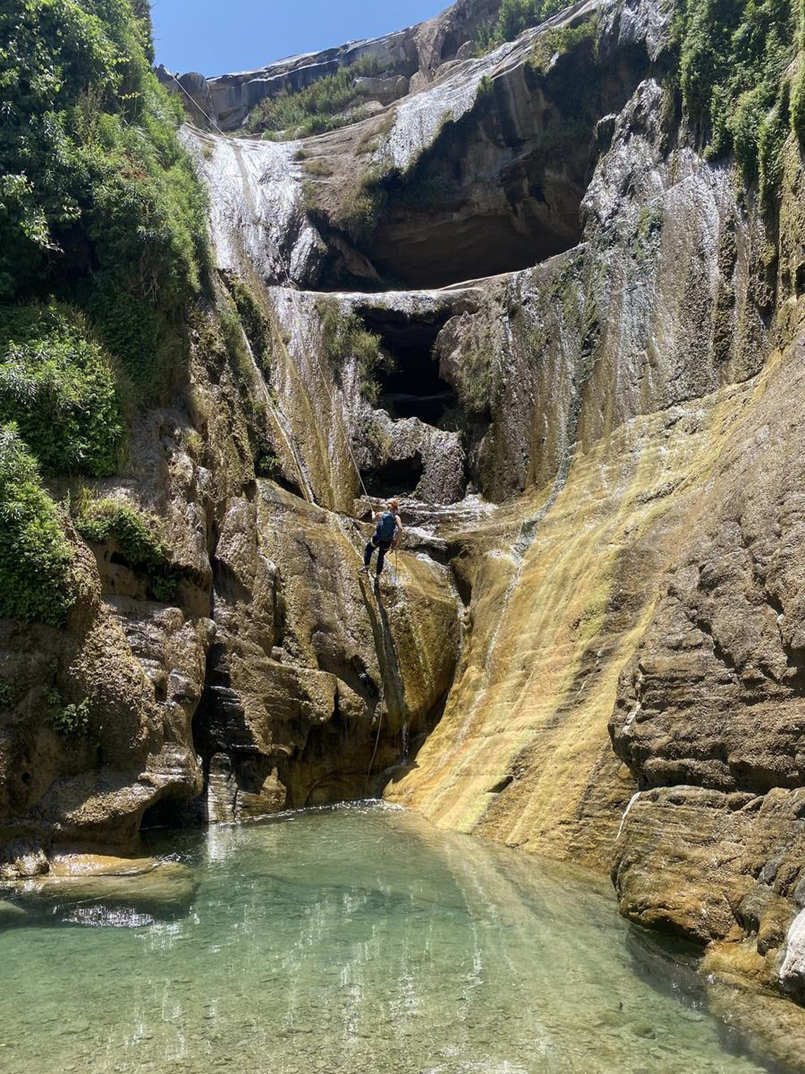
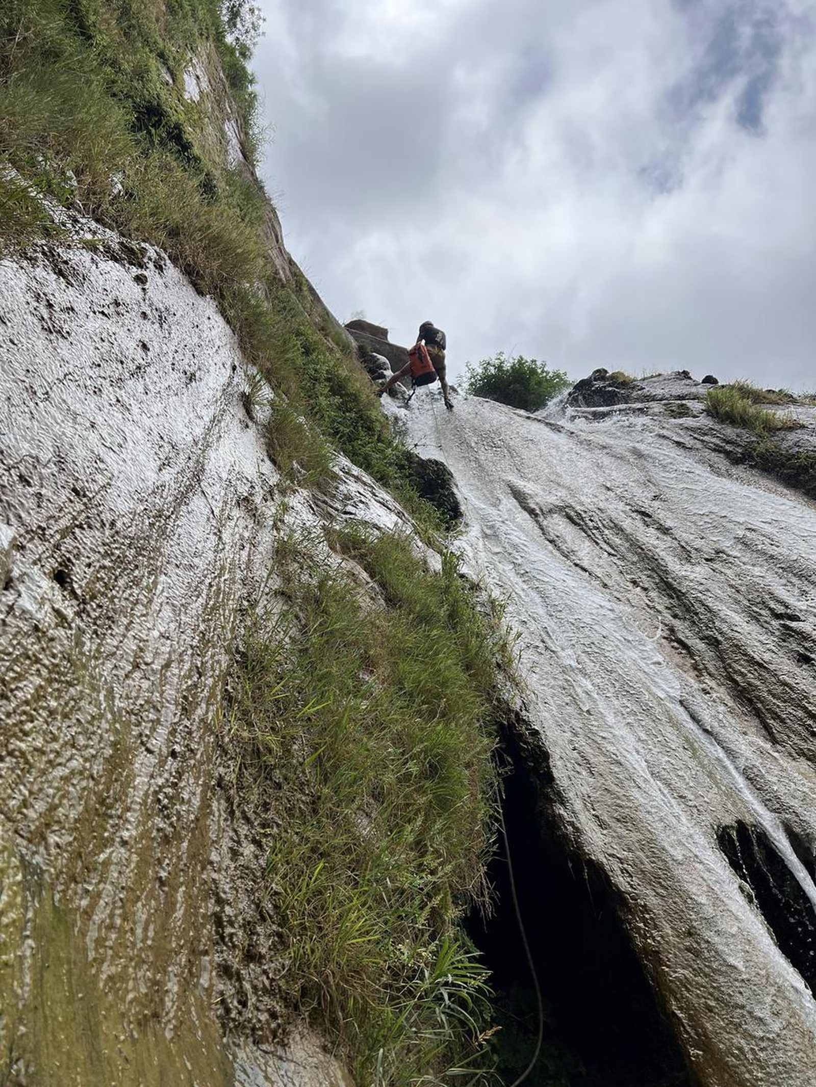
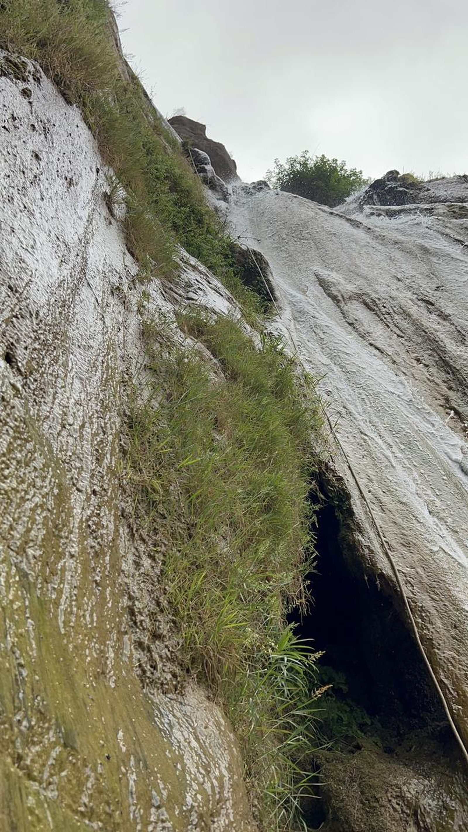
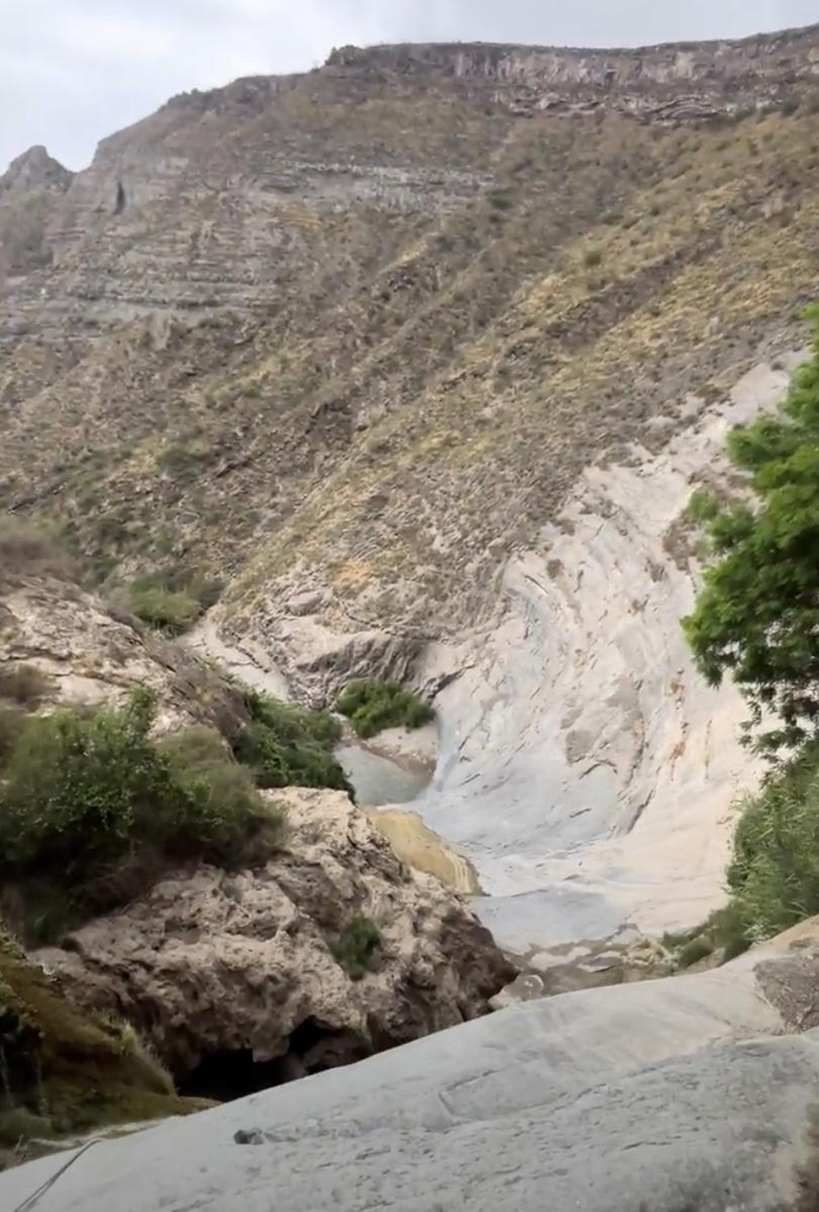
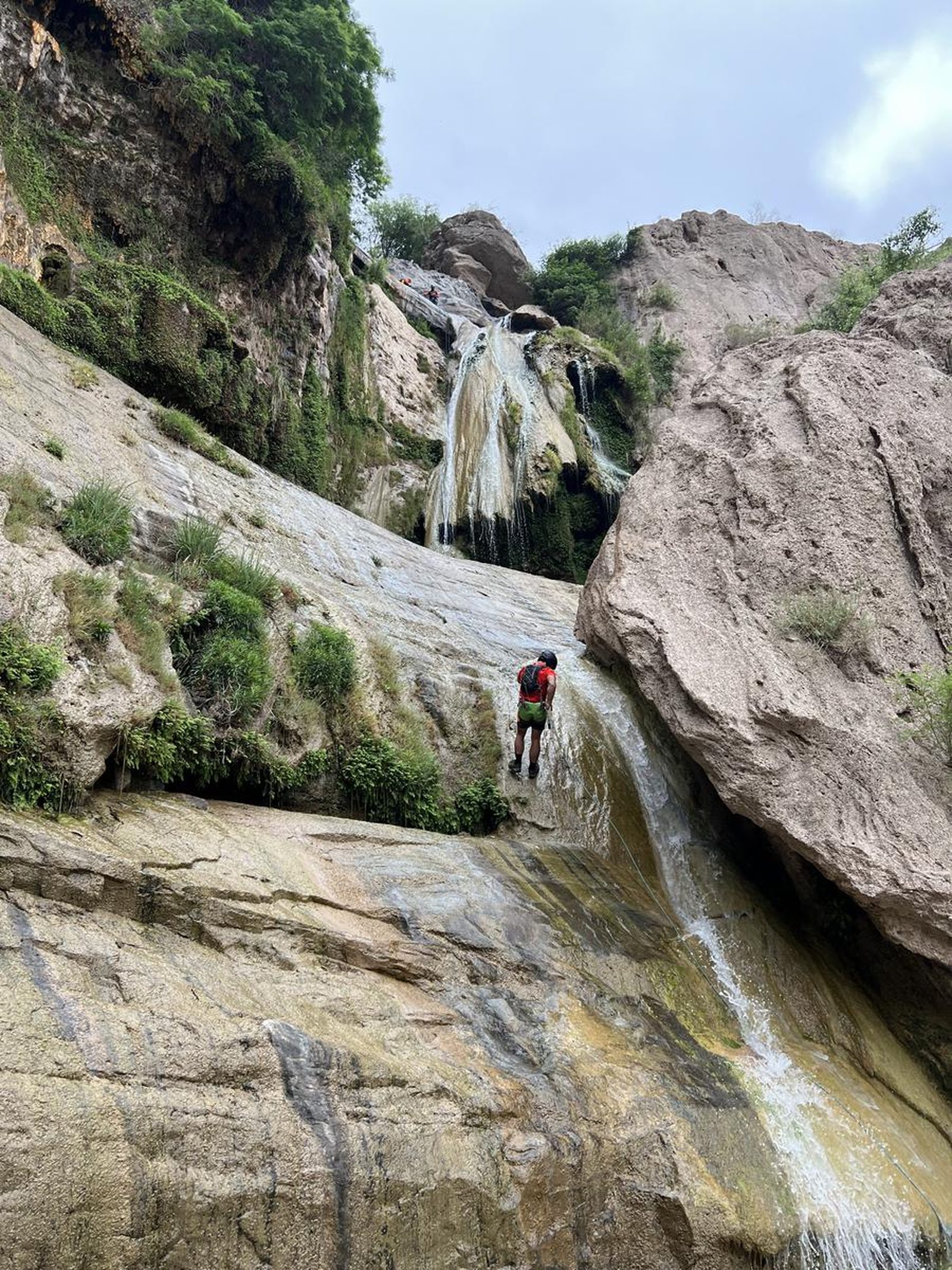
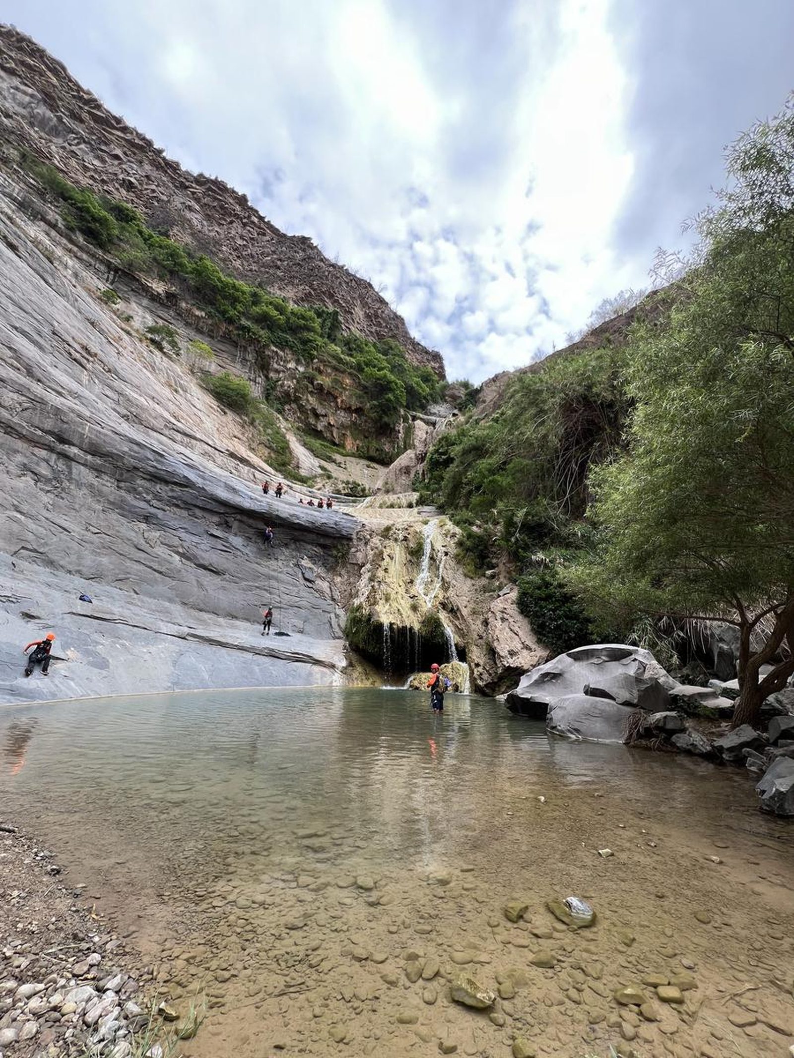
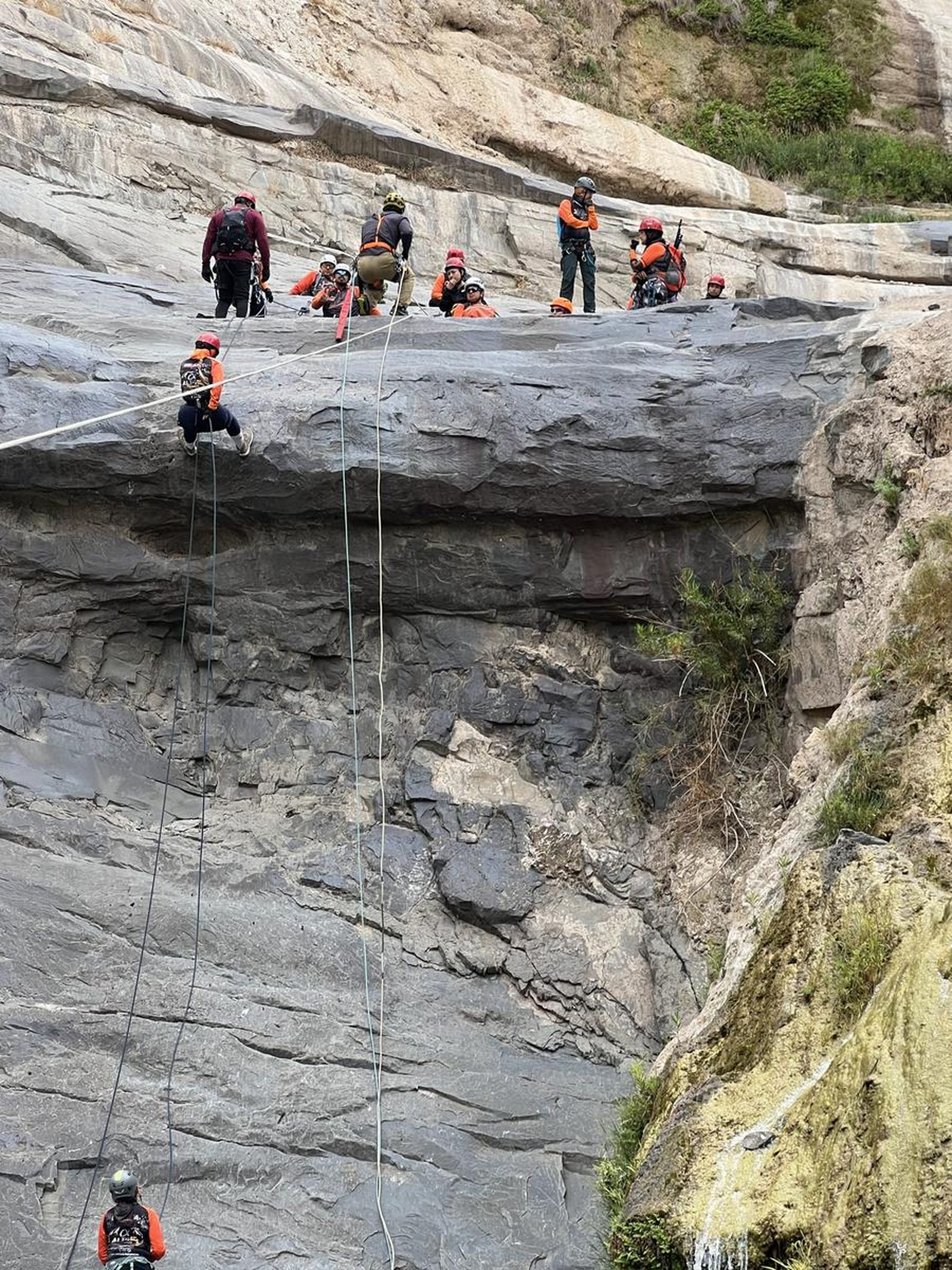
Cañón El Chiflón, Saltillo
Área Natural Protegida Zapalinamé
- Elevation gain
- 587 ft
- Distance
- 4.5 mi
- Time
- 1 h 54 m
- Altitude
- 4980 ft
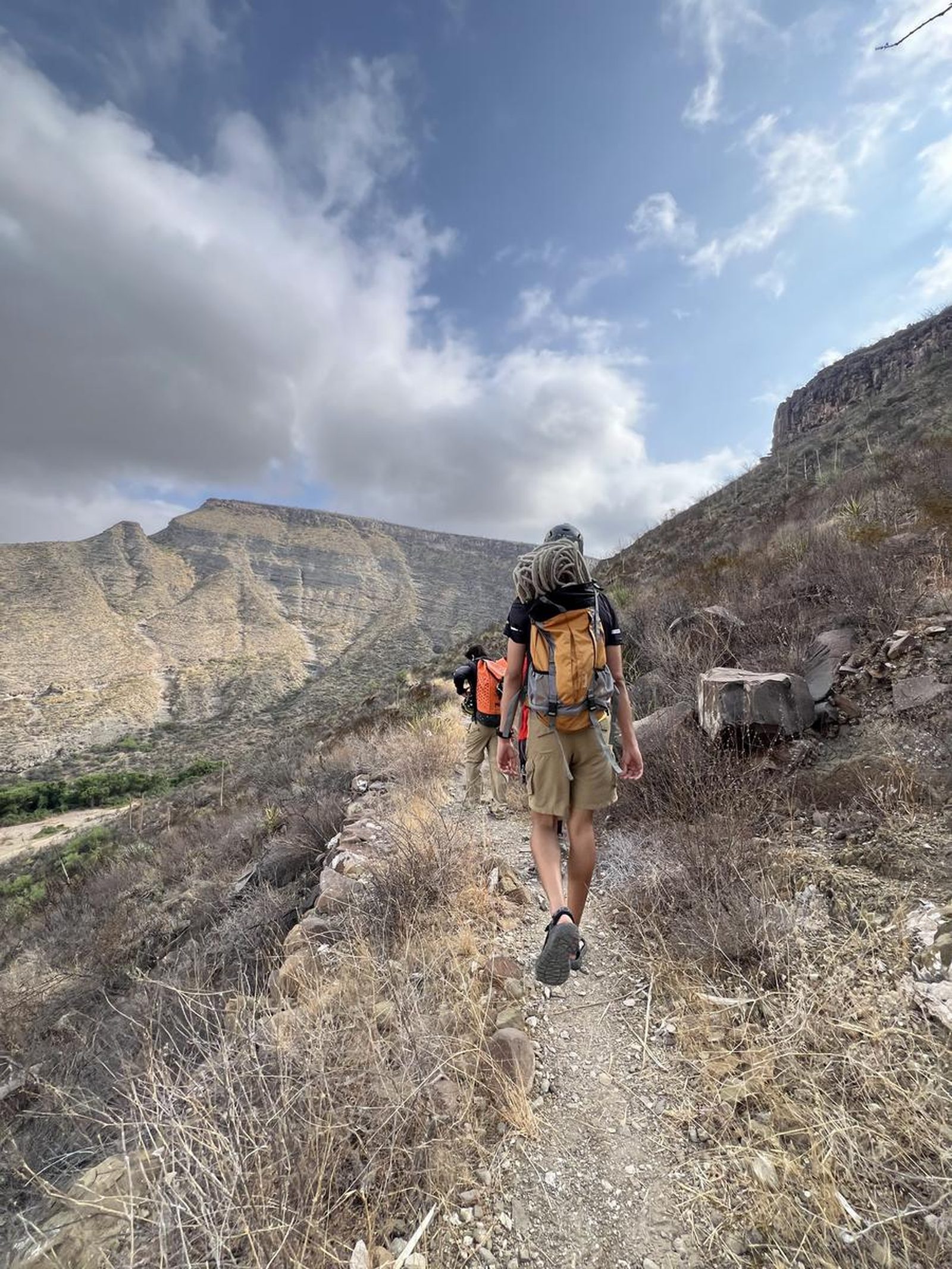
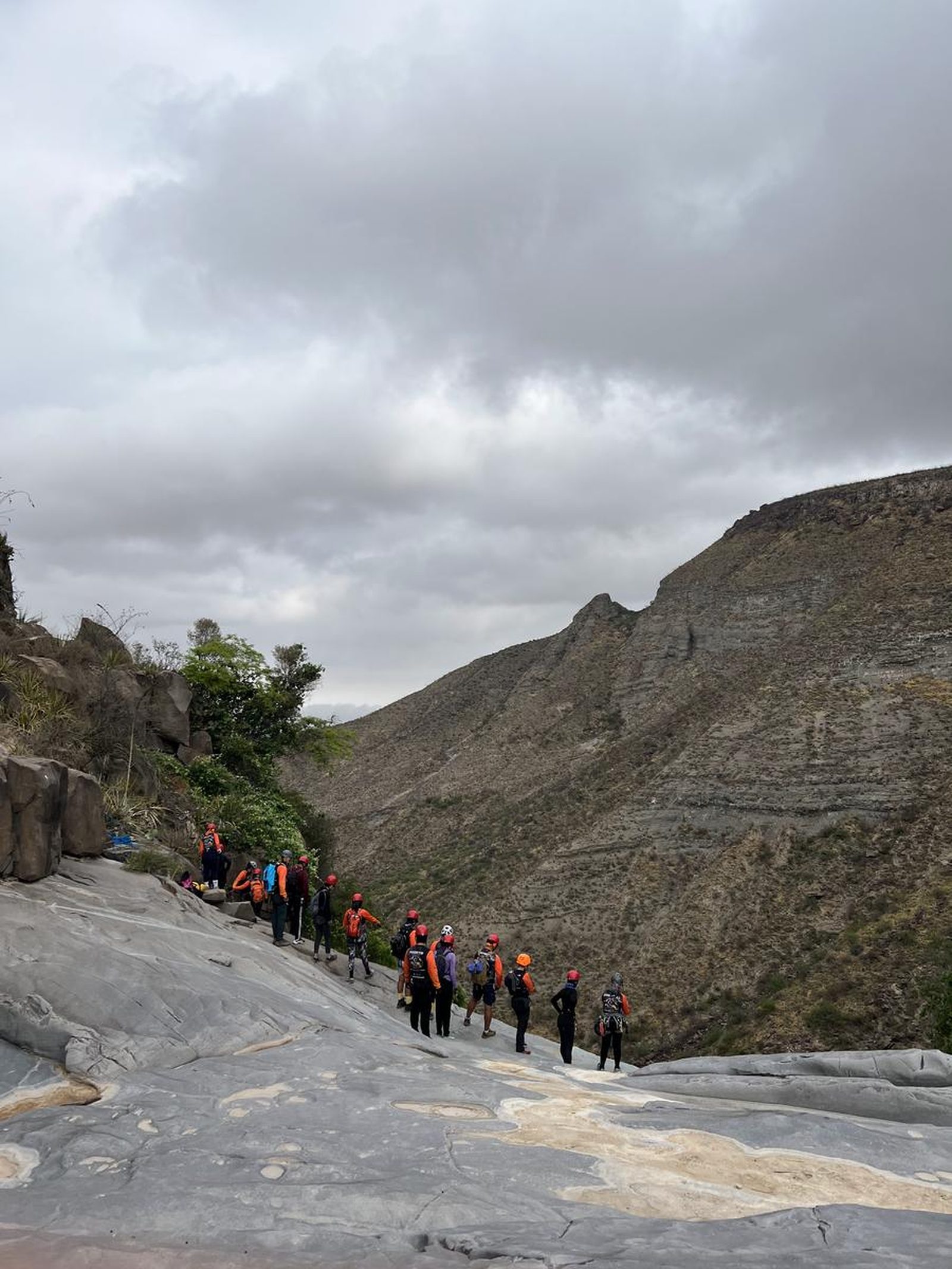
You are in the mountain system located on the outskirts of Saltillo, right on the border with General Cepeda.
📢 Alerts & Updates
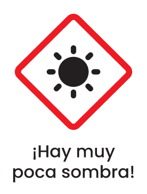
We recommend taking this tour in summer, preferably in seasons where rain is scarce since there are several ranch dams upstream of the canyon, which when they fill up are opened to feed the river and often form dangerous floods that can compromise the safety of visitors.
Warnings
Level
i
Packing List
How to get there
Trailhead Access
To get to the beginning of the route from Monterrey, take the road to Saltillo, once in the city, drive through the Luis Echeverría Álvarez Peripheral to the Torreón road (the same road that leads to Parras), pass 2 collection booths and arrive at a town called “Plan de Ayala” where the route begins. This stretch takes about 45 minutes from Saltillo.
Parking Information
In the Plan de Ayala ejido, there is a parking lot in the middle of the town with a large capacity where you can park your vehicle.
Fees & Park Hours
As of May 2025, there is no cost to complete this route. However, there are up to 2 grocery stores and a house where they prepare homemade meals right at the beginning of the route where you can refuel or enjoy a meal at the end of your adventure.
Trail Overview
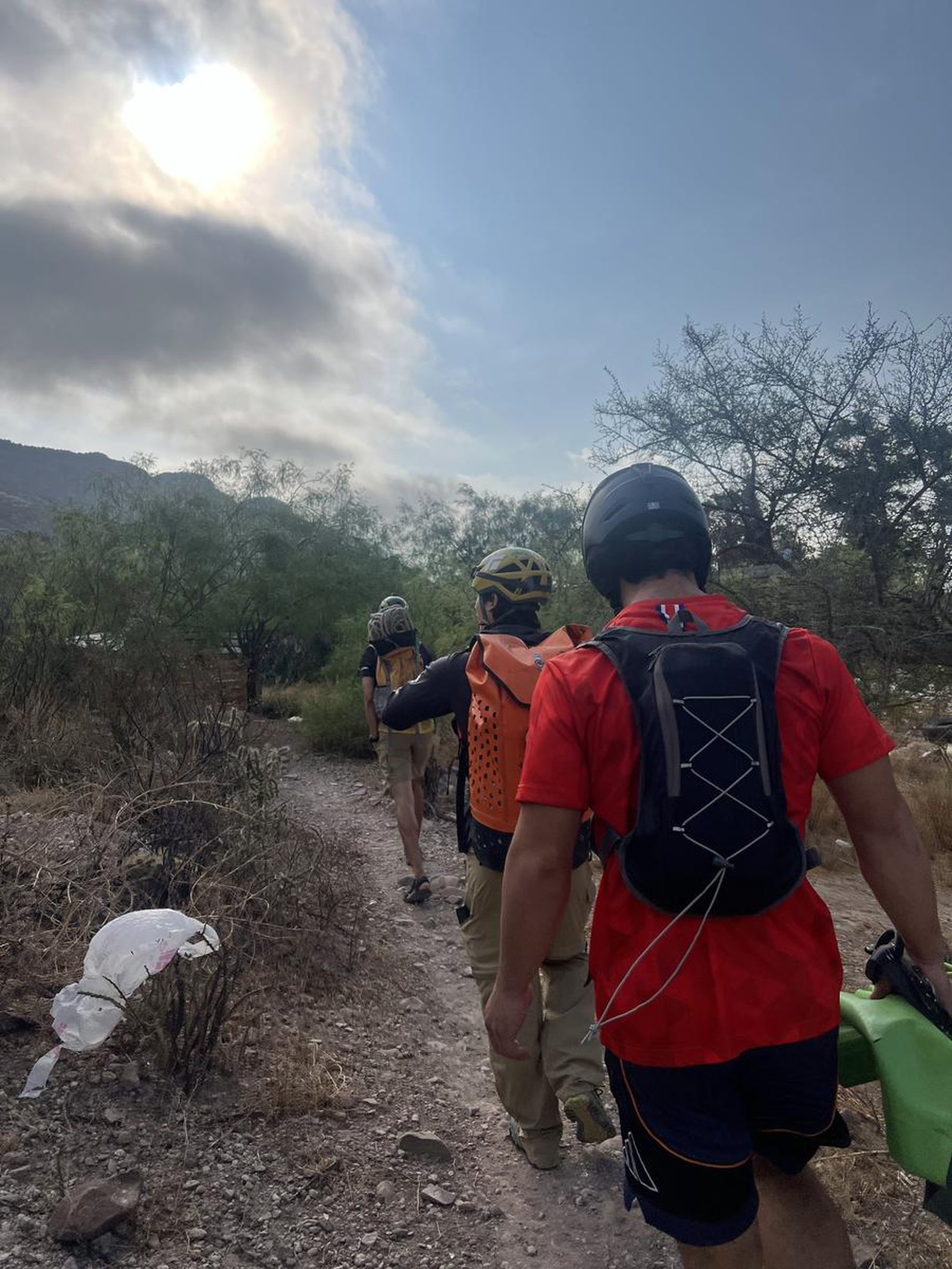
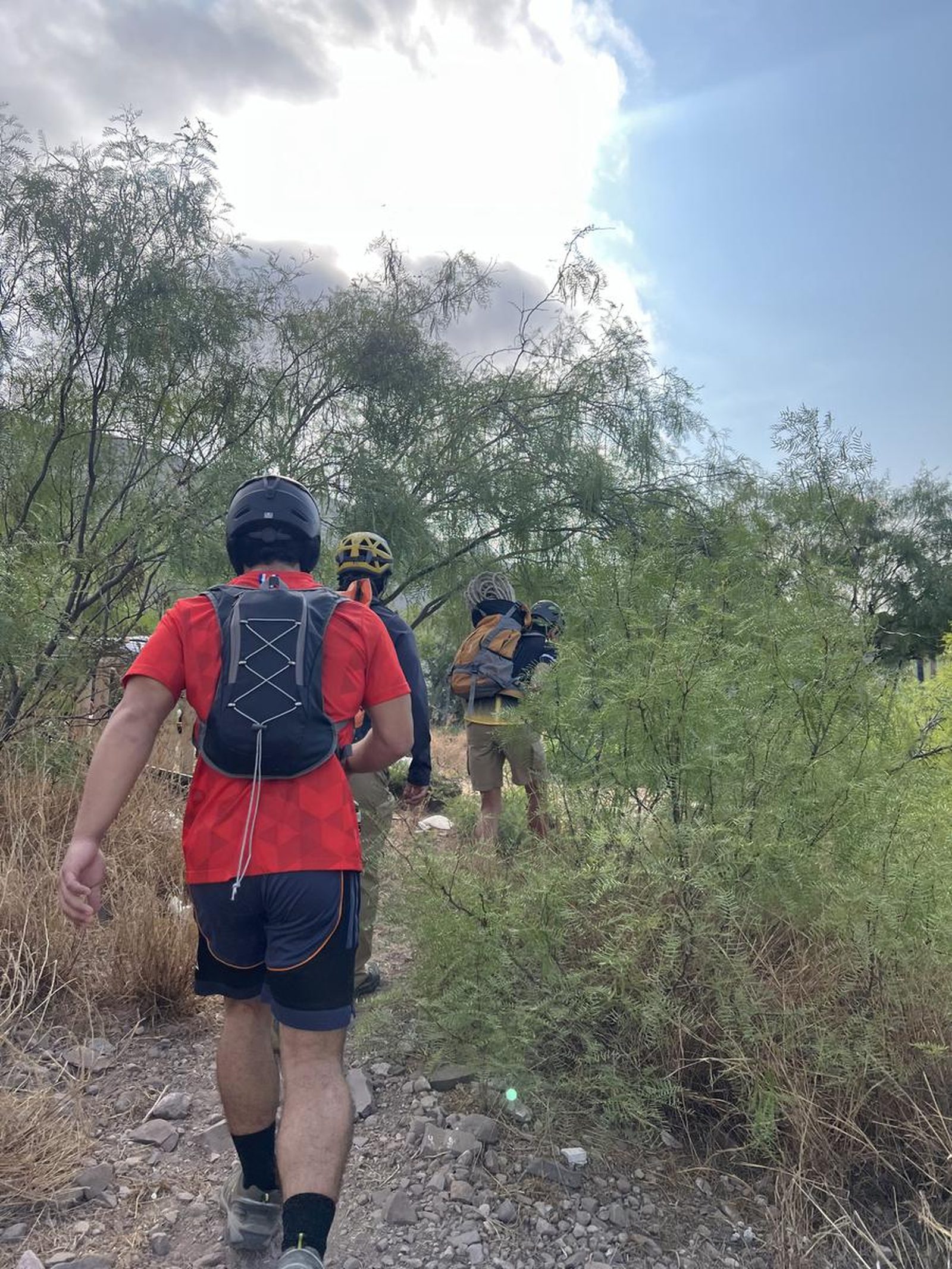
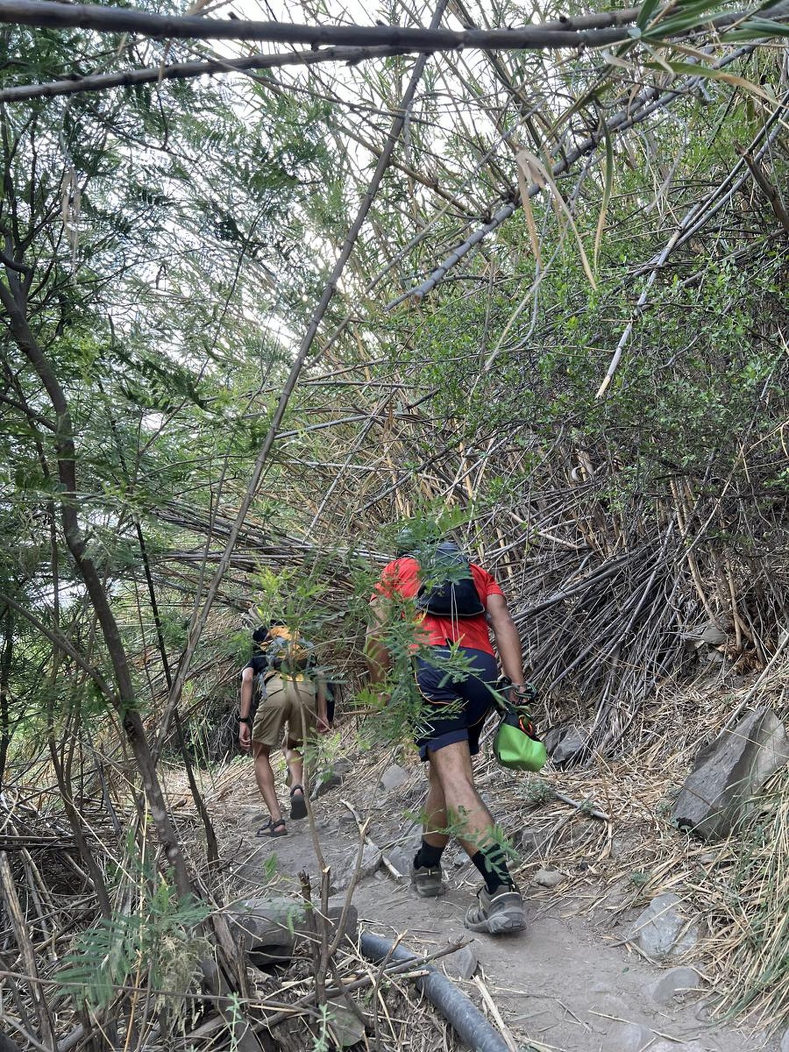
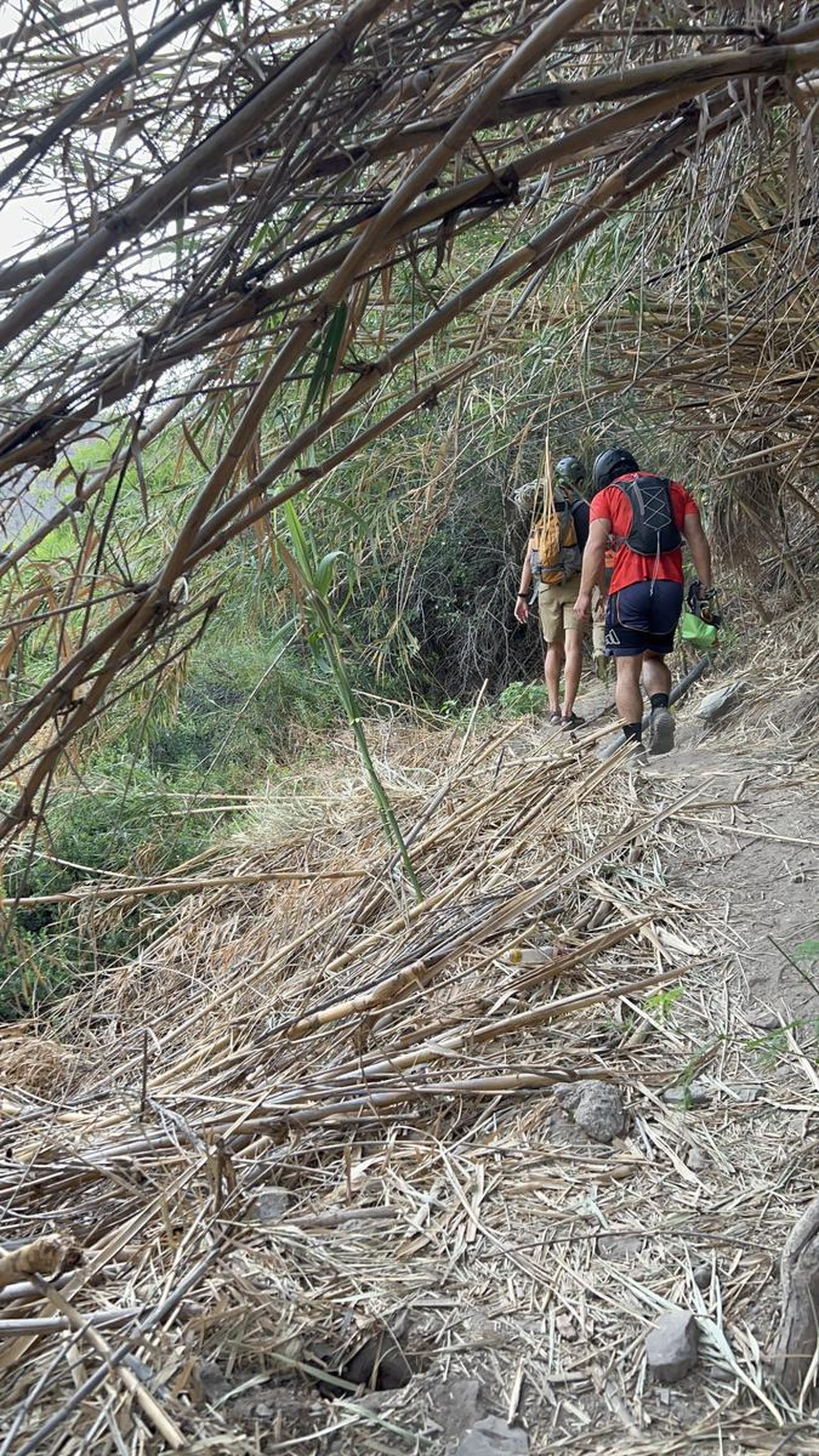
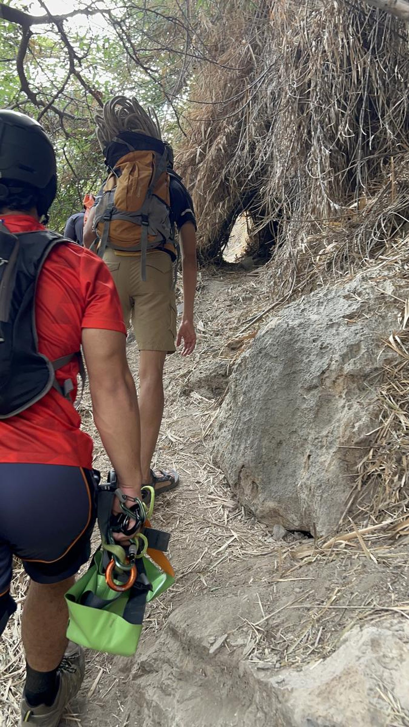
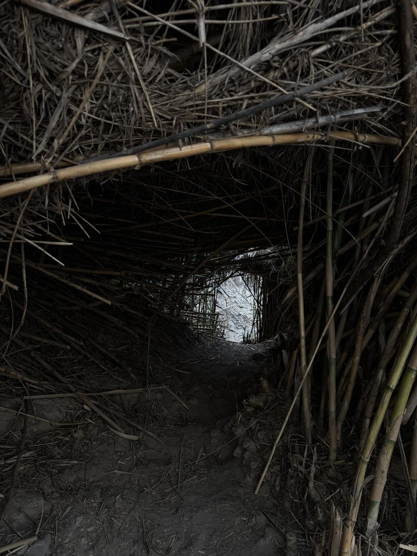
The route can be confusing at first, as there are multiple paths that seem to have been marked by animals or by different hikers. Therefore, we recommend that you use GPS during this first section to avoid deviations. Once inside the canyon, the path becomes more intuitive, since it is only necessary to follow the course of the river. However, it is important to keep an eye out at the end of the route, since the outflow of the river is not obvious and can go unnoticed since it passes through a kind of hole along some bamboos, the locals call these sections “Vietnam” because of their resemblance in vegetation.
Recommended Gear
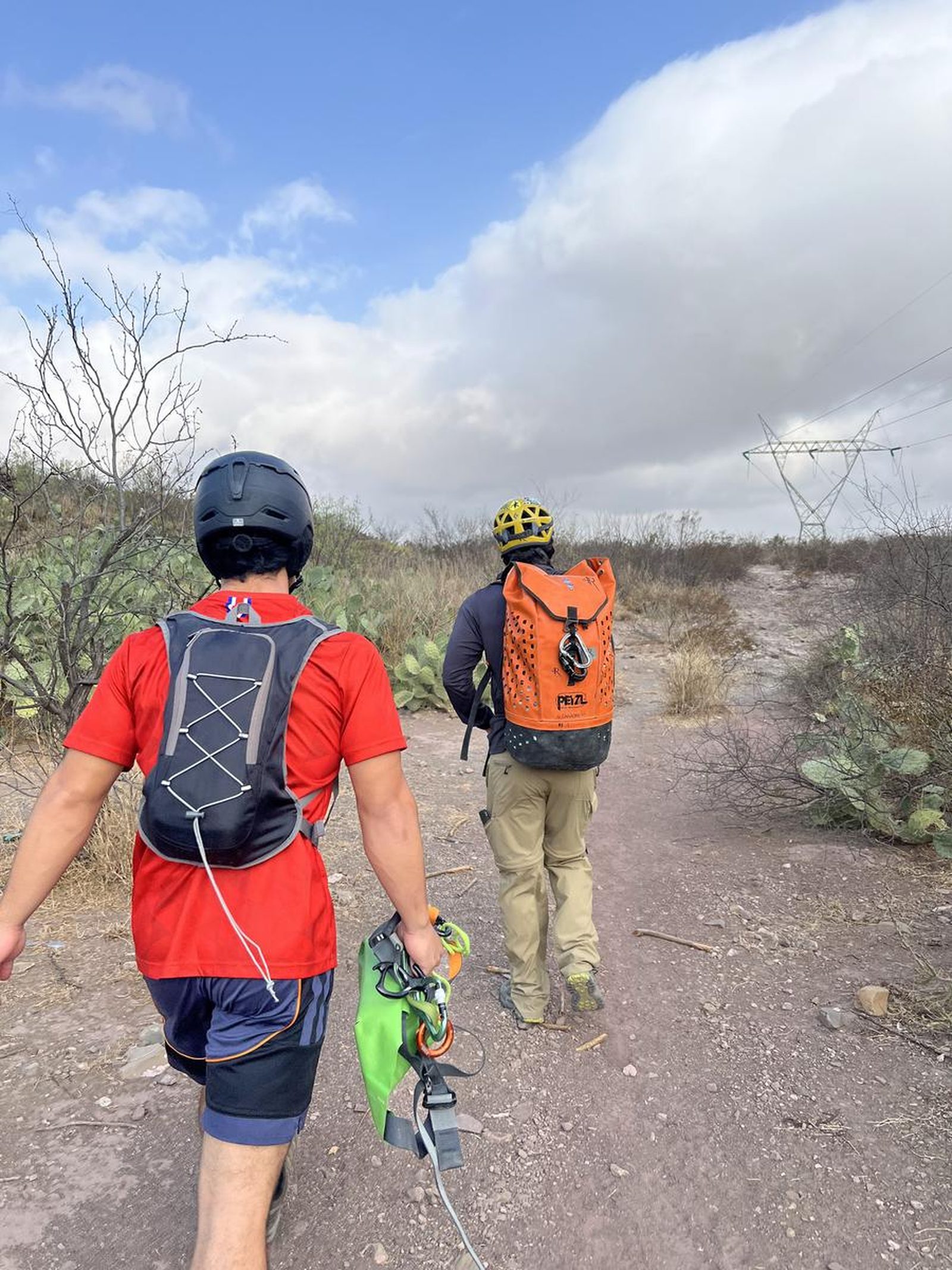
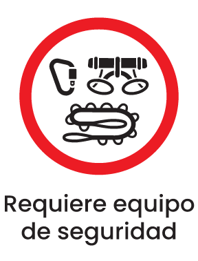
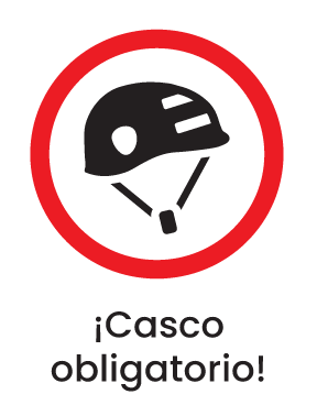
- Helmet - Whistle - Dry bottle or dry bag - Rappelling gloves (optional) - Neoprene (optional) - Hands-free lamp with submersible capacity (mining type) - Sunscreen - First aid kit - Harness - Lifeline - Descender and carabiners - Express bands - Rope 100 m - 60 m rope
What to Expect on the Trail
i
Elevation Gain
179 m
Total Distance (Out & back)
7.26 km
Total Time
1 h 54 m
Max Elevation
1518 m a.s.l.
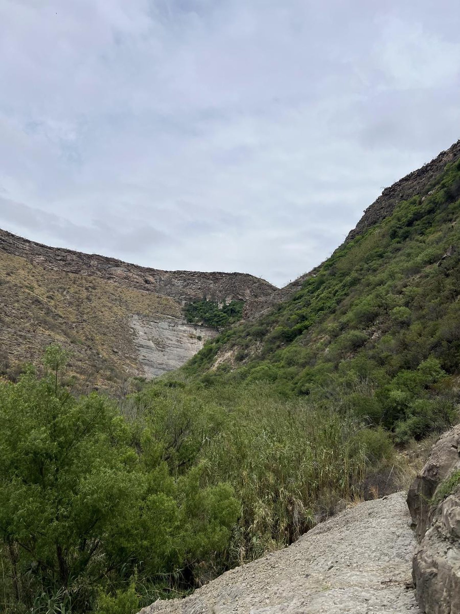
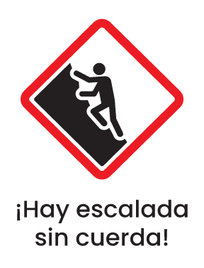
According to our nomenclature, this route has a grade 1 physical difficulty. This means that the slope is less than 200 meters and that approximately 45 minutes of walking are required to reach the first rappell. The total distance covered is 5.6 kilometers. The only significant challenge on the trail when climbing is to cross the arid vegetation characteristic of the area and to know how to choose the right path so as not to take an animal path.