
Cerro de la Ballena
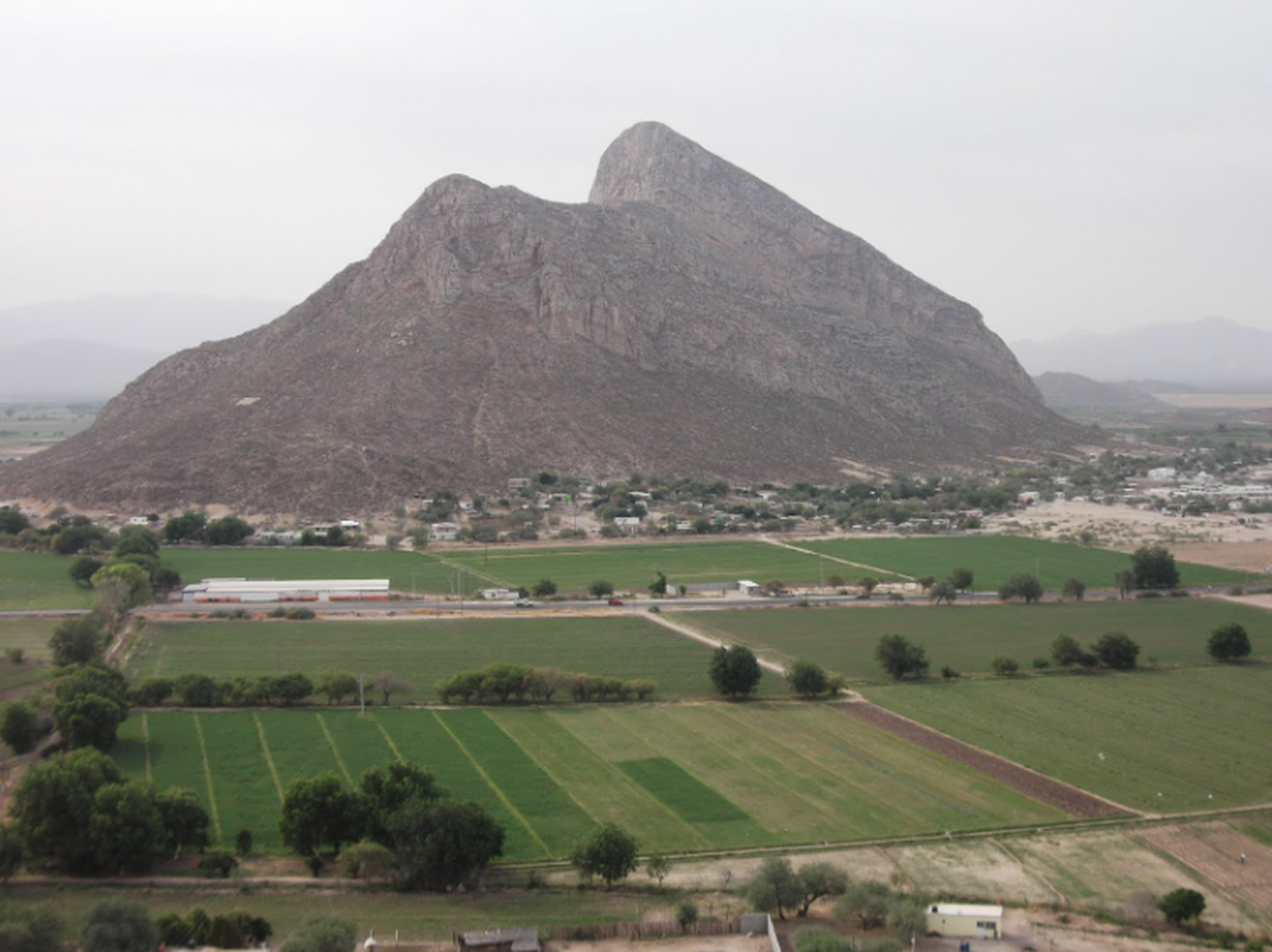
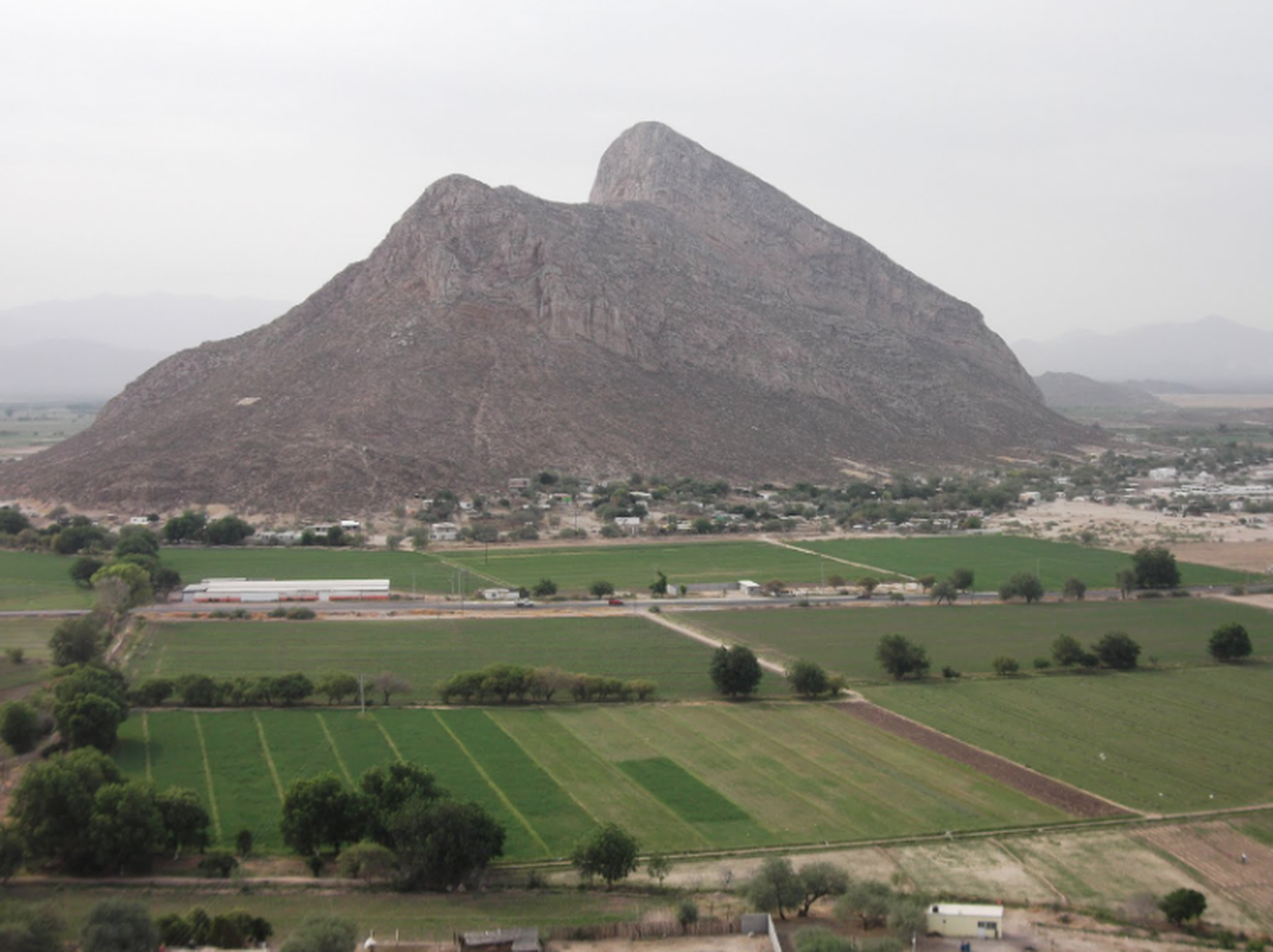
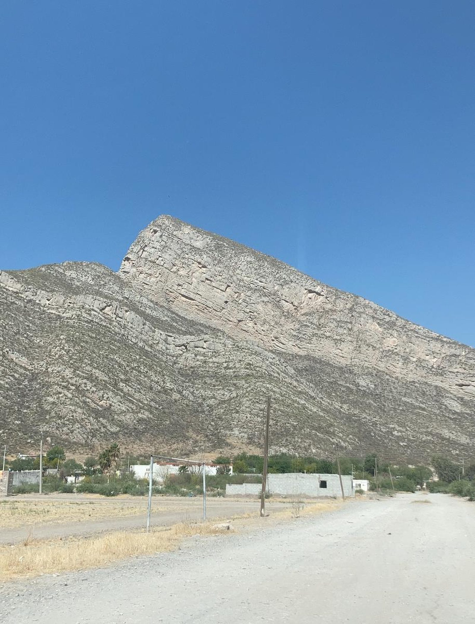
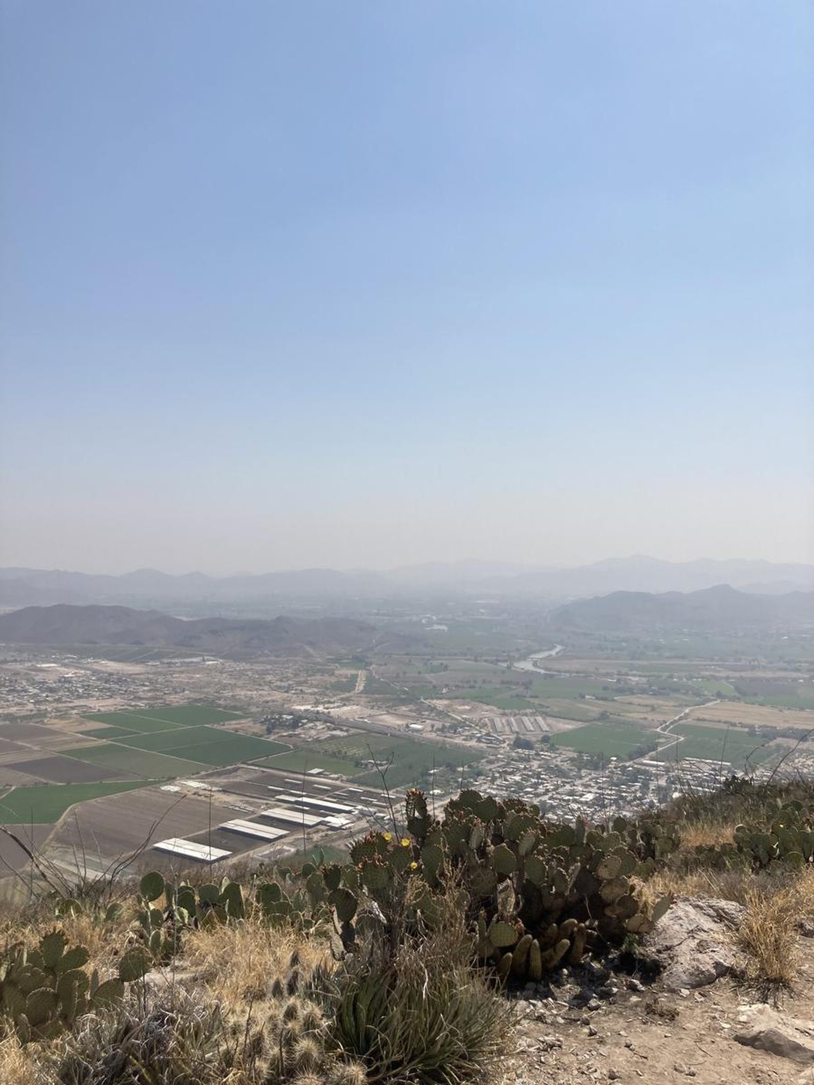
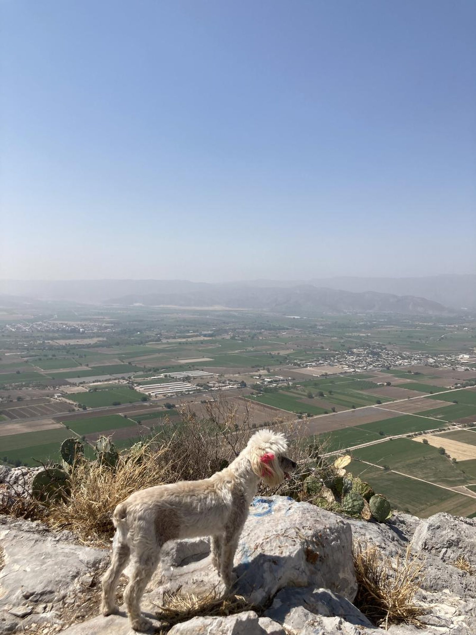
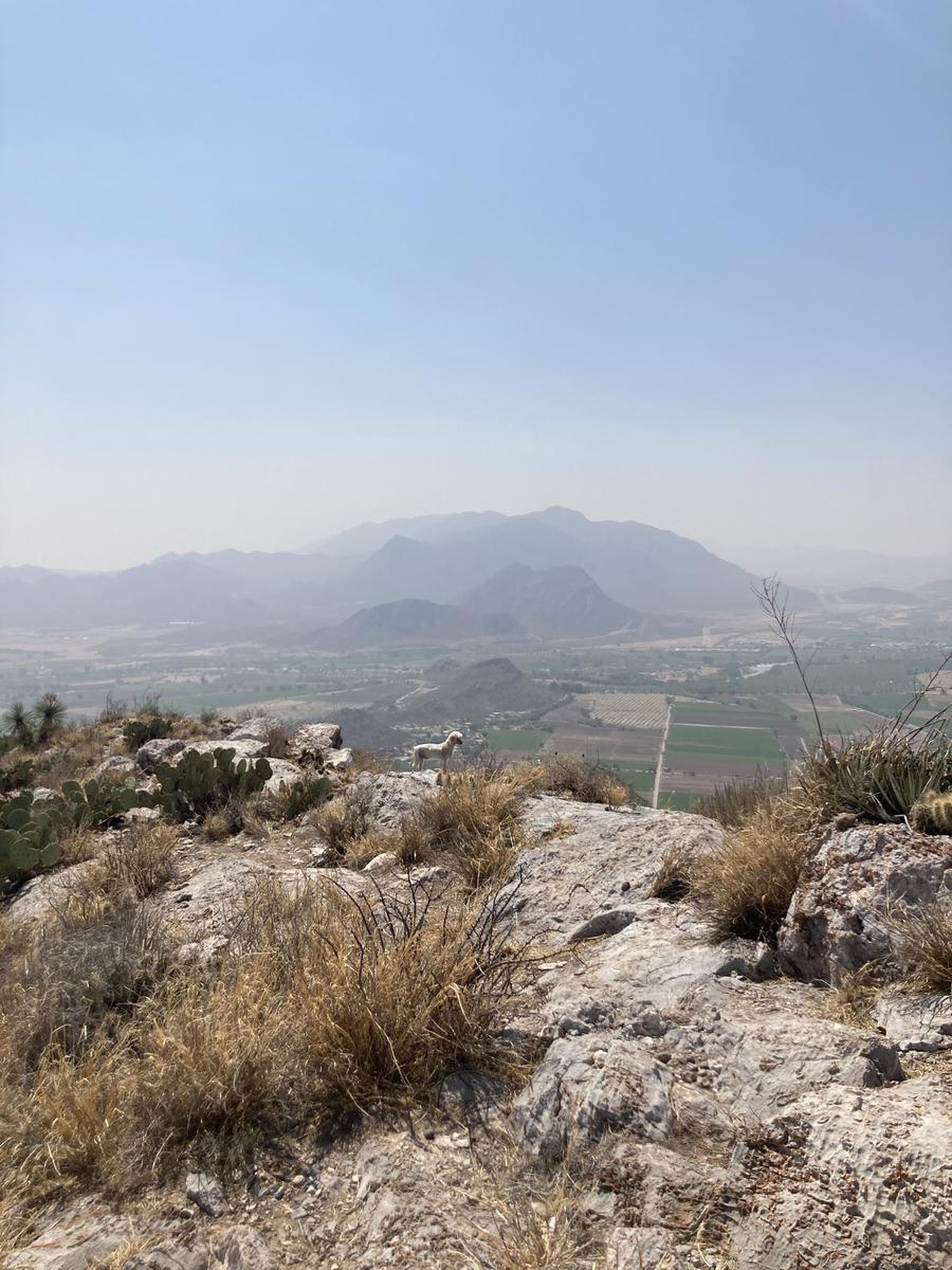
Cerro de la Ballena
Ejido León Guzmán, Comarca Lagunera, Lerdo
260 m
2 km
1 h
1472 msnm
Cerro de la Ballena. 2 km and 260 m of positive elevation gain in Lerdo, Durango. Grade 2A-III trail by La Cumbre Cotidiana.
📢 Alerts & Updates
This route can be done comfortably in any season of the year. Only avoid in seasons of extreme heat.
Warnings


Level
i
Packing List
How to get there
Trailhead Access
Departing from Torreón, drive along the road to Durango until you reach Ejido León Guzmán. Once in the town, drive towards Cerro de la Ballena, which will be to the west of the town, precisely along Plutarco Elias Calles street, surrounding the mountain until you arrive in front of the poultry farm, where the beginning of the route will be marked.
Parking Information
You can park vehicles at the beginning of the route next to the dirt road, without obstructing the passage.
Fees & Park Hours
September 2026: Completing this route does not involve additional costs.
Trail Overview
Good. The route is well marked because it is very popular. There are some route variants near the summit, which can be dangerous. It is recommended to pay attention to Wikiloc to keep it up to date.
Recommended Gear
- Hands free lamp (mining type) - Sunscreen

Elevation Gain
260 m
Total Distance (Out & back)
2 km
Total Time
1 h
Max Elevation
1472 msnm
Route level 2 (scale from 1 to 10), 260 m are accumulated in 1 kilometer of climb, so it requires good physical condition. It is a route with a very steep slope. In total, 2 km are covered (round trip).