
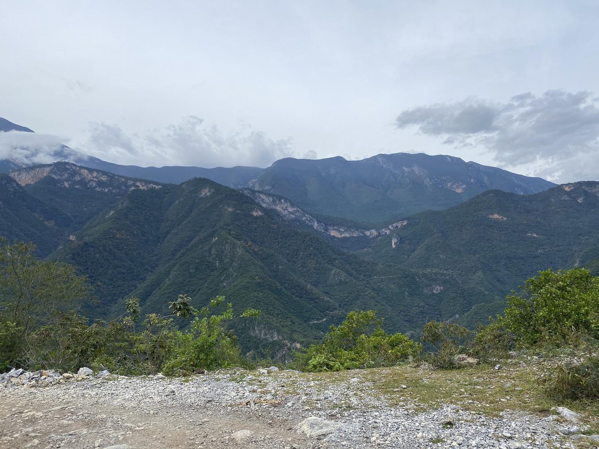
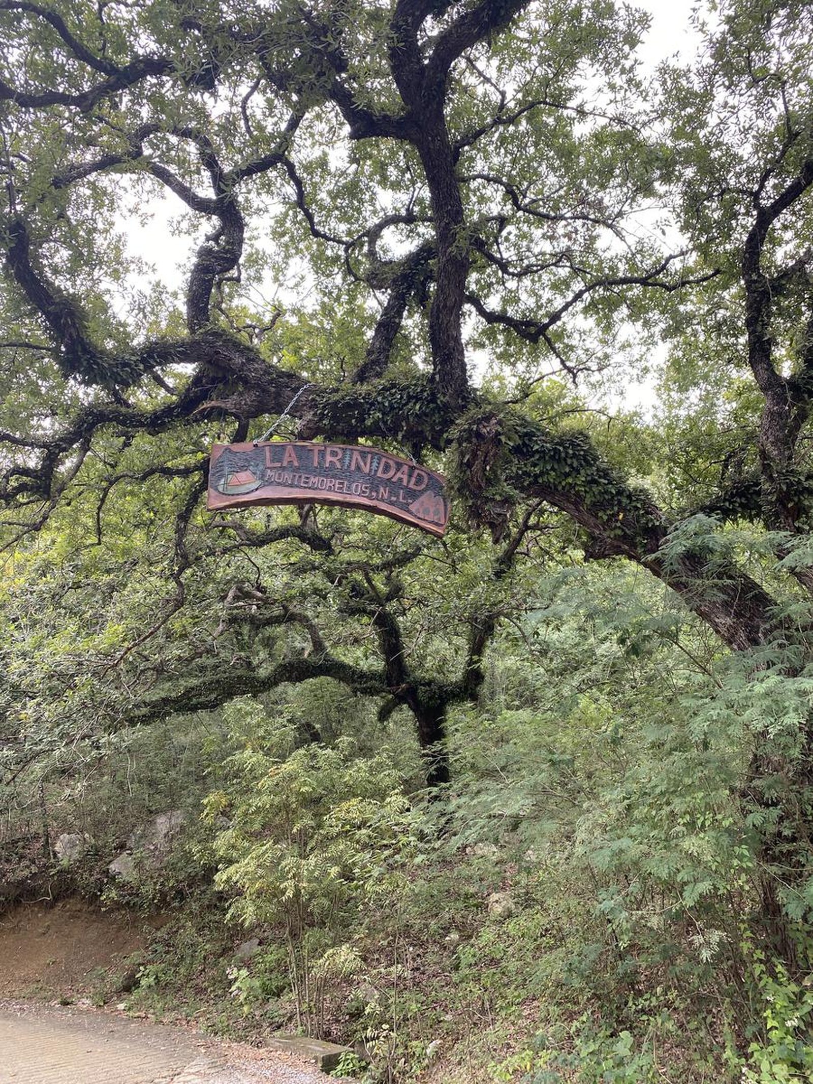
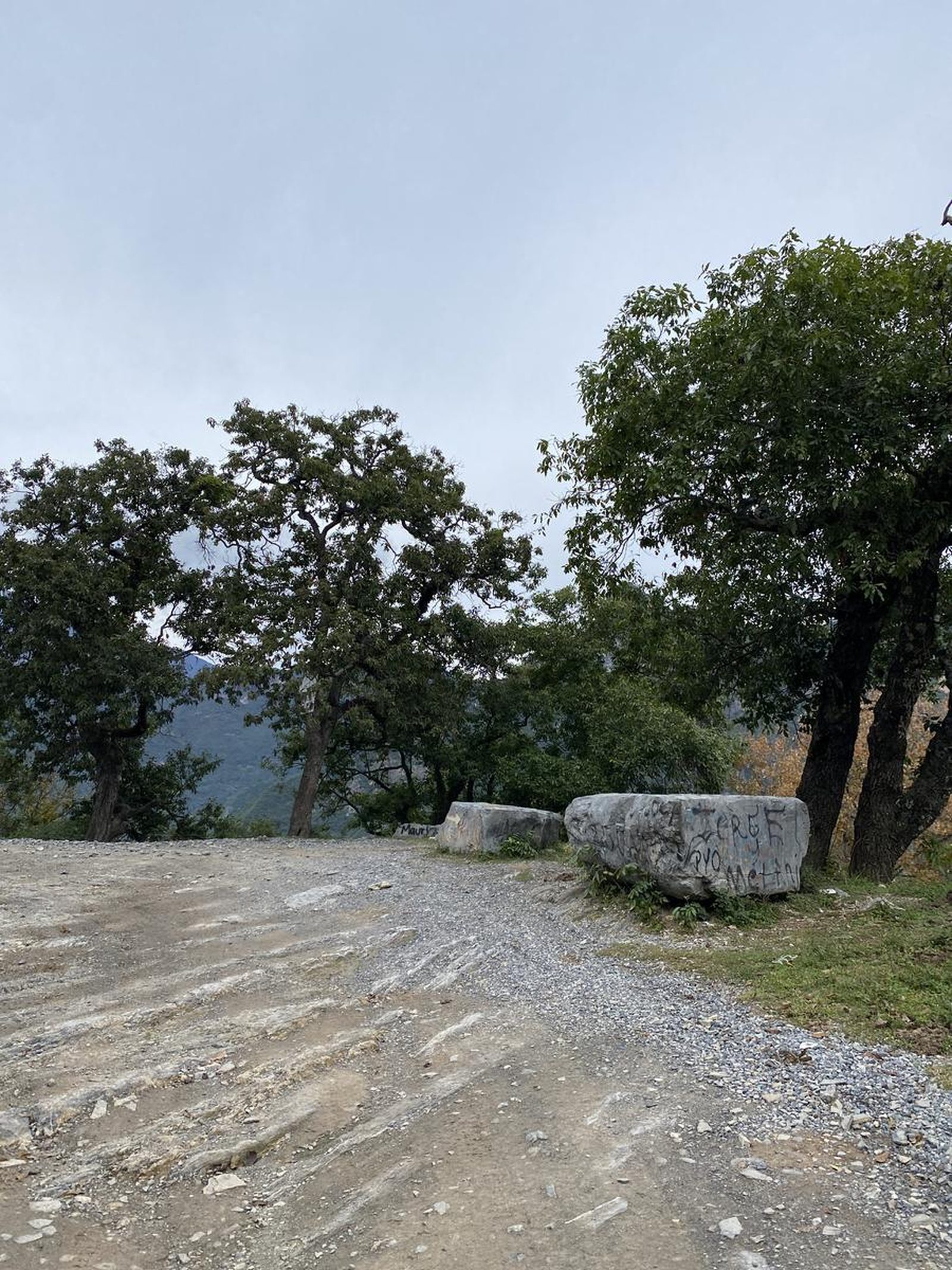
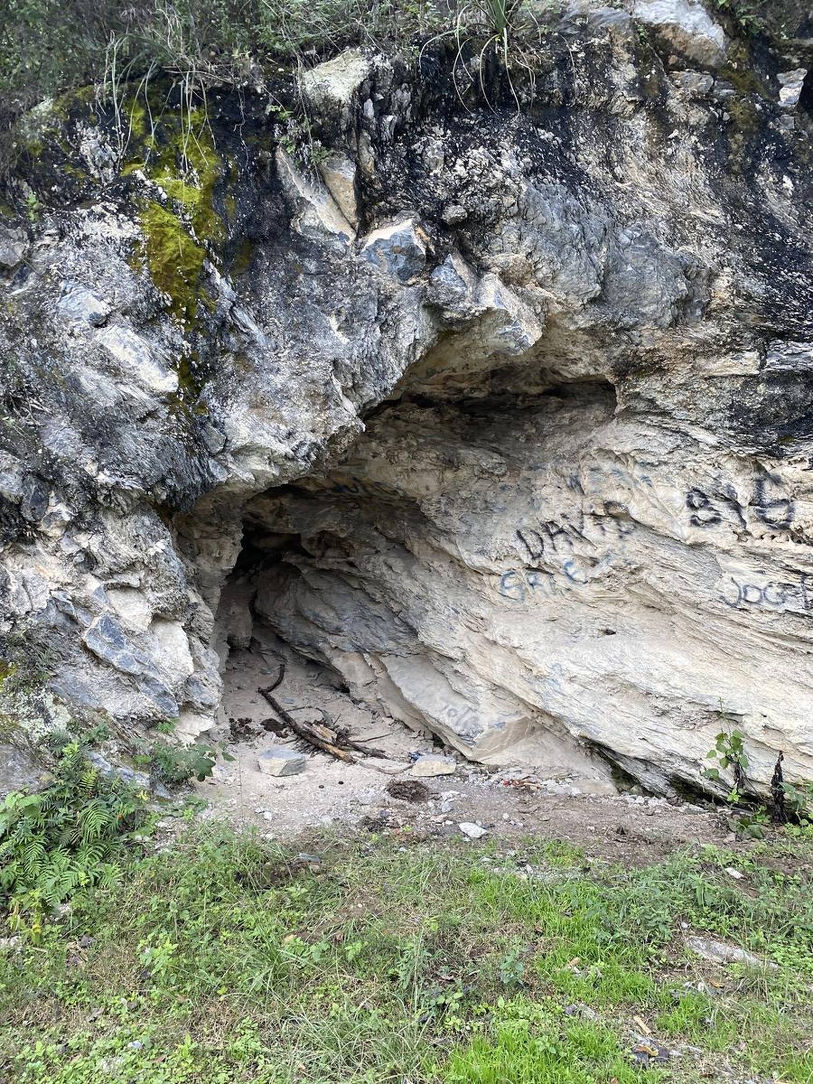
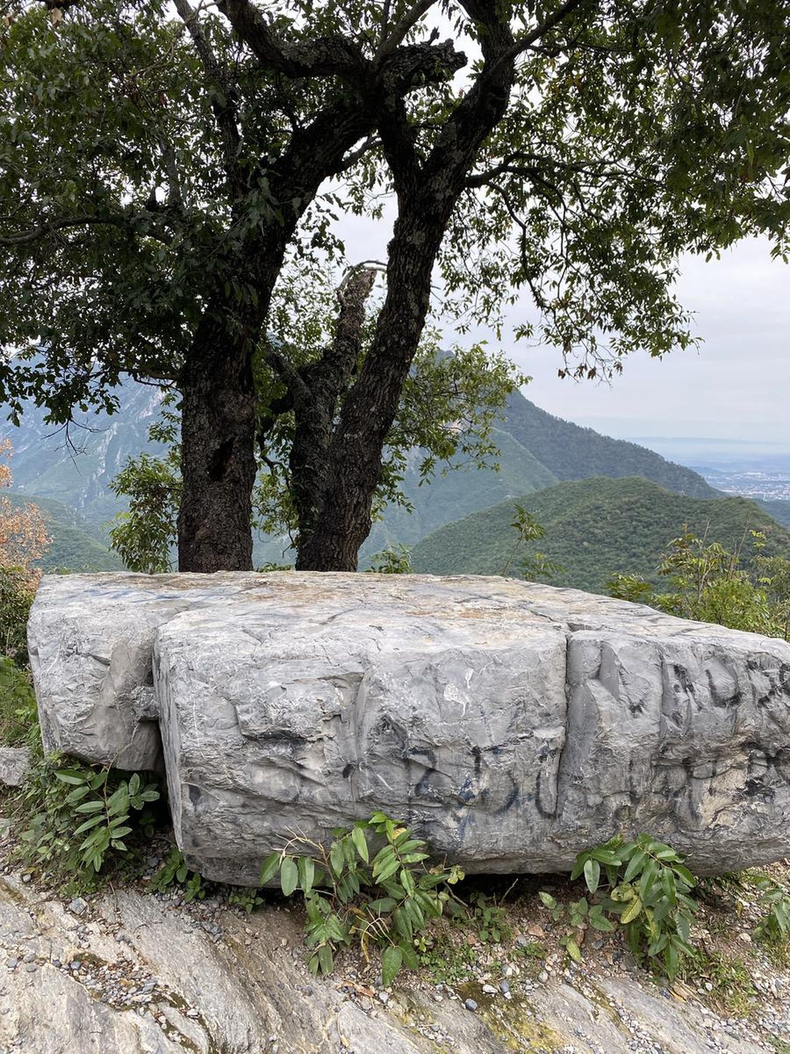
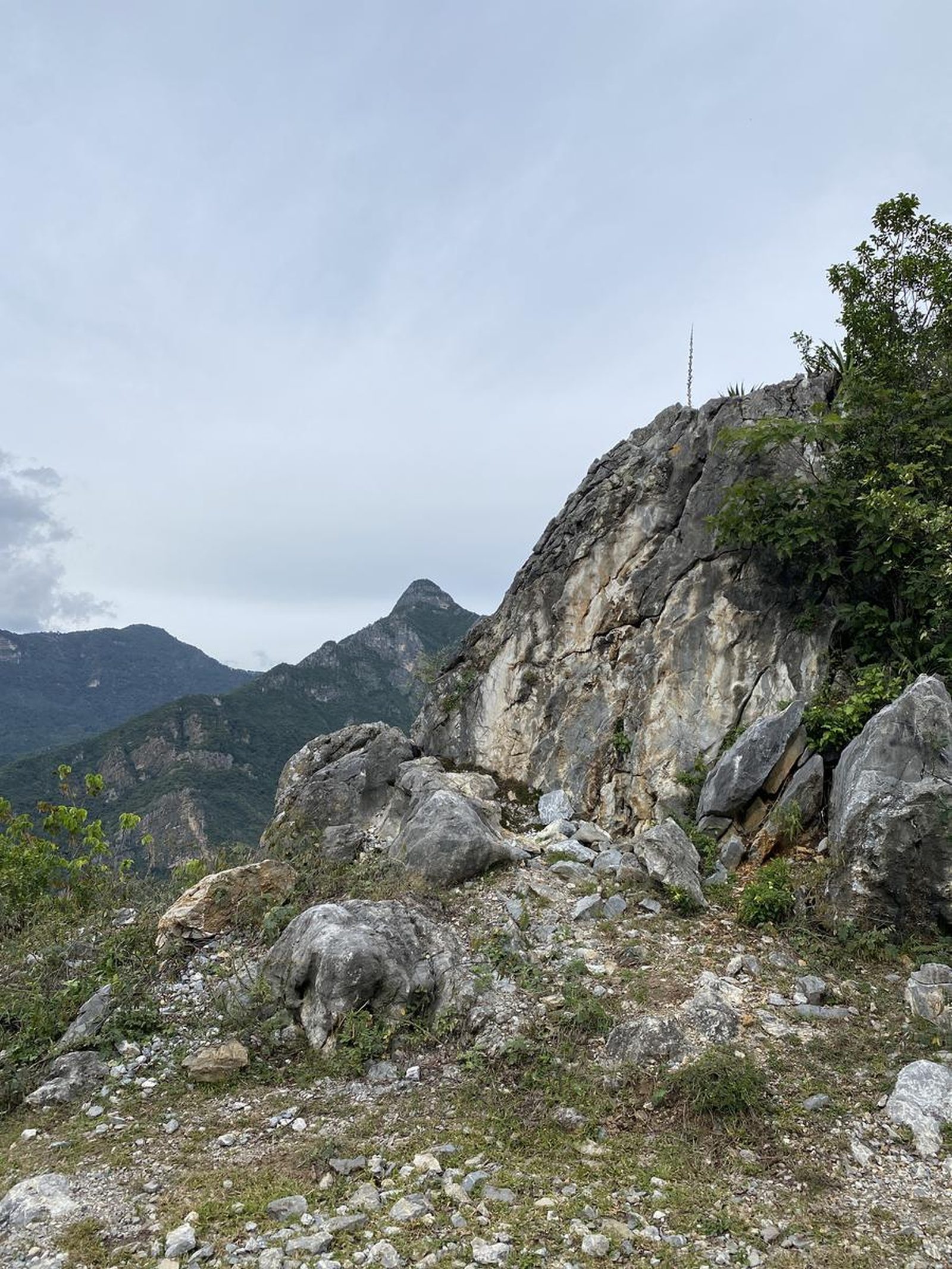
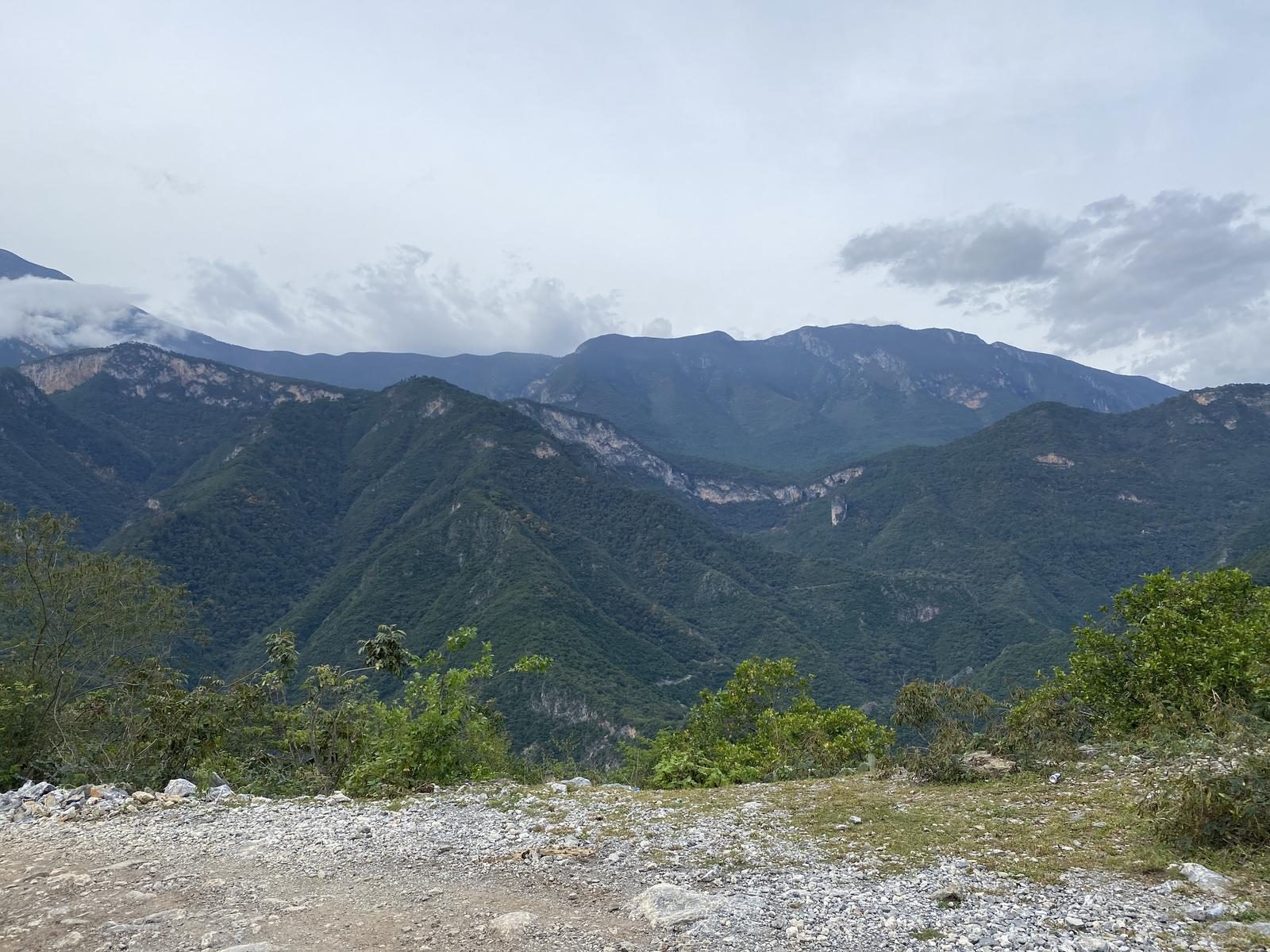
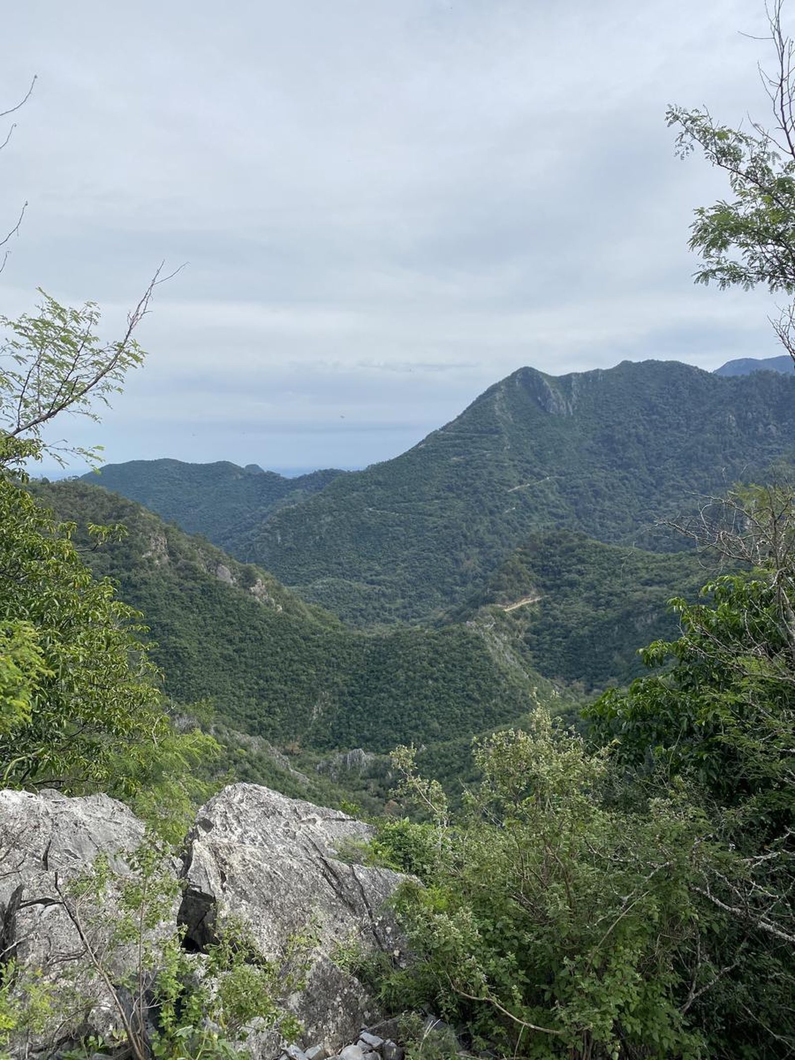
Charco Azul, Montemorelos
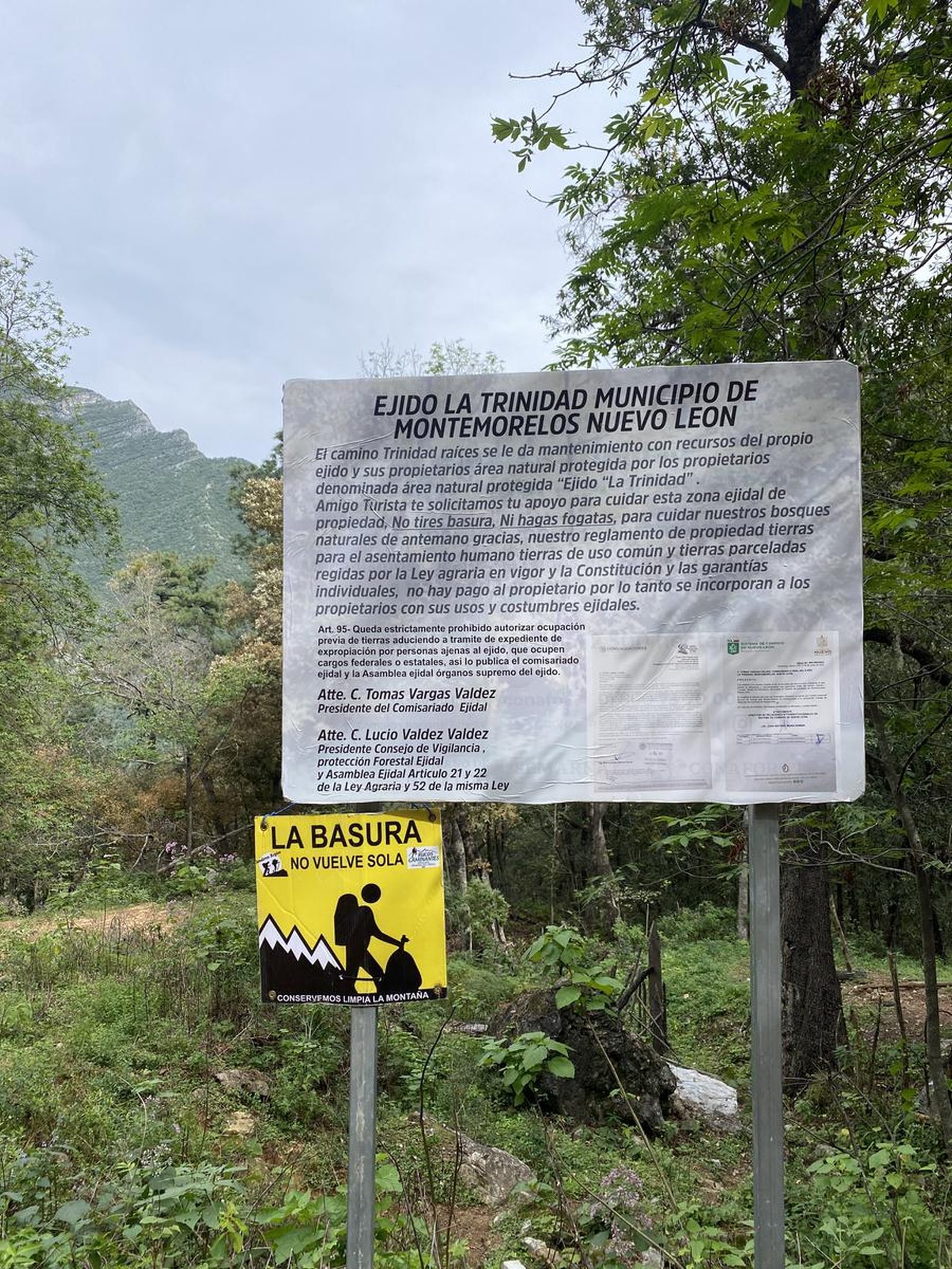
La Trinidad
- Elevation gain
- 4734 ft
- Distance
- 16.8 mi
- Time
- 8 h 24 m
- Altitude
- no data
Charco Azul is one of the perfect places to enjoy the coldest water in all of Nuevo León.
📢 Alerts & Updates
This route can be done in any season, although in summer it can reach 40°C or 100°F.
Warnings
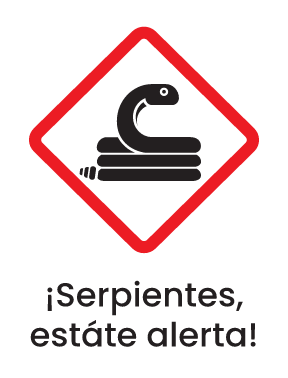

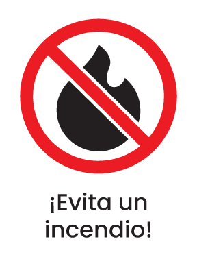
Level
i
Packing List
How to get there
Trailhead Access
There are 2 ways: one is to park in Rio Ramos and start the 26 kilometer round trip hike, or if you have a 4WD you can do it all the way in the vehicle.
Parking Information
You can park just before starting the climb to the mountains on a bank or in the Rio Ramos parking lot. If you drive to the place in a 4x4, you stay on the side without hindering other people who use that road.
Fees & Park Hours
No cost
Trail Overview
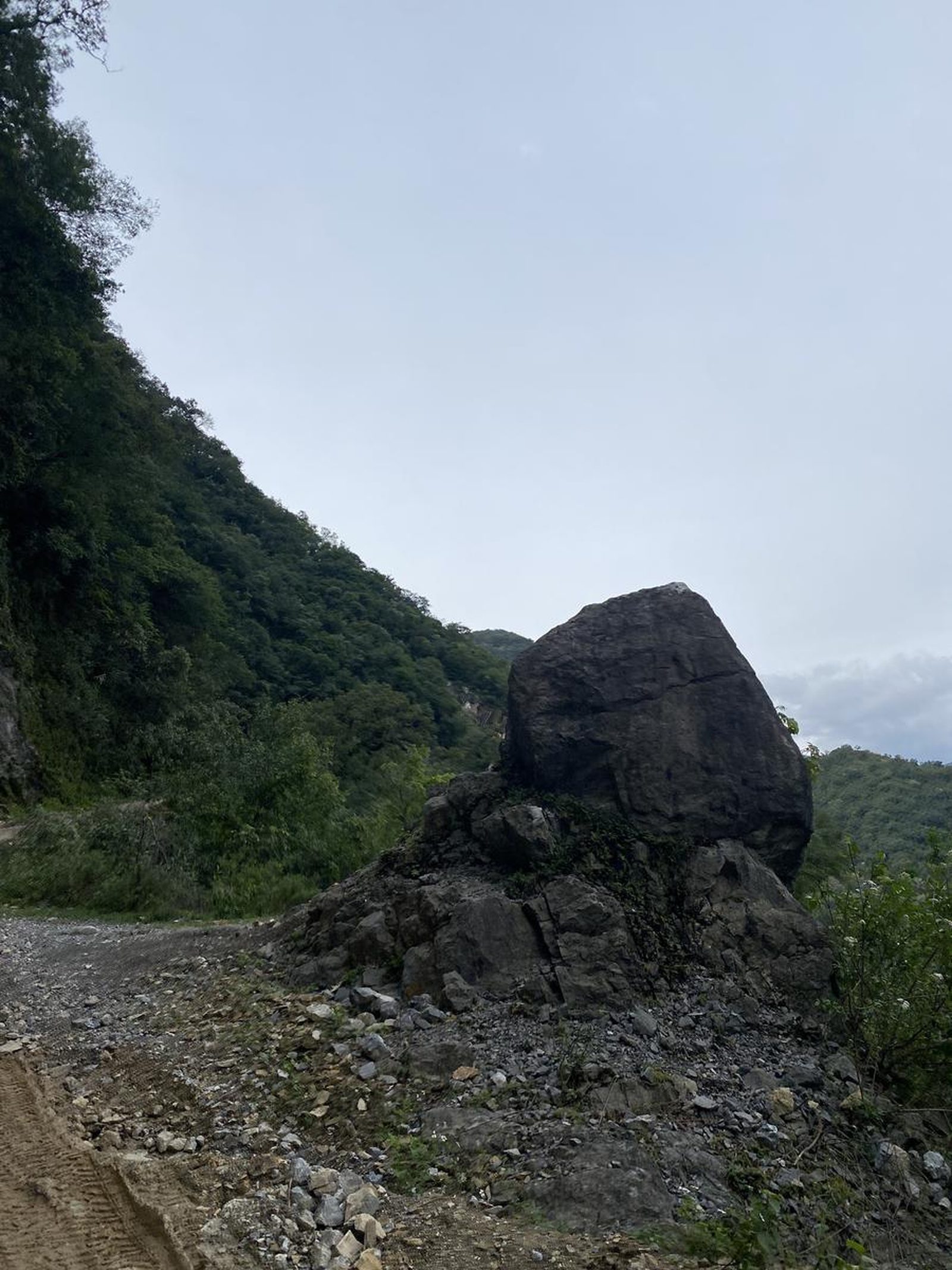
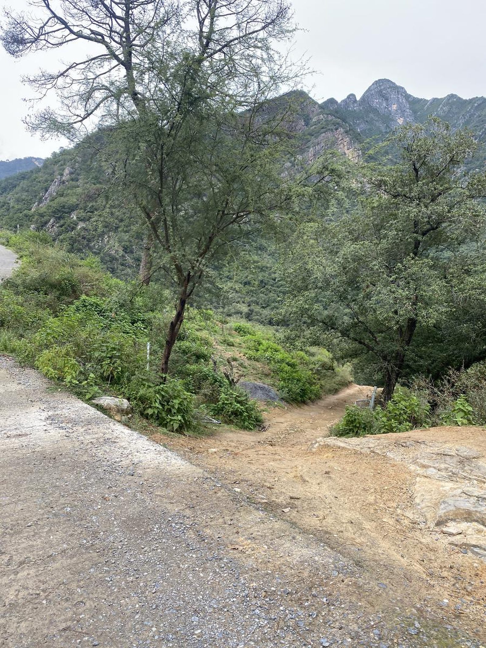
Completely marked by earthworks.
Recommended Gear
Extra food and raincoat in case of rain.
What to Expect on the Trail
i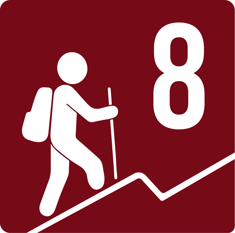
Elevation Gain
1443 m
Total Distance (Out & back)
27 km
Total Time
8 h 24 m
Max Elevation
no data
The route is physically demanding due to its 28 kilometers long and constant ascent and descent.