
Cueva de los Murciélagos
Cueva de los Murciélagos
La Huasteca, Santa Catarina
473 m
1.27 km
2 h 30 m
830 msnm
This trail is an ideal option for those looking for a short, shady route relatively close to the city.
Warnings


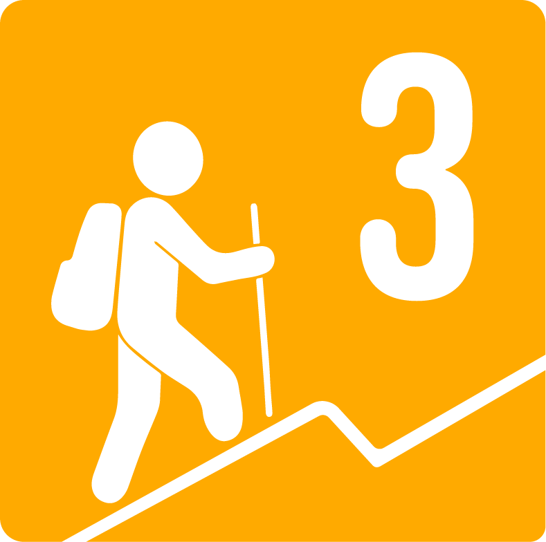
Level
i
Packing List
How to get there
Trailhead Access
To get to the beginning of the route, drive along Morones Prieto Avenue heading west, that is, towards the toll road to Saltillo, crossing various points of interest such as the statue of “Diana the Huntress”, “The Cabin Bridge” or the University of Monterrey, precisely, after the university you will find signs indicating the direction to go to the Huasteca. Caution should be taken since the toll road to Saltillo and the La Huasteca Natural Park share practically the same road, so you have to be aware of the signs and stick to the right at all times until you cross the intersection that diverts the road on one side to Saltillo and on the other to La Huasteca.
Parking Information
The designated parking lot for this route is located inside the park, past the booth about 500 meters away, on the right hand side, there is a large and safe parking lot to park your vehicle.
Fees & Park HoursN/A
Trail Overview
The route is very easy to follow, the path is also marked with ribbons of various colors, mainly blue. Before starting the ascent, you should observe the mountain and see the route to avoid getting lost. This route tends to go to the left until you reach the arch and you reach the cave directly.
Recommended Gear
Understanding the conditions of this route, it is recommended to bring the following material just as a precaution: - Headlamp (essential for night trips, DO NOT rely on the phone). - Thermal blanket - Powerbank - Blocker - Repellent - First aid kit
Elevation Gain
473 m
Total Distance (Out & back)
1.27 km
Total Time
2 h 30 m
Max Elevation
830 msnm
This route has a level 3 physical difficulty based on our difficulty classification metric. This means that the ascent has no more than 500 meters of unevenness, so it is not a very demanding climb. It is a fairly quick route to complete at a good pace, averaging an hour and a half to the summit and between two and three hours of total completion.