
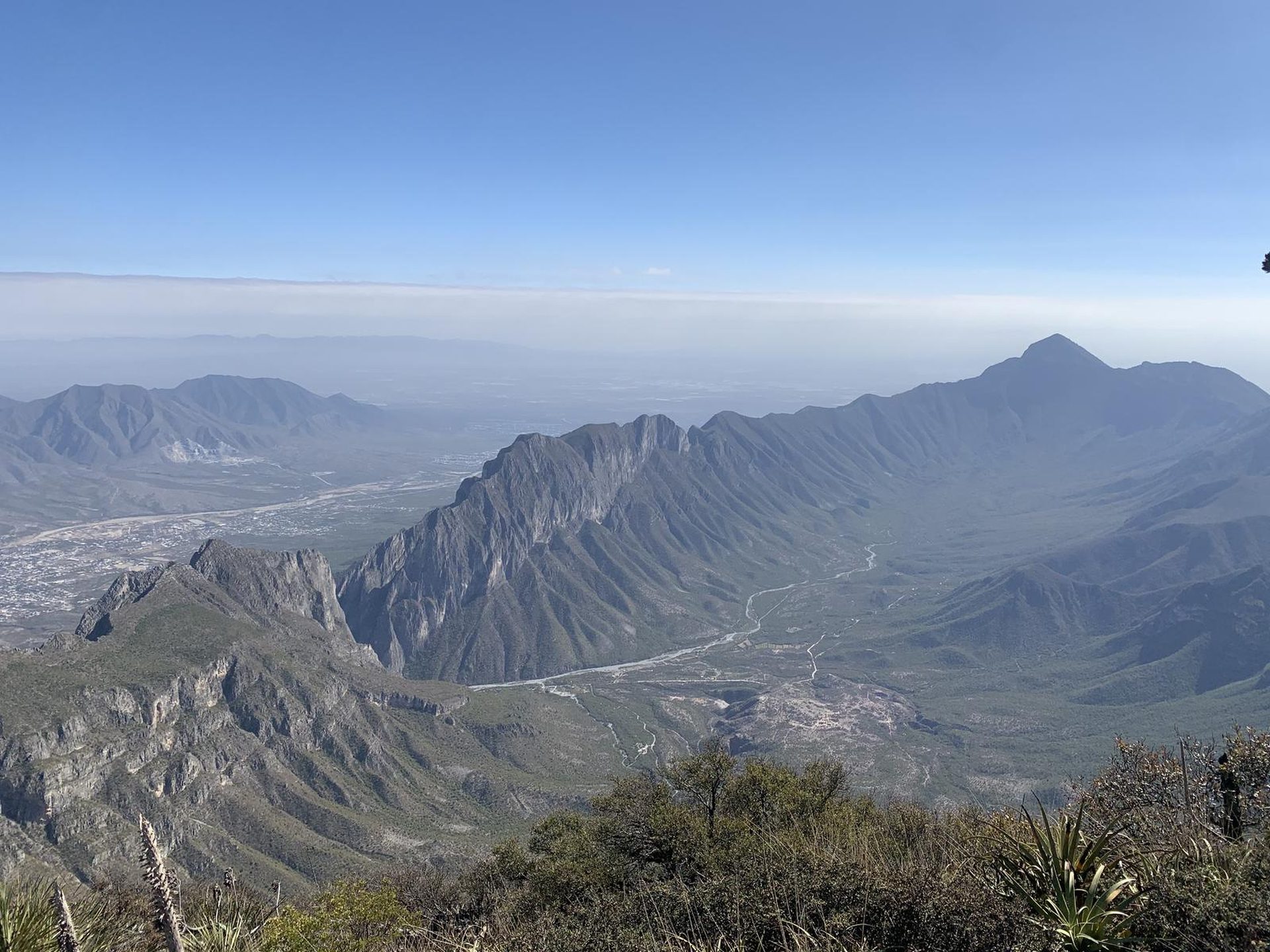
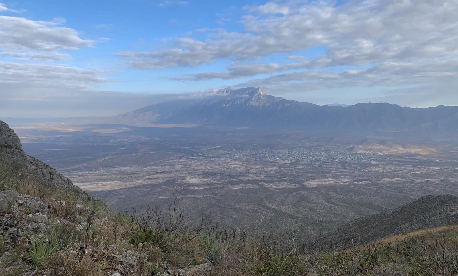
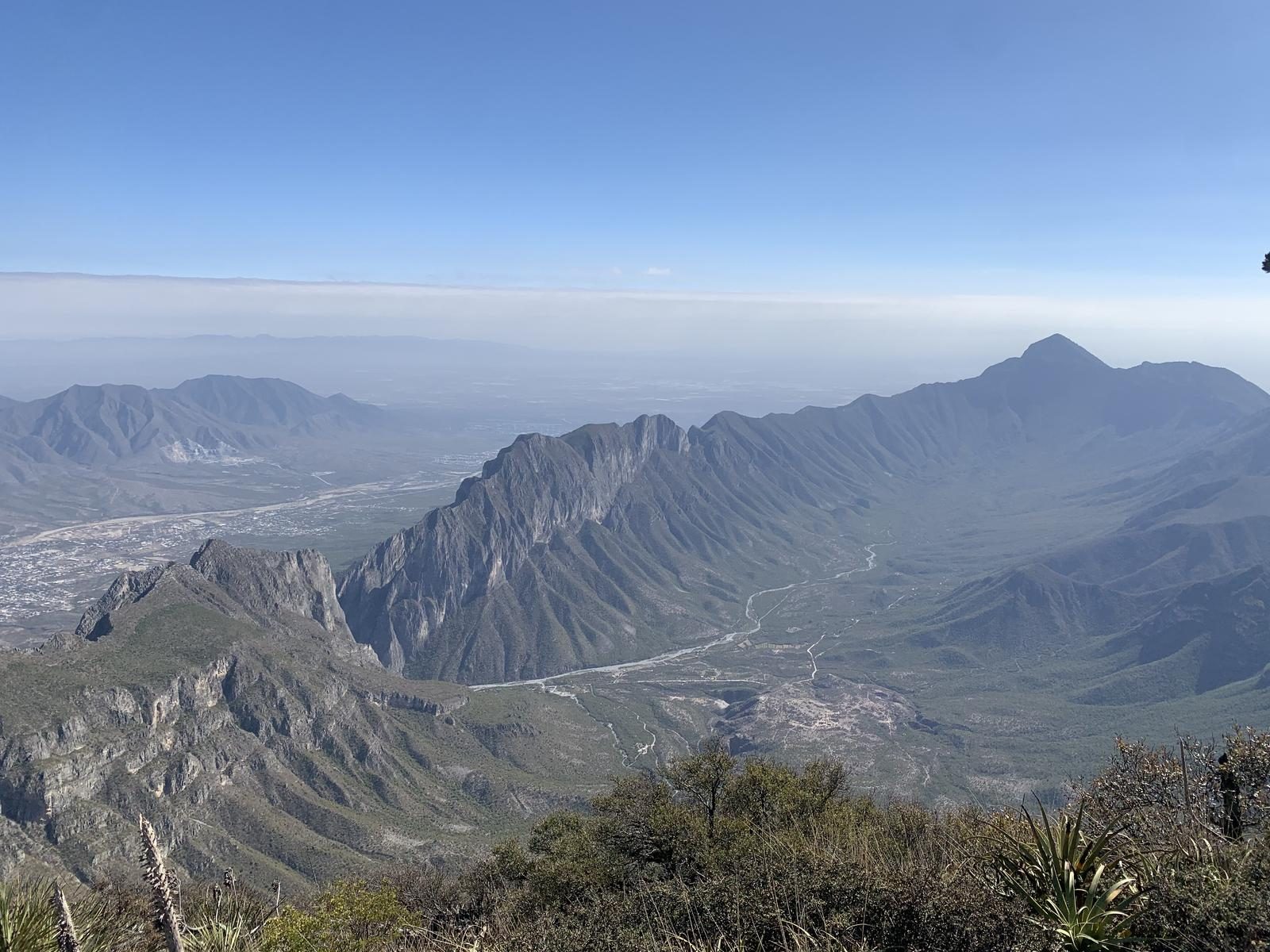
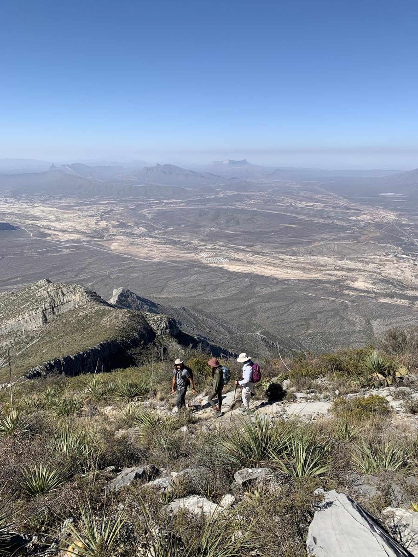
La Palmitosa, Mina
Sierra de Minas Viejas
- Elevation gain
- 4593 ft
- Distance
- 7.5 mi
- Time
- 5 h
- Altitude
- 6736 ft
Within the Sierra del Fraile there is a world of peaks, however there are 4 peaks that stand out among their small neighbors.
📢 Alerts & Updates
This route in summer can be very demanding.
Warnings


Level
i
Packing List
How to get there
Trailhead Access
Although this summit is located in the Sierra del Fraile, to reach the beginning of the village you have to go around the entire hill and then enter the car/van through a dirt road. Take the road to Monclova and shortly after passing the municipal seat of Mina, take the road to Icamole and shortly after (4.8 km) take a detour to the left. This road crosses some poultry farms and eventually reaches a crossroads; immediately after the tracks we will leave the road to take a dirt road to the hill. Depending on our vehicle, we can move forward on this path. While you can park from here, this would add more distance and complexity to our route.
Parking Information
At the beginning of the trail there are large, unvegetated areas where we can leave our vehicle
Fees & Park Hours
None, only transport ones. The roads are toll-free.
Trail Overview
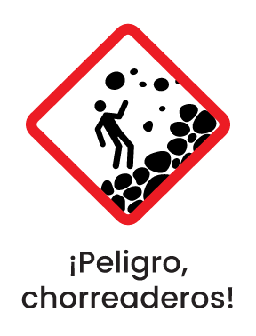
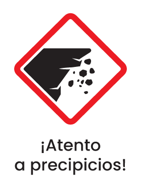
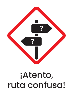
This route lacks signage and the path is confusing in many sections, as it is not very well defined. It is recommended to go with someone you already know or who has very good guidance and risk assessment skills.
Recommended Gear
- First aid kit - Electrolyte powder - Extra battery (power bank) - Extra lamp/batteries - Thermal blanket (can be used to shelter from the sun and/or to cover up in case you have to spend the night) - Sunscreen - A bag for our garbage.
What to Expect on the Trail
i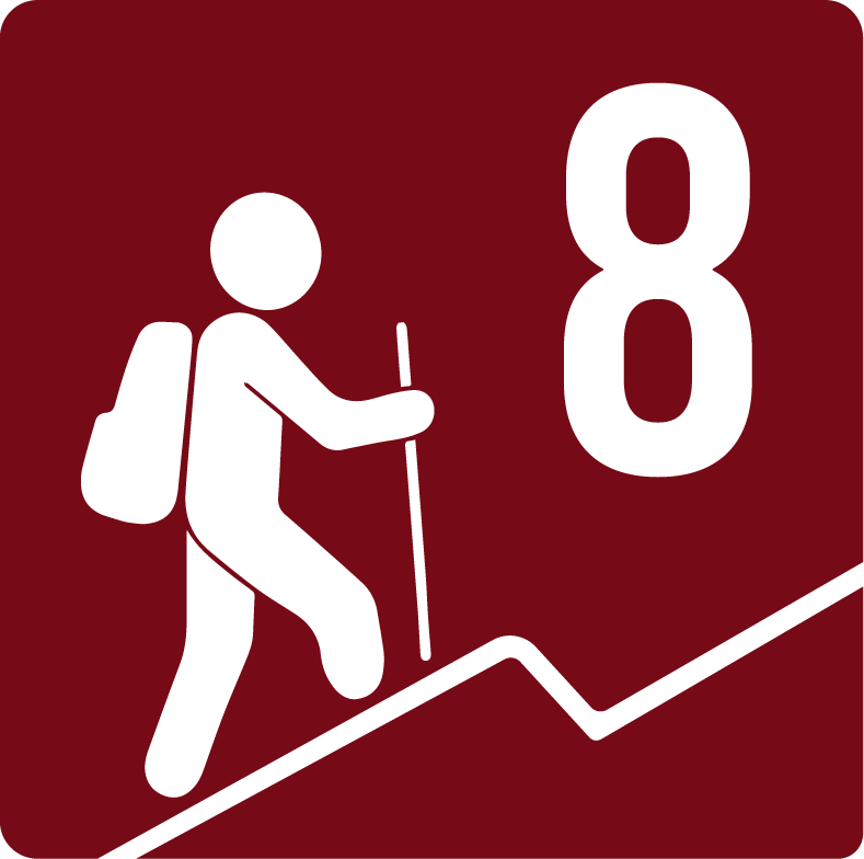
Elevation Gain
1400 m
Total Distance (Out & back)
12 km
Total Time
5 h
Max Elevation
2053 m a.s.l.
Level 8, this route offers us just over 1,400m of positive elevation gain, spread over 6 km of distance (climb only). Level 6 of physical difficulty covers a range of 1,400m and 1,600m of positive elevation gain. It is an extremely demanding route and should not be taken lightly.