
La Veleta


La Veleta
Sierra de Arteaga, Arteaga (Coahuila)
2364 m
23.1 km
8 h 33 m
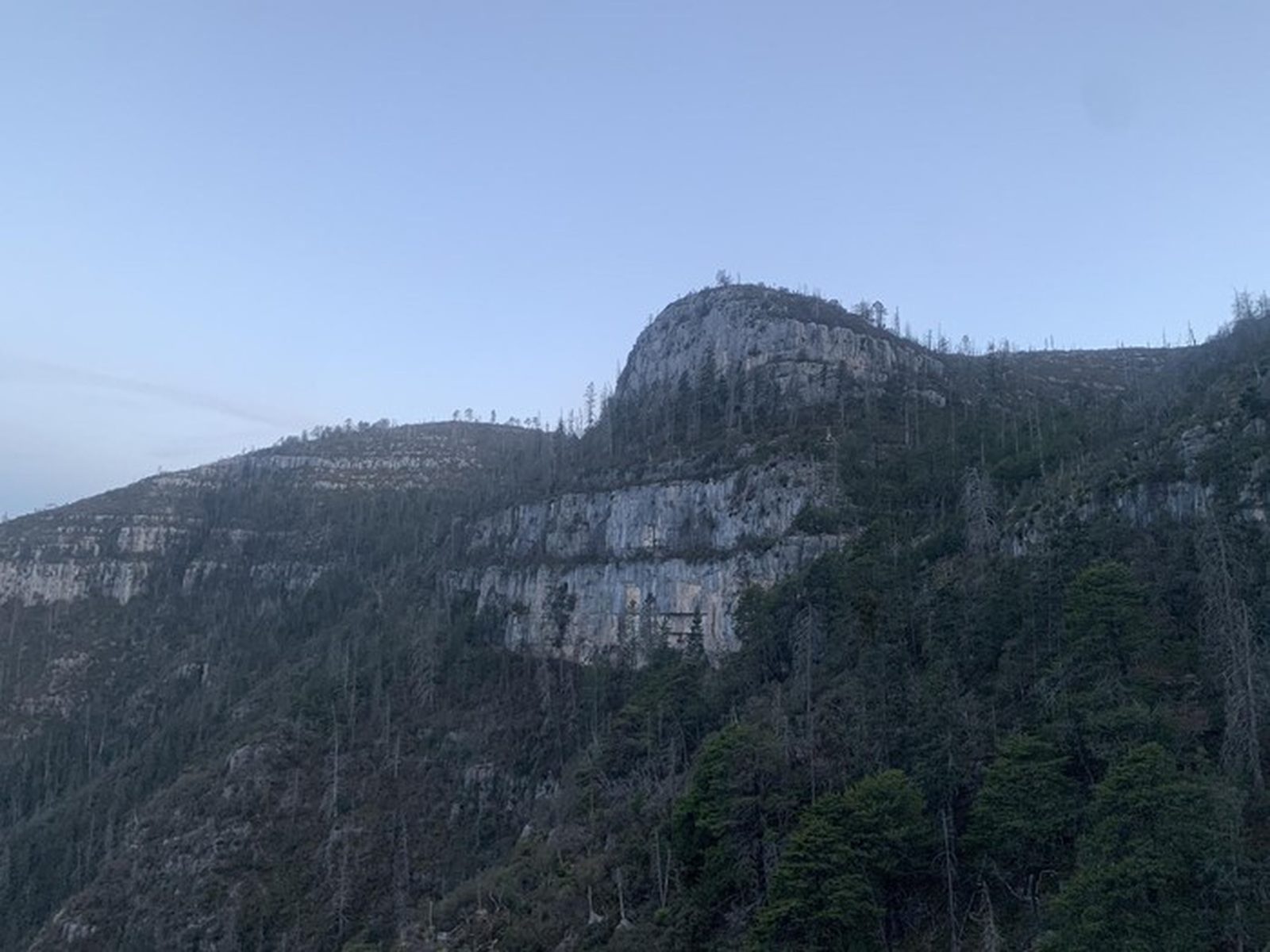
3326 msnm
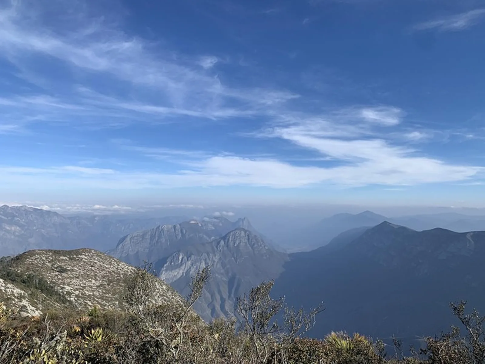
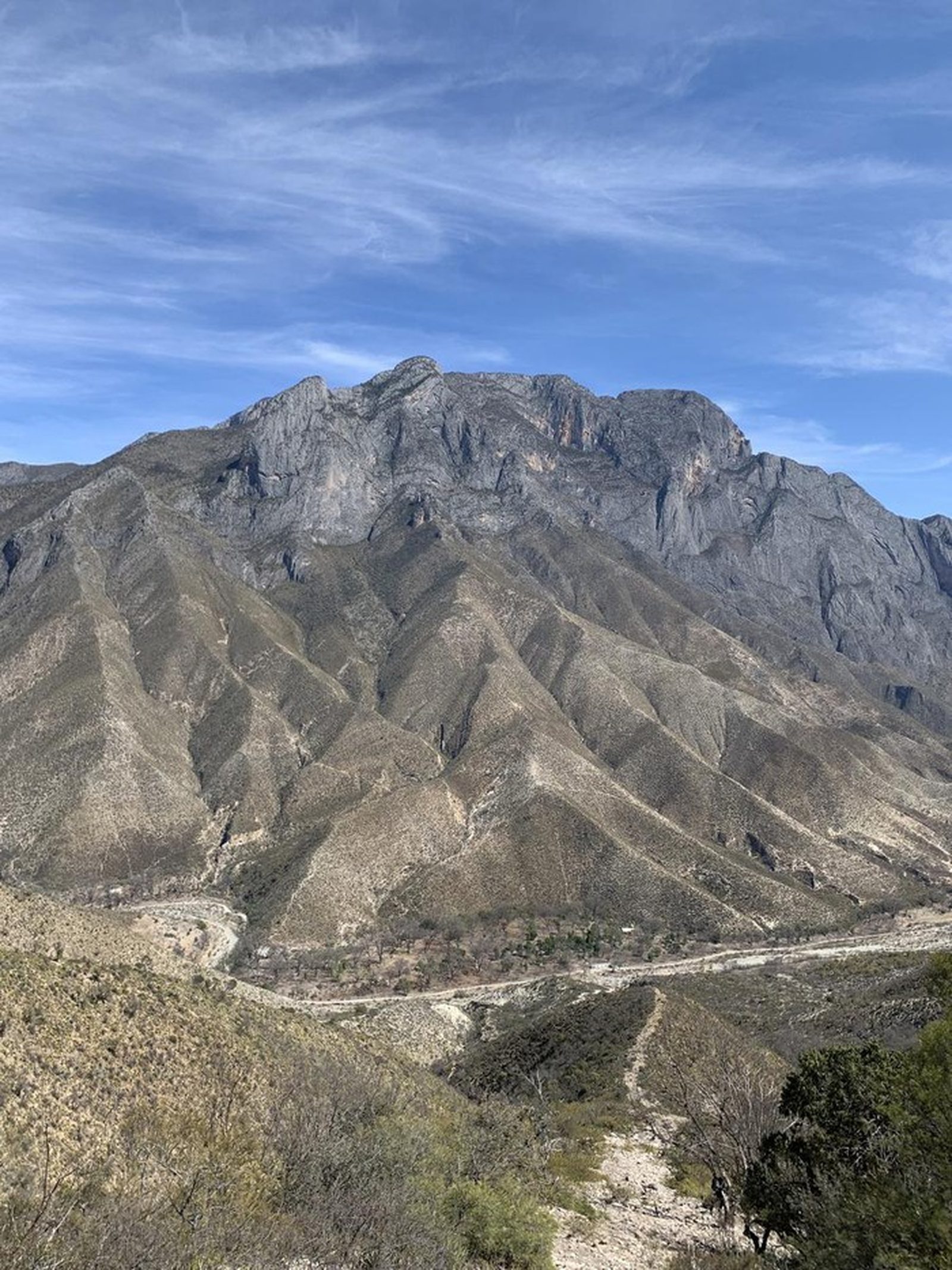
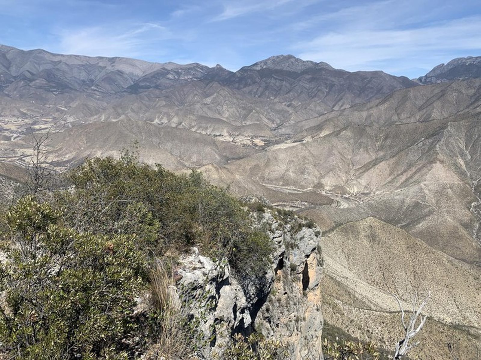
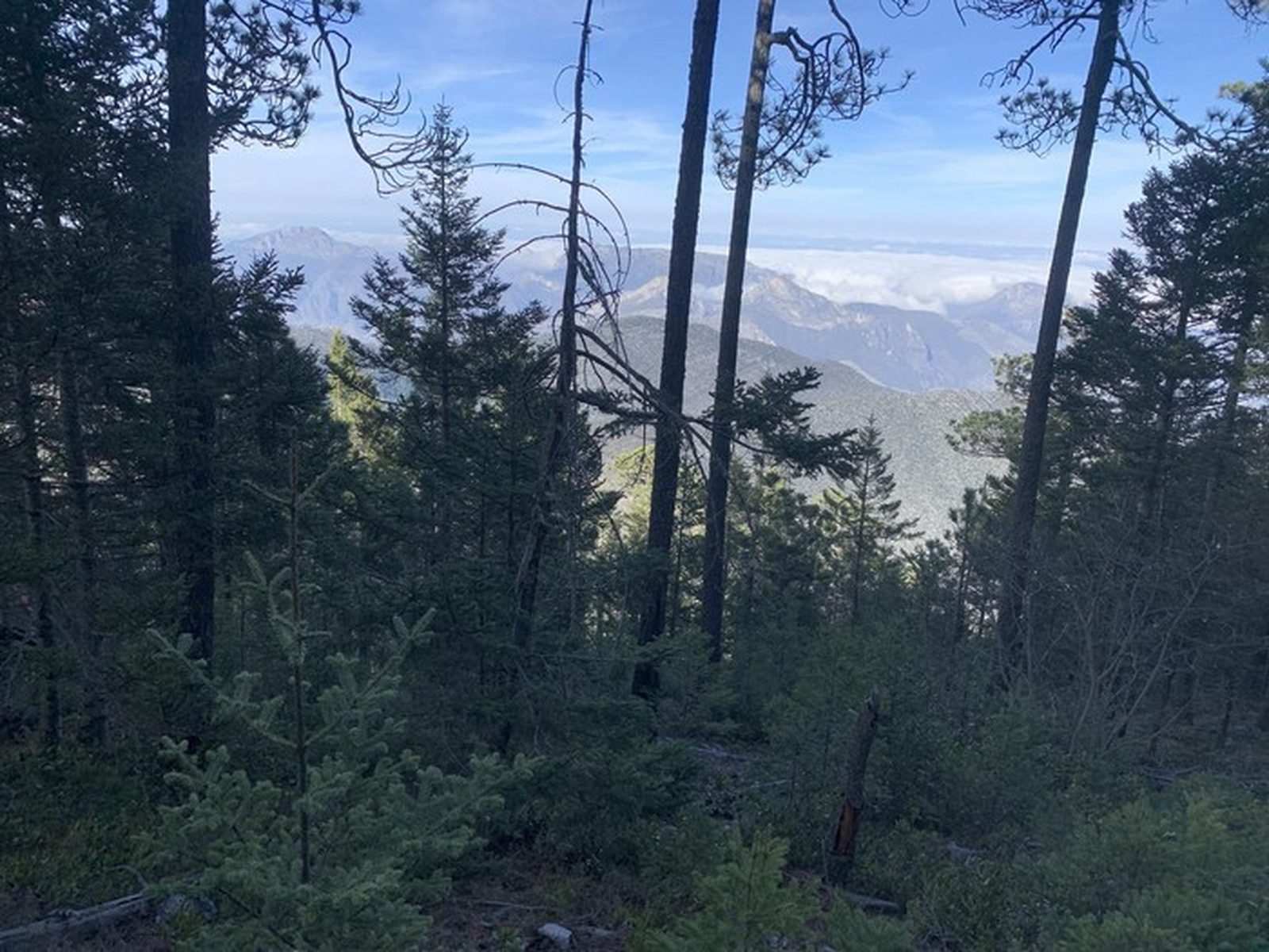
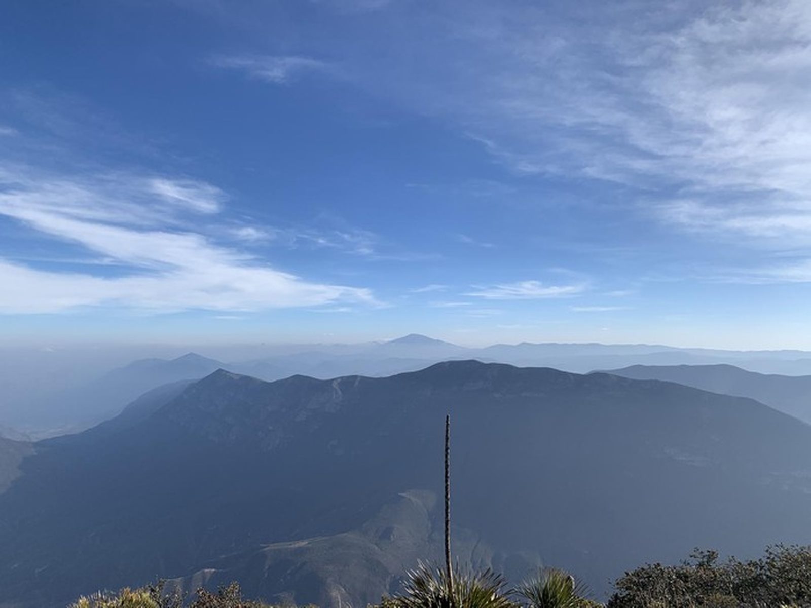
La Veleta — high summit in the Sierra de Arteaga at 3,326 msnm. 23.10 km with 2,364 m of elevation gain. Possible snow in winter.
Warnings


Level
i
Packing List
How to get there
Trailhead Access
Drive from Monterrey toward Arteaga, Coahuila. Take the federal highway through Saltillo and continue toward San Antonio de las Alazanas; the trailhead is on the access road to the Sierra de Arteaga.
Parking Information
Park at the trailhead clearing. The access road is dirt; high-clearance recommended.
Fees & Park Hours
No formal access fees.
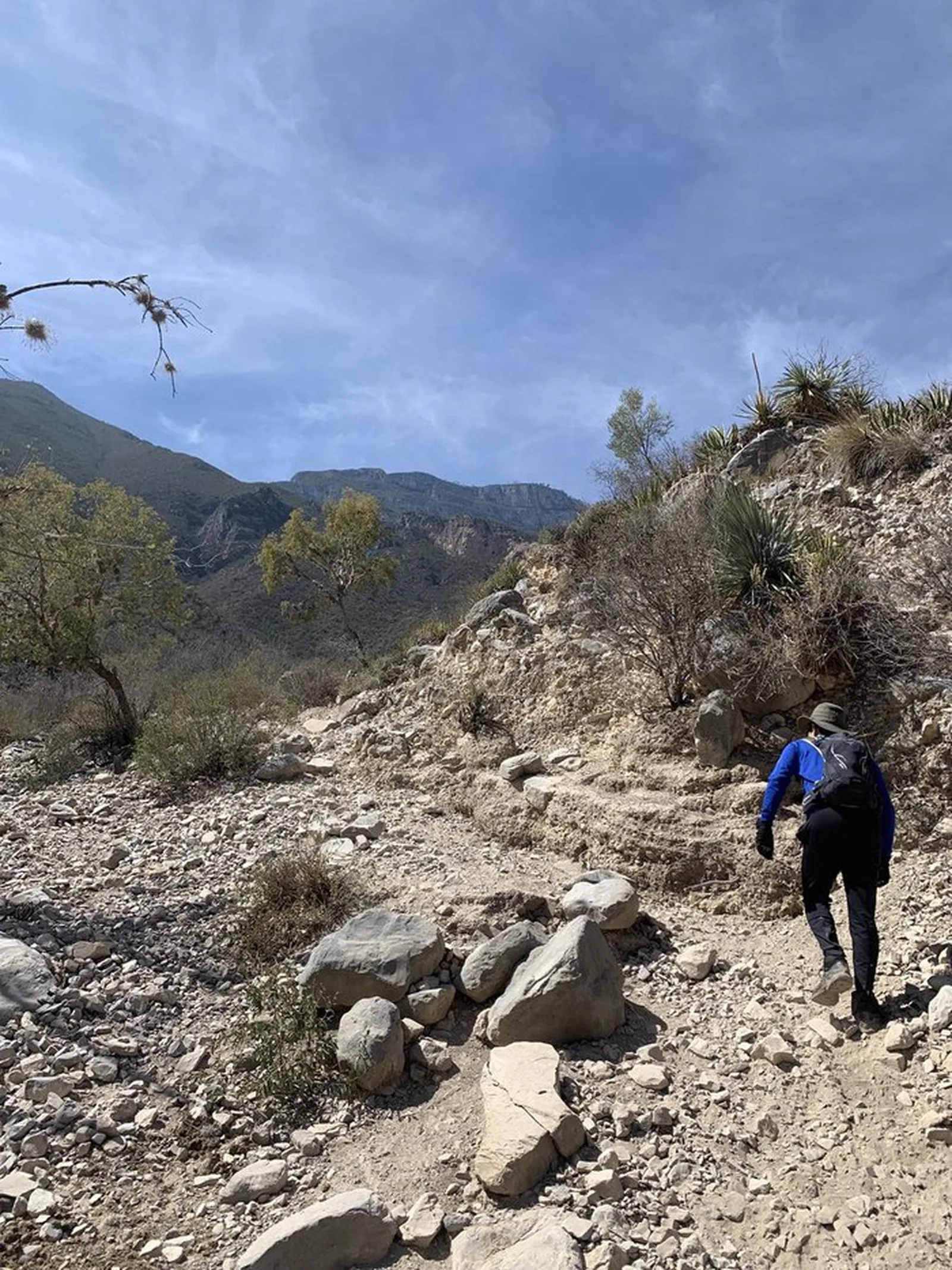
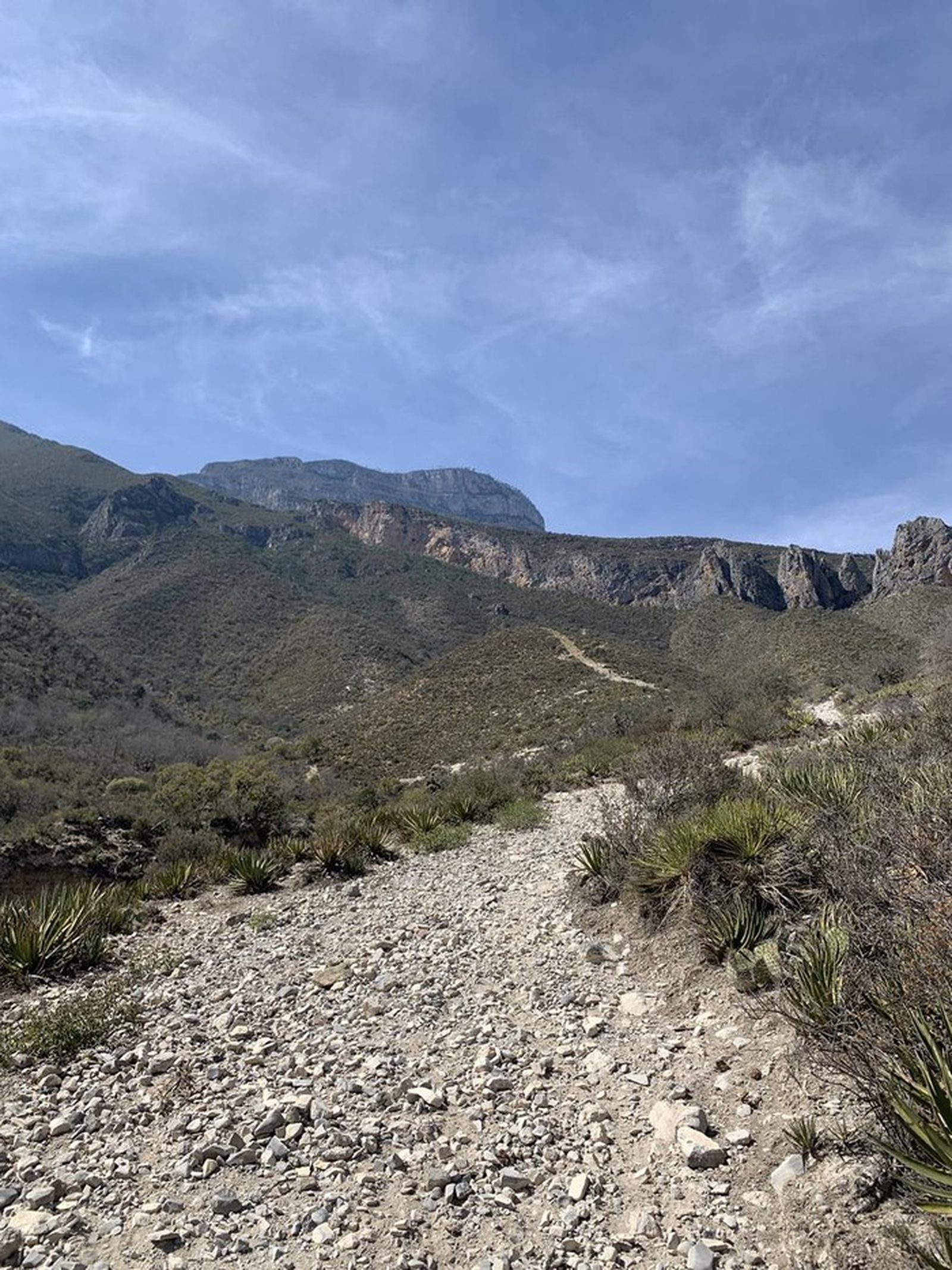
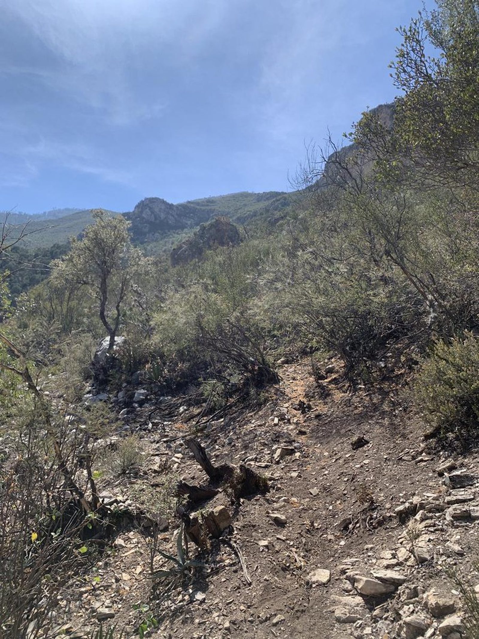
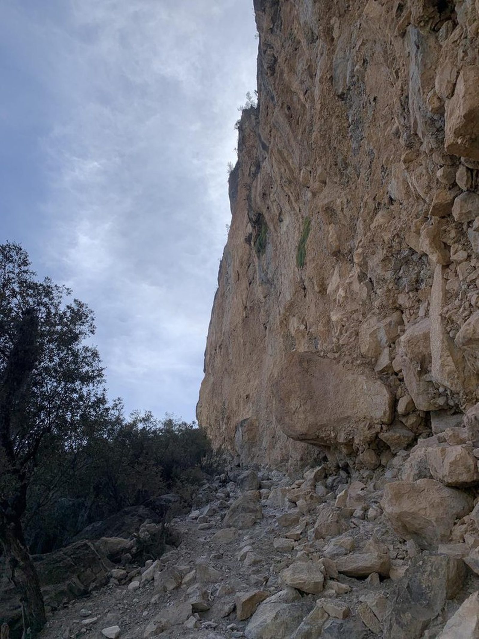
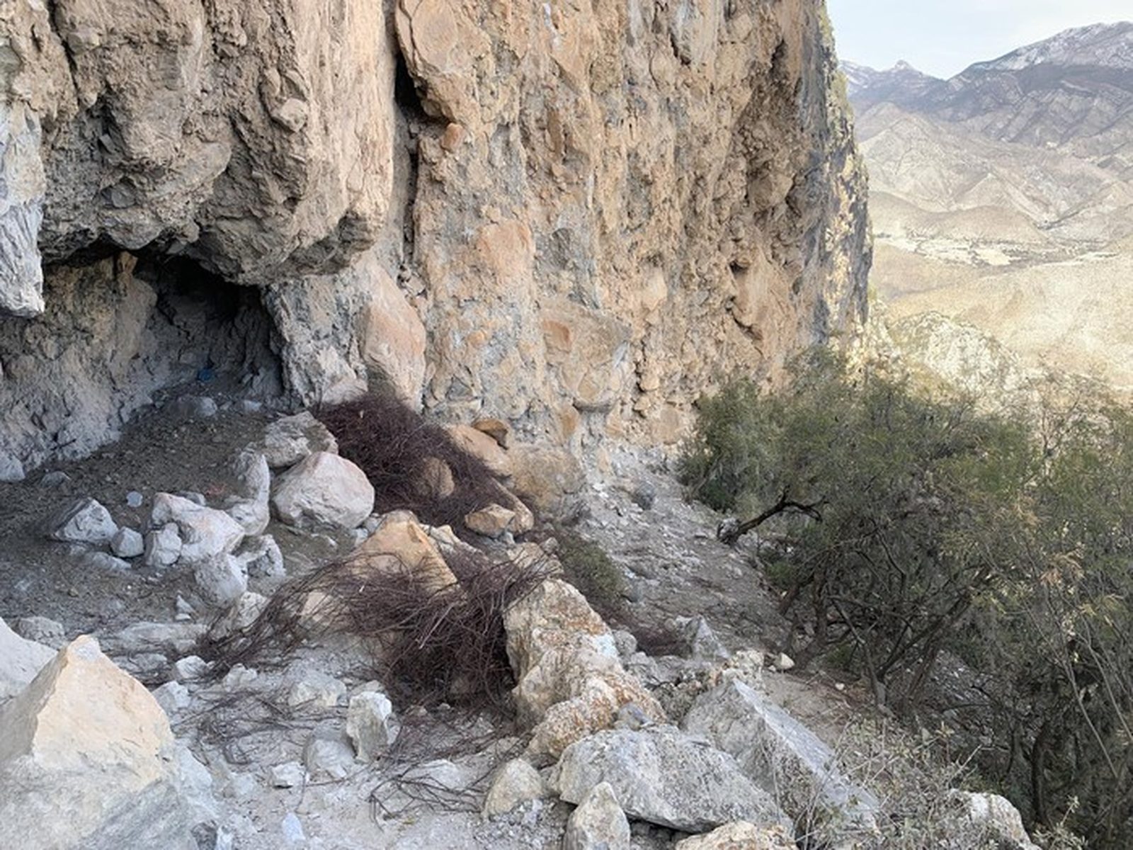
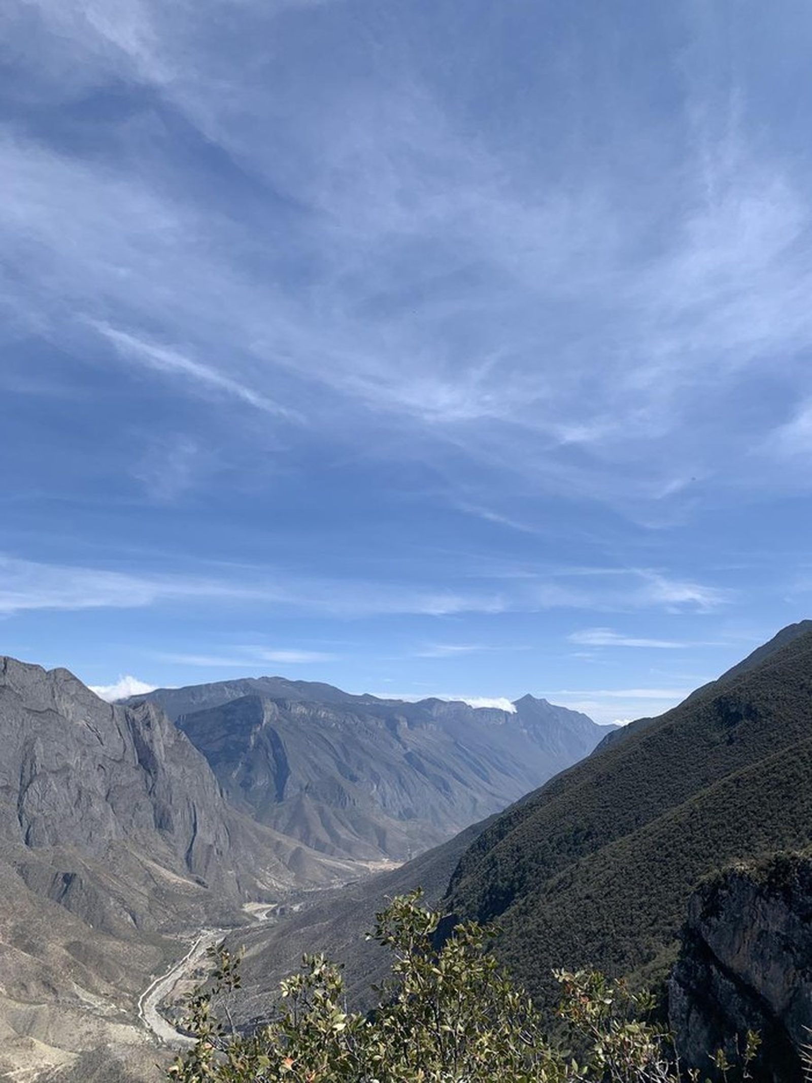
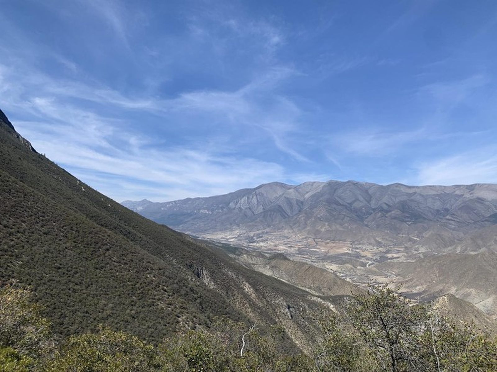
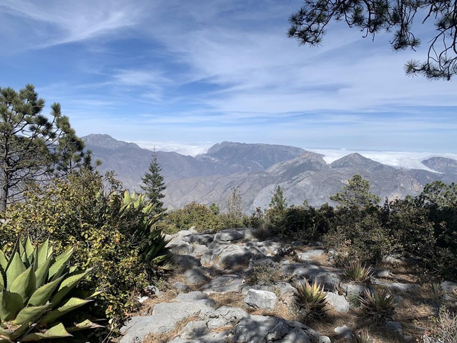
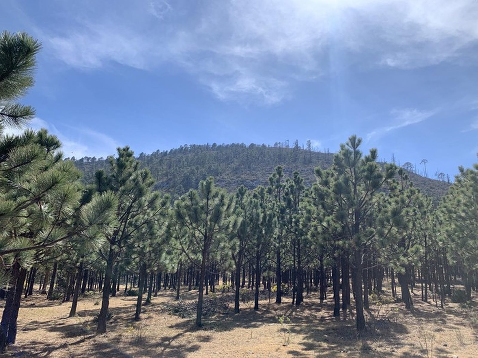
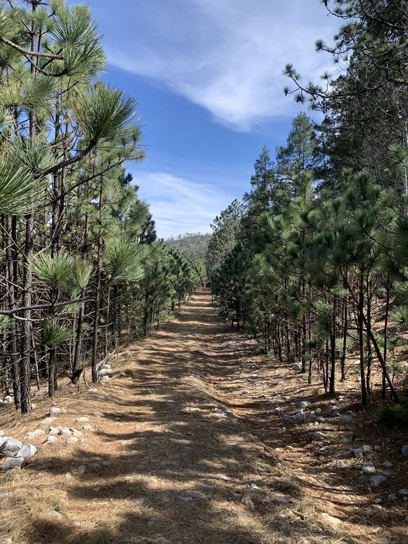
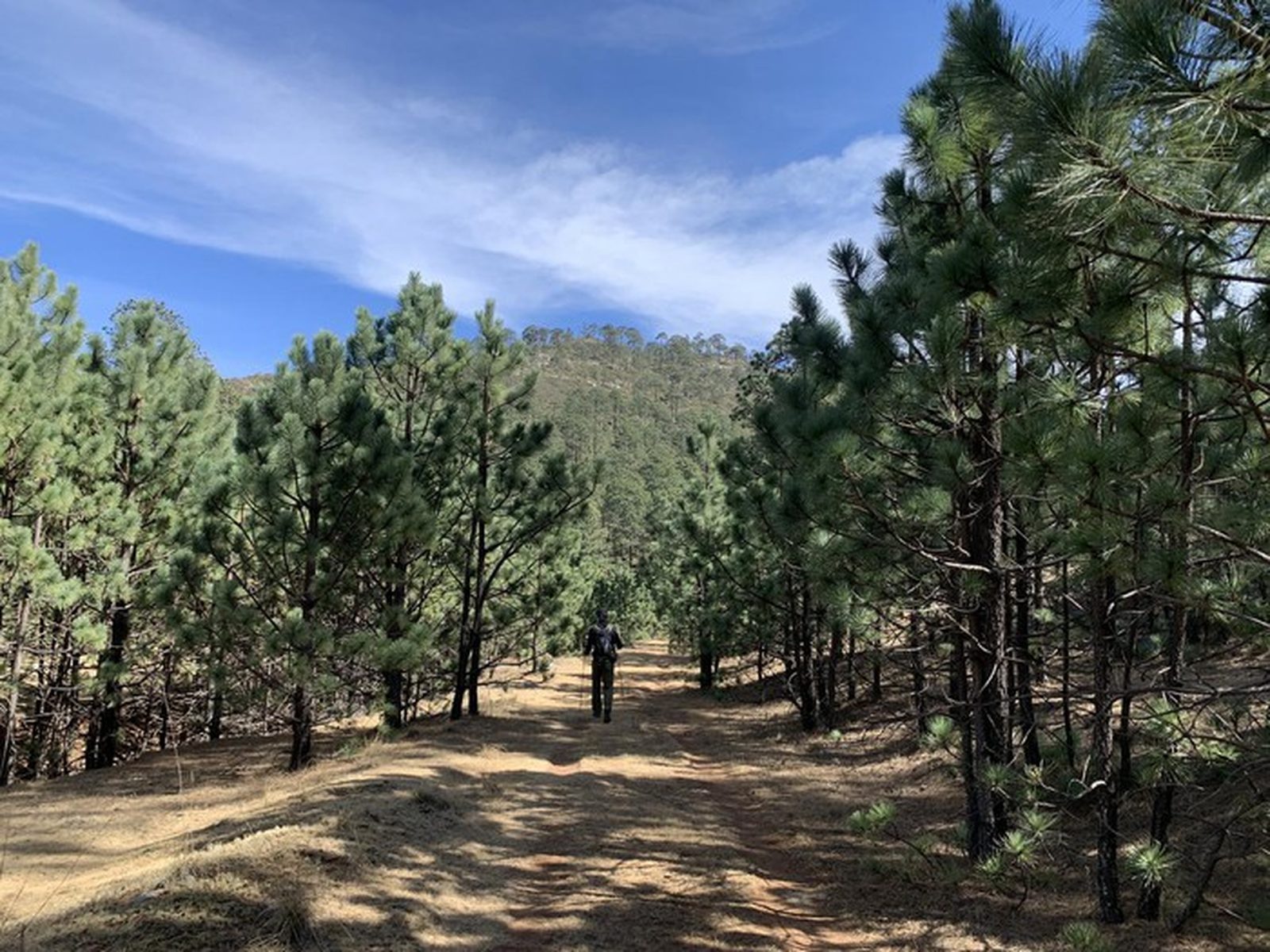
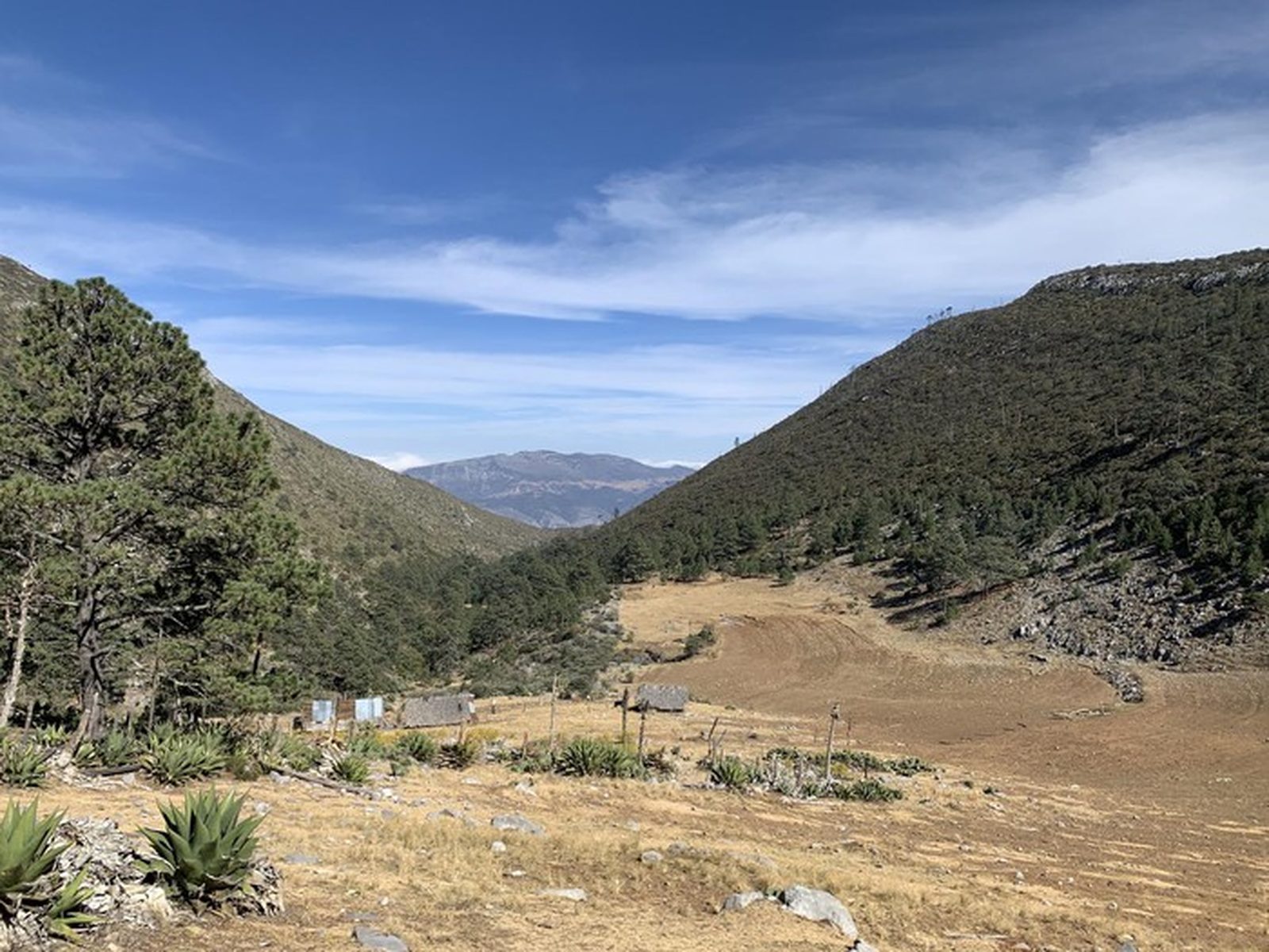
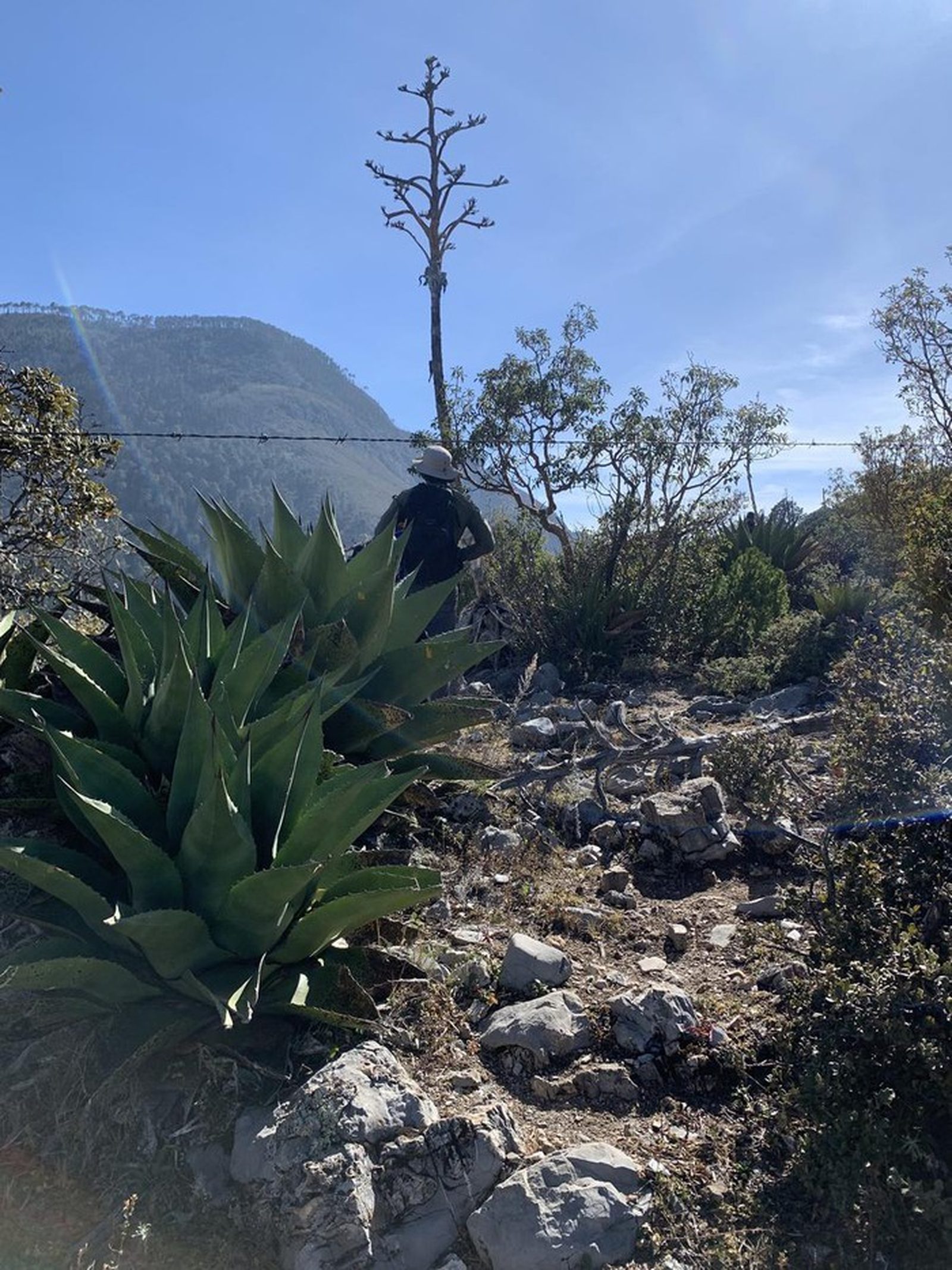
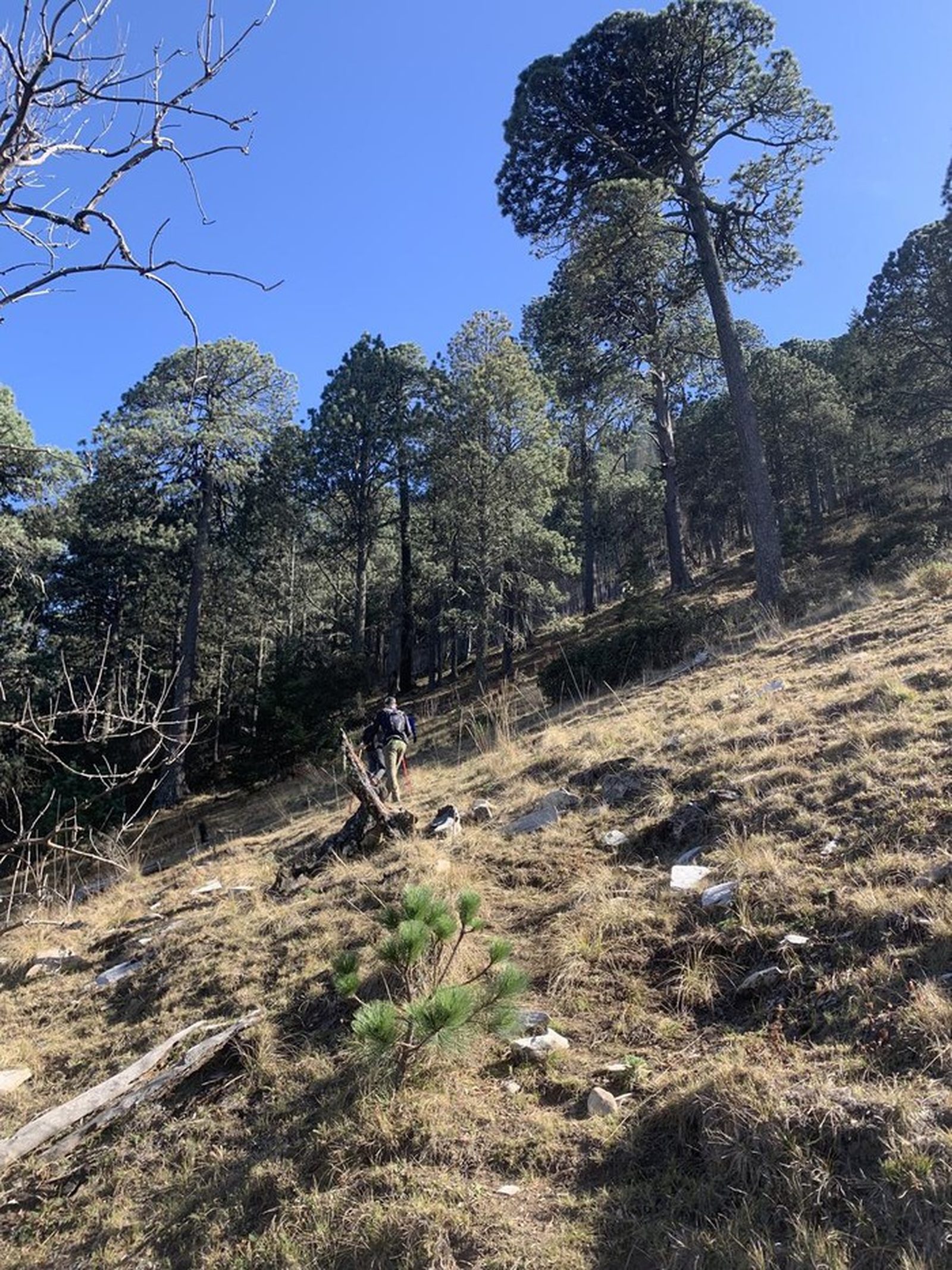
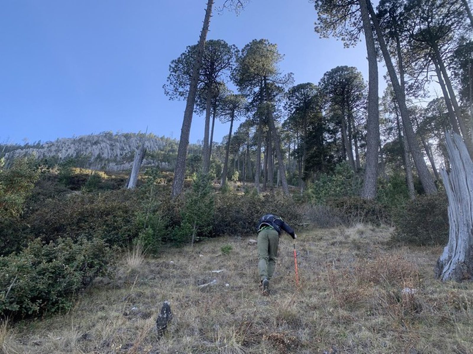
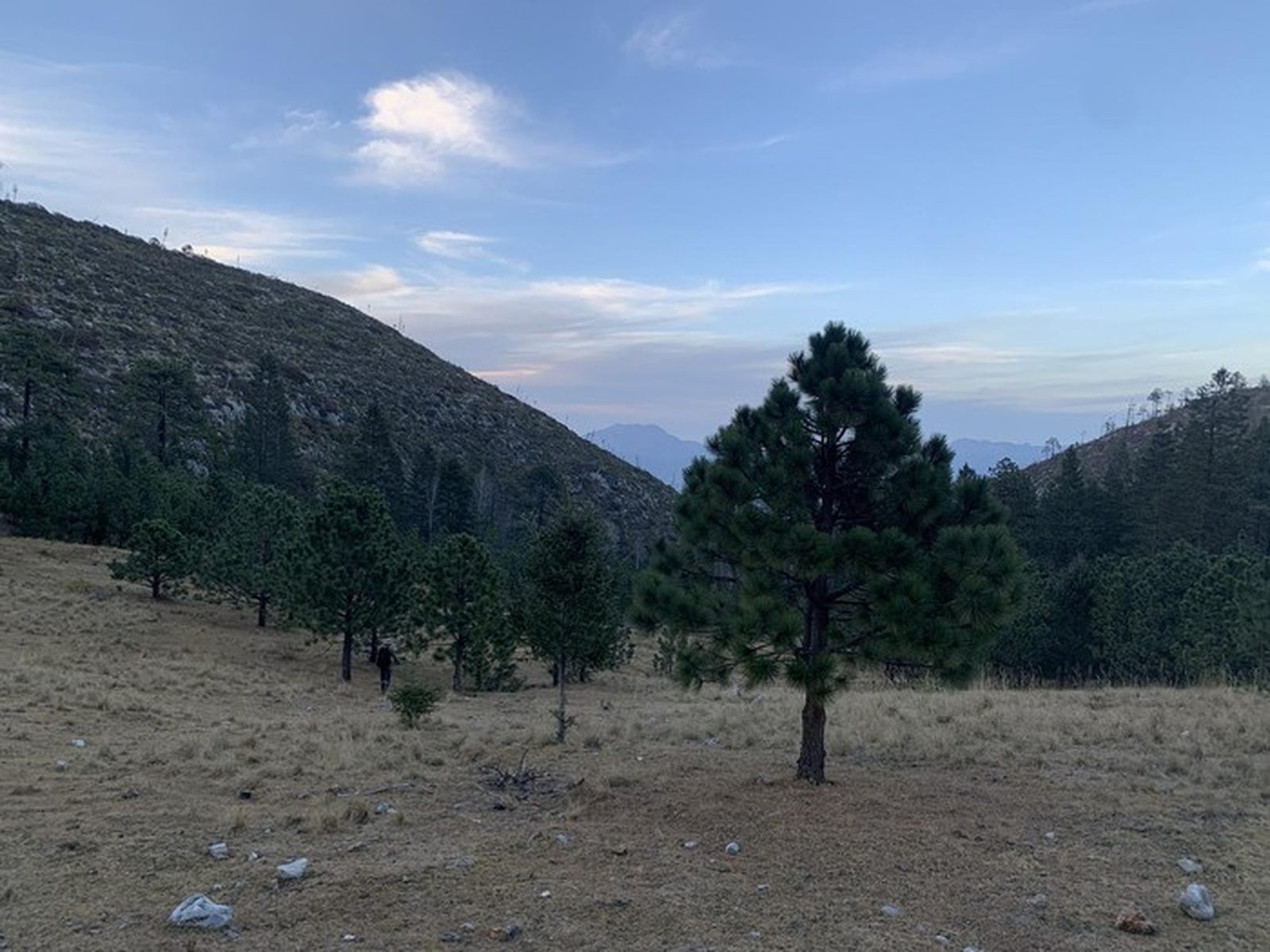
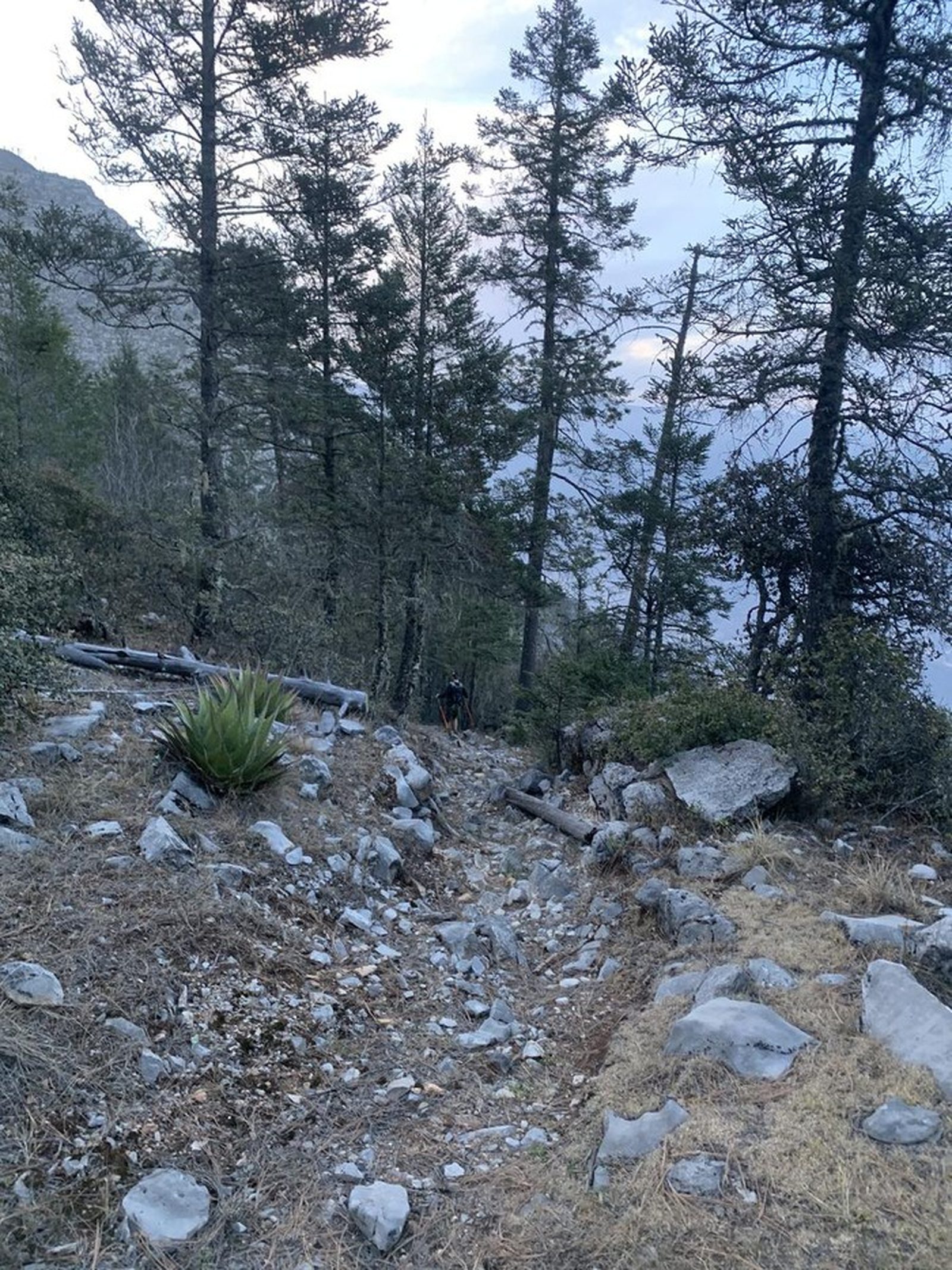
Trail Overview
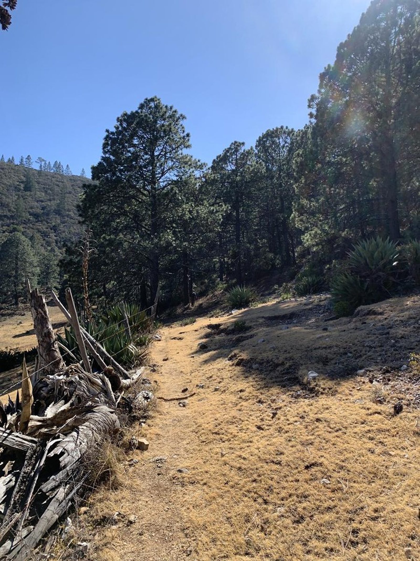
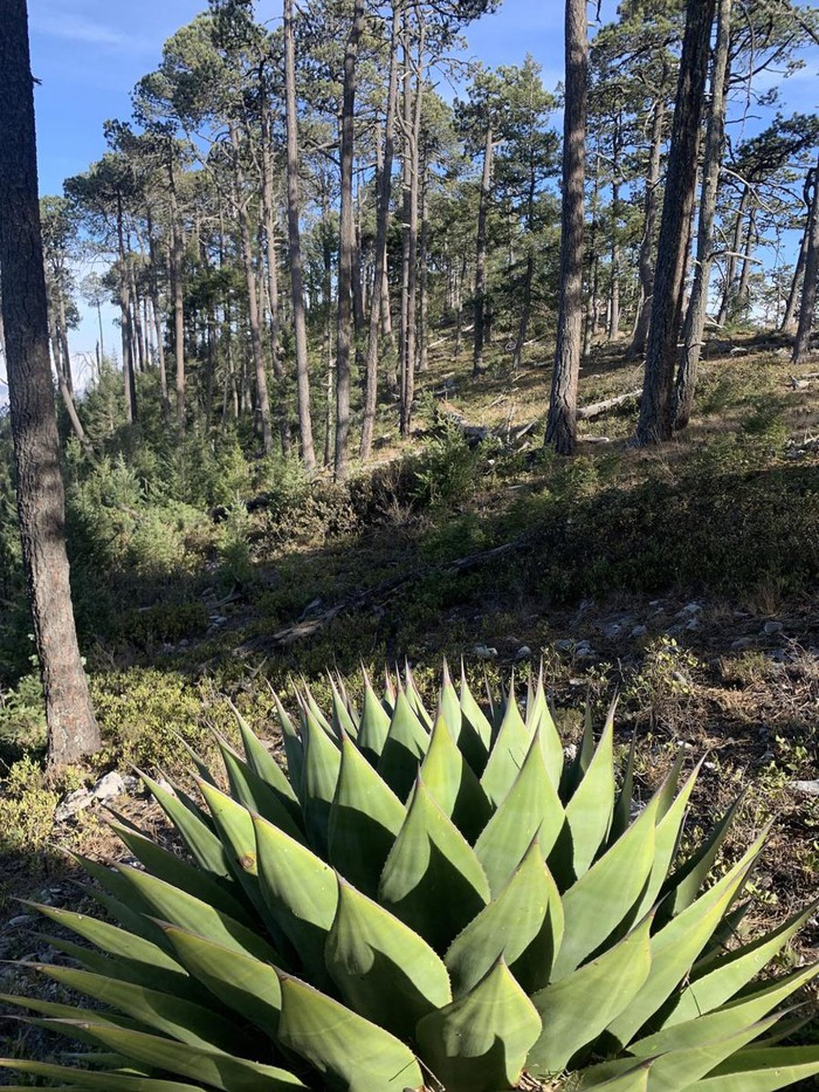
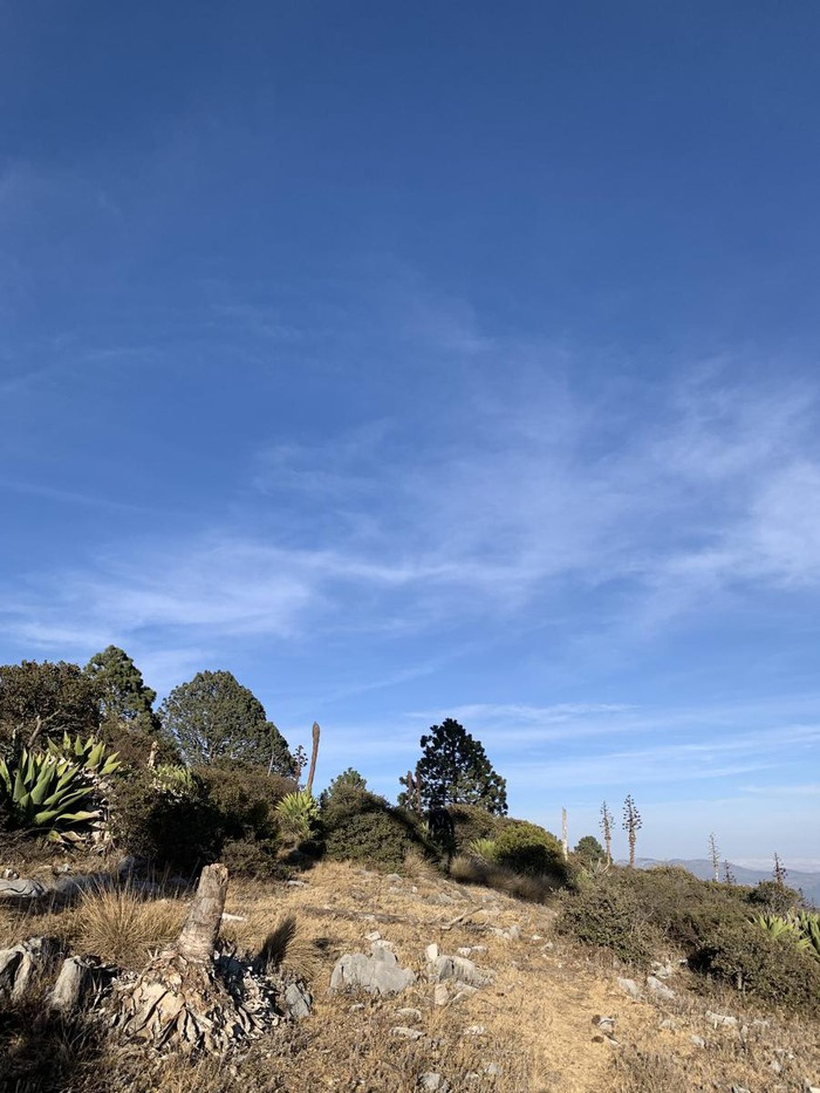
Long approach on dirt road then a steady climb through pine forest to the high ridge. The final stretch after the saddle has no clear trail.
Recommended Gear
Hiking poles, headlamp, power bank, sunscreen, first-aid kit, emergency blanket. Crampons may be needed in winter.

Elevation Gain
2364 m
Total Distance (Out & back)
23.1 km
Total Time
8 h 33 m
Max Elevation
3326 msnm
Level 10. Very long and demanding: ~23.10 km with 2,364 m of elevation gain to over 3,326 msnm. Altitude can cause altitude sickness; train accordingly.