
Mirador El Bútano, Montemorelos
La Trinidad
- Elevation gain
- 3281 ft
- Distance
- 9.4 mi
- Time
- 5 h 1 m
- Altitude
- 7218 ft
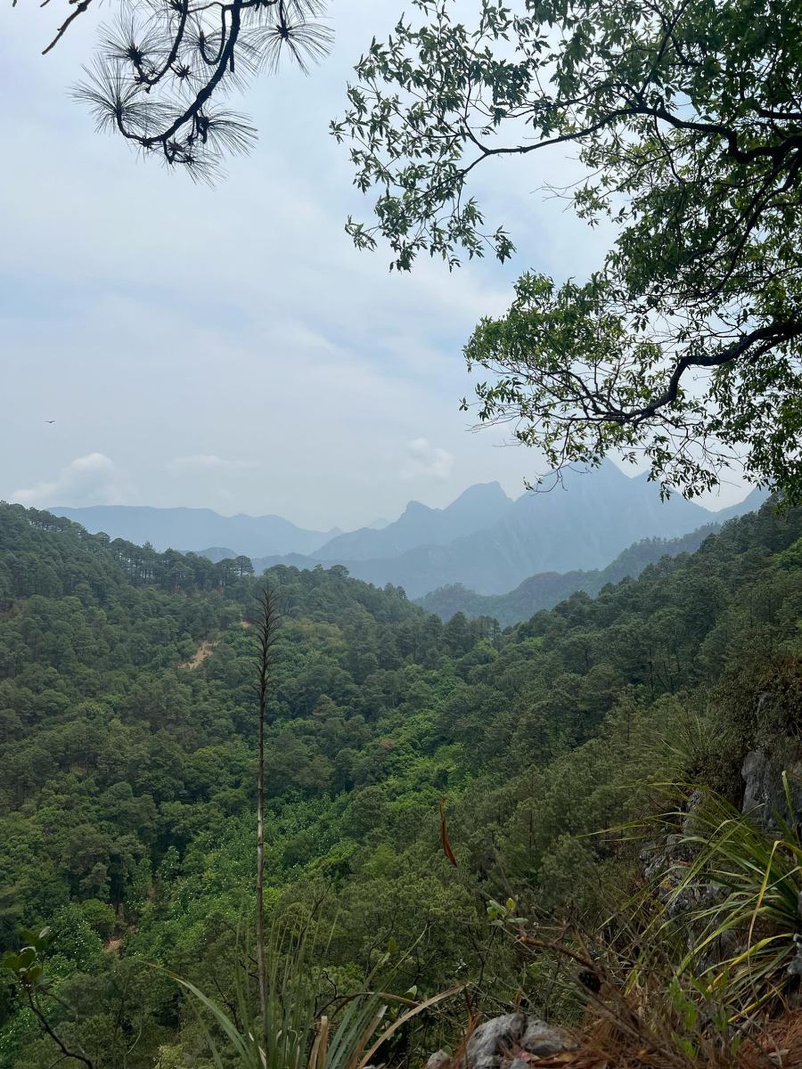
You are in El Bútano, a viewpoint in the Sierra de Montemorelos, Nuevo León.
📢 Alerts & Updates
This route can be done comfortably in any season of the year.
Warnings
Level
i
Packing List
How to get there
Trailhead Access
To get to the beginning of this route, you have to go south of Monterrey, in the direction of La Trinidad in Montemorelos, Nuevo León. Being in the center of Monterrey, we head for the National Highway until we reach the town of “Raíces”, where the Ramos River is located. When you get there, continue on the road until you reach Paso Canavati. This road goes to La Trinidad, with ups and downs, parts with cement and others with dirt.
Parking Information
In La Trinidad there is space to park, only without obstructing the entrance of any property or obstructing the passage of cars. They can also ask local people to see where they recommend parking.
Fees & Park Hours
No cost
Trail Overview
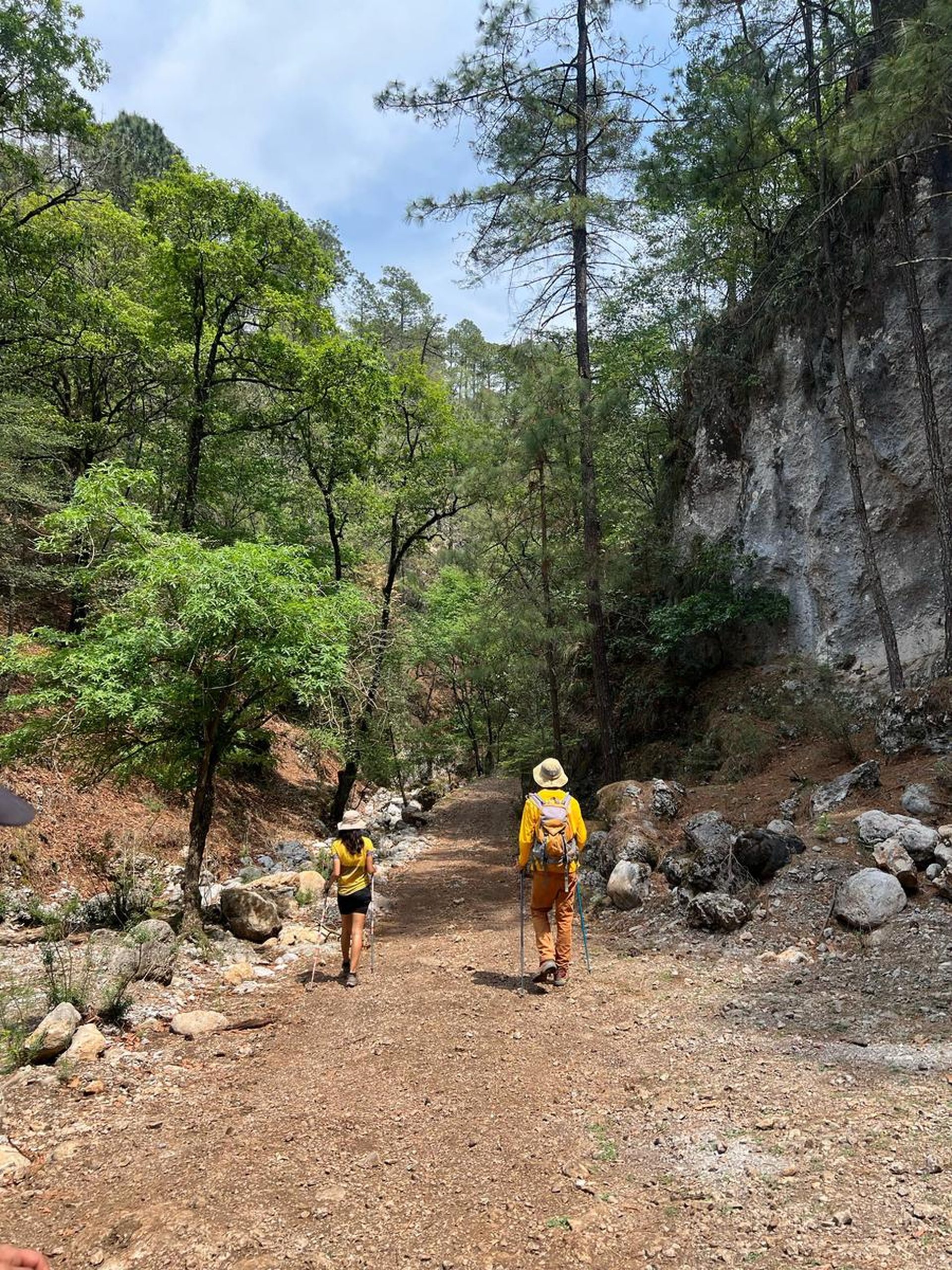
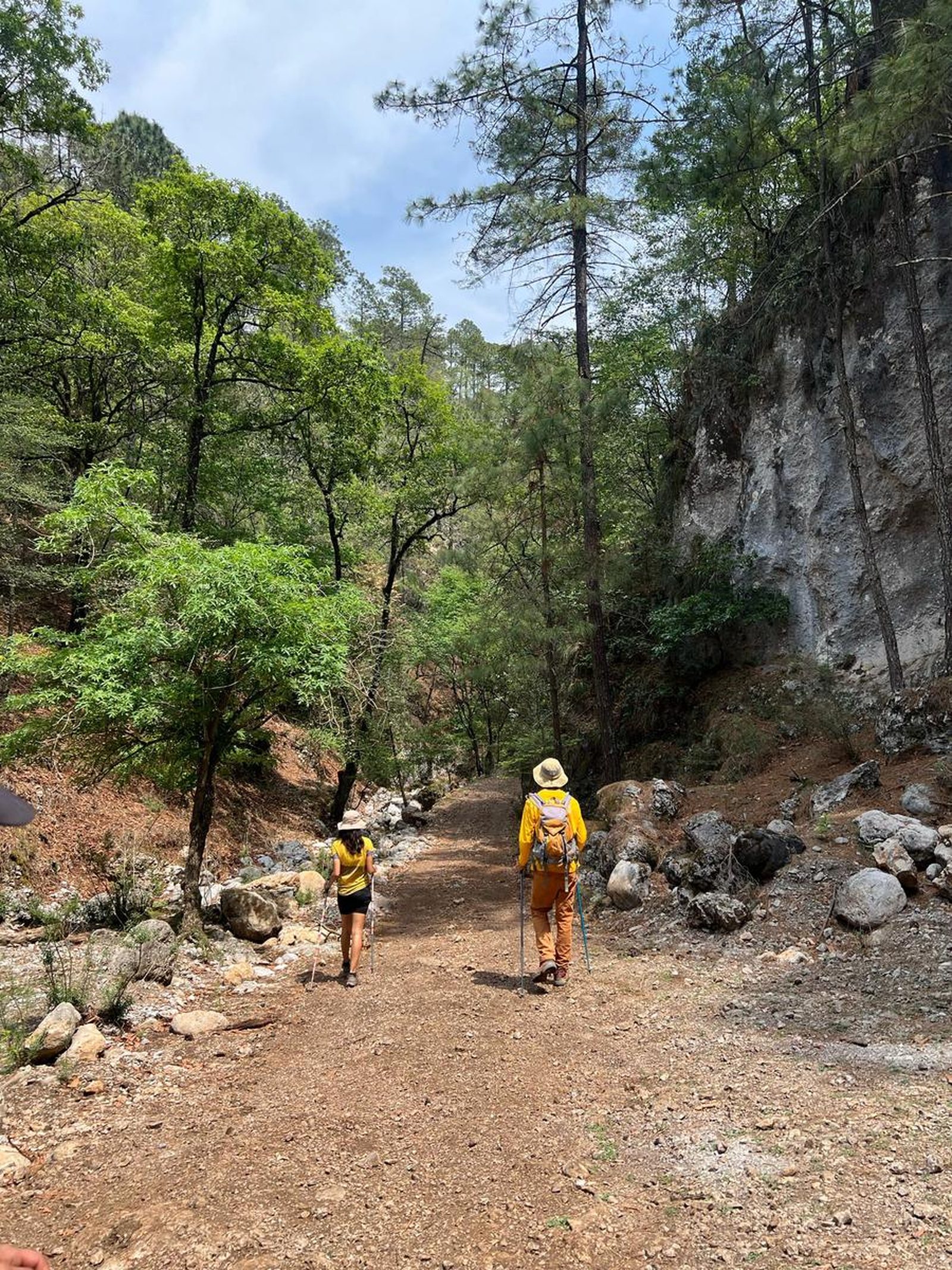
The trail is quite marked, but it's important to keep an eye on the route. All the time it's a wide dirt road.
Recommended Gear
- Hiking sticks - Hands free lamp (mining type) - External battery (PowerBank) - Sunscreen - First aid kit - Thermal blanket
What to Expect on the Trail
i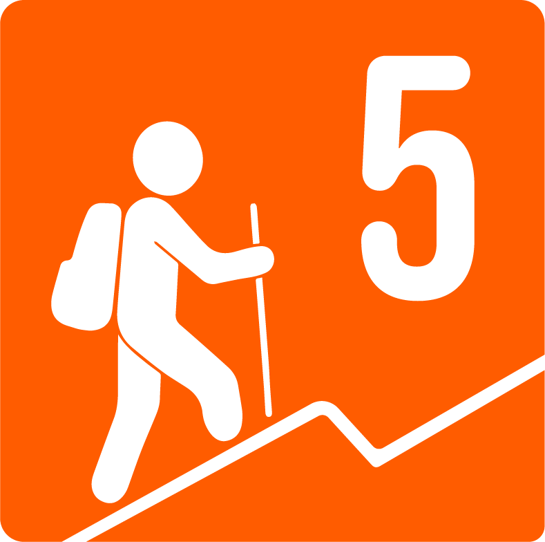
Elevation Gain
1000 m
Total Distance (Out & back)
15.13 km
Total Time
5 h 1 m
Max Elevation
2200 m a.s.l.
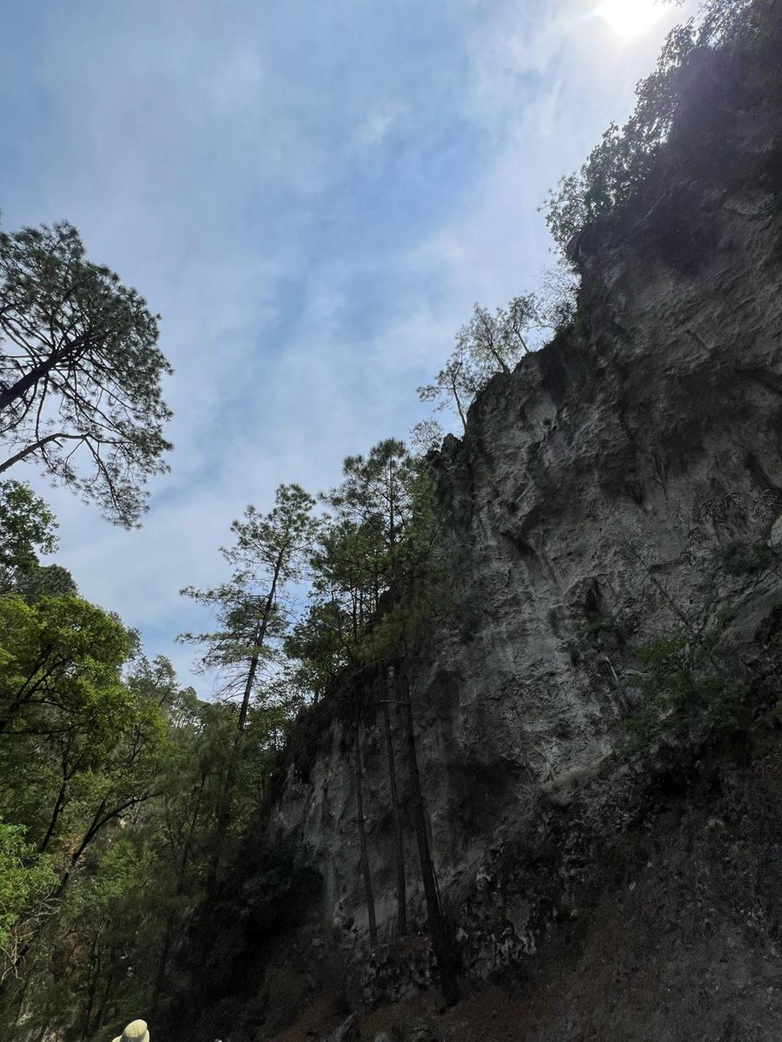
This route has a level 5 physical difficulty based on our difficulty classification metric. This implies that the ascent has between 800-1000 meters of unevenness, it is not a very demanding climb but it is a long one. It is 15 km long and is largely covered by trees that provide a lot of shade, the inclination is very constant throughout the climb.