
Pico Everest
Pico Everest
Sierra del Fraile, ANP Sierra el Fraile y San Miguel, García
1235 m
15.33 km
5 h 7 m
1939 msnm
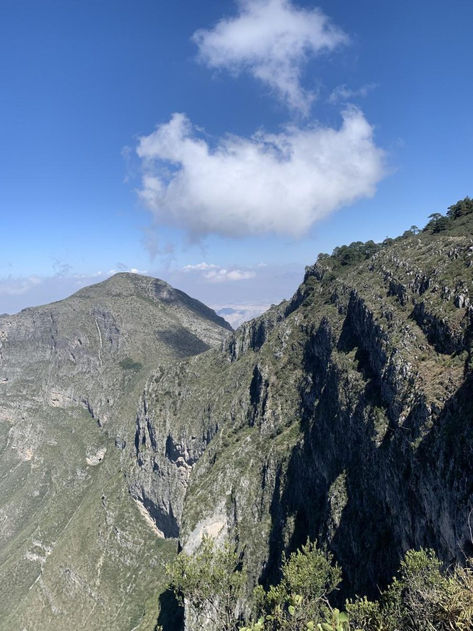
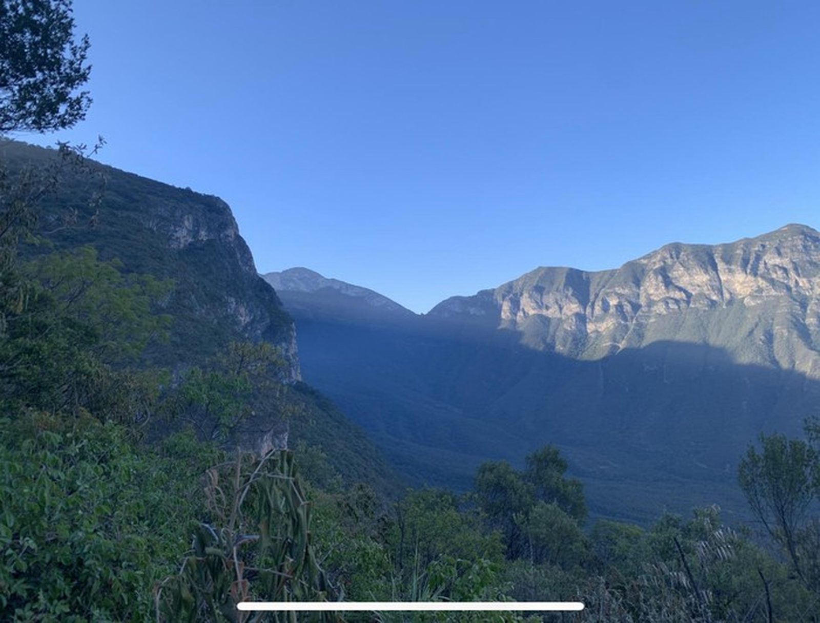
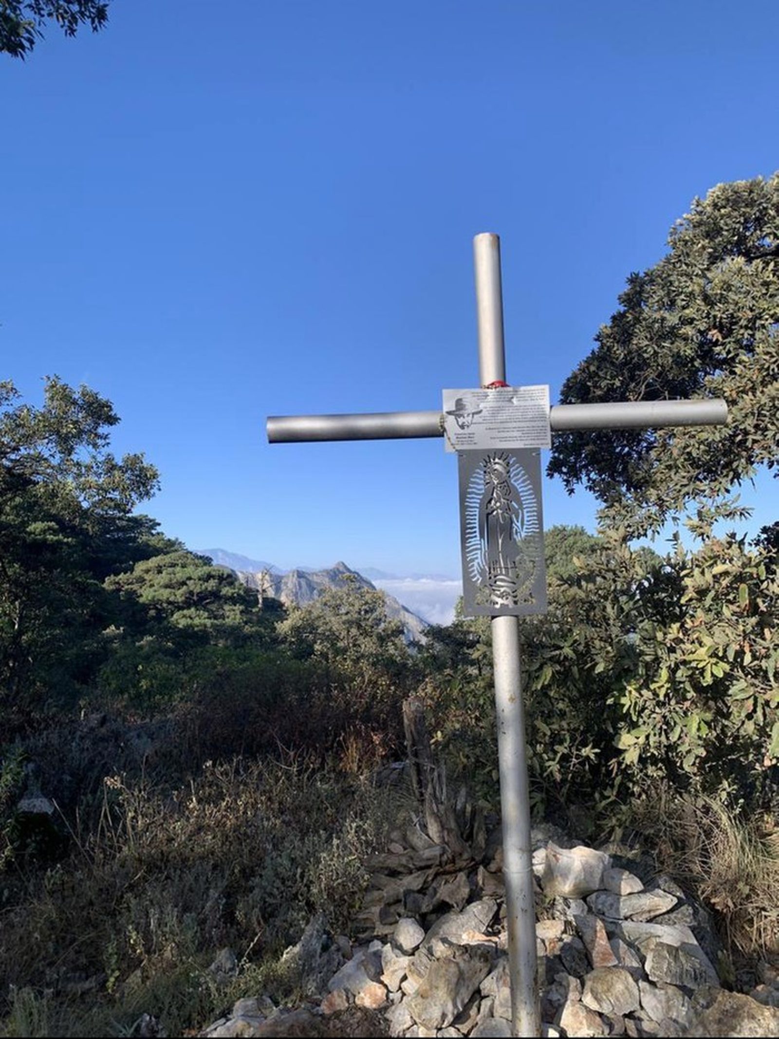
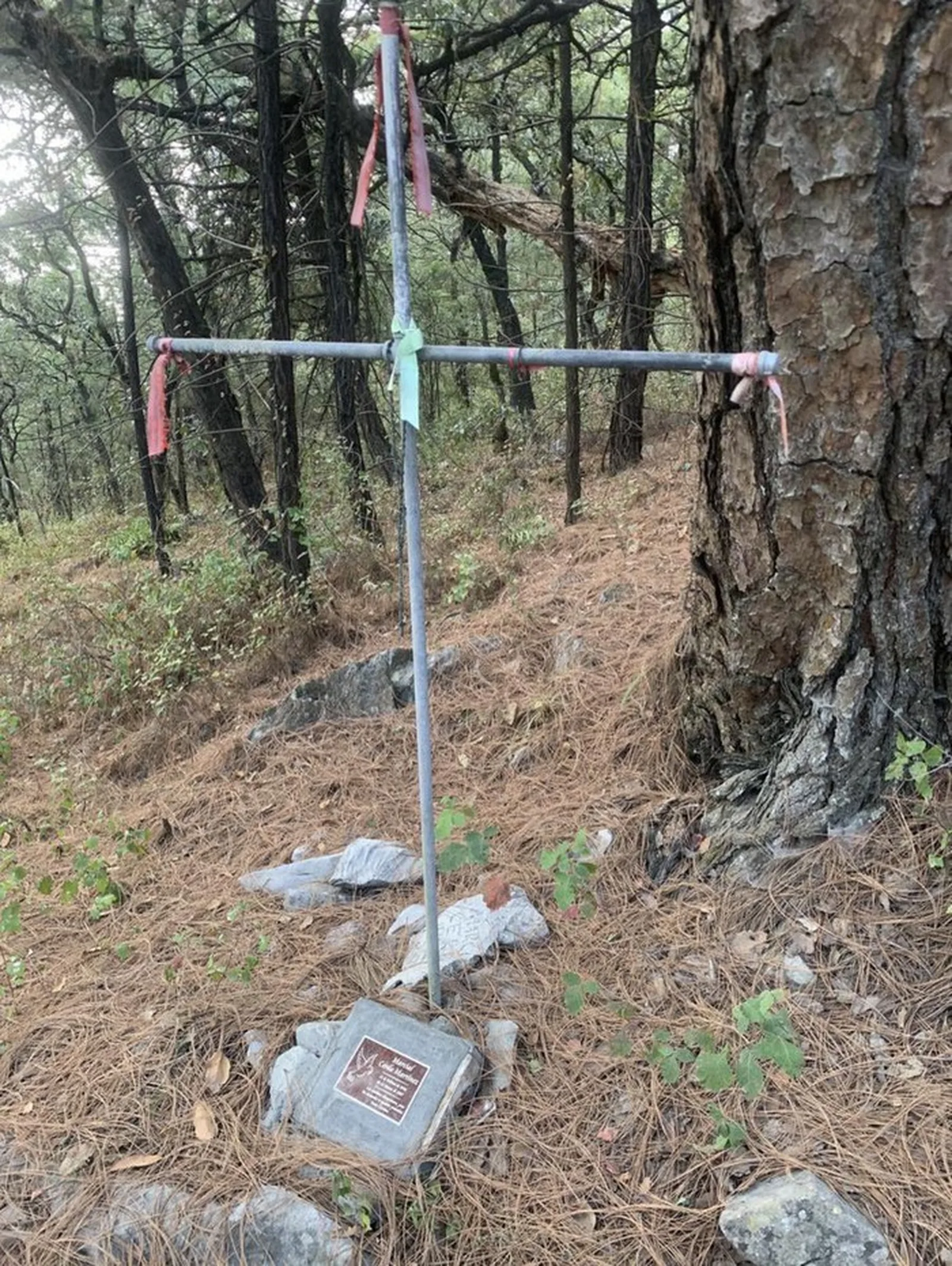
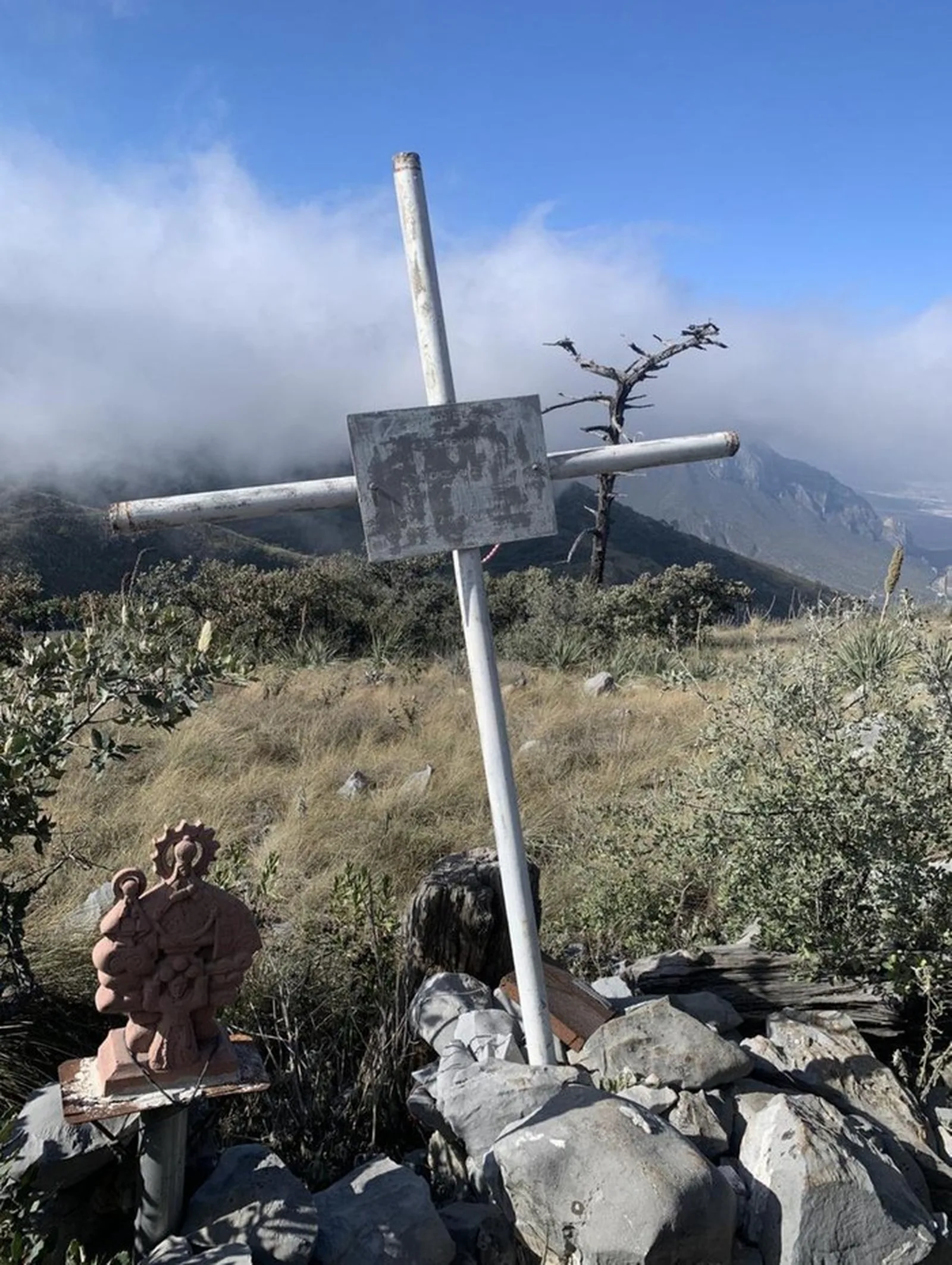
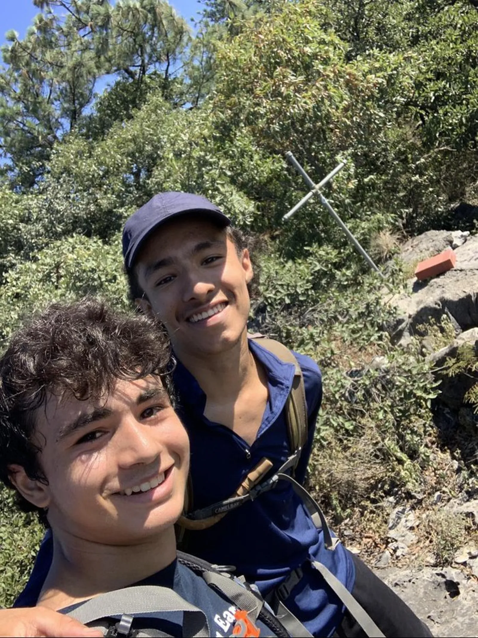
Pico Everest in the Sierra del Fraile — a memorable 15.33 km loop with 1,235 m of elevation gain. Memorials to pioneer hikers and views over Cerro del Sapo.
Warnings


Level
i
Packing List
How to get there
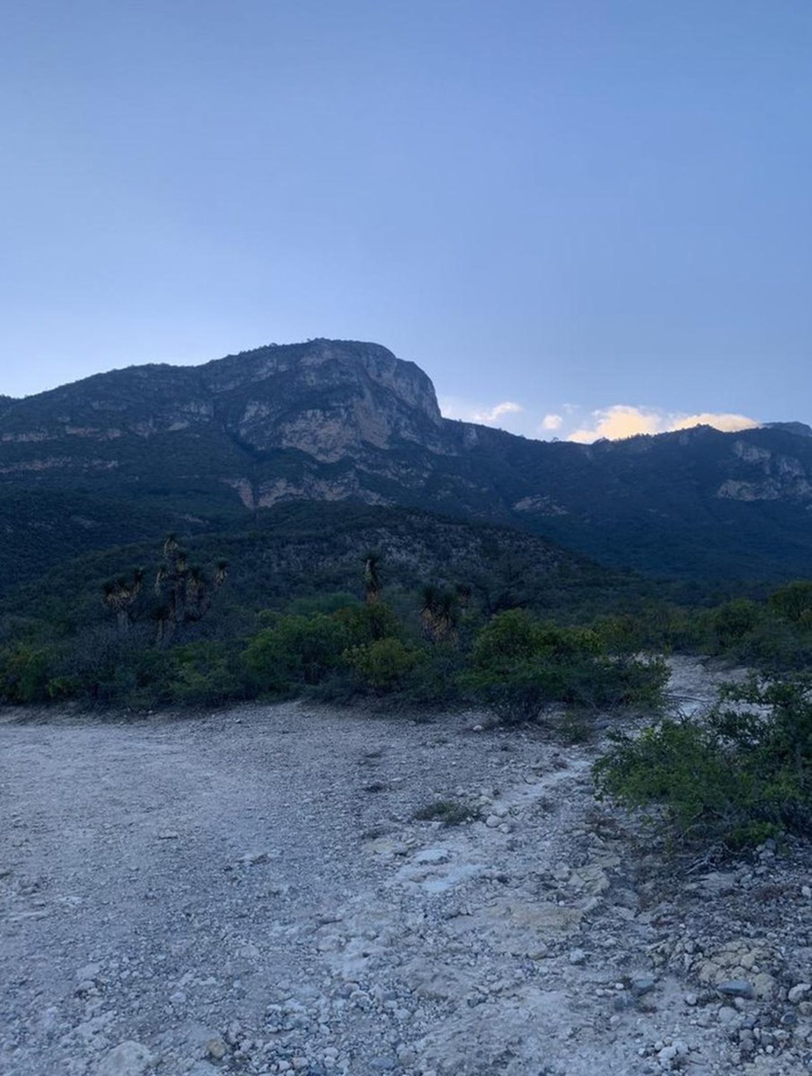
Trailhead Access
The trailhead is inside the Sierra del Fraile, past the entrance to Grutas de García, on a 2.3 km dirt road. From the Grutas parking lot, continue north on a wide, well-maintained dirt road. The road passes a horse-riding center and a large intersection — at the second large intersection, turn right. About 400 m further you'll reach another intersection with a small building where our map is posted.
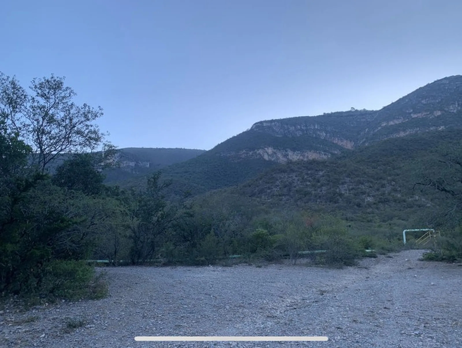
Parking Information
A designated parking area is set next to a Water & Drainage pumping station.
Fees & Park Hours
April 2026: no access fees for this route.
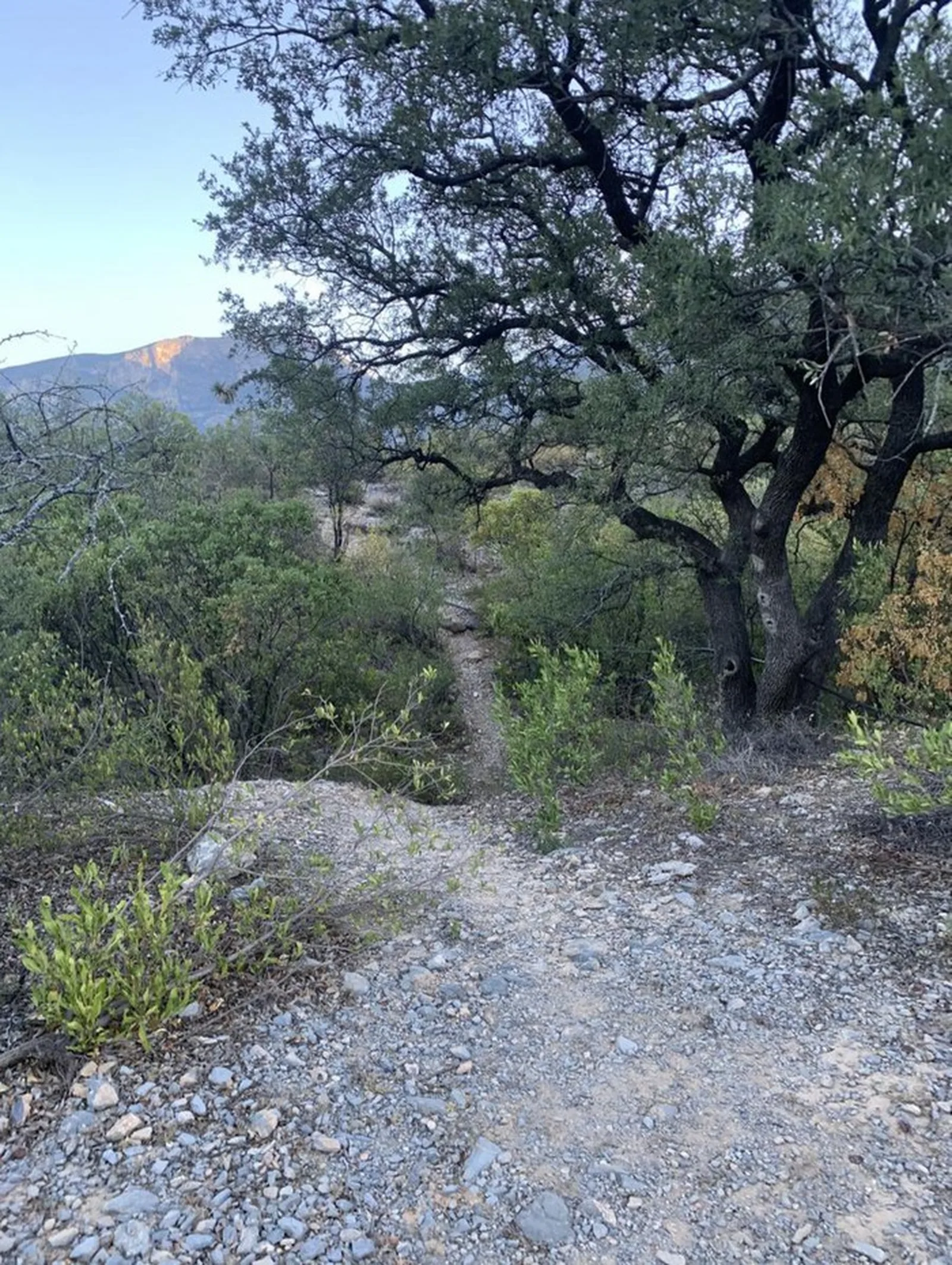
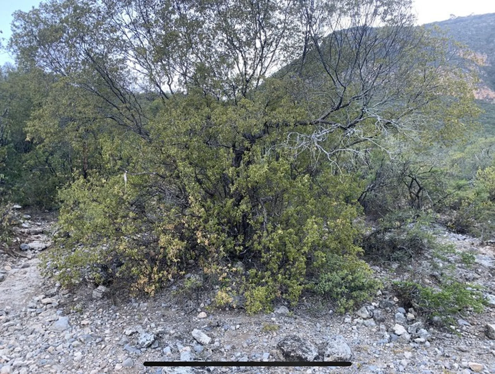
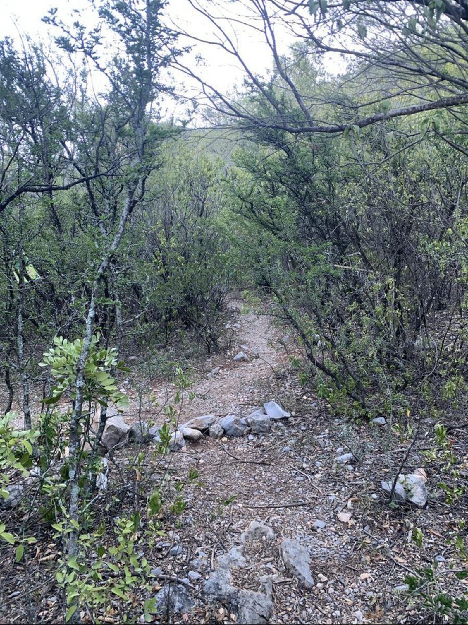
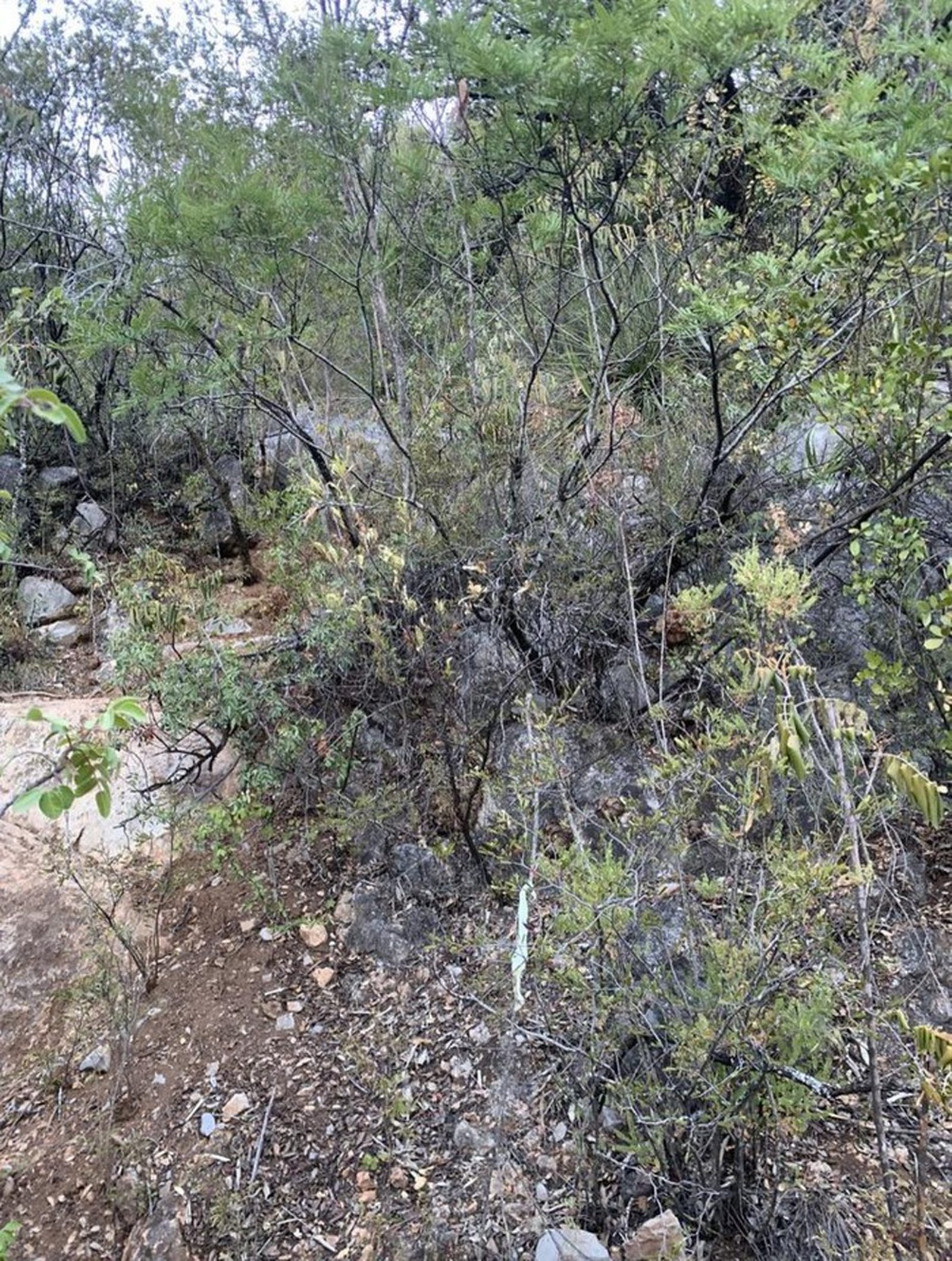
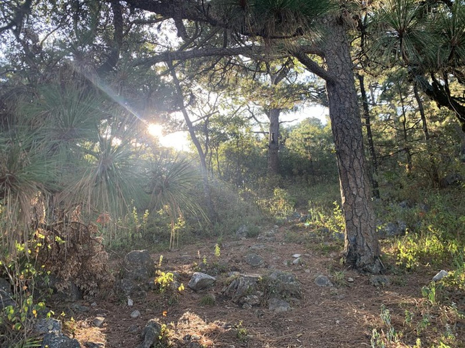
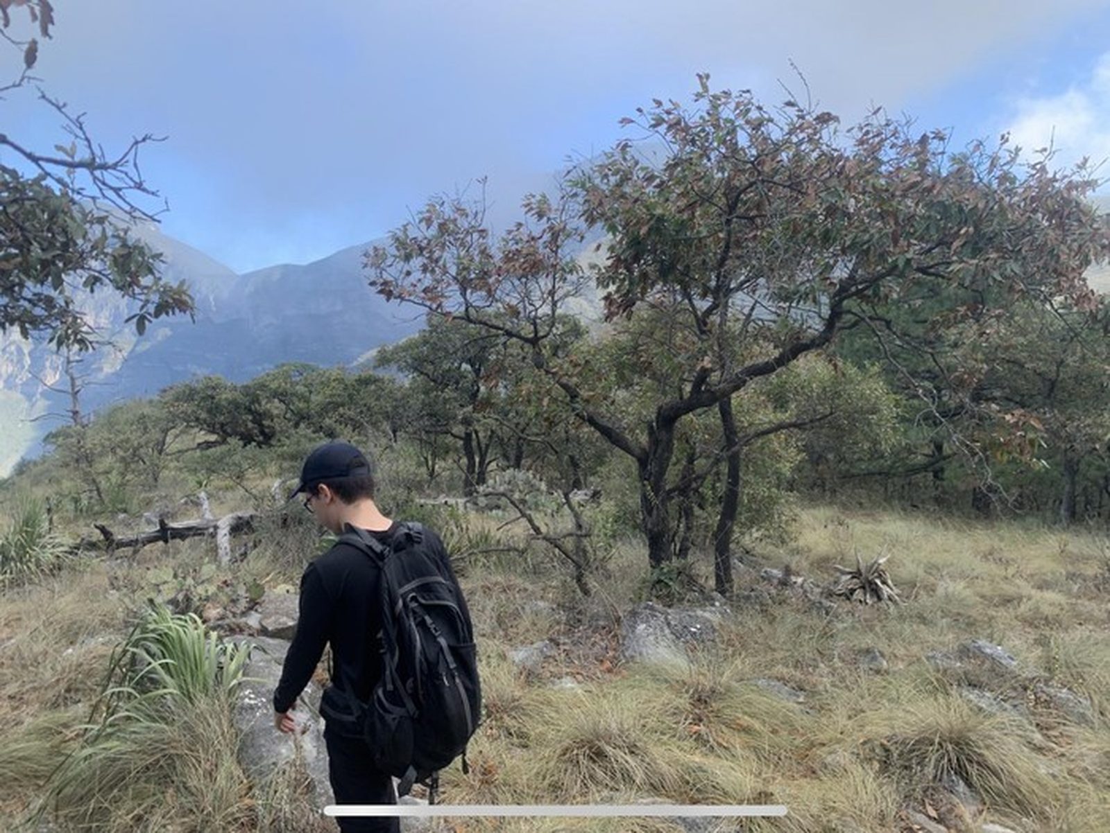
Trail Overview
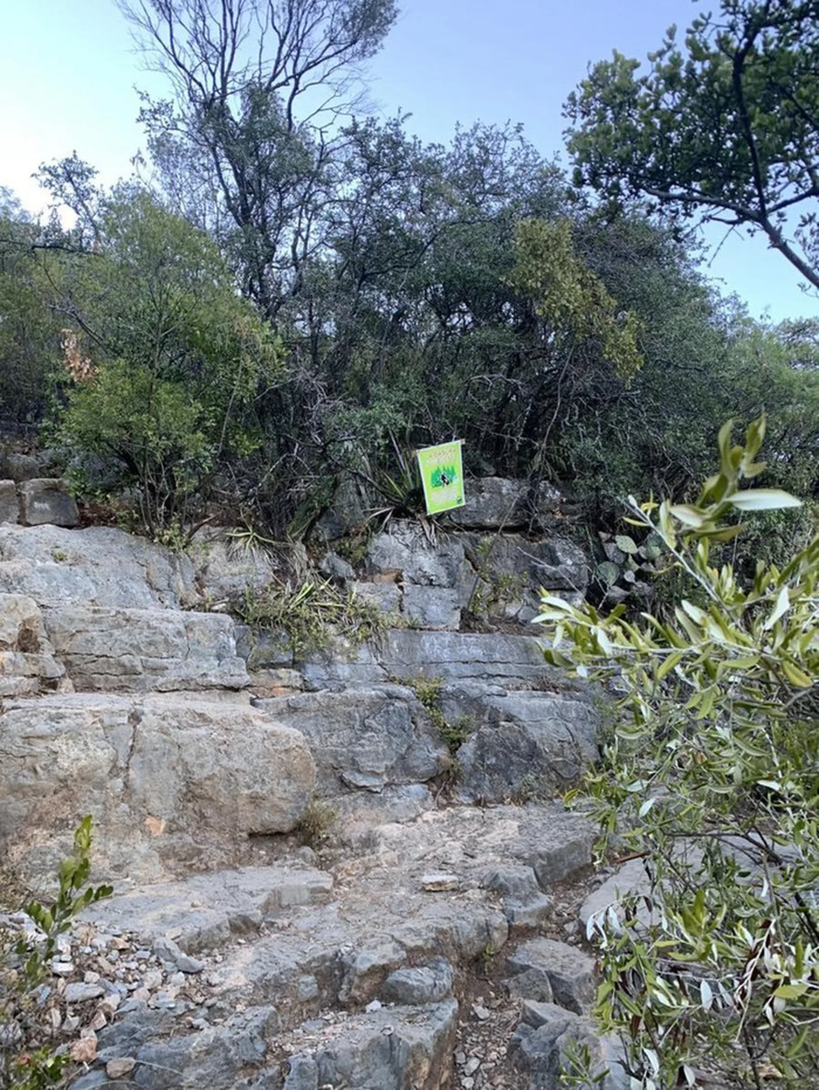
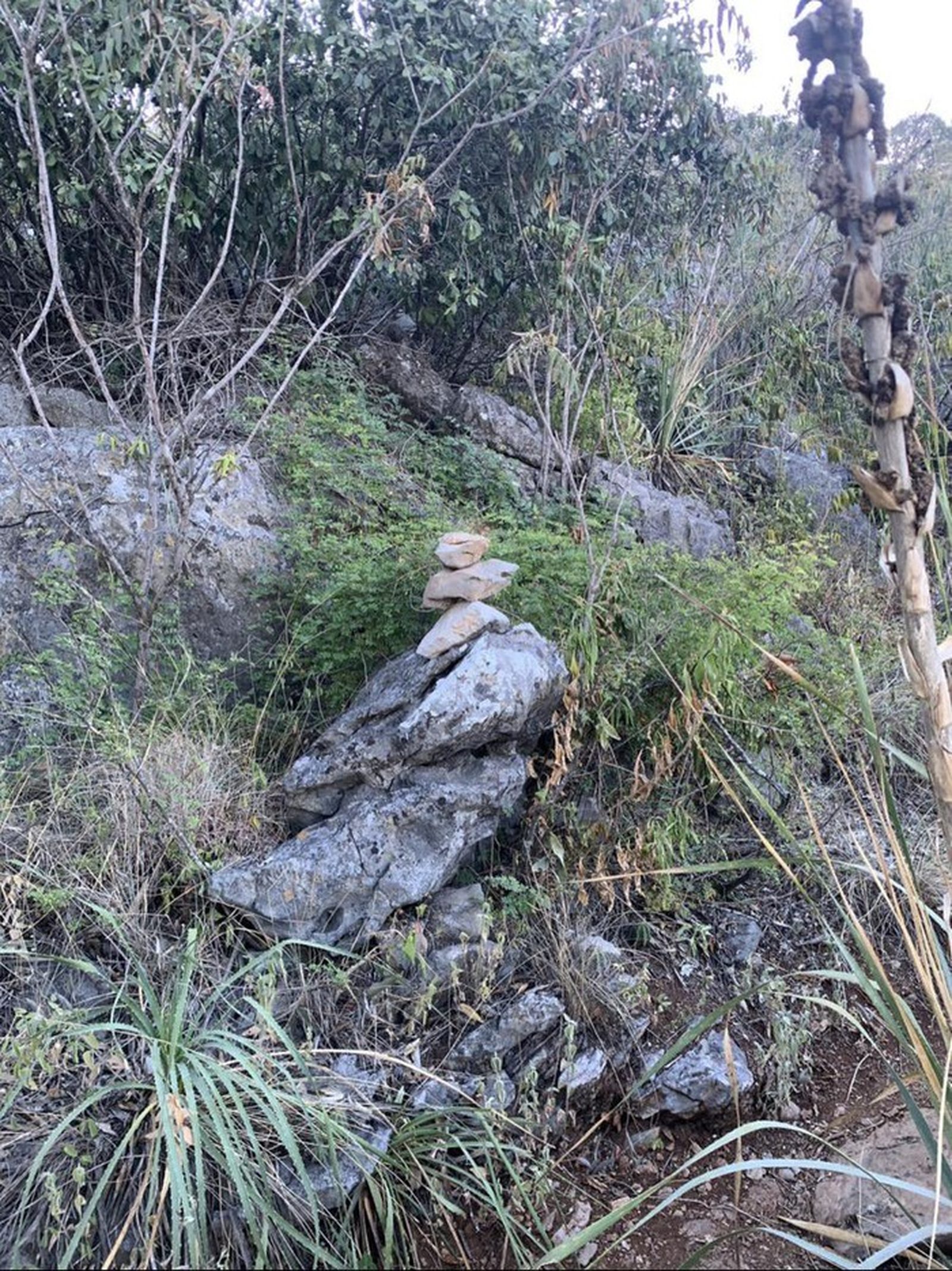
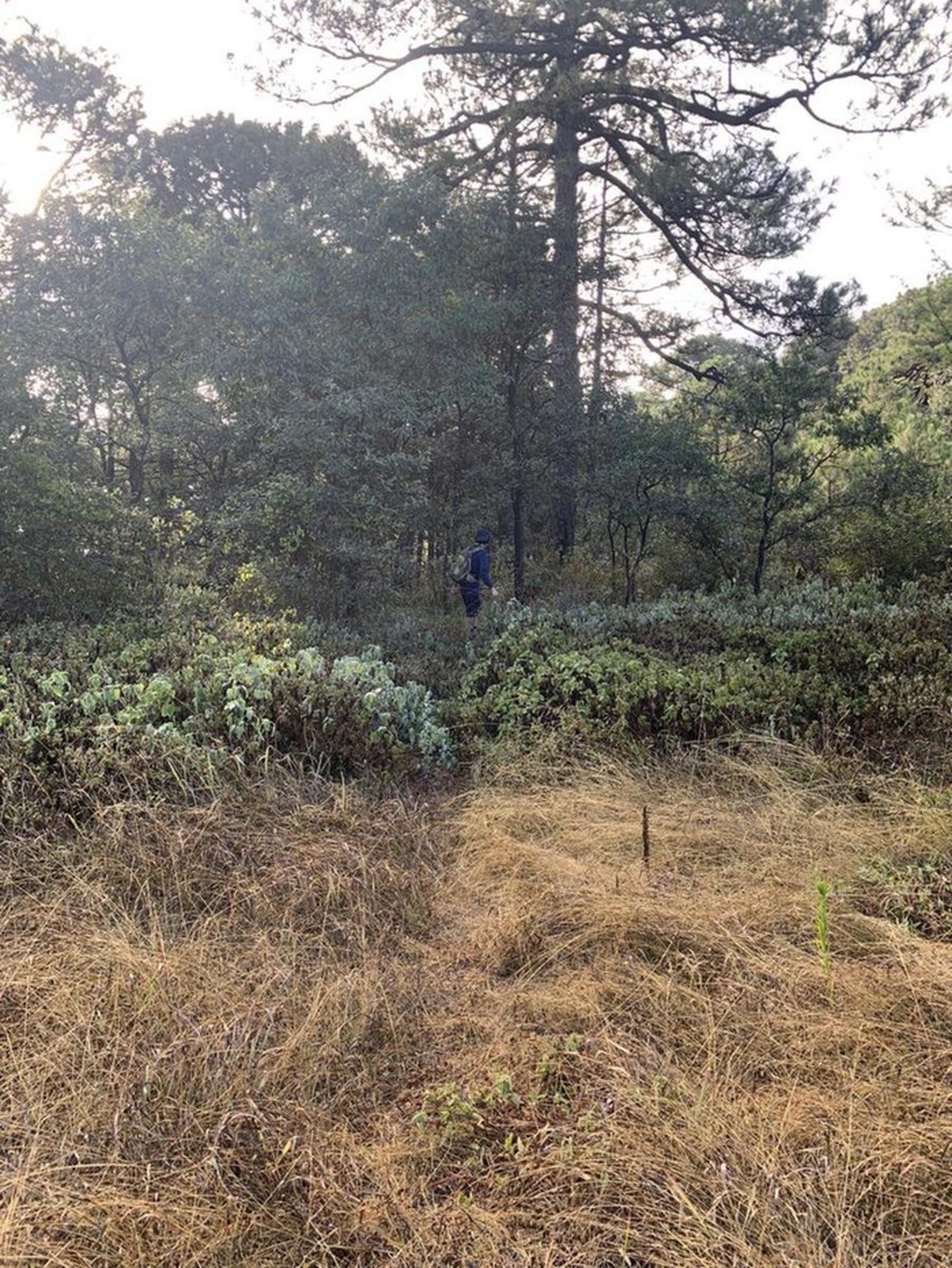
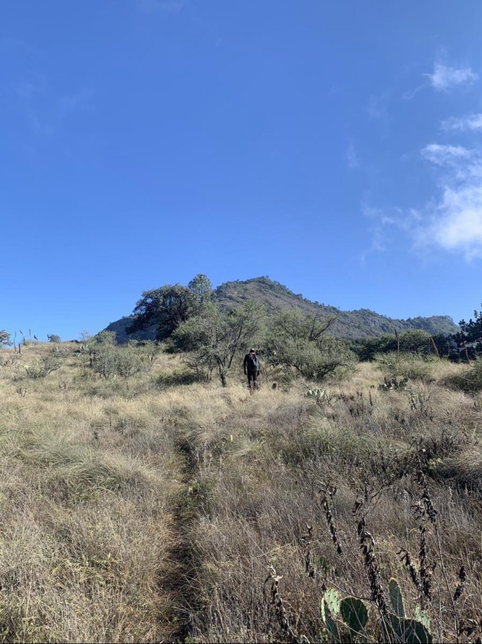
From the start up to "Mesa de Pinos" the trail is completely visible. After the camping area (marked as a waypoint on Wikiloc) and once the forest section ends, the trail becomes harder to follow due to fallen leaves and low foot traffic. Past this section, watch carefully for trail cairns ("monas").
Recommended Gear
Hands-free headlamp (miner-style); hiking poles; emergency blanket; power bank; sunscreen; first-aid kit.
Elevation Gain
1235 m
Total Distance (Out & back)
15.33 km
Total Time
5 h 7 m
Max Elevation
1939 msnm
This route sits at the upper boundary of level 6 — total elevation gain slightly above 1,200 m. The ascent is roughly 7.5 km one-way, totaling just over 15 km round trip.