
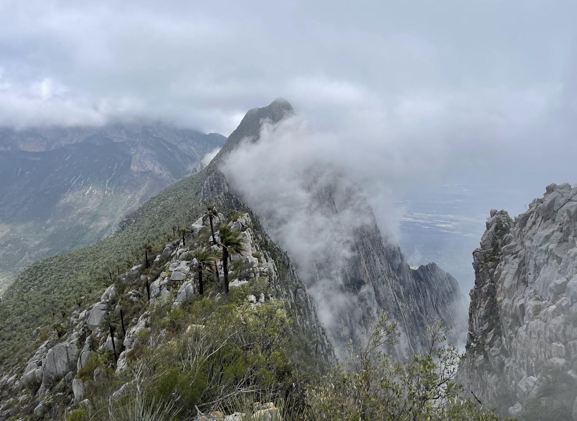
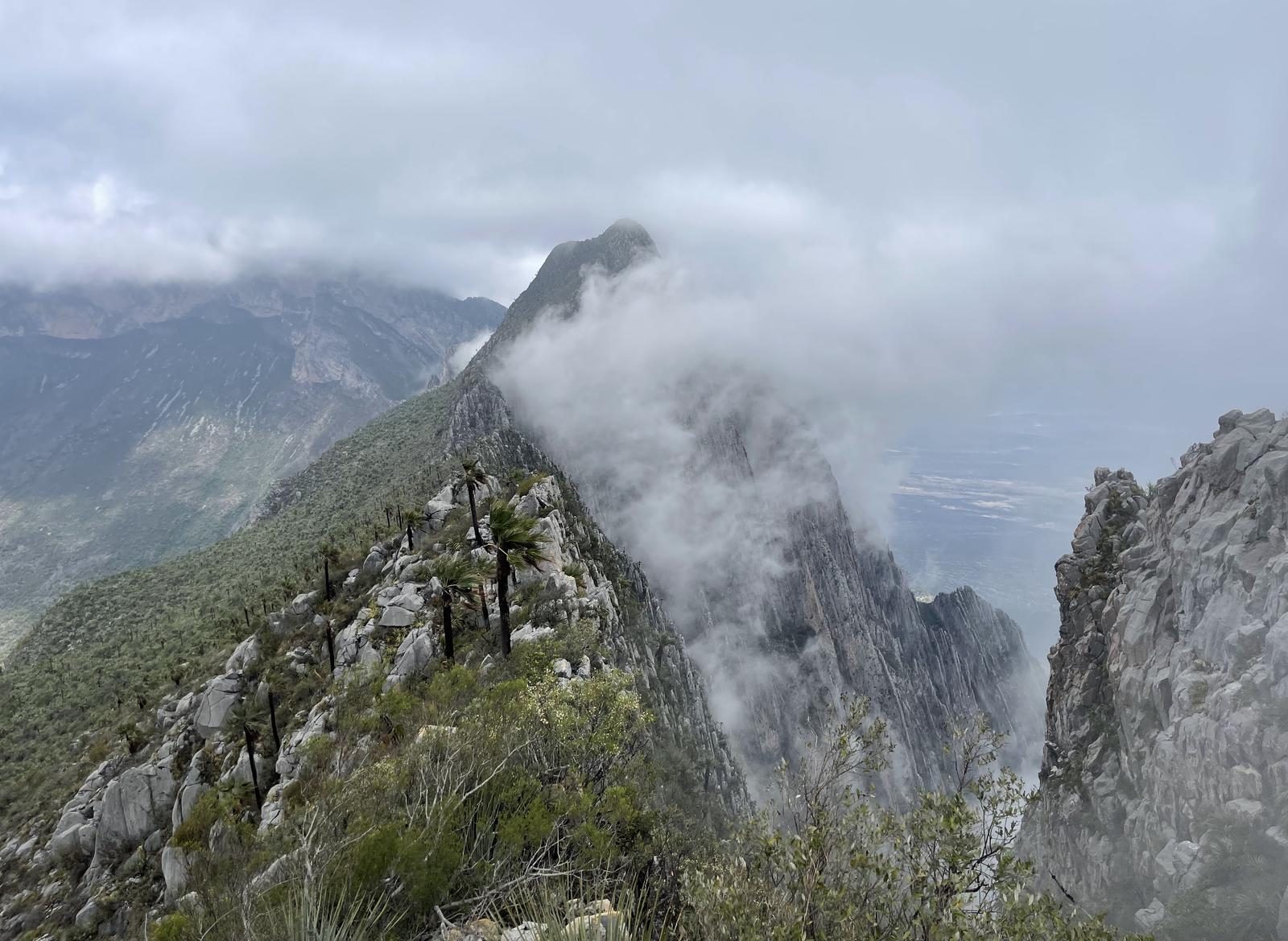
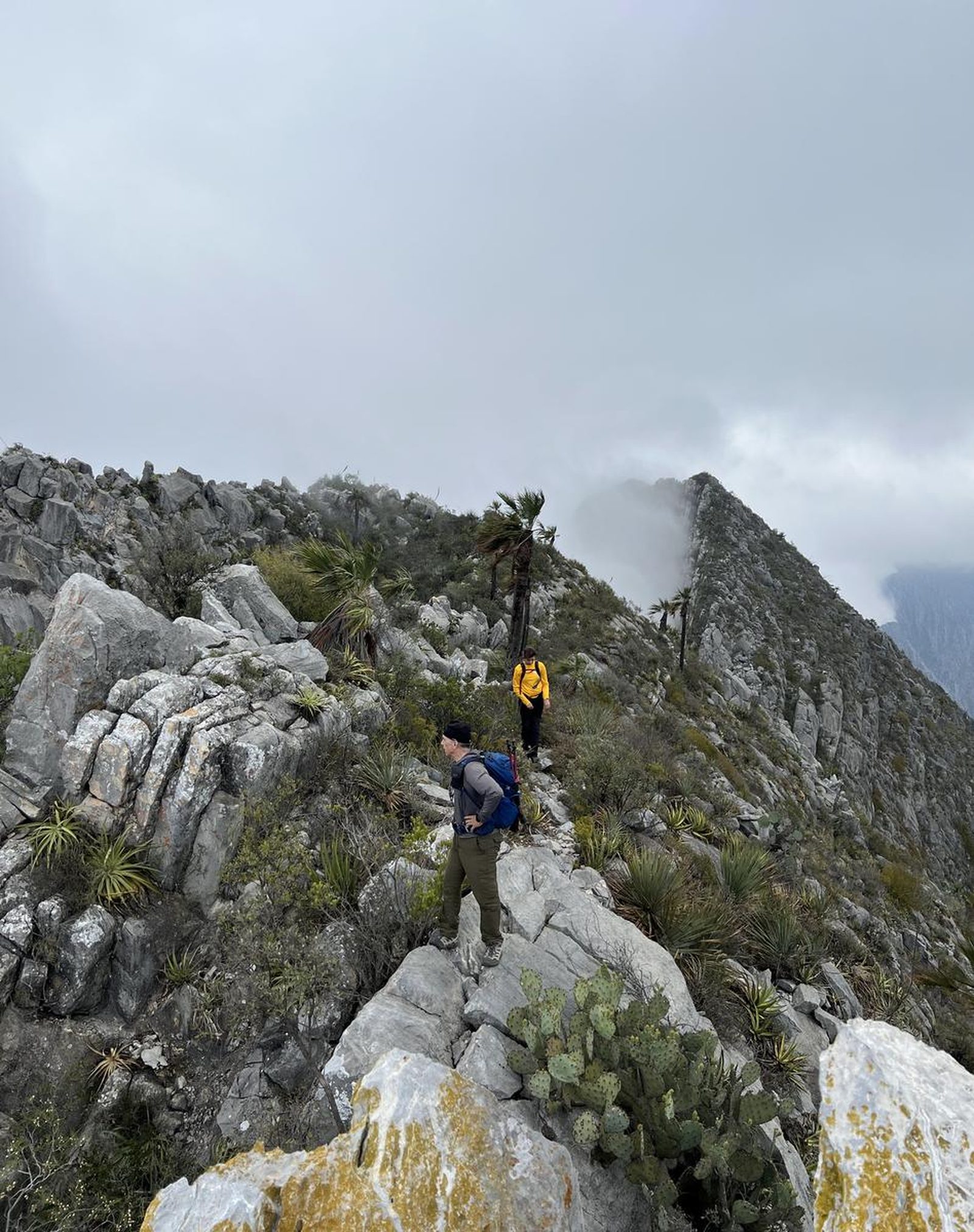
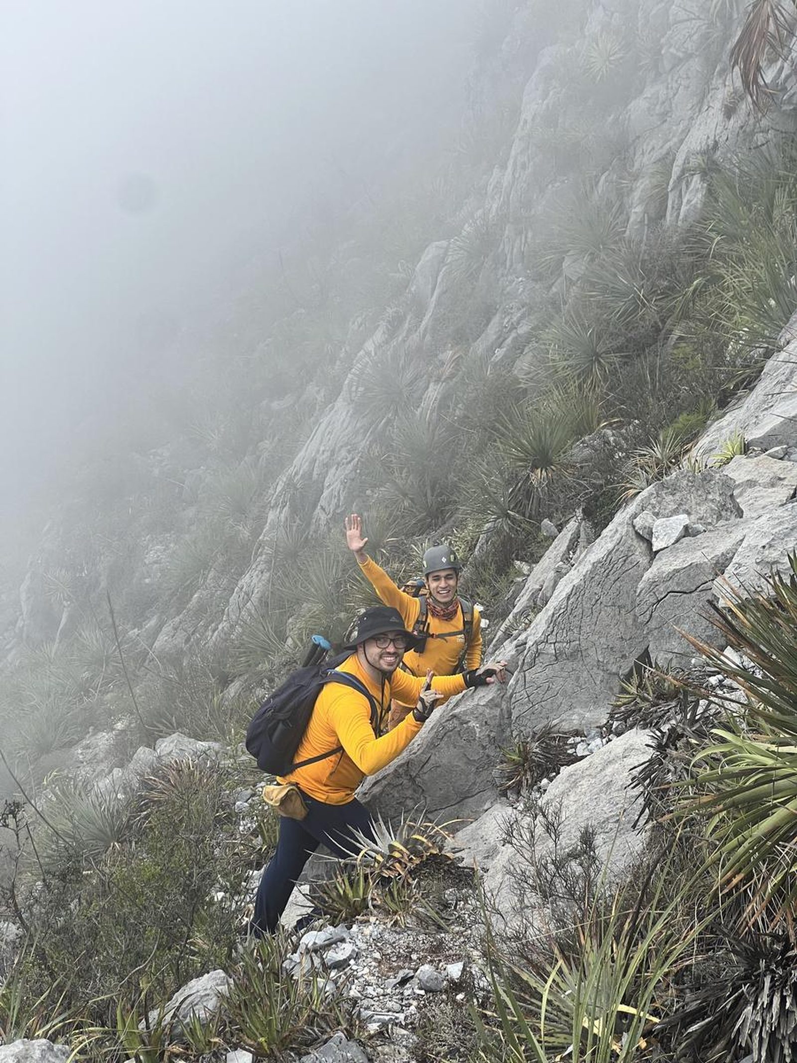
Pico Viatores, Hidalgo
Potrero Chico
- Elevation gain
- 3051 ft
- Distance
- 4.0 mi
- Time
- 2 h 58 m
- Altitude
- 5305 ft
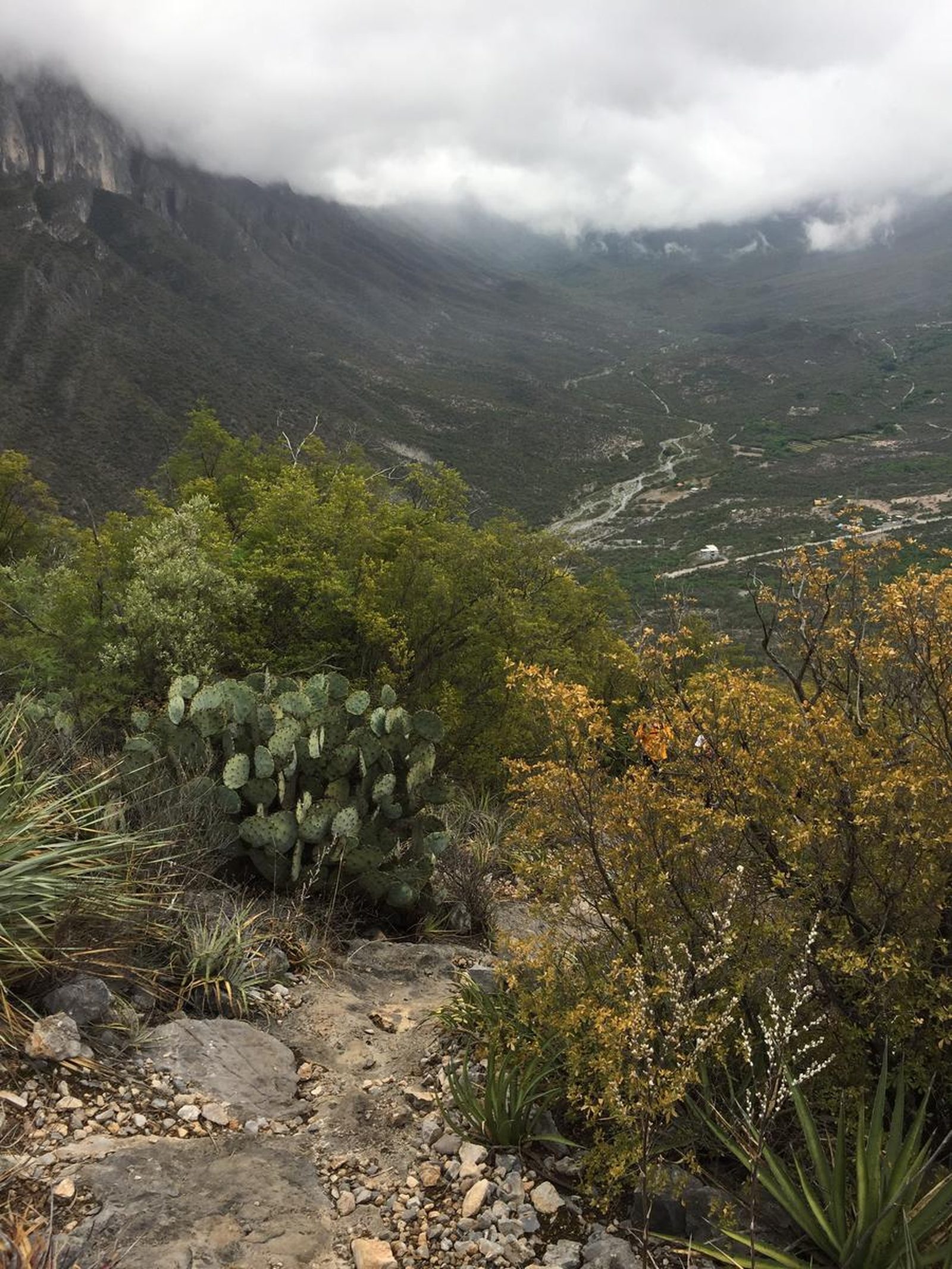
You are inside the “Potrero Chico” Recreational Park, which is located in the confines of the protected natural area “Sierra del Fraile and San Miguel”.
📢 Alerts & Updates
Route with a lot of sun exposure; avoid summer.
Warnings

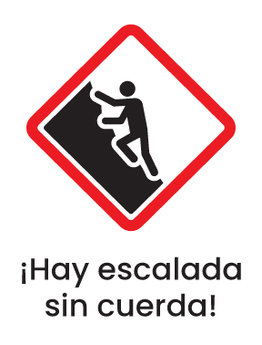

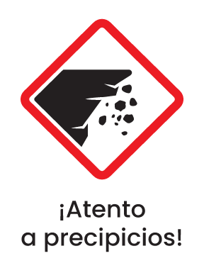
Level
i
Packing List
How to get there
Trailhead Access
The “Potrero Chico” Recreational Park is located north of the city of Monterrey, in the municipality of Hidalgo, approximately 1 hour and a half from the metropolitan area. To get there, it is advisable to take Gonzalitos Avenue and drive north to Fidel Velázquez Avenue, then turn onto Barragán Avenue, then take the Monterrey - Laredo highway and finally take the Monclova highway to the town of Hidalgo, where the “Old Road to Potrero Chico” leads to the mythical State Park, which is one of the most internationally recognized climbing spots in the world.
Parking Information
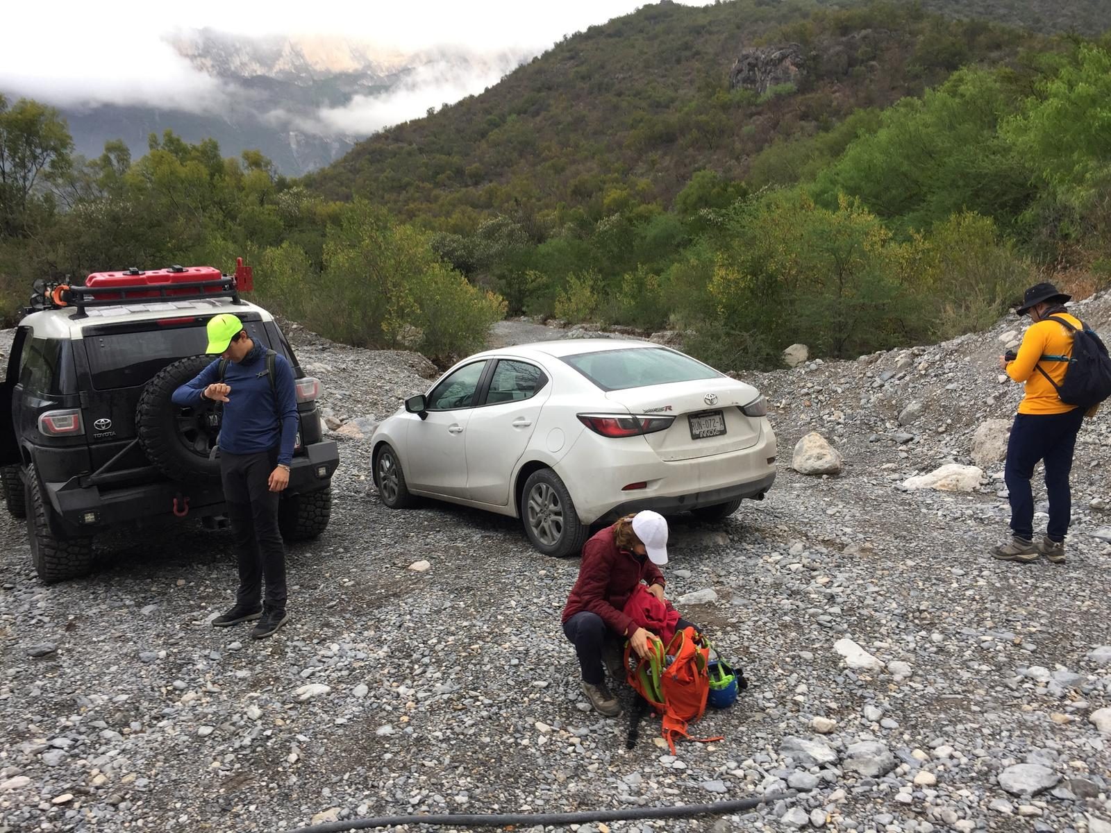
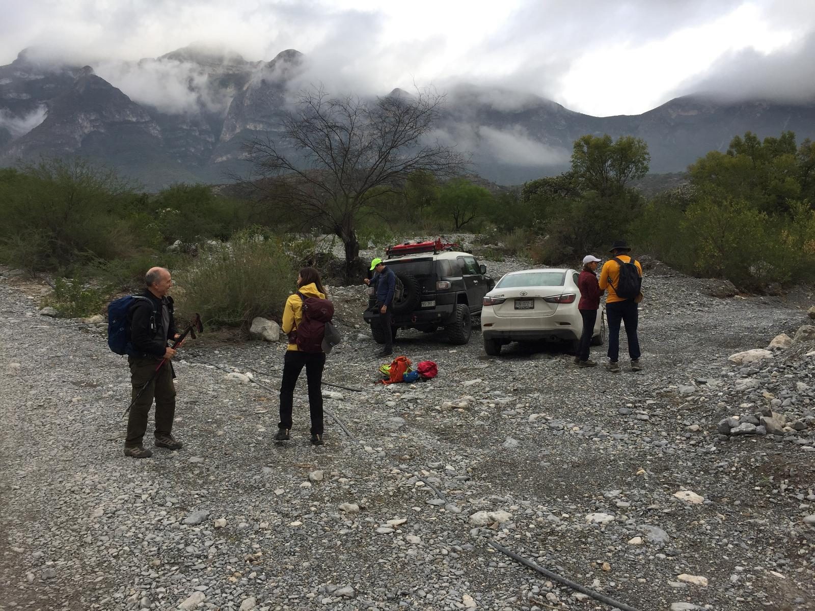
There is no delimited parking for this route, however, it is recommended to park on the sides of the main dirt road, however, without obstructing the main road or entrances to private properties.
Fees & Park Hours
No cost
Trail Overview
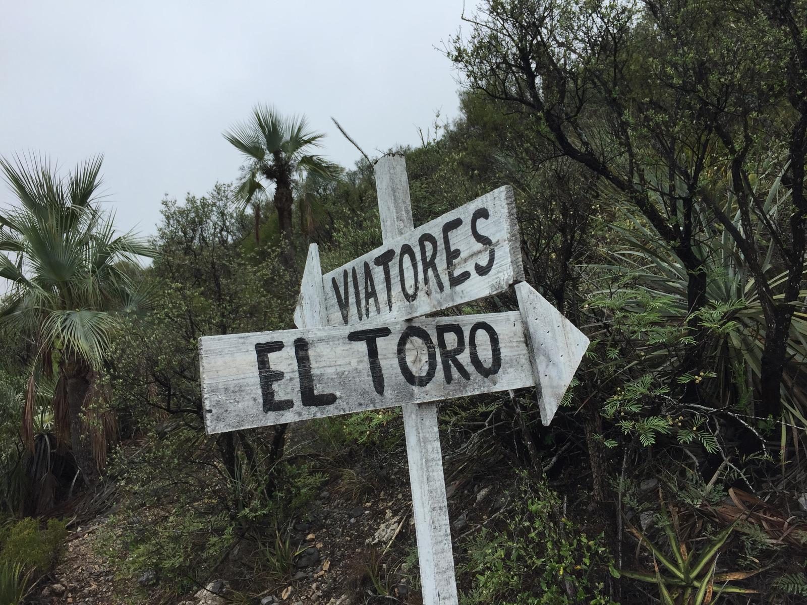
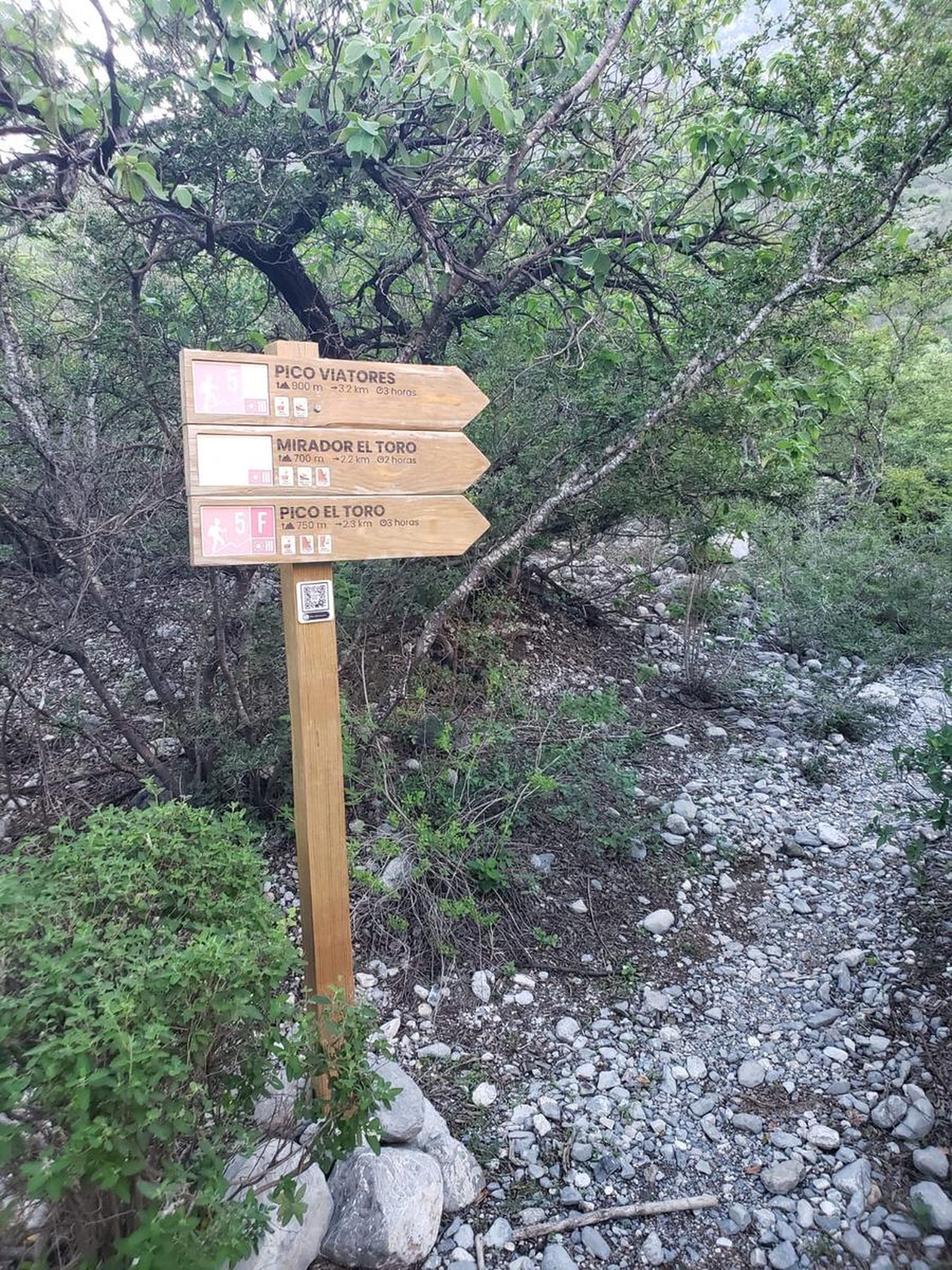
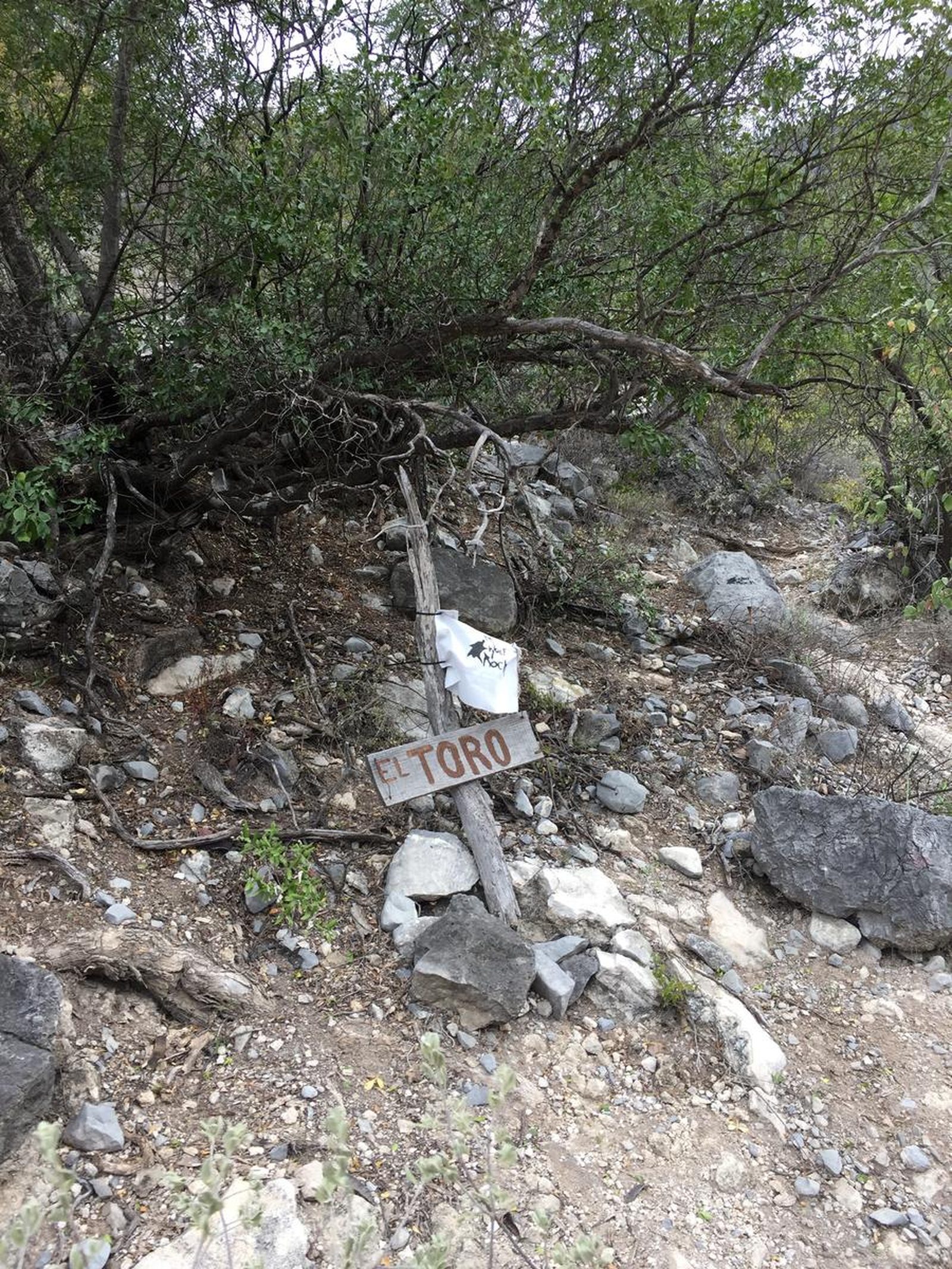
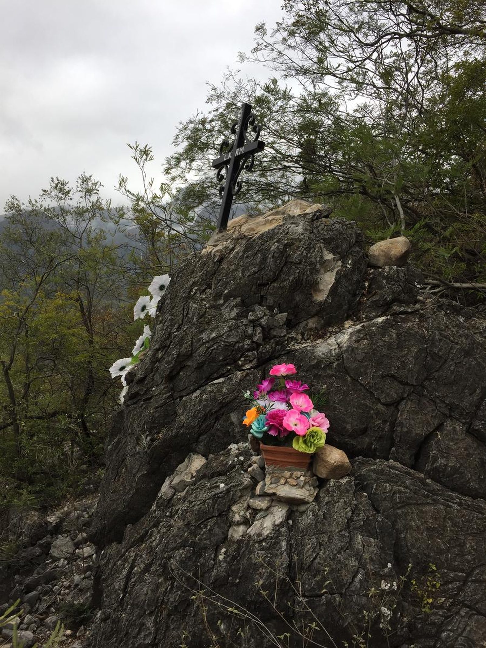
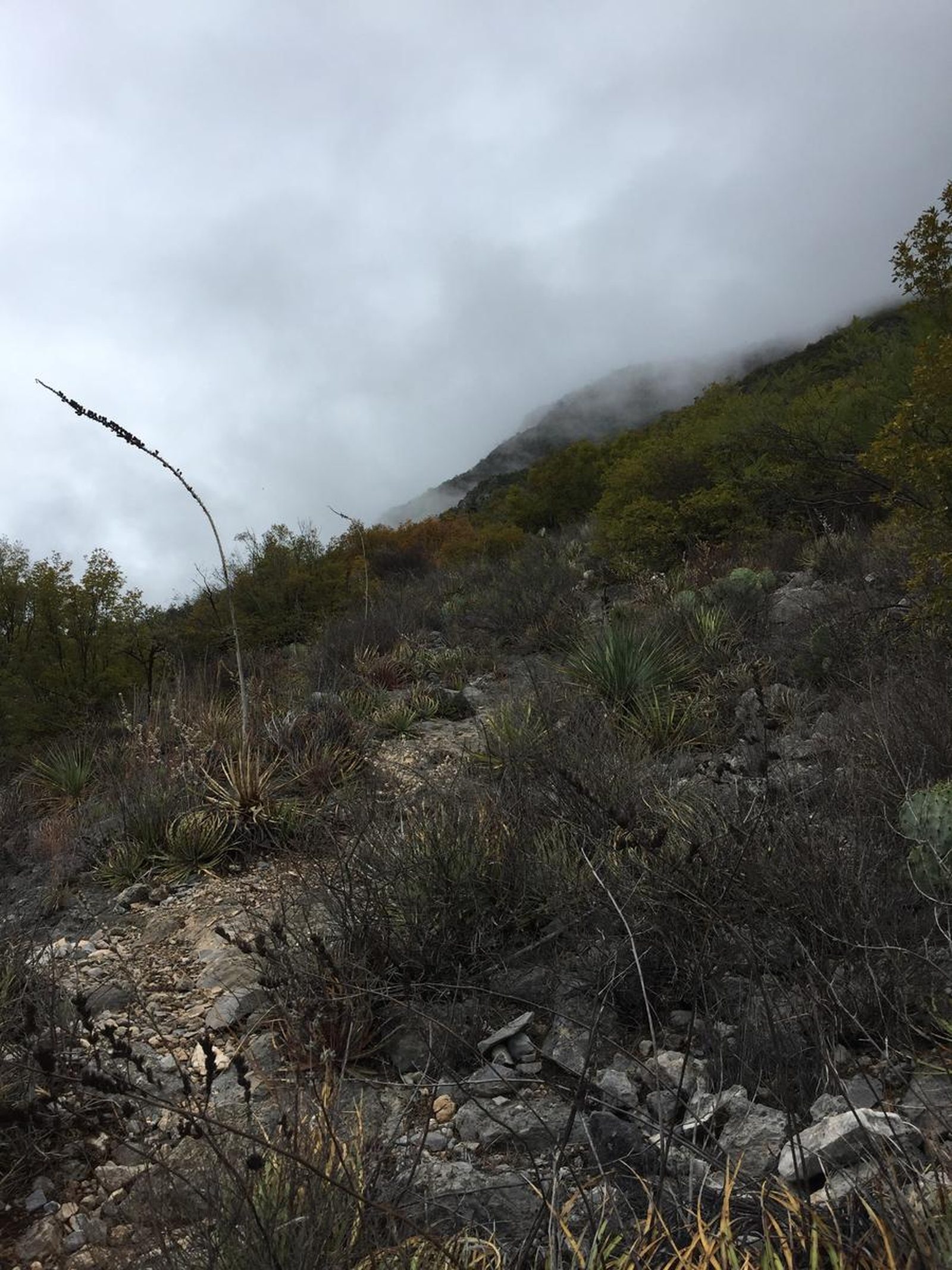
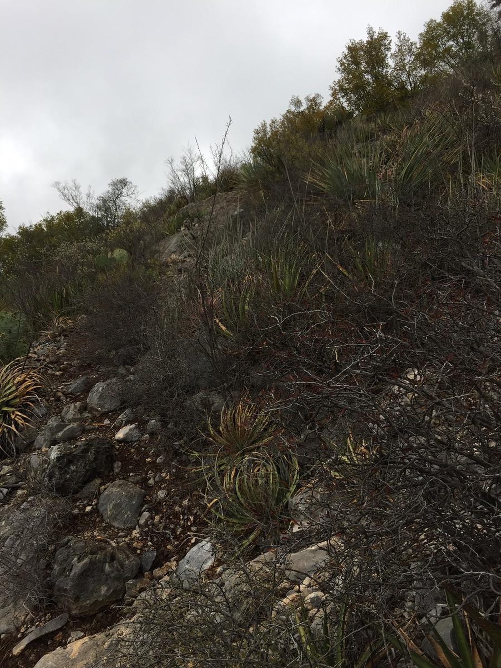
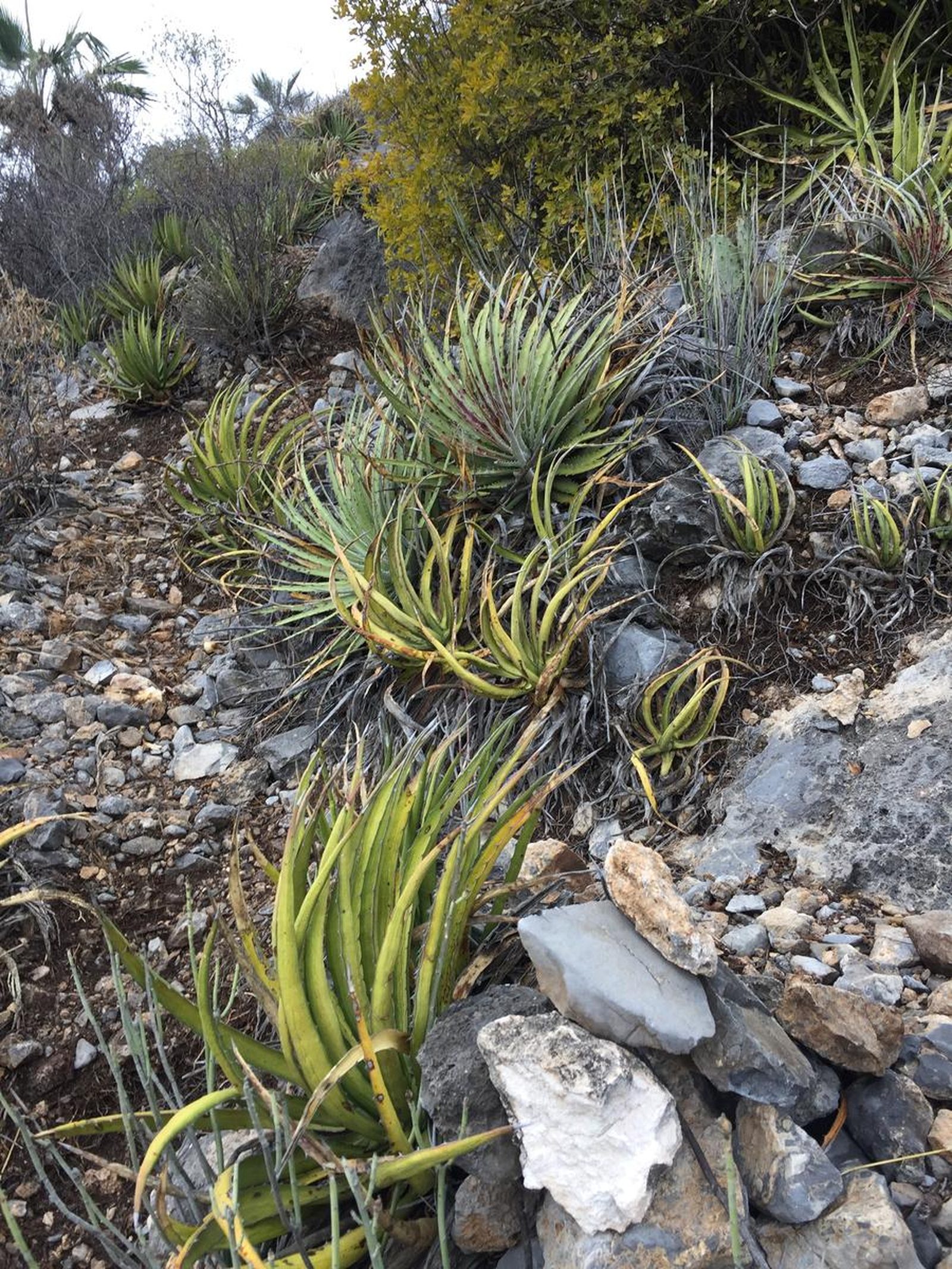
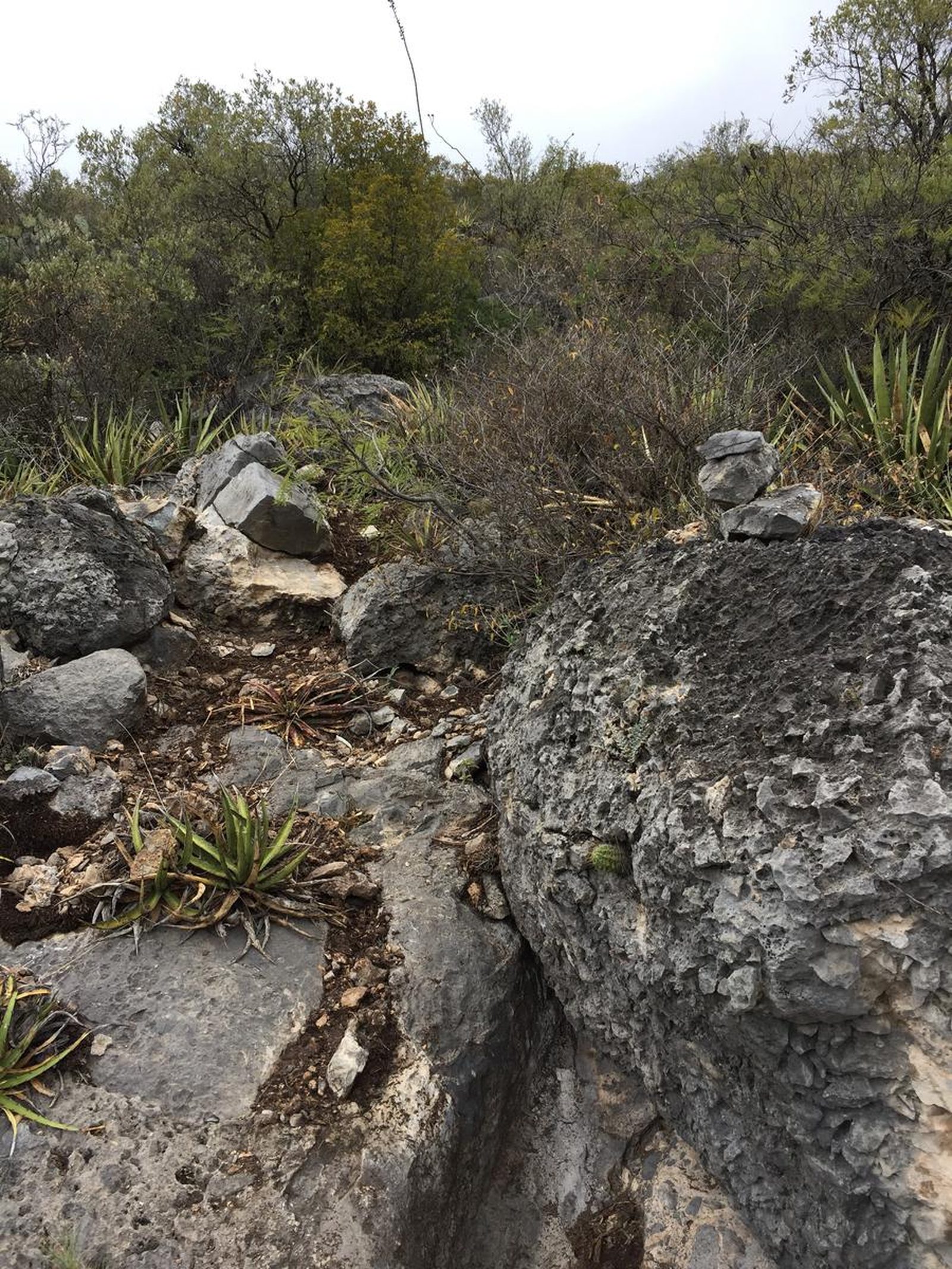
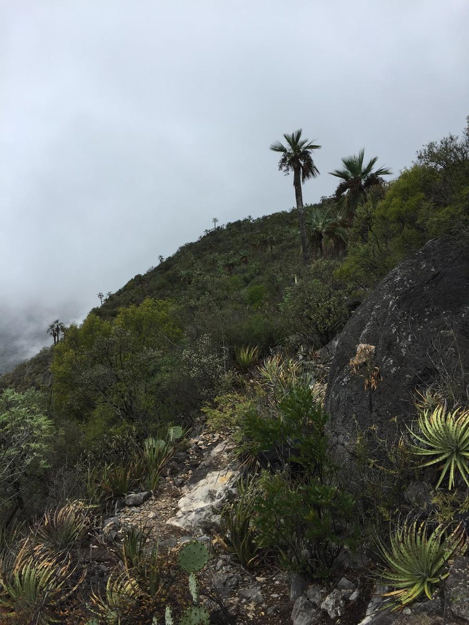
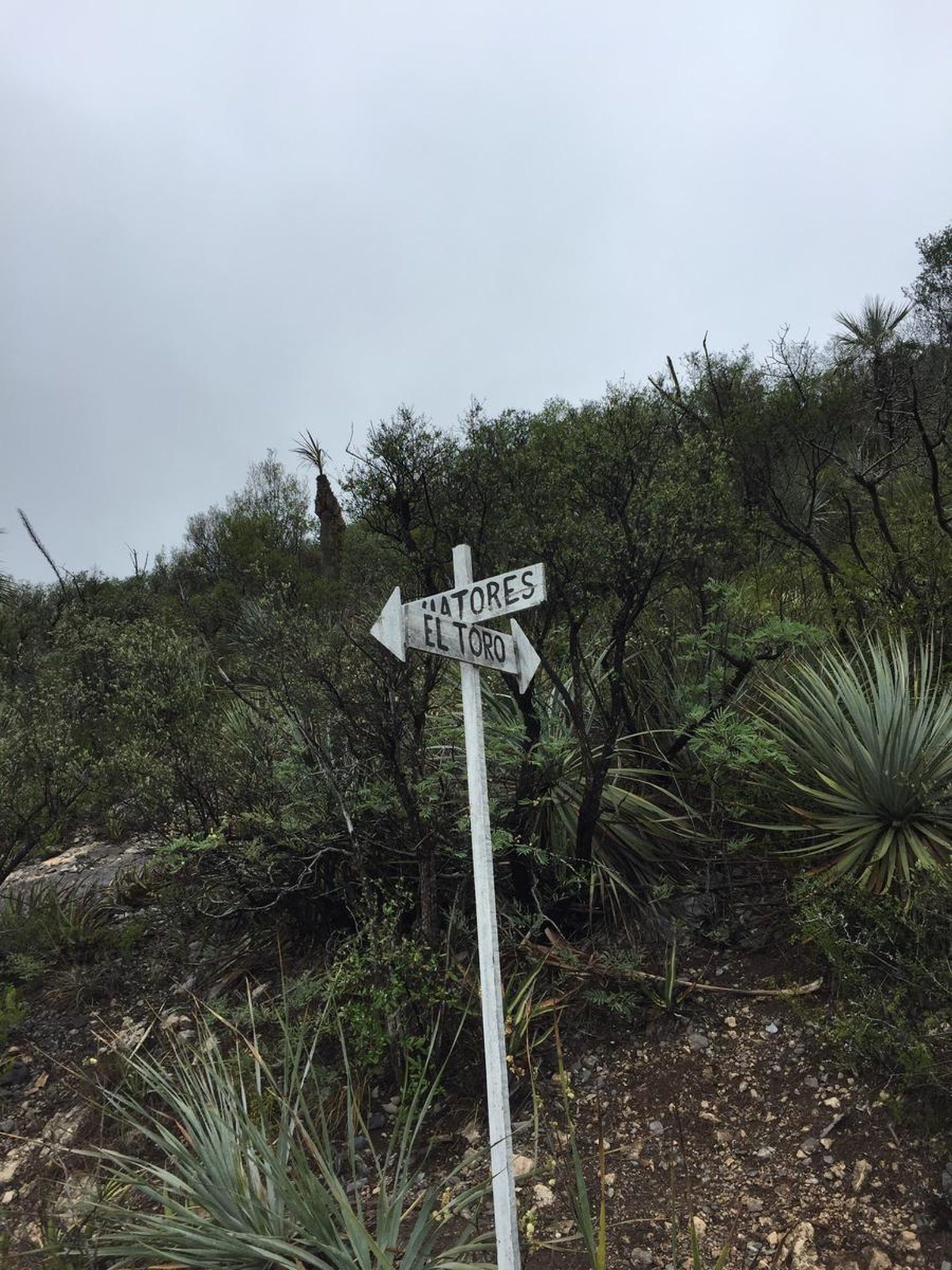
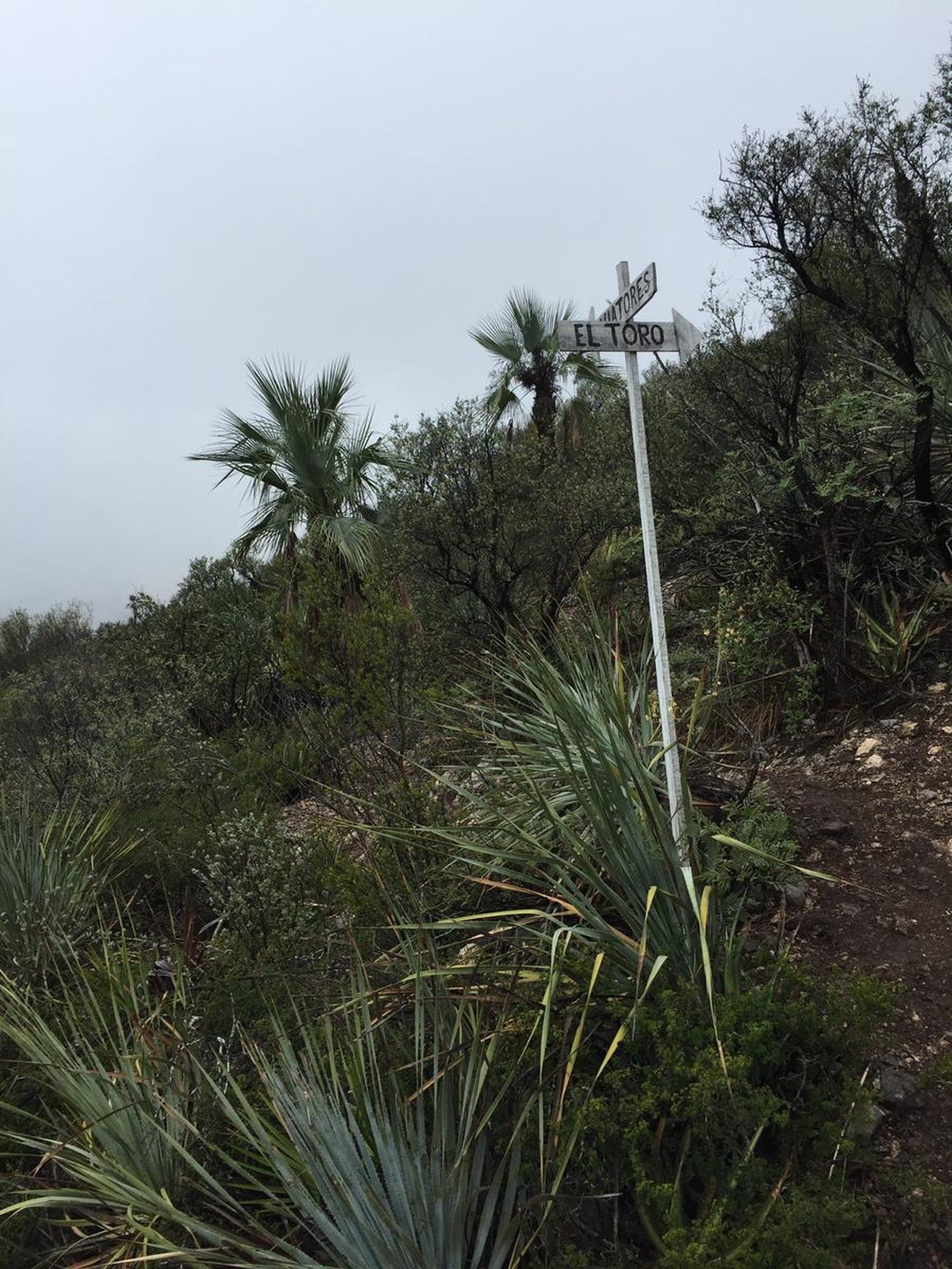
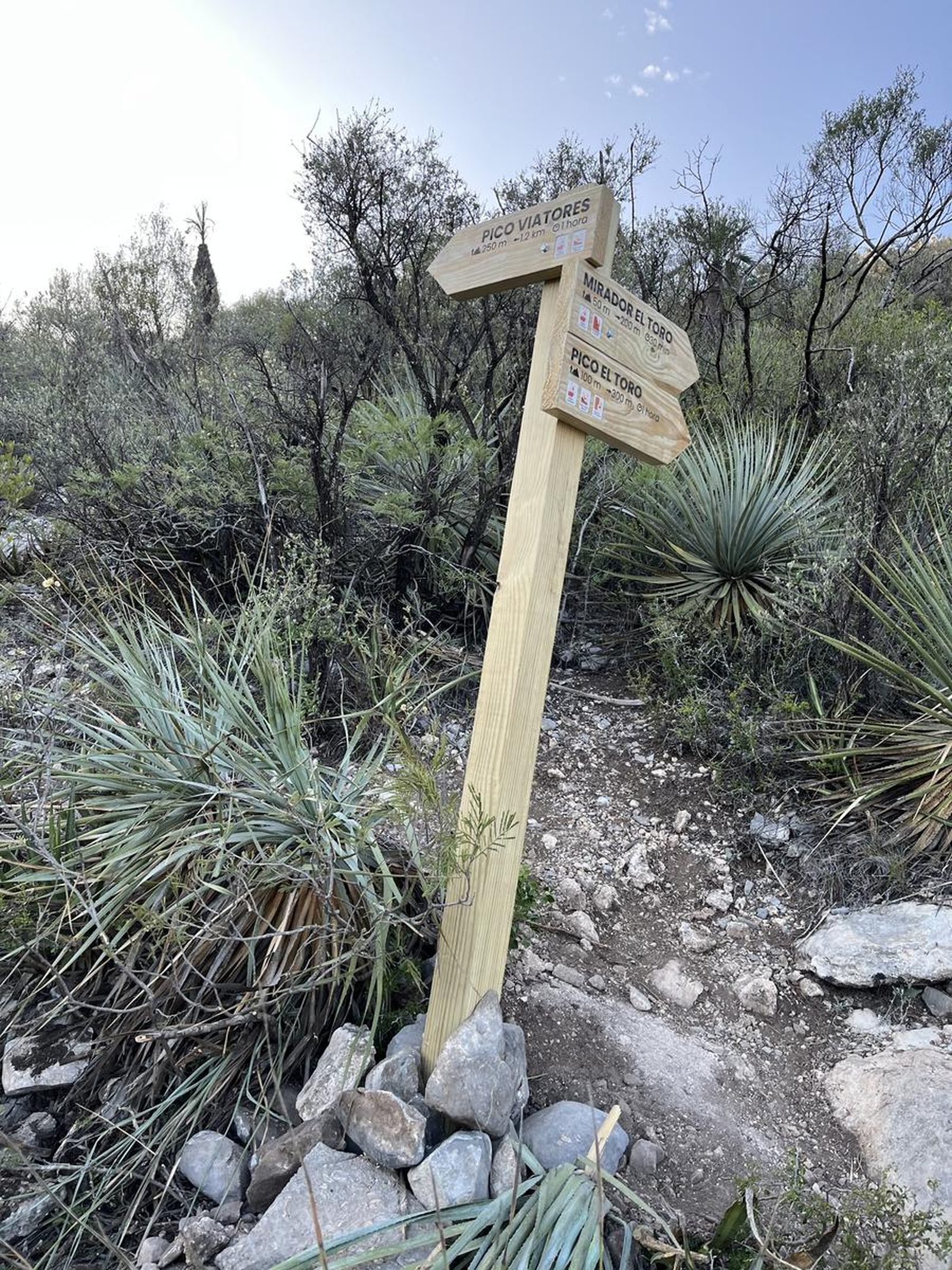
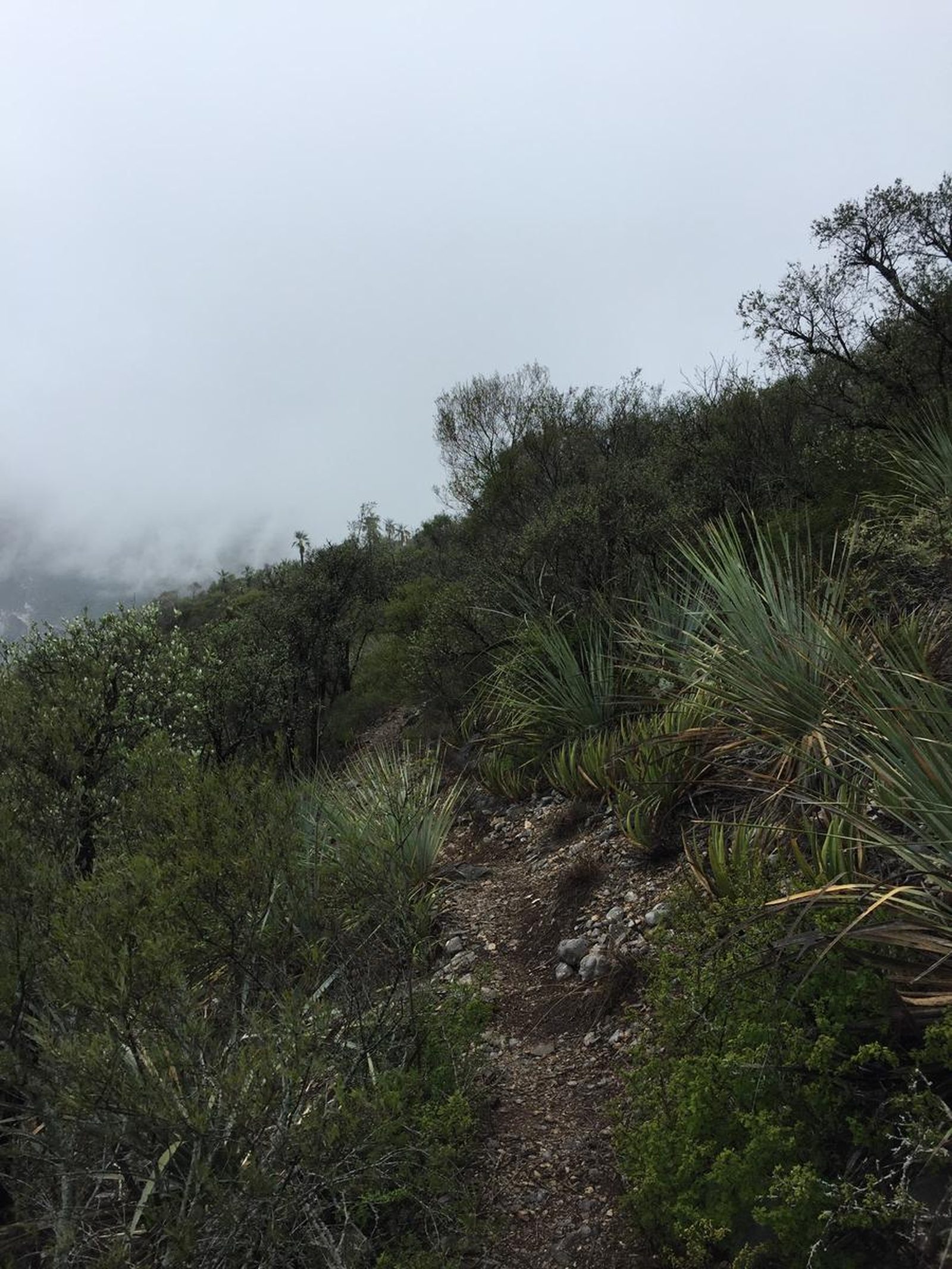
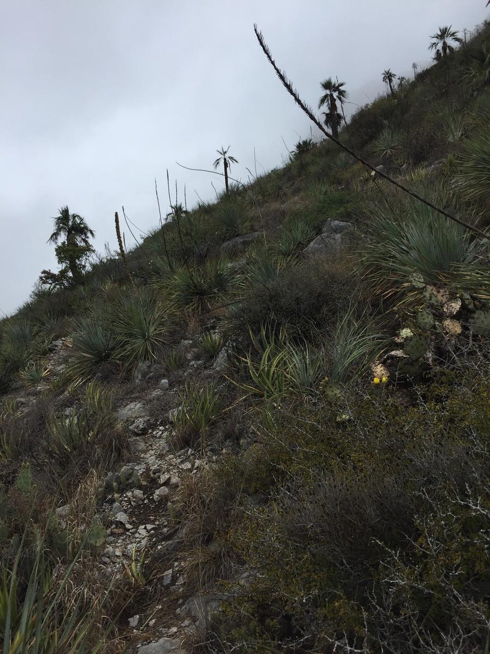
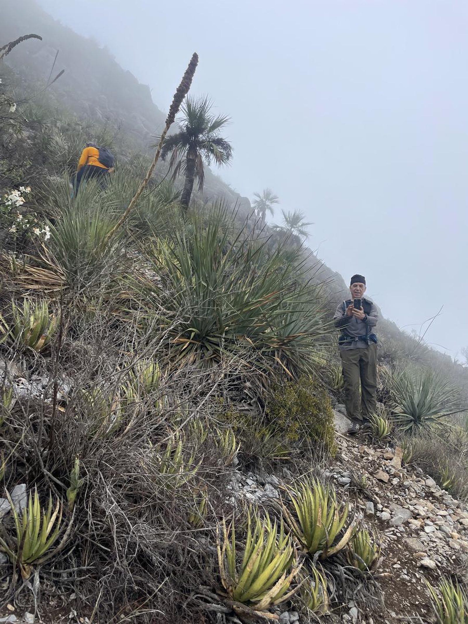
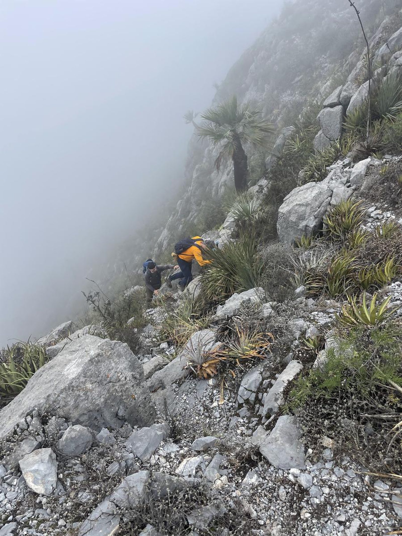
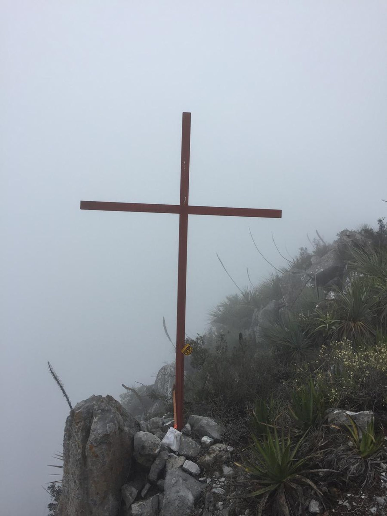
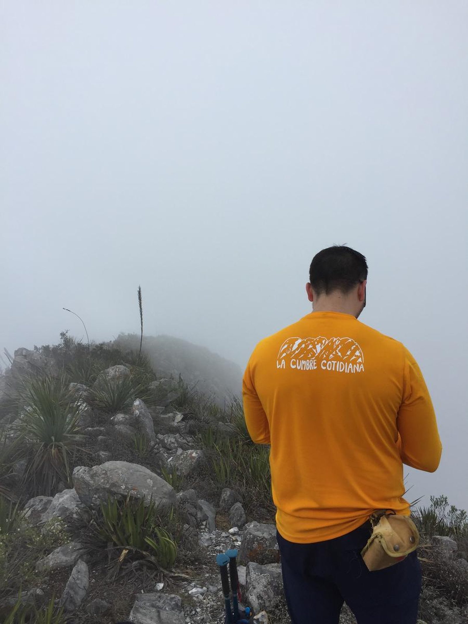
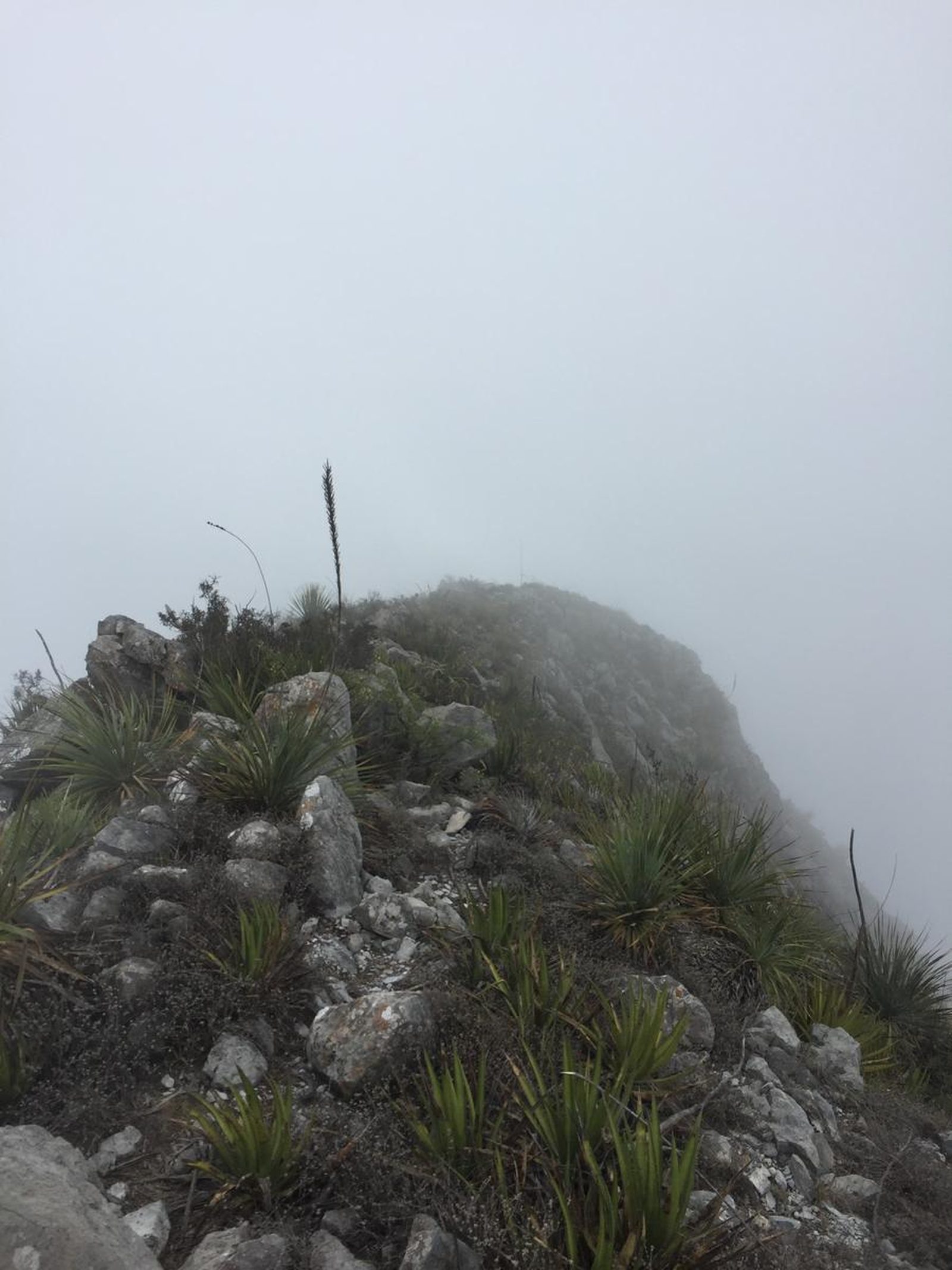
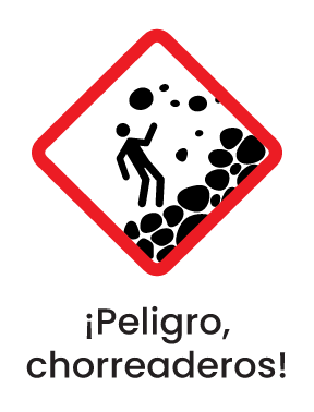
The route is marked and has our signs for La Cumbre Cotidiana A.C., however, there are several sections with aggressive and thorny vegetation, and there are several trails along the way that seem to lead to the same point. The team identified 2 ways to reach the top that were parallel paths, one path to the right and one to the left, one up and the other down, but they run parallel to the summit. It is recommended to take the right side, which goes up and is marked on this GPS route, since it is the most marked route.
Recommended Gear
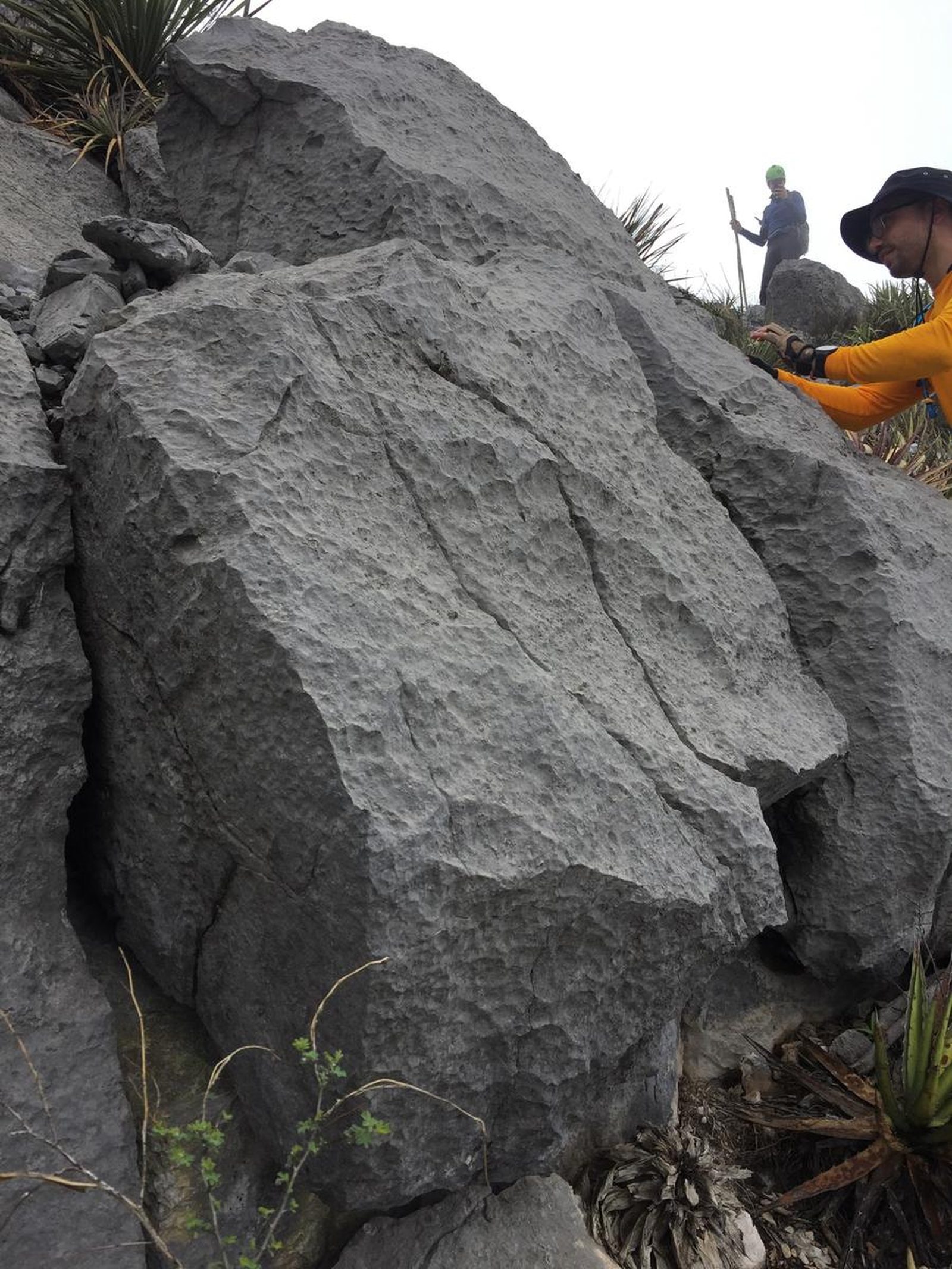
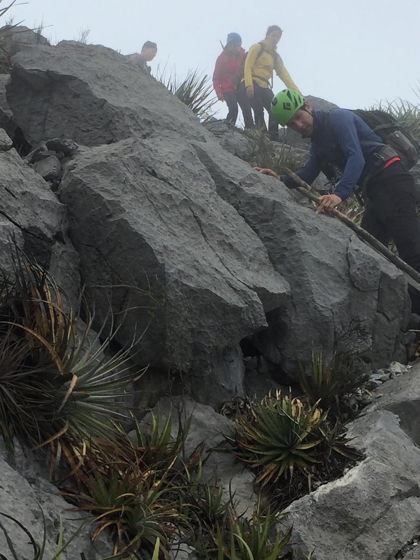
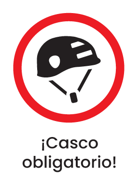
Although this is a hiking route, it is recommended to bring the following additional equipment: *Helmet. MANDATORY. *First aid kit. *Whistle. *Thermal blanket. *Knife. *Rechargeable battery (power bank).
What to Expect on the Trail
i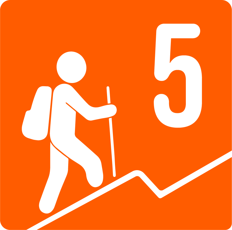
Elevation Gain
930 m
Total Distance (Out & back)
6.44 km
Total Time
2 h 58 m
Max Elevation
1617 m a.s.l.
According to our nomenclature, the level of physical difficulty assigned to this route is grade “5”, which means that the route has approximately 930 meters of unevenness, covered over 7 kilometers round trip in an average time of 8 hours. It is recommended to have taken some other simpler or less difficult routes in advance to complete this route.