
Puerto Gringo
Puerto Gringo
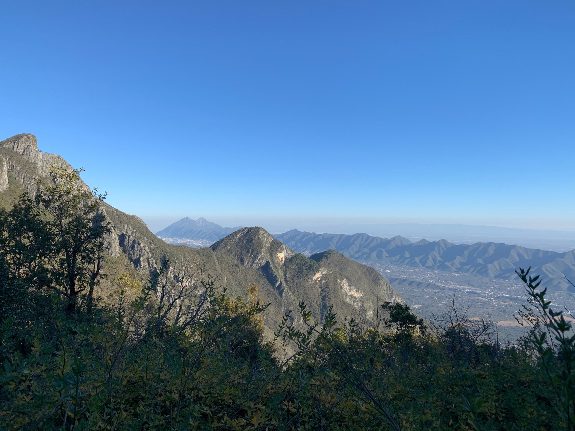
Parque Nacional Cumbres de Monterrey, Santiago
1068 m
10 km
6 h
1690 msnm
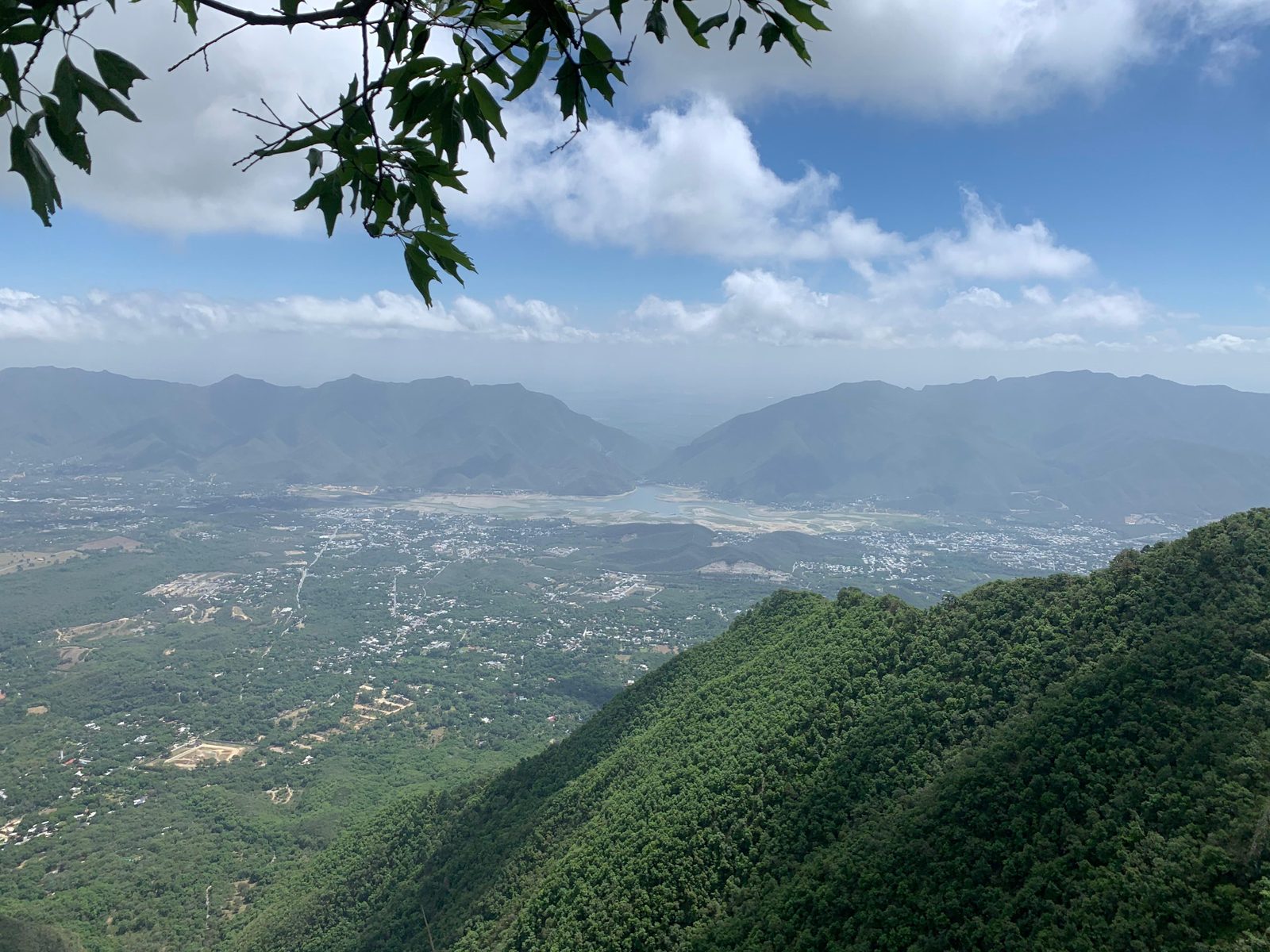
Discover the Puerto Gringo hiking route in Santiago, Nuevo León, inside Cumbres de Monterrey National Park. A 10-kilometer trail with more than 1,000 meters of elevation gain, designed for hikers with good fitness who are looking for demanding yet accessible views and a classic mountain experience close to Monterrey.
Warnings


Level
i
Packing List
How to get there
Trailhead Access
The start of the route is located about 50 minutes from Monterrey and 10 minutes from the area known as Los Cavazos, in Santiago, Nuevo León. Take the National Highway (Carretera Nacional) heading south until you reach the municipality of Santiago, then turn right towards the Sierra Madre. We recommend following the navigation link, as it can be confusing to take the correct exit from the highway and reach the trailhead for Puerto Gringo.
Parking Information
For this route you can park at the start in the area known as El Socavón. There is space for approximately 10 to 15 vehicles and there is also parking space at the lower part of the route.
Fees & Park HoursN/A
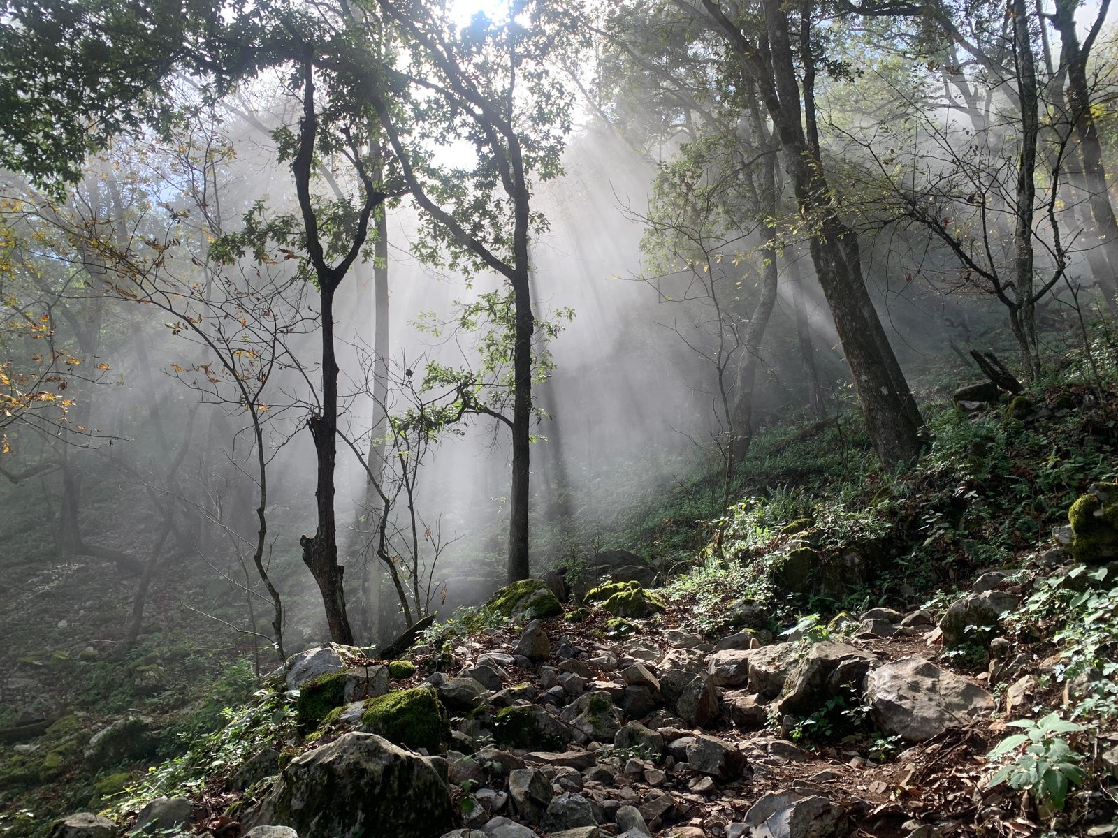
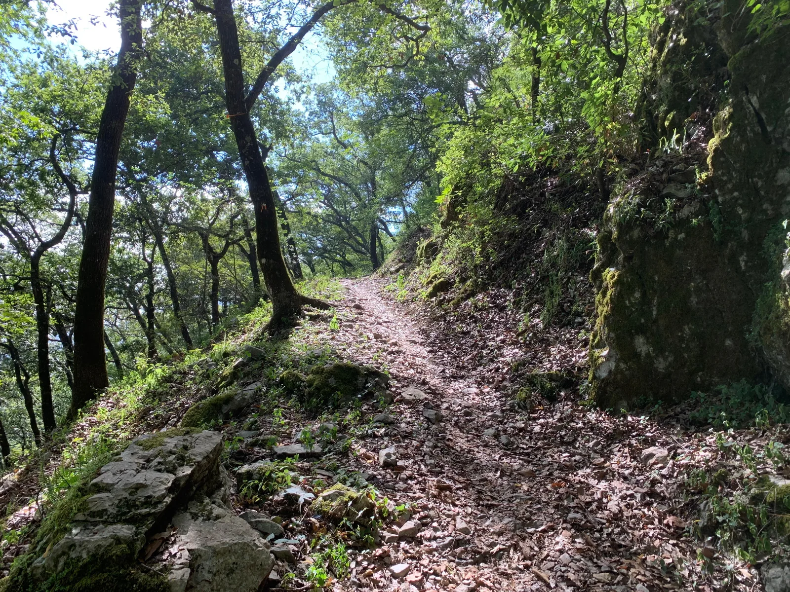
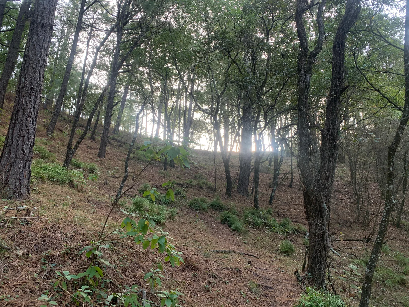
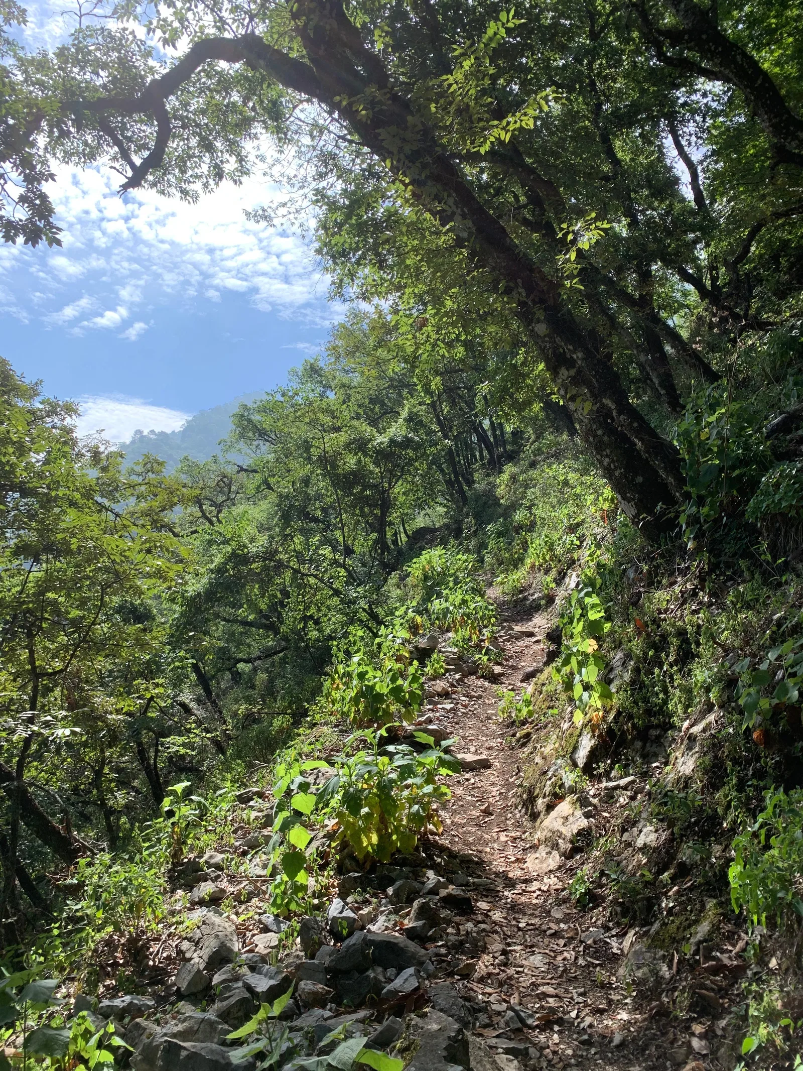
Trail Overview
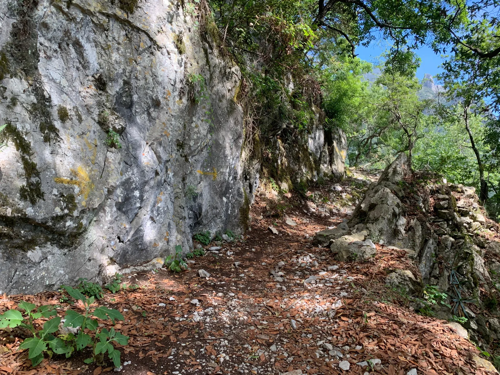
The route is generally easy to follow, although there are intersections with other summits such as Puerto Olmos or Puerto Tinajas. We recommend paying close attention to the signs and downloading the GPS track to your device in case you are unsure which path to take.
Recommended Gear
Hiking poles
Elevation Gain
1068 m
Total Distance (Out & back)
10 km
Total Time
6 h
Max Elevation
1690 msnm
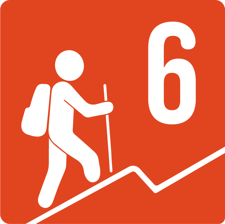
This route has a physical difficulty level of grade 6, which means a good level of fitness is required to complete it. The elevation gain is close to 1,000 meters and the total distance is 10 kilometers, making this a demanding but still accessible trail, similar to routes such as Cerro de la Silla, La Viga or La Martha.