
Barranca de Huentitán - Guadalajara, JAL
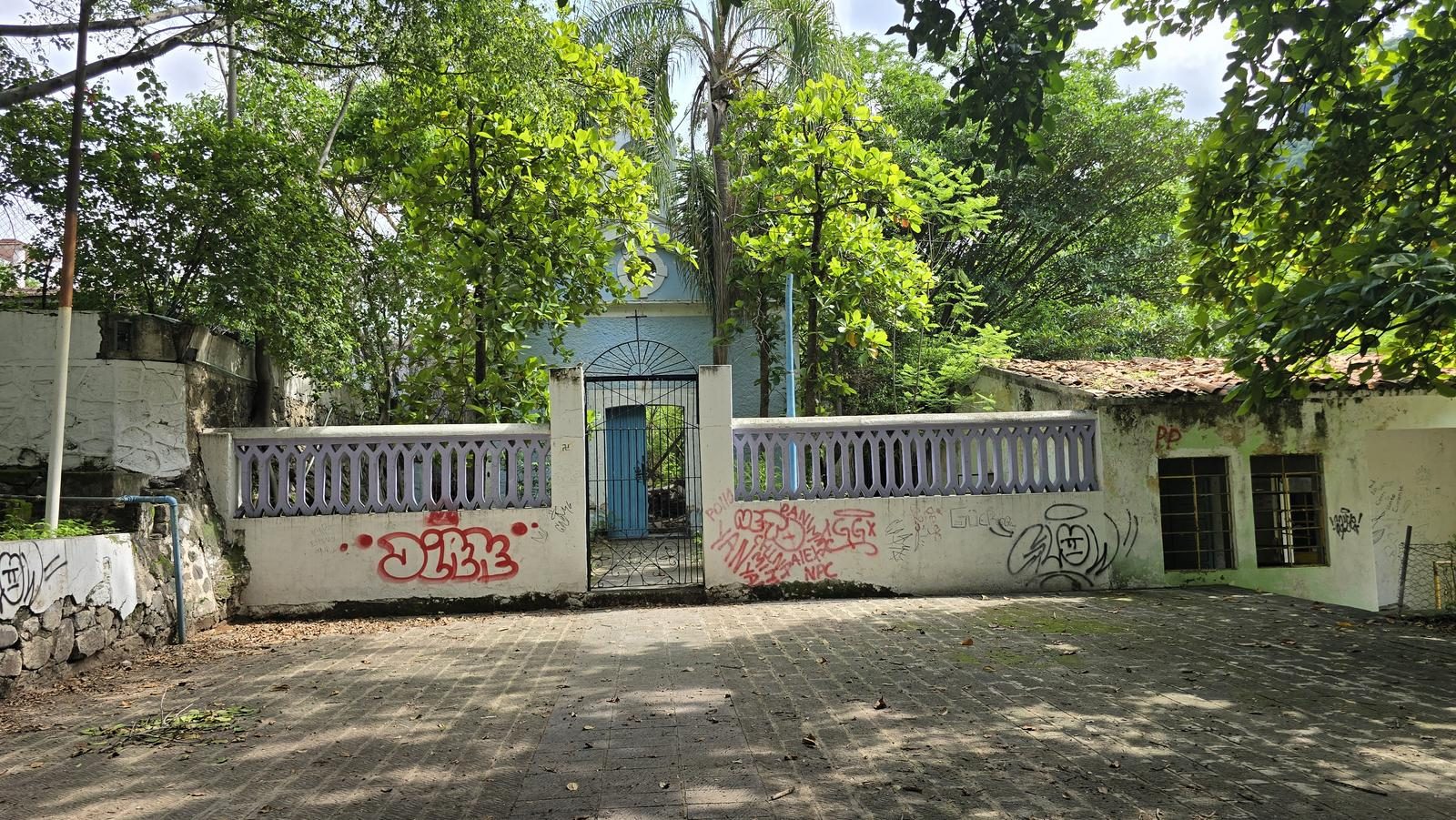
Barranca de Huentitán - Guadalajara, JAL
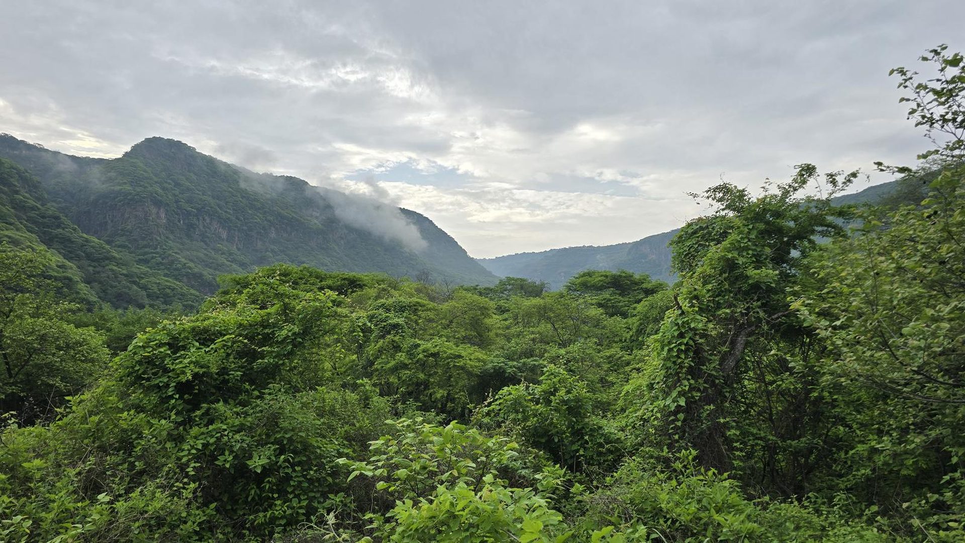
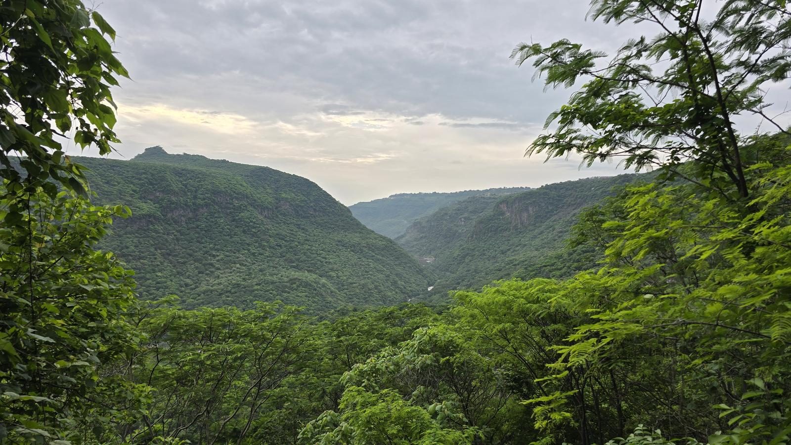
Barranca del Río Santiago, Guadalajara
734 m
13.4 km
4 h 12 m
1547 msnm
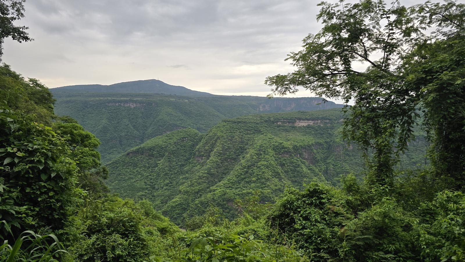
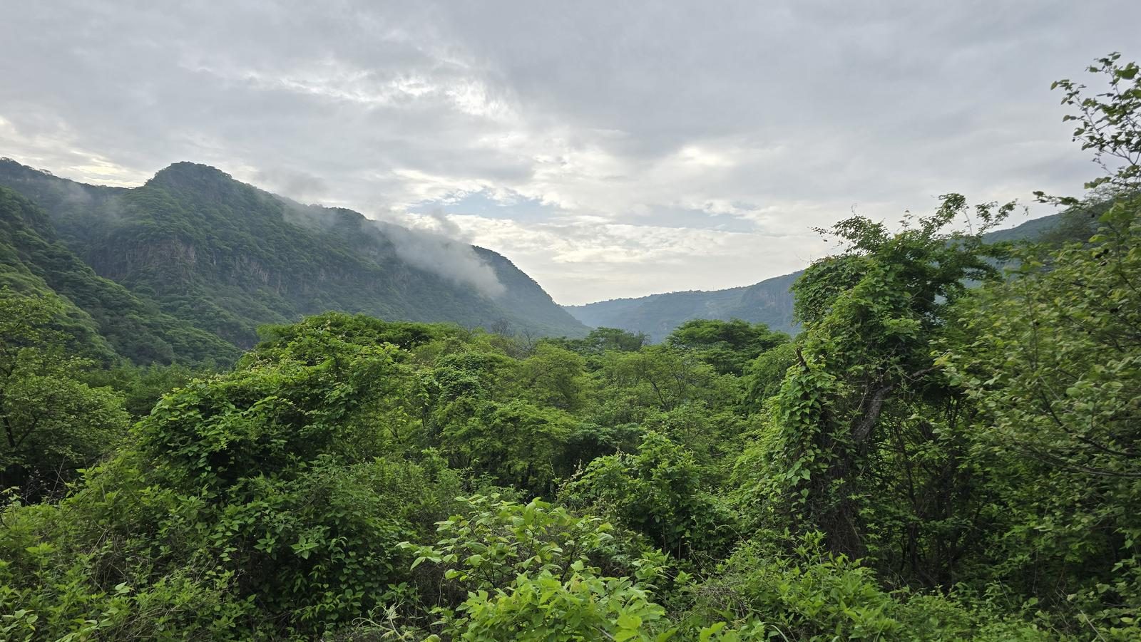
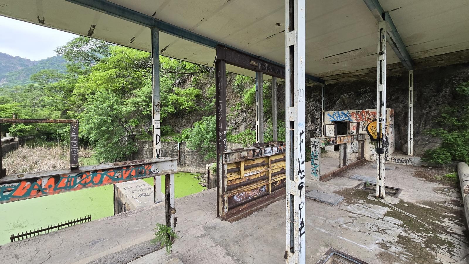
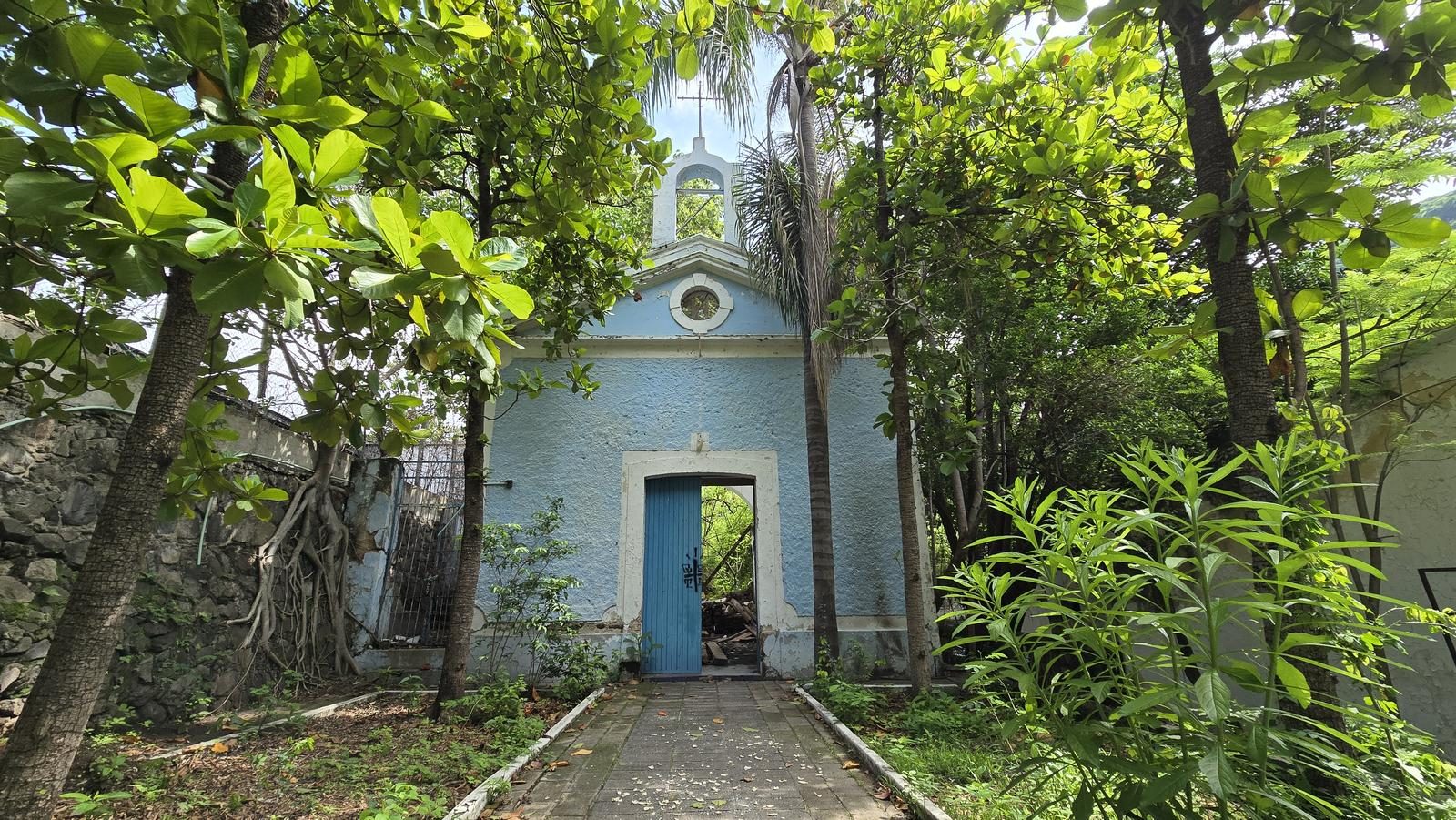
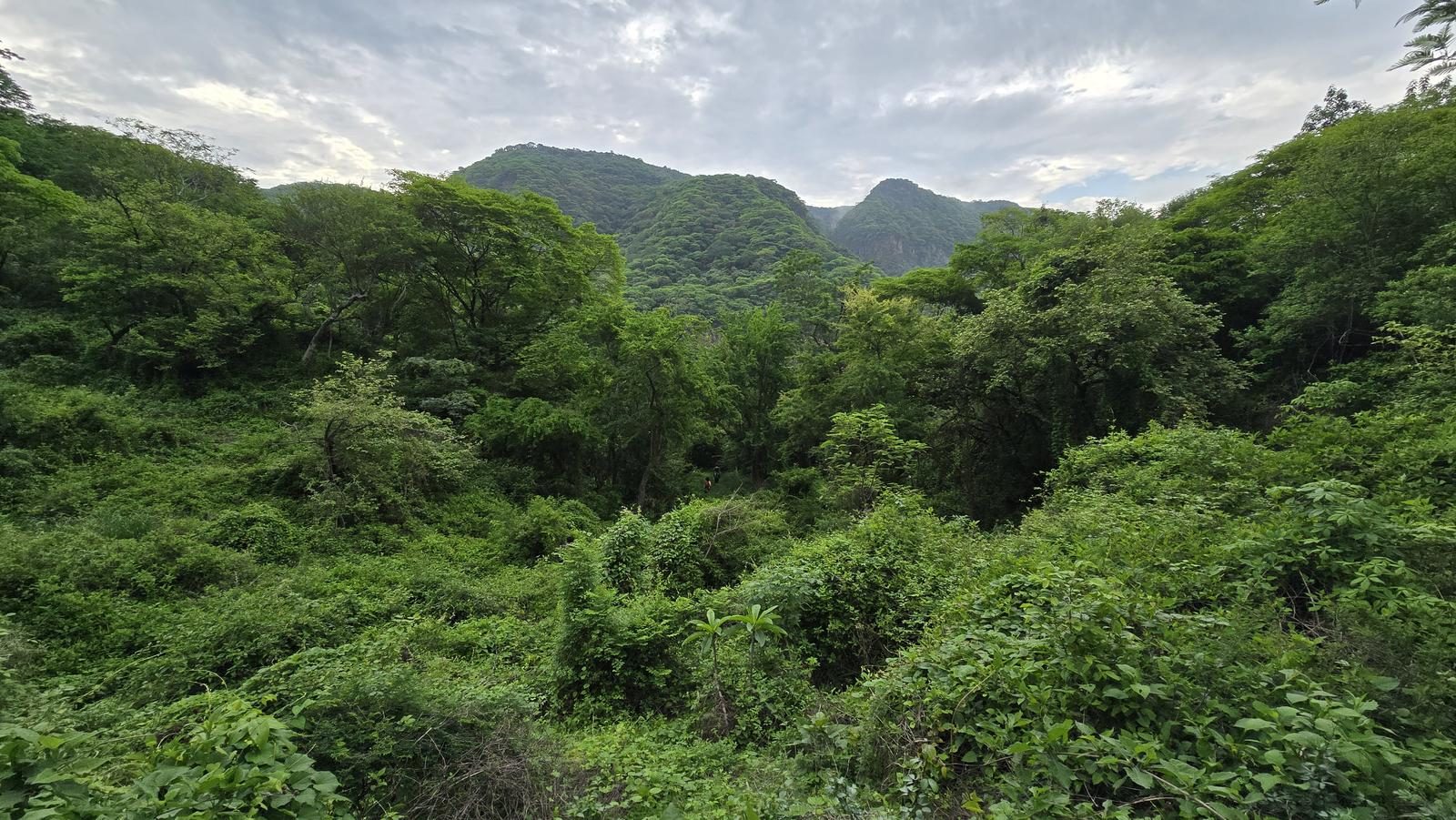
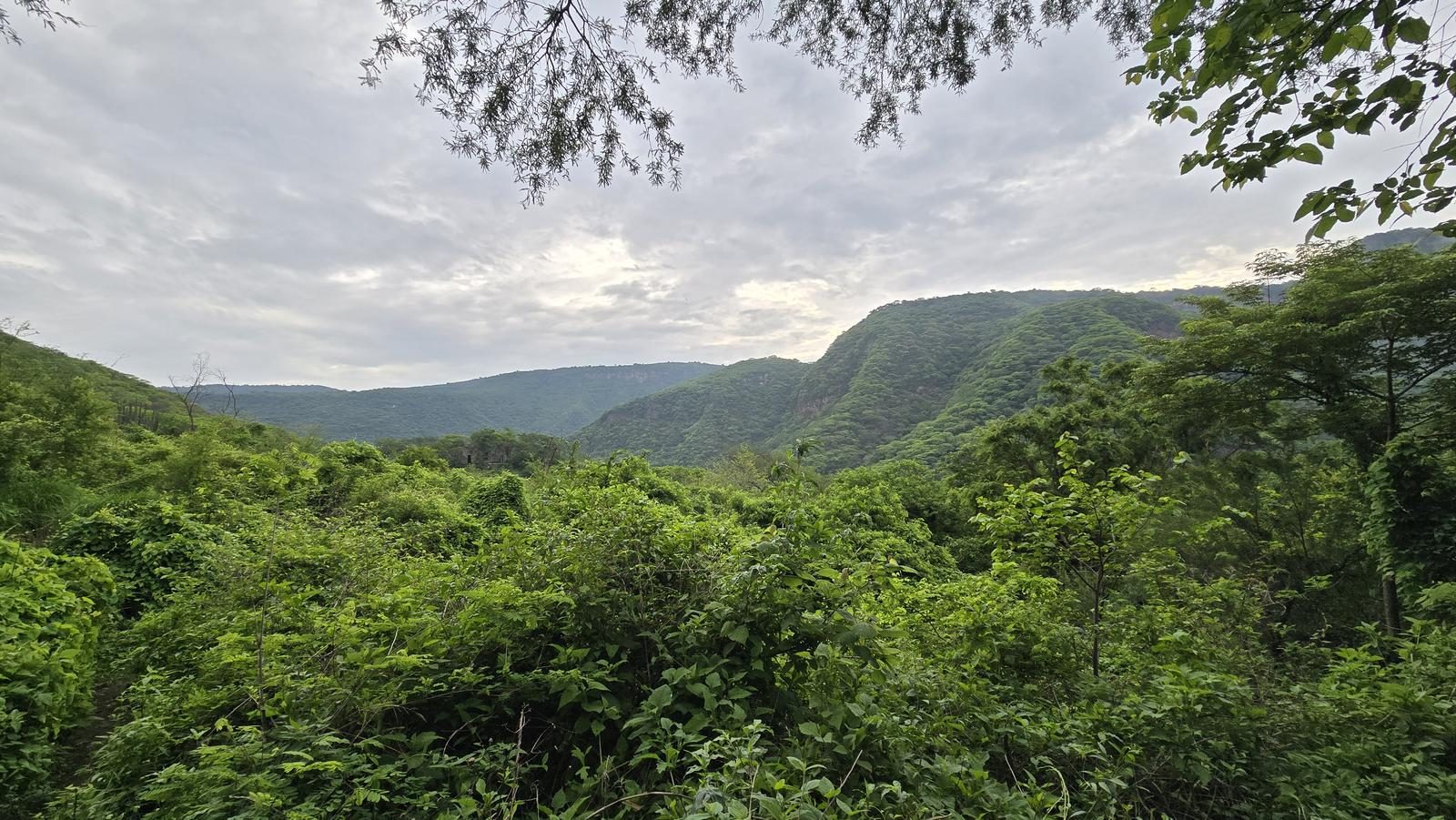
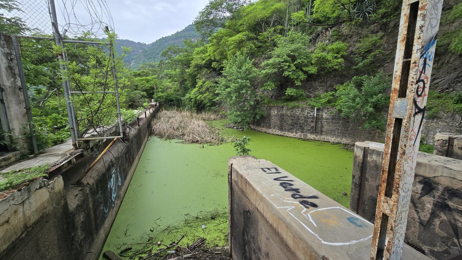
Down the Huentitán canyon to the Arcediano suspension bridge, a late-1800s design, past an abandoned village — all of it inside metropolitan Guadalajara.
📢 Alerts & Updates
This route can be done in any season of the year, although it is more advisable to do it after the rainy season, as this is when the vegetation is growing the most and there is less exposure to the sun.
Level
i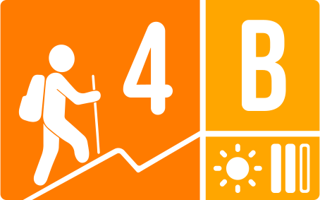
Packing List
How to get there
Trailhead Access
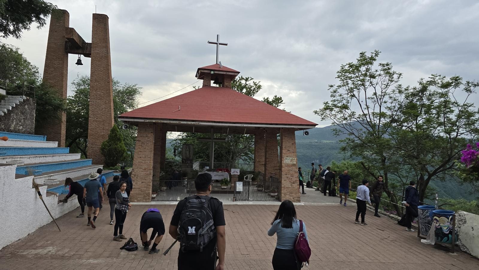
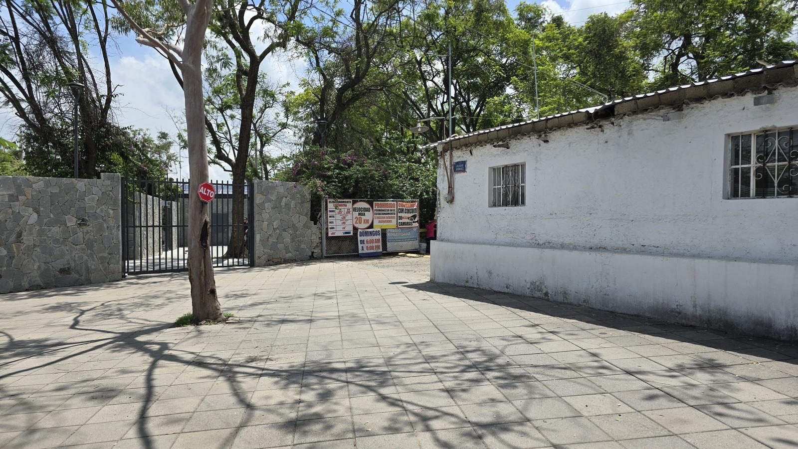
We can search the browser for “Plazoleta Barranca de Huentitán”. Departing from the center of Guadalajara, we head to the northern part of the city, heading to the Huentitán el Alto neighborhood. Either through the Independence Road, the Northern Peripheral or Artesanos Avenue, we will take Belisario Domínguez Avenue to the north. This avenue ends right where the ravine begins.
Parking Information
Next to the square, there are many secure parking options. They typically charge between 30 and 50 pesos with no time limit. Also, next to the avenues there are people who offer a parking space on the street and monitor it for a fee.
Fees & Park Hours
As of January 15, 2025, this route does not involve access costs.
Trail Overview
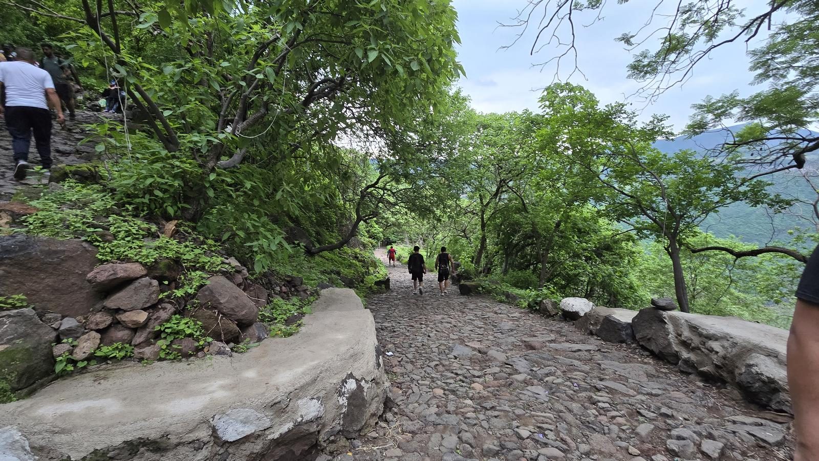
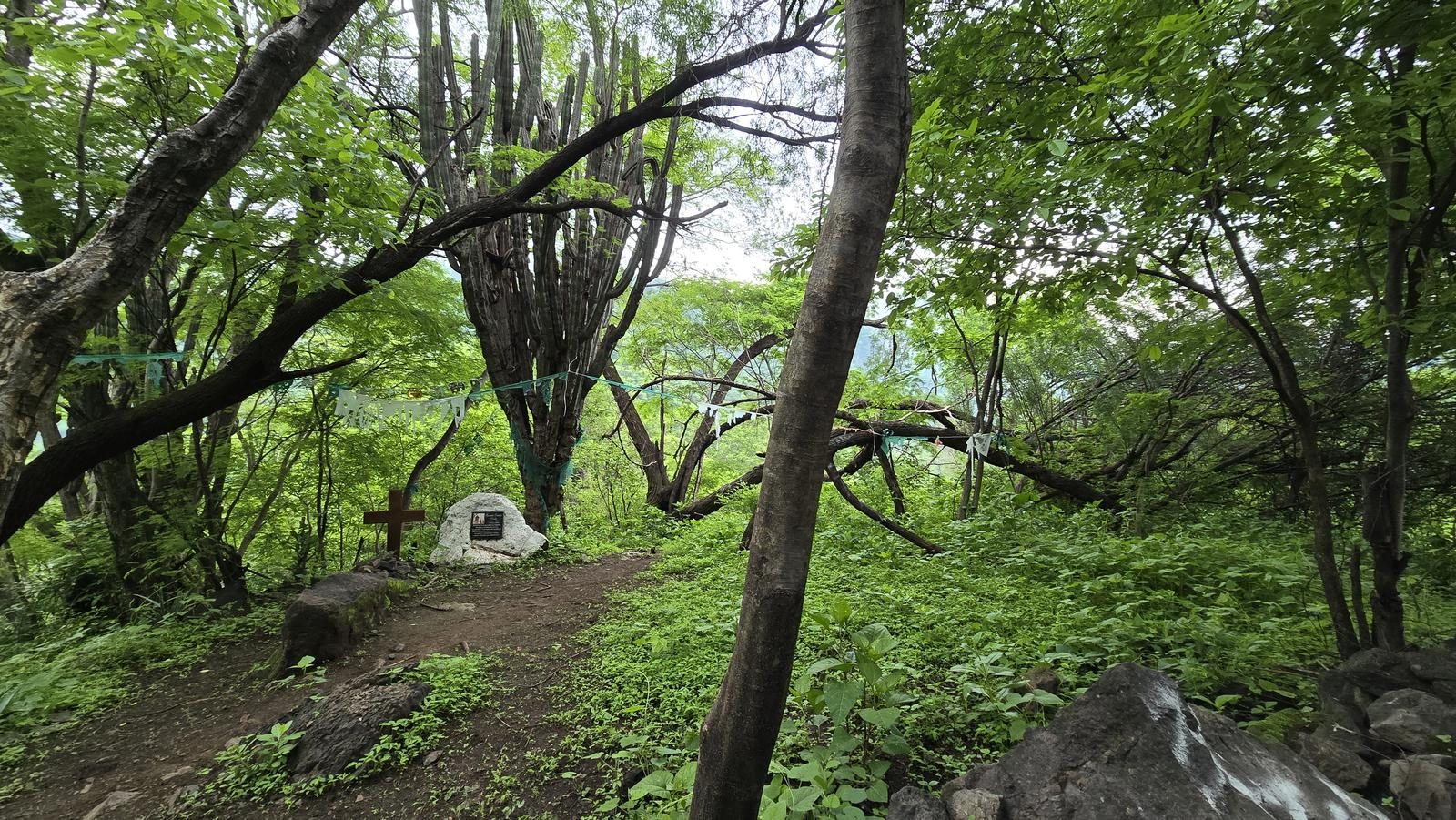
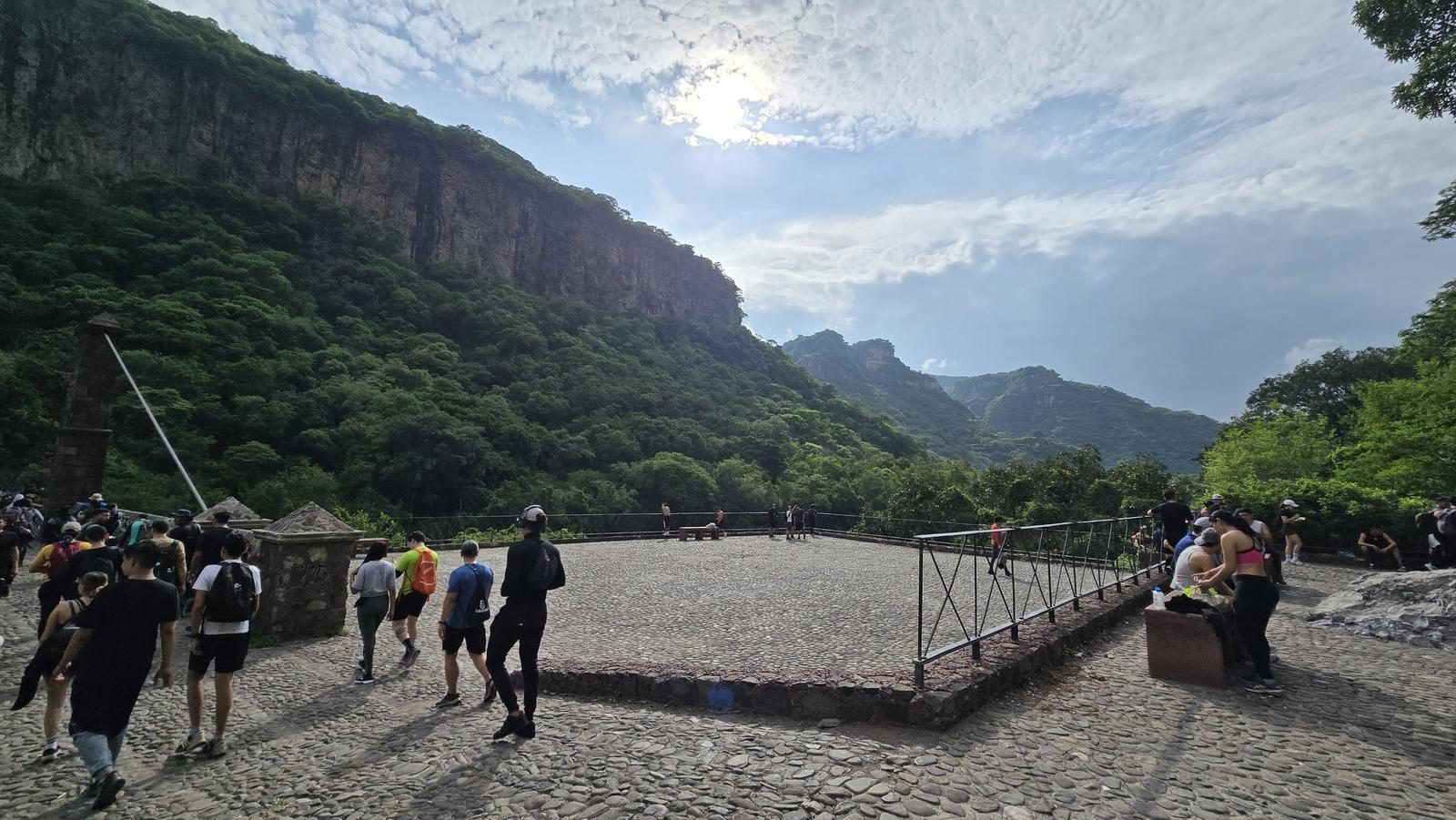
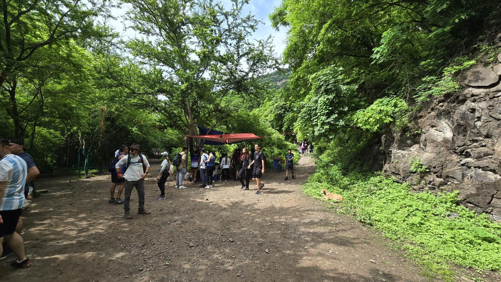
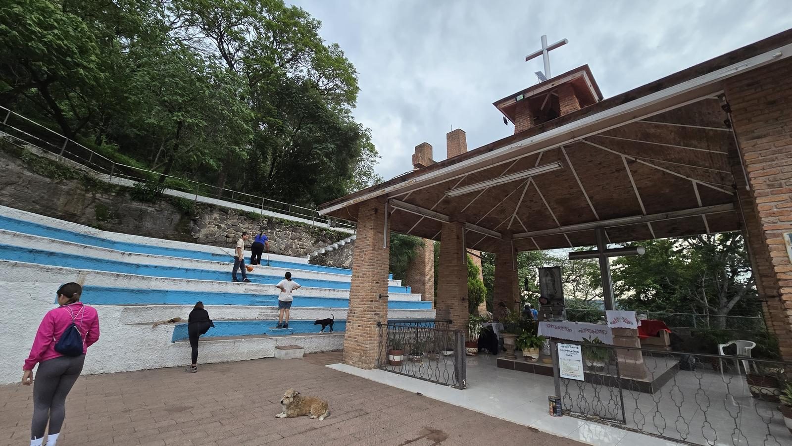
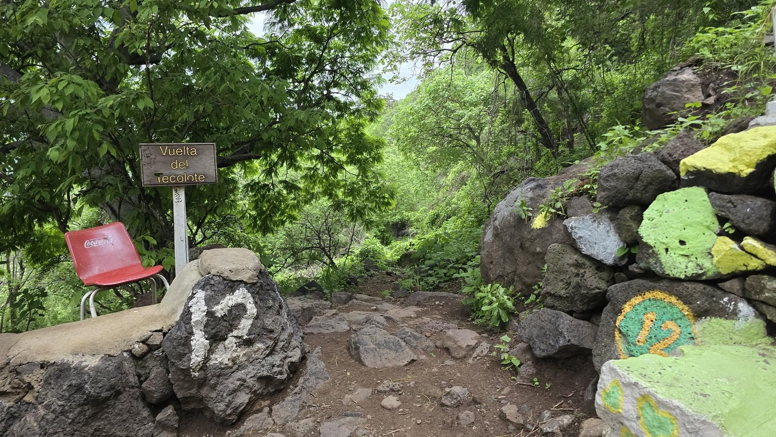
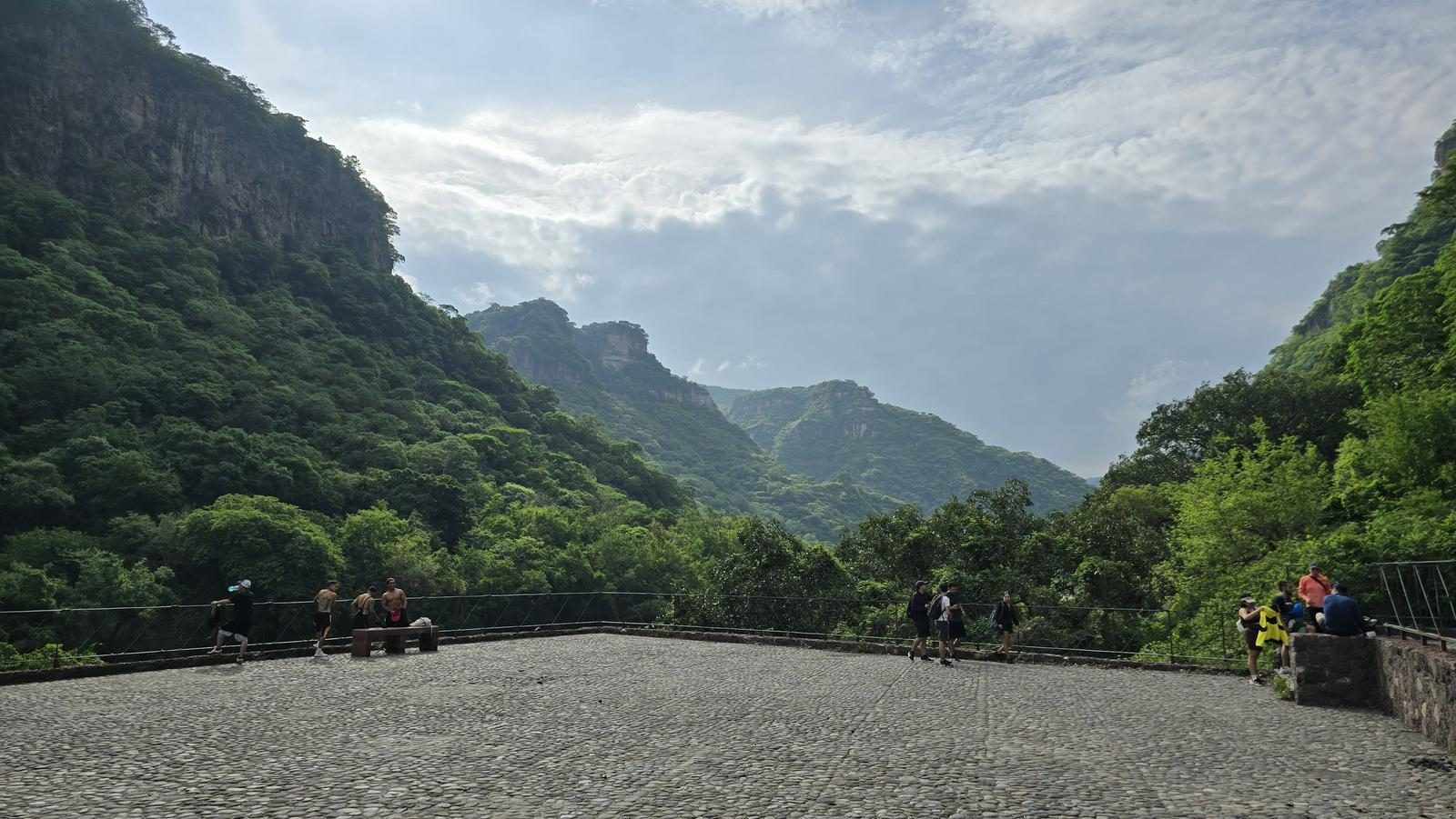
This route is very popular, so the route is very clear. It starts with a cobblestone road and with the number of each curve painted on the rocks. In this case, we left the cobblestone road on lap 12 (Vuelta del Tecolote) and entered trails in La Barranca. This section could be lost due to the existence of alternative routes, so you have to be aware of Wikiloc. The rest of the tour (ghost town, Arcediano and back) are hard to confuse.
Recommended Gear
- Hands free lamp (mining type) - External battery (PowerBank) - Sunscreen - First Aid Kit or First Aid Kit - Insect repellent
Elevation Gain
734 m
Total Distance (Out & back)
13.4 km
Total Time
4 h 12 m
Max Elevation
1547 msnm
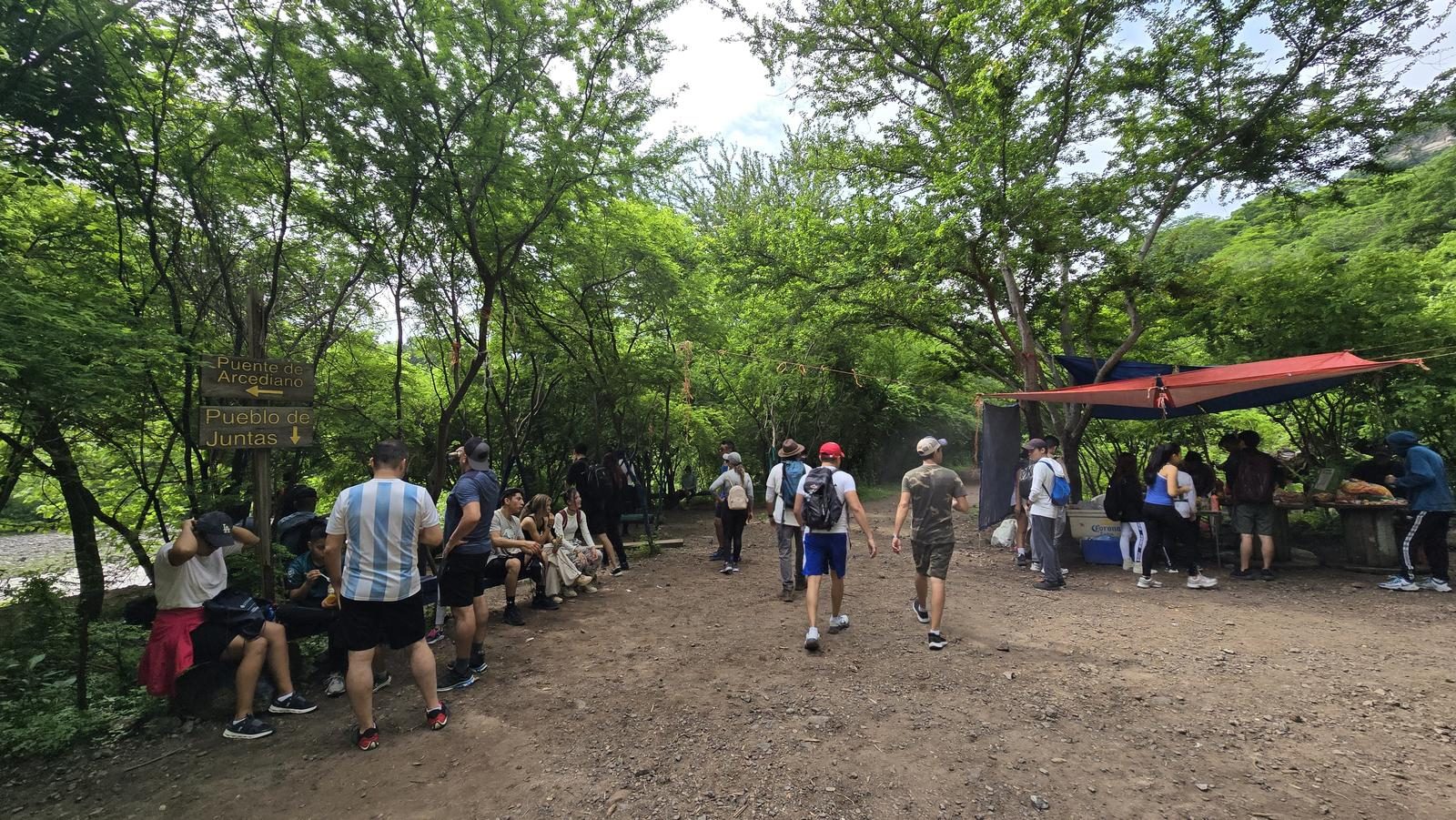
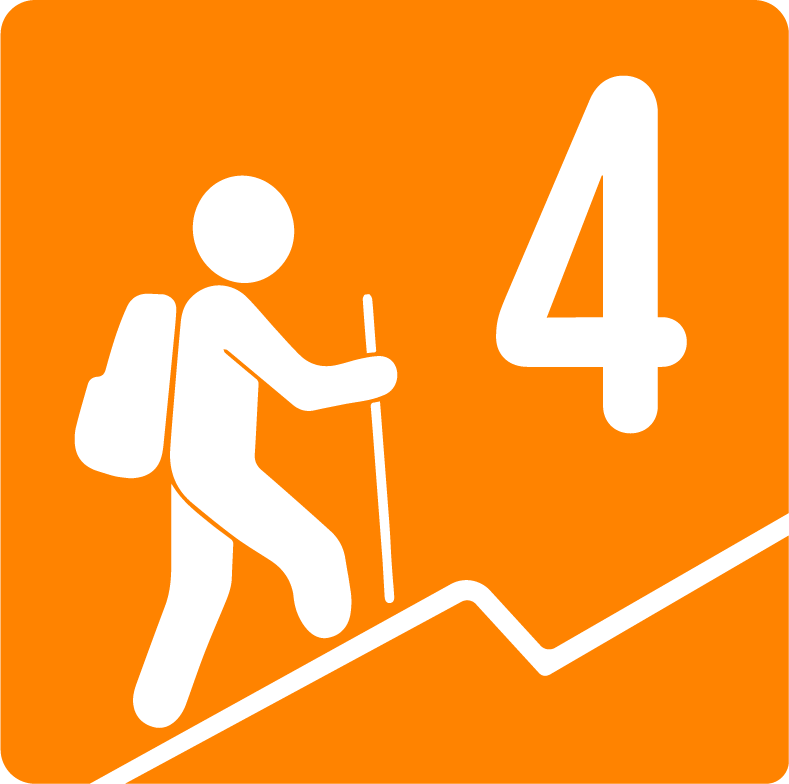
It is classified as level 4 because of the accumulated slope, between 550 and 650 meters of climb. It is a popular route for athletes and walkers of all levels; every weekend hundreds of people go on tours in La Barranca. The drop is heavy for the knees, but light for the physique. The physical demand comes when we return, because we have to climb everything we go down.