
Camino a las Antenas - Cerro Viejo - Jalisco
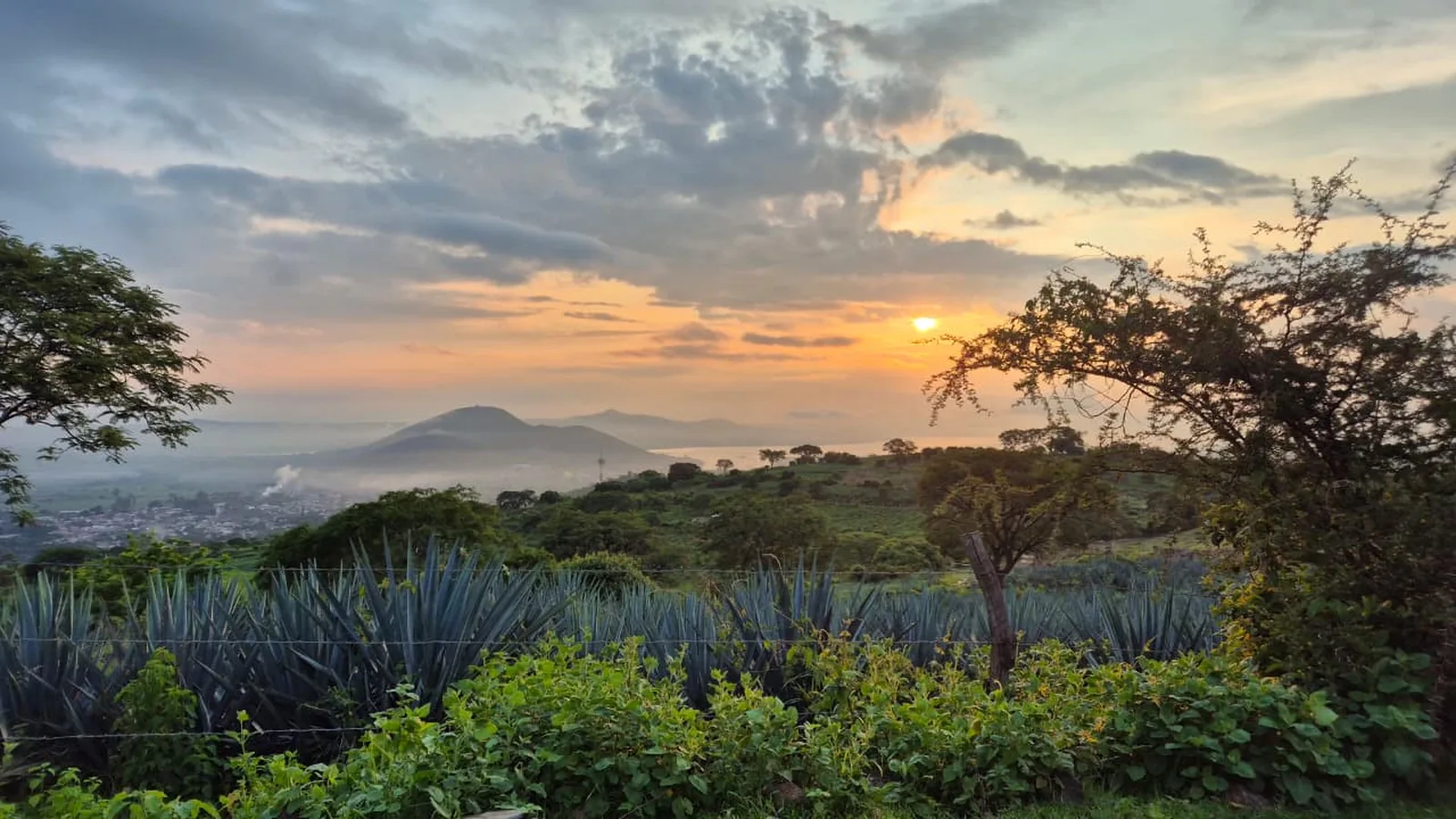
Camino a las Antenas - Cerro Viejo - Jalisco
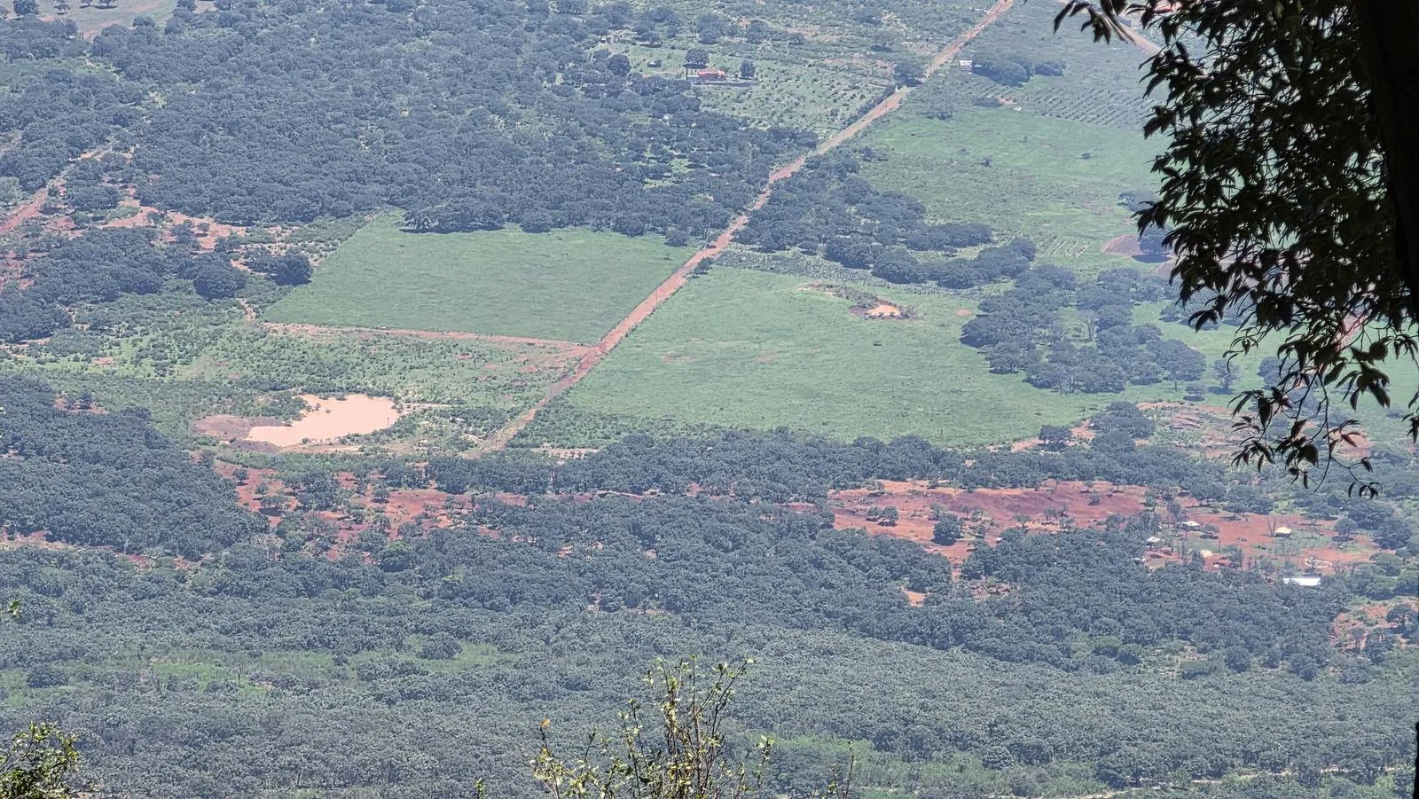
Área Estatal de Protección Hidrológica Cerro Viejo-Chupinaya-Los Sabinos, Ixtlahuacán de los Membrillos
1297 m
26.13 km
7 h 58 m
2932 msnm
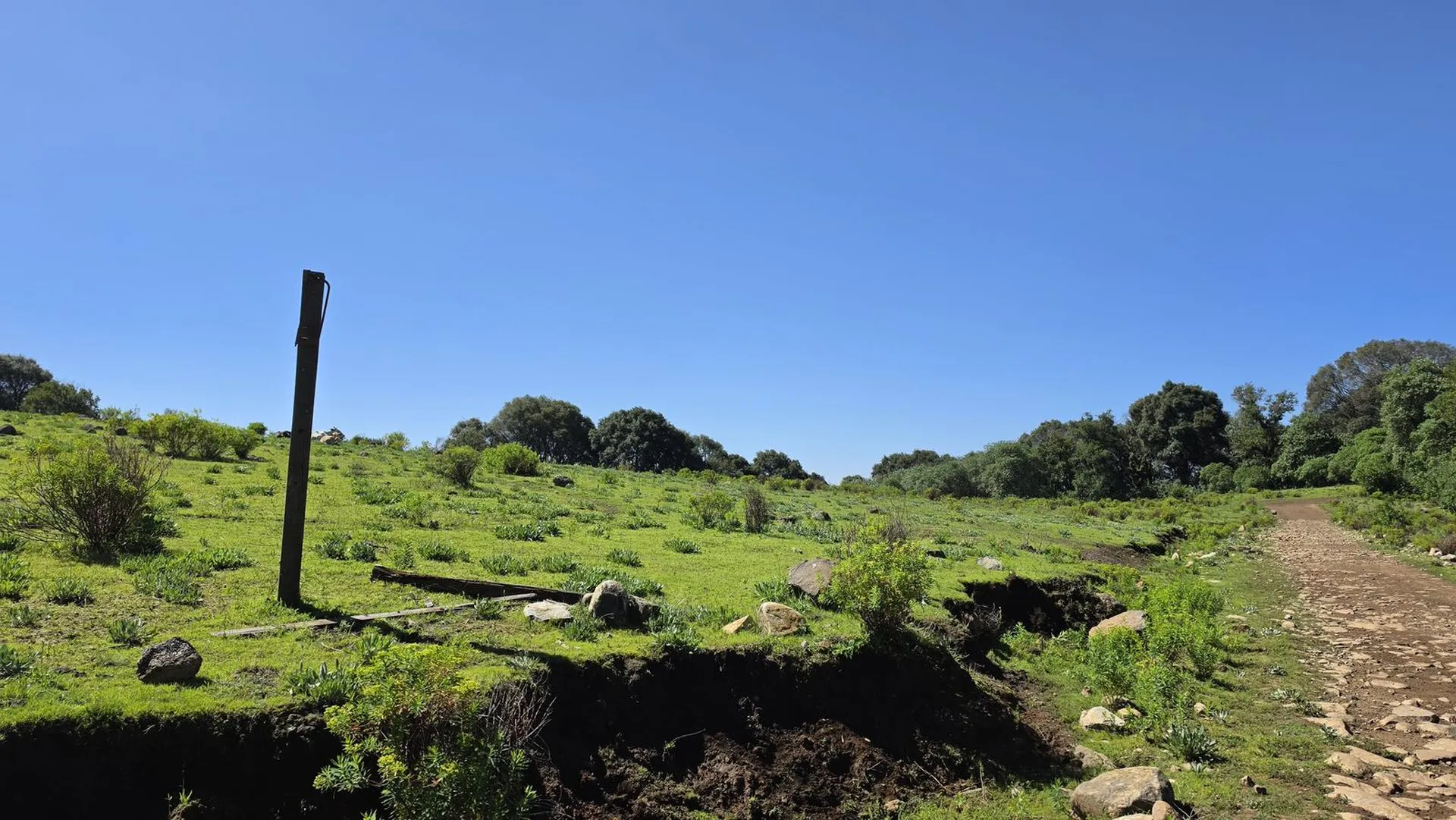
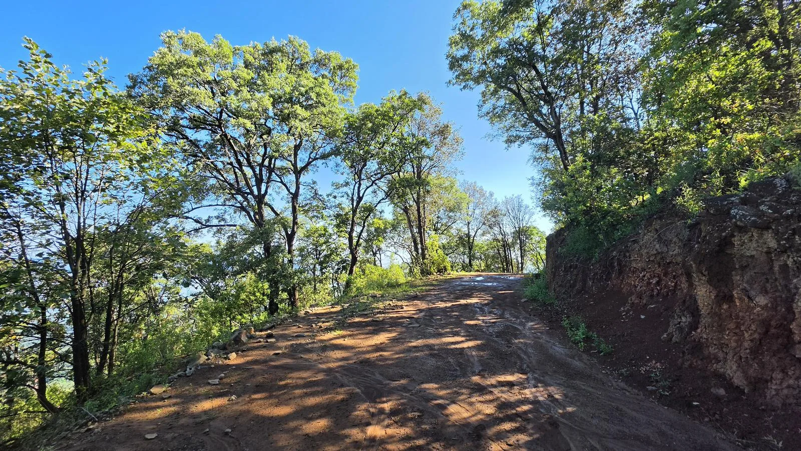
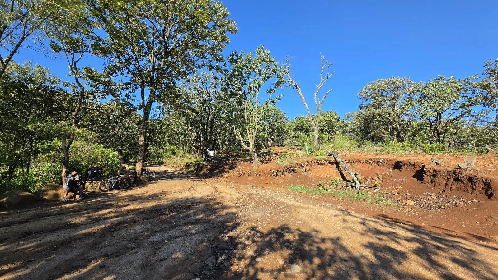
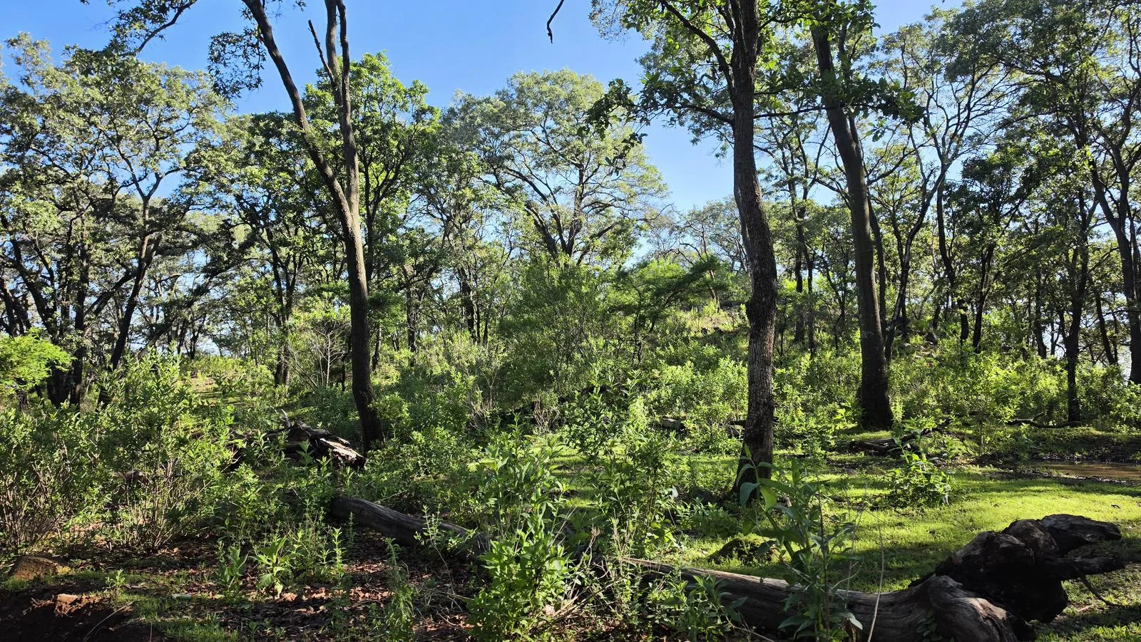
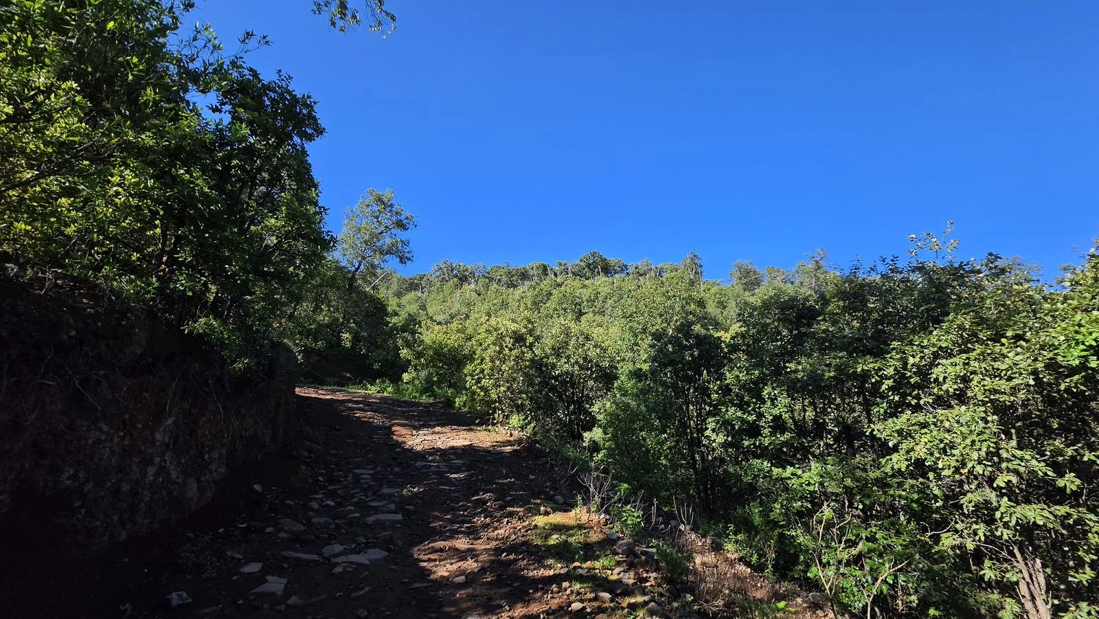
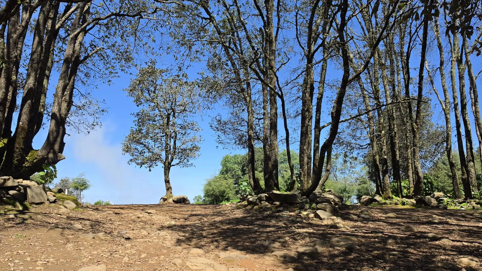
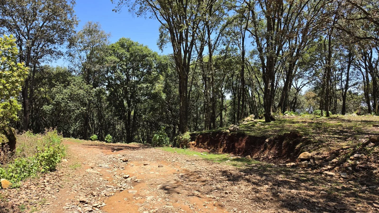
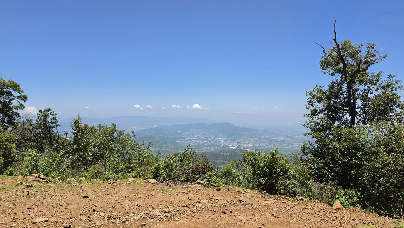
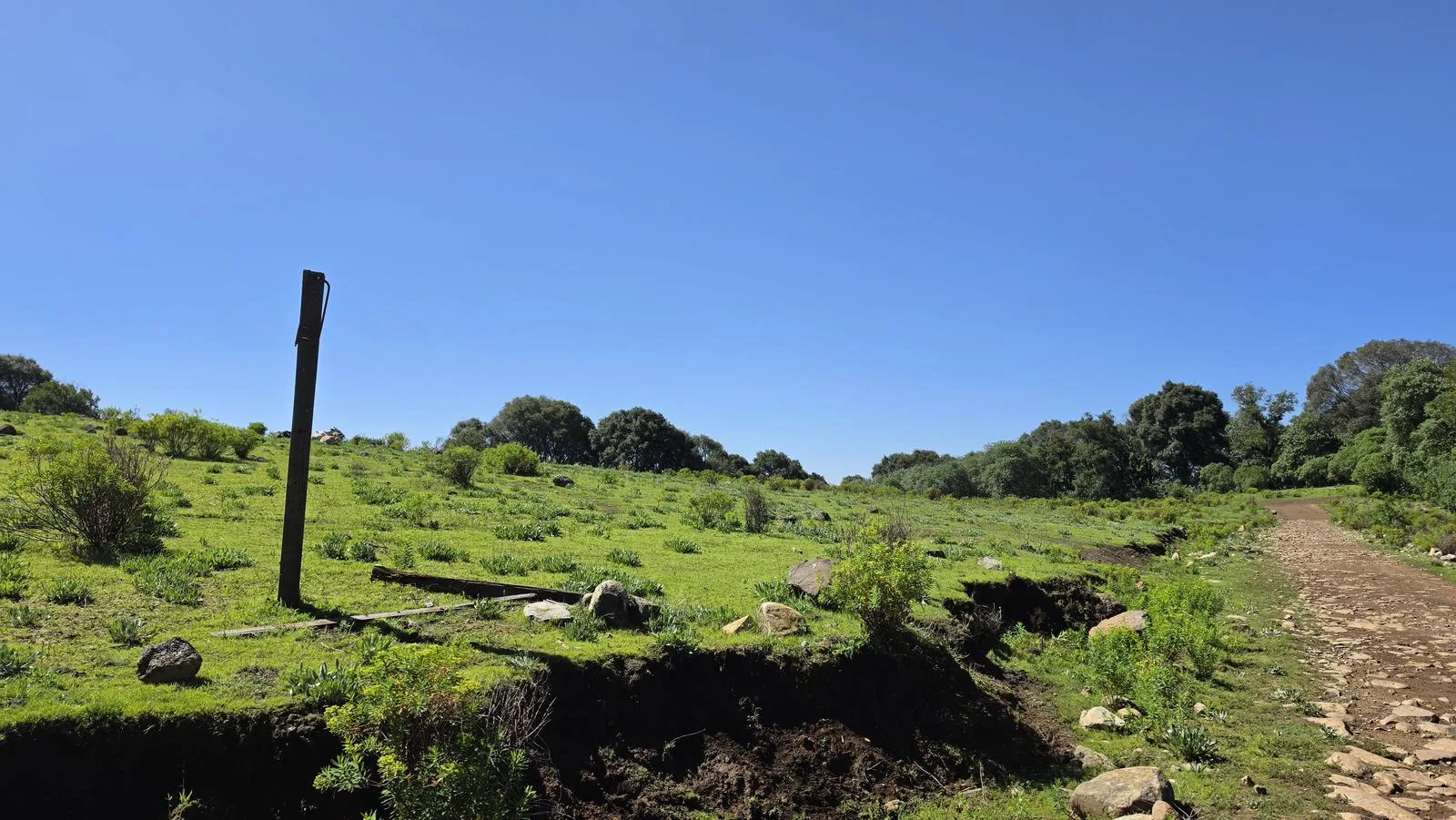
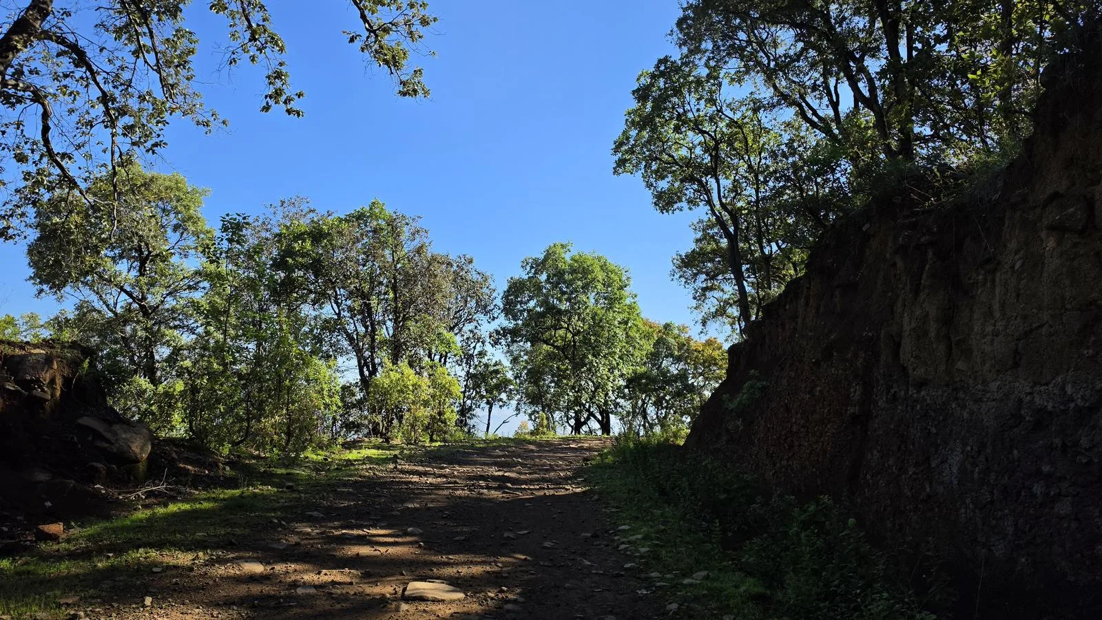
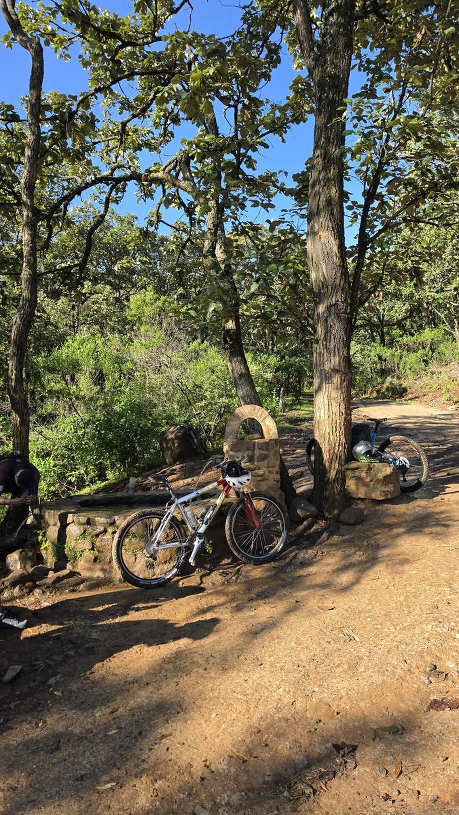
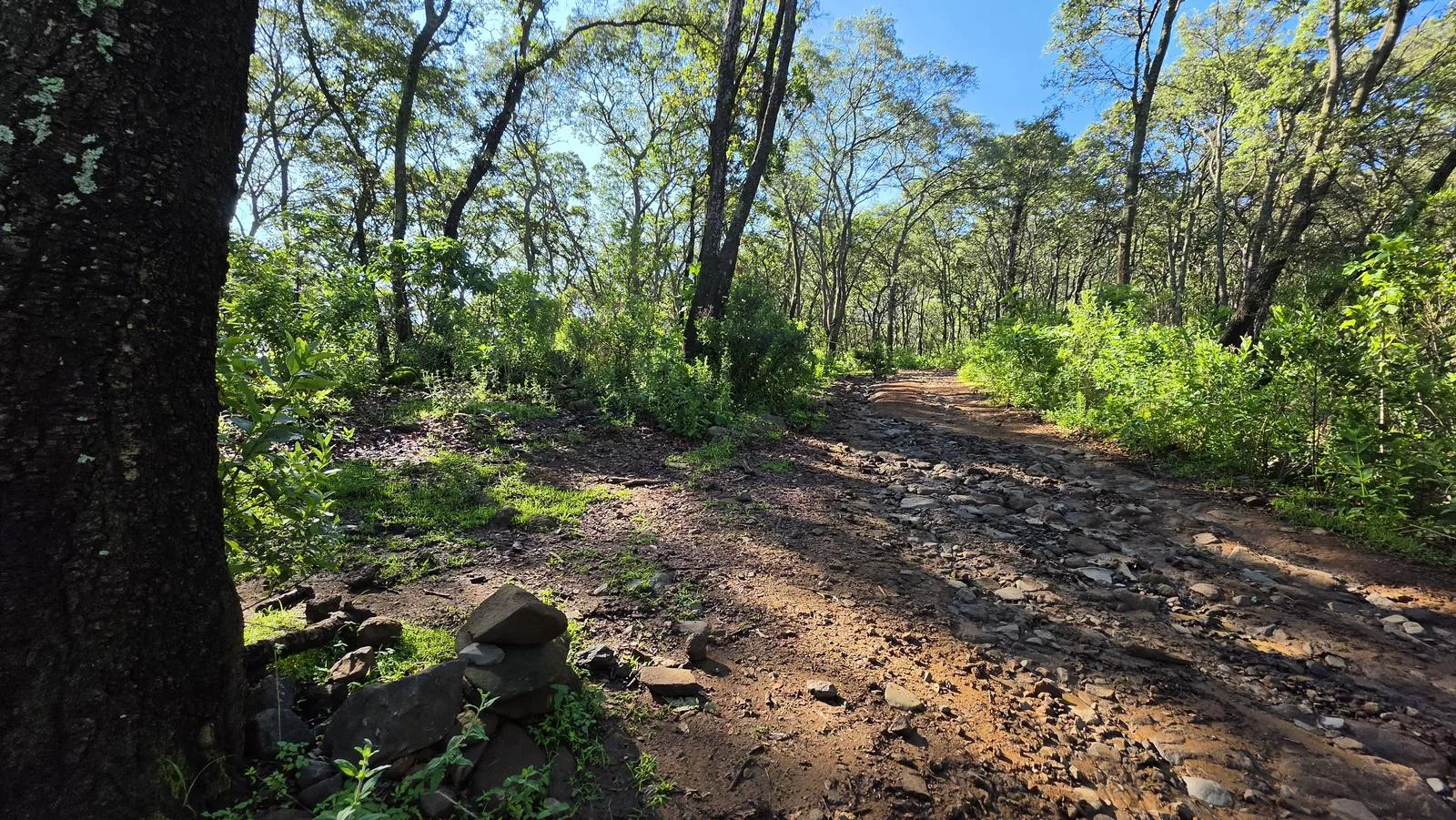
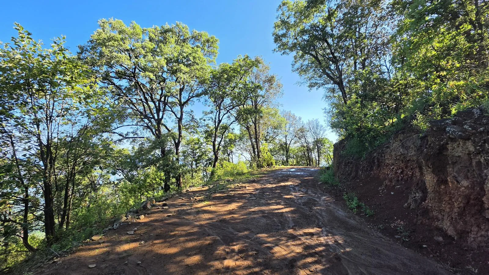
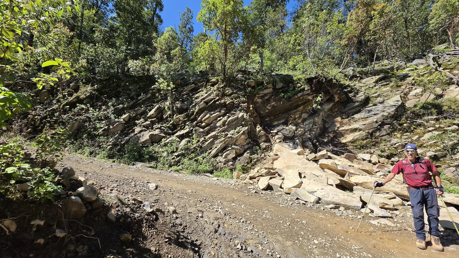
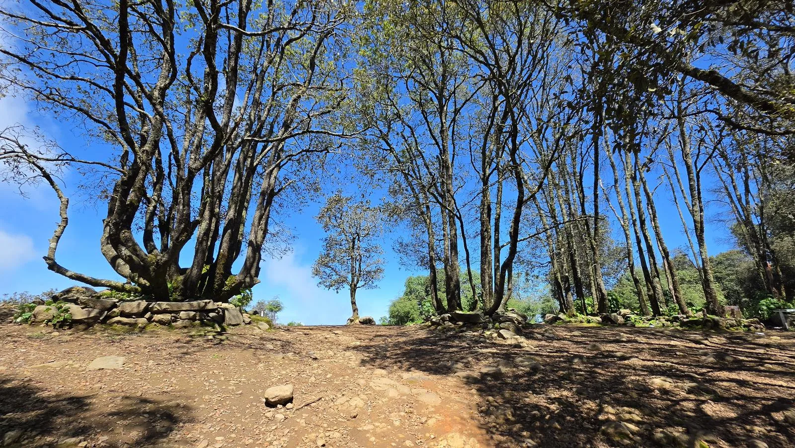
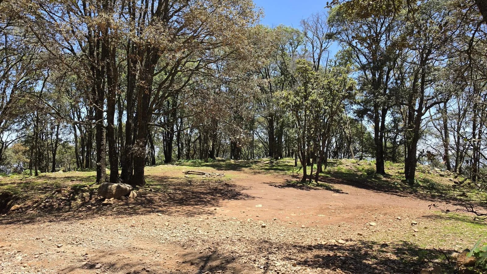
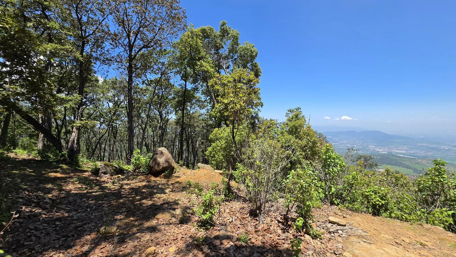
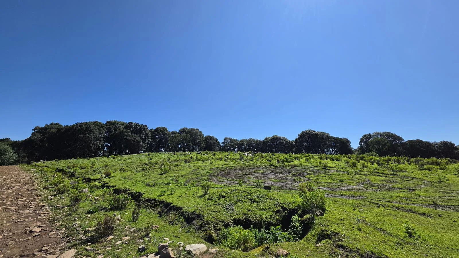
26 km of wide dirt road up to the Cerro Viejo antennas. Navigation is the easy part here — the sun is what wears you down, since most of the climb is fully exposed.
📢 Alerts & Updates
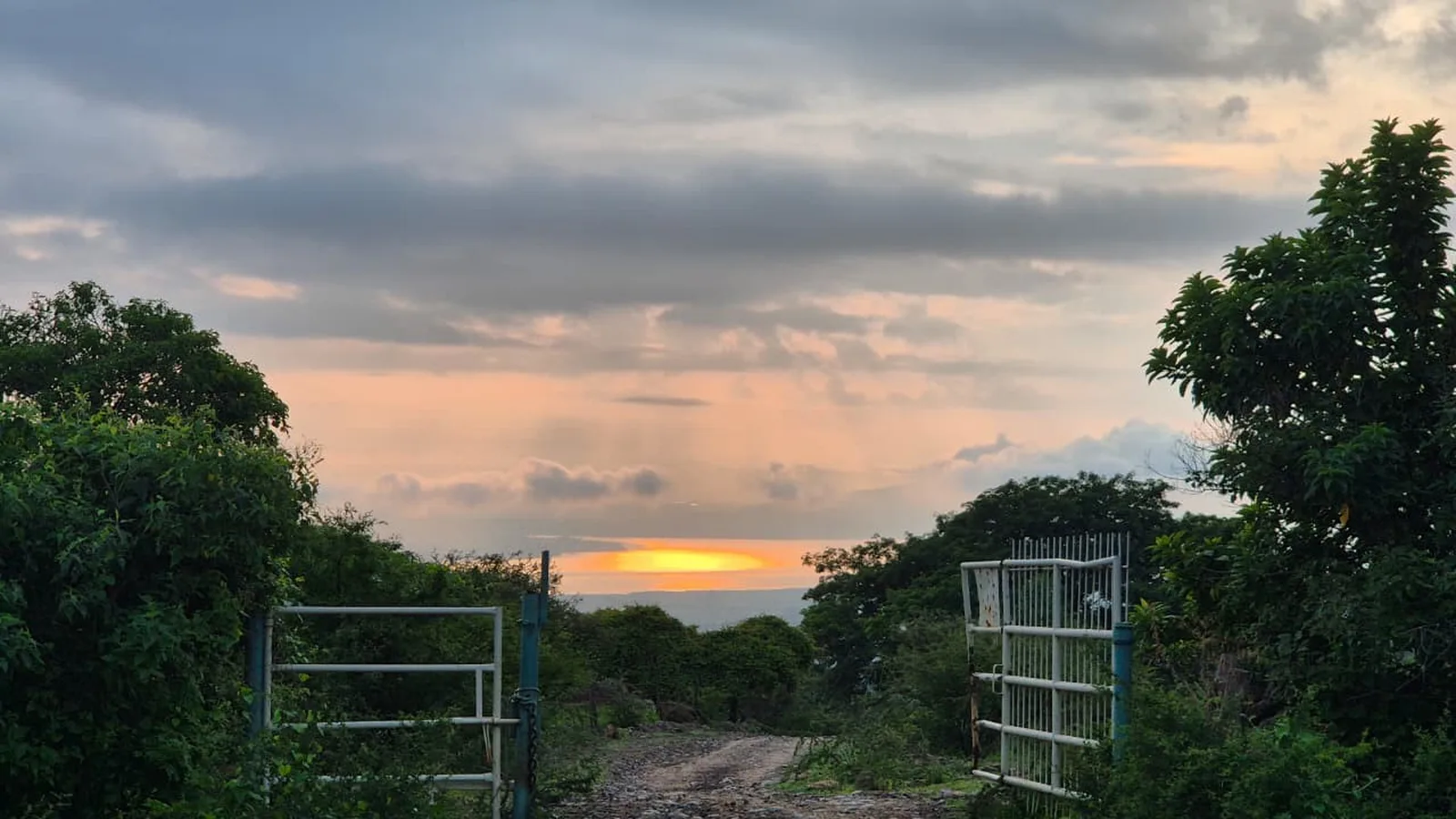
This route can be done comfortably in any season of the year, but the hill offers us its best side during and after the rainy season.
Warnings

Level
i
Packing List
How to get there
Trailhead Access
Starting from downtown Guadalajara, we can take the road to Colima (Lopez Mateos) or the road to Chapala. The start of the route is in the town of San Miguel Cuyutlán, which is reached via the Southern Metropolitan Circuit, which intersects both highways. When you arrive in San Miguel, take Juárez Street to the south. Eventually, the paved road ends and you continue along dirt roads (approximately 400 m) to reach the San Miguel Cuyutlán Sports Unit. There is a parking lot and an access booth there. If you have a tall vehicle or a 4x4 vehicle, you can continue up a dirt road and shorten the distance you have to travel. You can even ride a 4x4 vehicle to the top of the hill, following the route marked in this Wikiloc.
Parking Information
This itinerary begins at the San Miguel Cuyutlán Sports Unit, which has 8 parking spaces. If you have a van, there is a place called “El Pocito”, which is also a common parking spot for this route.
Fees & Park Hours
August 2026: Access costs are: $30 for pedestrians and cyclists. $80 motorcycles, vans and cars. Access to Razrs is no longer allowed.
Trail Overview
Excellent. This itinerary goes up a wide, dirt road, so it requires only basic orientation skills.
Recommended Gear
- Hands free lamp (mining type) - Hiking sticks - Thermal blanket - External battery (PowerBank) - Sunscreen - First Aid Kit or First Aid Kit

Elevation Gain
1297 m
Total Distance (Out & back)
26.13 km
Total Time
7 h 58 m
Max Elevation
2932 msnm
Level 7 (Scale from 1 to 10). This route accumulates just over 1300 m of positive elevation gain, making it a route that requires very good physical condition. The slope along the route is quite noble, since it is a path used by vans to climb the antennas.