
Cerro de Bugambilias - Ruta Larga - Zapopan, JAL
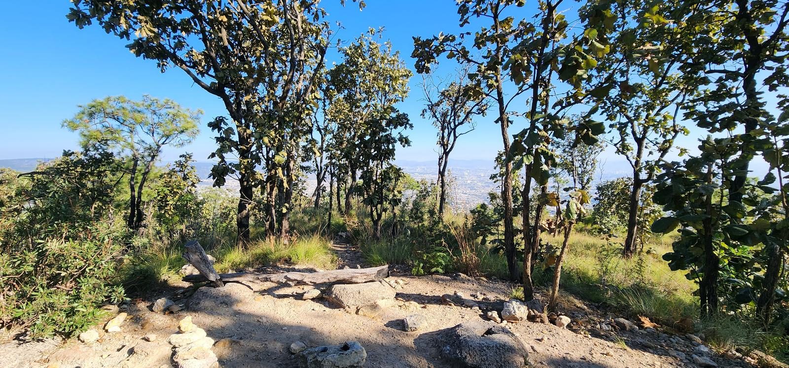
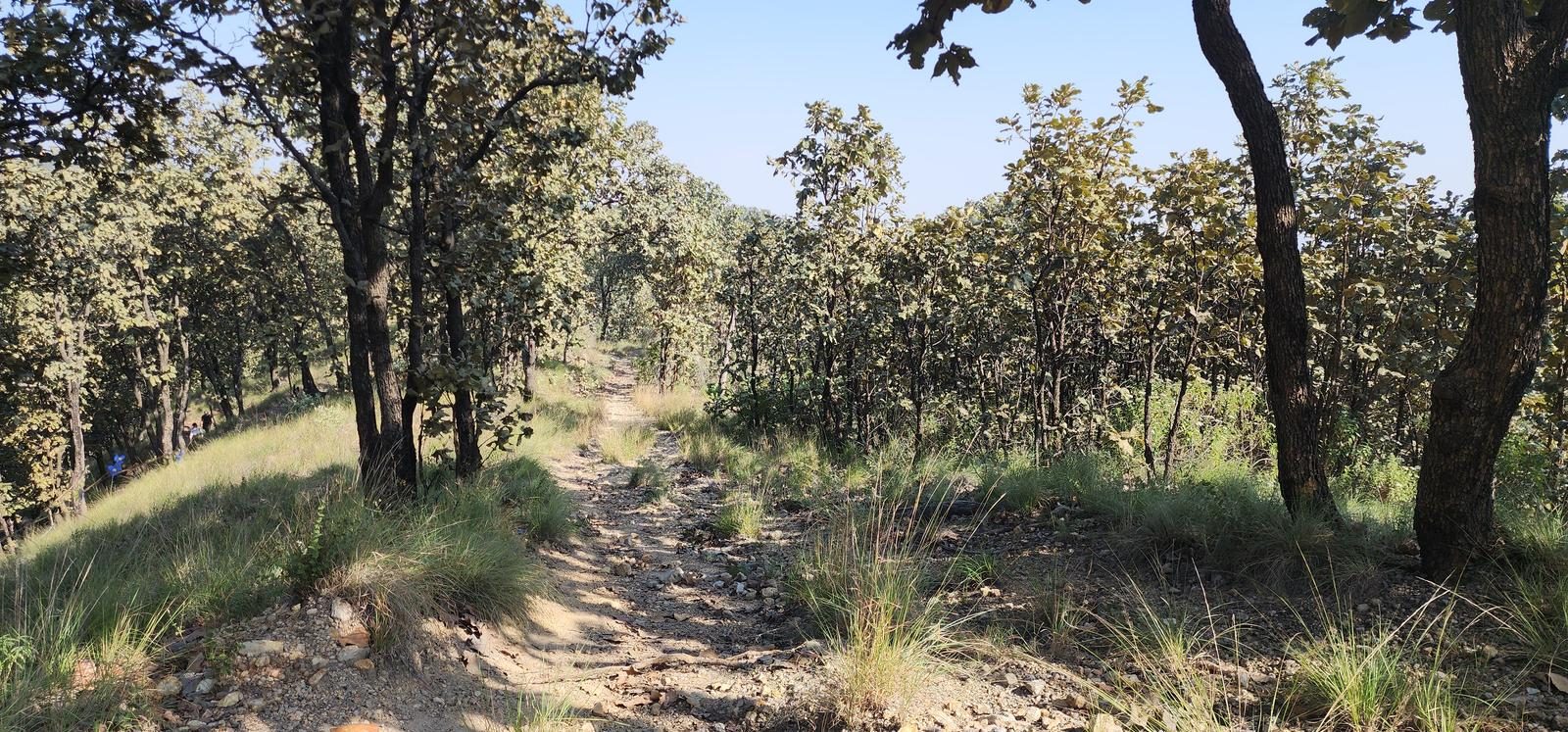
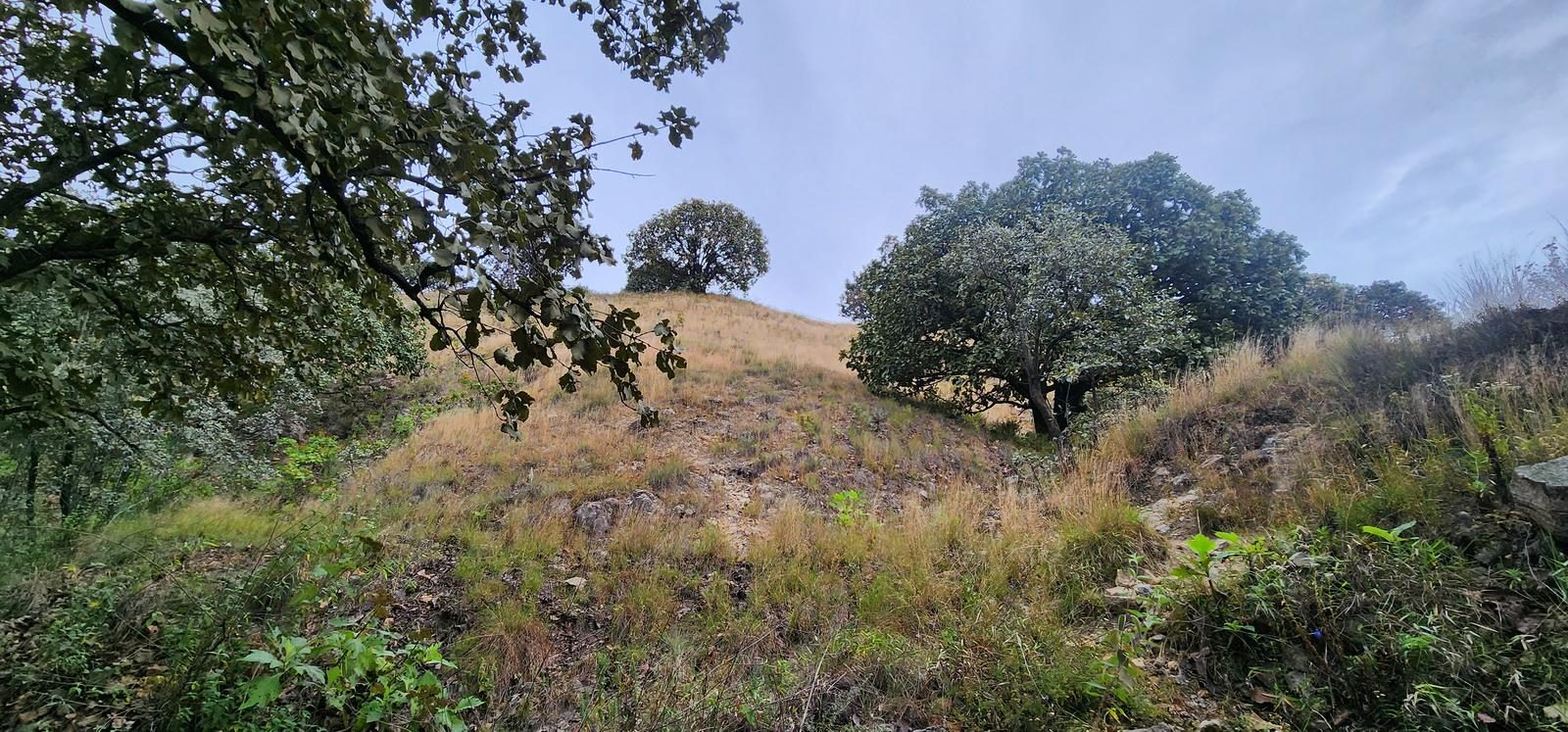
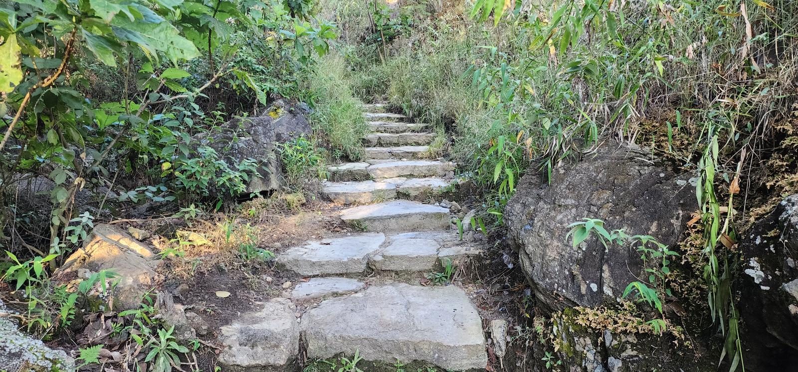
Cerro de Bugambilias - Ruta Larga - Zapopan, JAL
Jalisco, Zapopan
359 m
7.37 km
2 h 14 m
2023 msnm
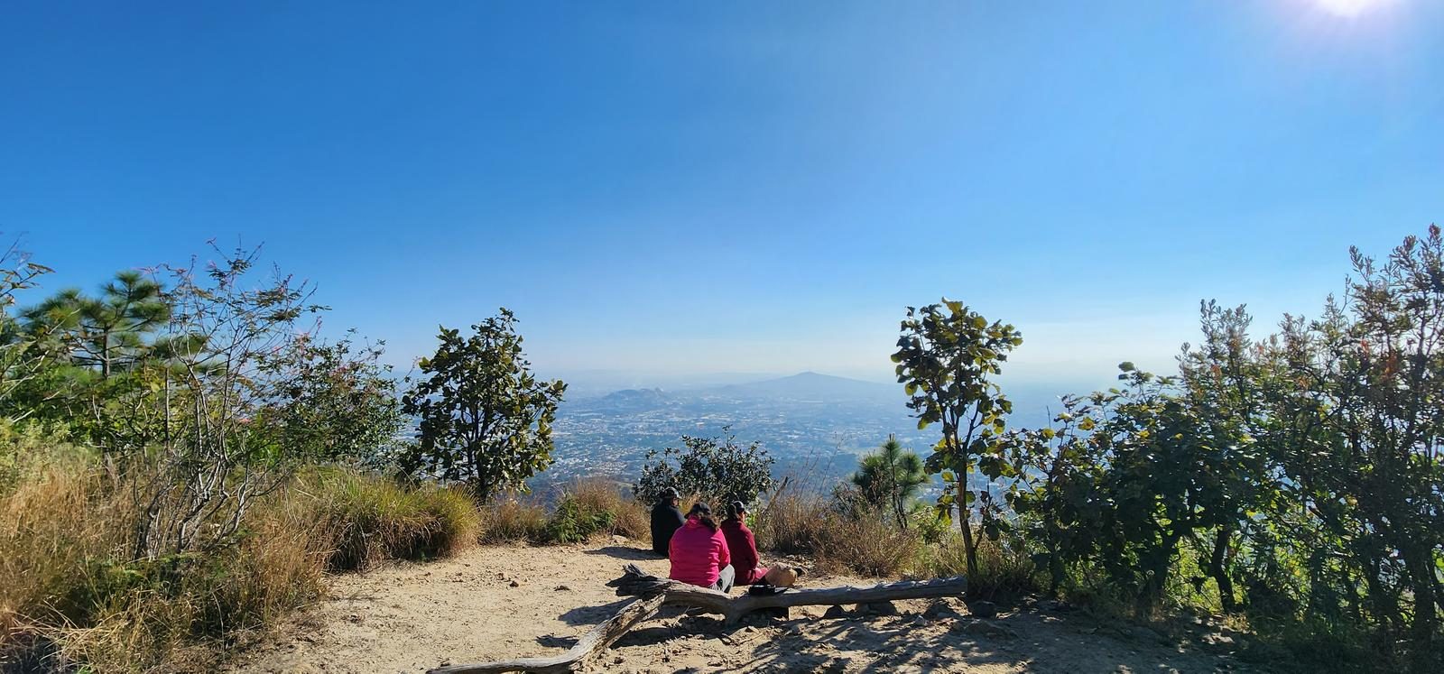
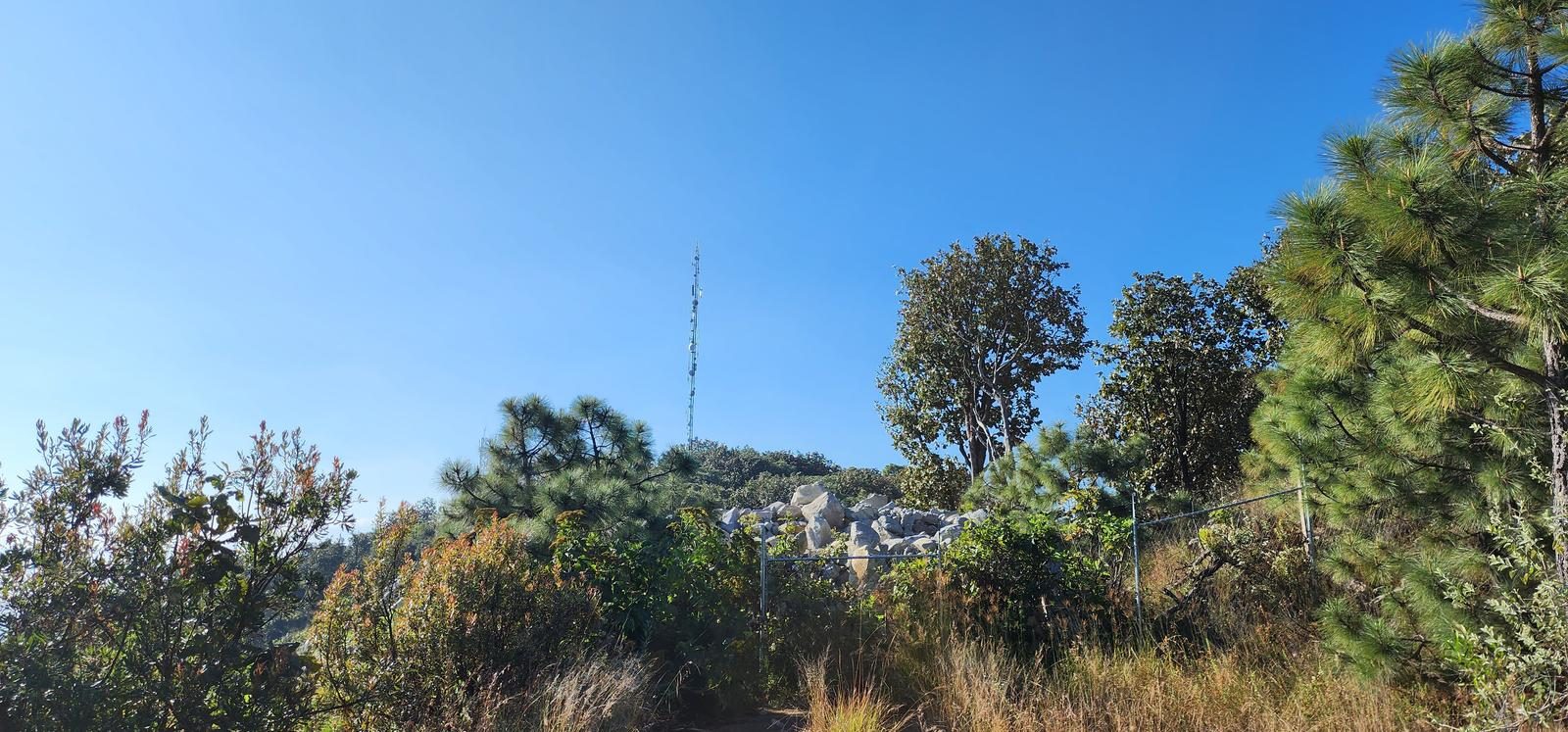
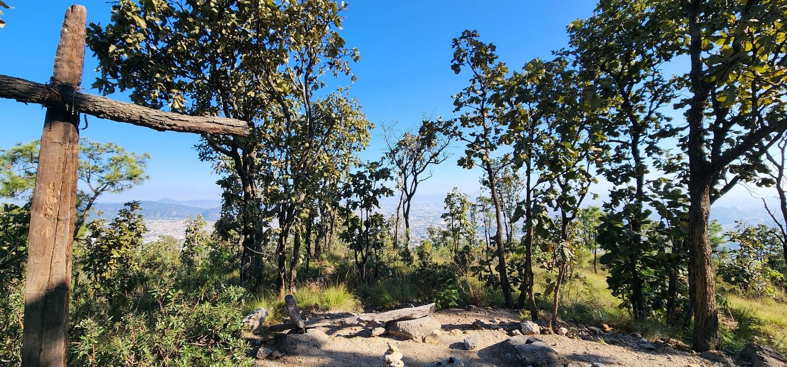
Same summit as the direct route, with the climbing spread over 7 km. Guadalajara's trail runners lap it several times in one morning.
📢 Alerts & Updates
This route can be done comfortably in any season of the year.
Level
i
Packing List
How to get there
Trailhead Access
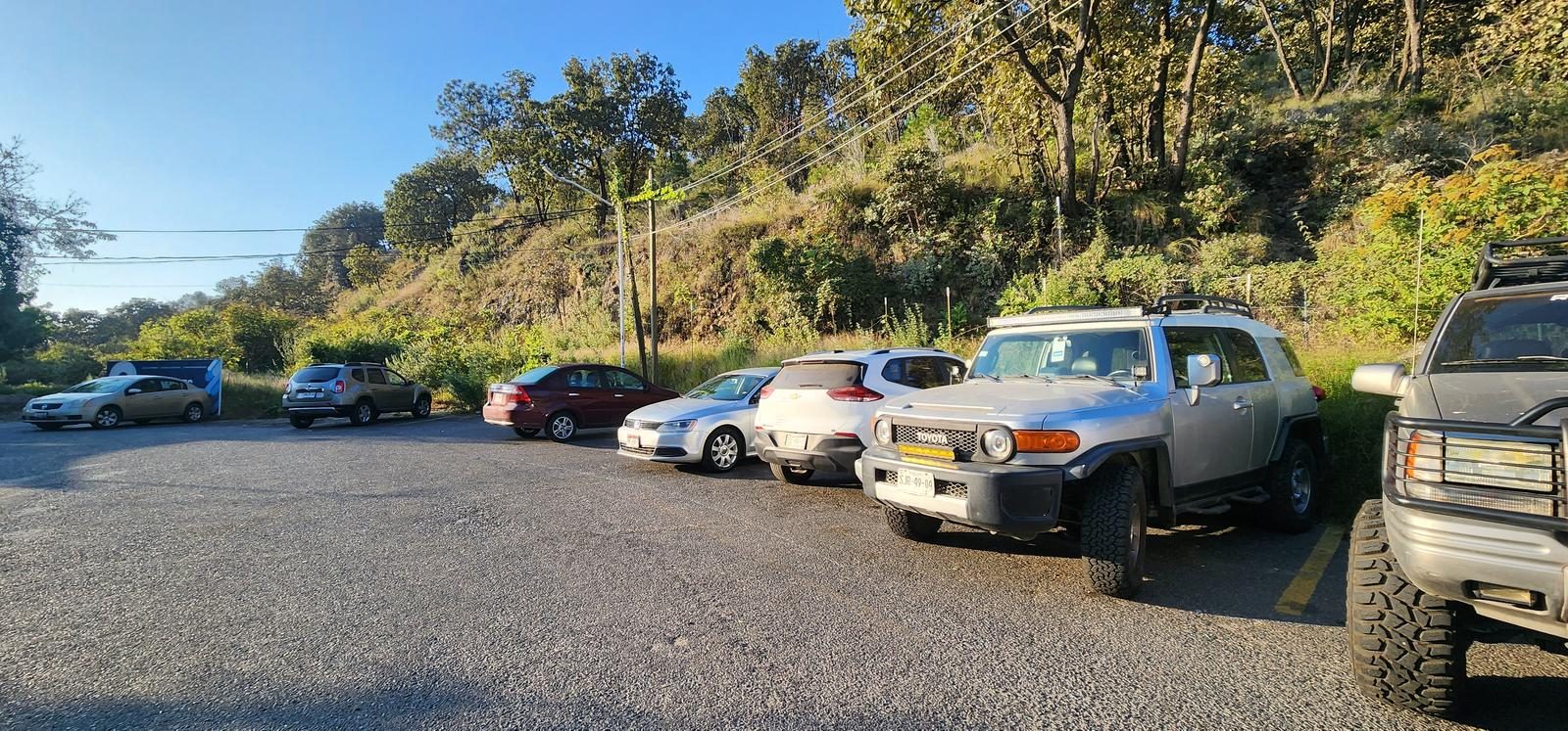
This trail is located in the southern part of the city of Zapopan, Jalisco, in Ciudad Bugambilias. Within this neighborhood, we located the “Cumbres International School Guadalajara” school and, in the upper part of the school, we will find a large parking area. The start of the sidewalk is behind an announcement from the school (Waypoint: Entrance).
Parking Information
Parking is on the street, you just have to avoid obstructing access to the school and respect the times when parking is prohibited in that area: Monday to Friday, from 6:30 to 7:30 and from 13:30 to 15:00.
Fees & Park Hours
As of January 15, 2025, this route does not involve access costs.
Trail Overview
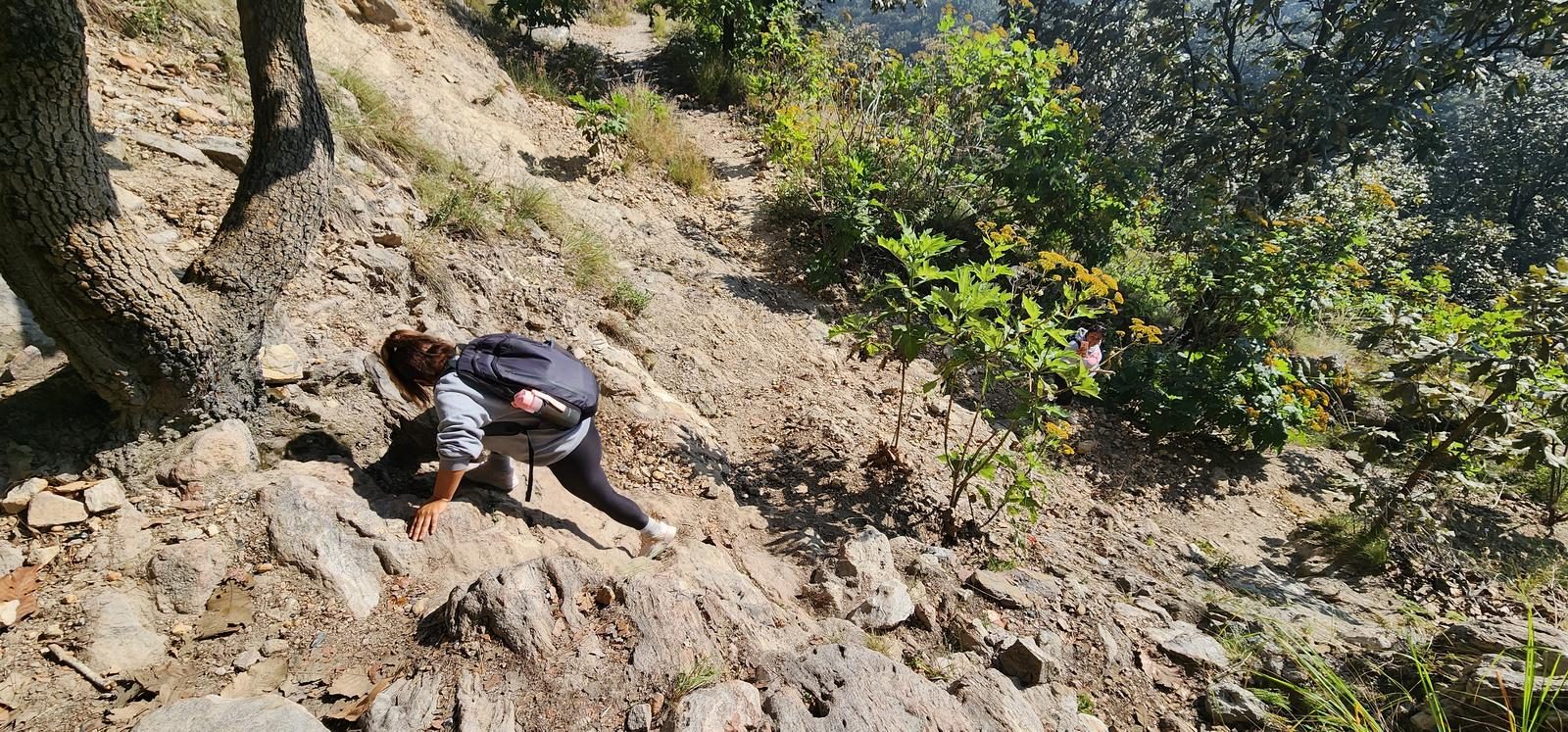
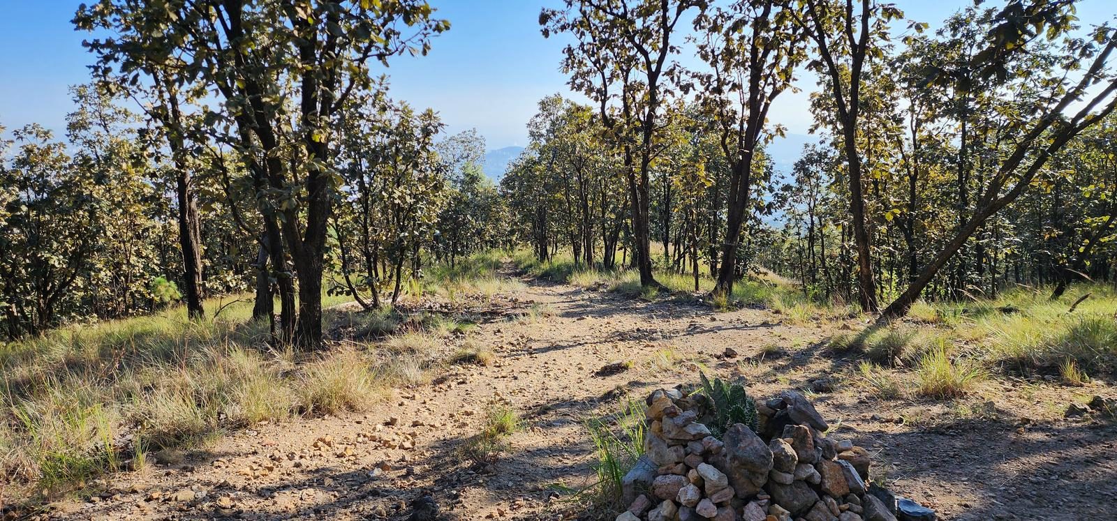
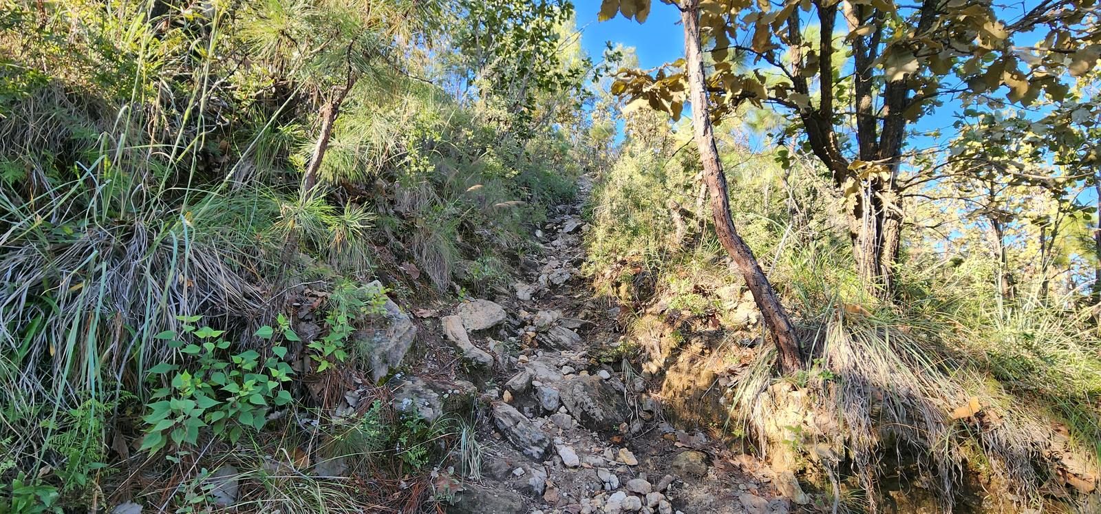
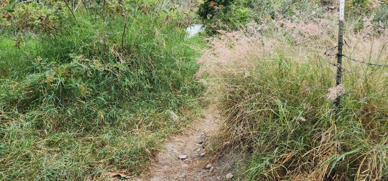
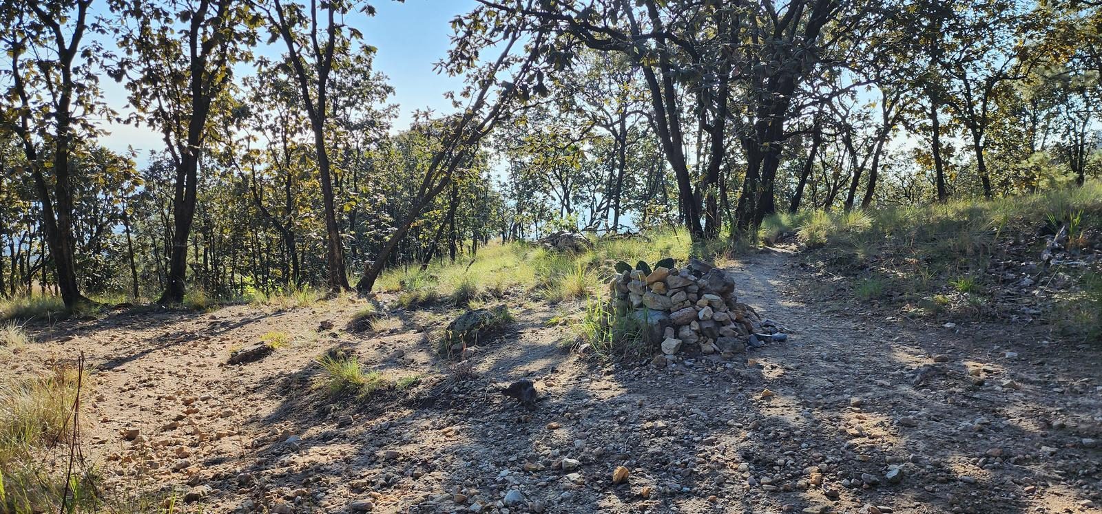
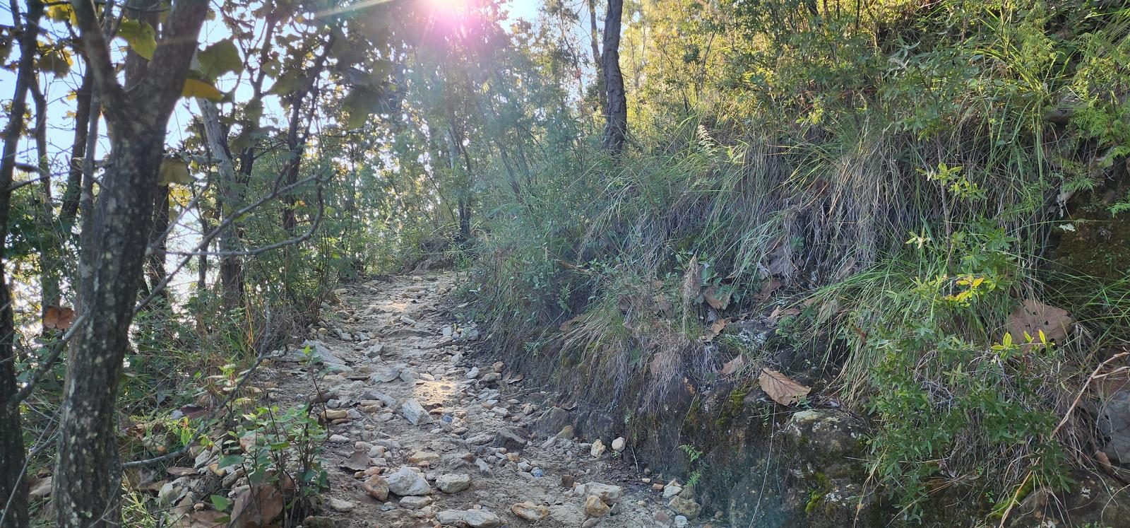
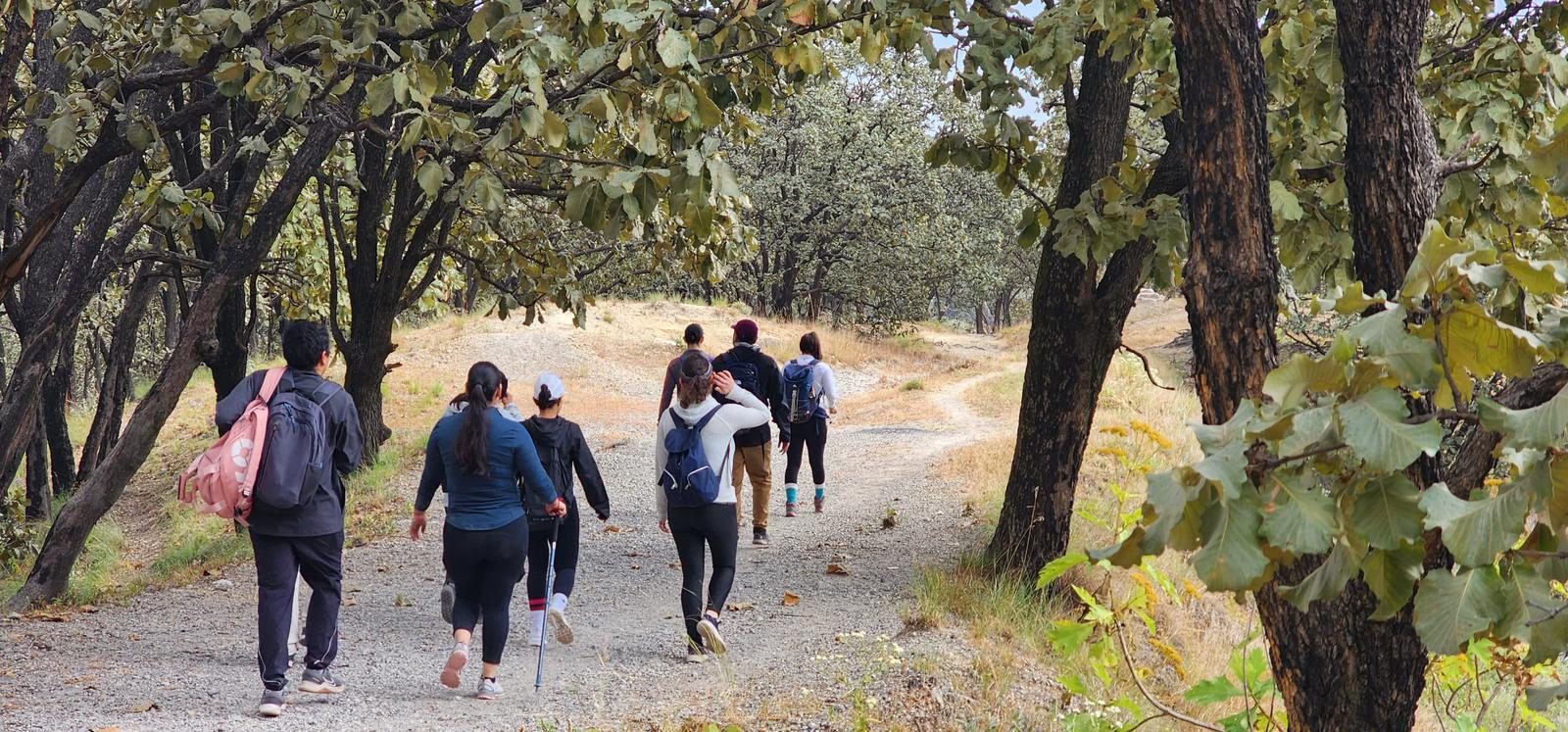
The trail is extremely well defined, as it is very popular with hikers. However, despite the well-defined nature of the route, there are route variants that could confuse us and take us to a different place. It is important to pay attention to the GPS trace when we take this route so as not to stray.
Recommended Gear
- Hands free lamp (mining type) - External battery (PowerBank) - Sunscreen - First Aid Kit or First Aid Kit
Elevation Gain
359 m
Total Distance (Out & back)
7.37 km
Total Time
2 h 14 m
Max Elevation
2023 msnm
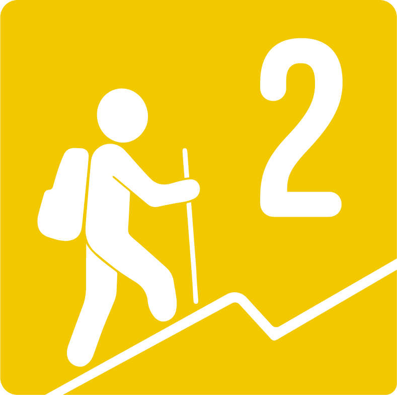
It is classified as level 2, since it offers us a cumulative slope of almost 300 m. Difficulty level 2 covers a range between 200 and 400 m of positive elevation gain, according to our route classification scale. It is a route suitable for beginners in hiking.