
Cerro de García - San Luis Soyatlán, JAL
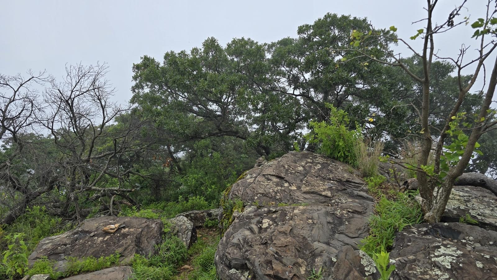
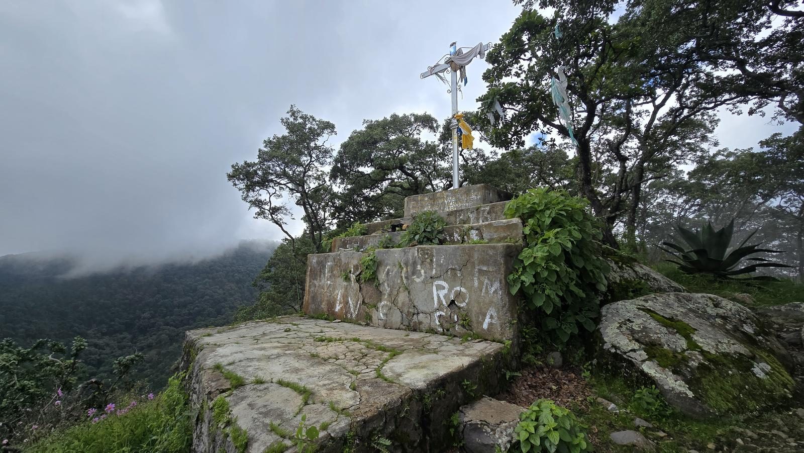
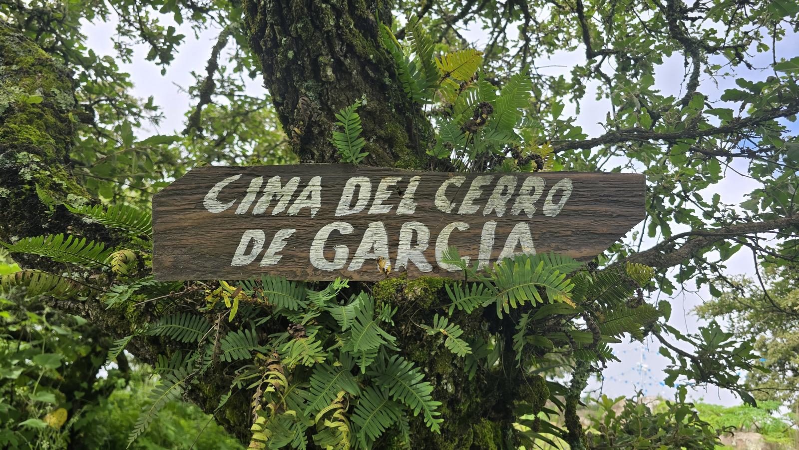
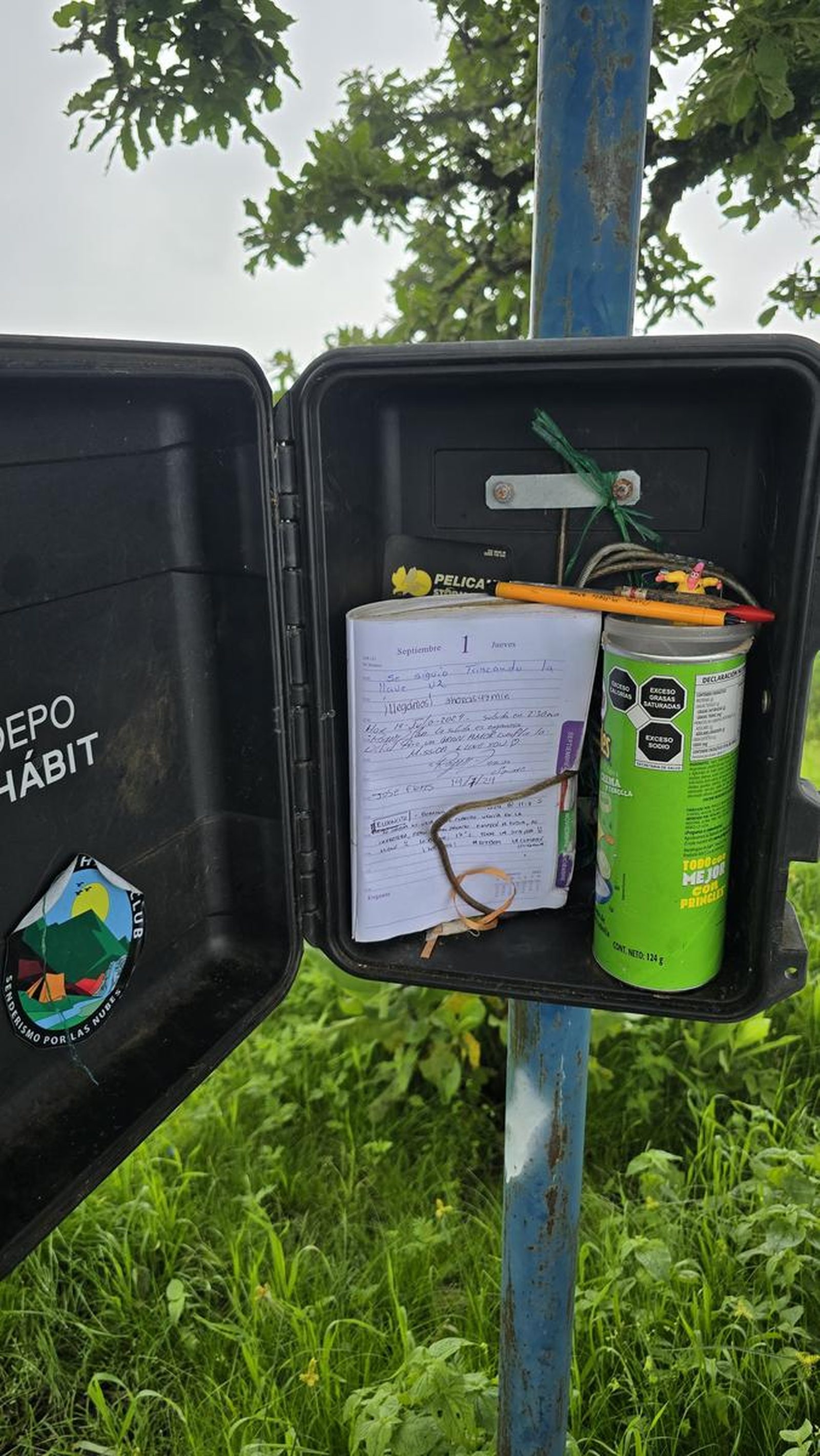
Cerro de García - San Luis Soyatlán, JAL
Jalisco, Tuxcueca
1088 m
10.57 km
4 h 9 m
2666 msnm
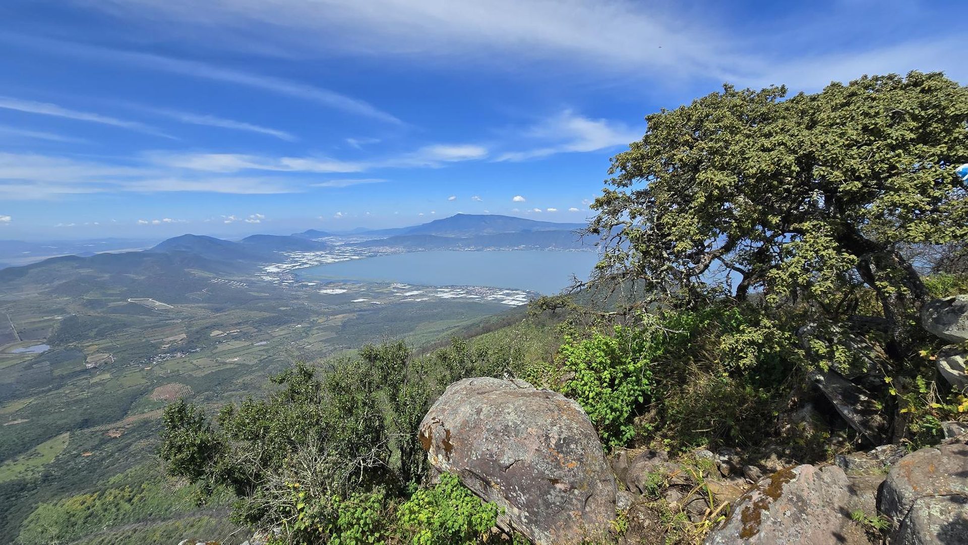
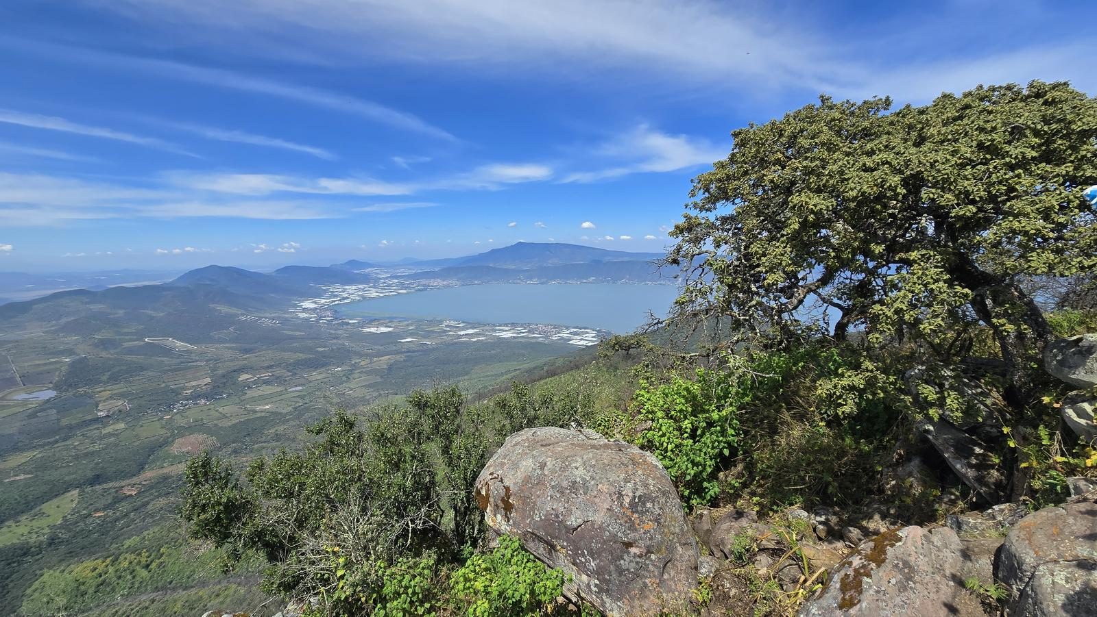
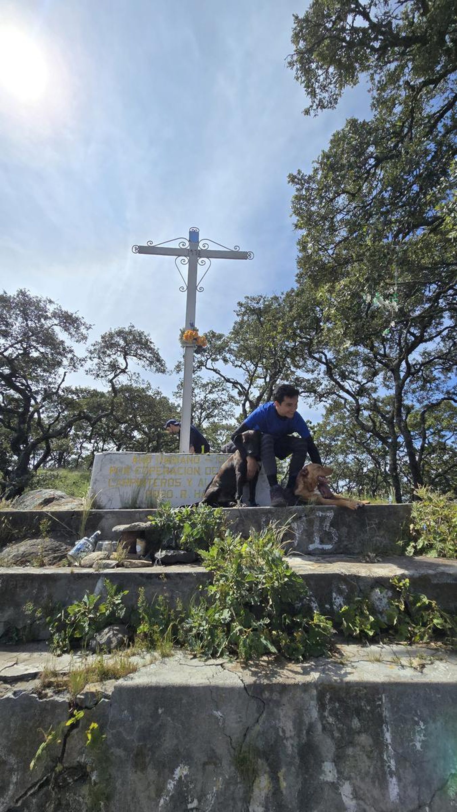
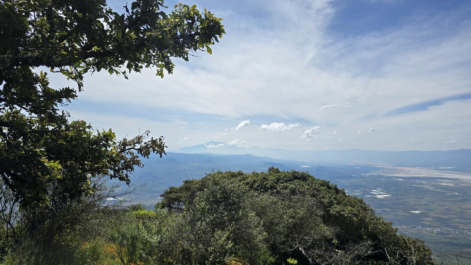
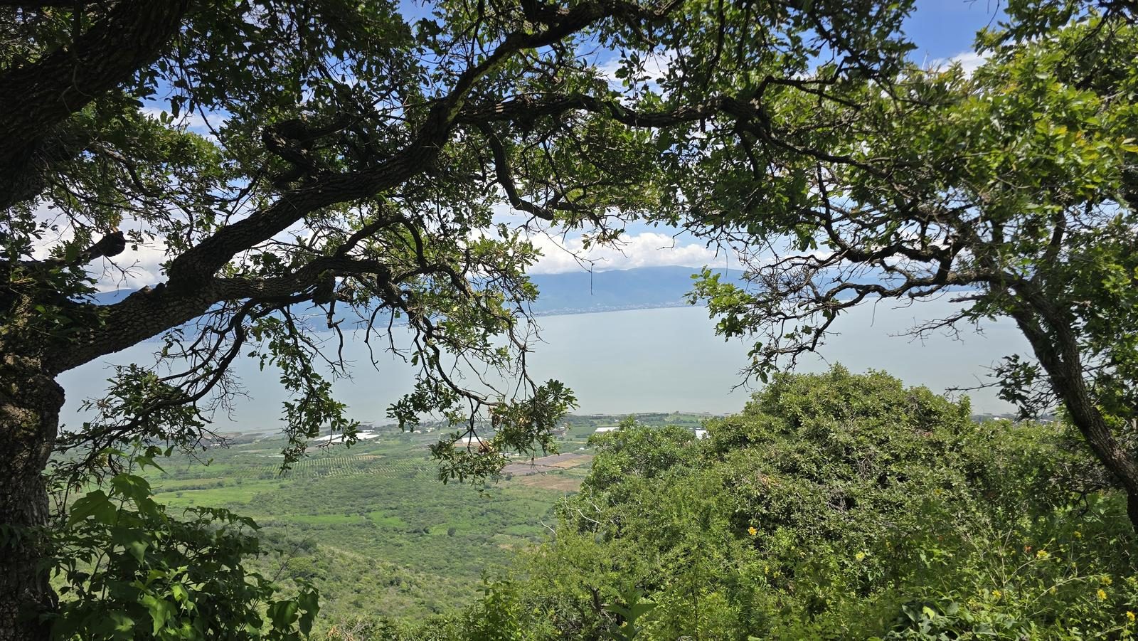
Over 1,000 m of gain in 5 km of climbing. Cerro de García is one of the highest points on the Chapala shoreline, and down in San Luis Soyatlán the vampiritos are the obligatory stop.
📢 Alerts & Updates
This route can be done comfortably in any season of the year.
Level
i
Packing List
How to get there
Trailhead Access
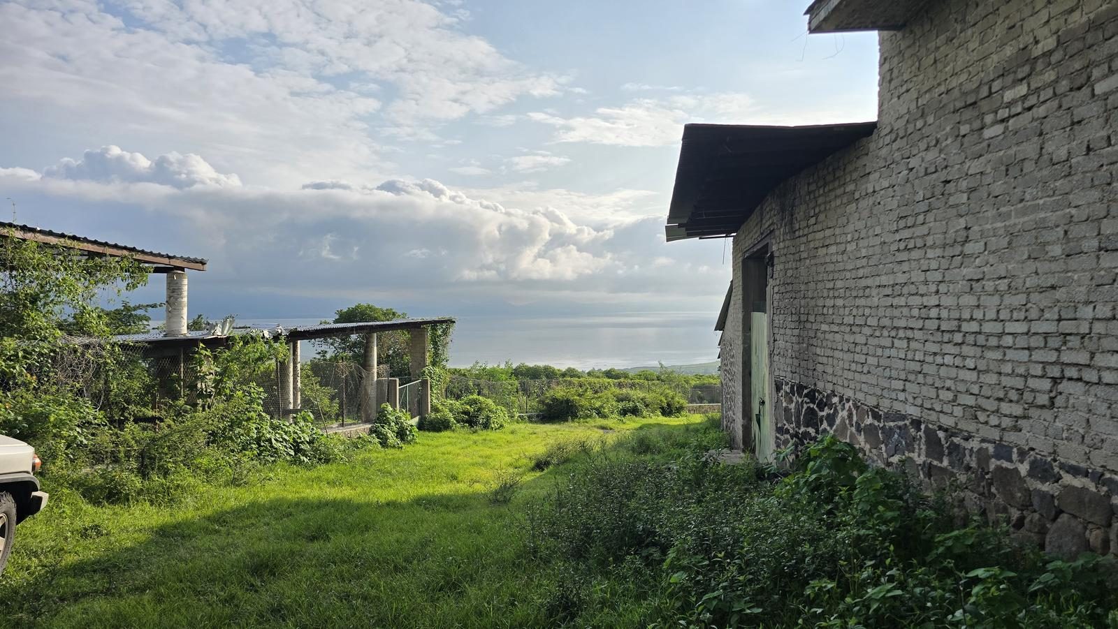
Starting from downtown Guadalajara, we take Lopez Mateos Avenue heading to Colima. Shortly after the Macrolibration, we will take the exit to Mazamitla (Highway 15). Approximately 39 km later, we will be arriving at the town of San Luis Soyotlán. We will turn right on Prolongación Pino Suarez street; which will take us to the beginning of the route.
Parking Information
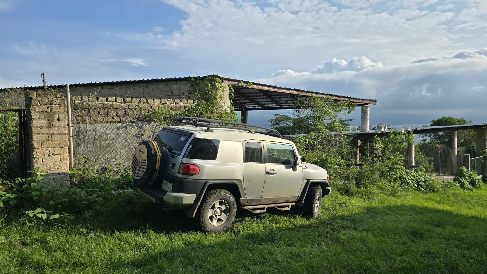
There is no parking as such, but vehicles are commonly left on the side of the gap, without obstructing access to the ranch. If you don't have an all-terrain vehicle, you can choose to park at the Emiliano Zapata school (Pino Suarez x 5 de Mayo), so as not to obstruct roads or houses; only this would add approximately 3 km of distance and 160 m of unevenness to the route.
Fees & Park Hours
April 2026: This route has no access costs.
Trail Overview
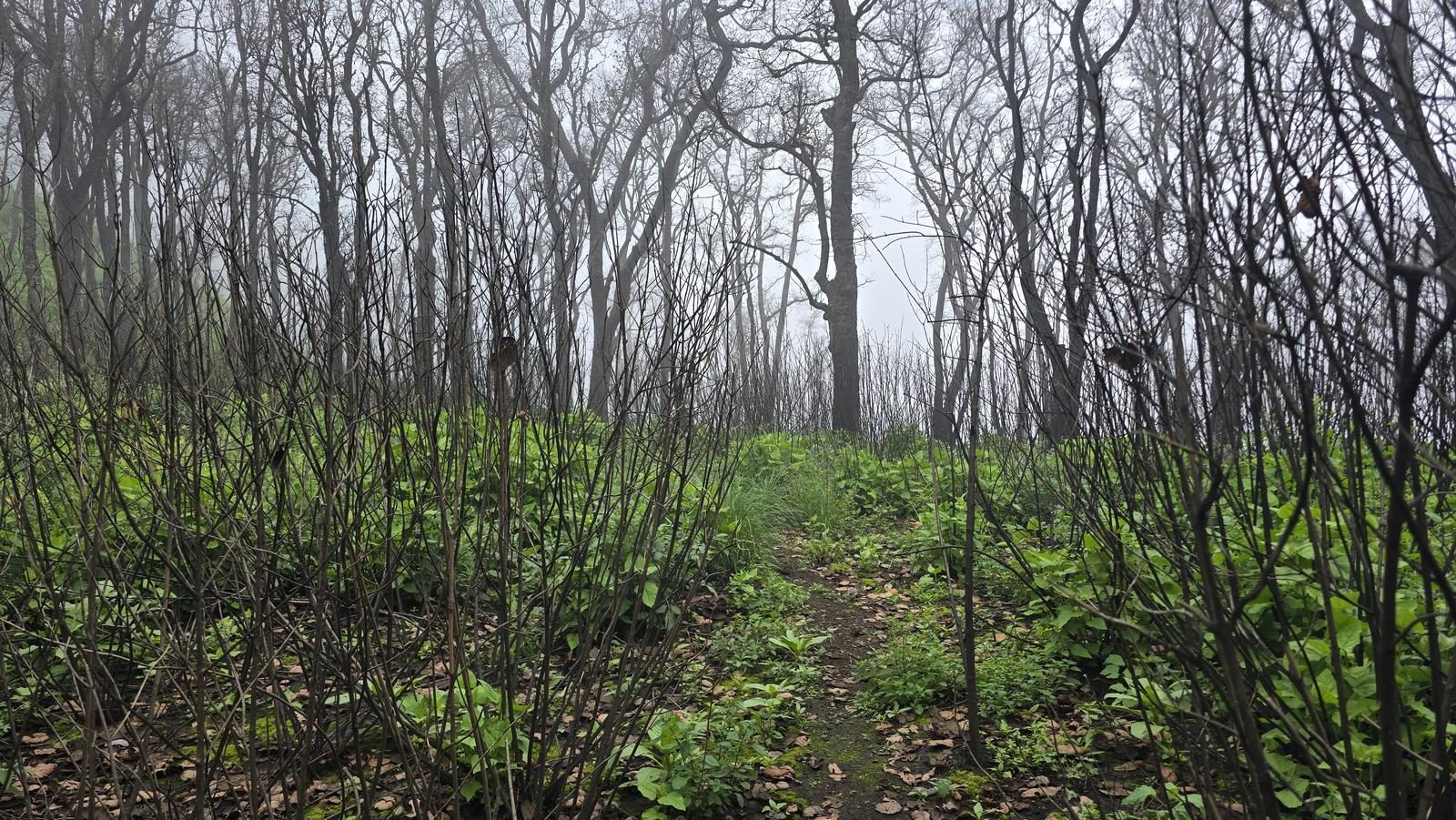
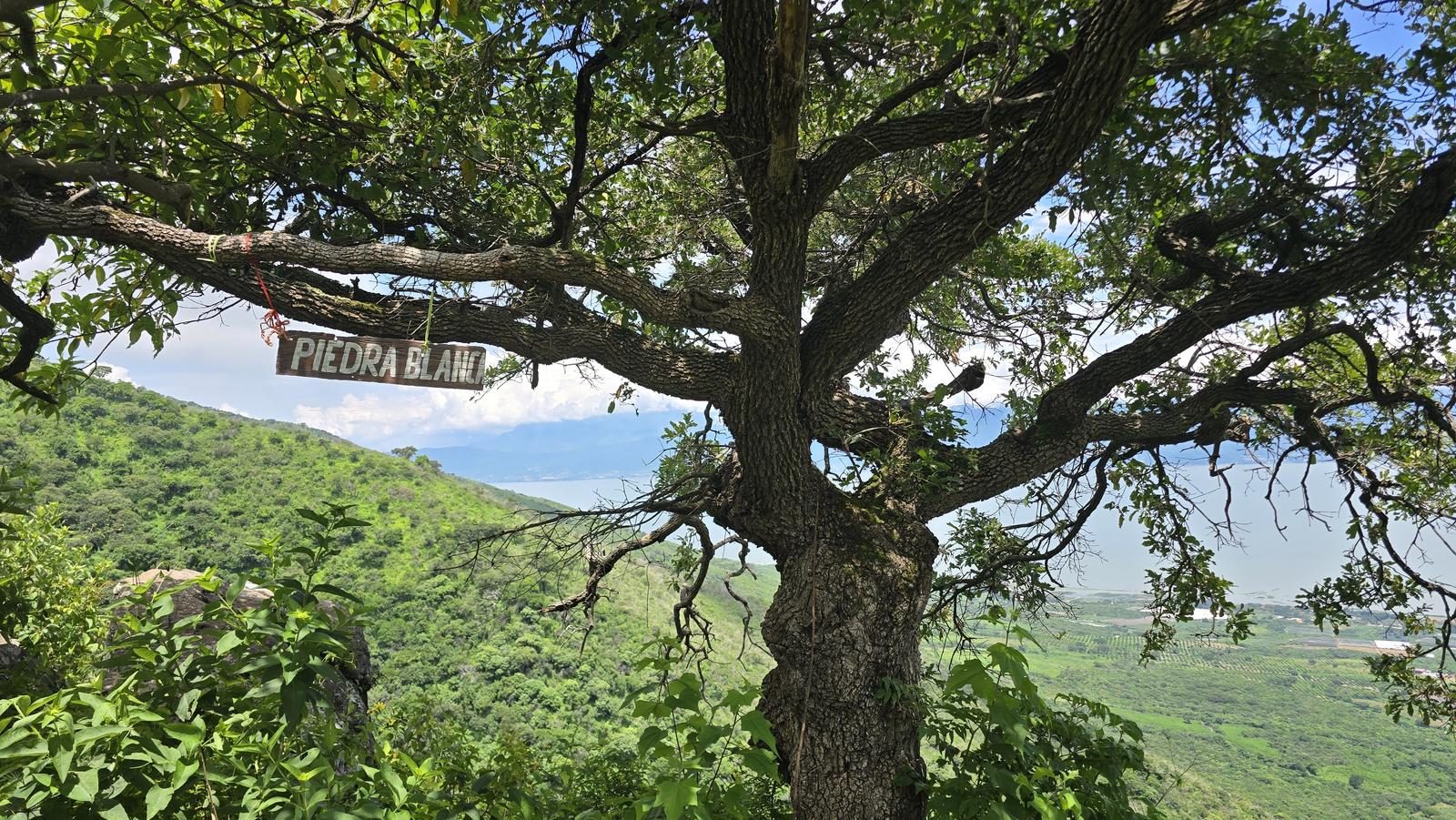
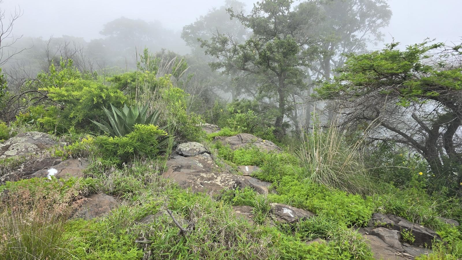
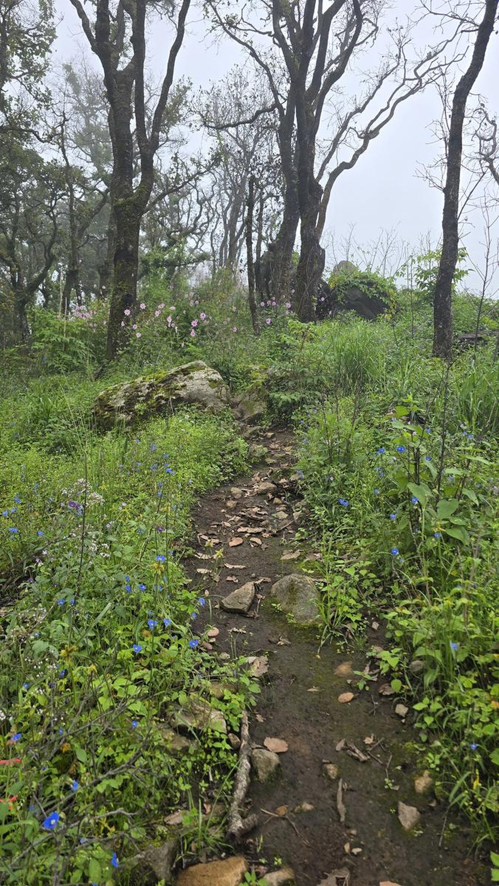
Excellent. This route is very popular, so the path is well marked and easy to follow.
Recommended Gear
- Hands free lamp (mining type) - Hiking sticks - Thermal blanket - External battery (PowerBank) - Sunscreen - Insect repellent - First Aid Kit or First Aid Kit
Elevation Gain
1088 m
Total Distance (Out & back)
10.57 km
Total Time
4 h 9 m
Max Elevation
2666 msnm
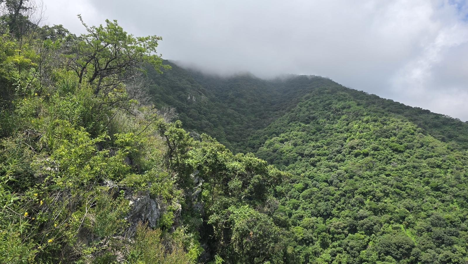
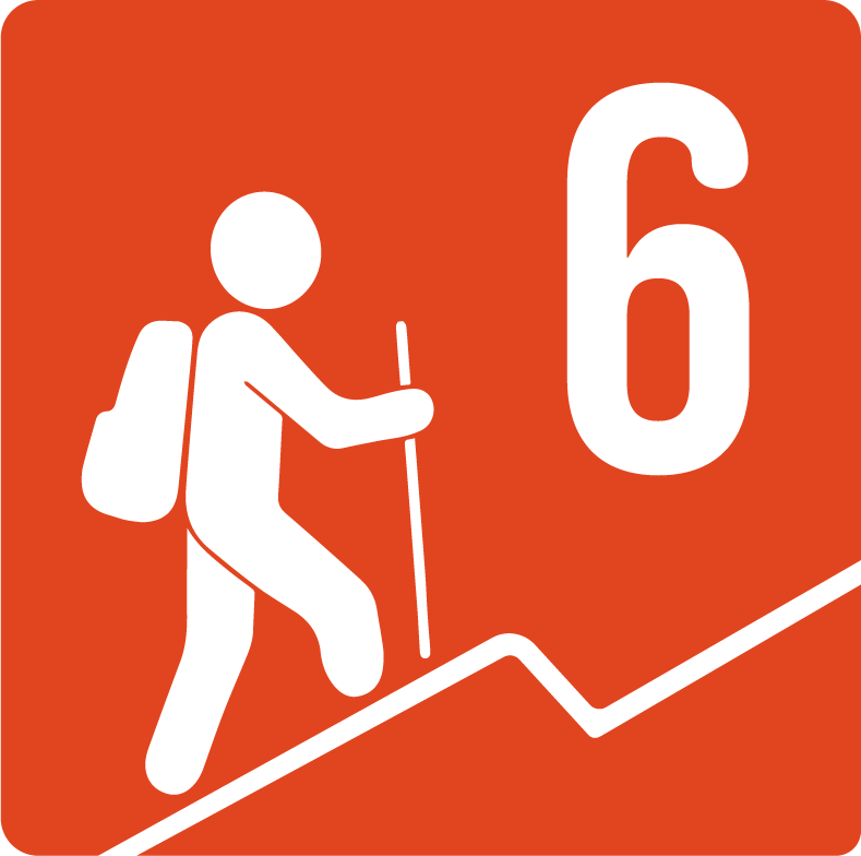
Route level 6, on a scale of 1 to 10. The route is not very long, so we will climb steadily throughout the route. There are at least 4 points where the slope is slightly reduced and are good opportunities to rest. This route requires very good physical condition.