
Cerro el Chapulín - Los Amantes - Bosque la Primavera
Cerro el Chapulín - Los Amantes - Bosque la Primavera
Área de Protección de Flora y Fauna La Primavera, Zapopan
341 m
8.18 km
2 h 23 m
1967 msnm
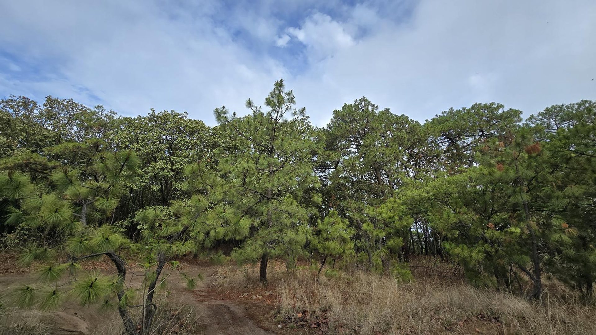
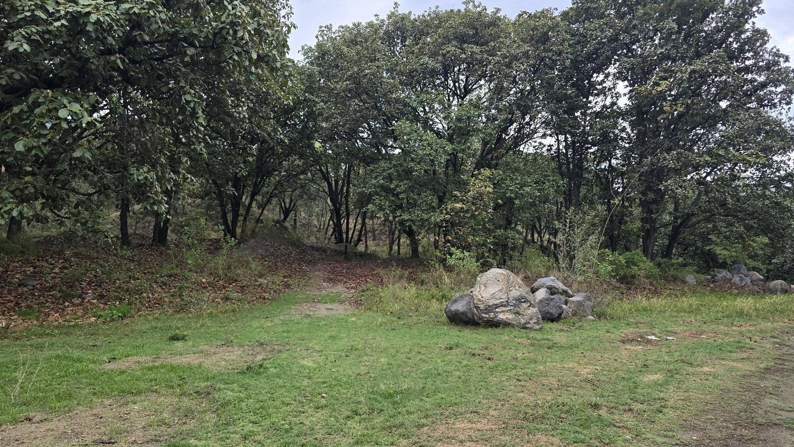
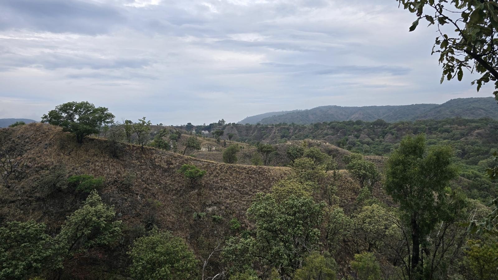
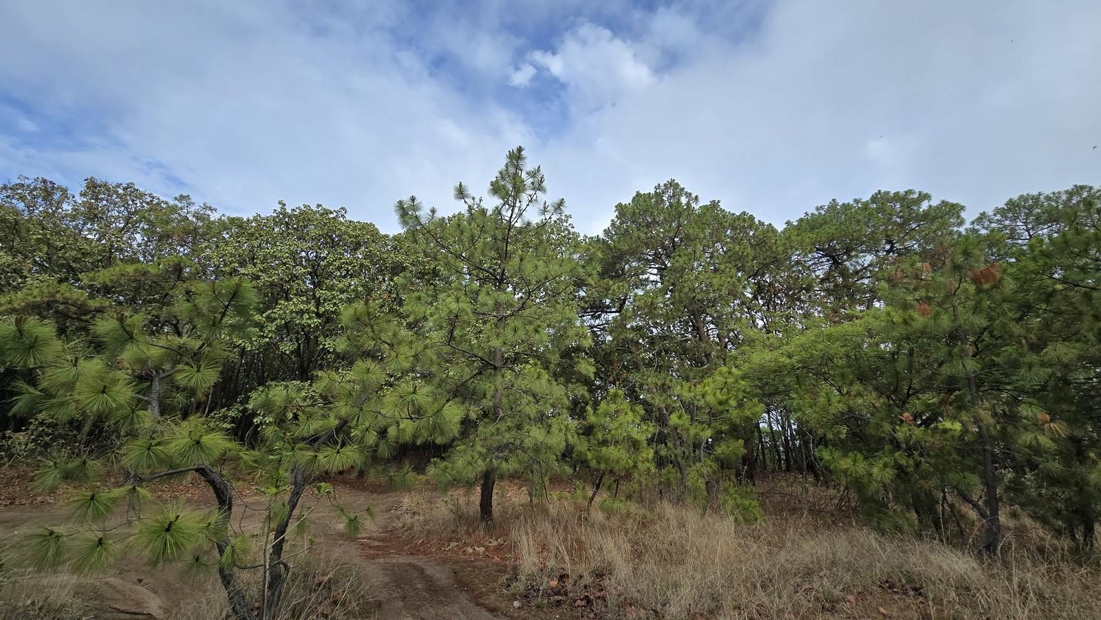
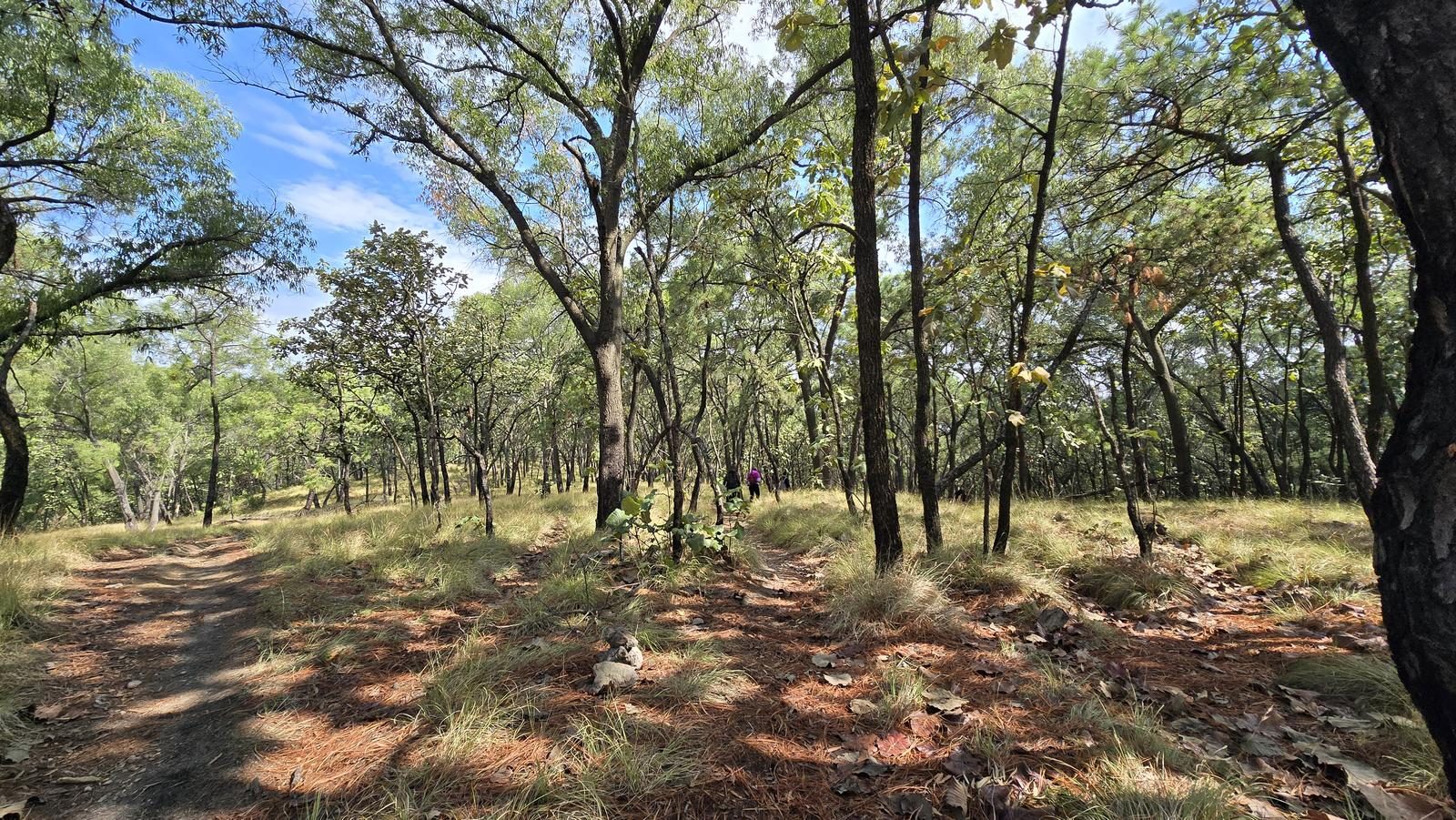
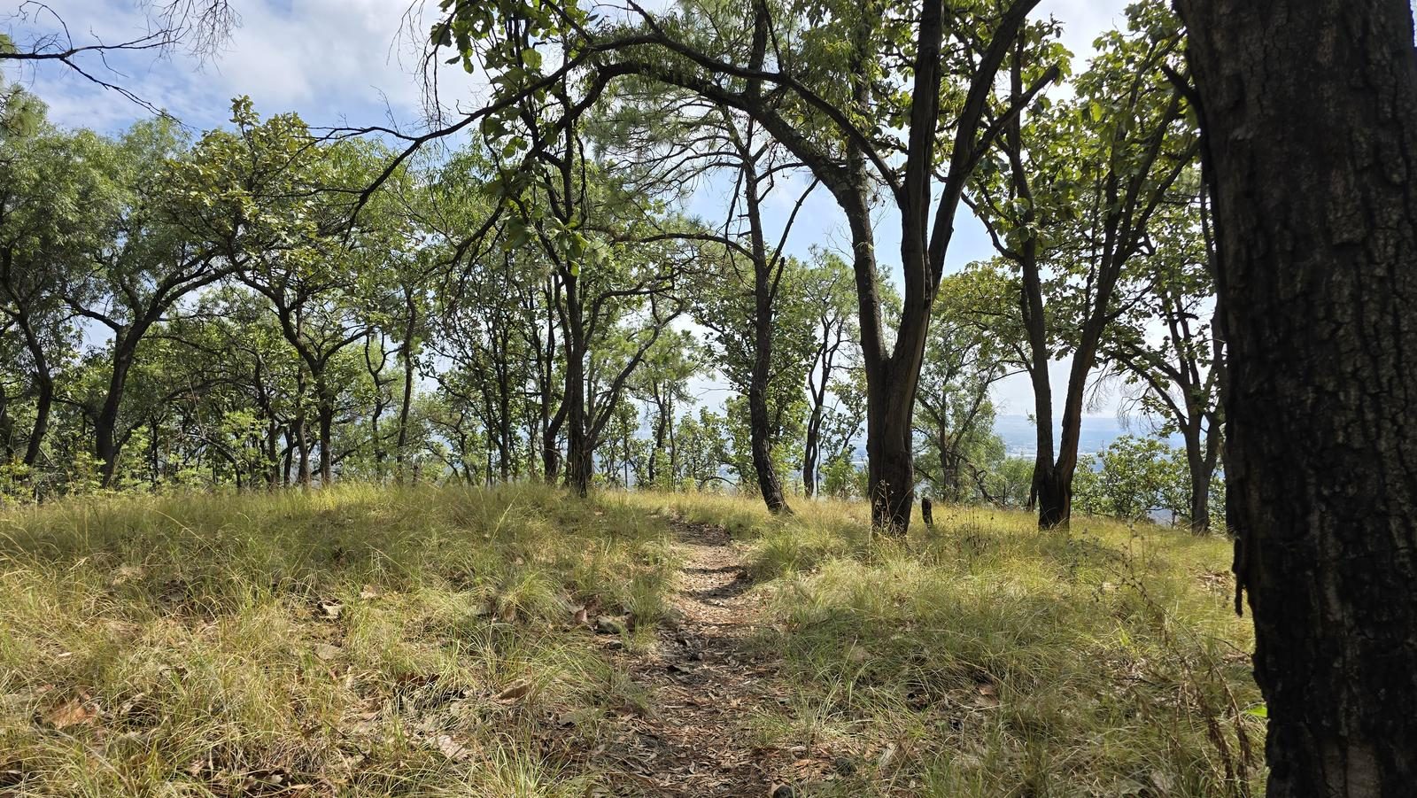
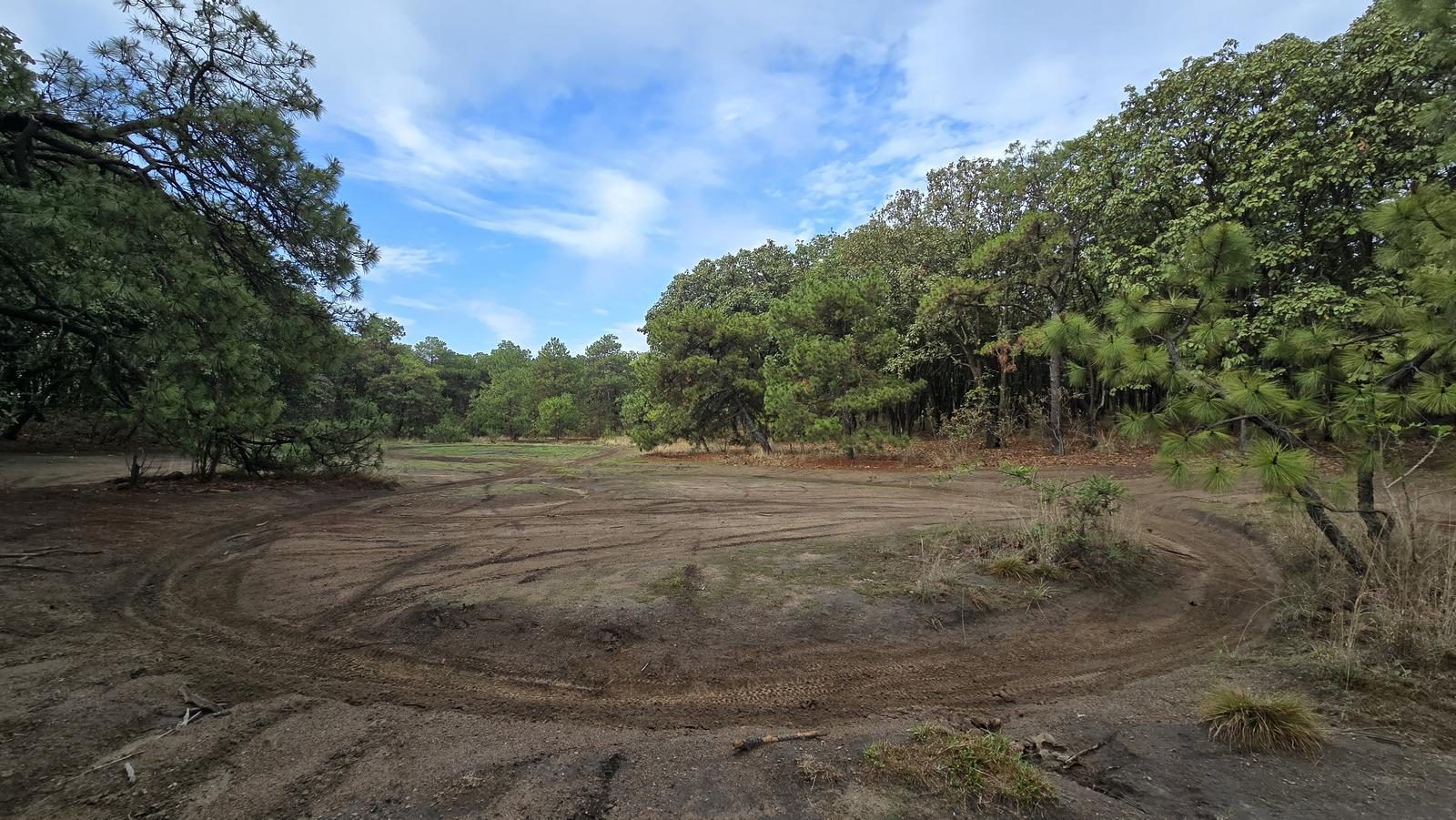
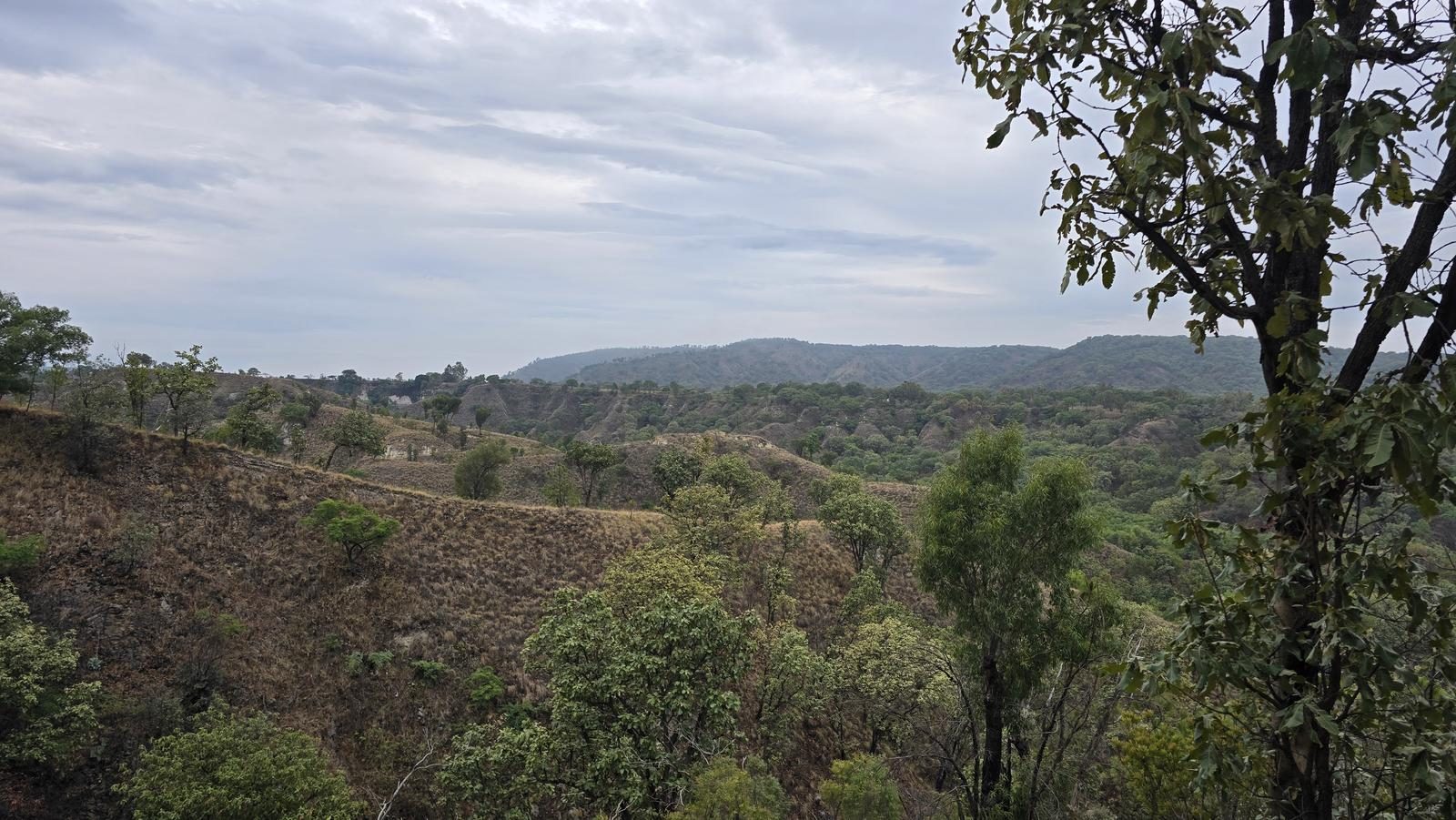
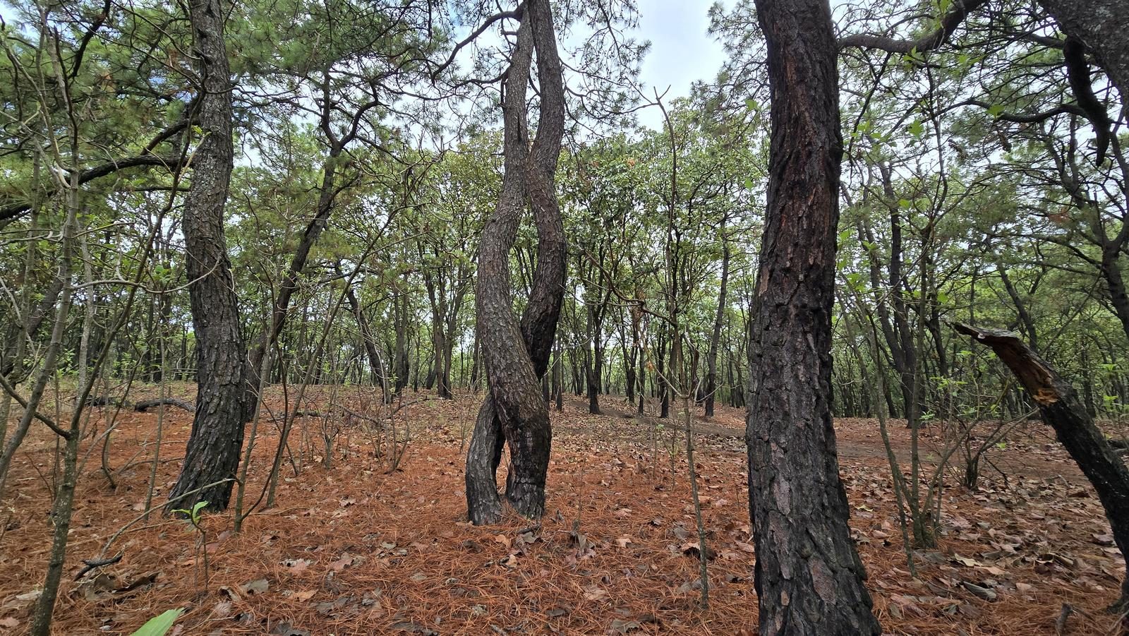
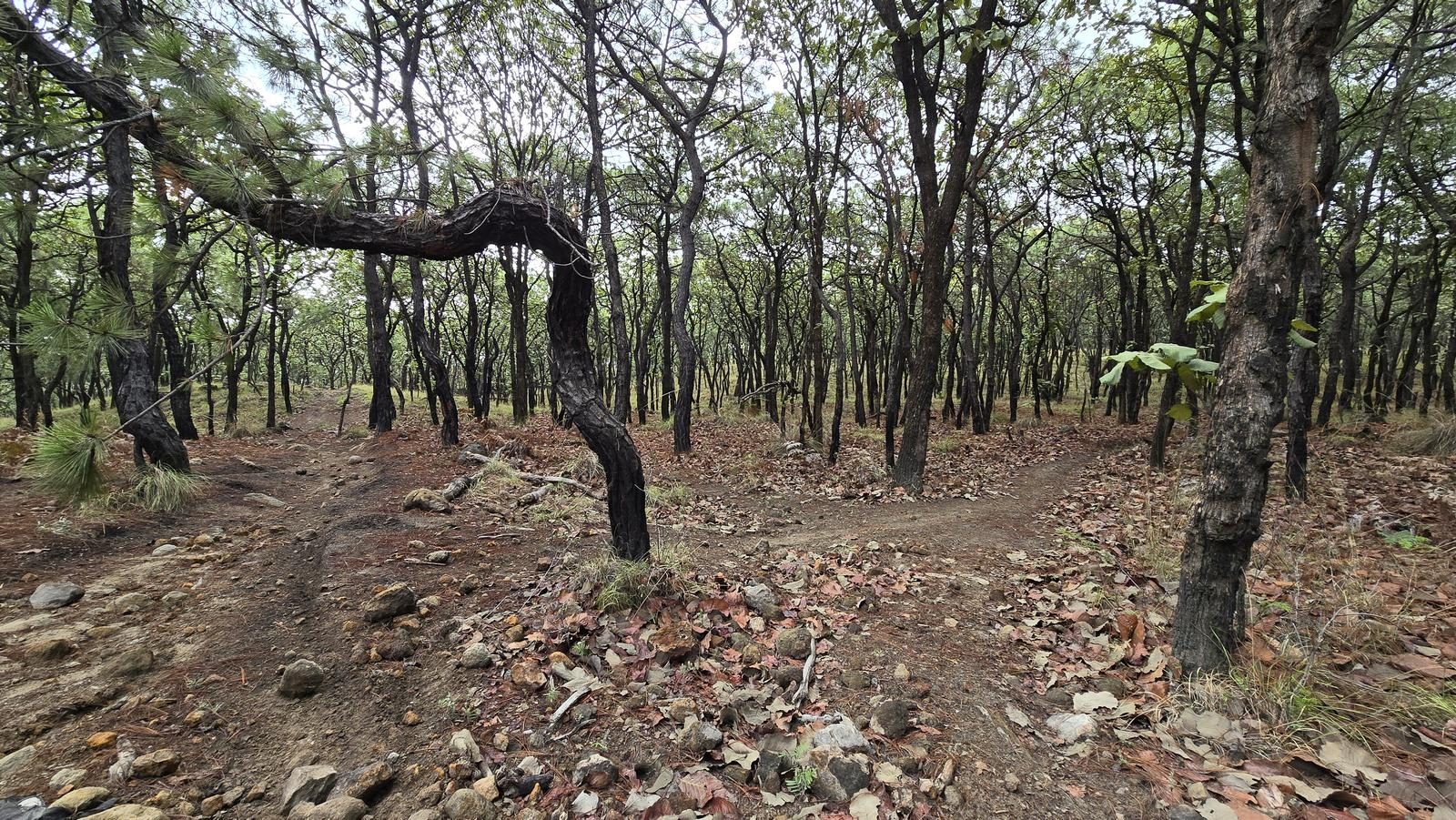
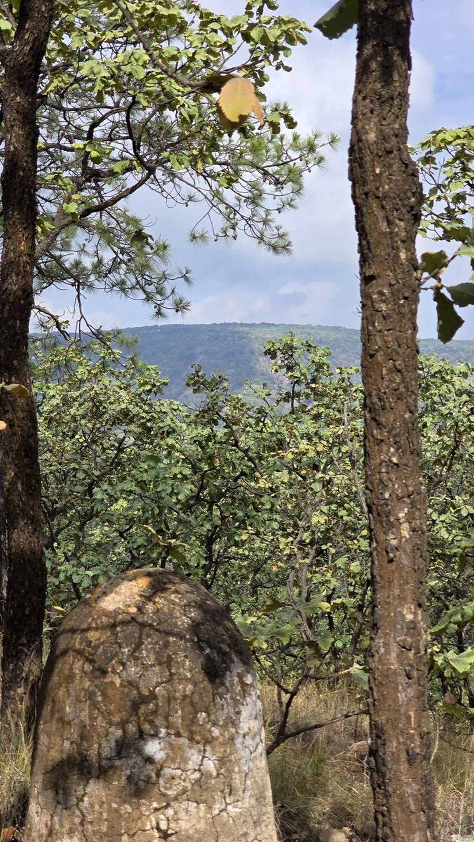
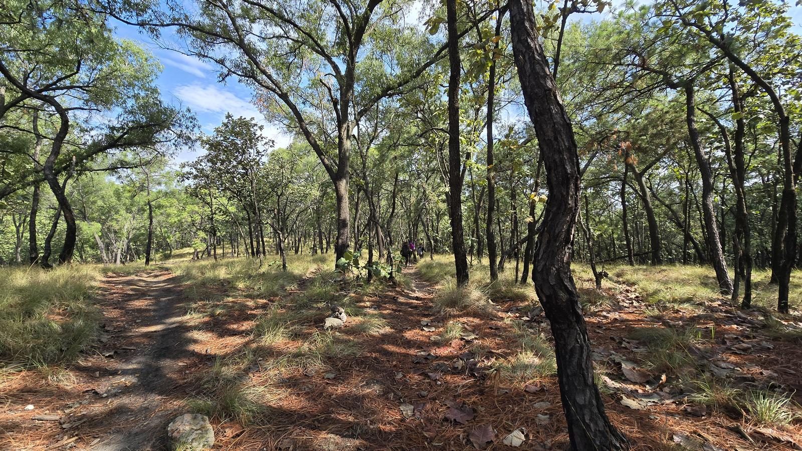
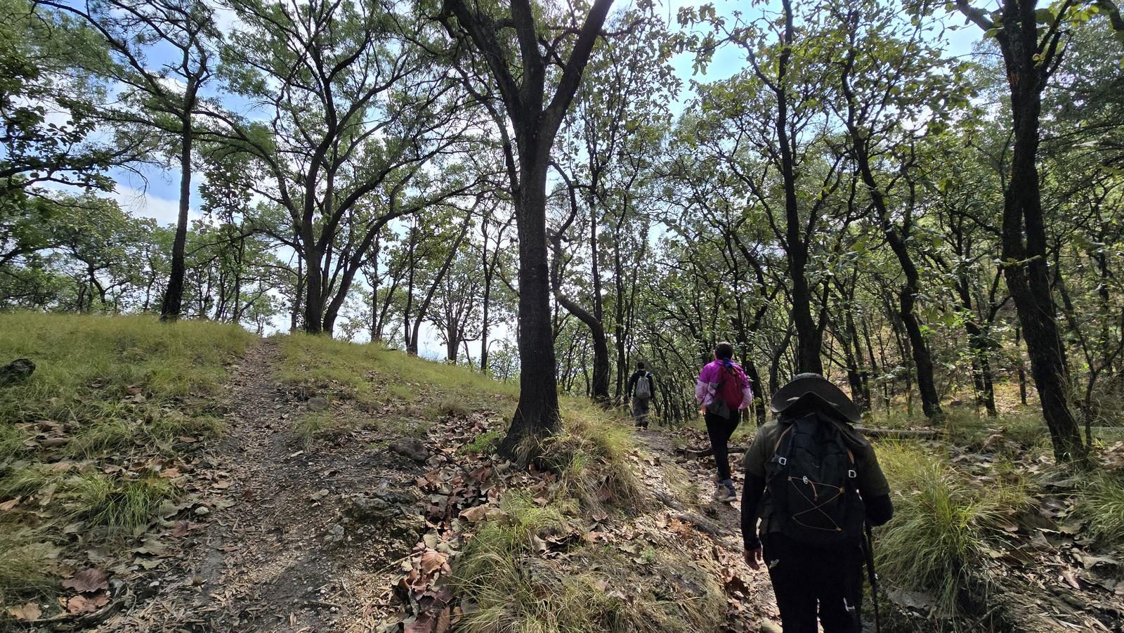
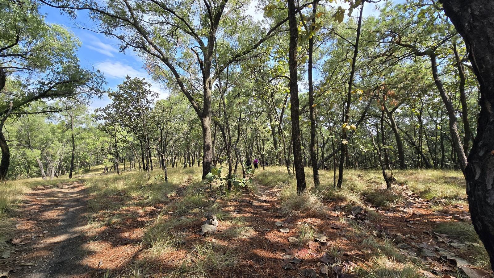
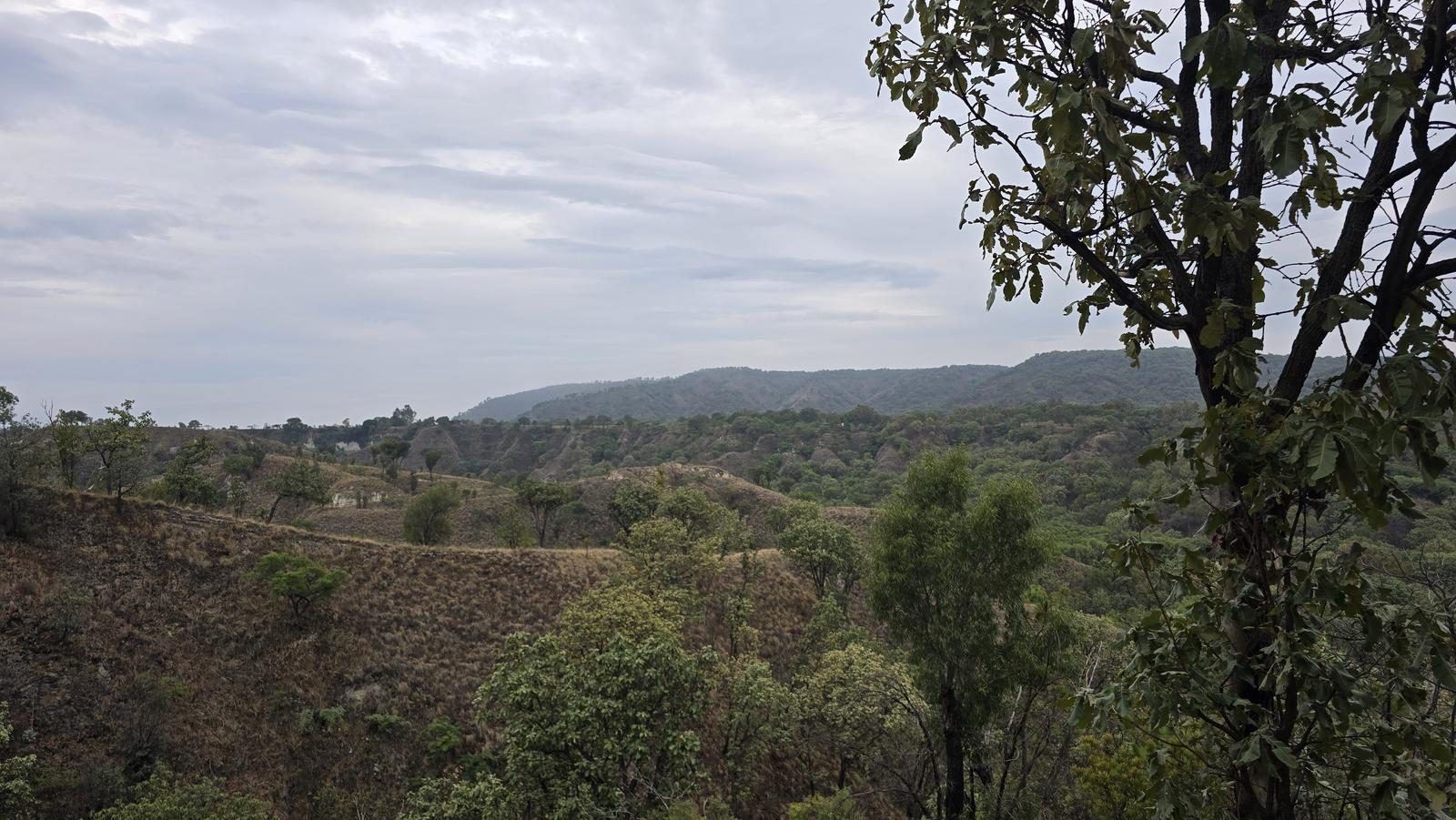
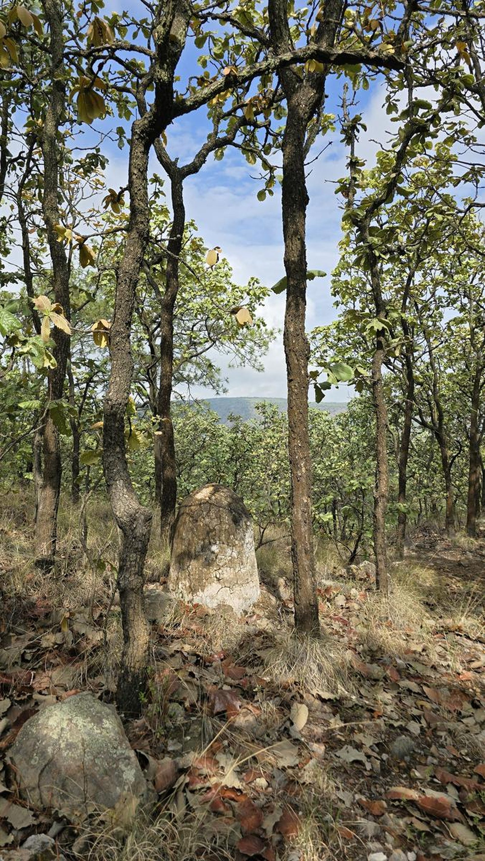
There's no peak on top of El Chapulín — there's a pine-oak plateau at 2,000 m, criss-crossed by motocross tracks. It ends at Los Amantes, the shadiest clearing in the forest.
📢 Alerts & Updates
This route can be done comfortably in any season of the year.
Level
i
Packing List
How to get there
Trailhead Access
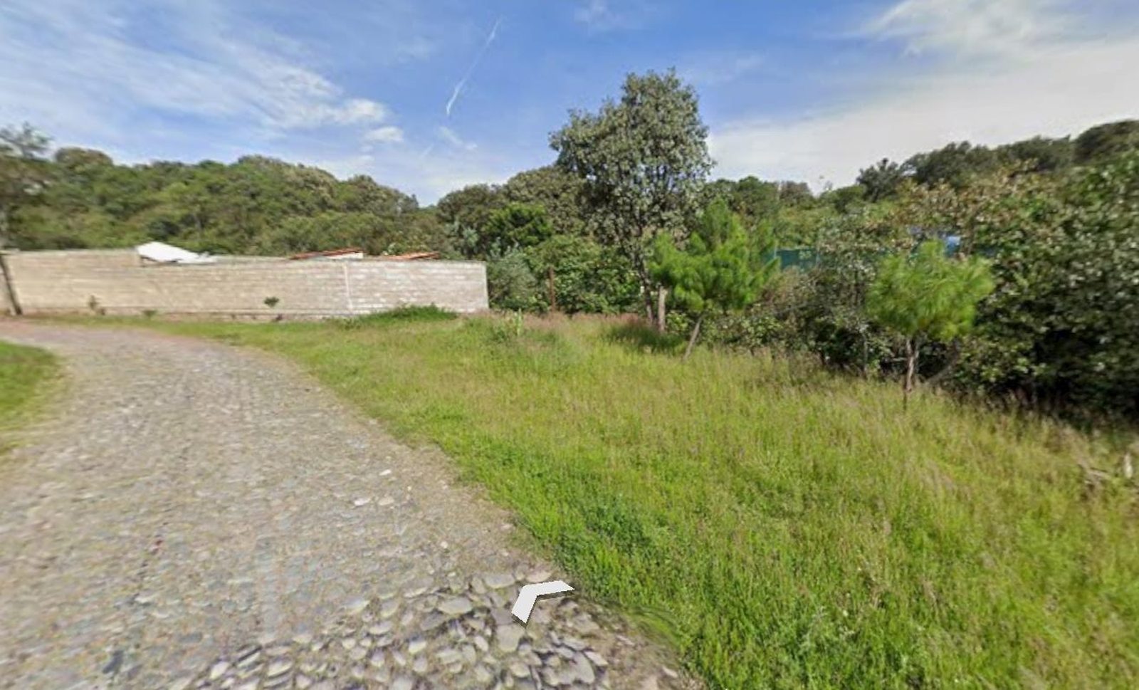
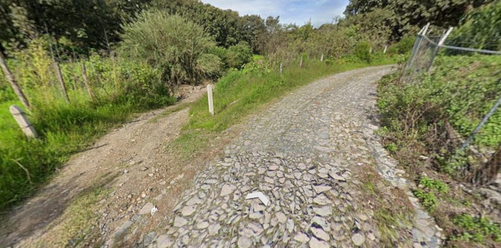
The route begins in an area known as Bajío del Arenal, where the ejido General Lázaro Cárdenas, from Zapopan, is located. To get there, we can go to the JVC Circuit, at Akron Stadium, heading to the road to Vallarta. Before reaching the road to Vallarta, we will arrive at an area of courts and schools. There we turn to Avenida del Bajío (on the left, between the ONCE School and the Cuahtémoc University). This avenue ends at a roundabout where the Signos School and the Pan-American Village are located. In that roundabout there is a booth to the ejido; we can tell the guard that we are going to walk into the woods and without problems he should give us access to the cobblestone road, where we will begin the tour.
Parking Information
This route has two Waypoints of possible parking areas, the first one is on the side of the cobblestone road and the second one is right where the sidewalk begins.
Fees & Park Hours
April 2026: This route does not involve access costs.
Trail Overview
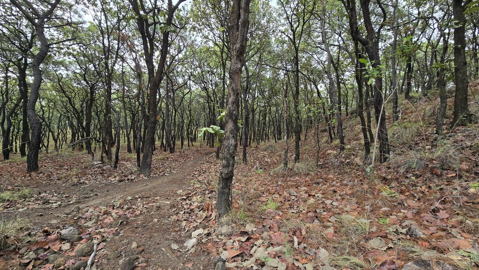
The first section is before reaching the forest and the trail is clear; it's relatively busy. The second section is already in the forest; this area is frequented by motorcyclists and they have marked many paths and road variants. During the climb, the trails are quite clear, if anything, we could get confused by all the intersections, but practically all of them end right where. During the descent, however, we will see several intersections; then my recommendation is to turn to the right, as long as the sidewalk goes downwards!
Recommended Gear
- Hiking sticks - Hands free lamp (mining type) - External battery (PowerBank) - Sunscreen - First Aid Kit or First Aid Kit - Insect repellent

Elevation Gain
341 m
Total Distance (Out & back)
8.18 km
Total Time
2 h 23 m
Max Elevation
1967 msnm
This is a route suitable for beginners, very similar to the long route of Cerro de Bugambilias. We will climb between 380 and 400 m of unevenness, which places this route at level 2 of our difficulty scale, where the maximum in this category is 10.