
Cerro las Latillas - Tlajomulco de Zúñiga, JAL
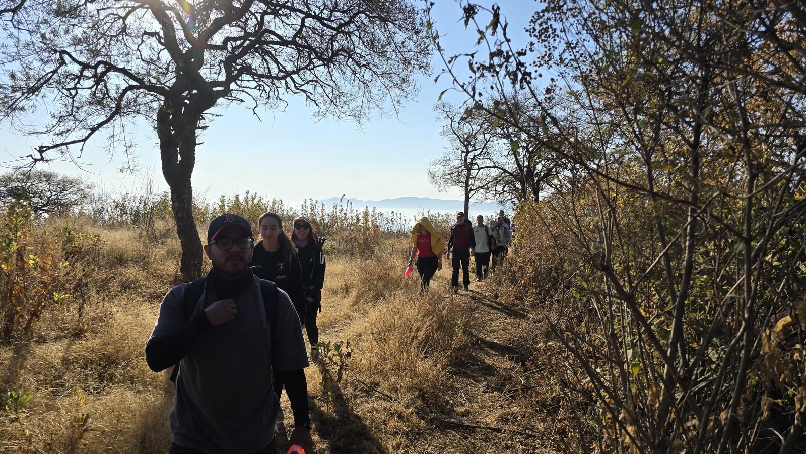
Cerro las Latillas - Tlajomulco de Zúñiga, JAL
Jalisco, Tlajomulco de Zúñiga
507 m
6.97 km
2 h 23 m
2069 msnm
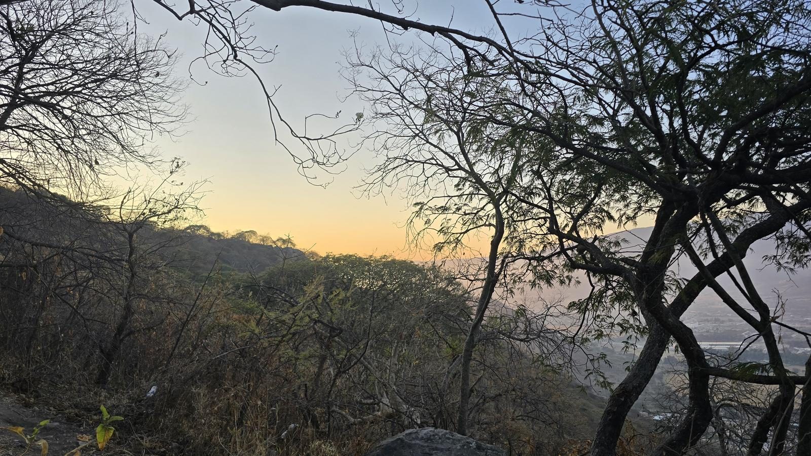
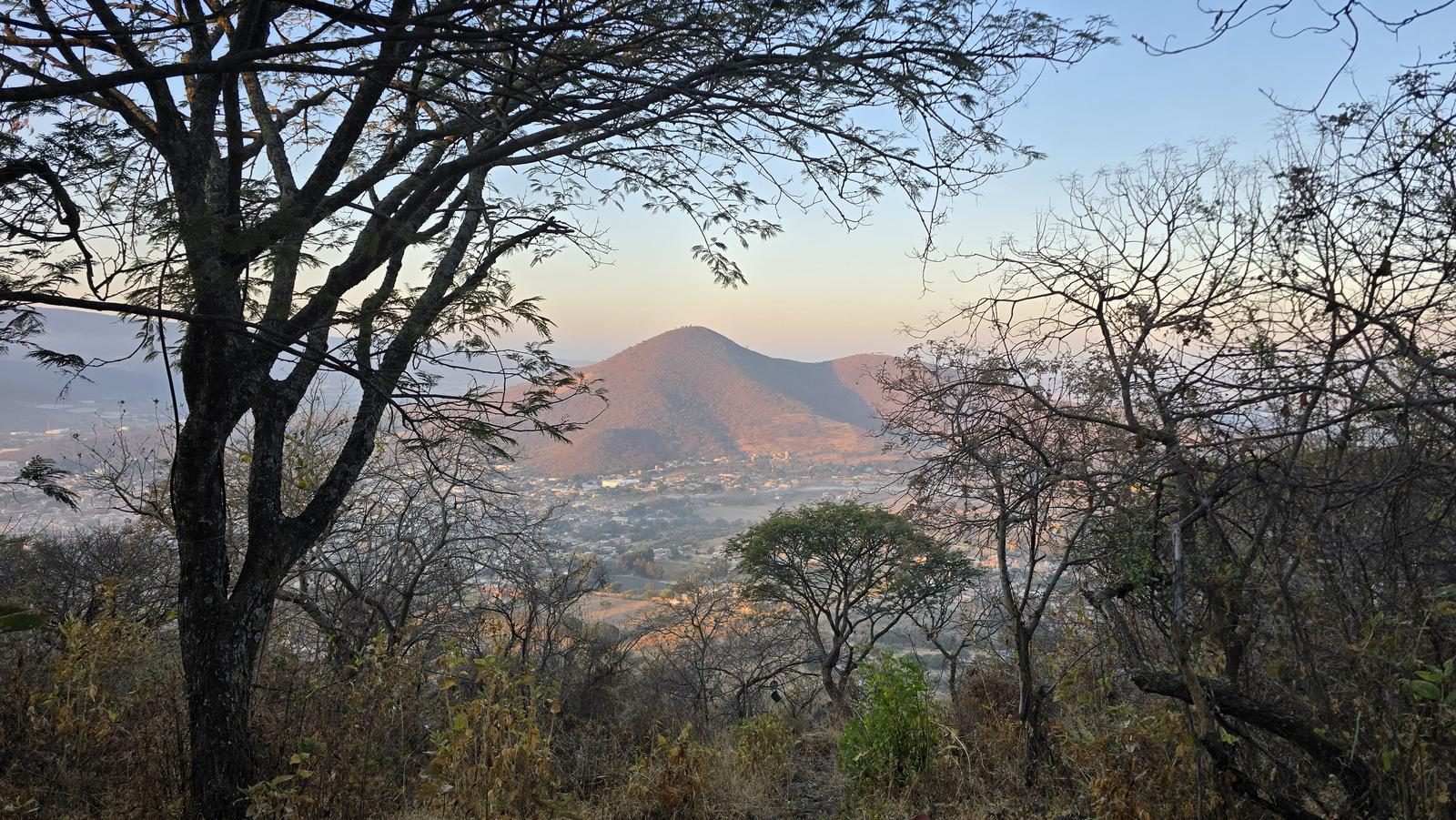
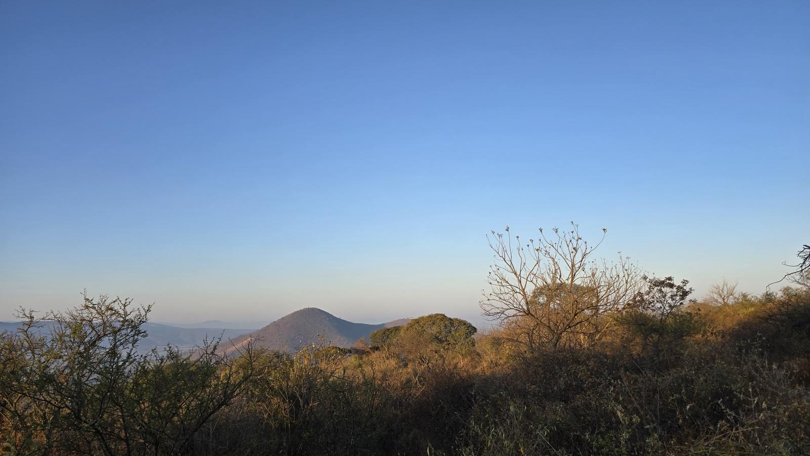
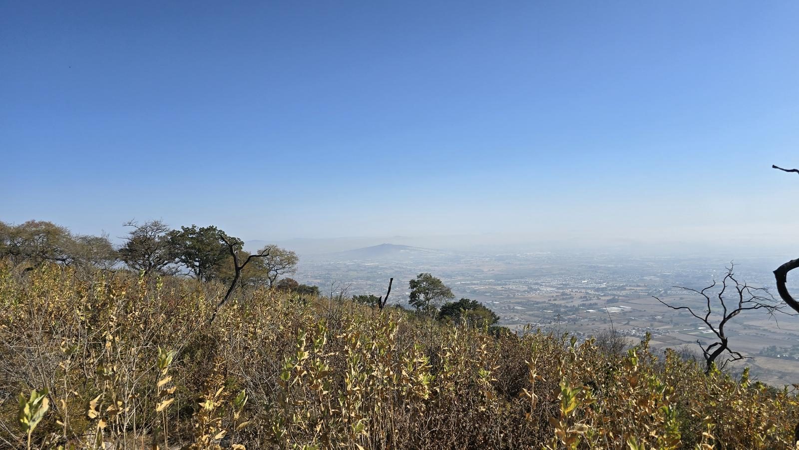
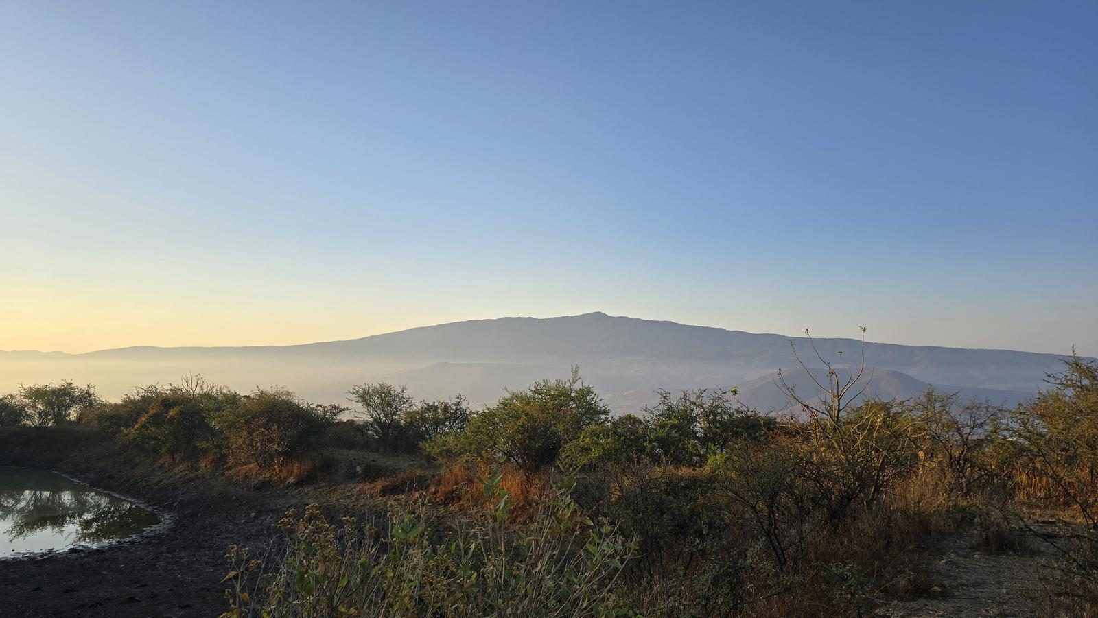
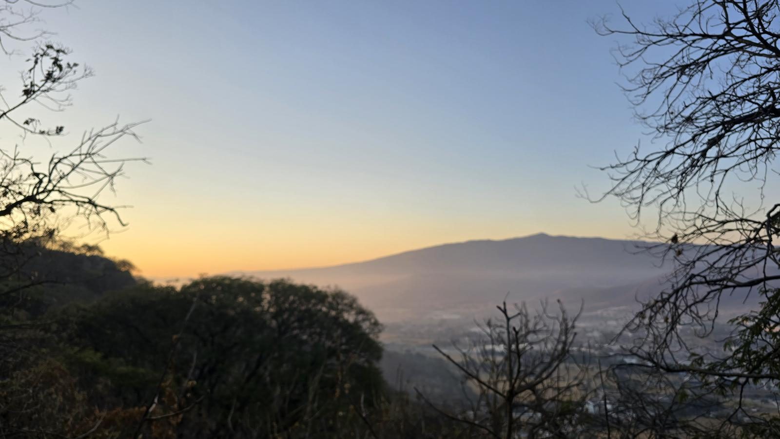
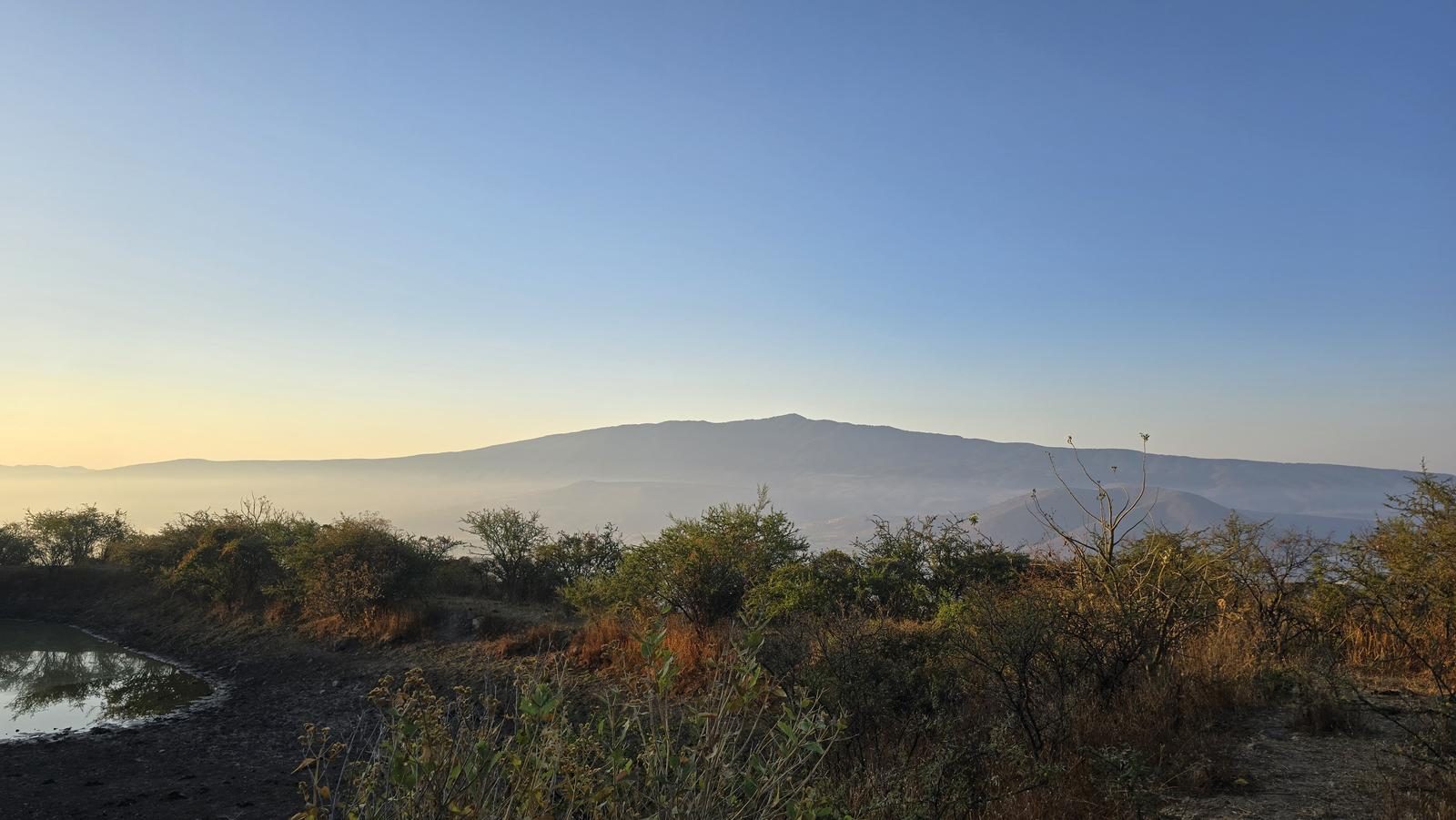
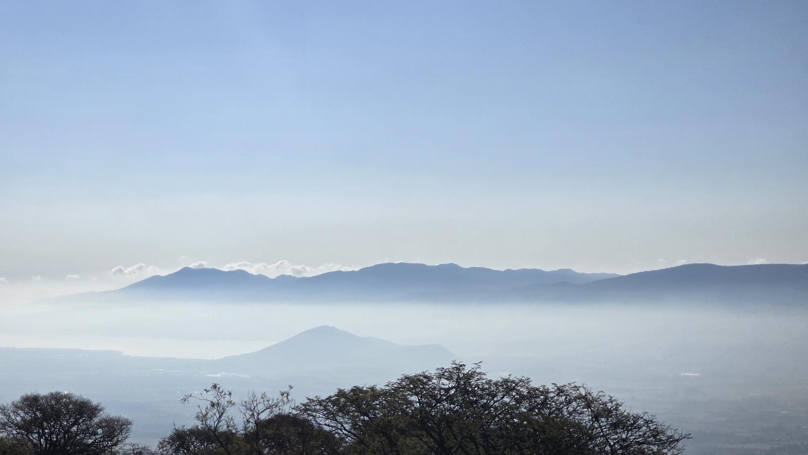
Locals call it Las Peñas, Mirador de Tlajomulco, even Cerro de las Mitras — but INEGI says Las Latillas. From its rocks you see the whole Cajititlán lagoon.
📢 Alerts & Updates
It is preferable to do this route during the rainy season.
Warnings

Level
i
Packing List
How to get there
Trailhead Access
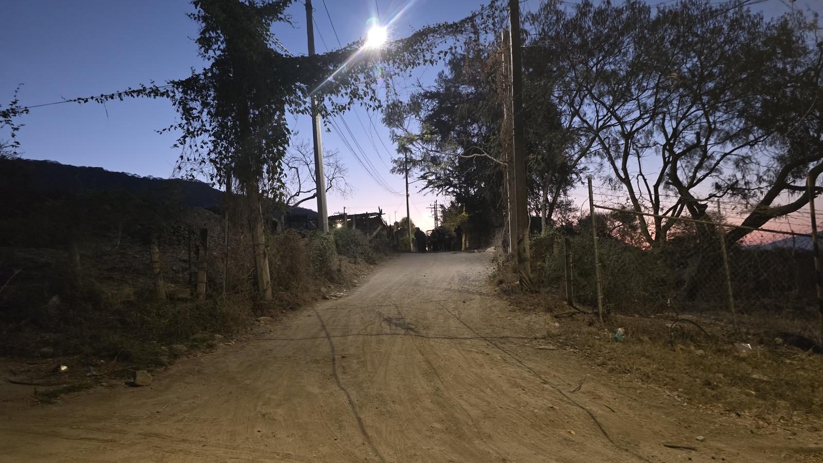
Starting from downtown Guadalajara, we take Lopez Mateos Avenue to the south, heading to the municipal seat of Tlajomulco de Zúñiga. To get to Tlajomulco, we will leave Lopez Mateos at the Las Cuatas gas stations and take the Southern Metropolitan Circuit. Arriving at the municipal seat, we will enter the center along Porfirio Díaz street. Then, we turned north on Flaviano Ramos Street. There we will be arriving at the parking area.
Parking Information
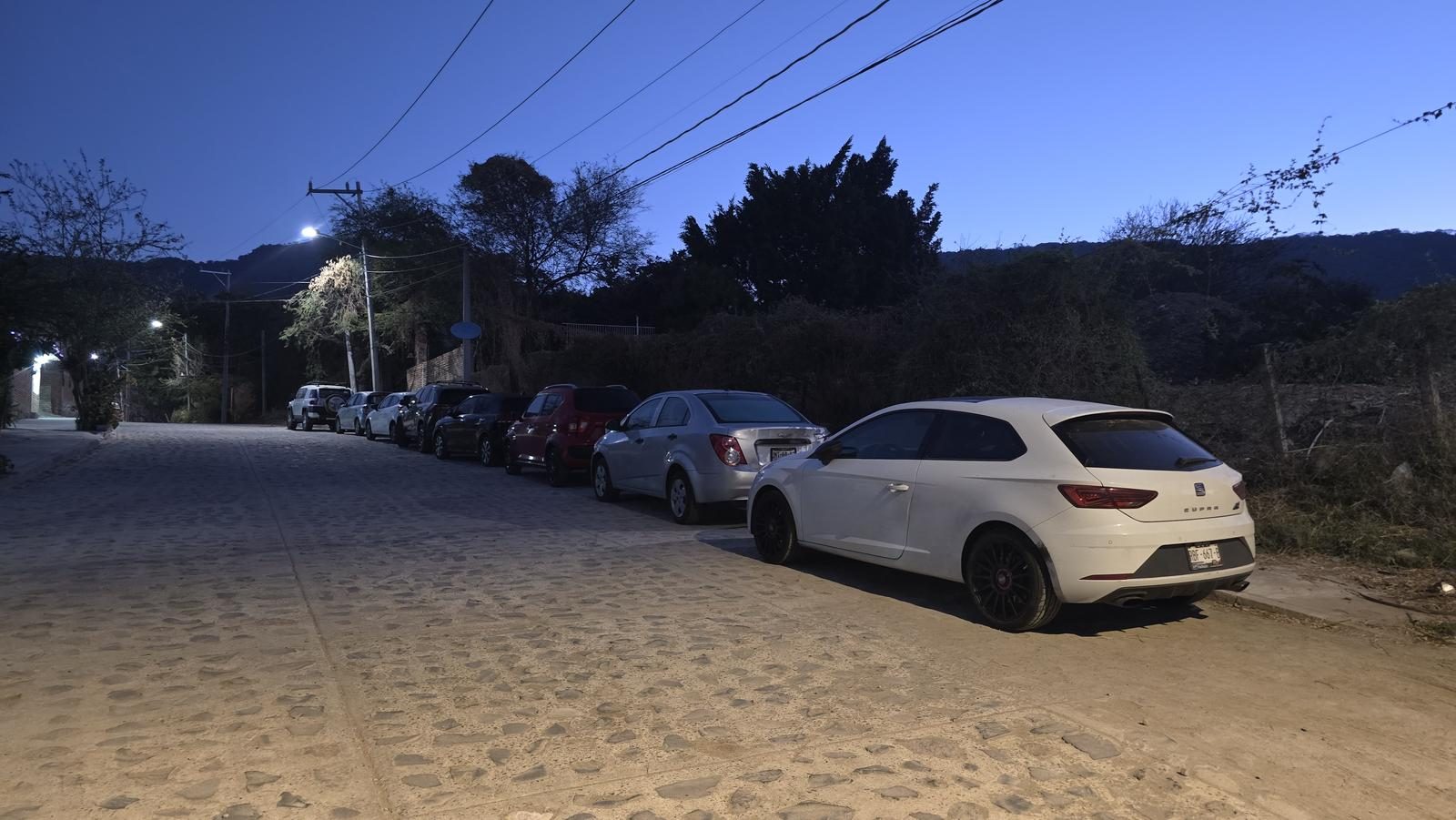
There is no parking area as such, but on Flaviano Ramos Street there is enough space to leave several cars unobstructed.
Fees & Park Hours
As of February 6, 2025, this route does not involve access costs.
Trail Overview
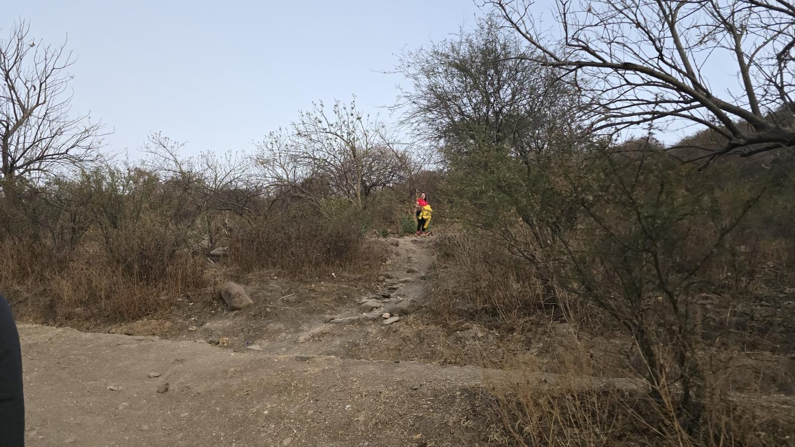
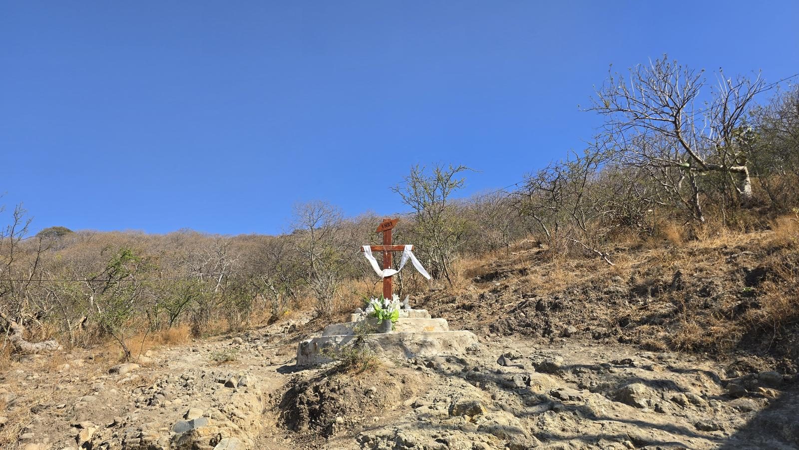
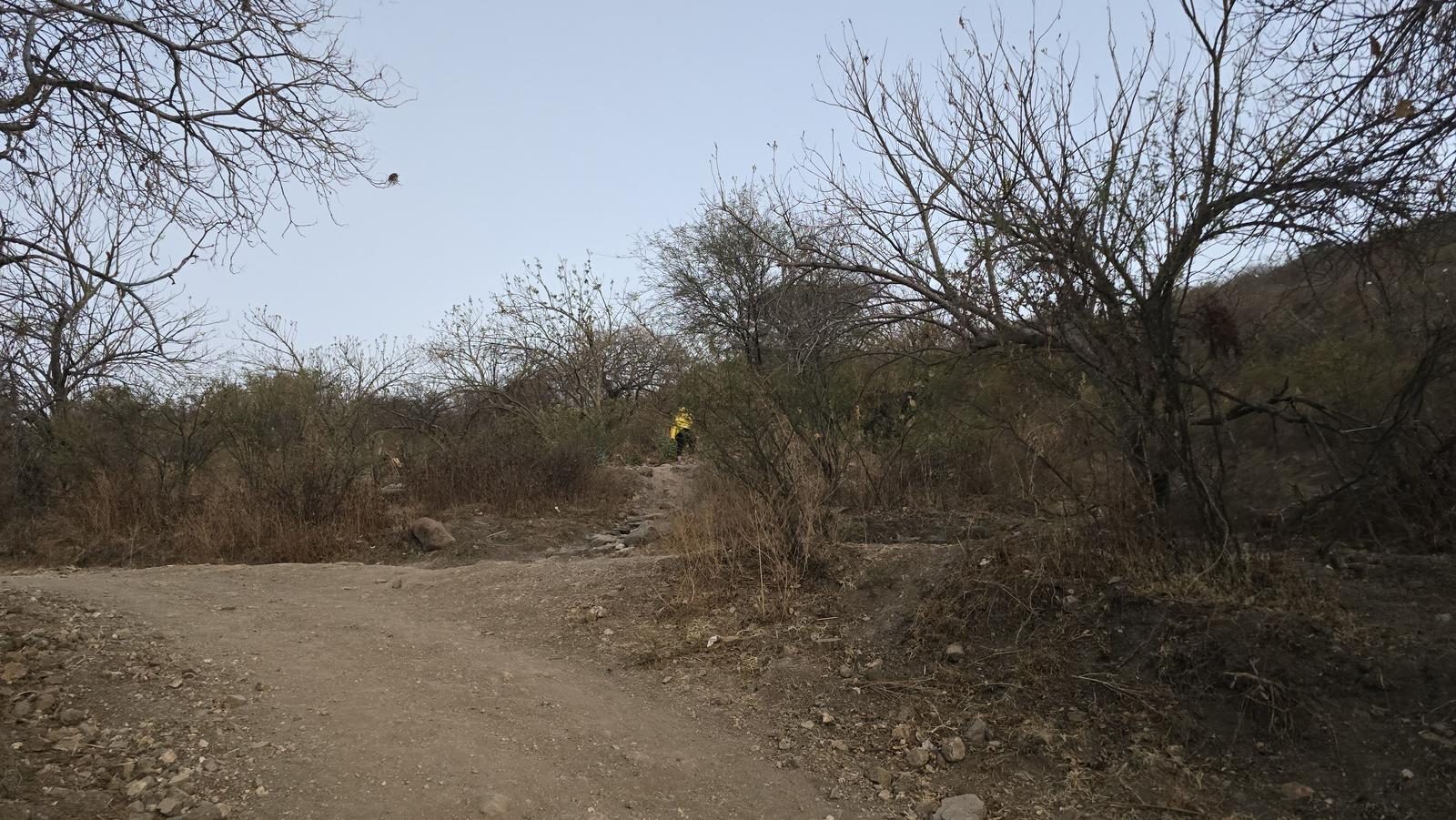
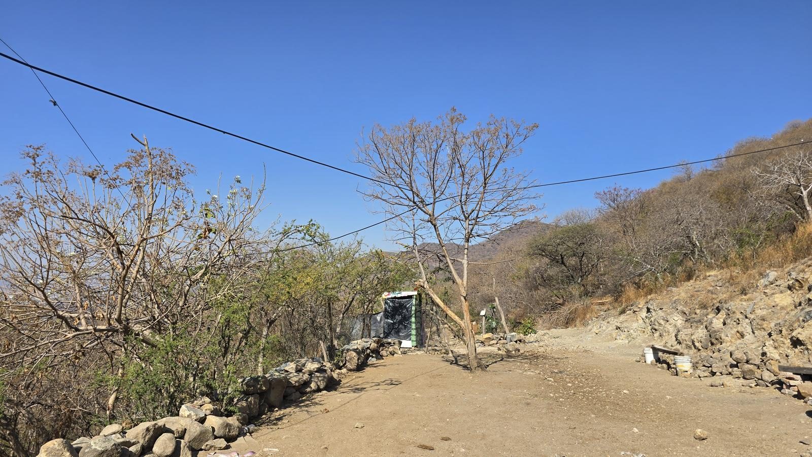
Excellent. It is a very popular route, so the trails are clear. It starts with a very wide gap and after mediation we will take a very rough path to Las Peñitas. After Las Peñitas there are some variants of the road, but they are very clear.
Recommended Gear
- Hiking sticks - Hands free lamp (mining type) - External battery (PowerBank) - Sunscreen - First Aid Kit or First Aid Kit - Thermal blanket

Elevation Gain
507 m
Total Distance (Out & back)
6.97 km
Total Time
2 h 23 m
Max Elevation
2069 msnm
This route offers us between 480 and 500 m of positive elevation gain. It can be divided into two sections. The first, from the beginning to the boulders, is a bit demanding, but noble. From the Virgin to the summit, the slope changes dramatically and becomes extremely demanding. This route requires very good physical condition and is recommended for hikers with some experience.