
Chupinaya - El Tépalo - Sierra de San Juan Cosalá
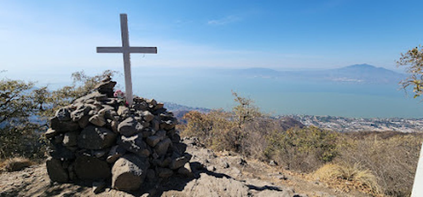
Chupinaya - El Tépalo - Sierra de San Juan Cosalá
Sierra de San Juan Cosalá, Jocotepec
961 m
9.54 km
3 h 43 m
2404 msnm
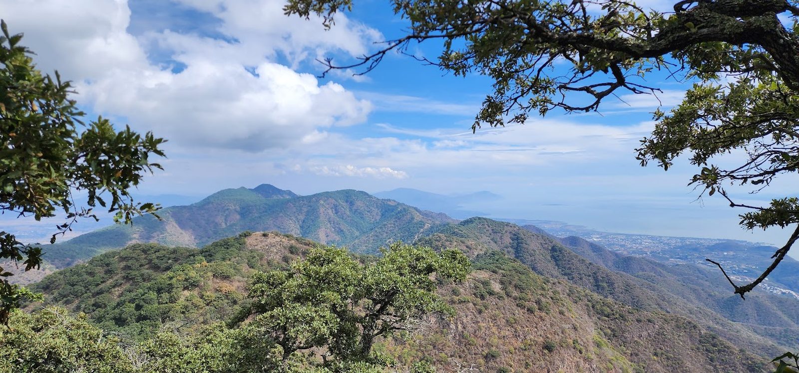
If you're in Ajijic, Chupinaya via El Tépalo is the climb to do: nearly 1,000 m of gain, European-style waymarks throughout, and the falls running in the rainy season.
📢 Alerts & Updates
This route can be done comfortably in any season of the year.
Warnings


Level
i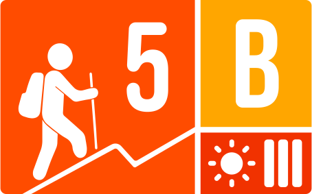
Packing List
How to get there
Trailhead Access
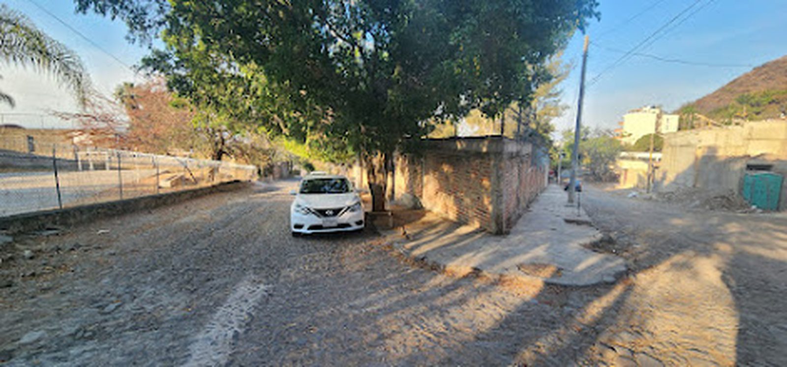
Leaving from Guadalajara, take the road to Chapala. After Ixtlahuacán, but before reaching the lake, we turn at a junction that leads to Ajijic (Jocotepec-Chapala Highway). About 5.5 km later, we will arrive at the main boulevard of Ajijic (the bypass bumps into some shopping malls), where we will turn right. About 1.5 km later we will turn right on J. Encarnación Rosas street (road to Tépal), where we will go for almost 1 km on a cobblestone road “up the mountain”.
Parking Information
There is no parking as such, so we park at the beginning of the route, trying not to obstruct roads or accesses.
Fees & Park Hours
A fee of $40 pesos per person must be paid to maintain the area.
Trail Overview
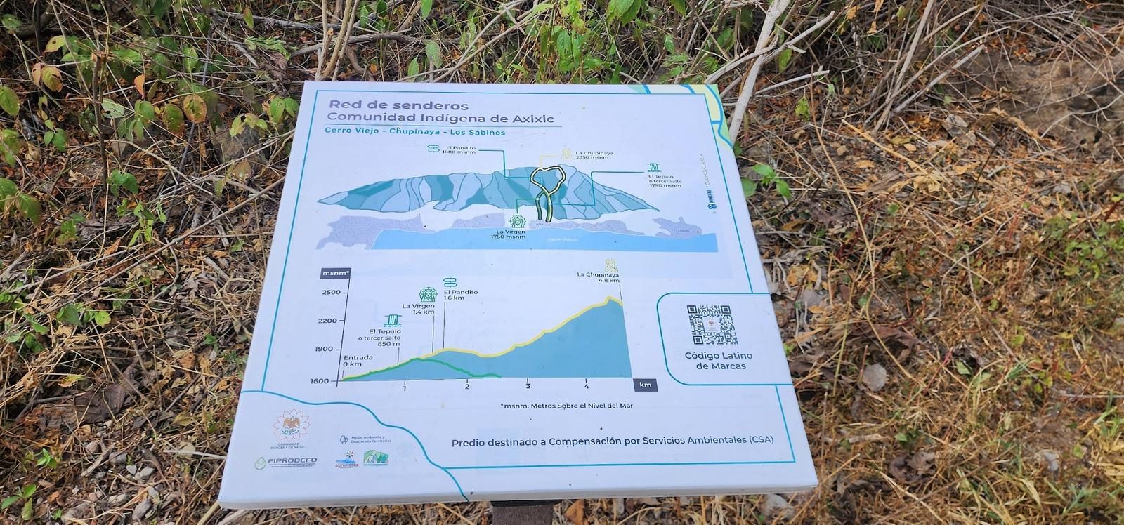
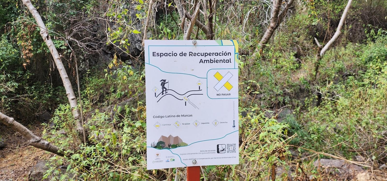
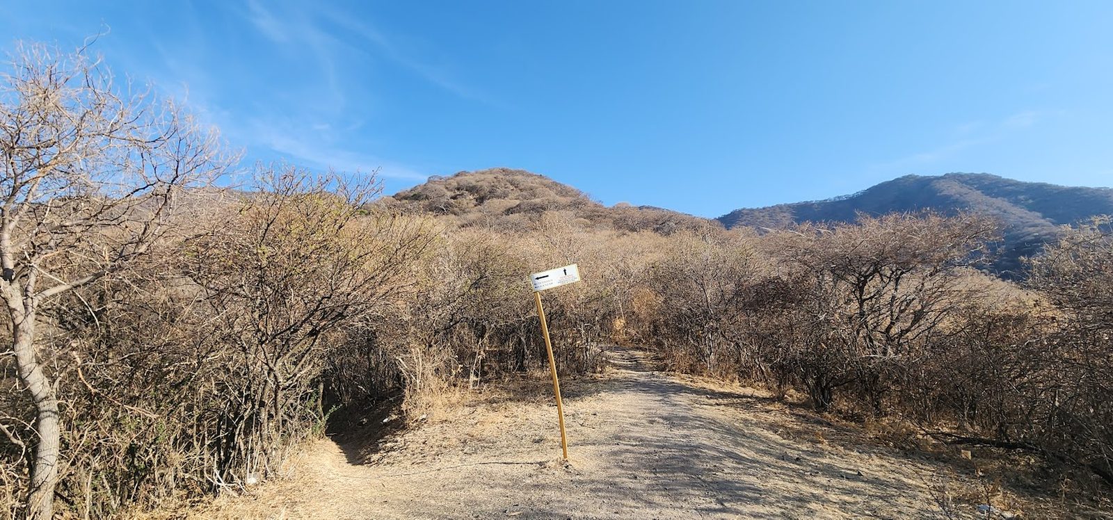
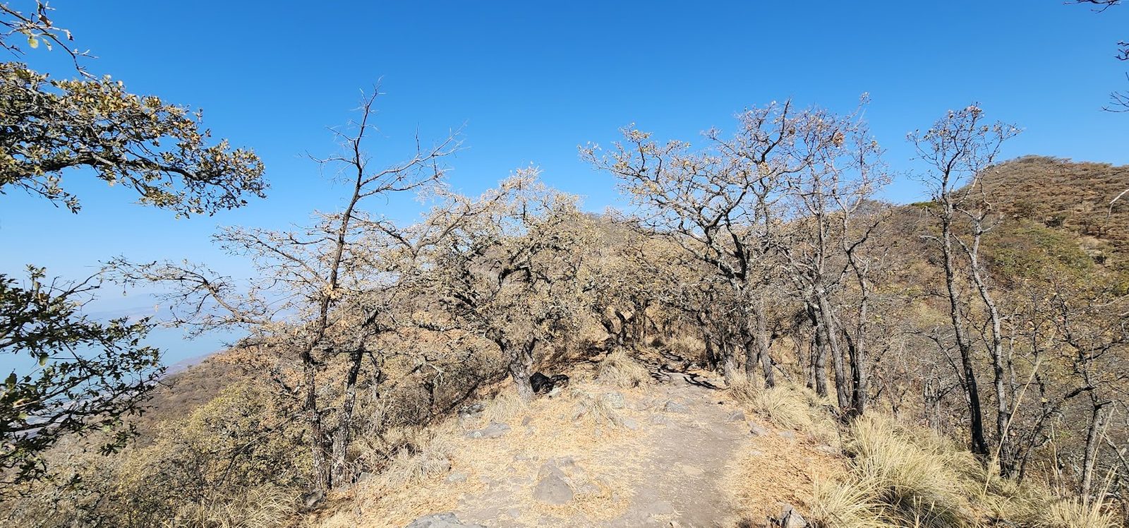
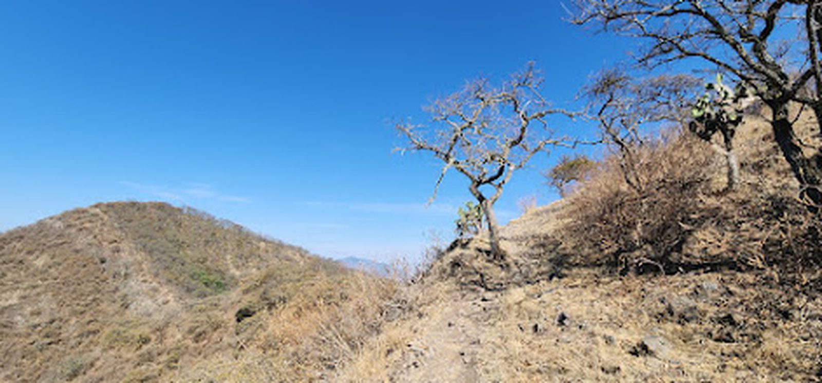
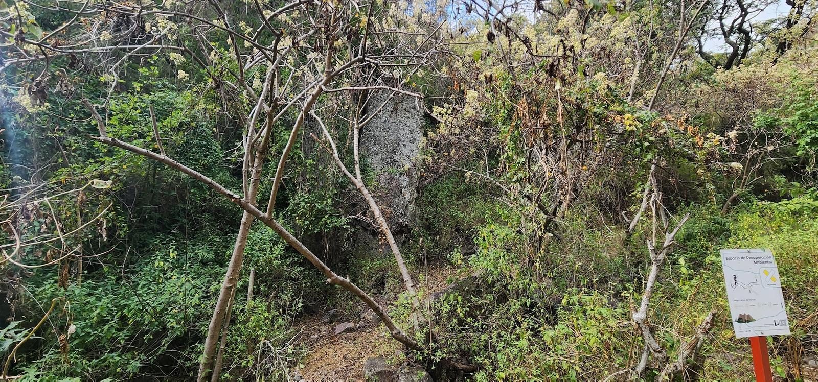
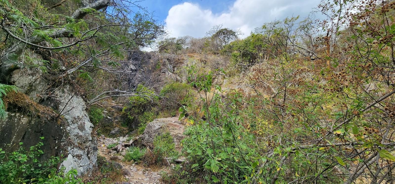
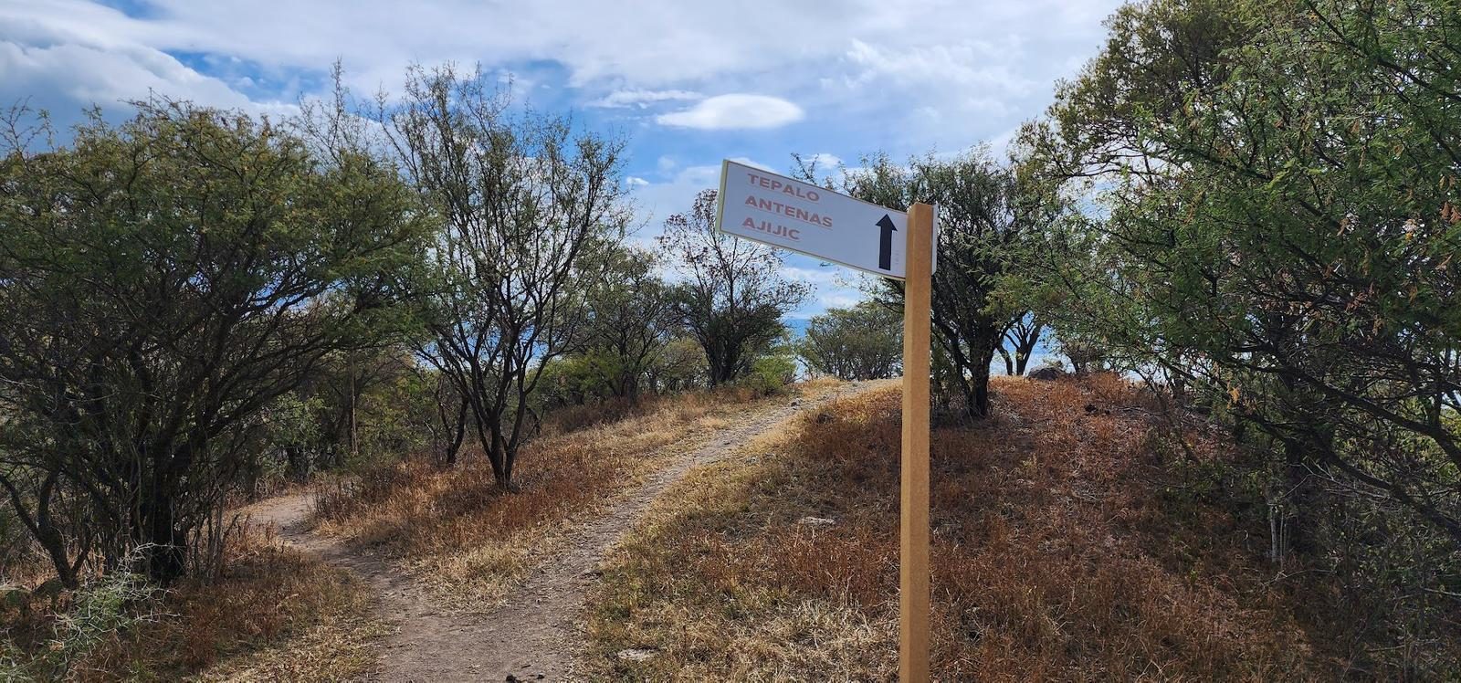
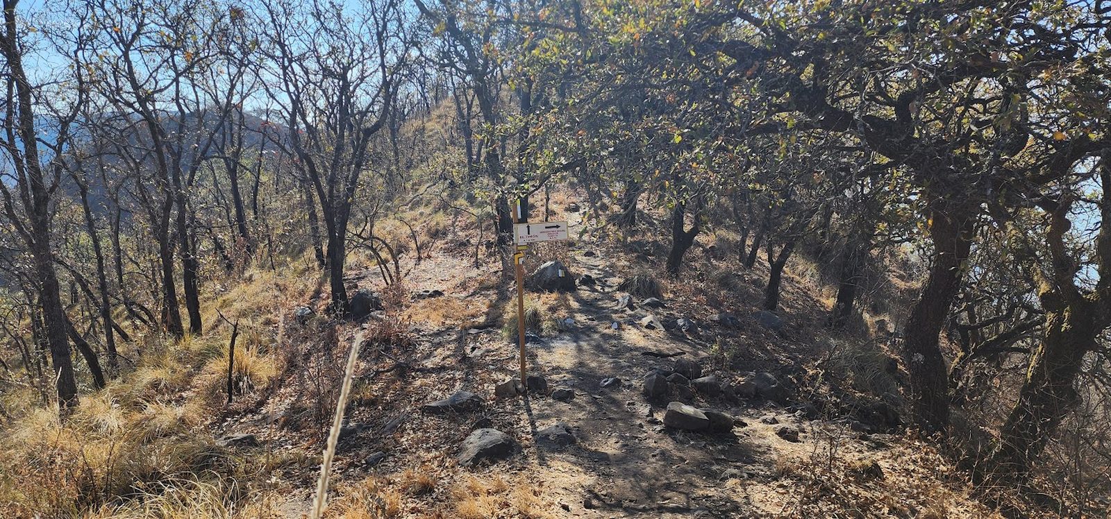
The path to follow is very clear and along it we will find many marks (European marking, parallel yellow and white lines), as well as signs and mojoneras.
Recommended Gear
- Hands free lamp (mining type) - External battery (PowerBank) - Sunscreen - Hiking sticks - First Aid Kit or First Aid Kit - Thermal blanket
Elevation Gain
961 m
Total Distance (Out & back)
9.54 km
Total Time
3 h 43 m
Max Elevation
2404 msnm
This route offers us just over 900 m of positive elevation gain, so it is in difficulty classification number 5. This classification includes a cumulative slope between 800 and 1,000 meters and is comparable to routes such as the Cerro de García or the Old Hill through Jaguarundi (starting from the lagoon).