
Chupinaya - Ixtlahuacán - Sierra de San Juan Cosalá
Chupinaya - Ixtlahuacán - Sierra de San Juan Cosalá
Sierra de San Juan Cosalá, Ixtlahuacán de los Membrillos
1394 m
16.5 km
5 h 59 m
2387 msnm
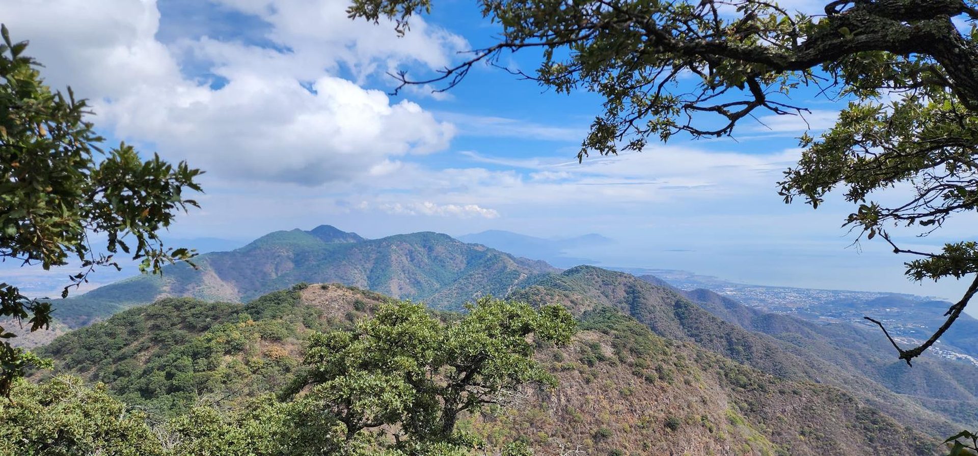
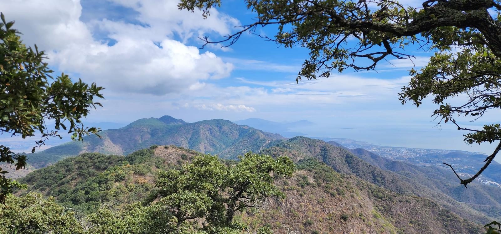
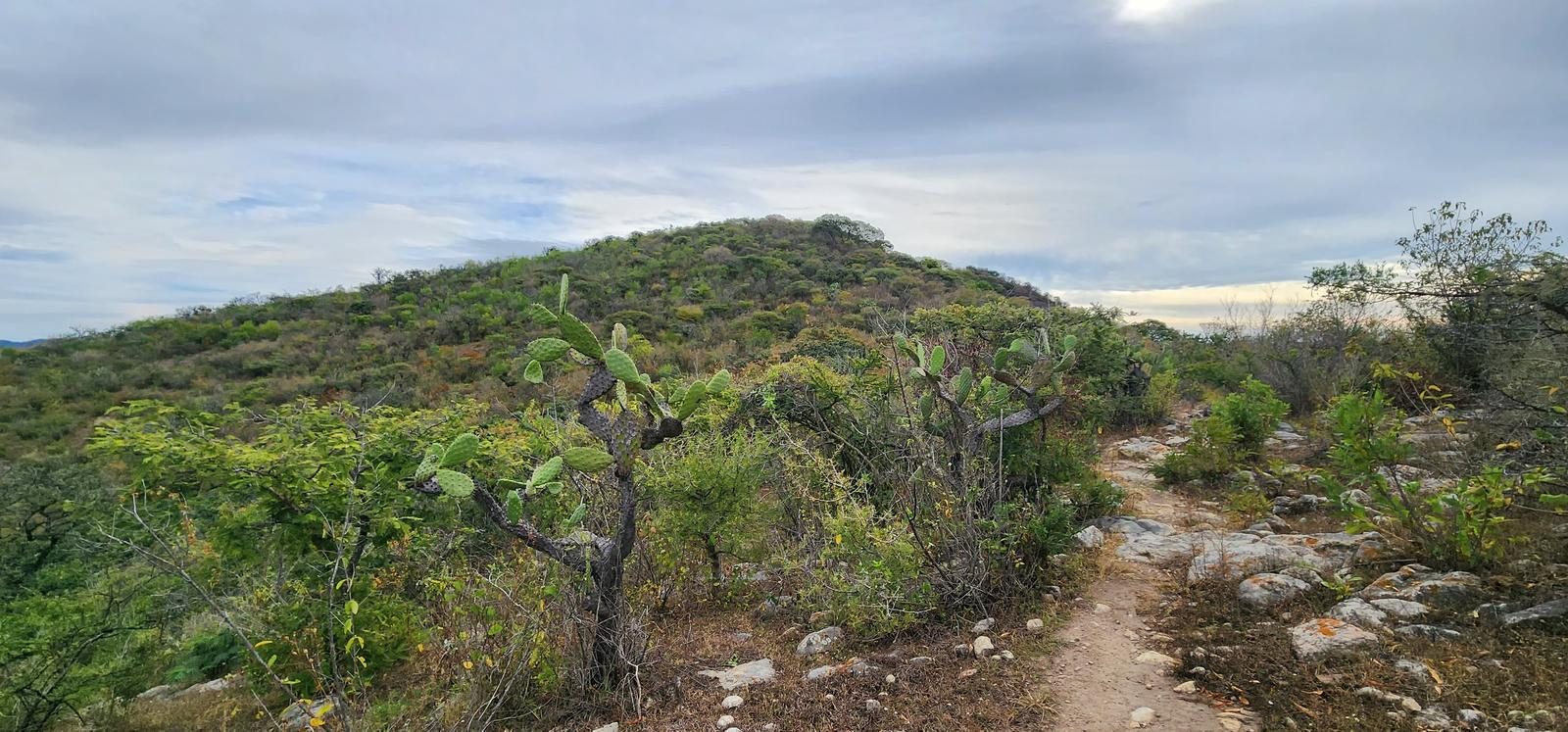
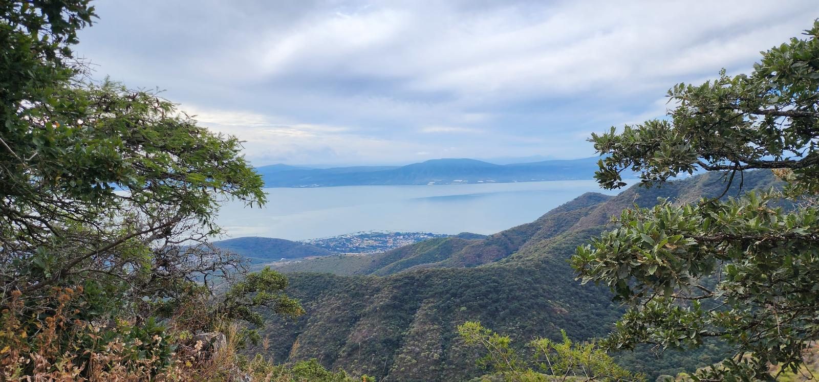
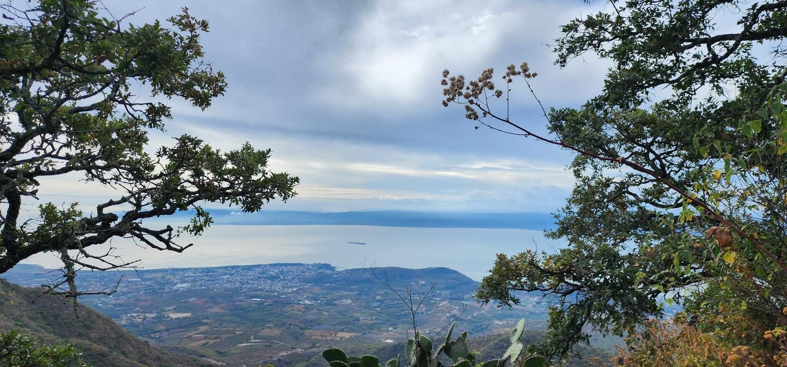
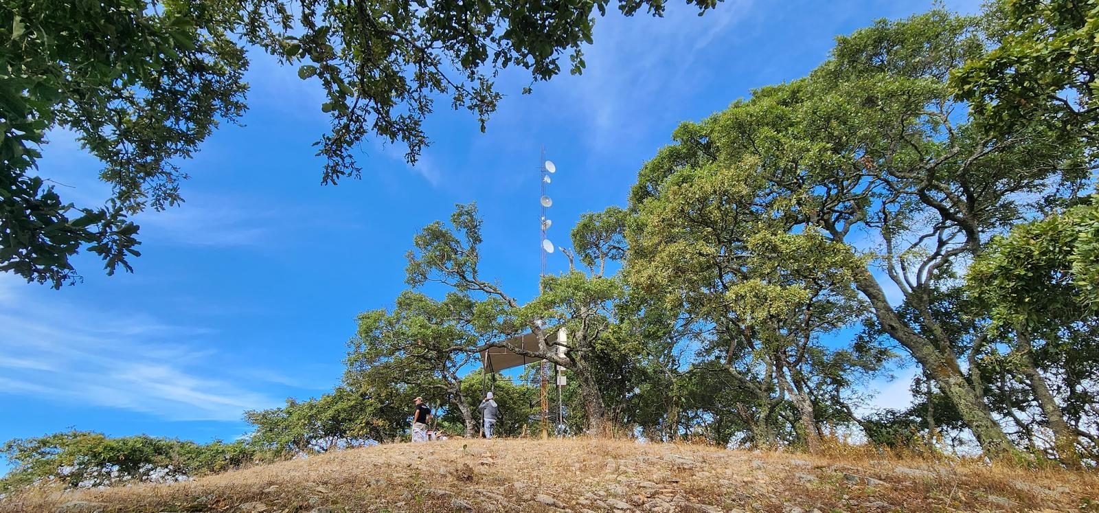
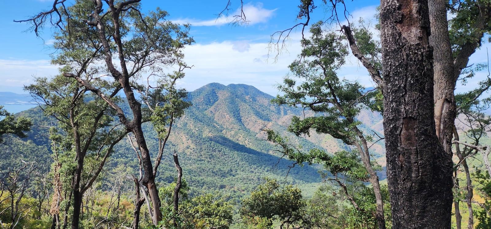
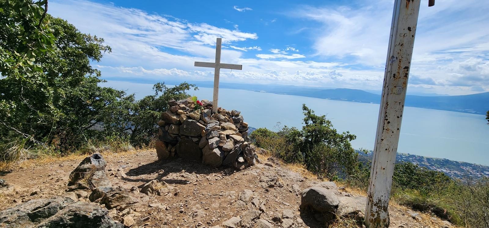
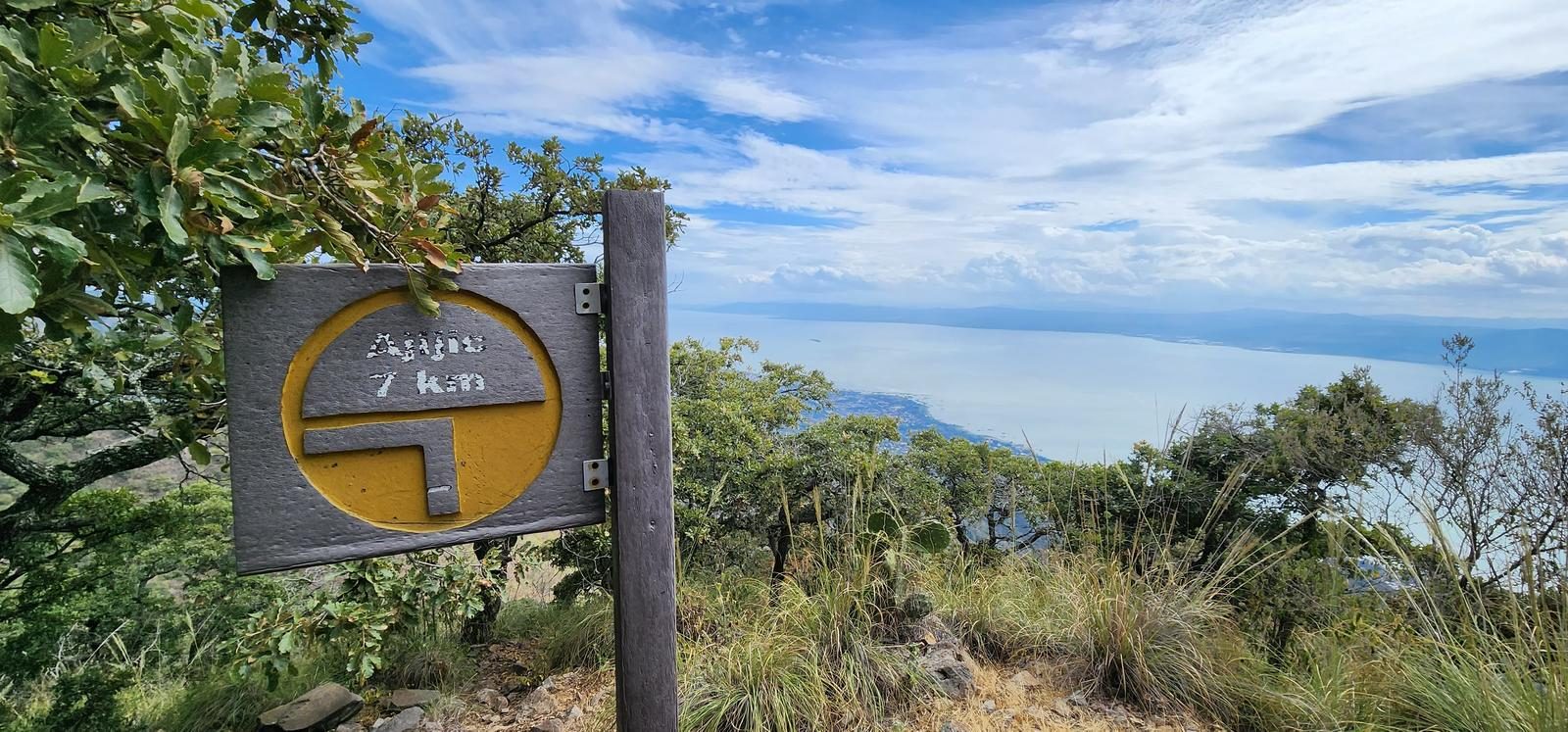
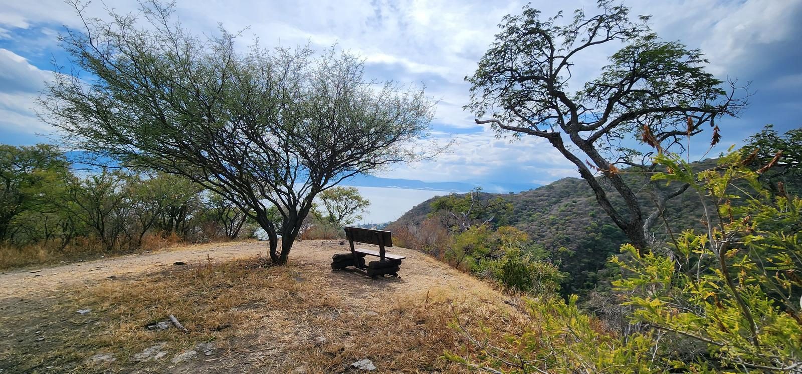
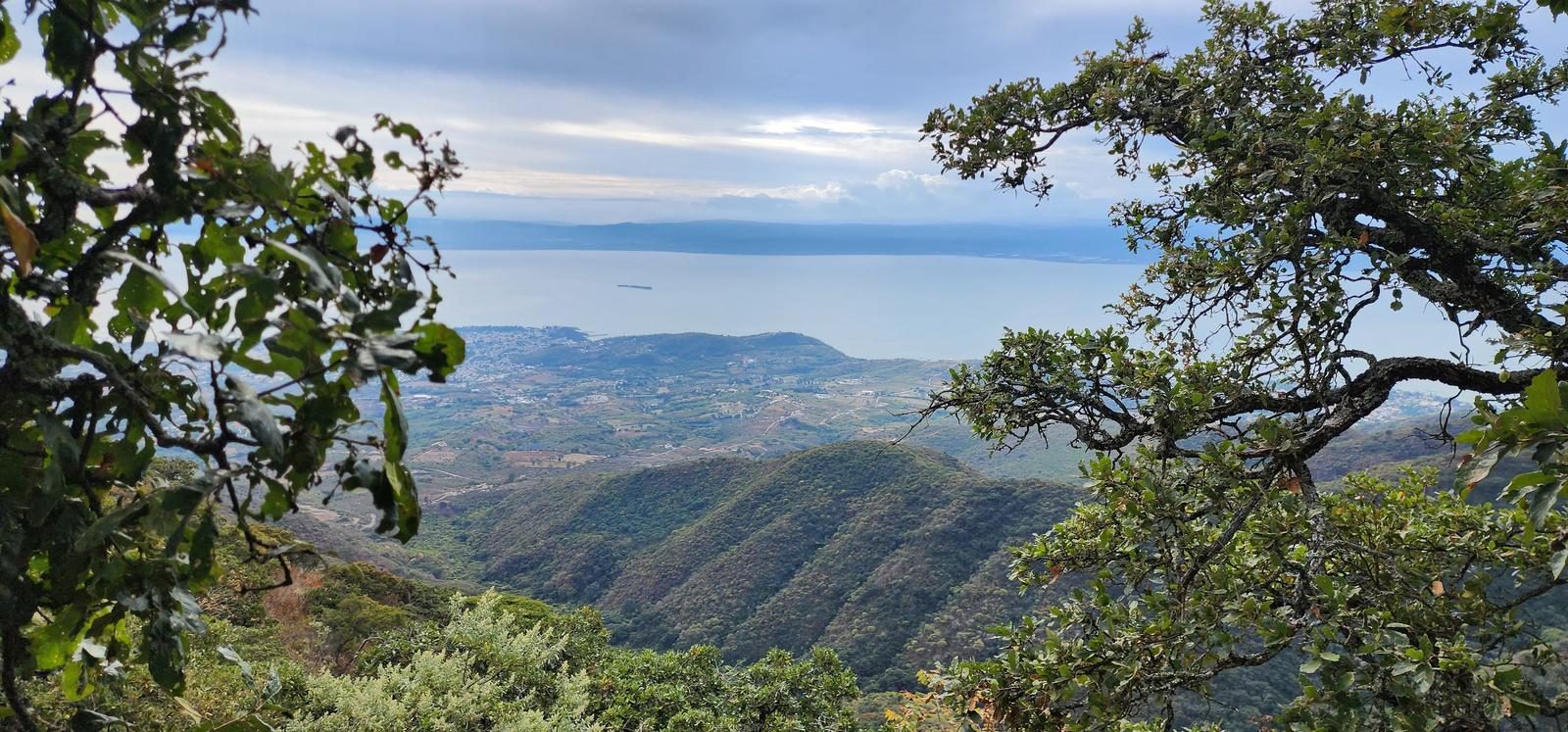
Those who climb from Ixtlahuacán usually stop at Mesa del Ocote. This itinerary keeps going 16 km to Chupinaya, with both Chapala and Cajititlán in sight.
📢 Alerts & Updates
This route can be done comfortably in any season of the year.
Warnings

Level
i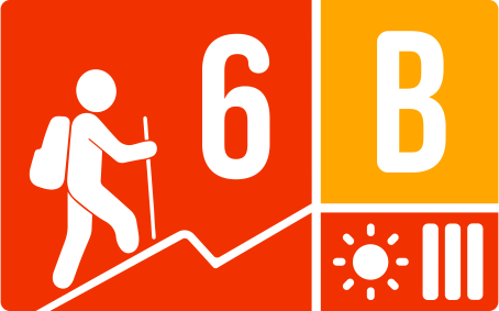
Packing List
How to get there
Trailhead Access
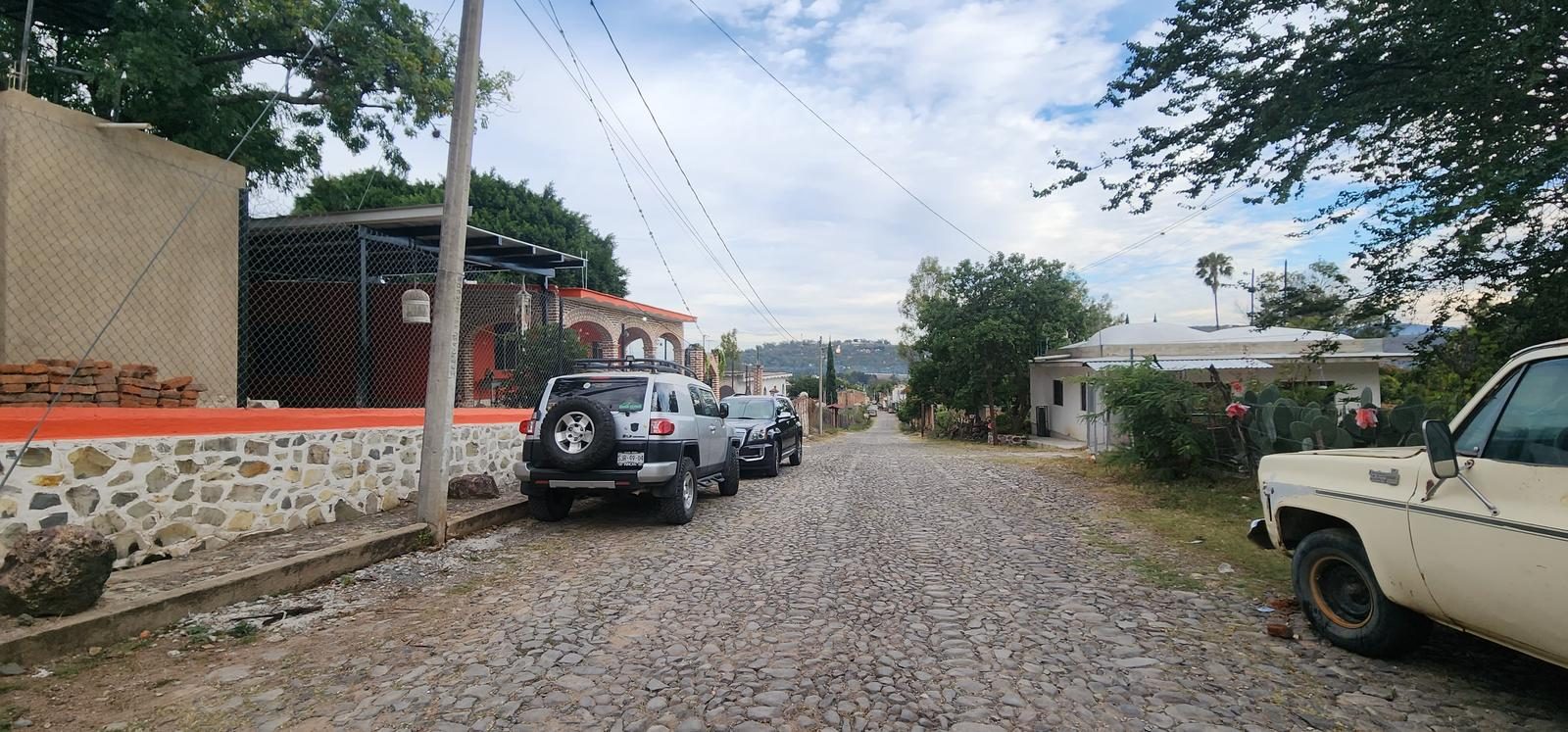
Leaving from Guadalajara, take the road to Chapala. Shortly before climbing the hill to Chapala, we will pass through the town of Ixtlahuacán de los Membrillos. We will recognize the town by the monument at its entrance, Saint James, dressed in green and riding a horse with a white banner with a red cross in the center. To get to the start of the route, we can leave one avenue before (Ramón Corona) from the main avenue; at this exit there is the municipal sports car. That avenue leads us to the beginning of the route. We can also enter through the main avenue and one block before the municipal square, turn right to Ramón Corona, and then turn left. The beginning of the sidewalk is at the end of that street.
Parking Information
There is no parking as such, so we park at the beginning of the route, trying not to obstruct roads or accesses.
Fees & Park Hours
At the time of writing, there is no cost.
Trail Overview
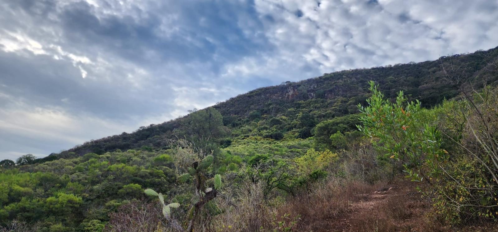
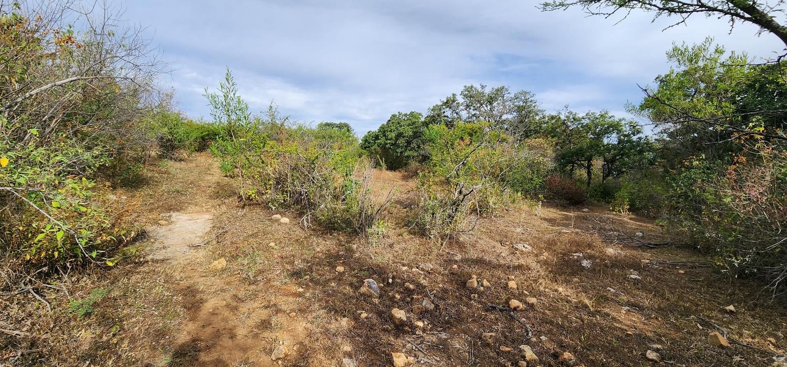
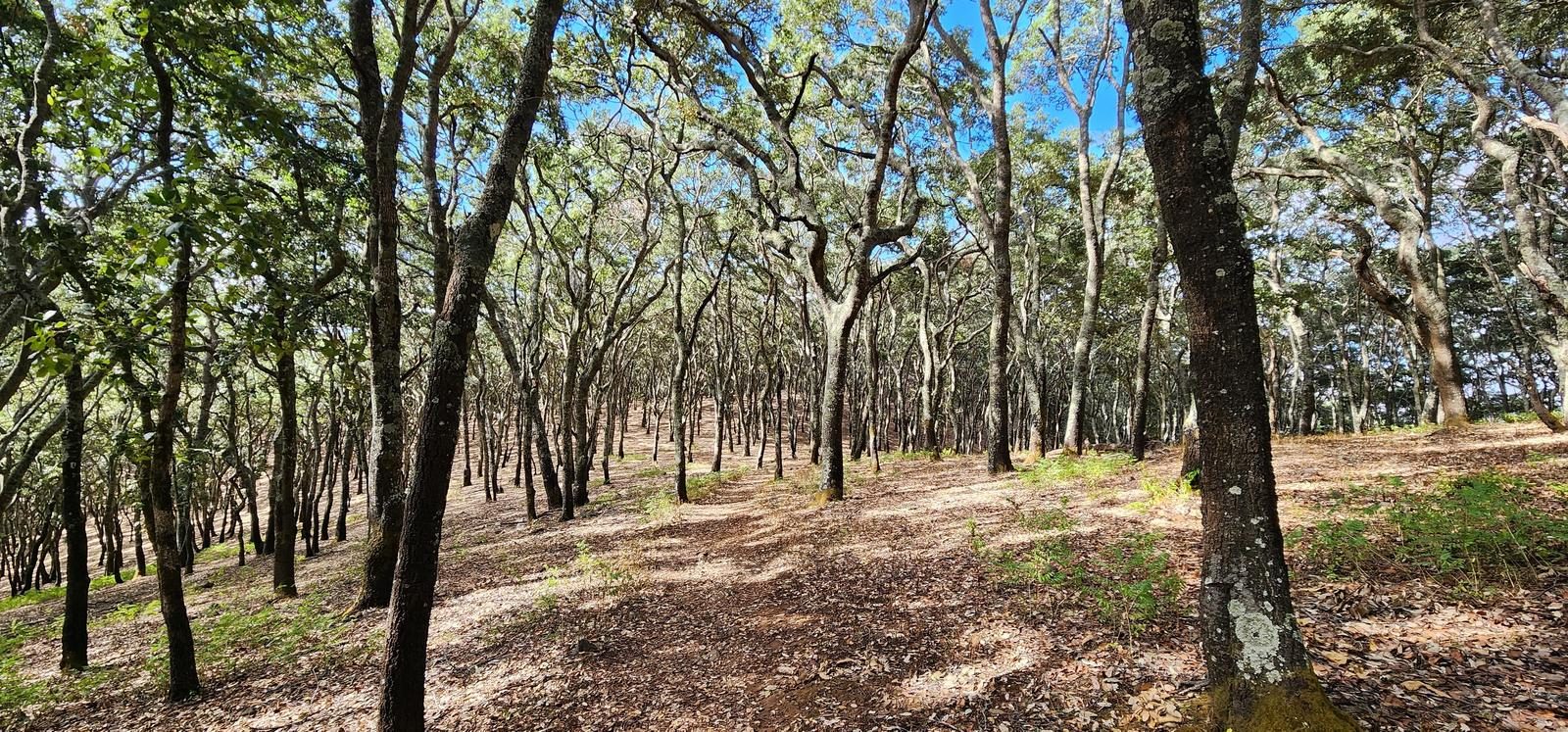
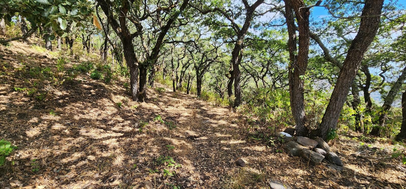
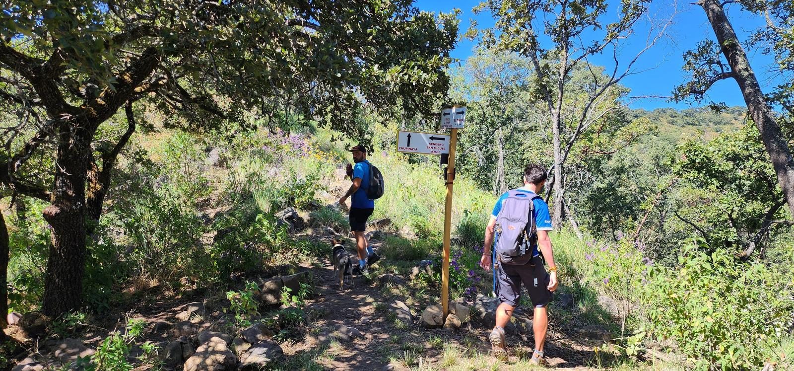
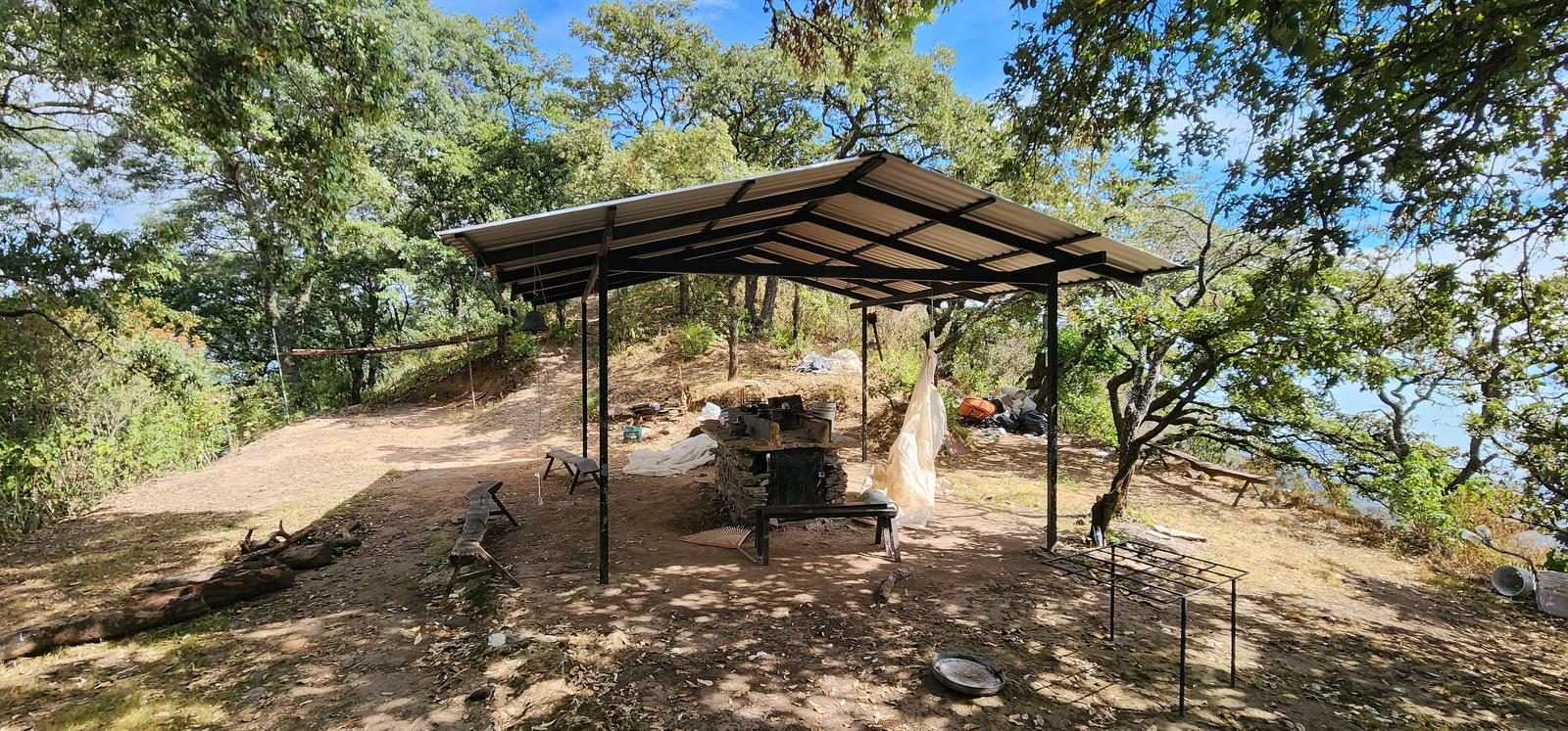
This saw, in general, is very well marked. There are signs and their trails are easy to distinguish. Despite this, because there are many route variants, it is advisable to pay attention to Wikiloc so as not to get sidetracked. Especially in the “Mesa del Ocote” area, the sidewalk can get lost in the leaf litter.
Recommended Gear
- Hiking sticks - Hands free lamp (mining type) - External battery (PowerBank) - Sunscreen - First Aid Kit or First Aid Kit - Thermal blanket
Elevation Gain
1394 m
Total Distance (Out & back)
16.5 km
Total Time
5 h 59 m
Max Elevation
2387 msnm
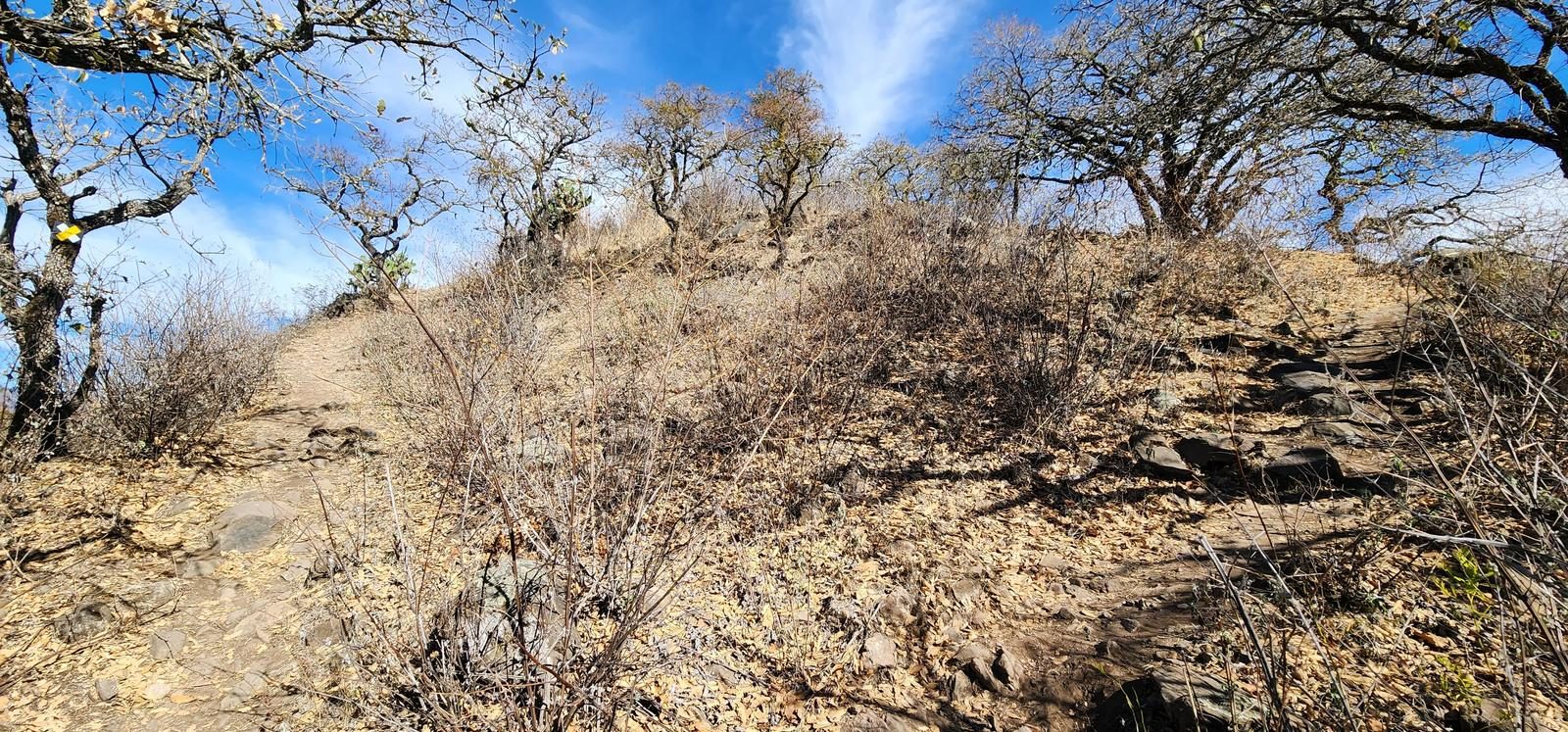
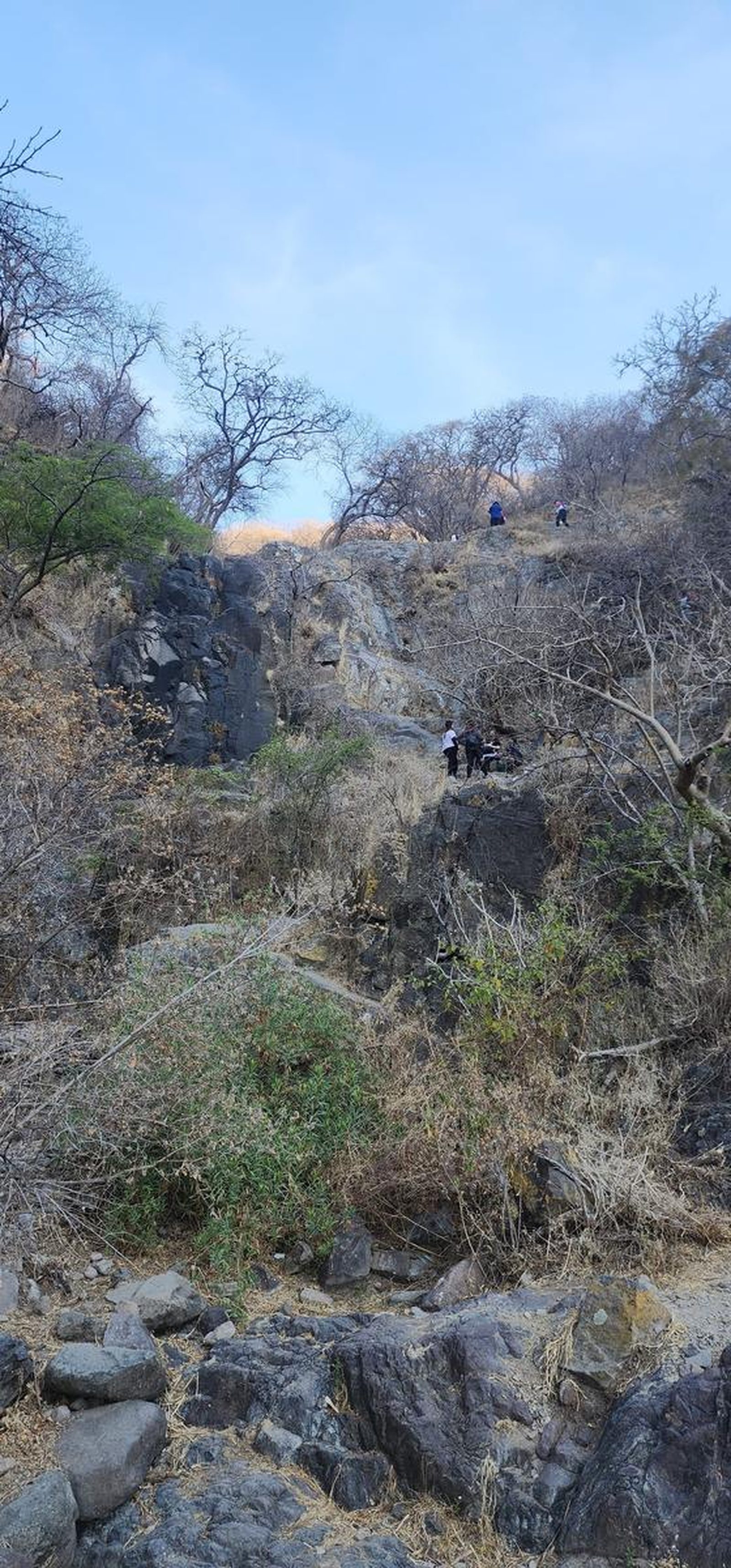
It offers us just over 1,100 m of positive elevation gain spread over almost 17 km, placing it at level 6 on our difficulty scale. The difficulty is comparable to that of Cerro de García or Cerro Viejo, with the difference that on this route the slope accumulates progressively.