
Chupinaya - Las Trojes - Sierra de San Juan Cosalá
Chupinaya - Las Trojes - Sierra de San Juan Cosalá
Sierra de San Juan Cosalá, Jocotepec
697 m
14.21 km
4 h 19 m
2456 msnm
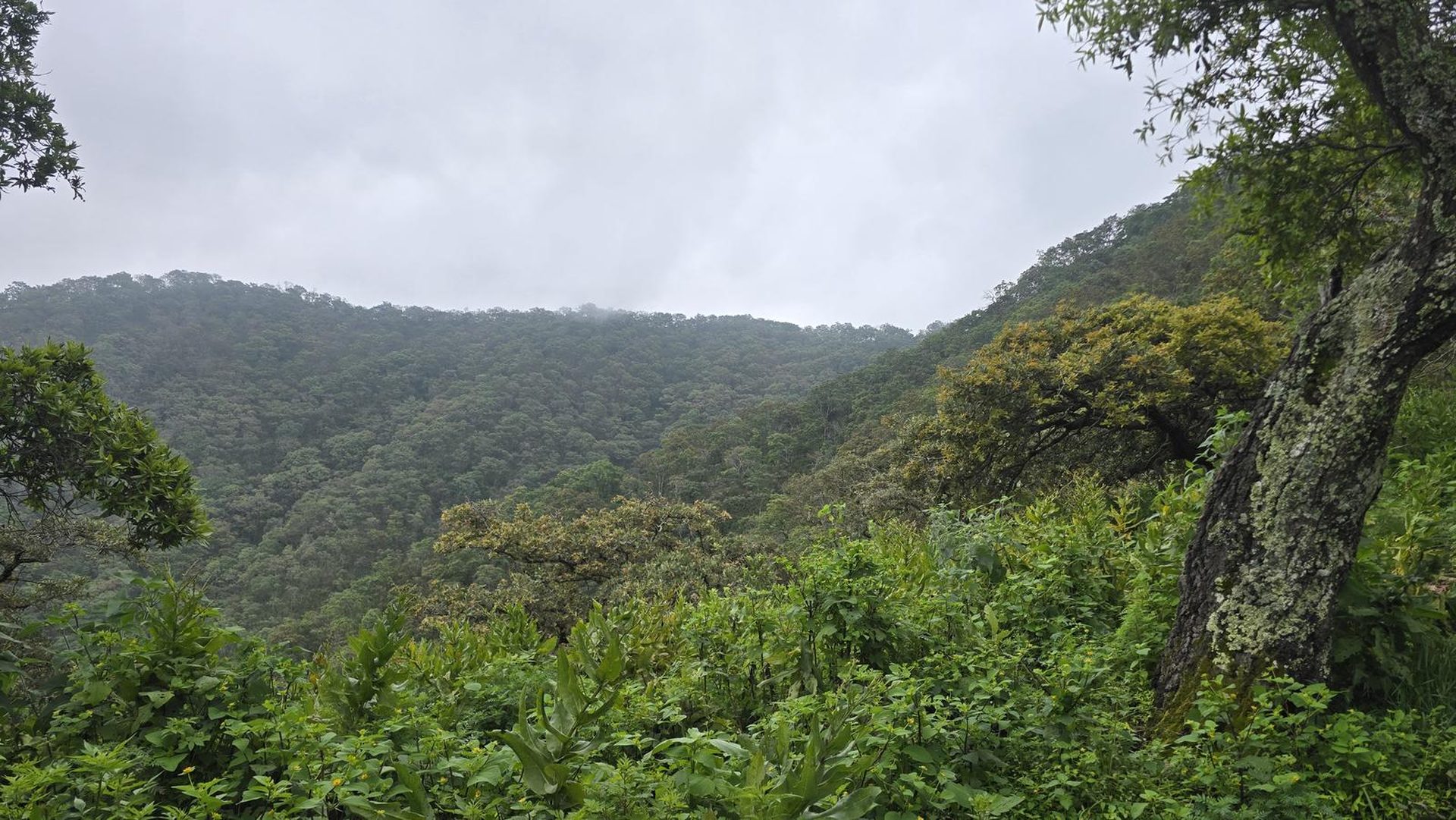
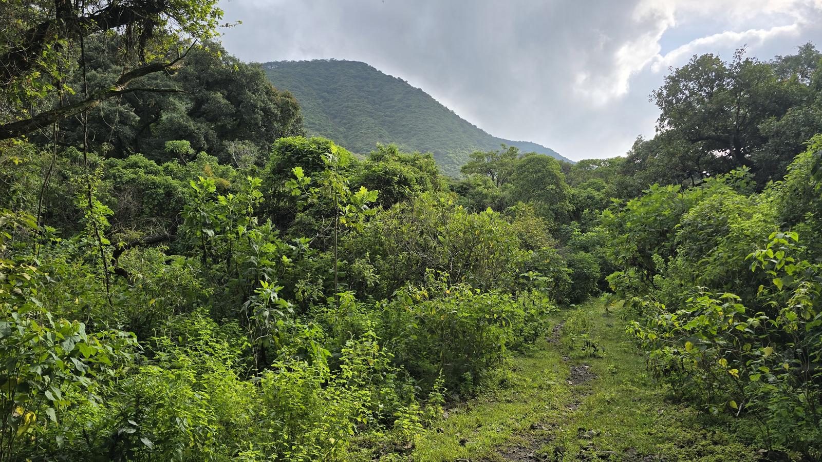
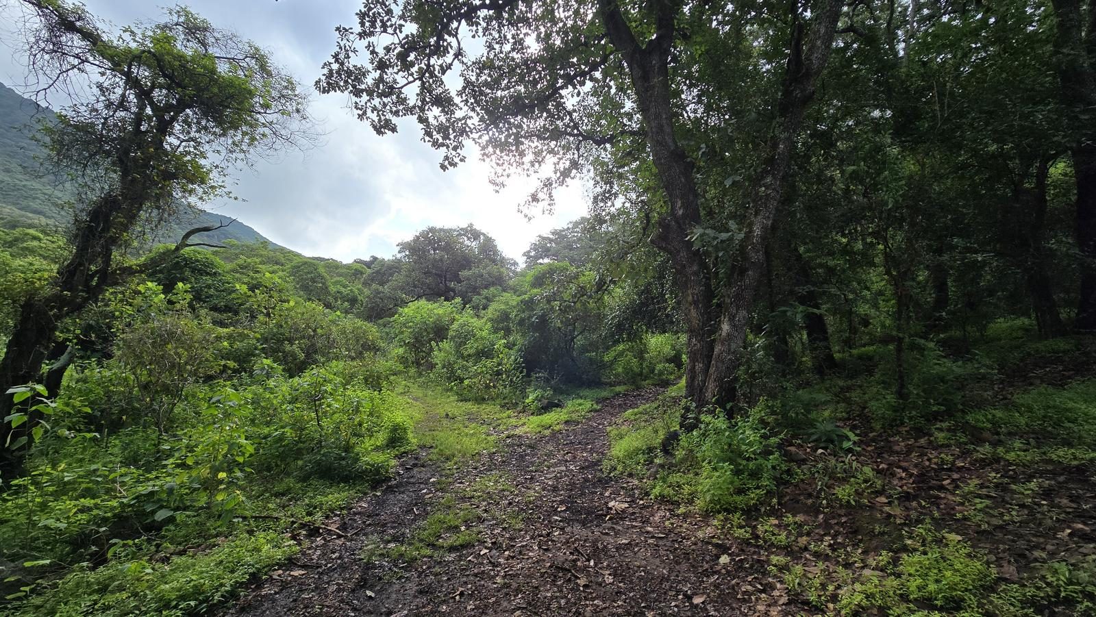
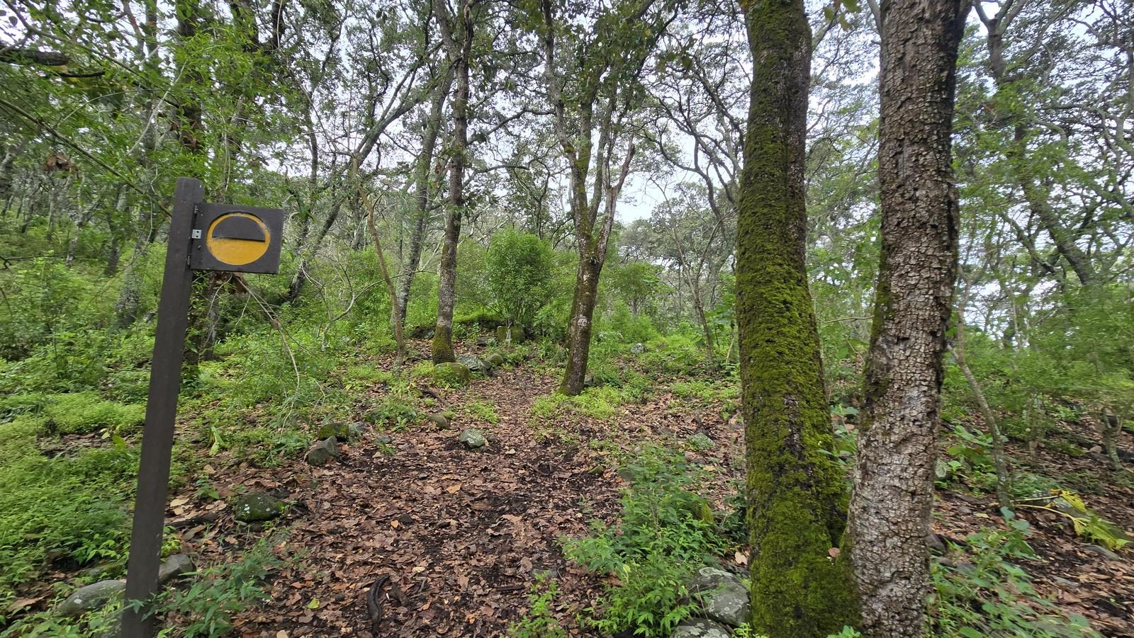
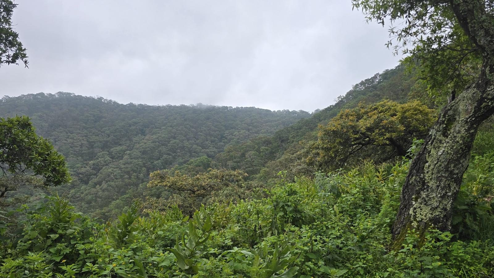
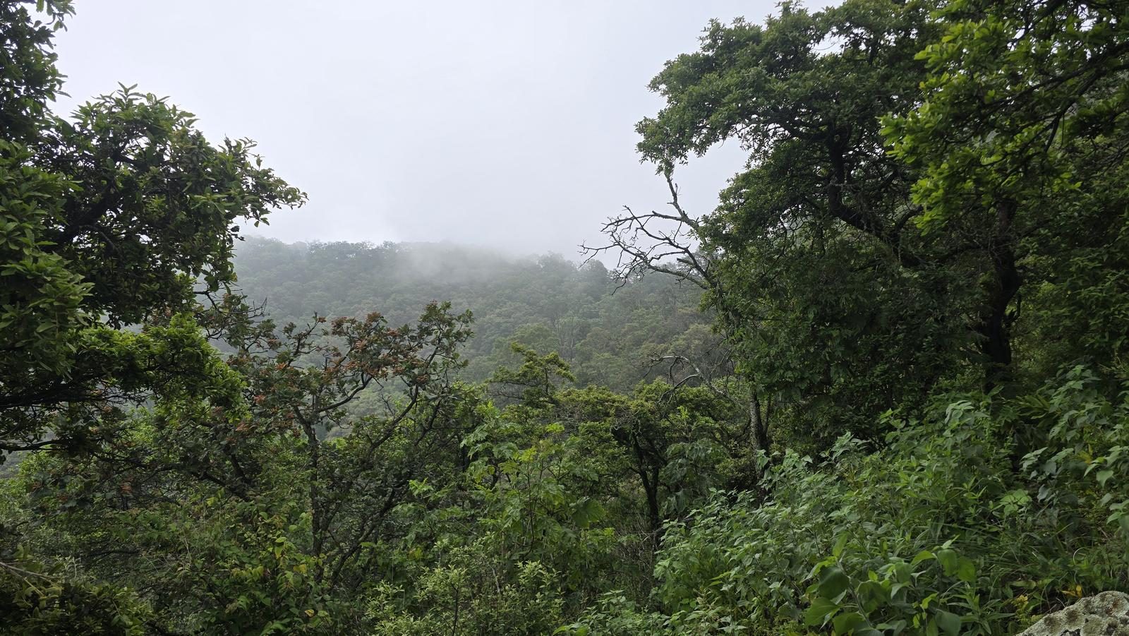
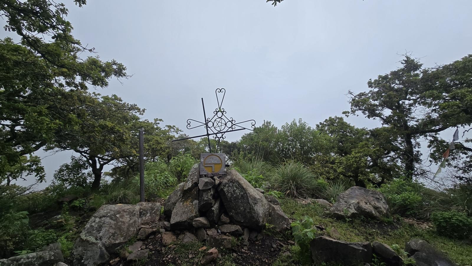
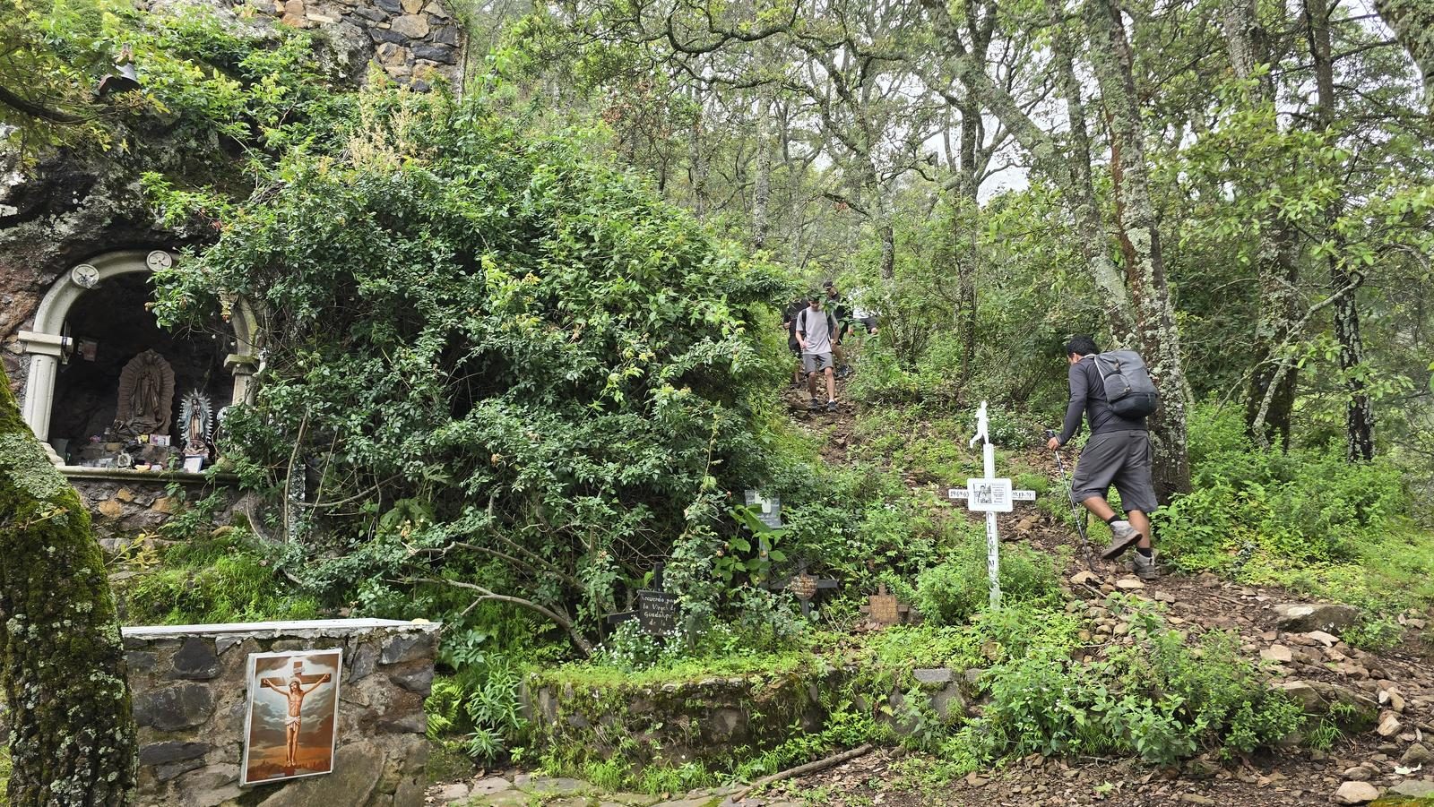
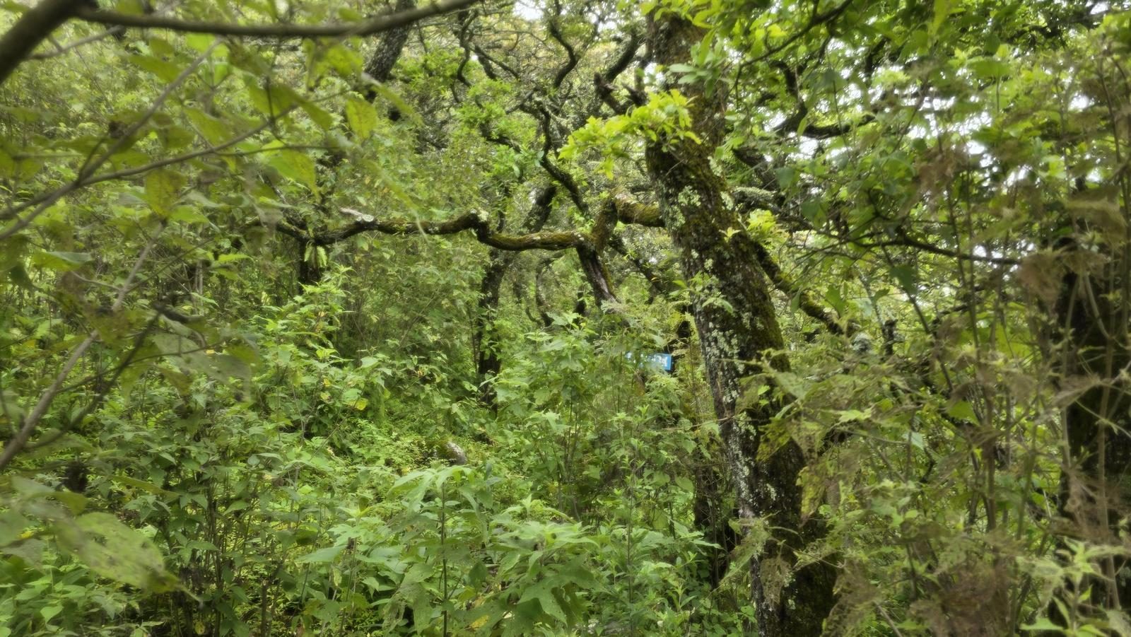
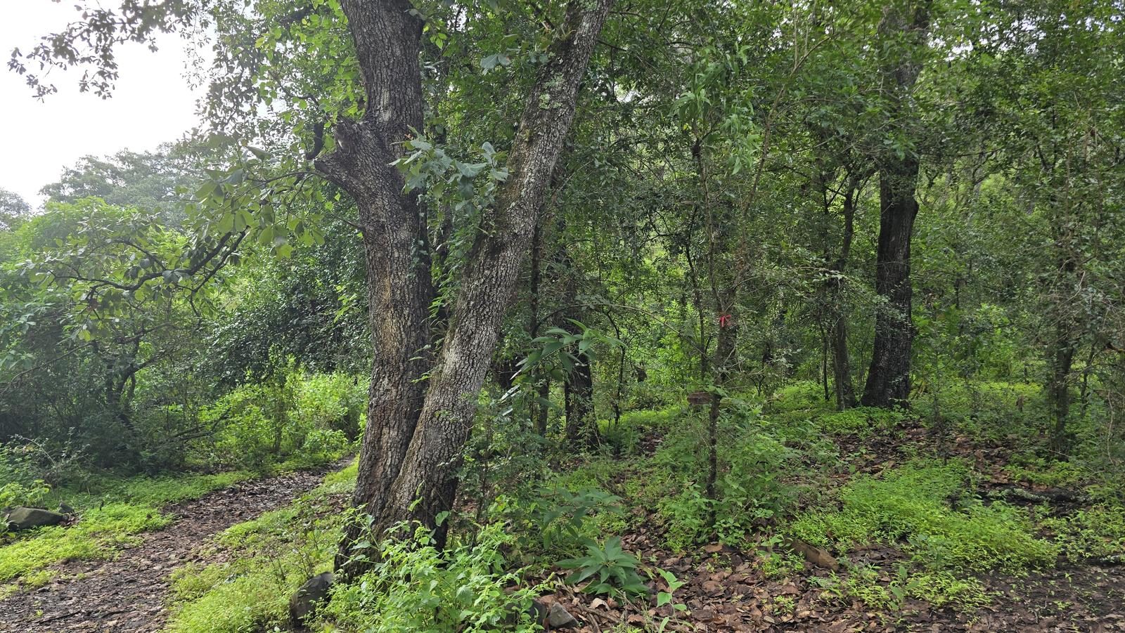
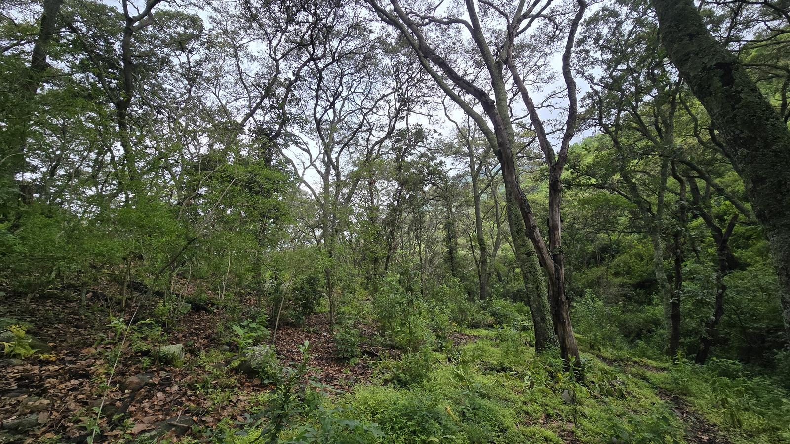
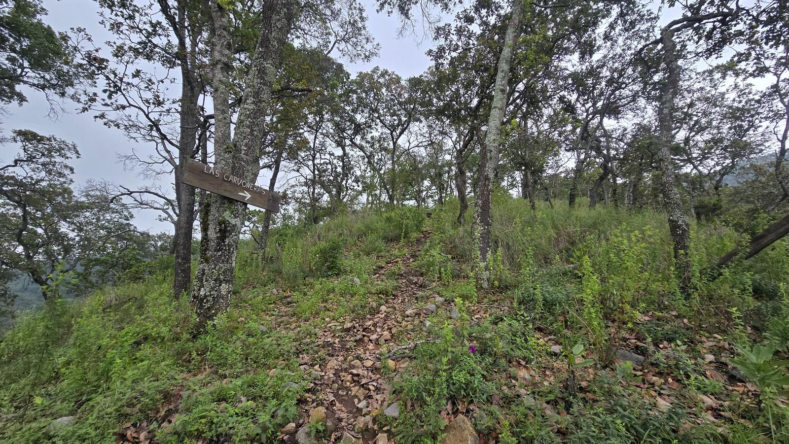
Climb Chupinaya by its west face, starting at Las Trojes. Most of it stays shaded under the forest, and the summit pays out with full views of Lake Chapala.
📢 Alerts & Updates
This route can be done comfortably in any season of the year. Only avoid in seasons of extreme heat.
Warnings

Level
i
Packing List
How to get there
Trailhead Access
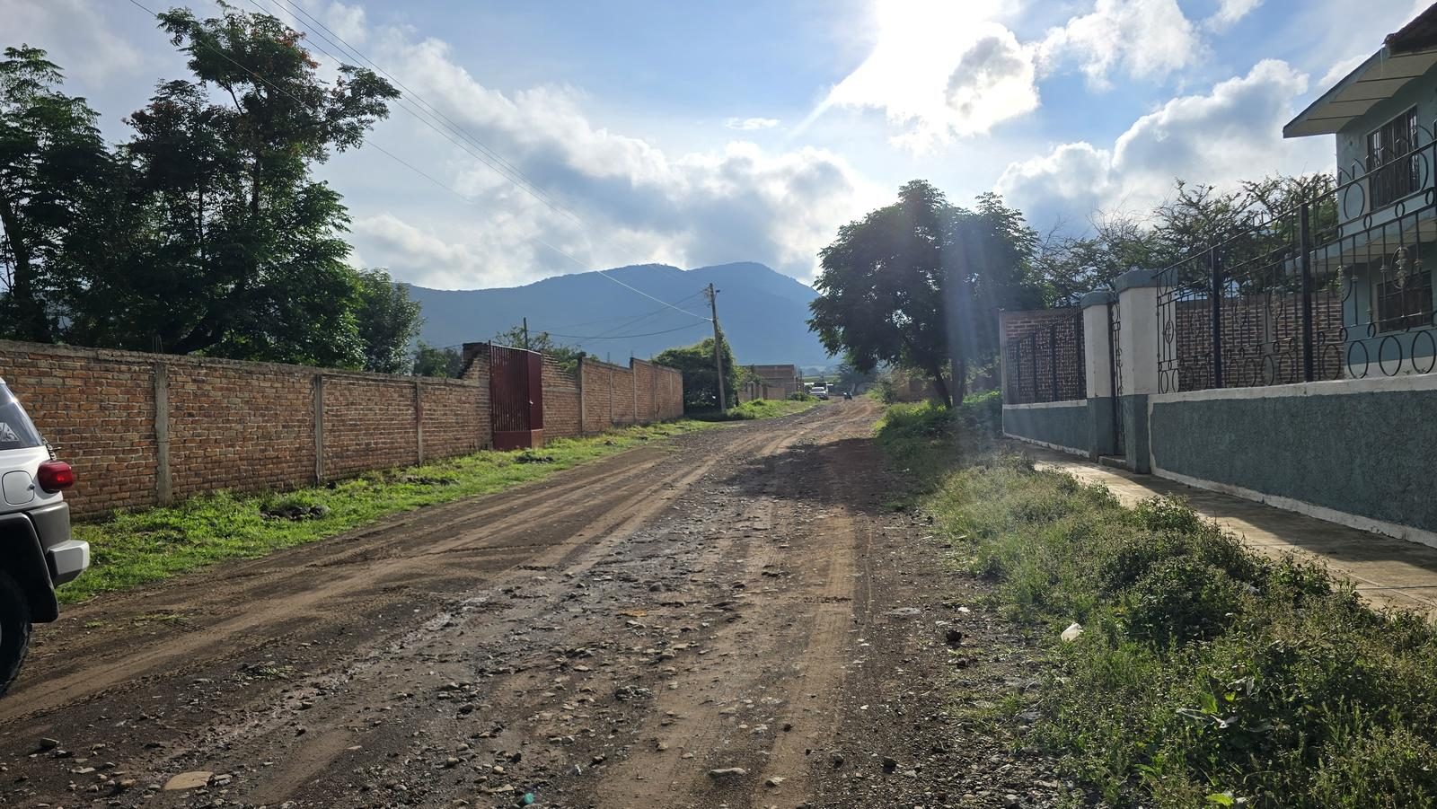
Departing from downtown Guadalajara, take the Highway to Colima and, after the Macro Bypass, exit for Jocotepec. 45 km later, one exit before reaching Jocotepec, turn left at the exit to San Luciano. You will pass through the town of Potrerillos and after approximately 17 km, you will arrive at the town of Las Trojes. The roads are in good condition, just consider that between San Luciano and Potrerillos there is a curvy area. There is a bus line that runs from Jocotepec to Las Trojes every 4 hours.
Parking Information
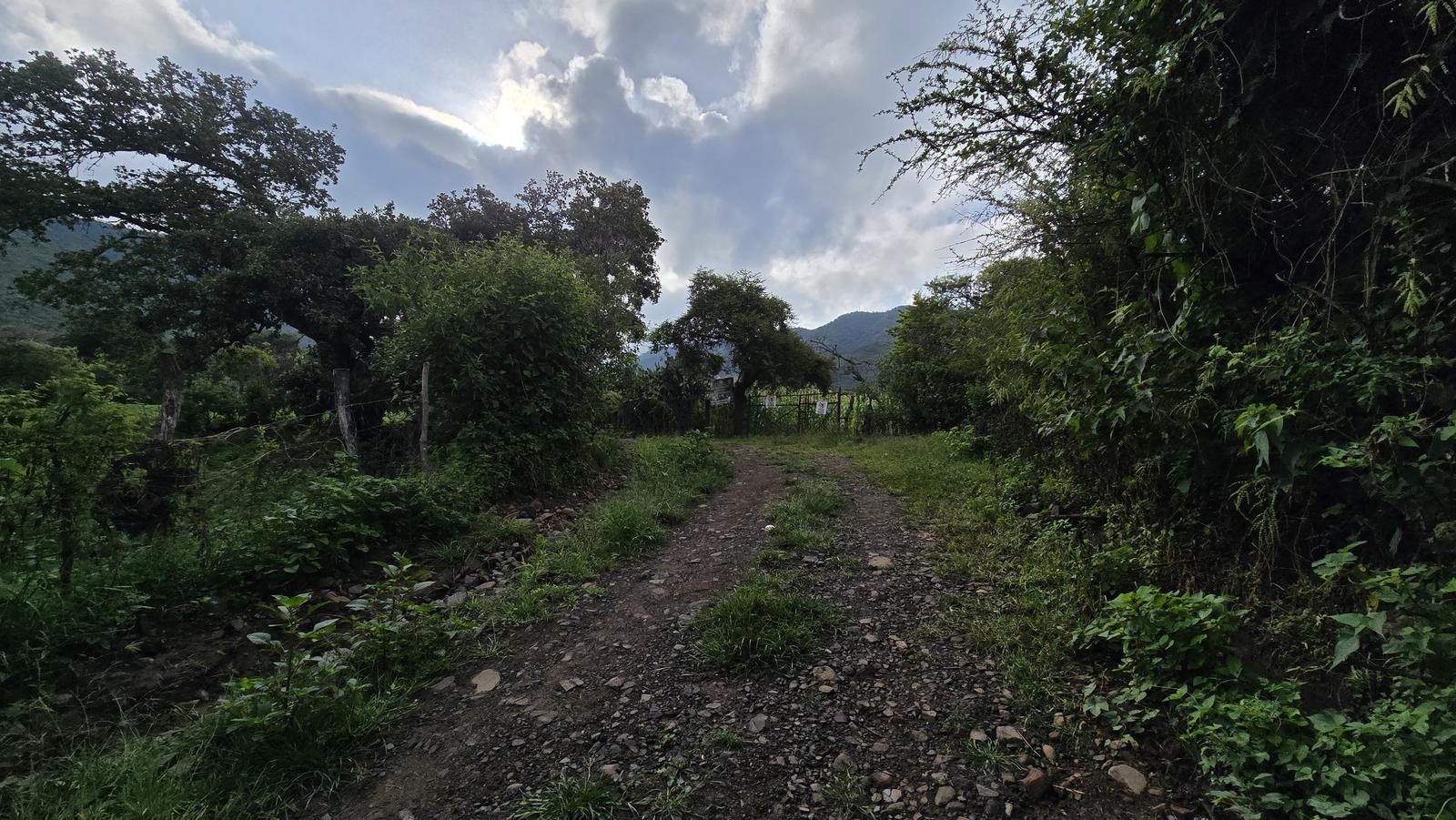
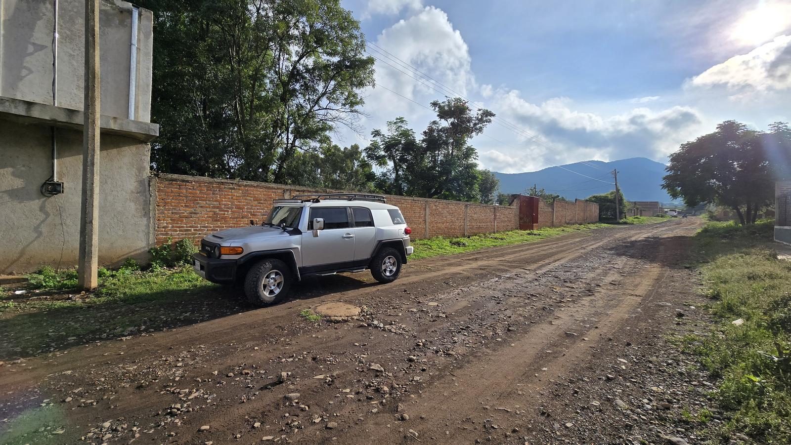
There is no parking area as such, but we can park on the street, without obstructing access or roads. This route can be shortened by approximately 6 km if you have a van or a 4x4, since the first 3 km are on dirt roads in good condition. If so, it is important to leave cars on the side of the road so as not to hinder the traffic of other vehicles.
Fees & Park Hours
August 2025: This route does not involve access costs.
Trail Overview
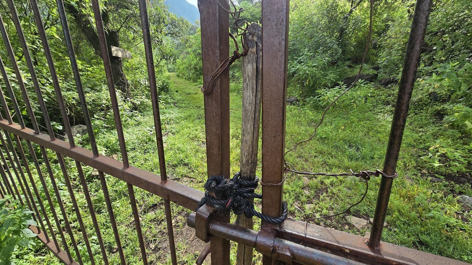
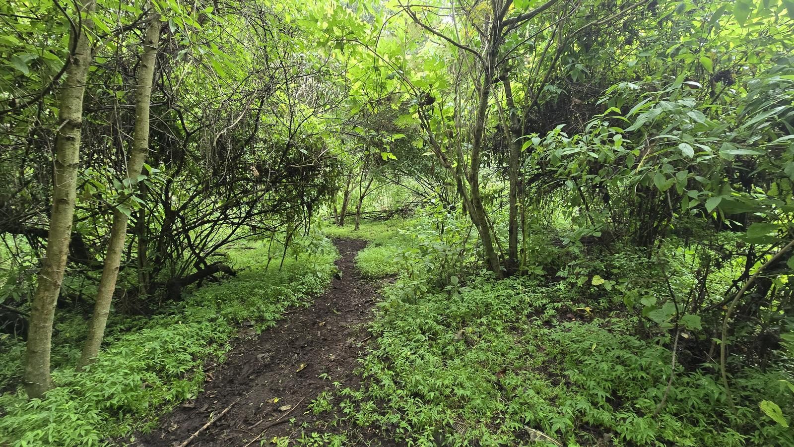
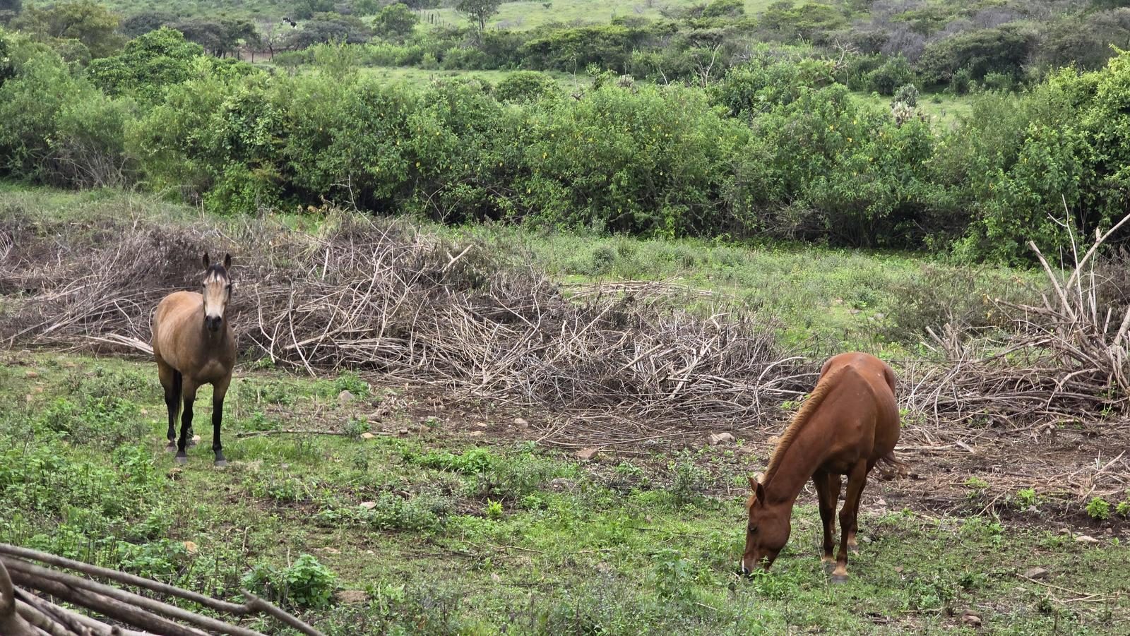
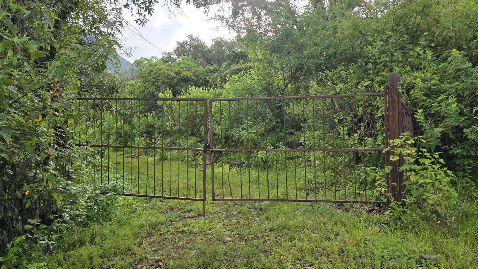
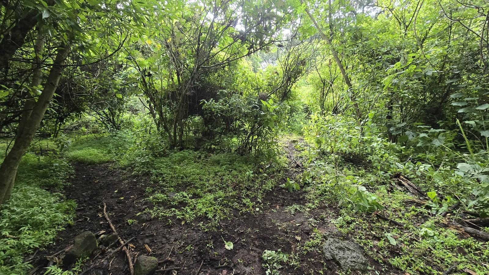
Very good. It's currently a busy trail, so the trail is notoriously trodden. There could be route variants due to the passage of cattle or as a result of heavy rains (small landslides or fallen trees), but with the help of Wikiloc it would be easy to find your way back.
Recommended Gear
- Hiking sticks - Hands free lamp (mining type) - External battery (PowerBank) - First Aid Kit or First Aid Kit - Thermal blanket - Sunscreen - Insect repellent
Elevation Gain
697 m
Total Distance (Out & back)
14.21 km
Total Time
4 h 19 m
Max Elevation
2456 msnm
Level 4. It offers us just over 700 m of positive elevation gain (climb), making it an excellent option for intermediate hikers with good physical condition. If you have already climbed the Chupinaya via the Tepal, this route is a little easier. It is worth mentioning that half of the slope accumulates in 1.5 km, so it will be the most demanding part (starting from Wp. Start of Pending). It is comparable to climbing La Cristina, or climbing the Barranca de Huentitán along the tracks. It's a little more difficult than the El Caracol Trail, in the same Sierra.