
Circuito Cañón del Carbón - Bosque la Primavera
Circuito Cañón del Carbón - Bosque la Primavera
Área de Protección de Flora y Fauna La Primavera, Zapopan
183 m
8.74 km
2 h 14 m
1804 msnm
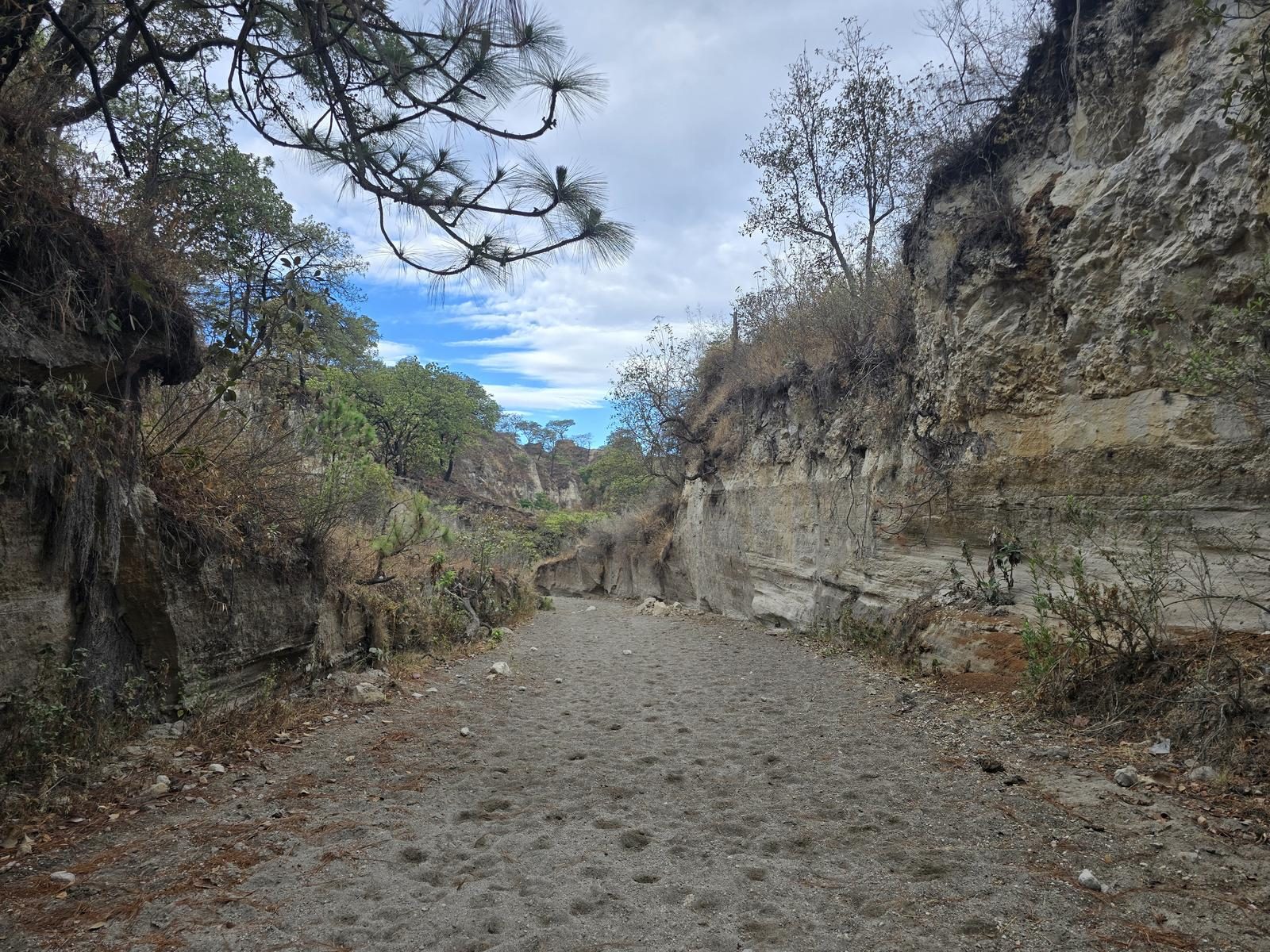
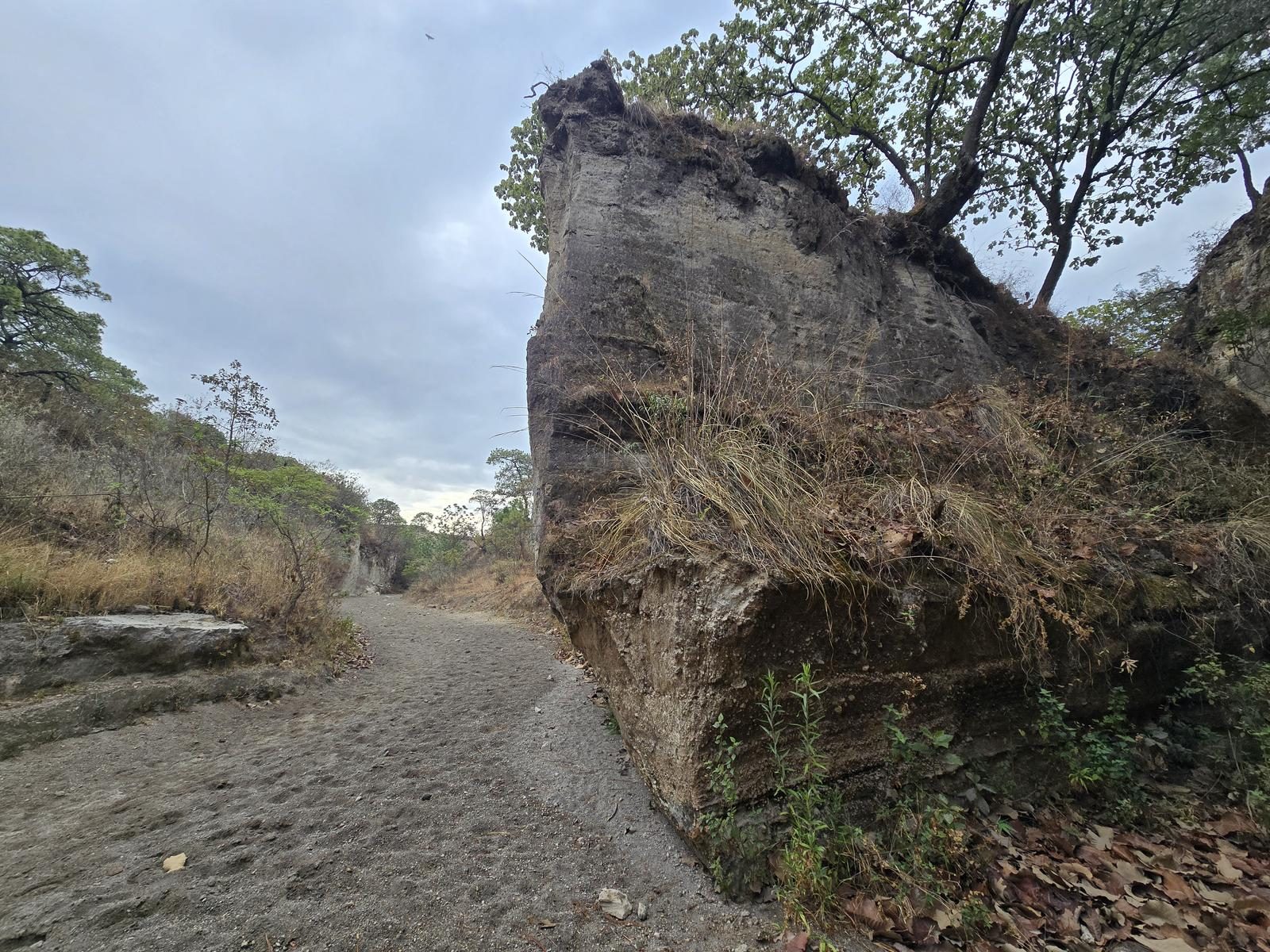
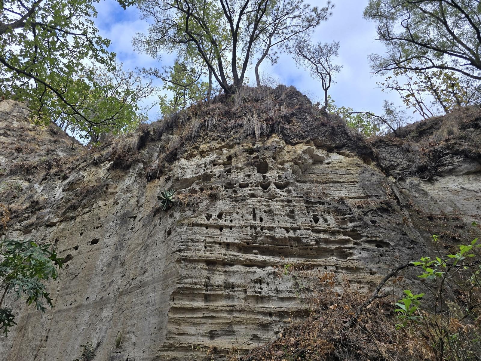
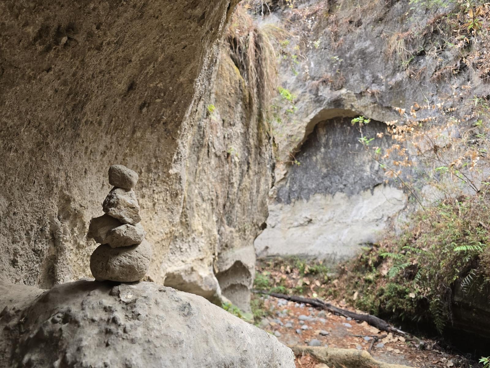
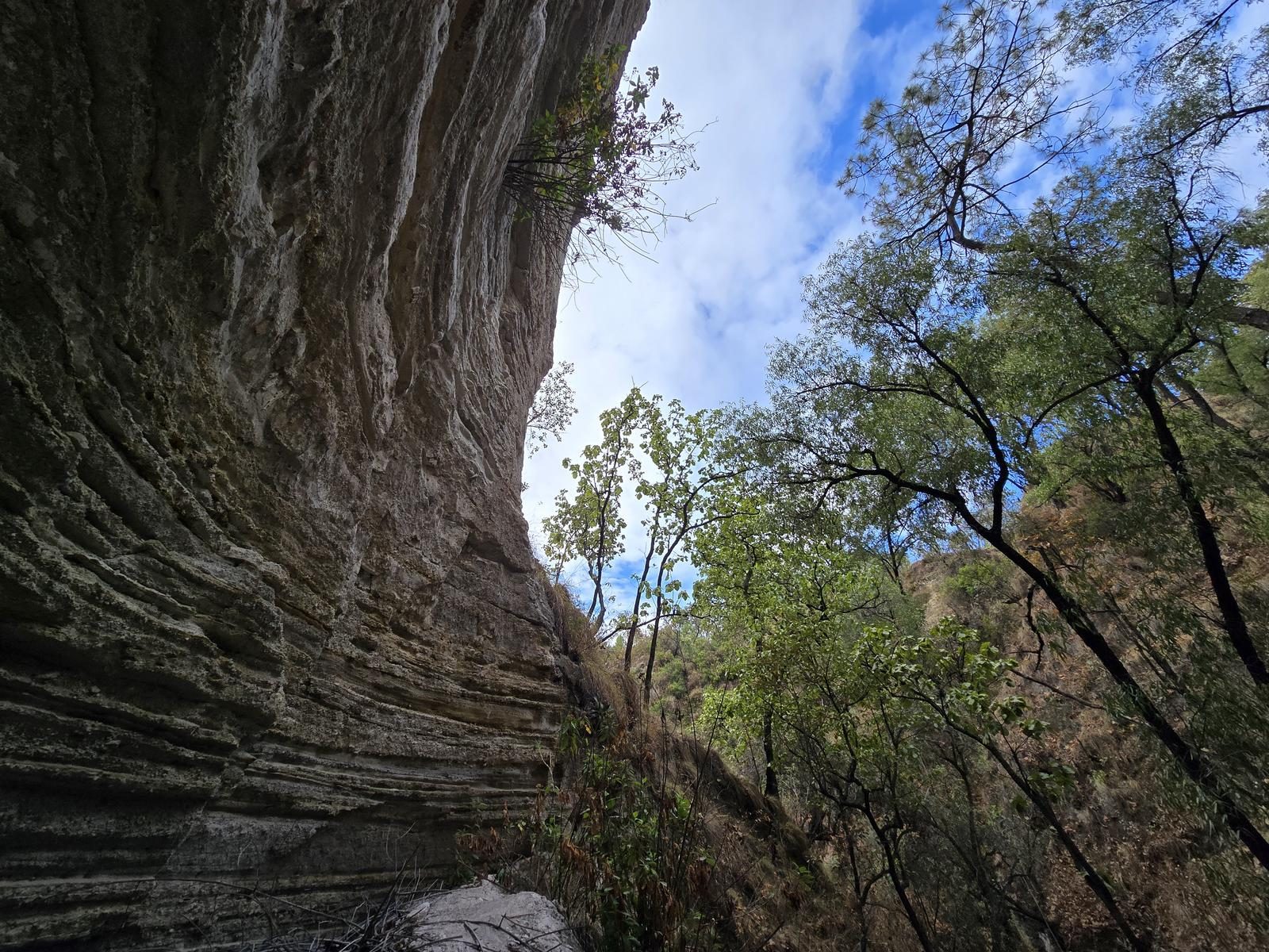
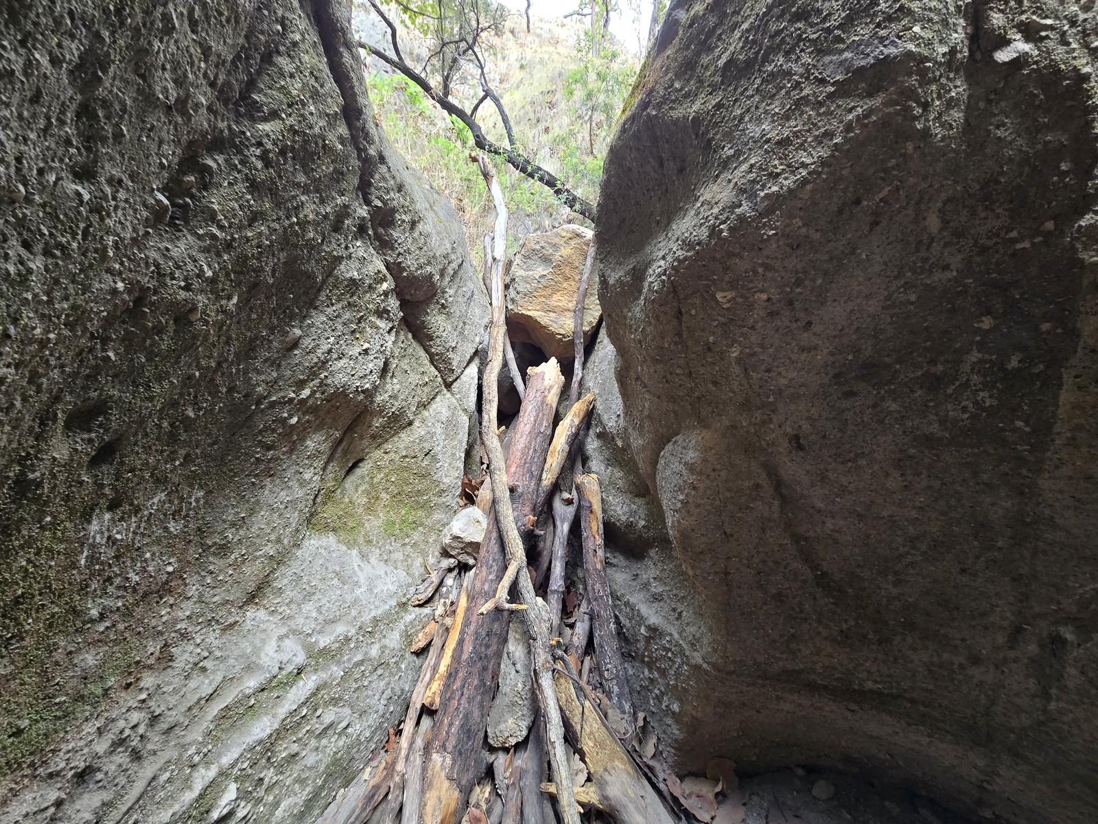
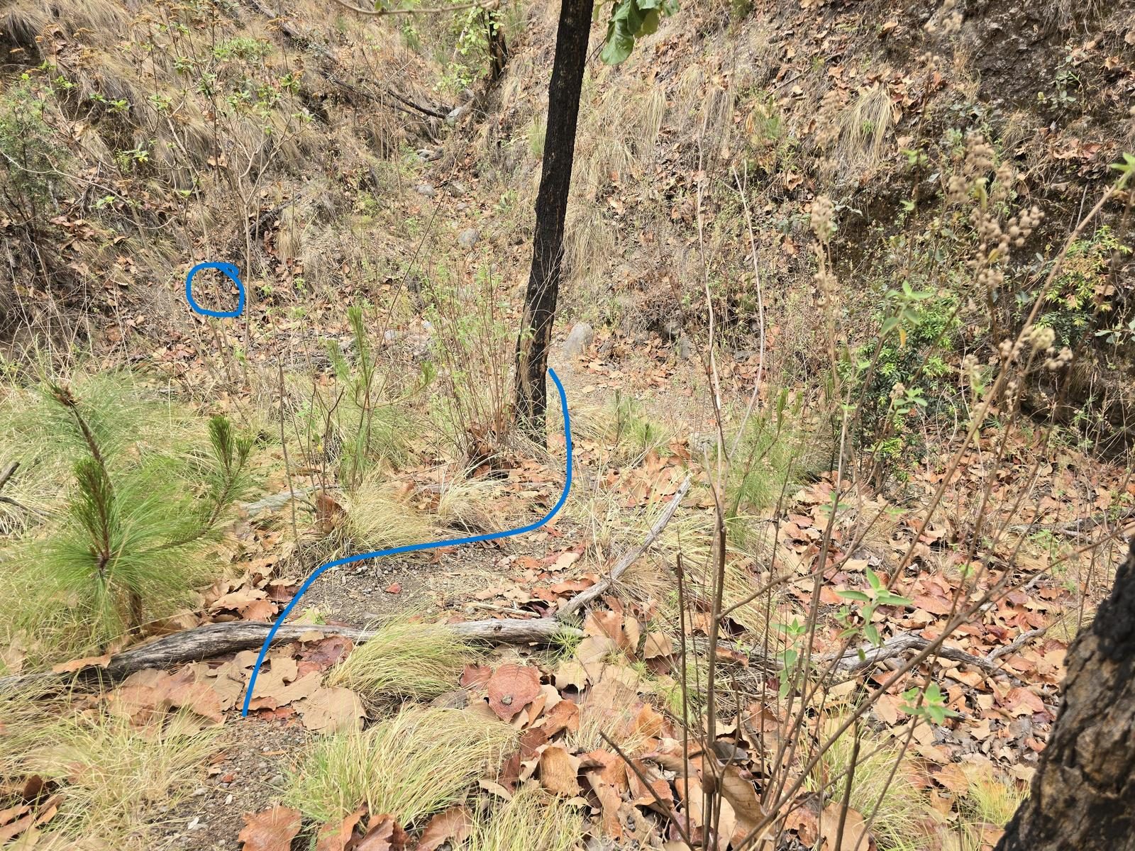
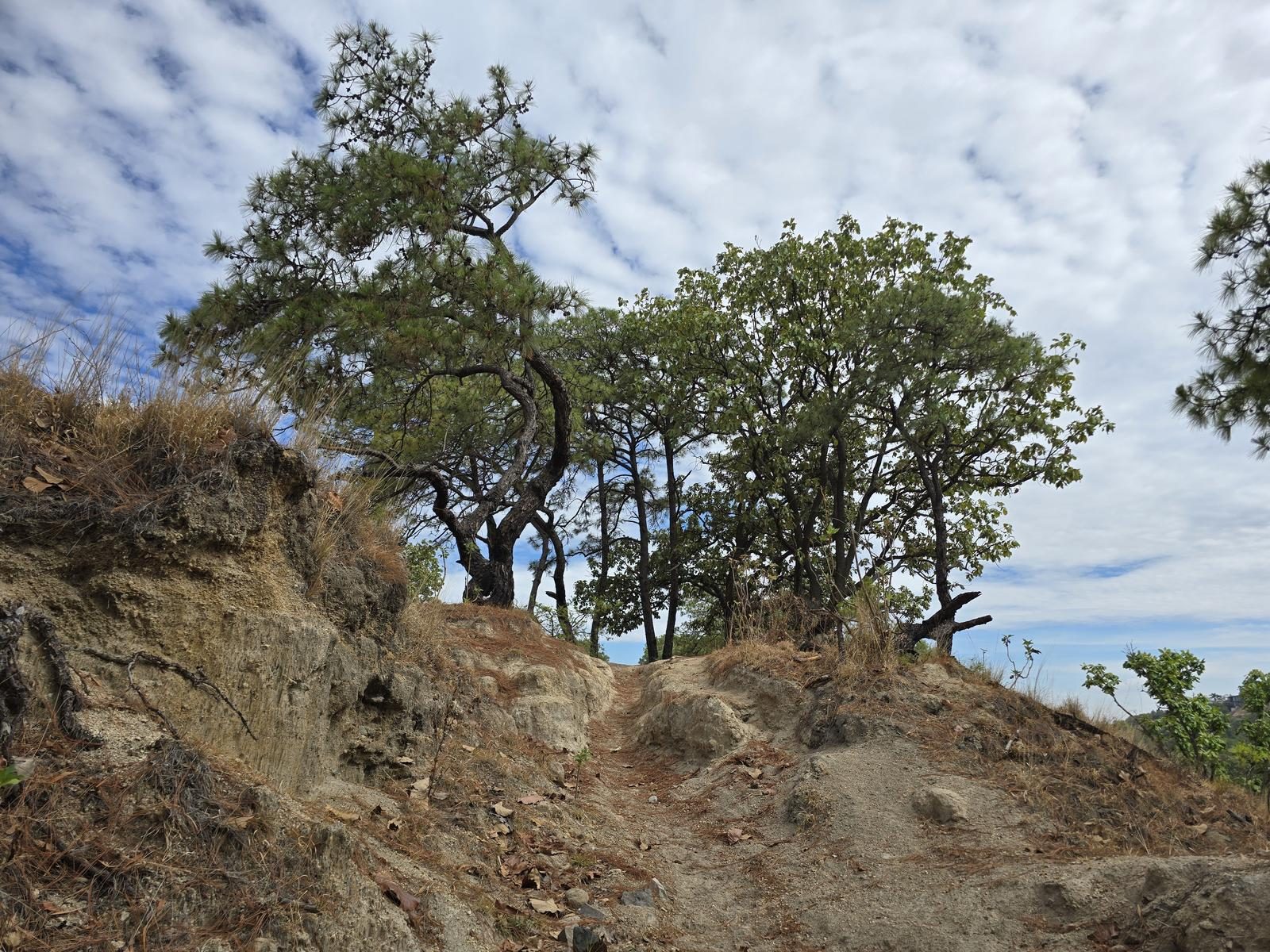
Cañón del Carbón narrows to a metre and a half between walls. Skip it after rain: the sand packs and slides, and dead trees come down inside the canyon.
📢 Alerts & Updates
This route can be done comfortably in any season of the year. Only avoid during the rainy season, as there may be sudden floods and/or landslides.
Warnings


Level
i
Packing List
How to get there
Trailhead Access
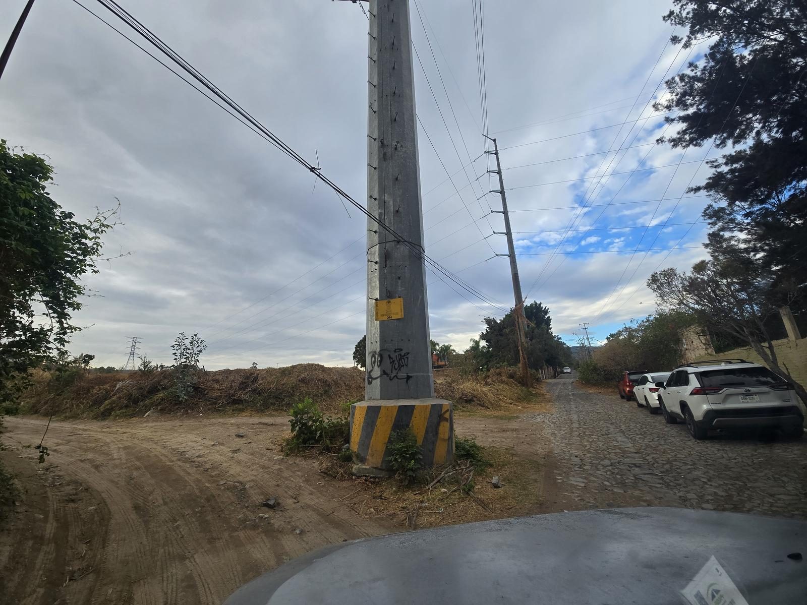
Departing from downtown Guadalajara, take the road to Vallarta. When you arrive at the town of Venta del Astillero, take the first return. Turn right on Allende Street and walk it to where it ends, and then take Los Pinos Avenue. 200 m after turning, there is a high-tension tower and at that intersection we can leave our cars.
Parking Information
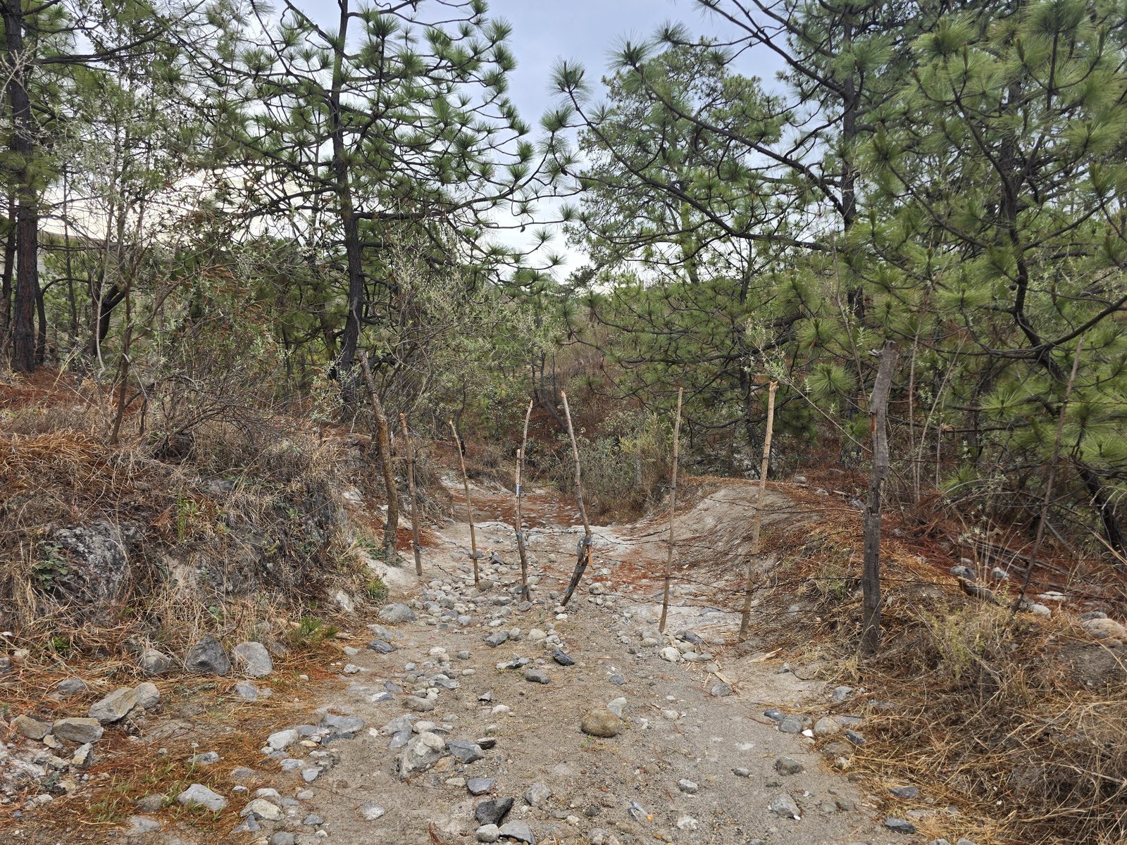
There are two areas: The first is around the high-tension tower, but you can only park a couple of cars without hindering free traffic. The other option is a vacant lot right at the start of the route, but it was recently fenced off. It has a removable wire fence; if you choose this option, it is very important to close it when entering and leaving, as well as to be respectful of the area and the wiring.
Fees & Park Hours
As of July 2025, this route does not involve access costs.
Trail Overview
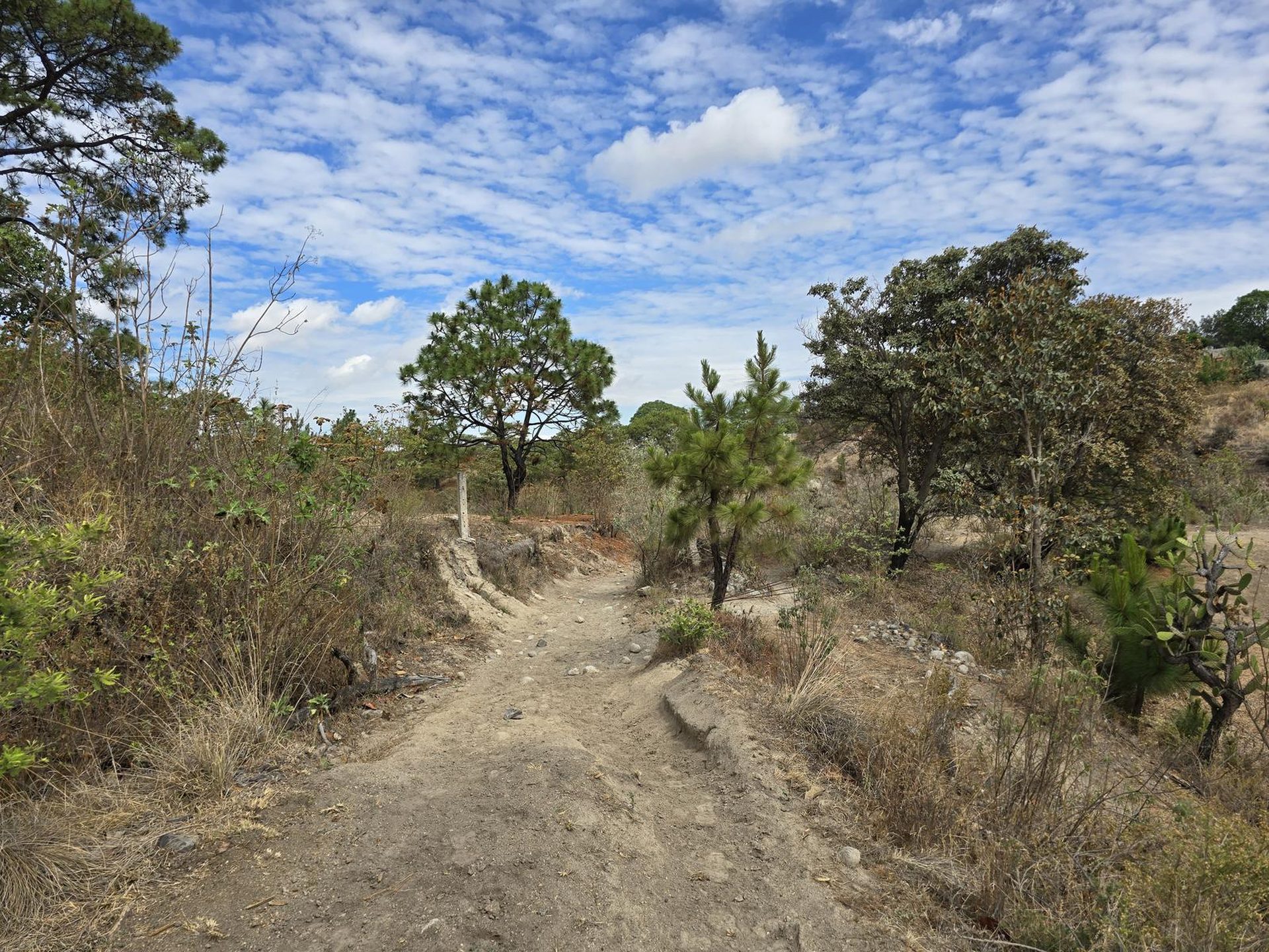
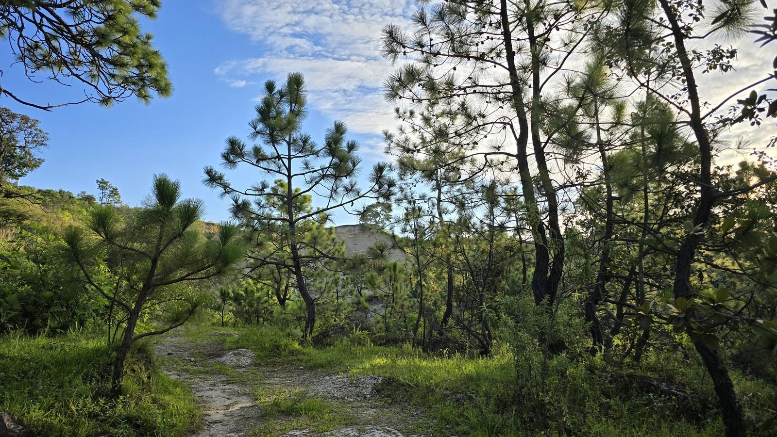
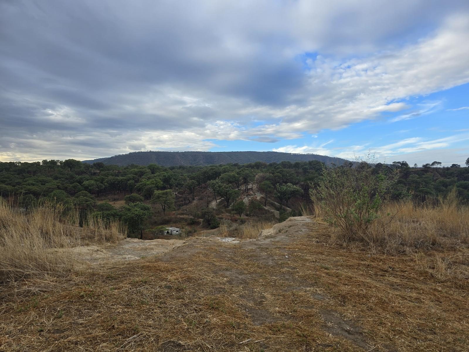
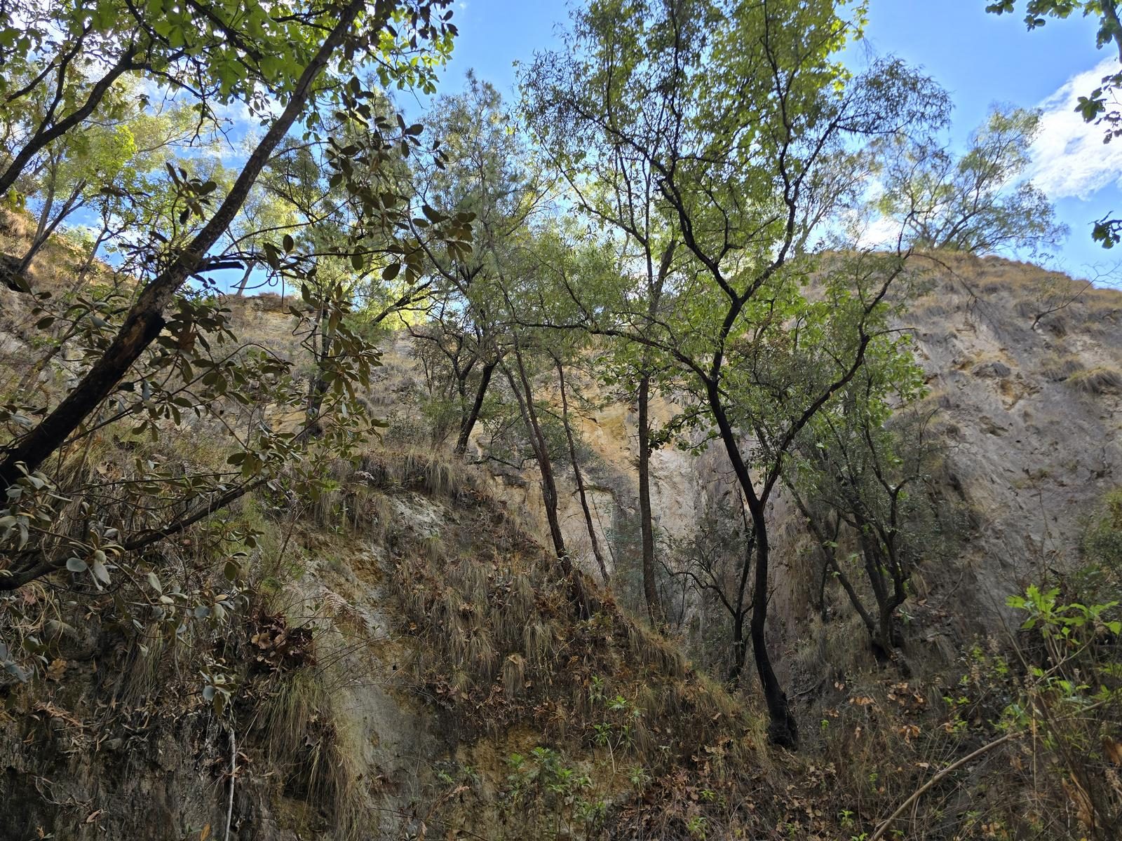
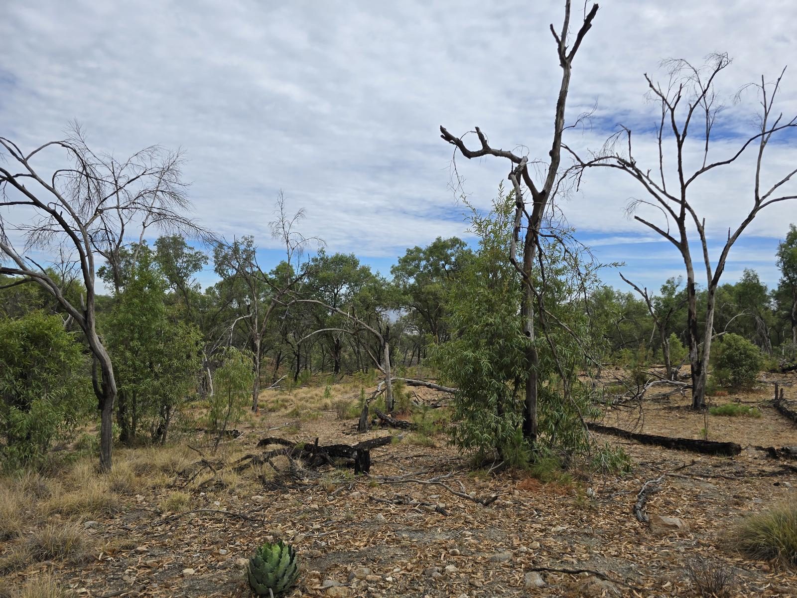
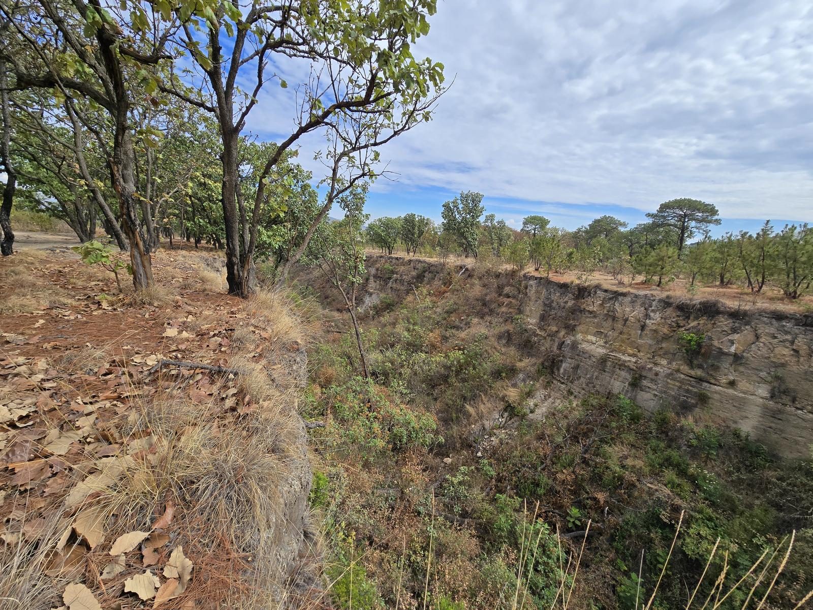
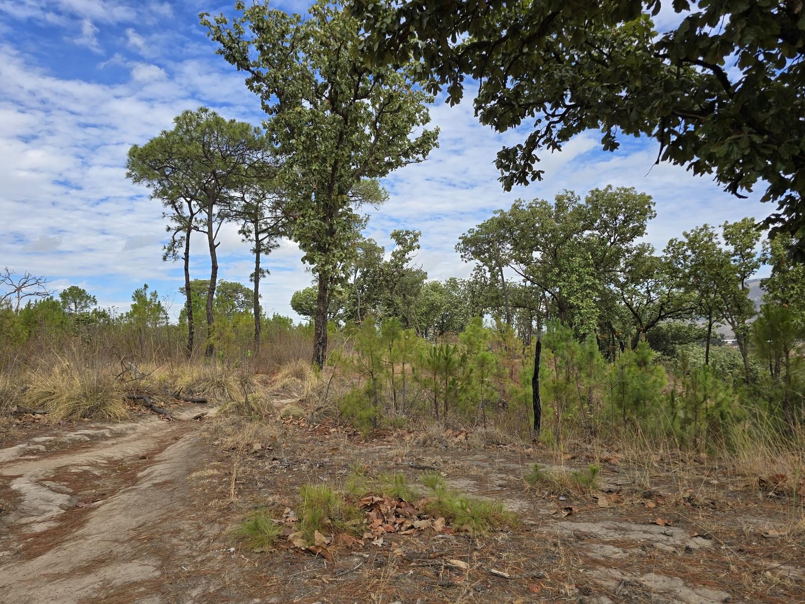
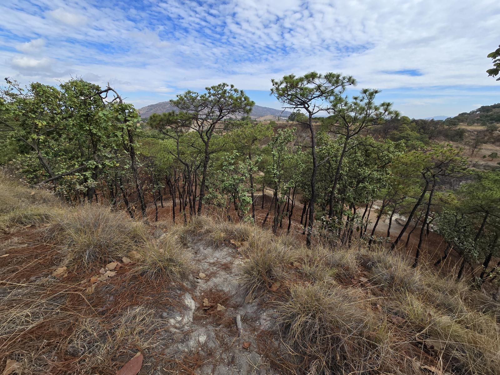
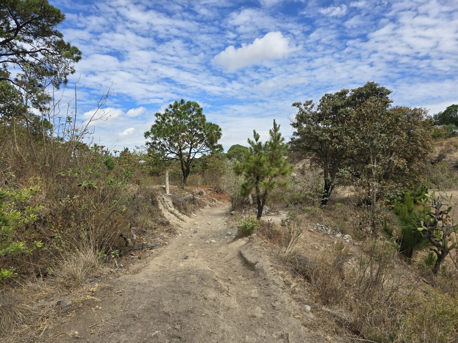
Moderate. The first half of the route is inside the canyon and the route is very intuitive. Sometimes, the path will be very narrow because the walls come together almost 1.5 m apart. As we advance, the canyon will open and eventually we can leave the canyon and climb to the top to start returning. In the upper part, there are some route variants, but all you have to do is pay attention to Wikiloc to stay on track.
Recommended Gear
- Hands free lamp (mining type) - External battery (PowerBank) - Sunscreen - First Aid Kit or First Aid Kit - Thermal blanket - Insect repellent

Elevation Gain
183 m
Total Distance (Out & back)
8.74 km
Total Time
2 h 14 m
Max Elevation
1804 msnm
Route level 1 (scale from 1 to 10). The route offers us just under 200 m of positive elevation gain over just over 4 km one way. Regarding physical condition, this is an ideal route for beginners in hiking, although it requires excellent mobility to overcome obstacles along the route.