
Cruz de Volcancillos - Techaluta de Montenegro, JAL
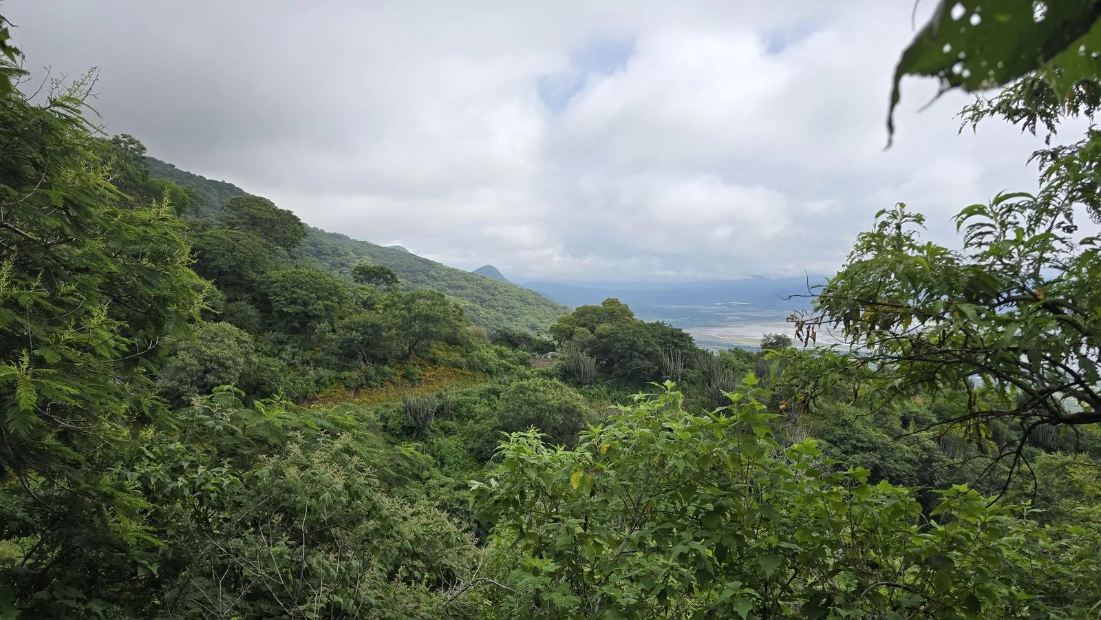
Cruz de Volcancillos - Techaluta de Montenegro, JAL
Jalisco, Techaluta de Montenegro
1277 m
18.53 km
6 h 14 m
2704 msnm
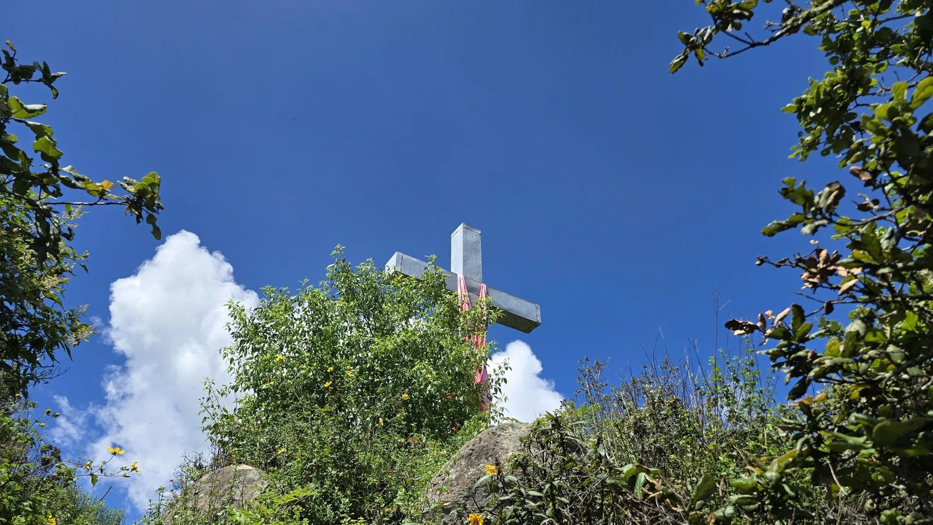
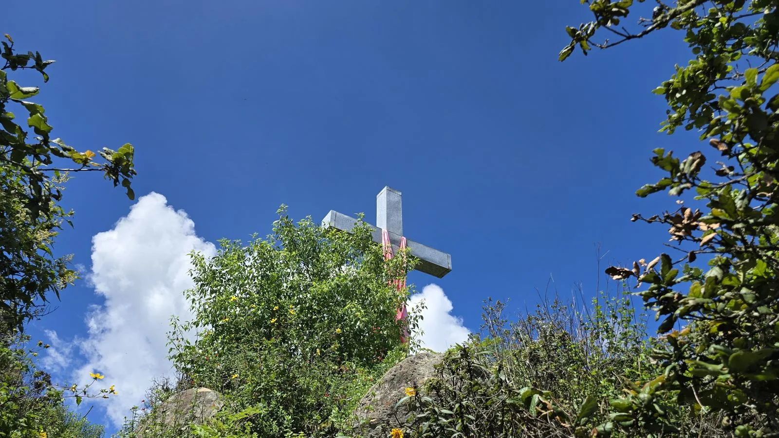
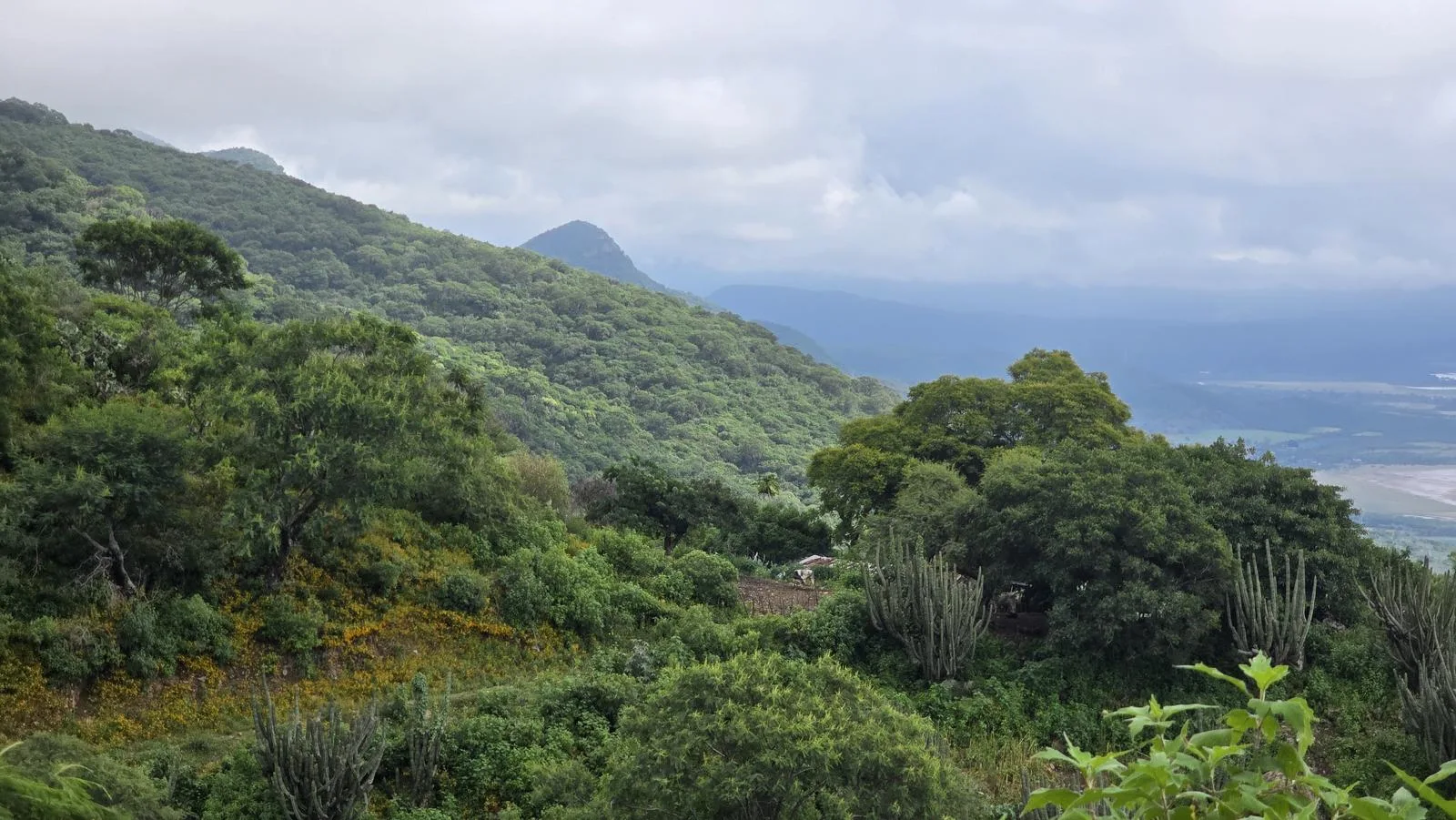
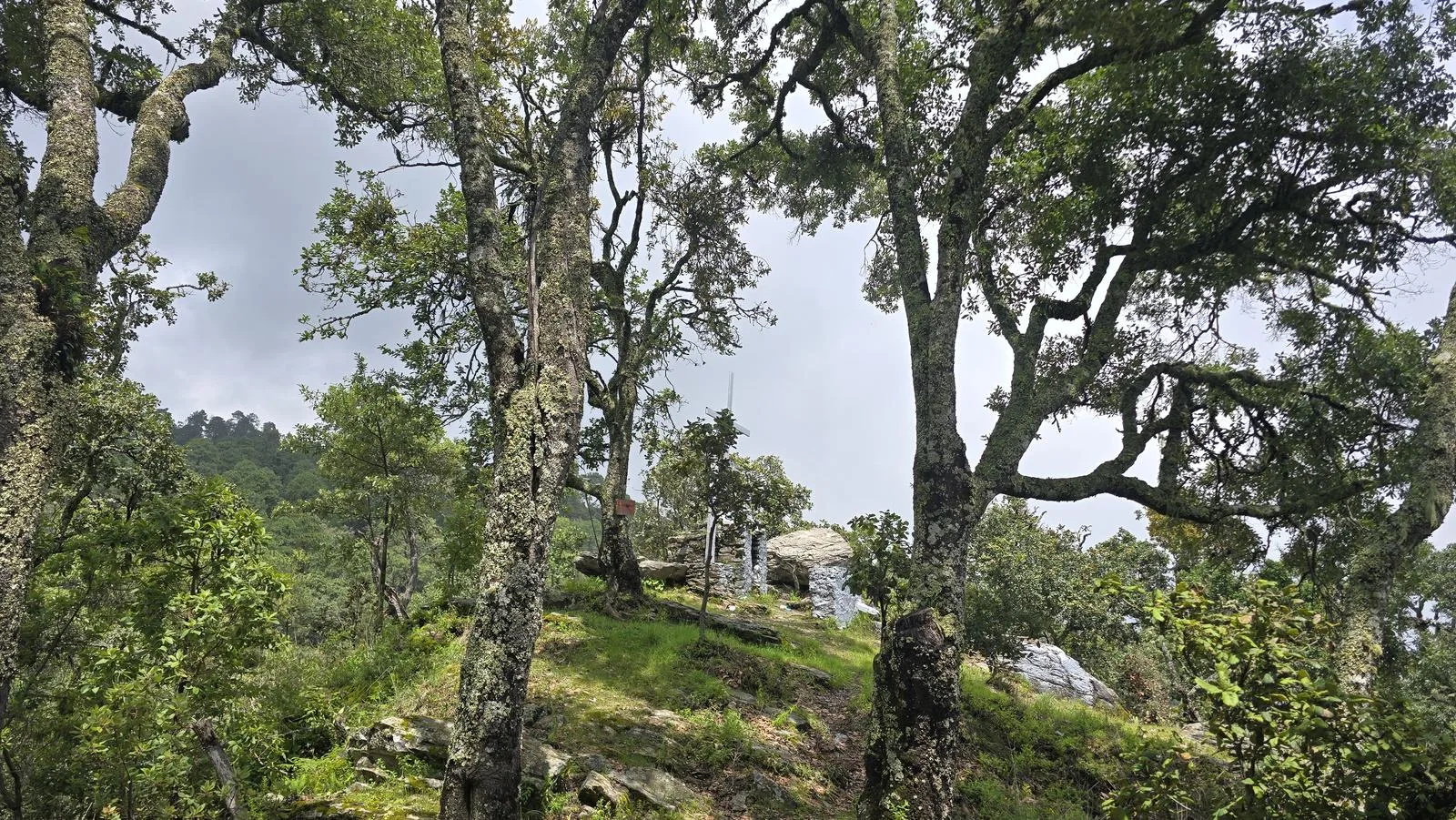
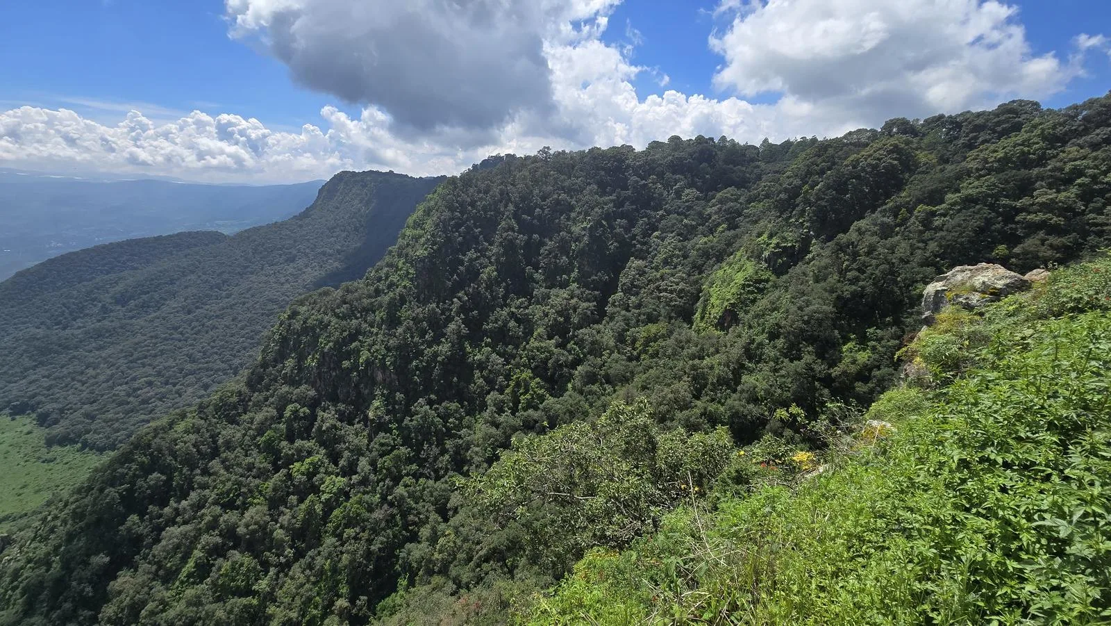
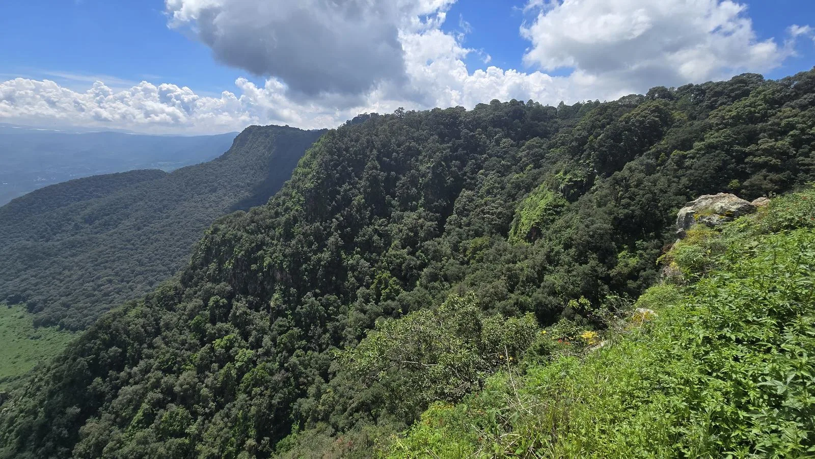
Cruz de Volcancillos, in the San Miguel canyon. Go in May or June and you catch Techaluta's pitaya harvest; the rest of the year, you just get 1,277 m of climbing.
📢 Alerts & Updates
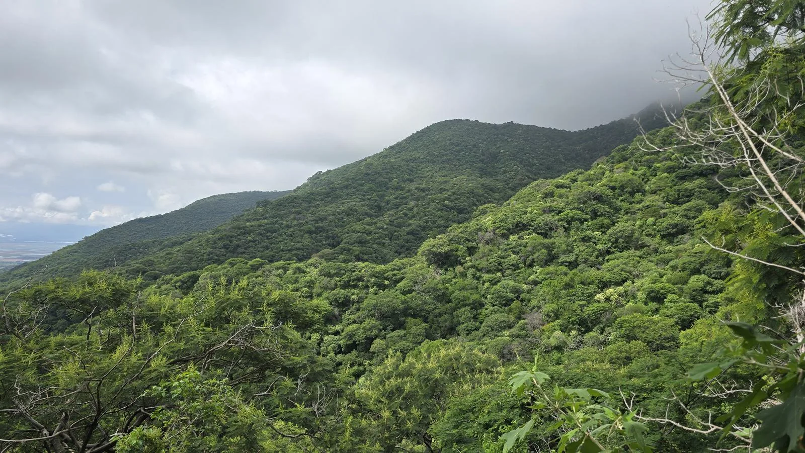
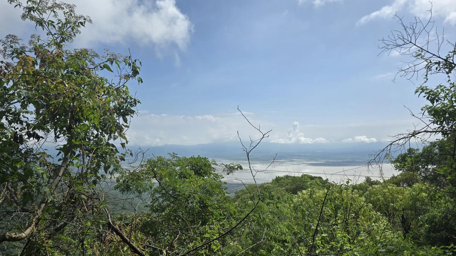
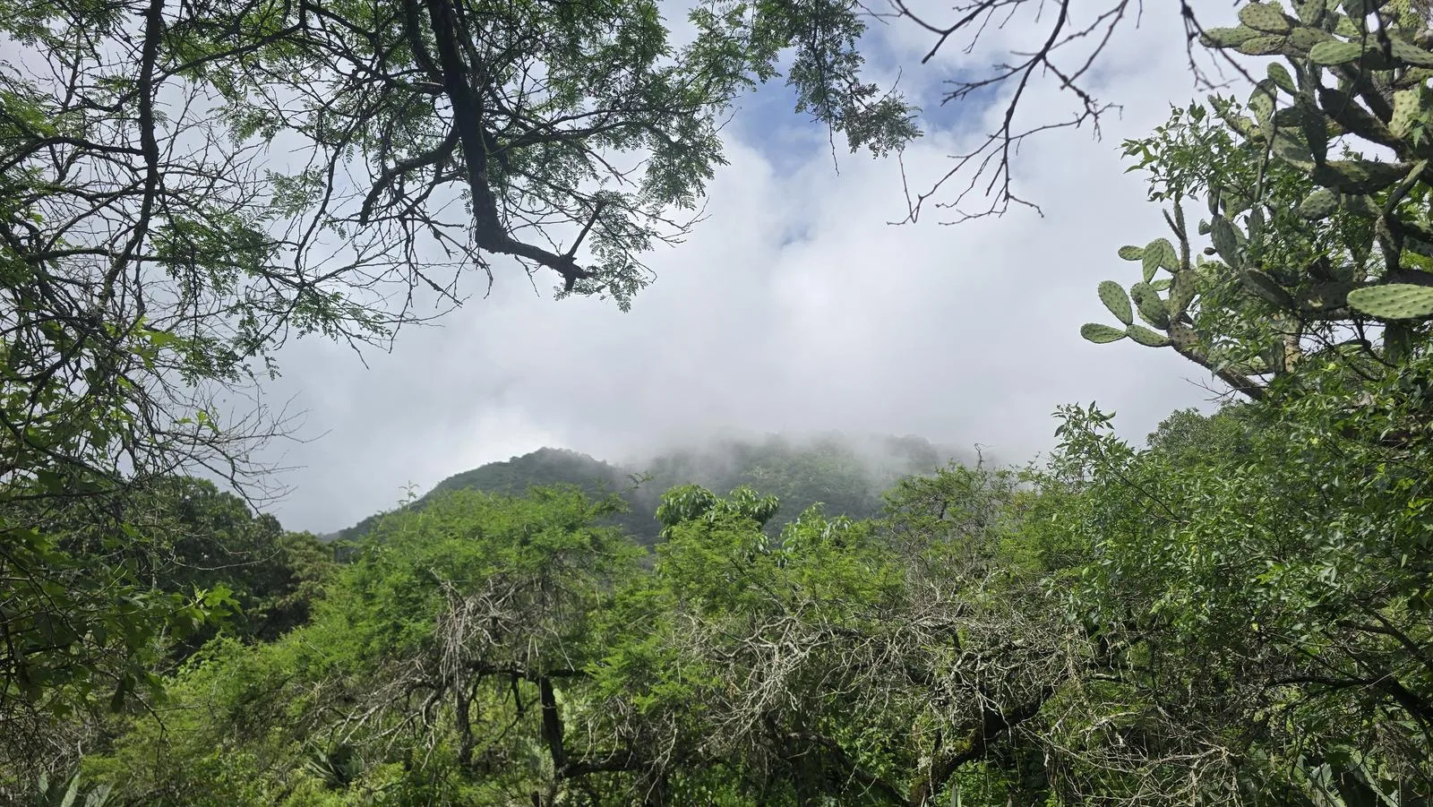
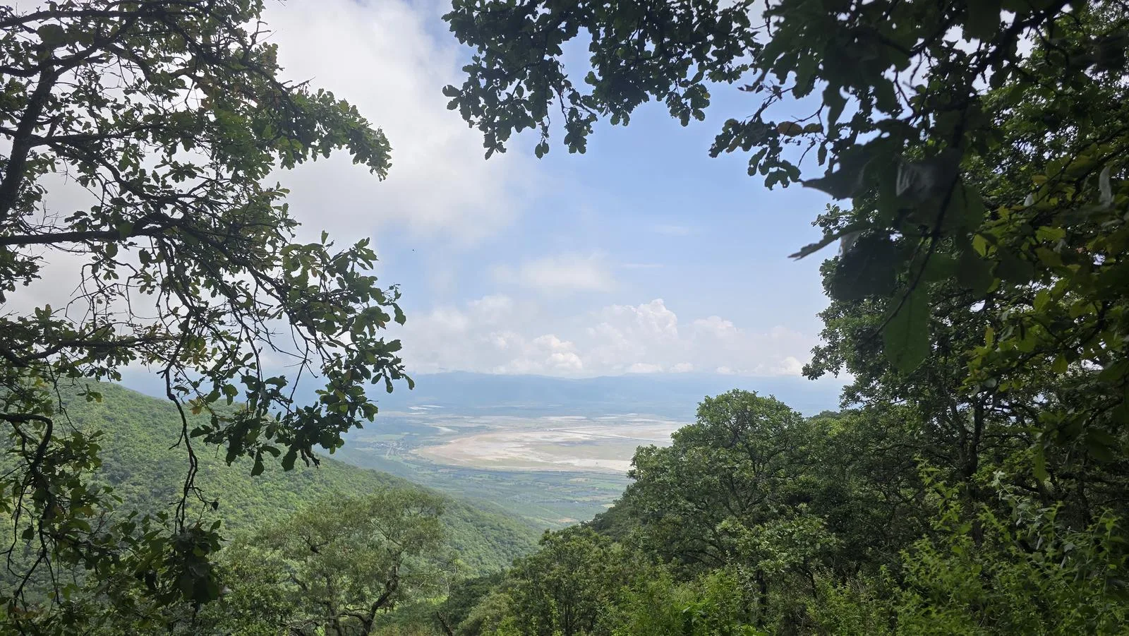
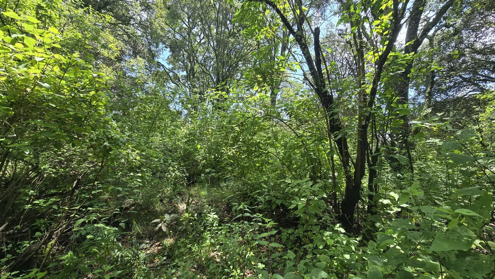
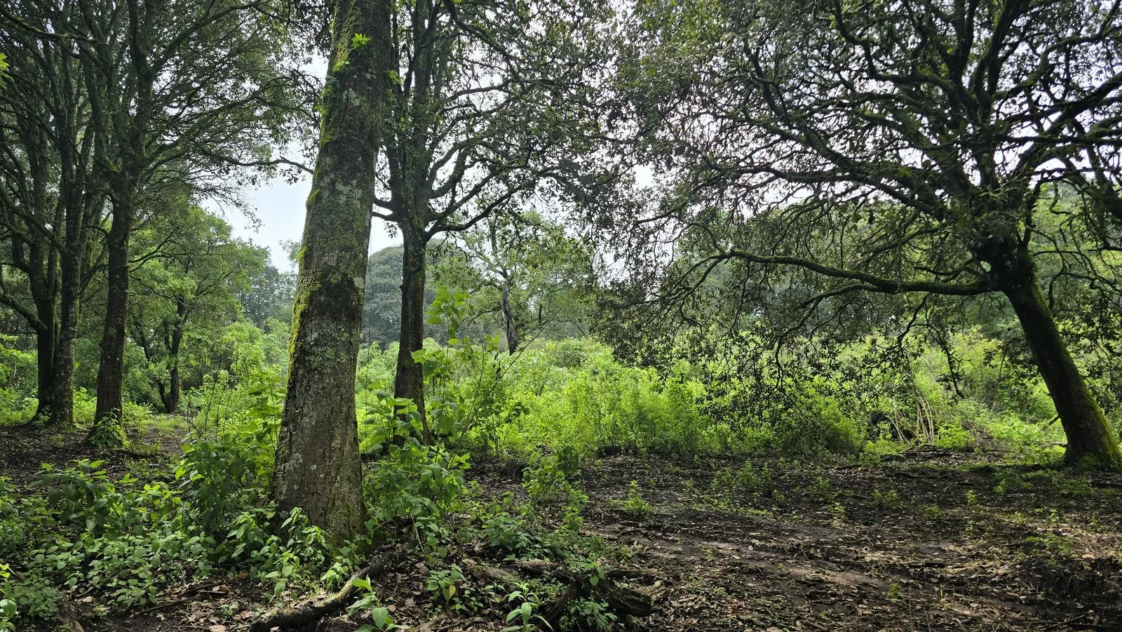
This route can be done comfortably in any season of the year. Only avoid in seasons of extreme heat. It is a more pleasant route if you visit after the rainy season, as there is a lot of vegetation and the lagoon is more pictorial with water.
Warnings

Level
i
Packing List
How to get there
Trailhead Access
From downtown Guadalajara, take the road to Colima. You can take the highway and leave for Techaluta at Glorieta de los Cactus (first intersection after reaching the Sayula Lagoon). You can also take the freeway to Colima; Techaluta is the town before Amacueca. Once in town, you can take Ocampo Street heading up the mountain.
Parking Information
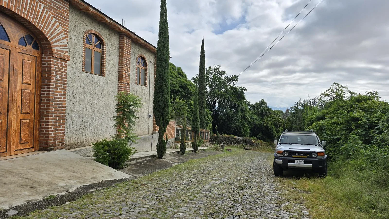
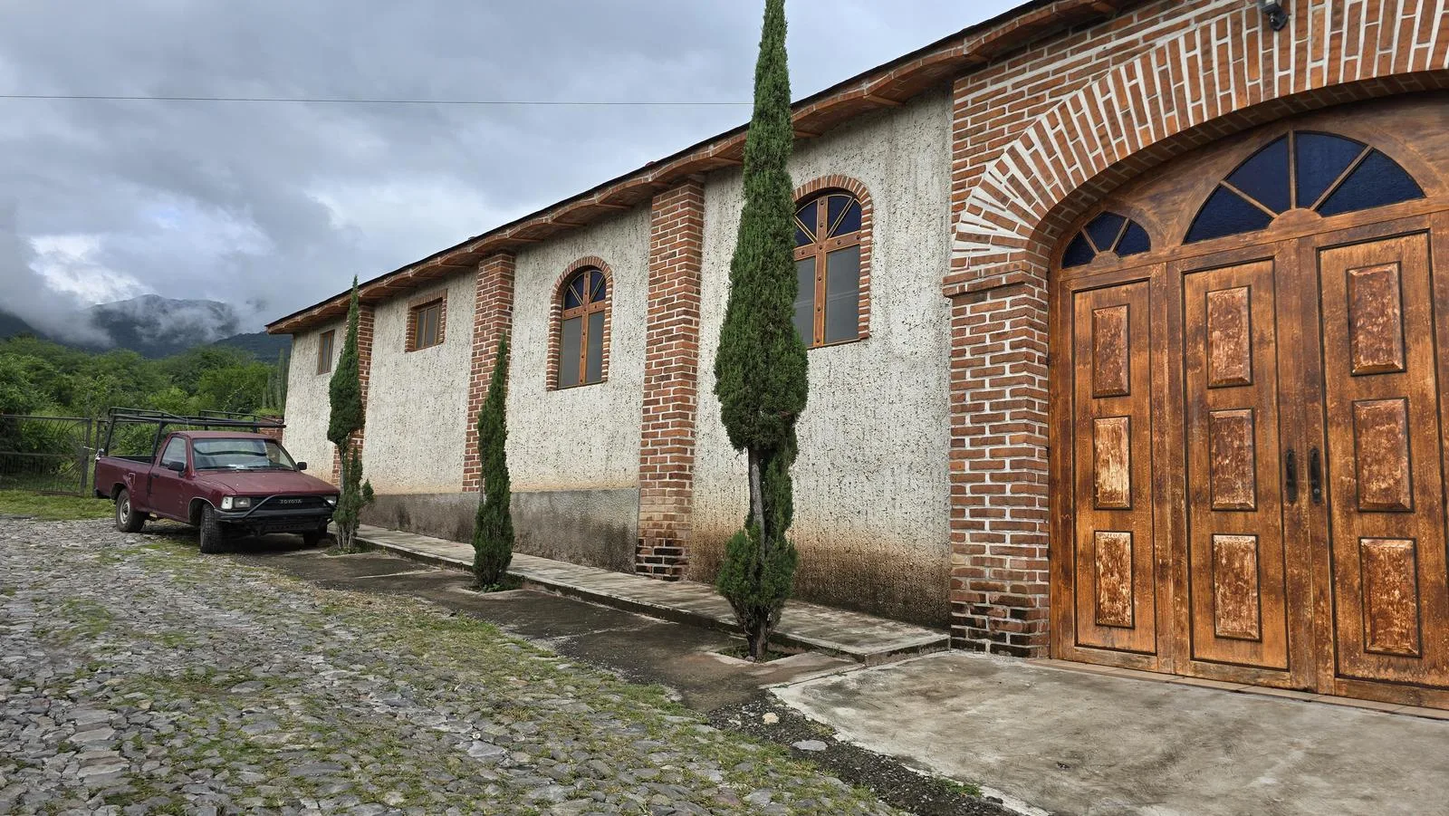
There is no designated parking lot, so we recommend parking in the Chapel of the Virgin of Guadalupe, where Juárez Pte Street ends, without obstructing access or roads.
Fees & Park Hours
October 2025: This route does not involve access costs.
Trail Overview
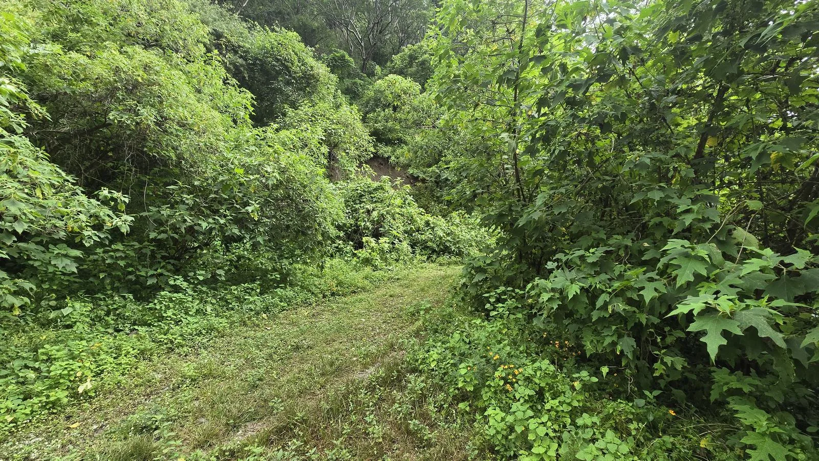
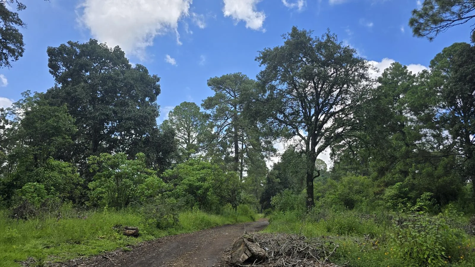
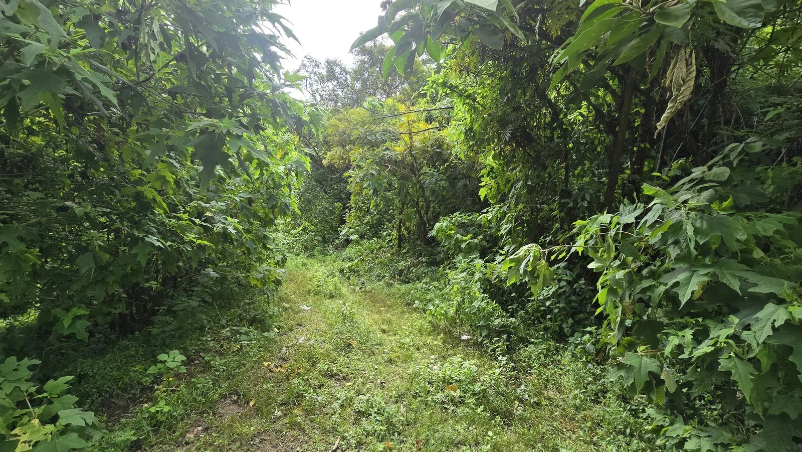
Moderate. It is a moderately traveled route. It has sections where the road is very clear and others where it can be very confusing due to vegetation or route variants. It is important to keep an eye on Wikiloc and look for “traces” or “paths”, especially in sections with a “confusing route” waypoint.
Recommended Gear
- Hiking sticks - Hands free lamp (mining type) - External battery (PowerBank) - First Aid Kit or First Aid Kit - Thermal blanket - Sunscreen - Insect repellent

Elevation Gain
1277 m
Total Distance (Out & back)
18.53 km
Total Time
6 h 14 m
Max Elevation
2704 msnm
Route level 7 (scale from 1 to 10). It offers us almost 1,300 m of cumulative positive elevation gain; it is a very demanding route, suitable for experienced hikers with very good condition. It has very sloping sections, so it can be very demanding.