
La Cristina - Sierra de San Juan Cosalá
La Cristina - Sierra de San Juan Cosalá
Sierra de San Juan Cosalá, Jocotepec
727 m
8.13 km
3 h 1 m
2224 msnm
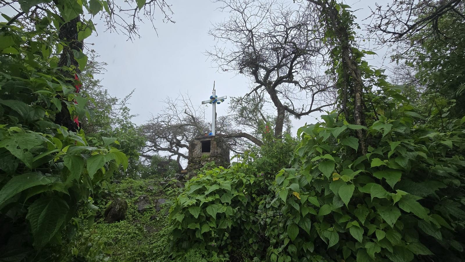
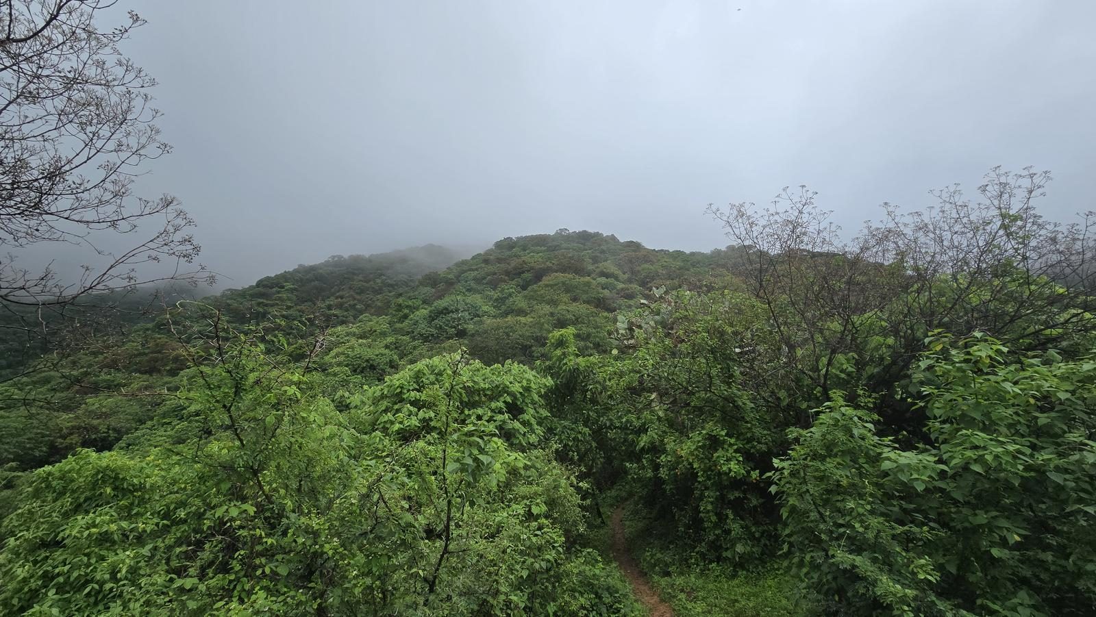
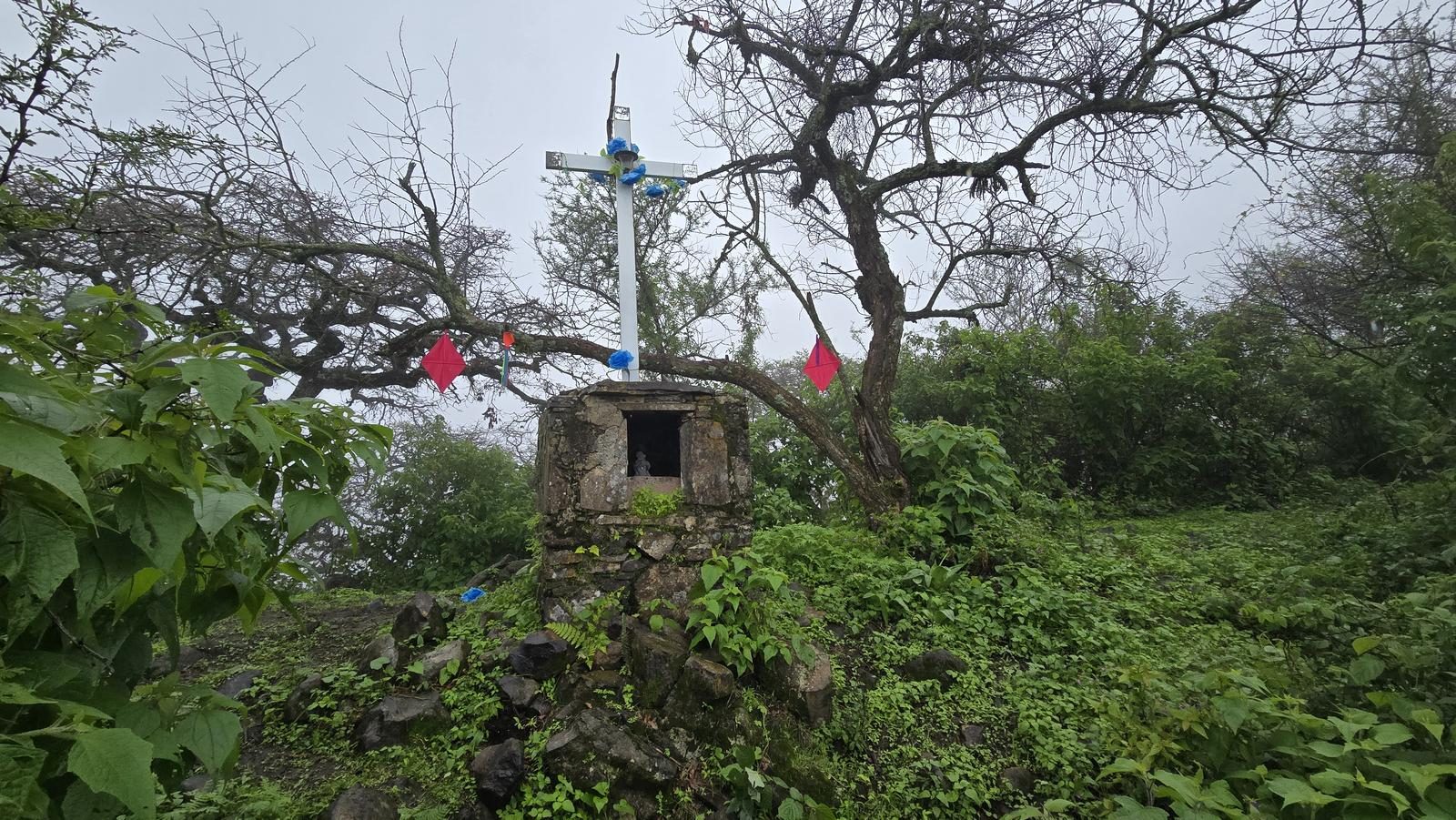
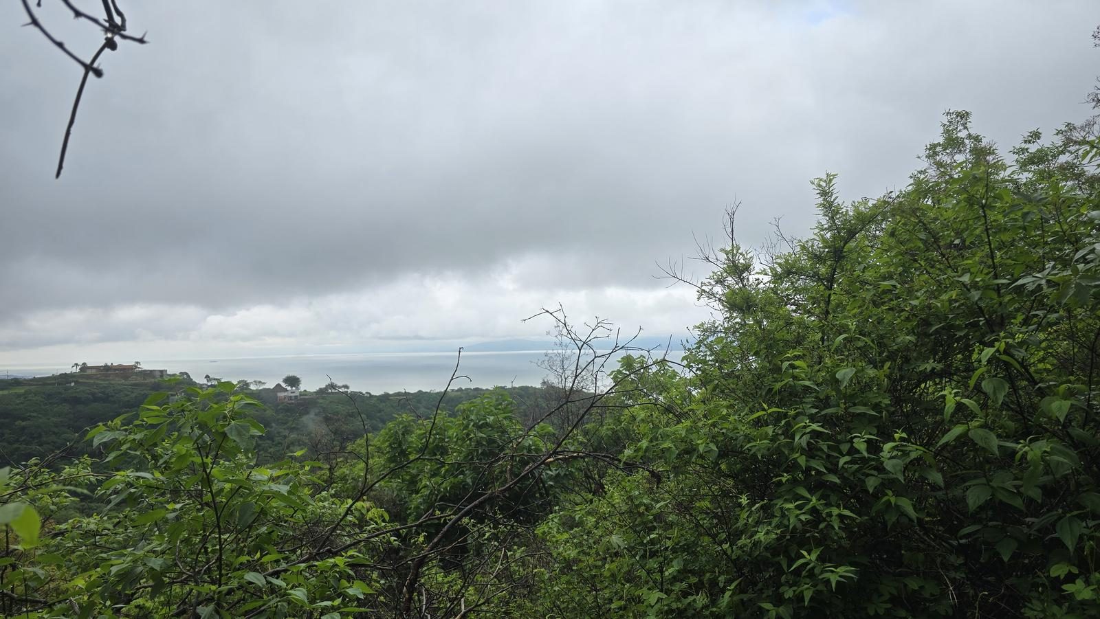
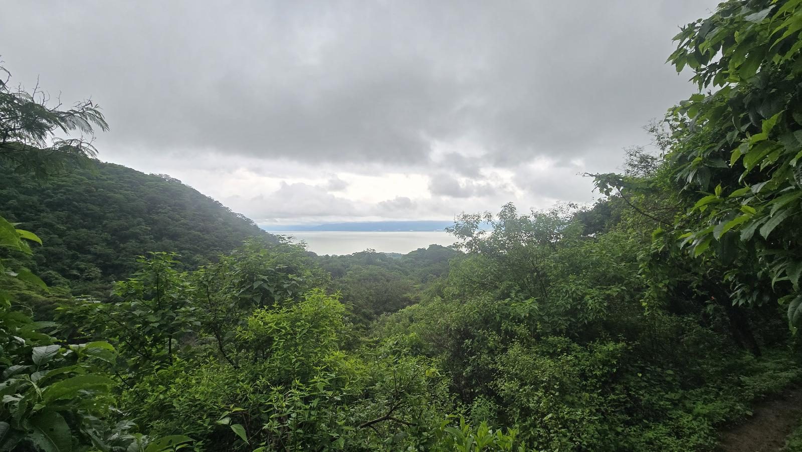
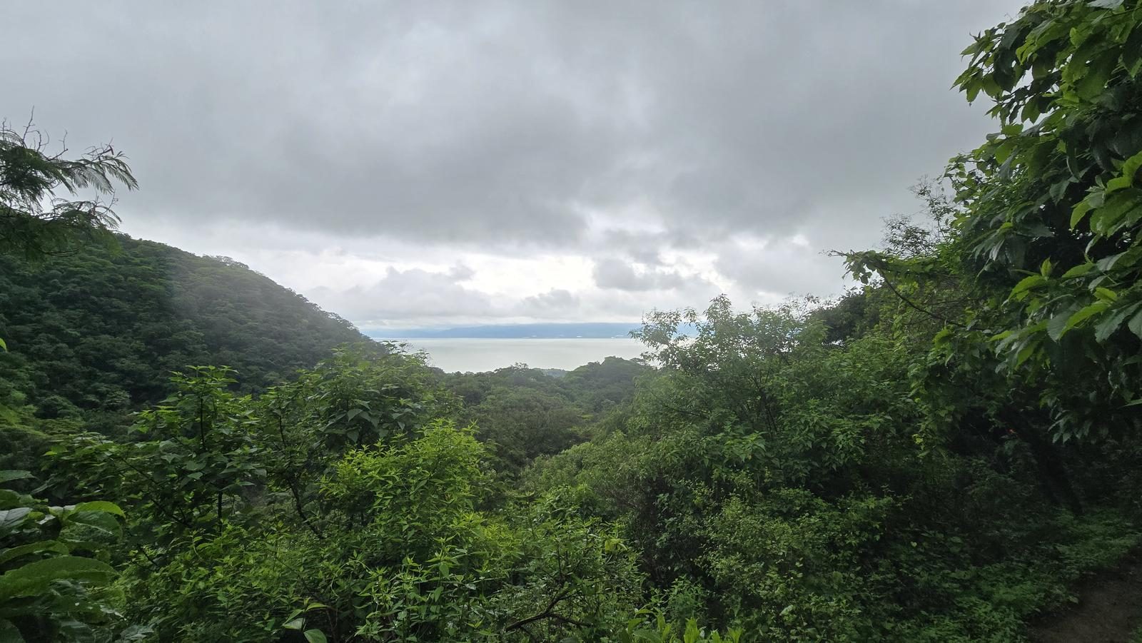
La Cristina packs 727 m of gain into 8 km and pays it back with Lake Chapala below. There are few markings — the path can be read, but not guessed.
📢 Alerts & Updates
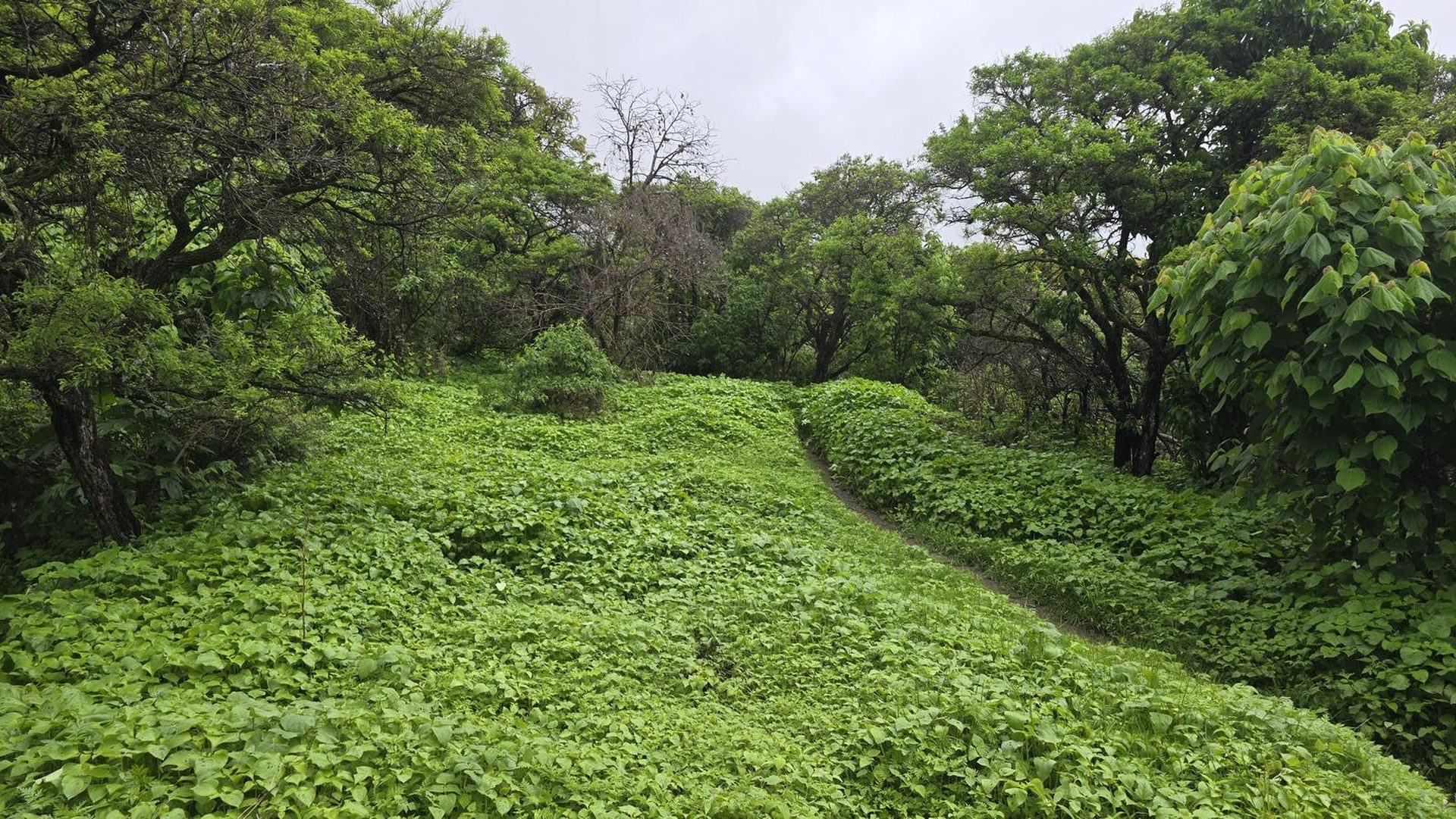
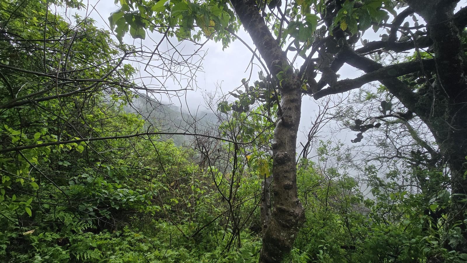
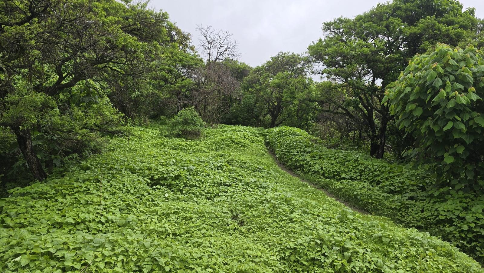
Like most routes in Jalisco, it is recommended to avoid this route during the summer season because sun exposure is very high. After the rainy season, this route offers us very pleasant green landscapes. Despite this, it can be done in any season of the year.
Level
i
Packing List
How to get there
Trailhead Access
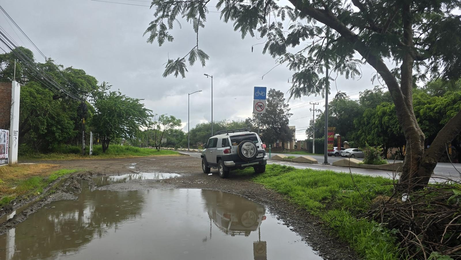
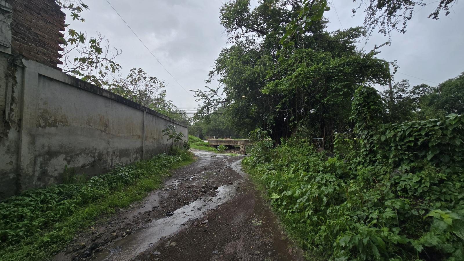
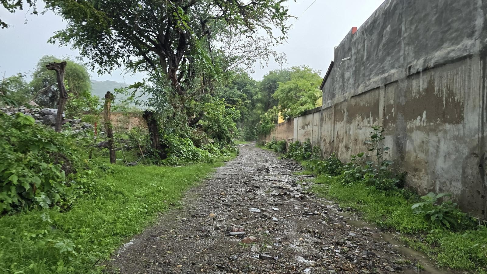
Leaving from Guadalajara, take the road to Chapala. After Ixtlahuacán, but before reaching the lake, we turn at a junction that leads to Ajijic (Jocotepec-Chapala Highway). About 5.5 km later, we will arrive at the main boulevard of Ajijic (the bypass bumps into some shopping malls), where we will turn right. We will continue along the Blv until shortly before reaching “El Bajío”, approximately 6.1 km later. In Google Maps we can locate the start of the trail by searching for “La Cristina Trail”.
Parking Information
There is no parking as such, so we park at the beginning of the route, trying not to obstruct roads or accesses. If you come in several vehicles, in front of the start of the sidewalk there are stalls where we can park for voluntary cooperation.
Fees & Park Hours
April 2026: This route does not involve access costs.
Trail Overview
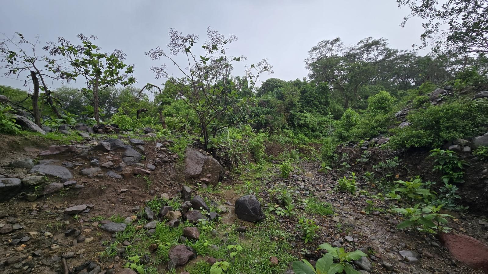
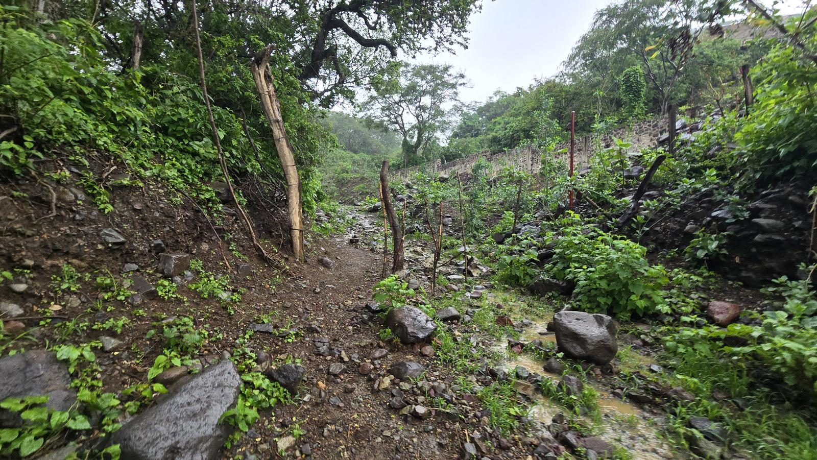
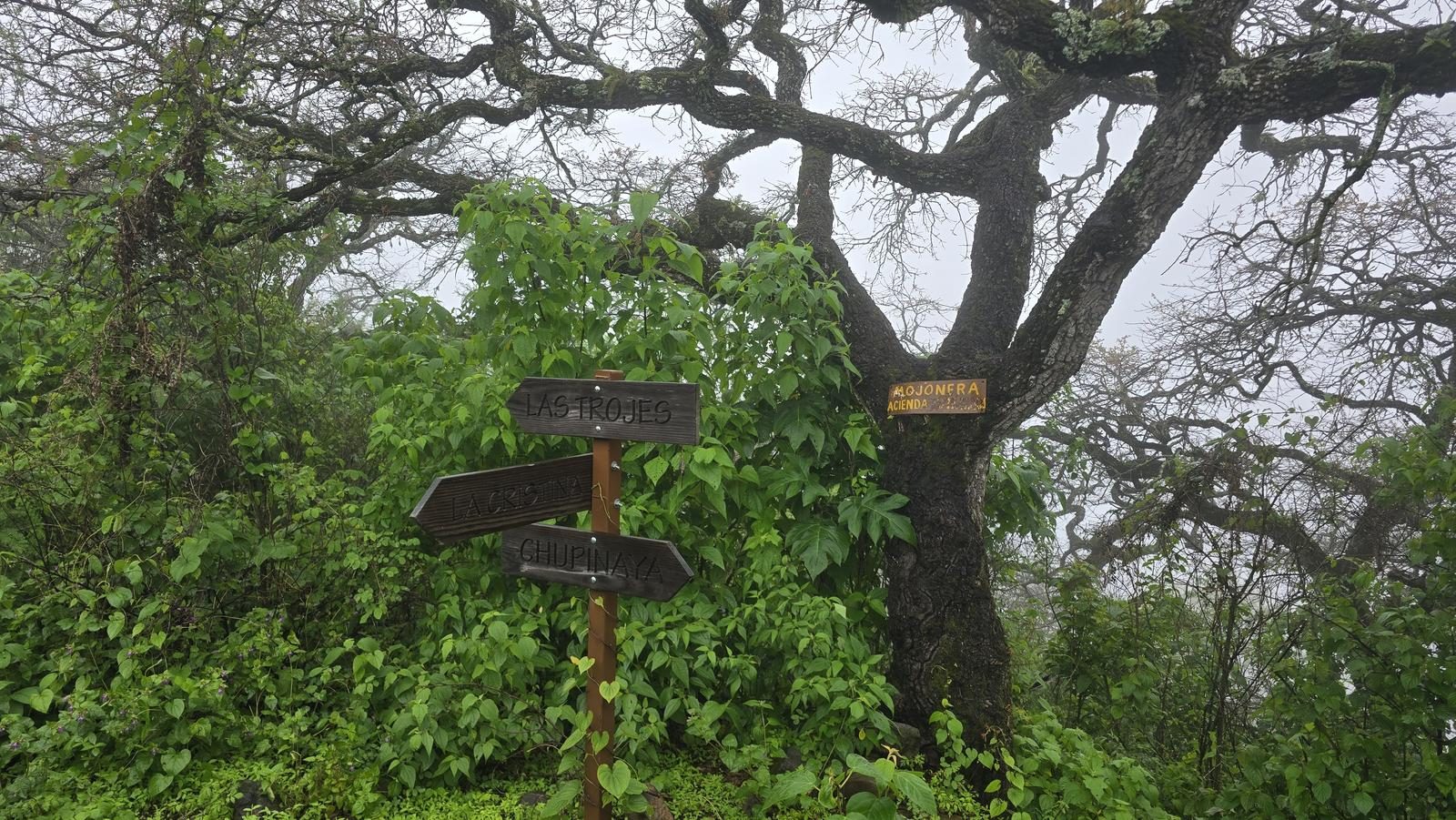
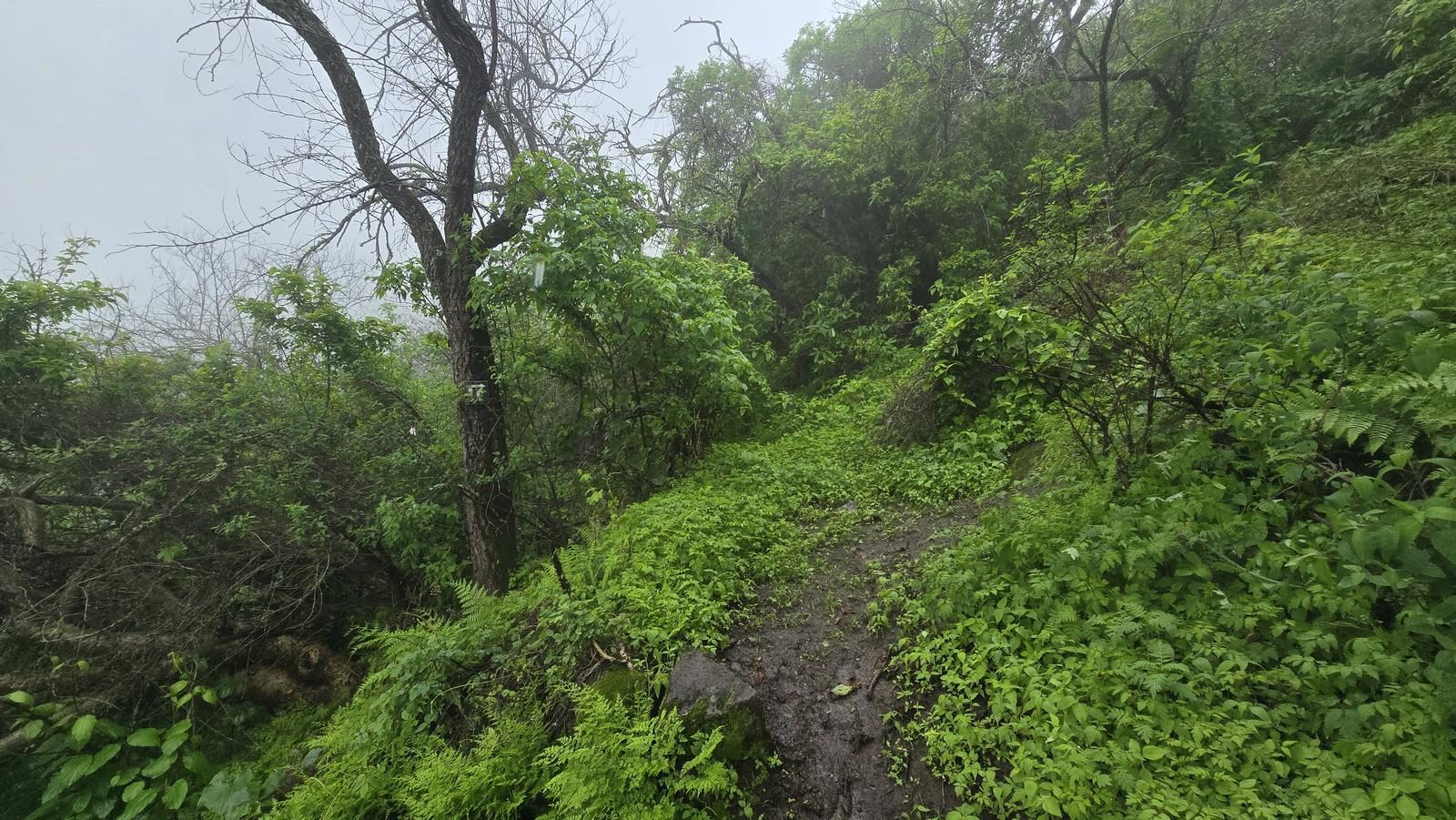
The path to follow is very clear, despite not having many brands. There are a few variants of the path, but they eventually reconnect. It is important to keep an eye on the GPS to make sure we are following the path.
Recommended Gear
- Hiking sticks - Hands free lamp (mining type) - External battery (PowerBank) - Sunscreen - First Aid Kit or First Aid Kit - Insect repellent
Elevation Gain
727 m
Total Distance (Out & back)
8.13 km
Total Time
3 h 1 m
Max Elevation
2224 msnm
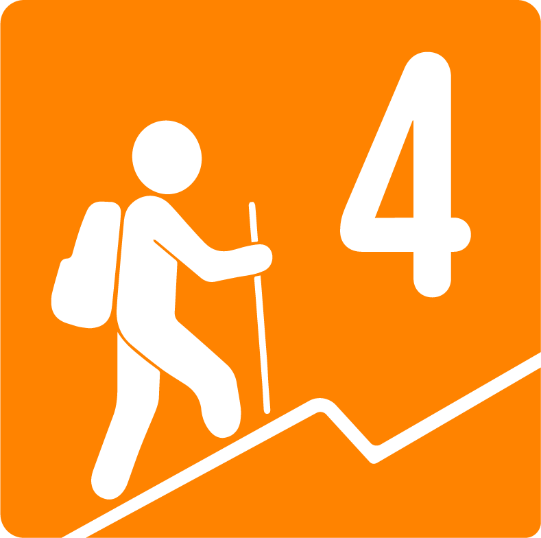
Level 4. It offers us around 700 m of positive elevation gain. Level 4 has a cumulative slope between 600 and 800 meters, so it is similar to the Huentitán Barranca (a little more difficult and 100% by nature trail, unlike the ravine).