
Los Azules - Tequila, JAL
Área de Protección de Flora y Fauna Volcán de Tequila
- Elevation gain
- 1001 ft
- Distance
- 2.5 mi
- Time
- 1 h 23 m
- Altitude
- 3885 ft
Four kilometres through agave fields to cold-water falls that have been Tequila's hot-season escape for four decades.
📢 Alerts & Updates
This route can be done comfortably in any season of the year. It is an excellent option in the hot season, as the water is usually very cold. Avoid during the rainy season, as the water is usually very messy (chocolatey).
Warnings
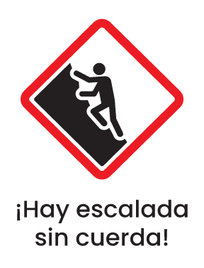

Level
i
Packing List
How to get there
Trailhead Access
Departing from the city of Guadalajara, take the road to Vallarta. You have the option of paying for a booth (apx $50 pesos) and taking the highway to Tequila or taking the freeway. Arriving at the Magic Town of Tequila (Glorieta del Jimador, for reference), continue along the road to Tepic for about 500 m and turn onto “Manuel Castañeda” street. There's an Oxxo in the corner. Continue to Marcos Gonzalez Street (second street on the right) and turn left 1 block later. That street continues to the parking area. Consider that you will be walking through some dirt in good condition.
Parking Information
At the beginning of the sidewalk there is a parking area with designated drawers. It is not private property, so it is recommended not to leave valuable items in cars.
Fees & Park Hours
On weekends during the hot season, renters may be watching the cars and they charge a fee of $50 pesos for parking.
Trail Overview
Although there are no signs, the route is clear and intuitive. The sidewalk is very busy.
Recommended Gear
- Hiking sticks - Sunscreen - First Aid Kit or First Aid Kit - Insect repellent - Thermal blanket Avoid foods with strong odors that may attract local wildlife. Consider carrying a bag to carry all your waste, peels and wrappers, as well as trash you find along the way.
What to Expect on the Trail
i
Elevation Gain
305 m
Total Distance (Out & back)
4 km
Total Time
1 h 23 m
Max Elevation
1184 m a.s.l.
Route level 2. Despite being a short route (2 km downhill and 2 km climbing), it has very steep, slippery and unstable slopes; factors that require good physical condition and mobility. Because it is located in a ravine, it is first lowered and then climbed: the descent will not be very demanding, but it must be taken into account that Everything we download, we'll have to raise it on the way back .