
Piedras Bola - Ahualulco del Mercado, JAL
Piedras Bola - Ahualulco del Mercado, JAL
Jalisco, Ahualulco del Mercado
567 m
13.86 km
4 h 1 m
2012 msnm
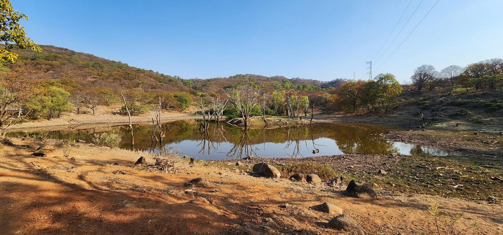
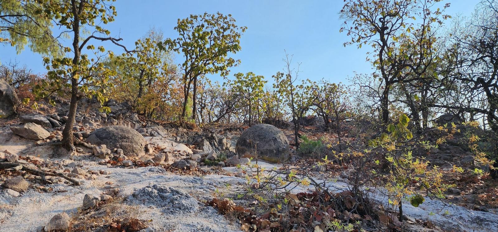
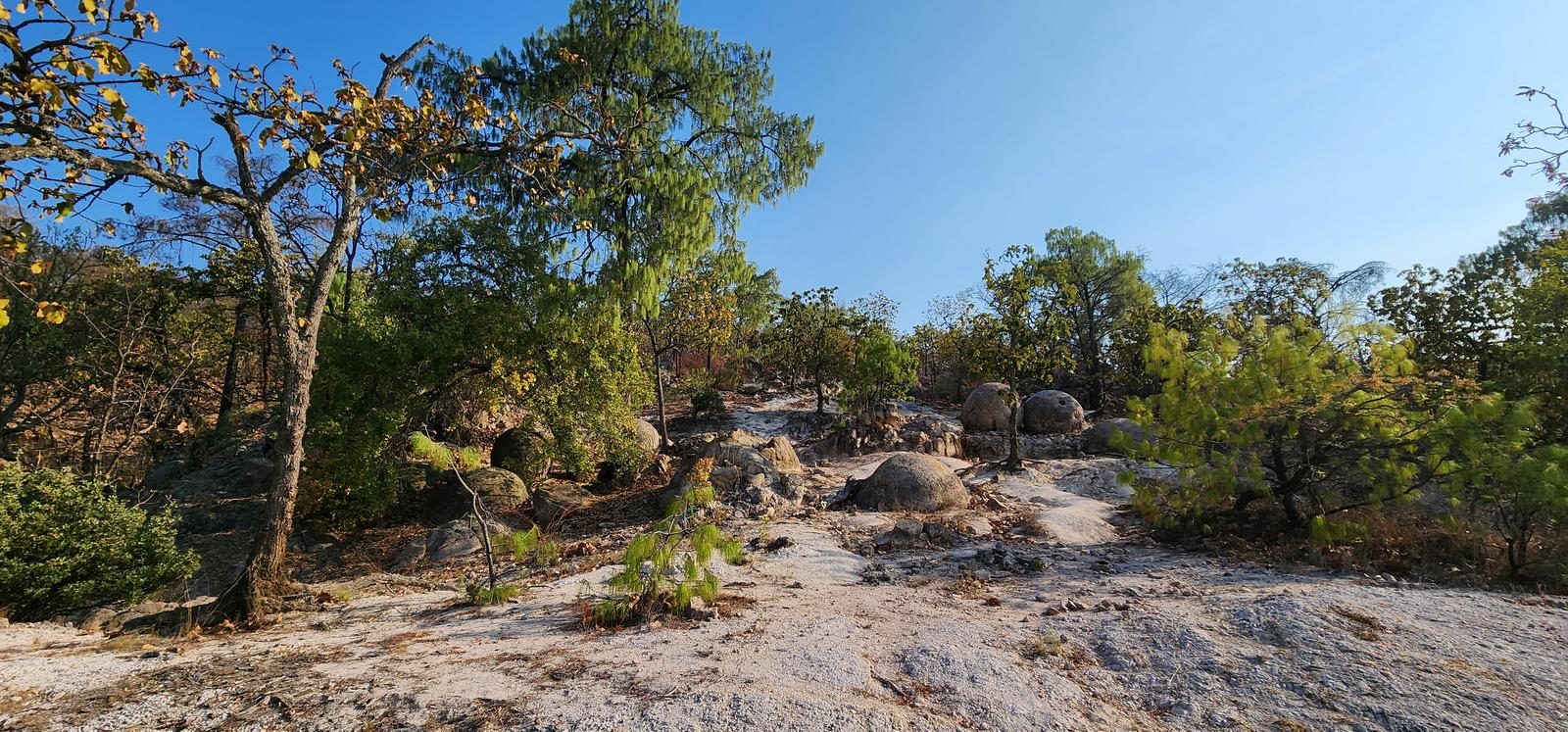
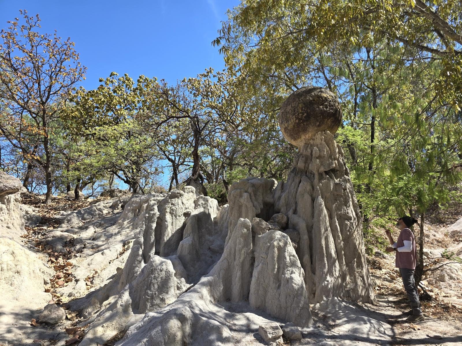
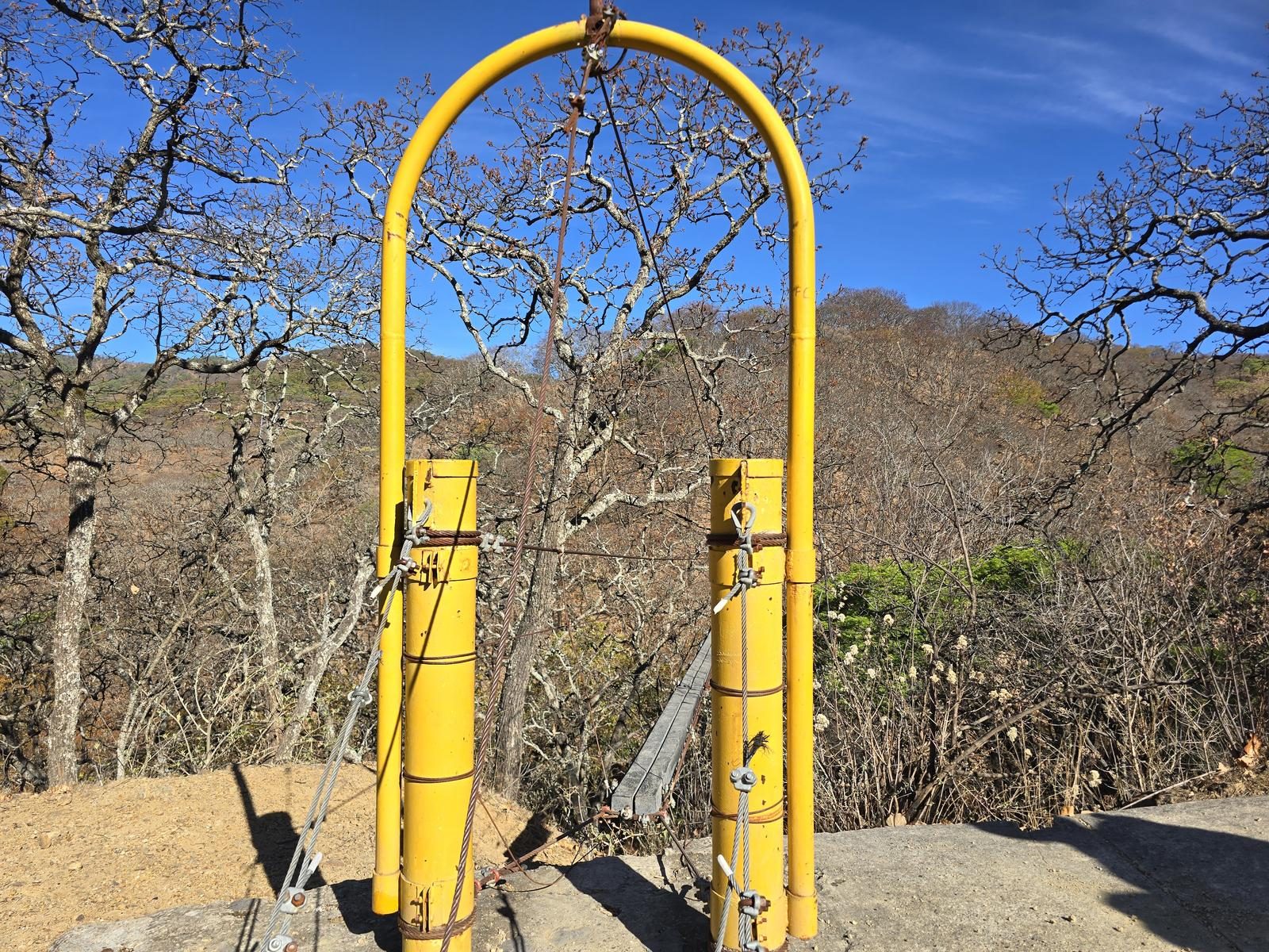
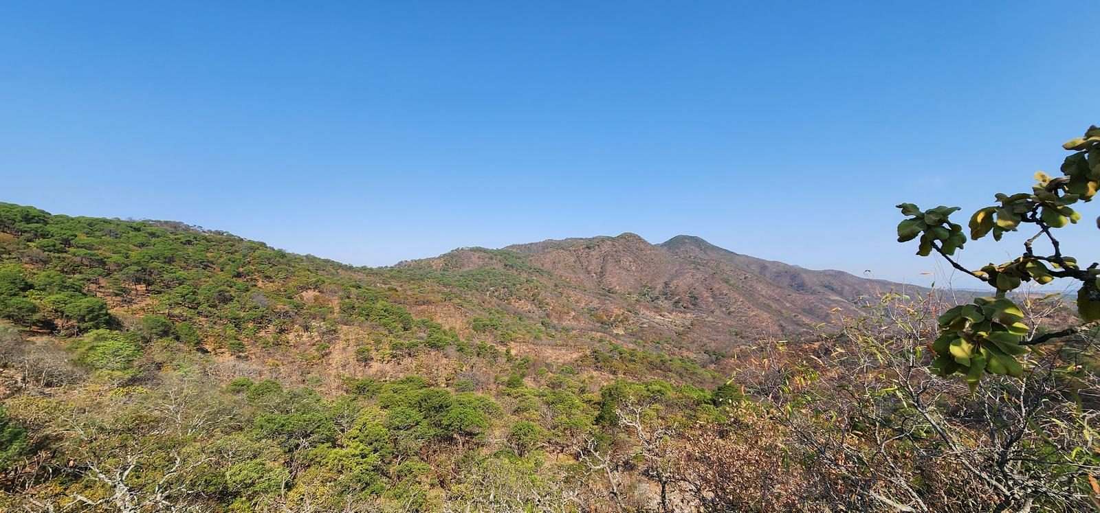
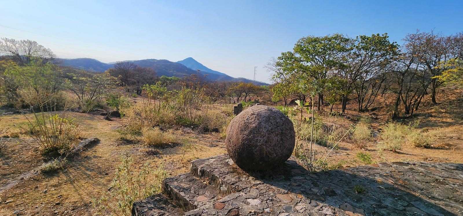
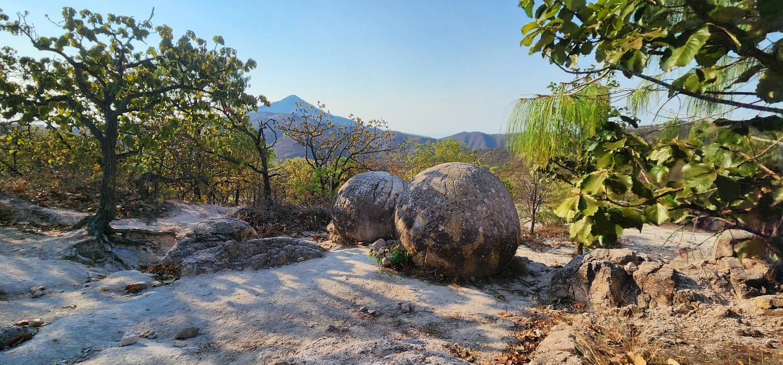
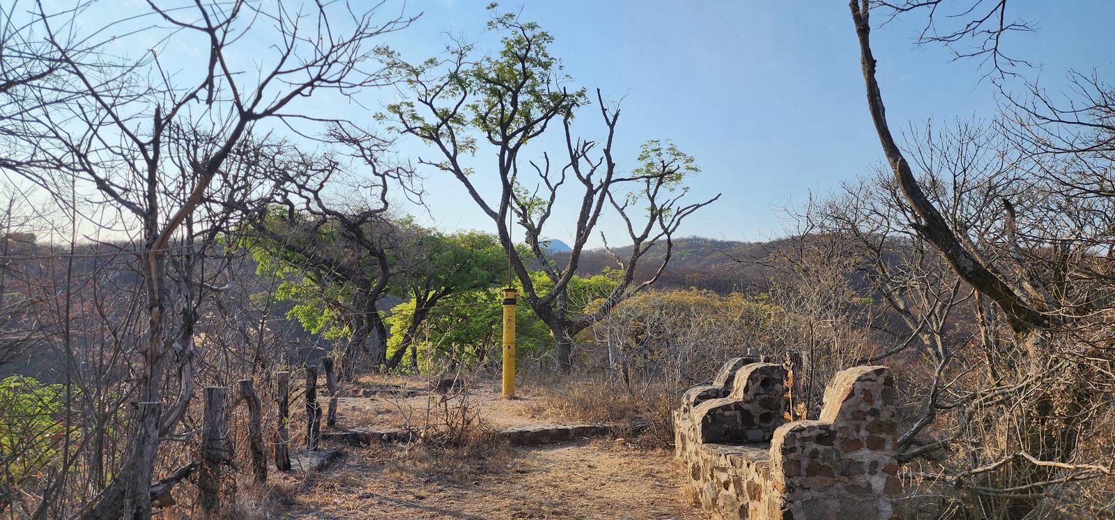
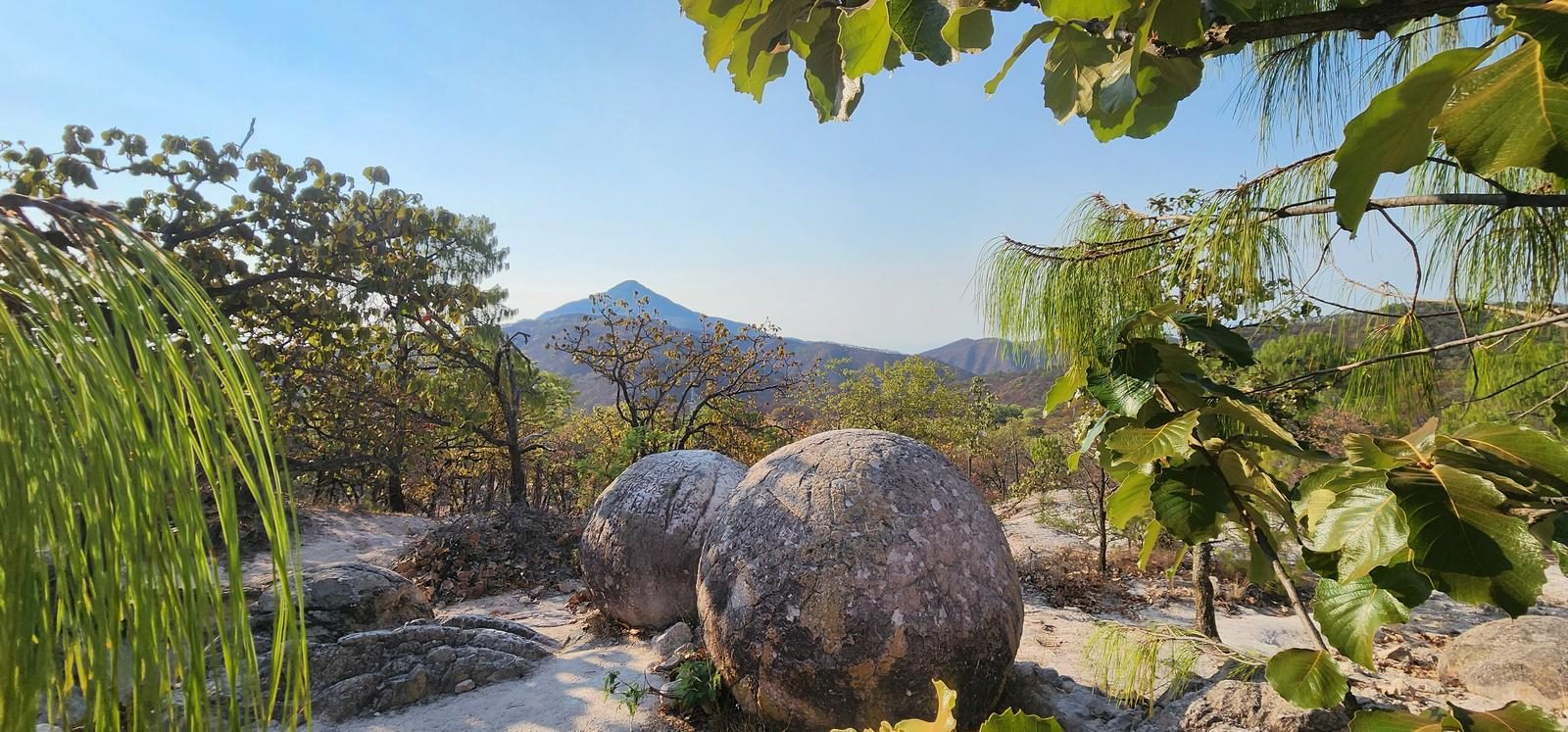
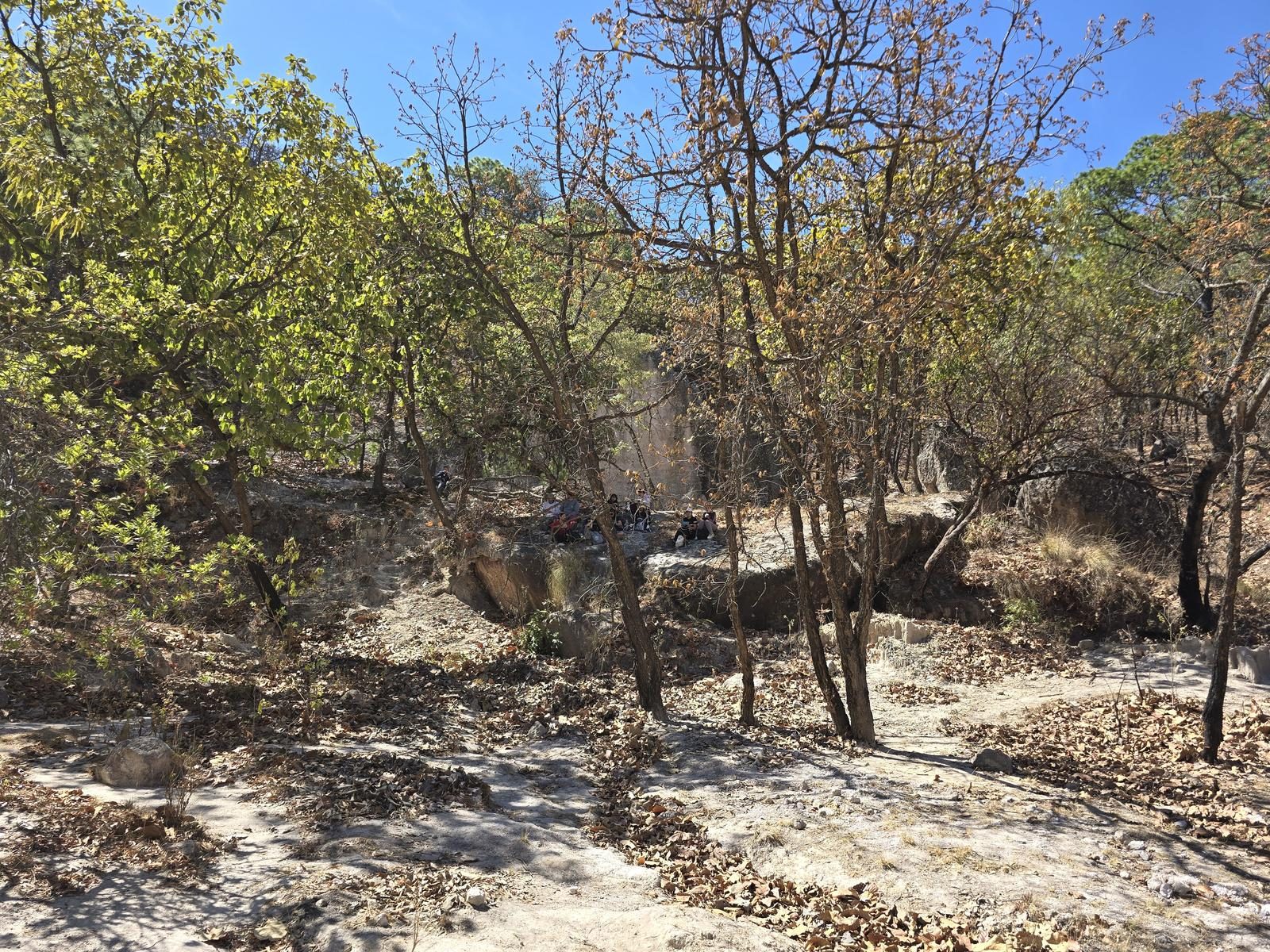
Giant stone spheres — megaspherulites — out in the Sierra del Águila. The zipline and bridges have sat unused for 12 years, so look but don't climb.
📢 Alerts & Updates
This route can be done comfortably in any season of the year, but it is preferable in the rainy season or winter, as in summer the heat can be very exhausting.
Level
i
Packing List
How to get there
Trailhead Access
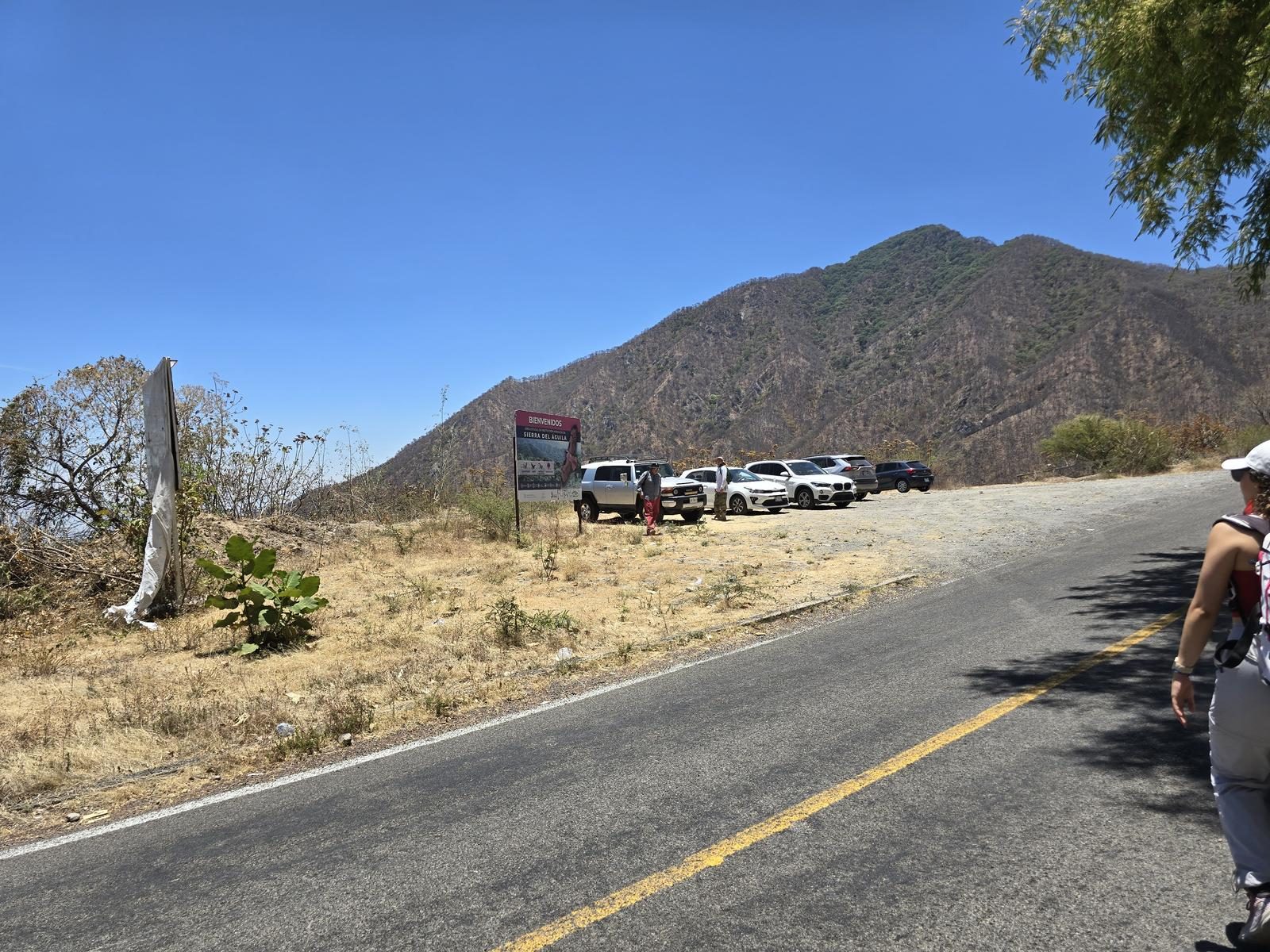
The beginning of the village is located at kilometer 14 of the road that goes from Ahualulco to Ameca. To get to Ahualulco, we will leave the city on the free road to Tepic and then we will detour to Tala. Shortly after passing under the Macrolibration, we will turn right towards Teuchitlán. Ahualulco is a few kilometers ahead. To guide us with Google Maps, we can search for “Start of the Piedras Bola Trail”; if instead we search only for “Piedras Bola”, it will give us some wrong directions.
Parking Information
There is a designated parking area at a viewpoint on the side of the road, just in front of the start of the trail. It is not an area that is guarded, so leaving valuables in cars is not recommended.
Fees & Park Hours
As of January 15, 2025, this route does not involve access costs.
Trail Overview
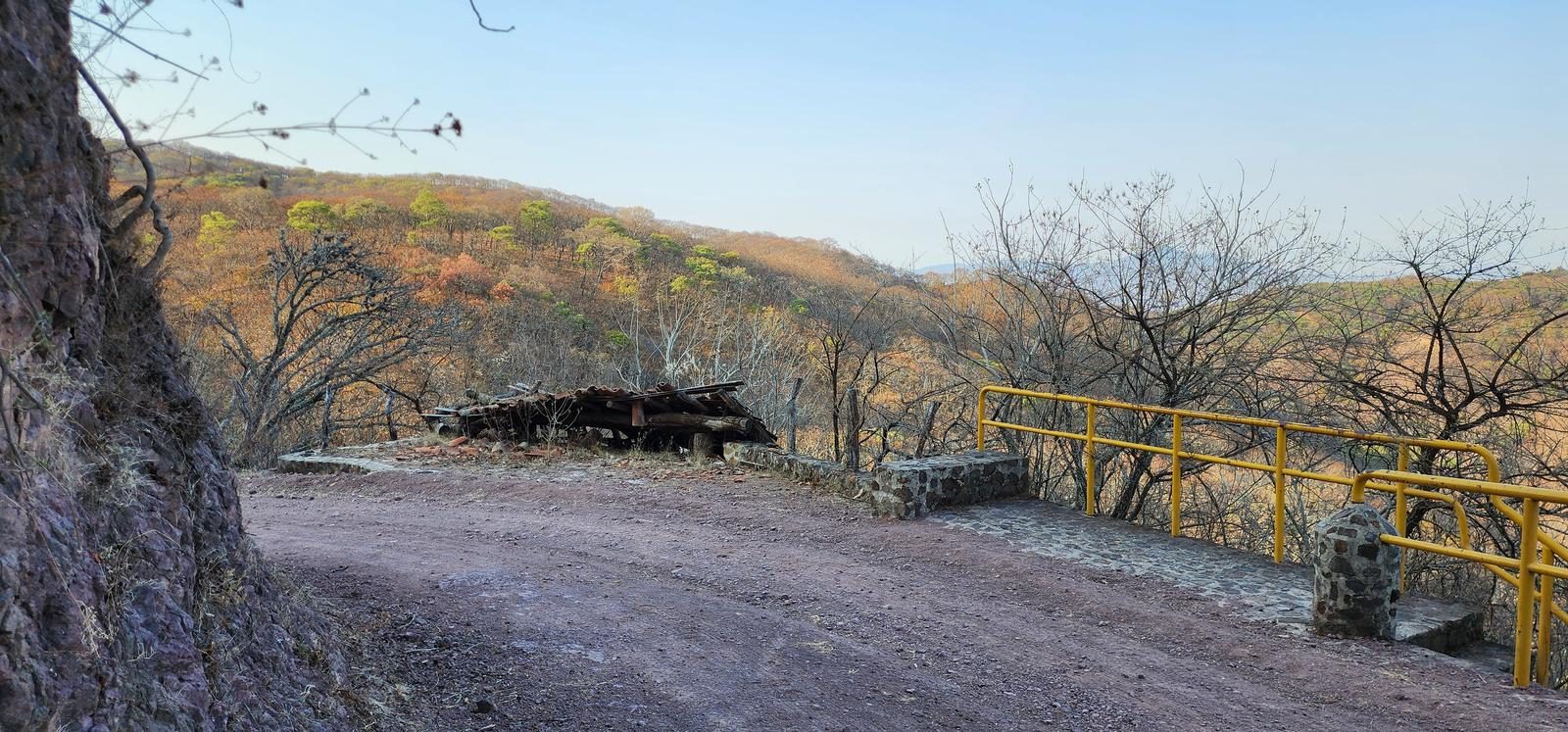
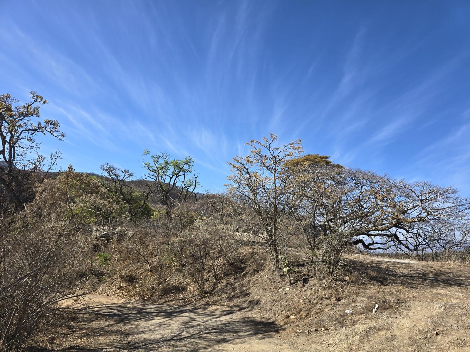
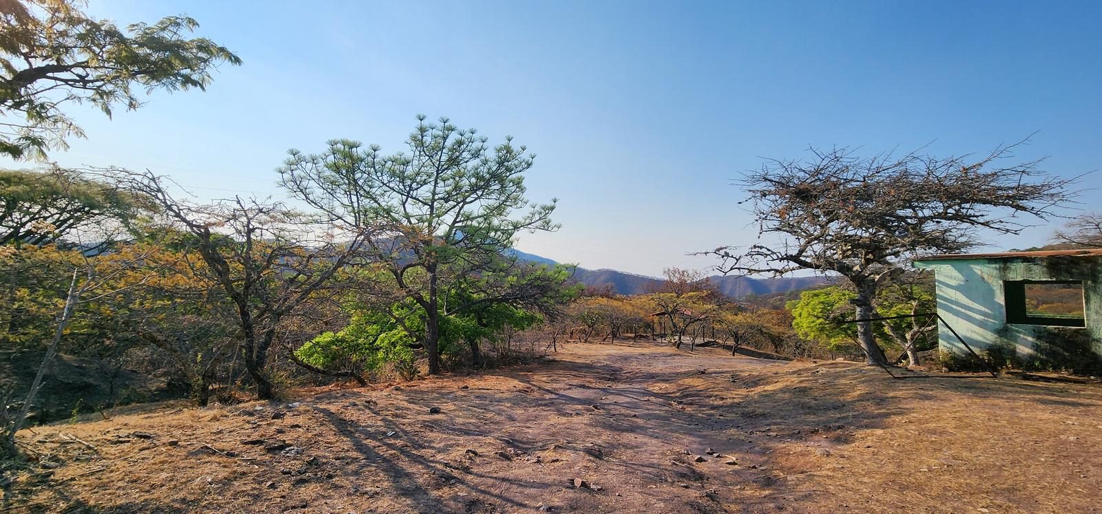
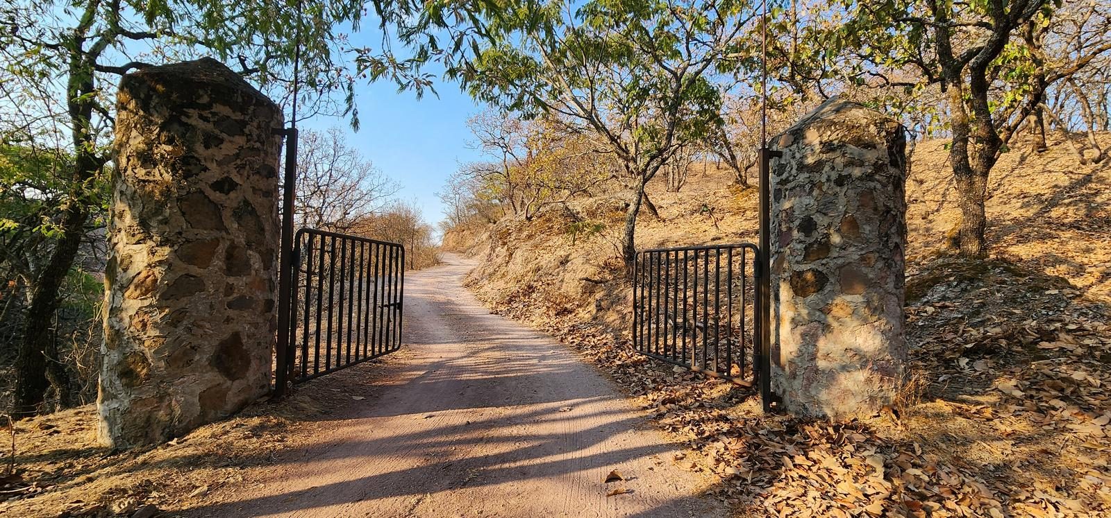
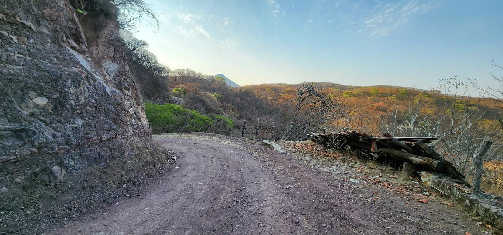
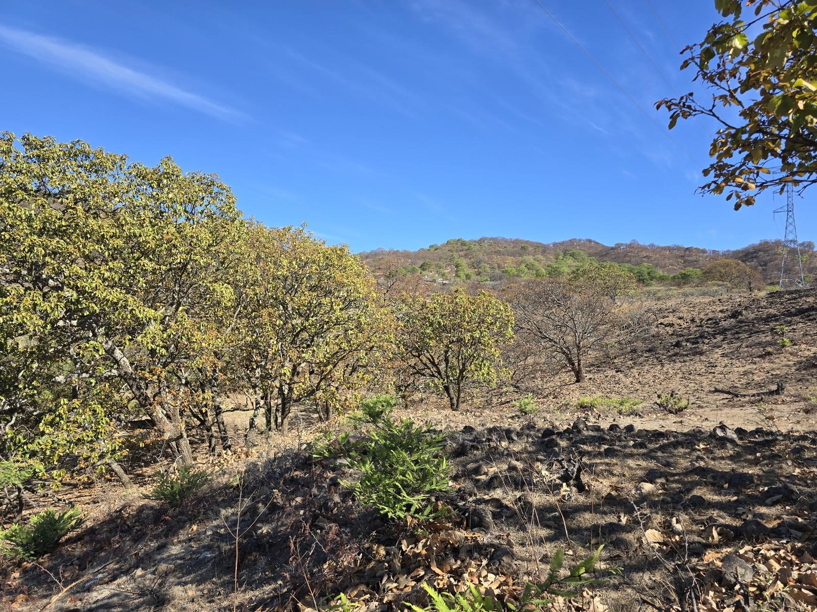
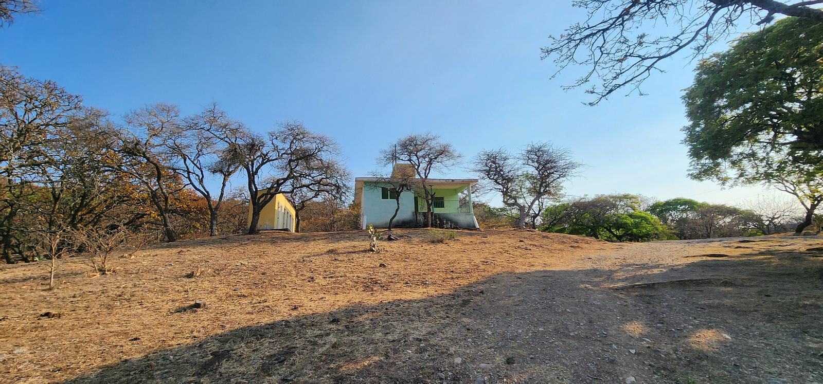
The route can be classified into two parts, the first is an all-terrain vehicle trail, which is very clear. Eventually you arrive at what was once a visitor service center (Wp. Picnic). From that point on, the trail has some variants of path, so we'll have to pay attention to Wikiloc and the more marked trails. Unfortunately, the signage that the park once had is already very deteriorated.
Recommended Gear
- Hiking sticks - Hands free lamp (mining type) - External battery (PowerBank) - Sunscreen - First Aid Kit or First Aid Kit - Thermal blanket - Insect repellent
Elevation Gain
567 m
Total Distance (Out & back)
13.86 km
Total Time
4 h 1 m
Max Elevation
2012 msnm
This route is classified as level 3, since it offers us just under 600 m of unevenness, which are distributed over almost 14 km round trip. It is a route suitable for beginners with good physical condition, although the difference in altitude accumulates very progressively, both on the way out and on the way back.