
Ruta del Peregrino - Lagunillas - Talpa de Allende, JAL
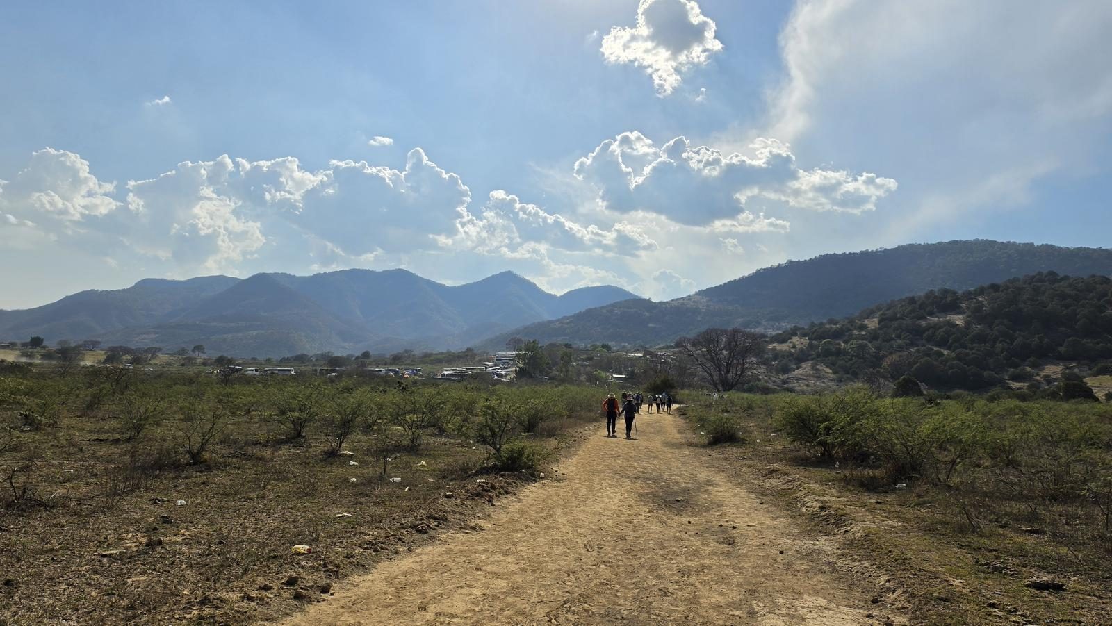
Ruta del Peregrino - Lagunillas - Talpa de Allende, JAL
Jalisco, Talpa de Allende
2174 m
90.8 km
23 h 48 m
2012 msnm
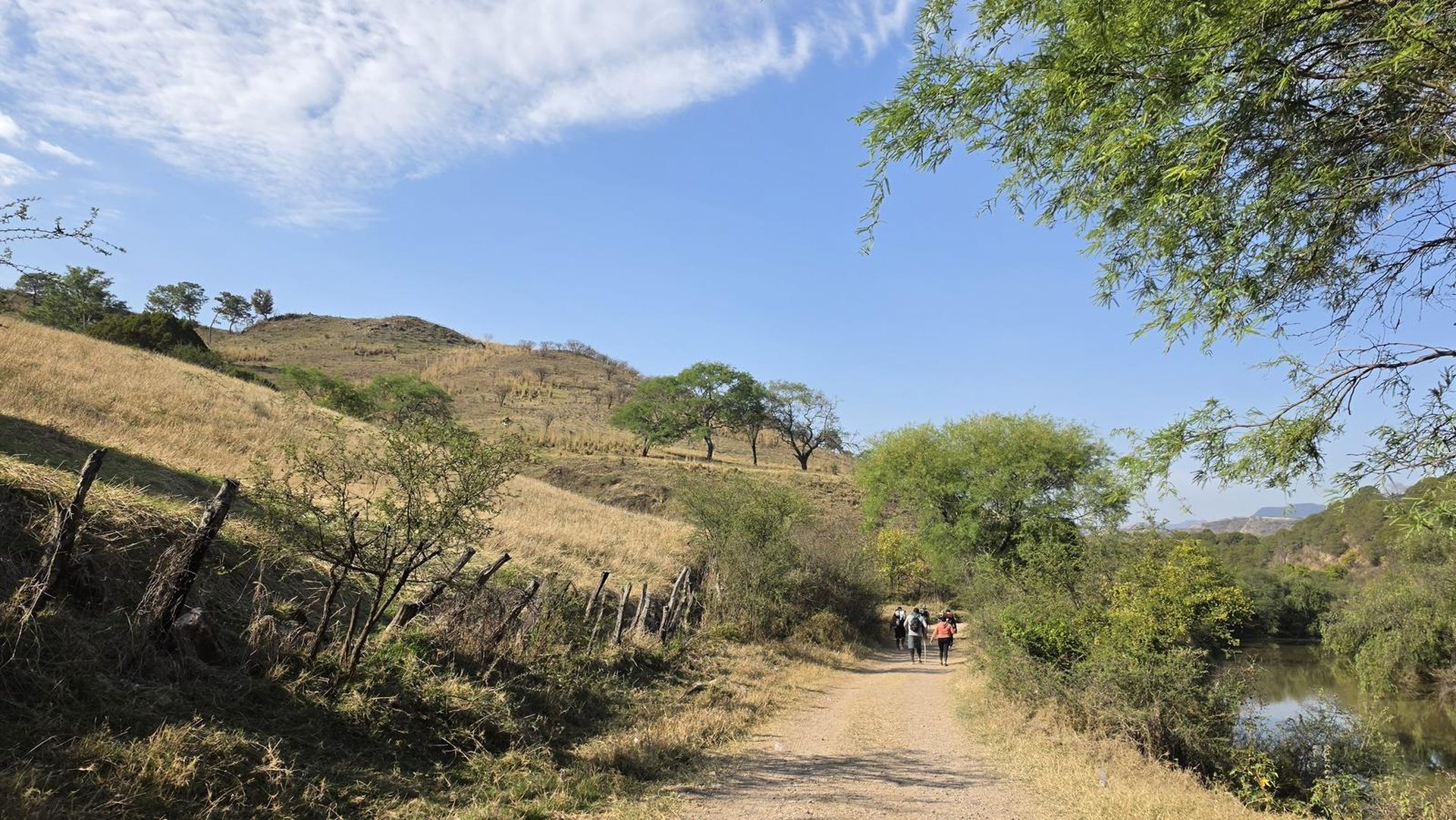
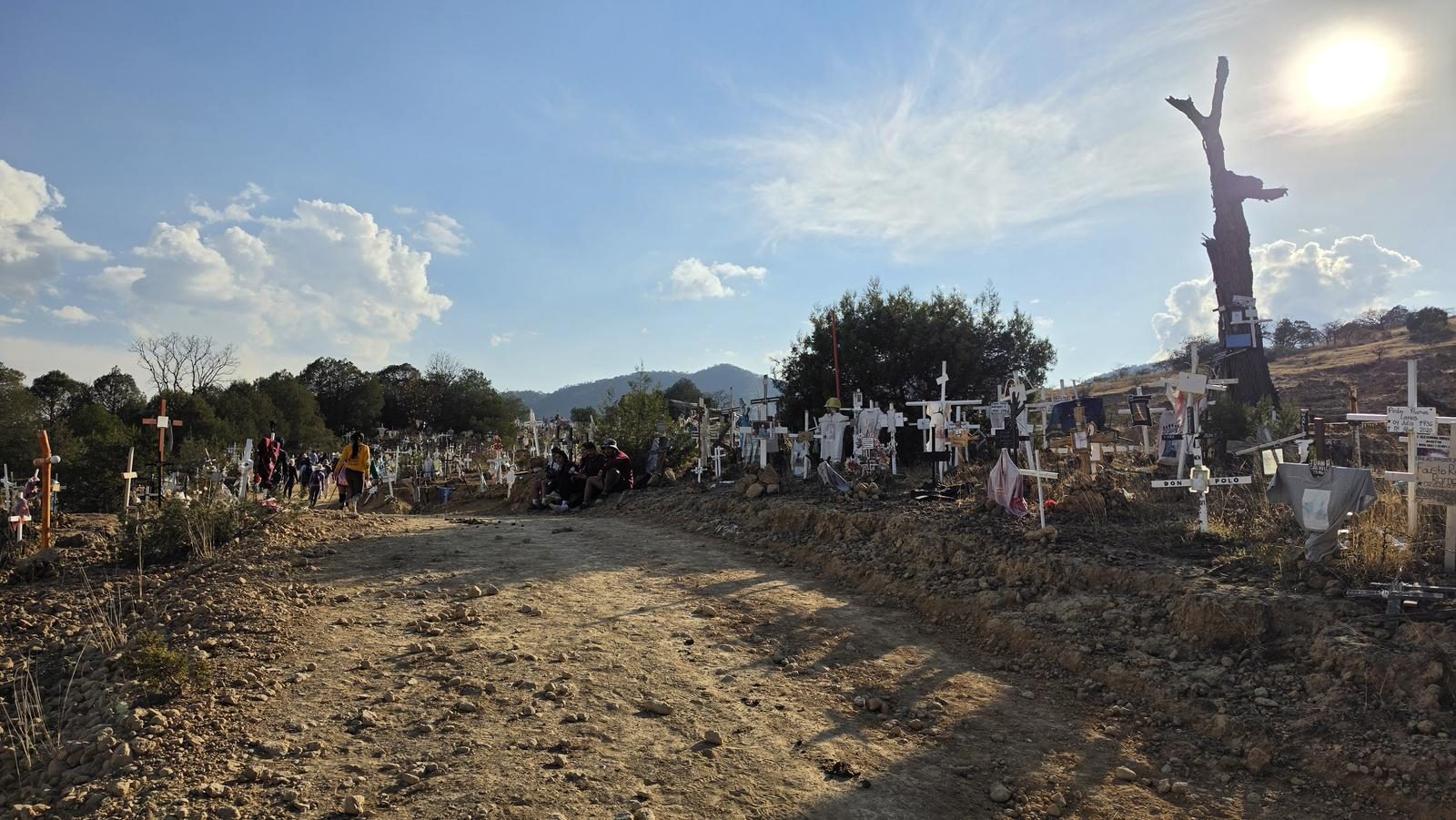
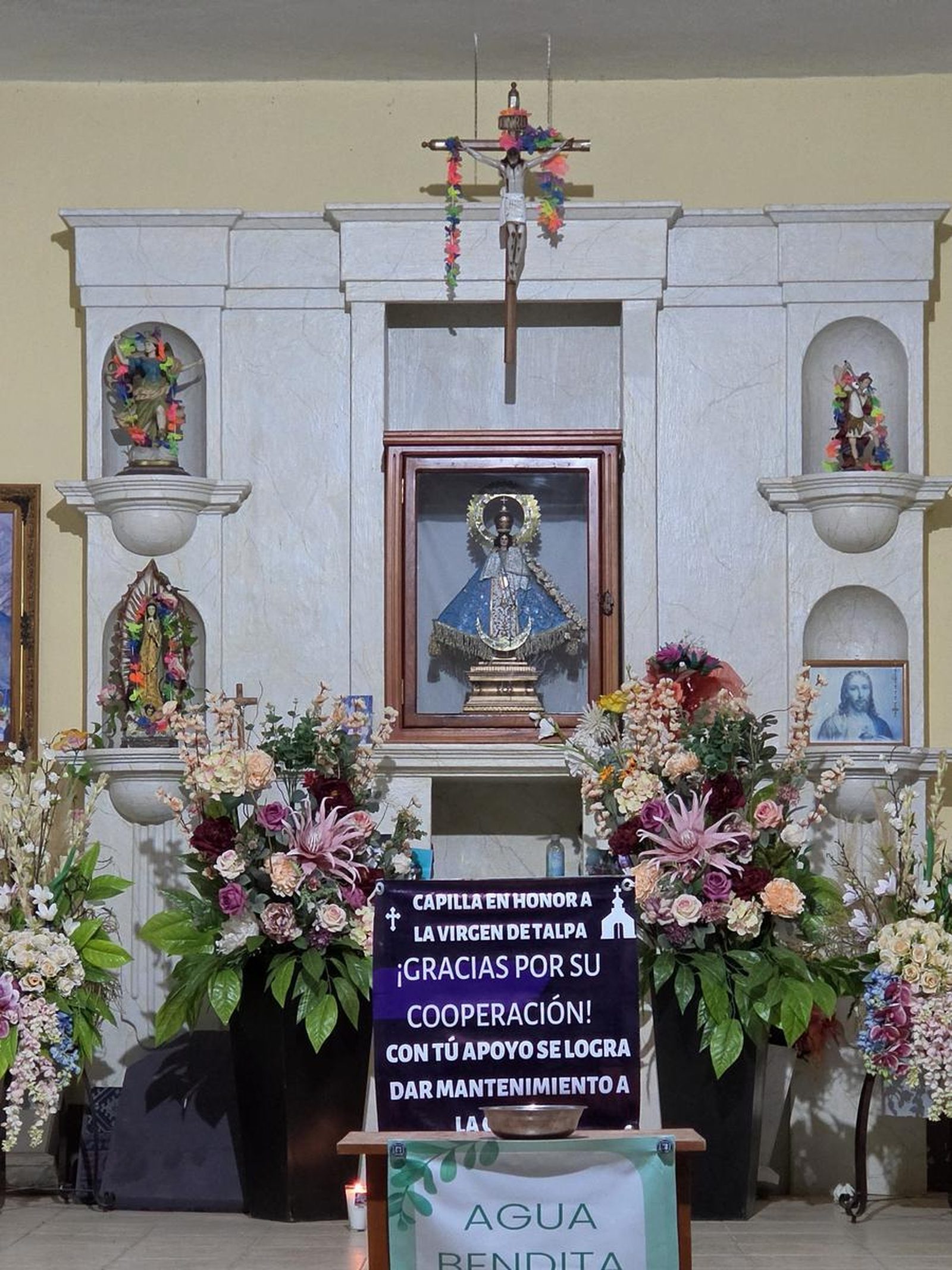
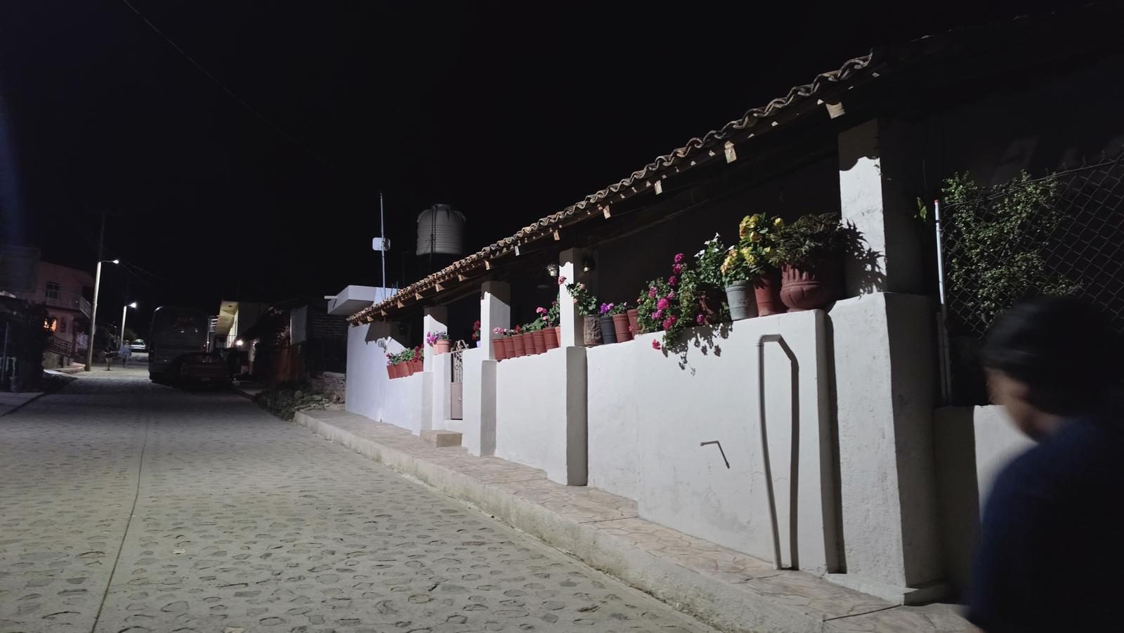
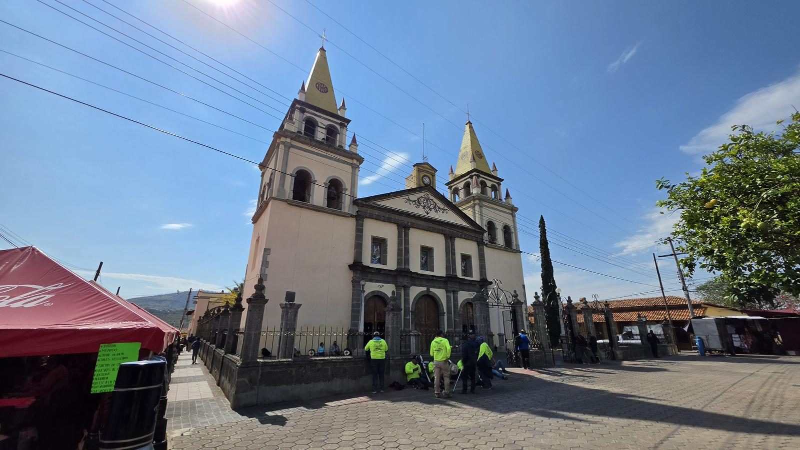
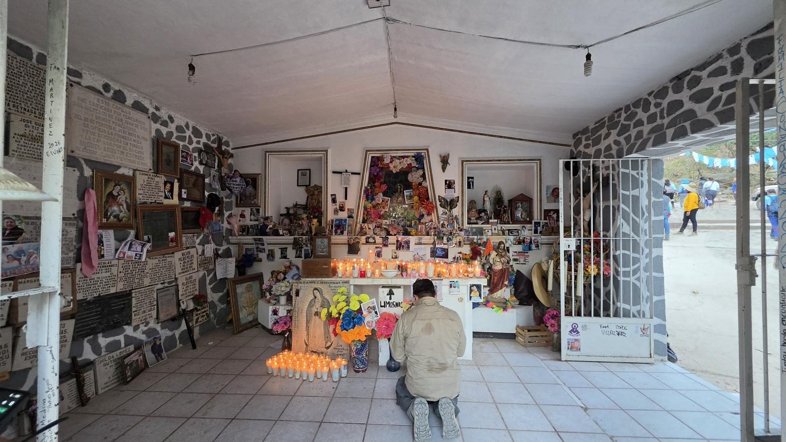
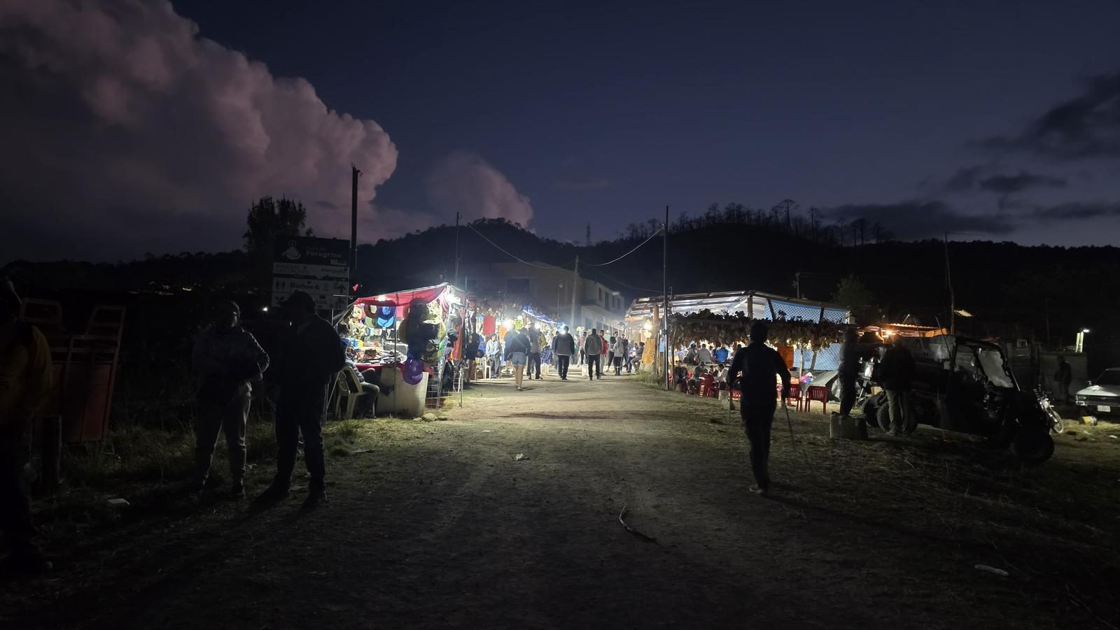
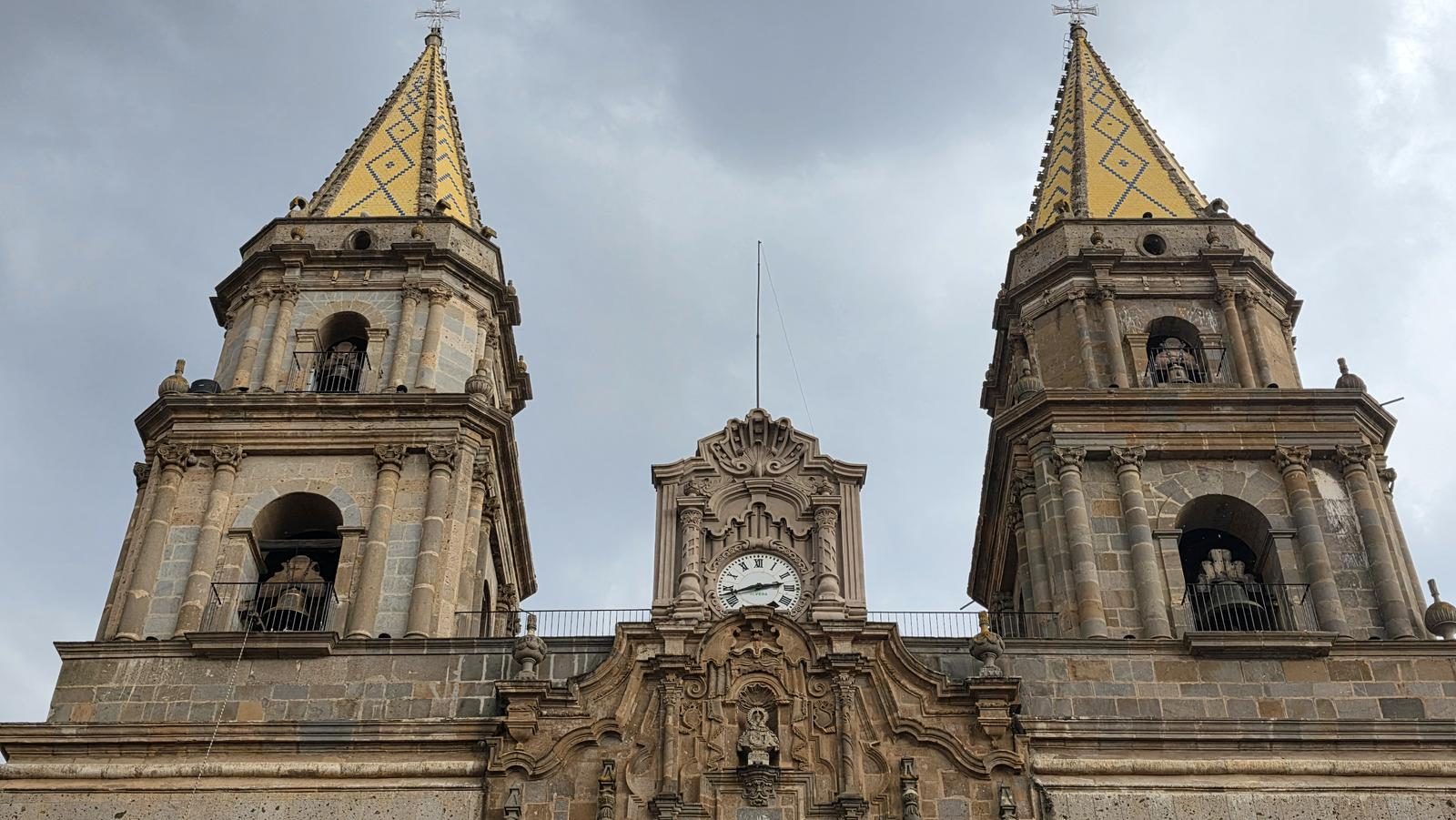
The 90 km pilgrimage to Talpa, walked from Lagunillas. Five municipalities, four hills and a devotion that began in 1644. A level 10 on our scale.
📢 Alerts & Updates
This tour is commonly held during the weeks leading up to the Easter celebrations. You can see Pilgrims on weekends from one month before Holy Week to Easter. Other dates where there may be pilgrims are May 12, between September 10 and 19 and October 7.
Warnings


Level
i
Packing List
How to get there
Trailhead Access
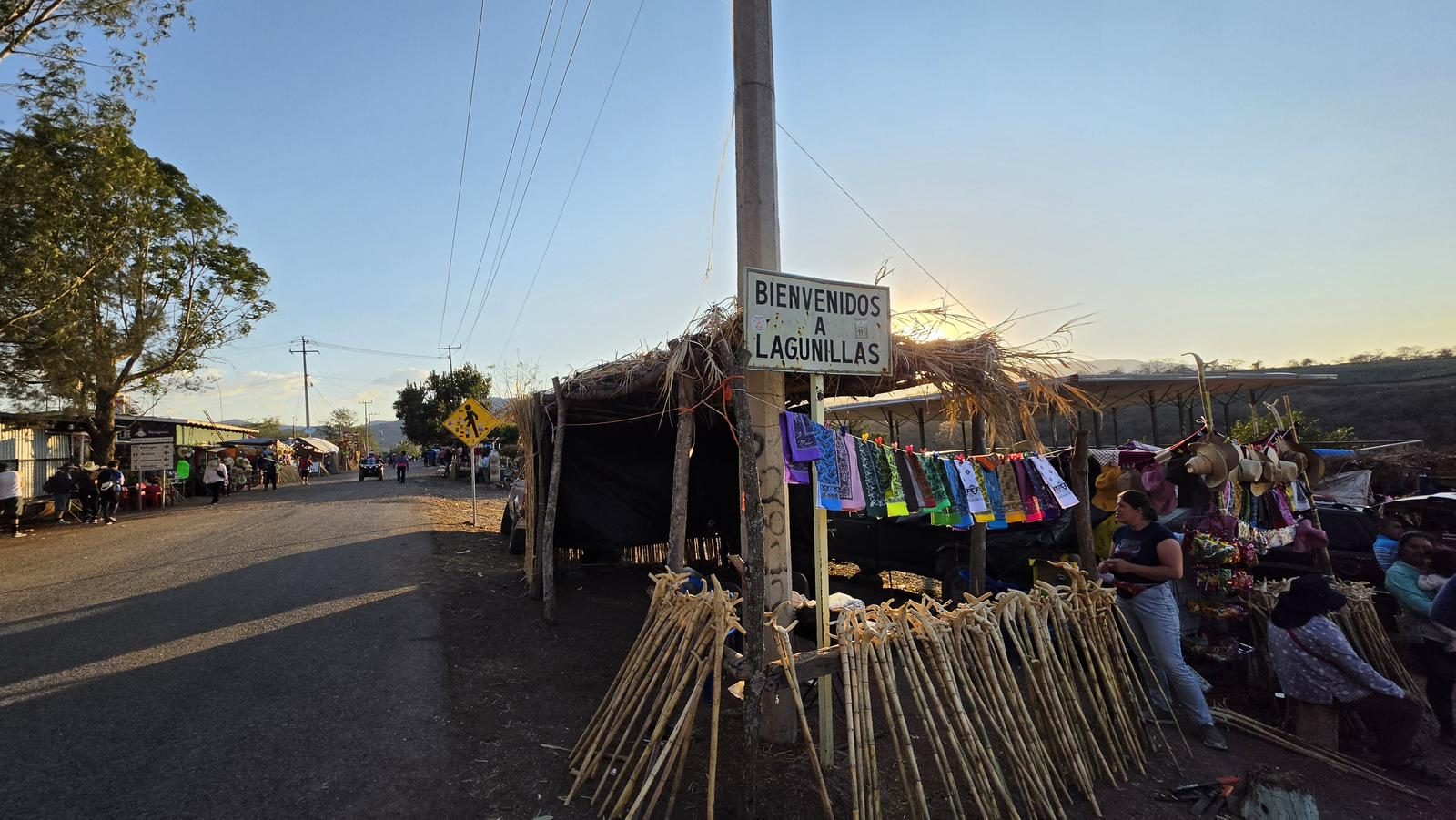
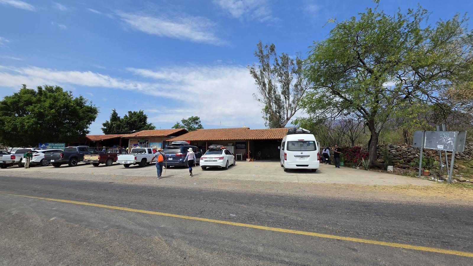
Lagunillas is a small town located 21 km from the municipal seat of the municipality of Ameca, Jalisco (not to be confused with Lagunillas de San Martín Hidalgo, in the Sierra de Quila). To get there, you must first travel to the Ameca bus station. There are several buses that travel there, I took it at the corner of Ave Aviación and La -Carretera a Vallarta; outside the 7-Eleven there is a canvas roof and there you can buy a ticket ($125 MXN). They happen every 30 minutes, approximately. From the Ameca power station there are buses that go to Lagunillas; when it's pilgrimage season, the last one leaves at 4 PM. You can also take a moto-taxi ($200 MXN). And well, you can also start walking from Ameca 😁
Parking Information
But due to the type of route, it would be more convenient to leave the car in Ameca and get to Lagunillas by bus or motorbike taxi, since Ameca is easier to reach.
Fees & Park Hours
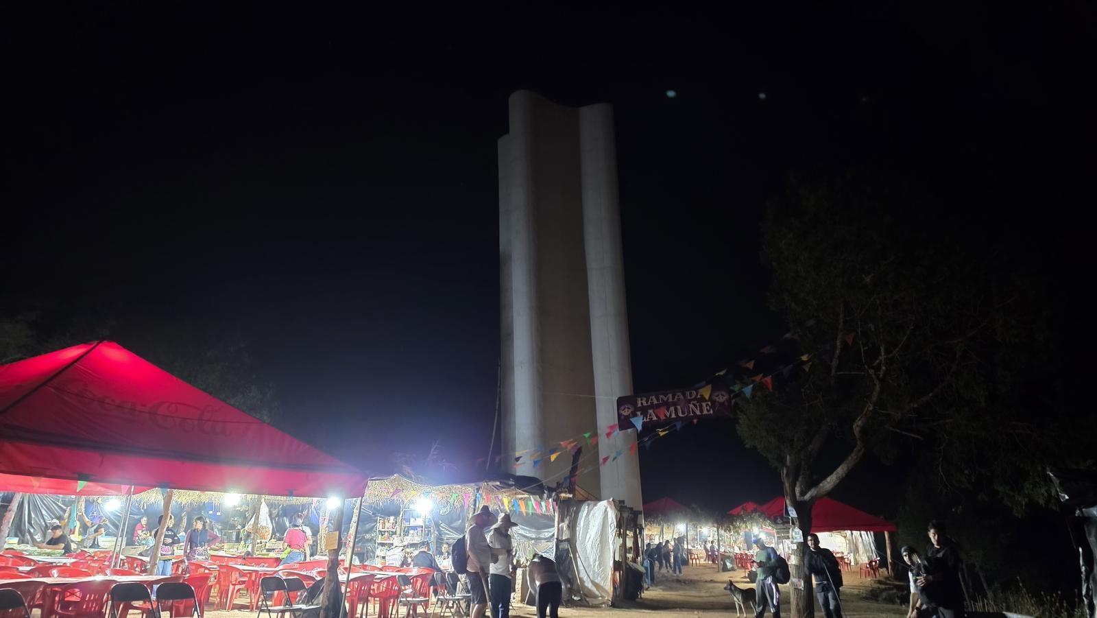
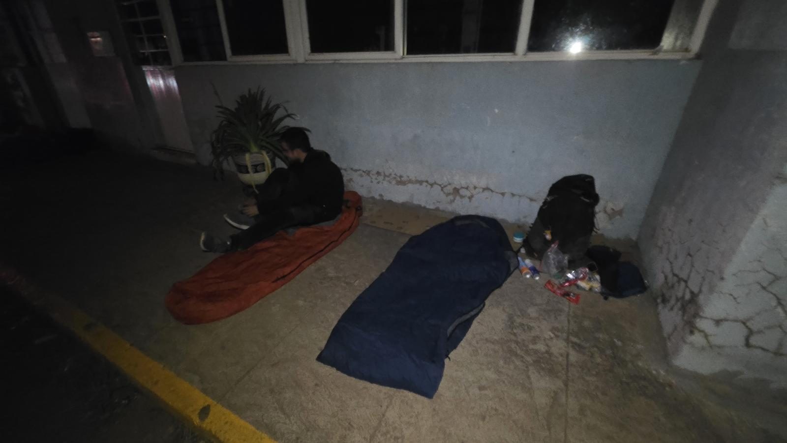
April 2026. Taking this tour alone and without considering transportation does not involve any cost; however, it is highly recommended to carry cash to buy supplies and/or rent sleeping spaces during the trip. On the other hand, there are groups that coordinate to take pilgrims from Guadalajara to Lagunillas and accompany them on the way to the Talpa Basilica (most pilgrims choose this option, which is why they look very light during the tour 😁). The cost for the entire trip (round trip) is usually between $1,000 and $1,500 MXN per person.
Trail Overview
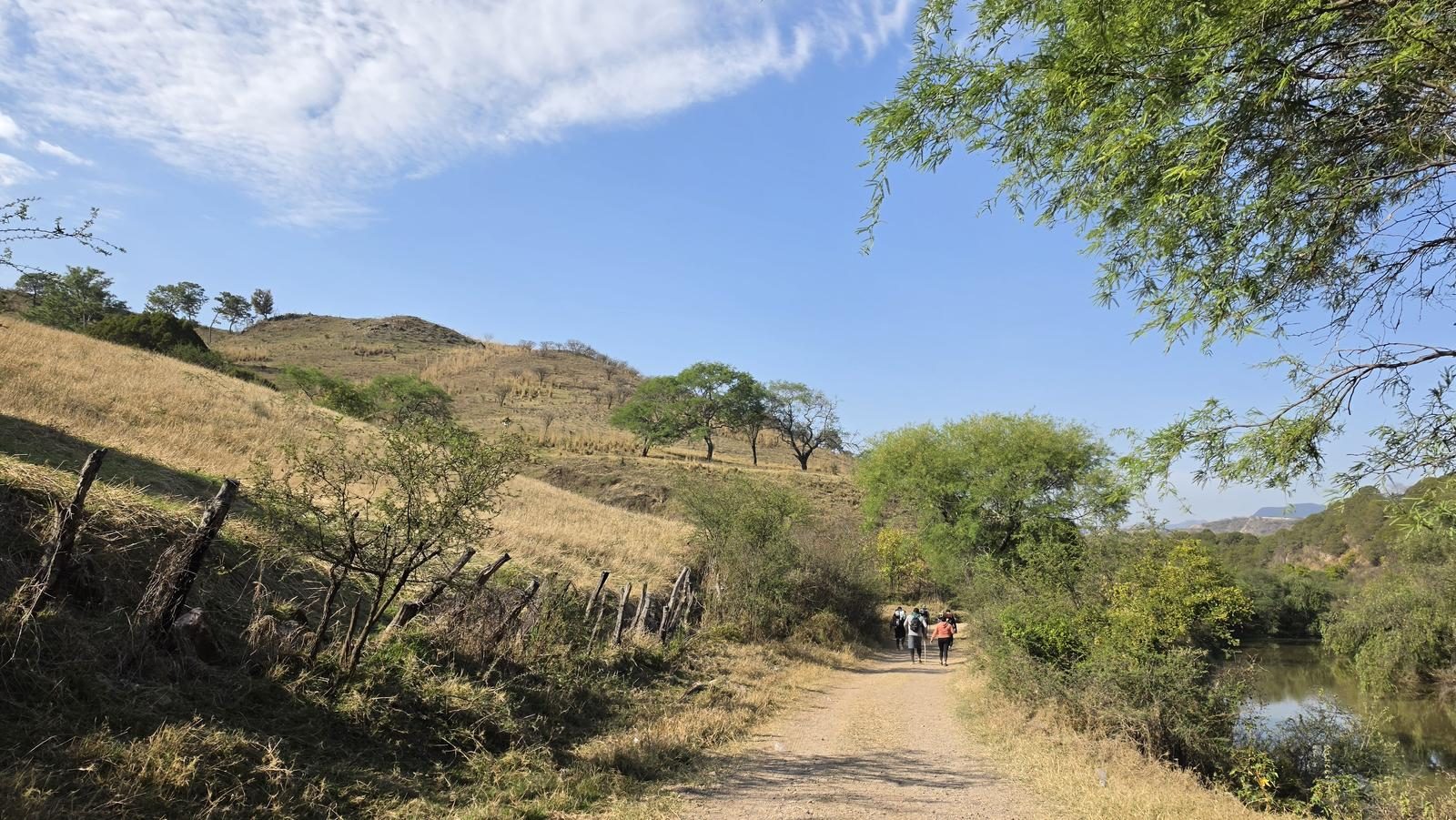
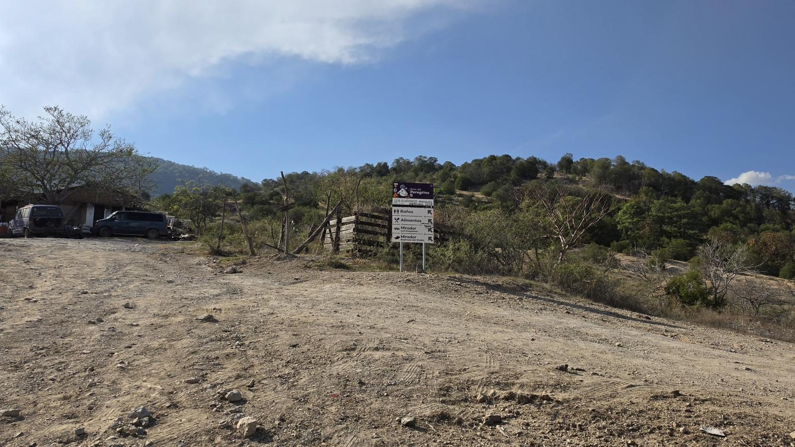
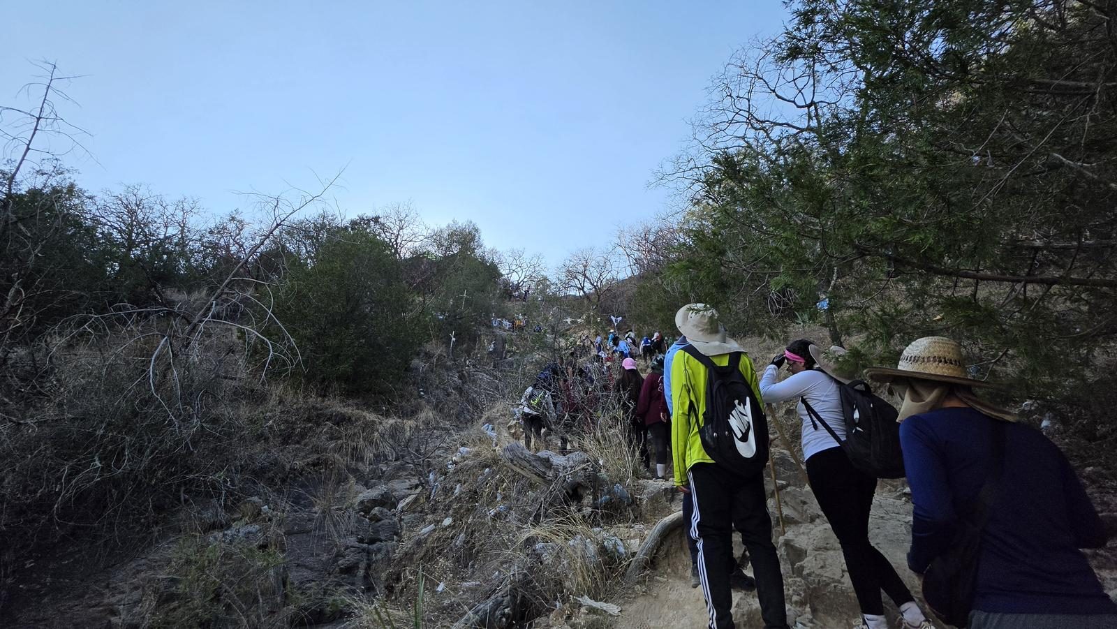
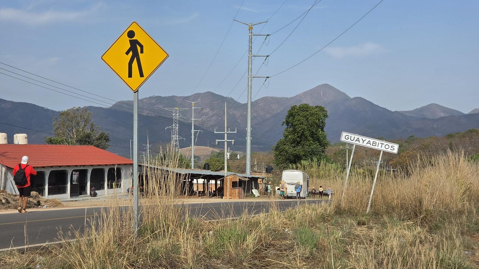
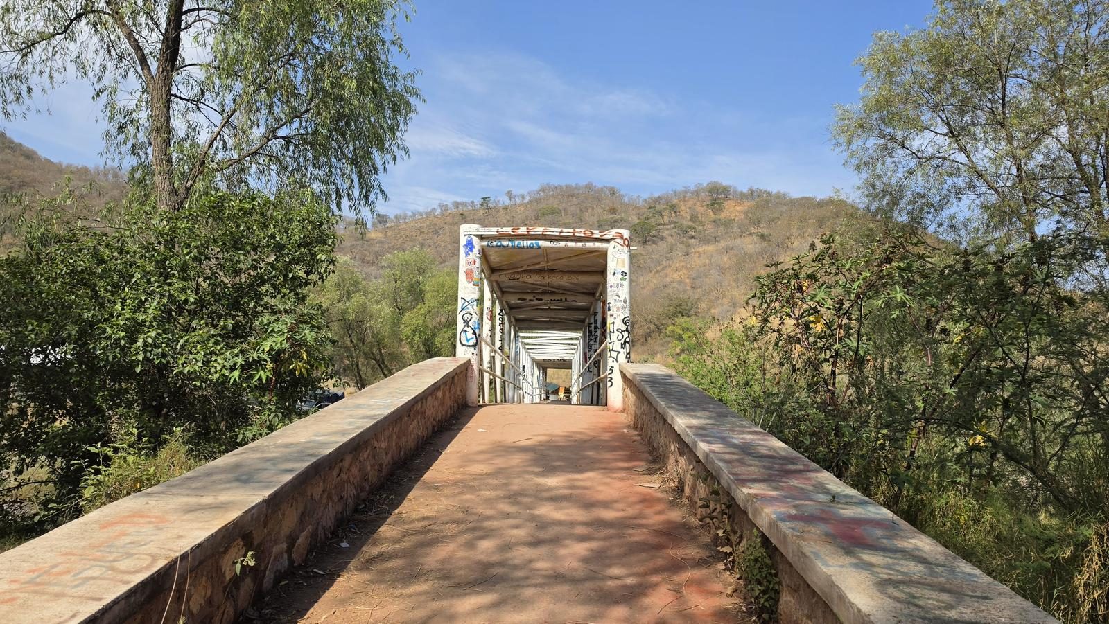
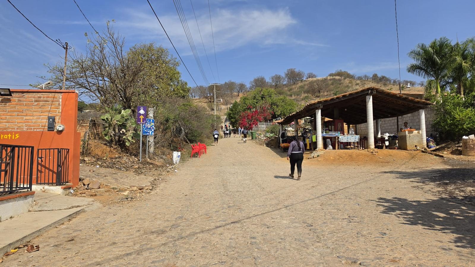
Excellent. This route is frequented every year by millions of parishioners, making it very easy to follow. Also, the government of Jalisco has placed some signs that indicate where we are on the road. Although there are many road variants (there are those who do the entire pilgrimage at the foot of the road), the route we document is very easy to follow, road trips are reduced to the maximum and they are safe and frequented roads.
Recommended Gear
- Hands free lamp (mining type) - Hiking sticks - Thermal blanket - External battery (PowerBank) - Sunscreen - First Aid Kit or First Aid Kit

Elevation Gain
2174 m
Total Distance (Out & back)
90.8 km
Total Time
23 h 48 m
Max Elevation
2012 msnm
Route level 10 (scale from 1 to 10). This is a large scale route where you walk just over 90 km and climb between three and four hills. Several municipalities and towns in the state of Jalisco are visited.