
Ruta Jaguarundi - Cerro Viejo - Jalisco
Ruta Jaguarundi - Cerro Viejo - Jalisco
Área Estatal de Protección Hidrológica Cerro Viejo-Chupinaya-Los Sabinos, Ixtlahuacán de los Membrillos
1344 m
19.22 km
6 h 30 m
2950 msnm
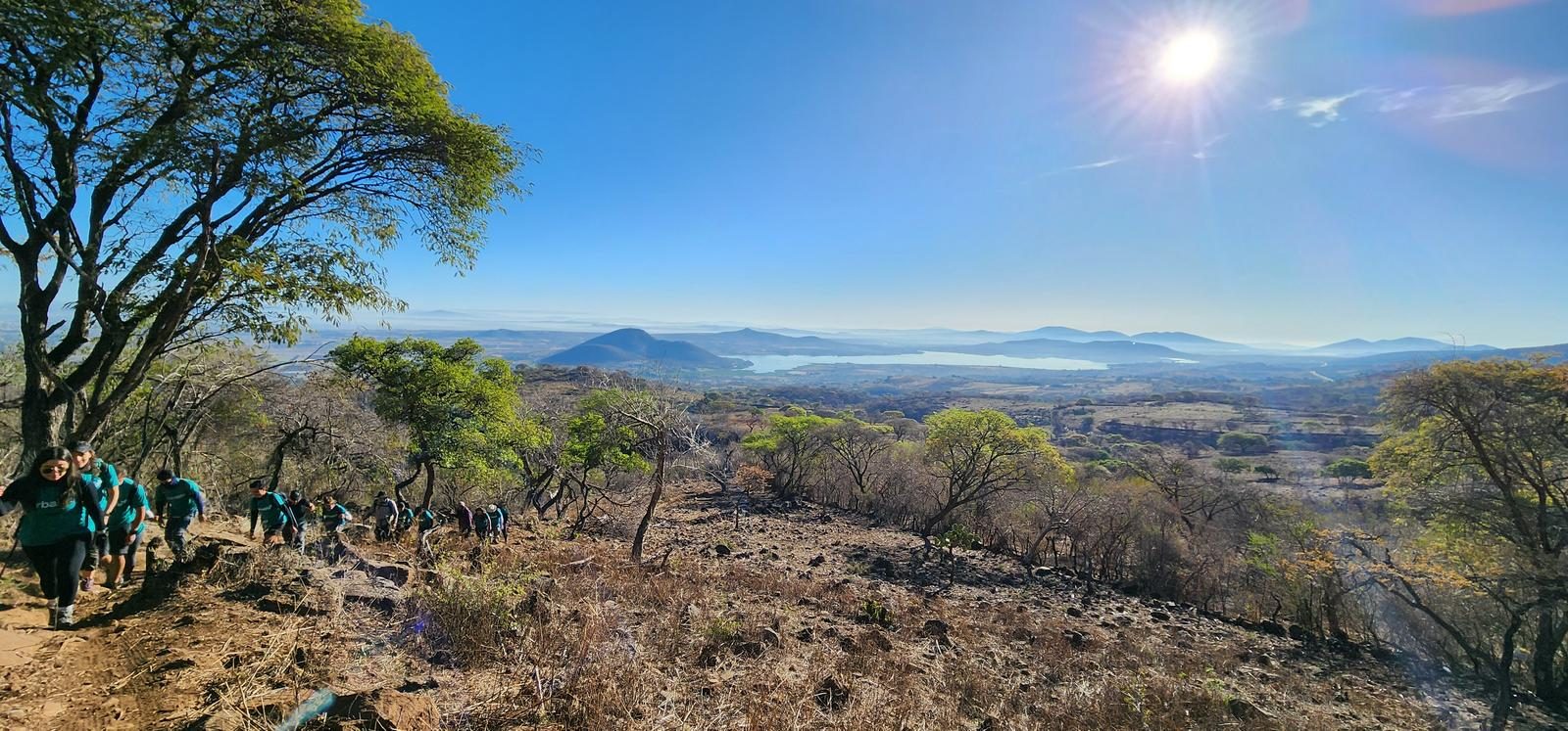
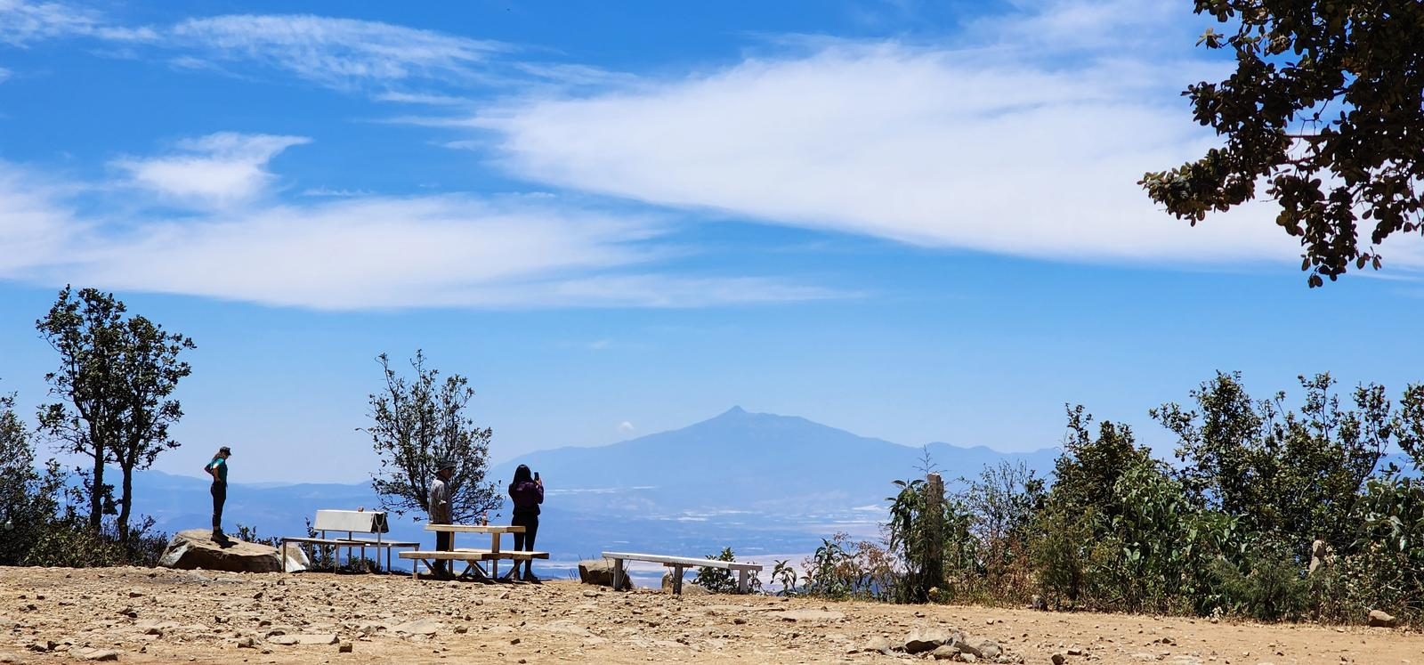
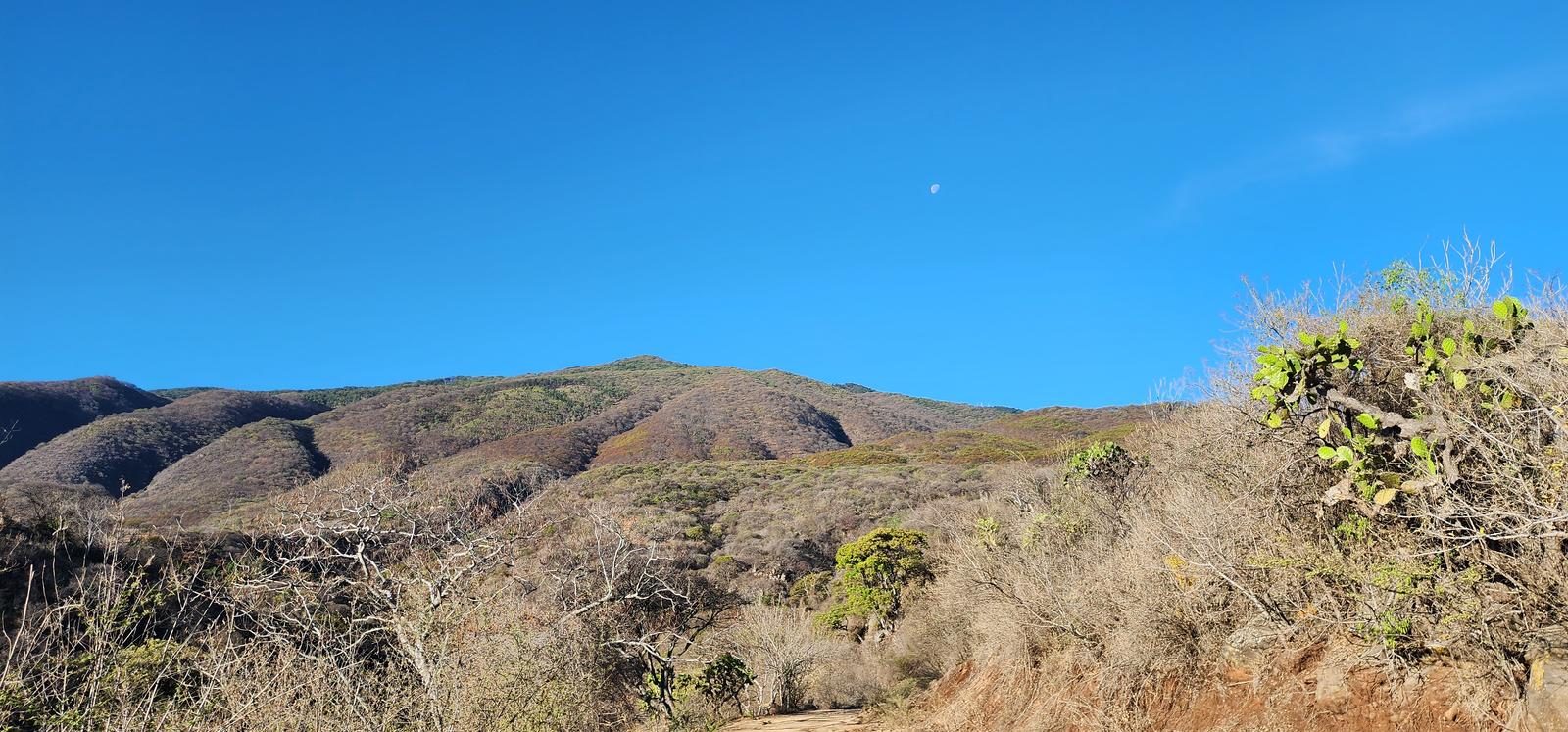
Cerro Viejo is the third highest point in Jalisco, and the Jaguarundi route takes it head-on: 1,300 m of gain in barely 5 km. A local favorite for volcano-season training.
📢 Alerts & Updates
This route can be done comfortably in any season of the year. Only avoid in seasons of extreme heat.
Warnings

Level
i
Packing List
How to get there
Trailhead Access
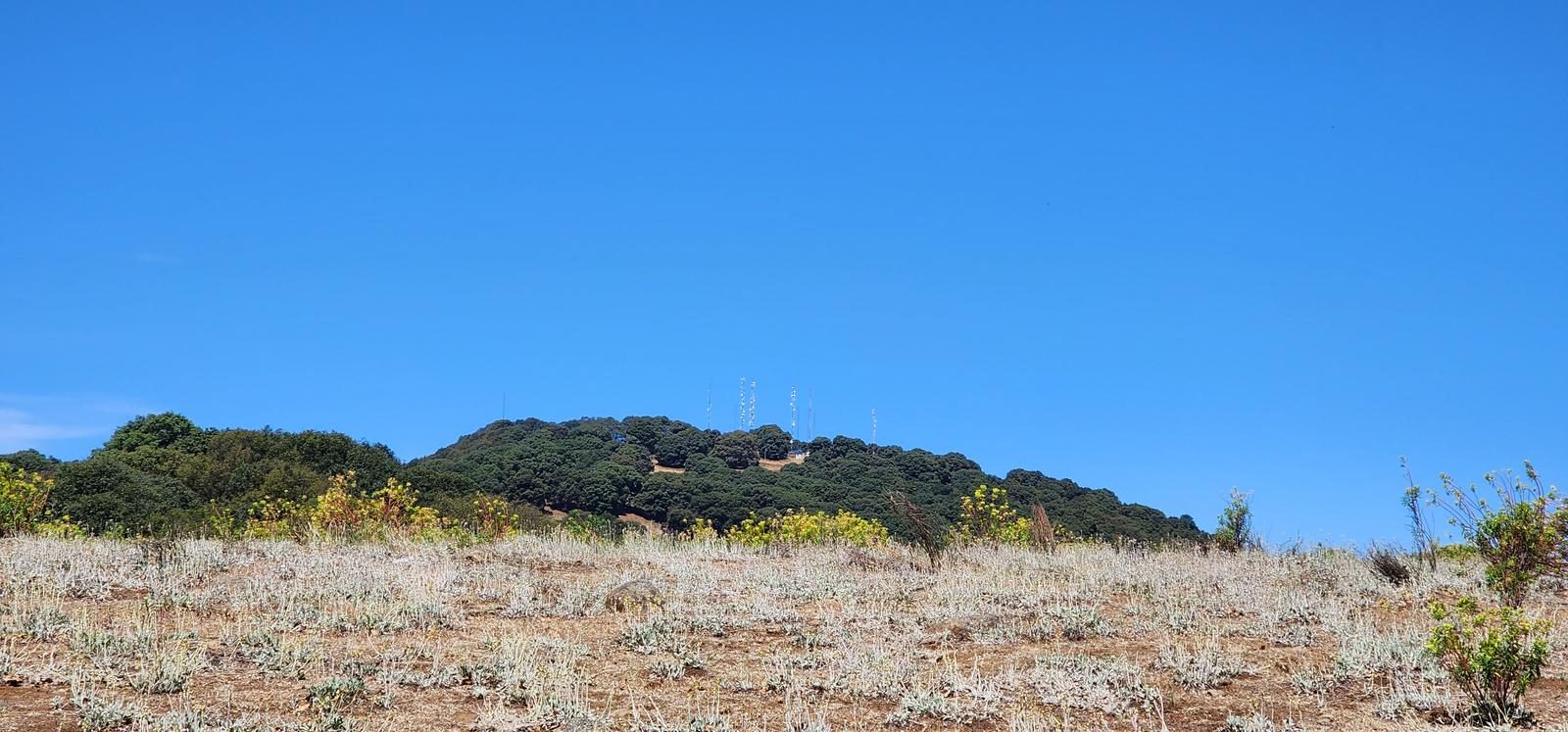
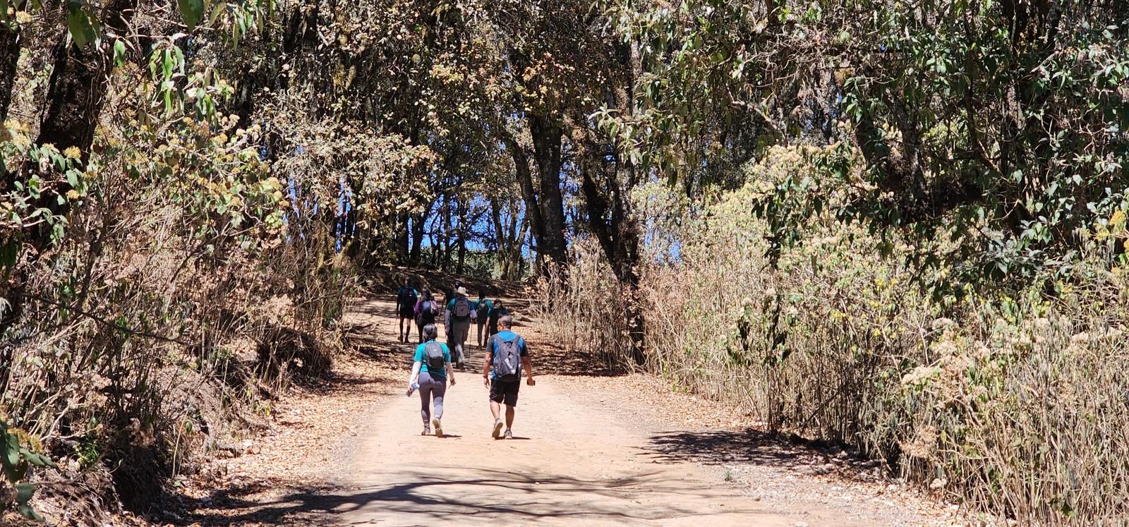
Starting from downtown Guadalajara, we can take the road to Colima (Lopez Mateos) or the road to Chapala. The start of the route is in the town of San Miguel Cuyutlán, which is reached via the Southern Metropolitan Circuit, which intersects both highways. When you arrive in San Miguel, take Juárez Street to the south. Eventually, the paved road ends and you continue along dirt roads (approximately 400 m) to reach the San Miguel Cuyutlán Sports Unit. There is a parking lot and an access booth there. If you have a tall vehicle or a 4x4 vehicle, you can continue up a dirt road and shorten the distance you have to travel. You can even climb in a 4x4 vehicle to the top of the hill.
Parking Information
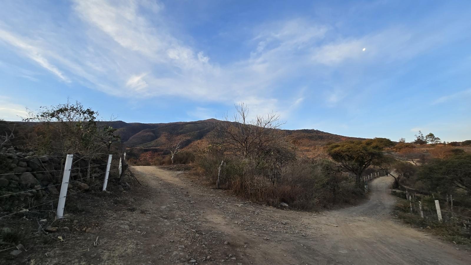
This itinerary begins at the San Miguel Cuyutlán Sports Unit, which has 8 parking spaces. If you have a van, you can advance to the intersection between the roads to Jaguarundi and Las Antenas (WP 1 on this route) and the slope is shortened by just over 1 km and 100 m.
Fees & Park Hours
August 2026: Access costs are: $30 for pedestrians and cyclists. $80 motorcycles, vans and cars. Access to Razrs is no longer allowed.
Trail Overview
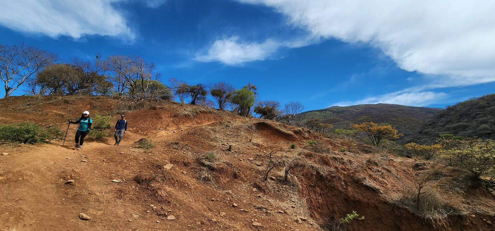
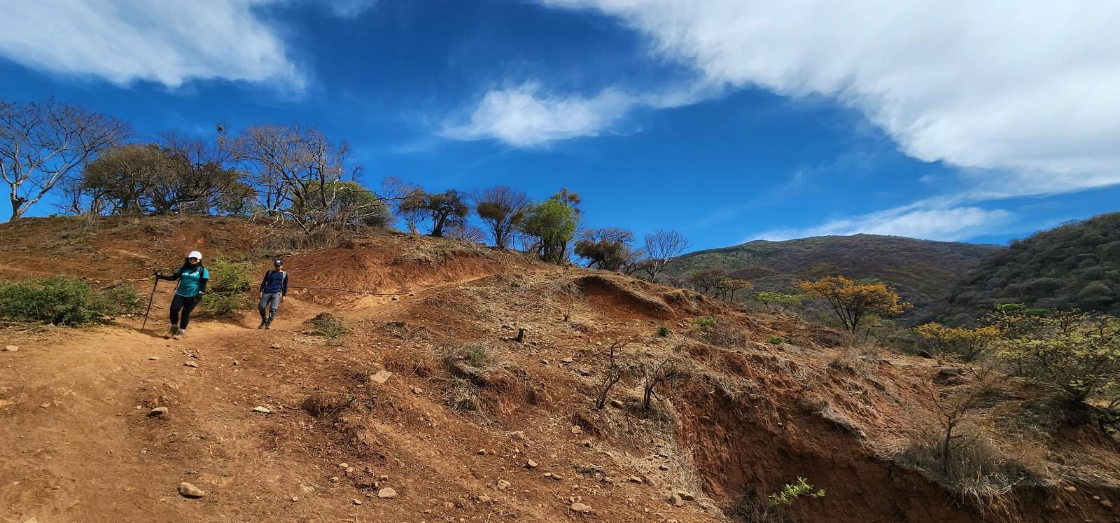
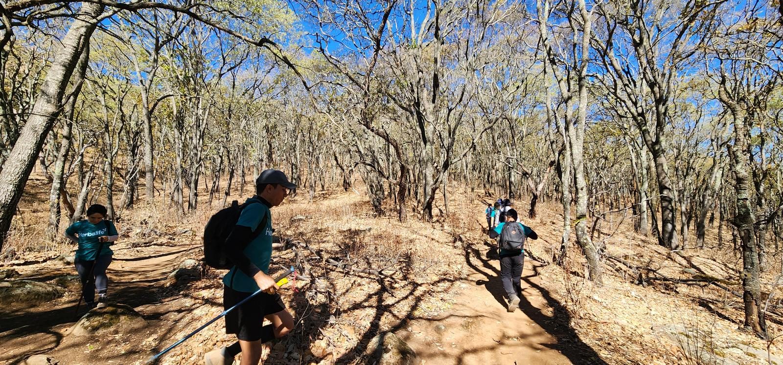
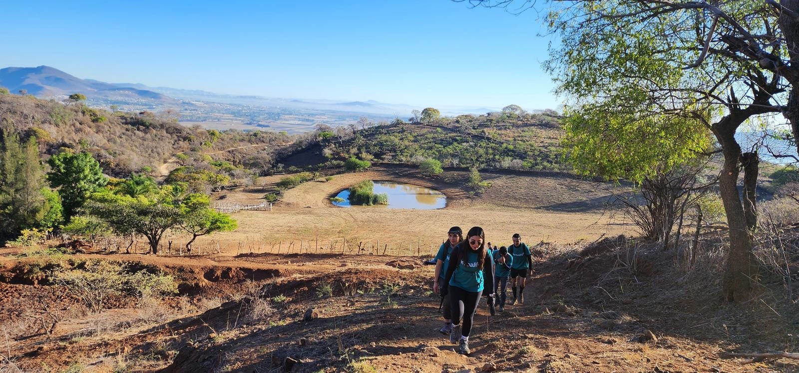
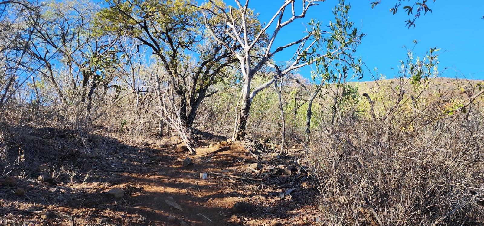
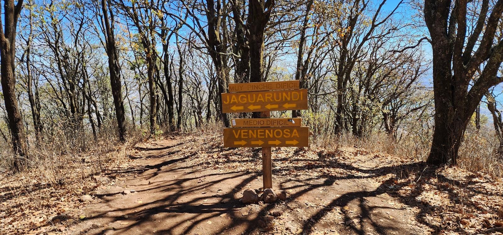
Very good. This route is frequented all year round, making it easy to follow. Some points may be confusing, especially at the beginning of the trail, because there are route variants that lead to small villages on the side of the hill, but you just have to keep an eye on Wikiloc to reorient yourself.
Recommended Gear
- Hiking sticks - Hands free lamp (mining type) - External battery (PowerBank) - Sunscreen - First Aid Kit or First Aid Kit - Thermal blanket
Elevation Gain
1344 m
Total Distance (Out & back)
19.22 km
Total Time
6 h 30 m
Max Elevation
2950 msnm
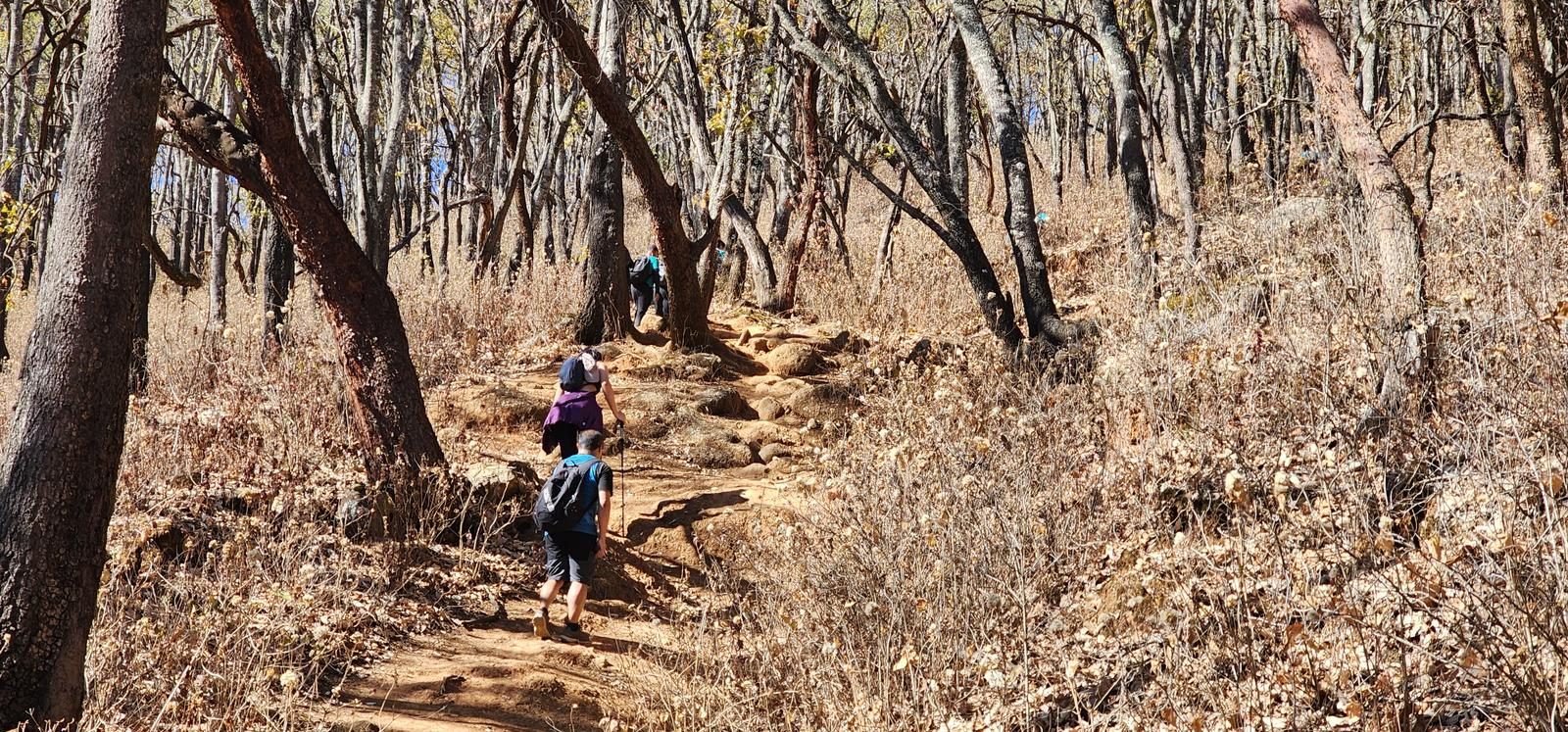
Level 7 (scale from 1 to 10). It offers us just over 1,300 meters of positive elevation gain that we will climb 5 km away, since, when we reach the plateau, the slope decreases considerably. This itinerary covers a total of 19 km. Similar to the Los Postes route, here you also take a direct route to the edge of the mountain, so it requires good physical condition. Its complexity is similar to that of the hills of García, Tequila Volcano or Cruz del Ermitaño (Techaluta).