
Ruta la Jota - Volcán Nevado de Colima - Jalisco
Ruta la Jota - Volcán Nevado de Colima - Jalisco
Parque Nacional Nevado de Colima, Zapotlán el Grande
912 m
9.53 km
3 h 38 m
4280 msnm
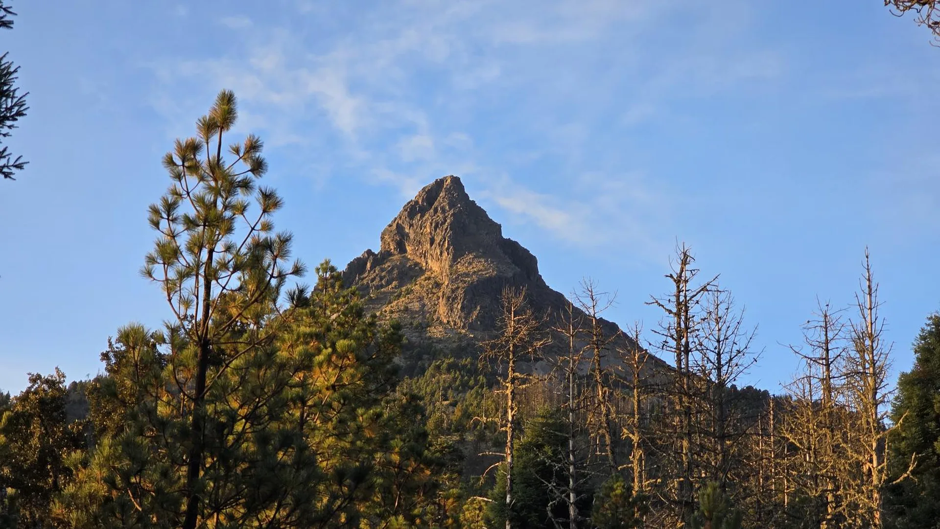
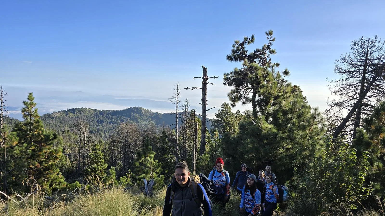
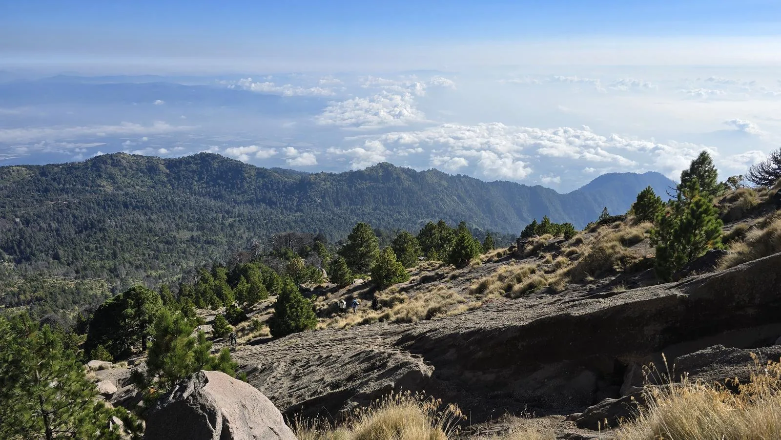
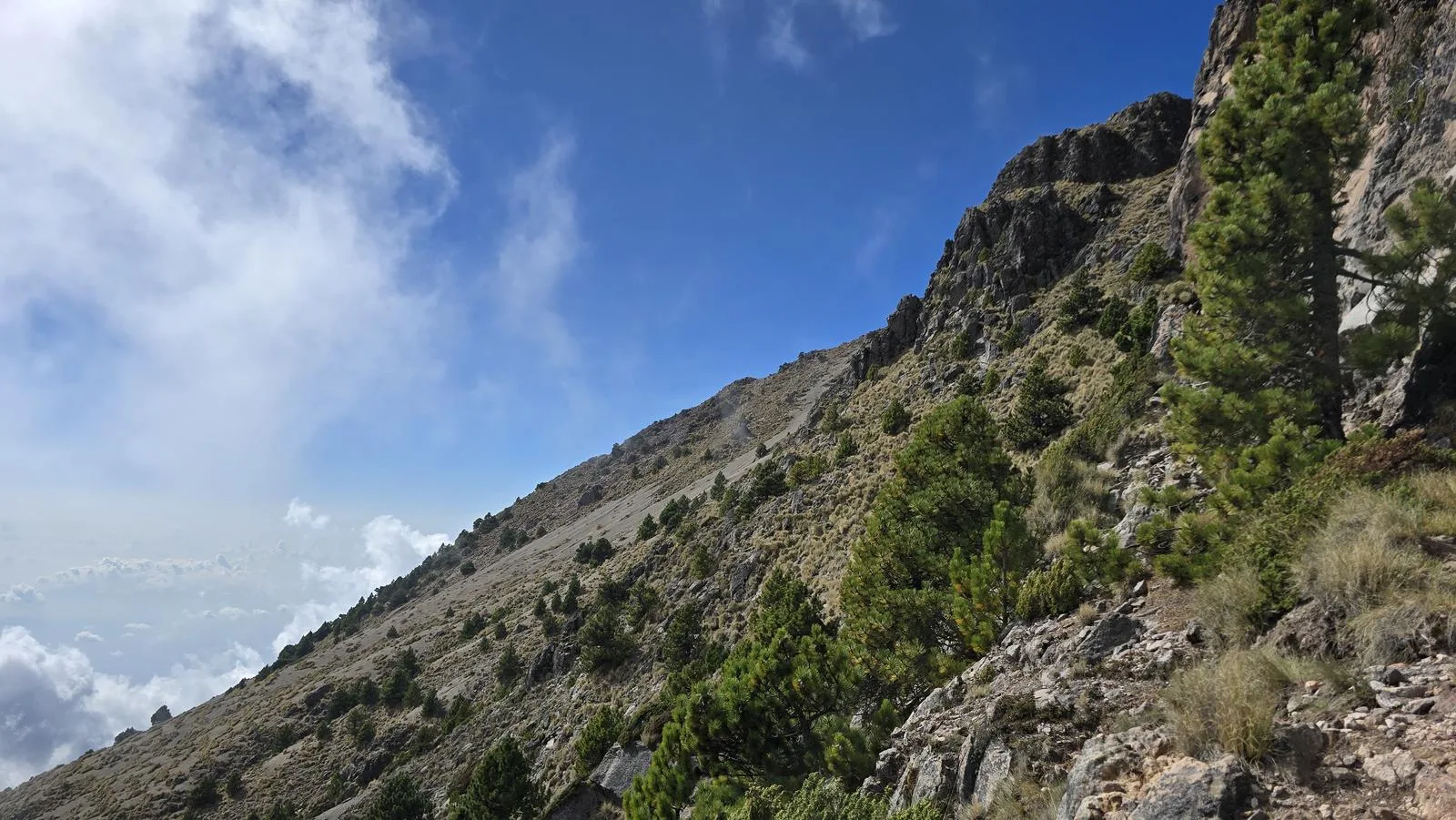
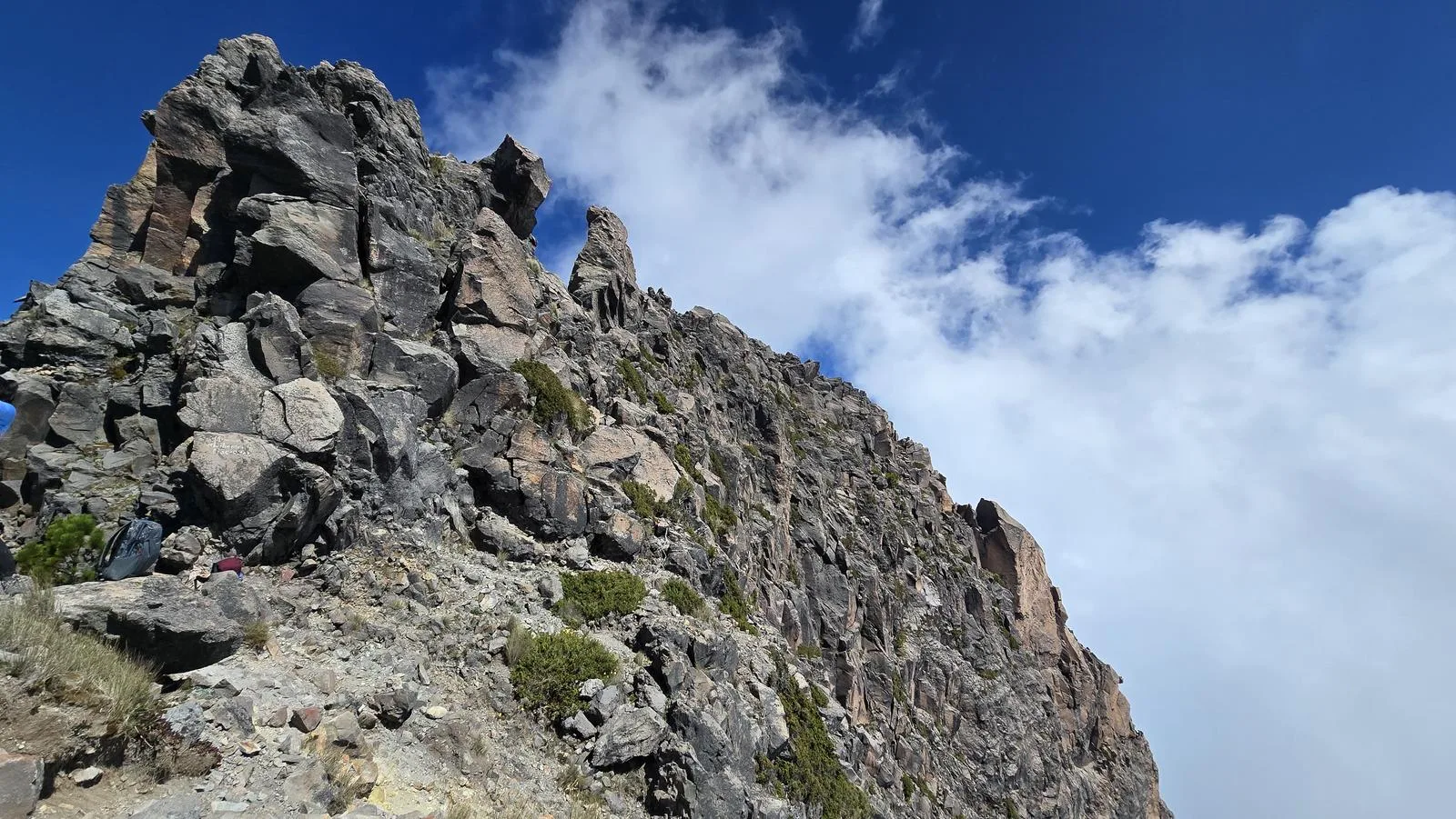
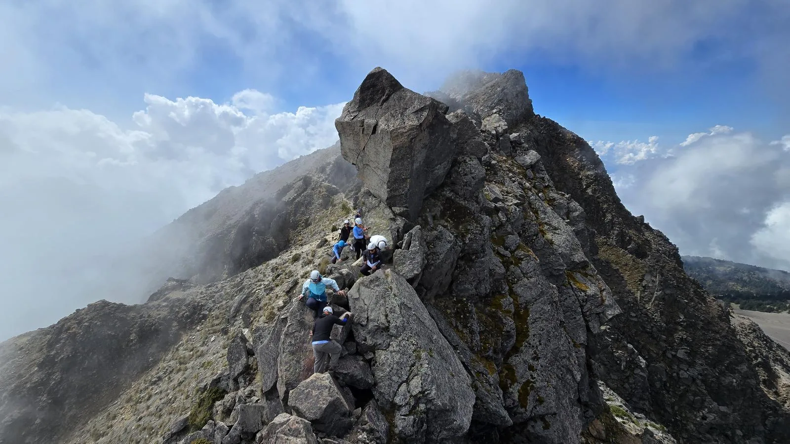
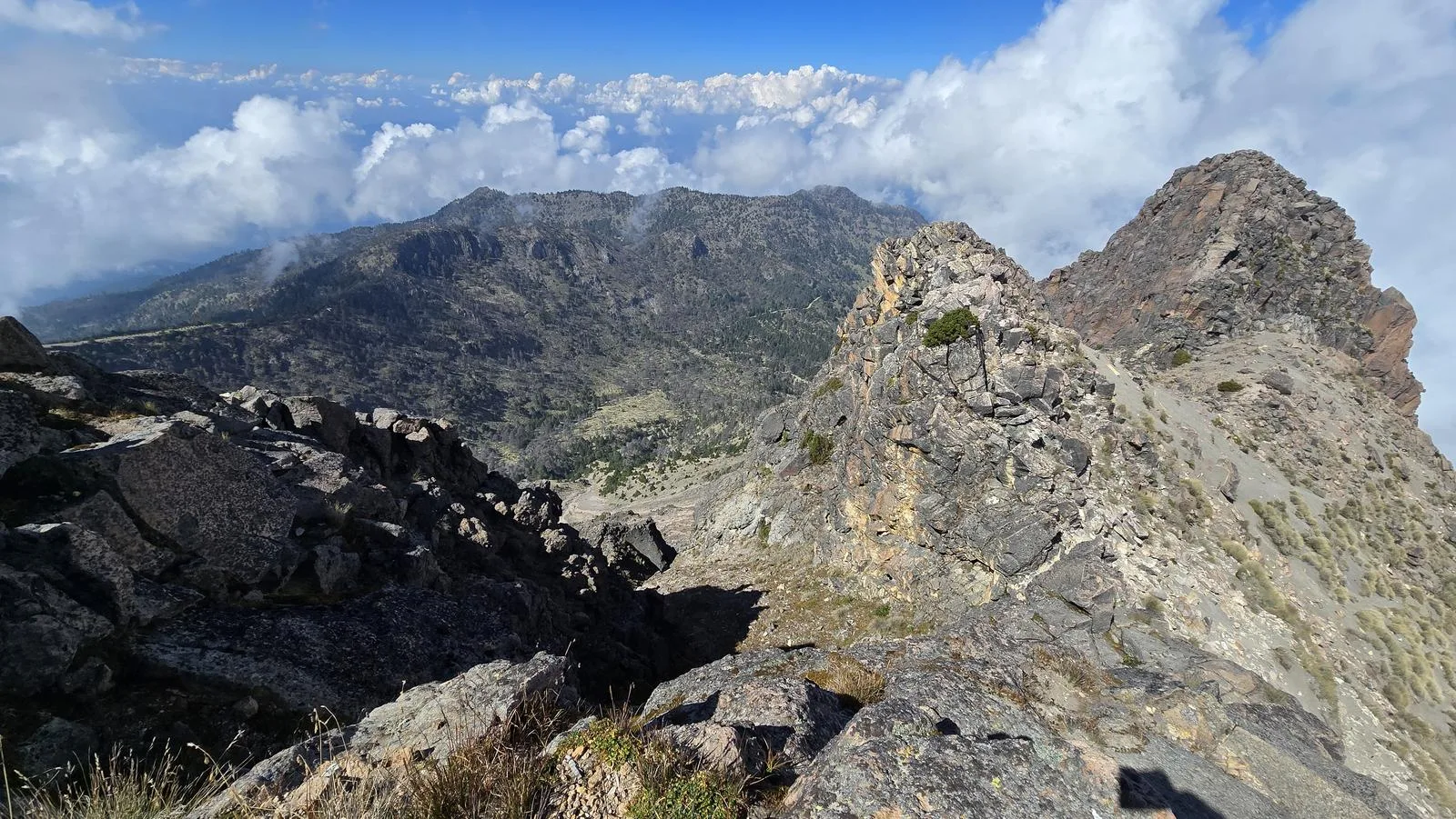
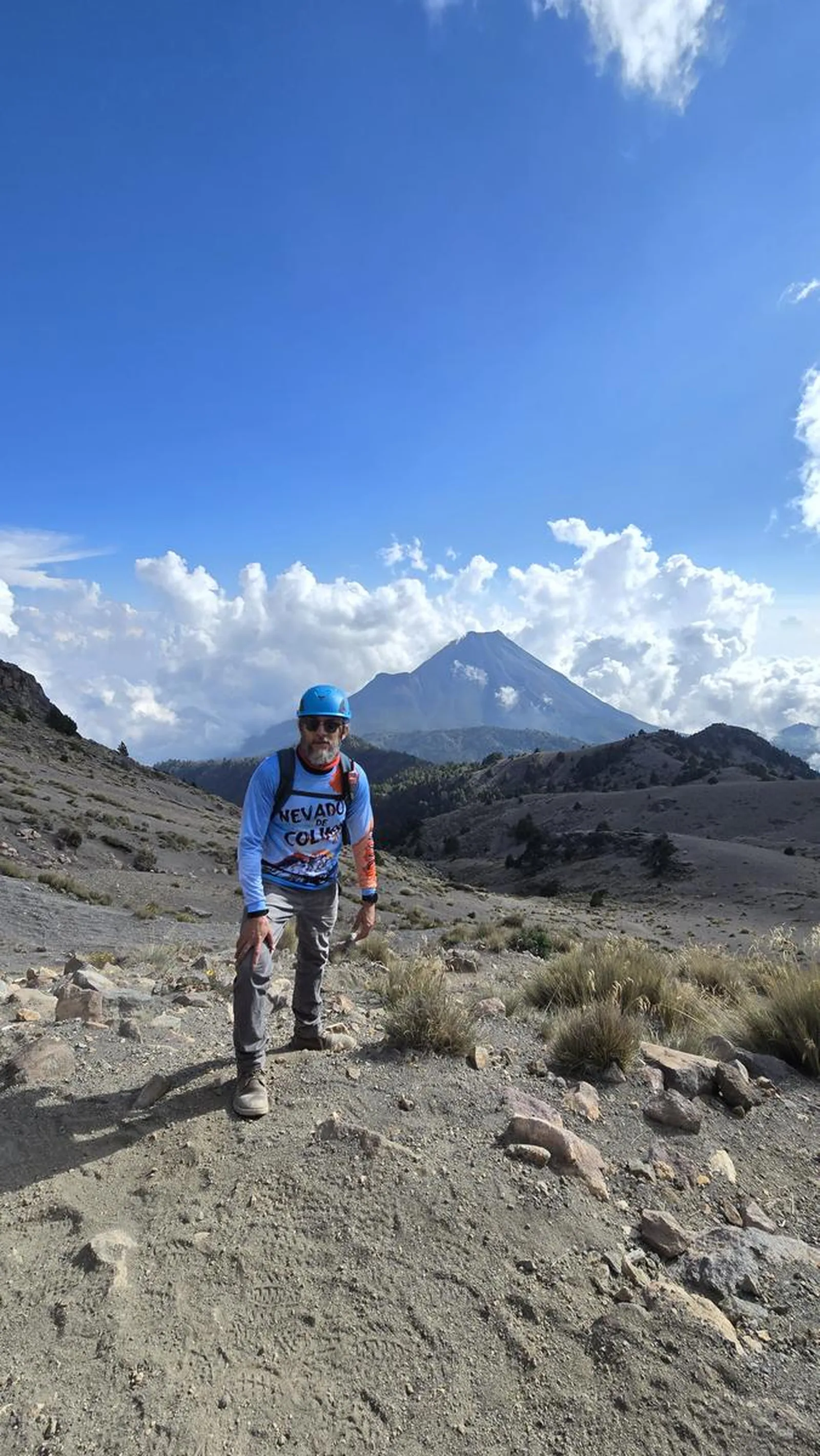
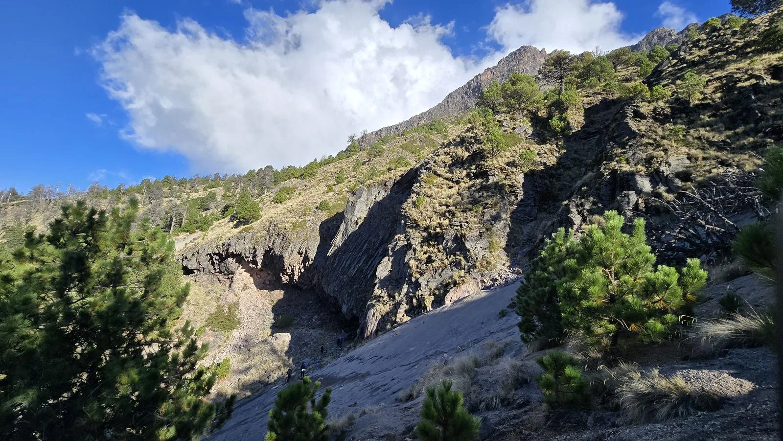
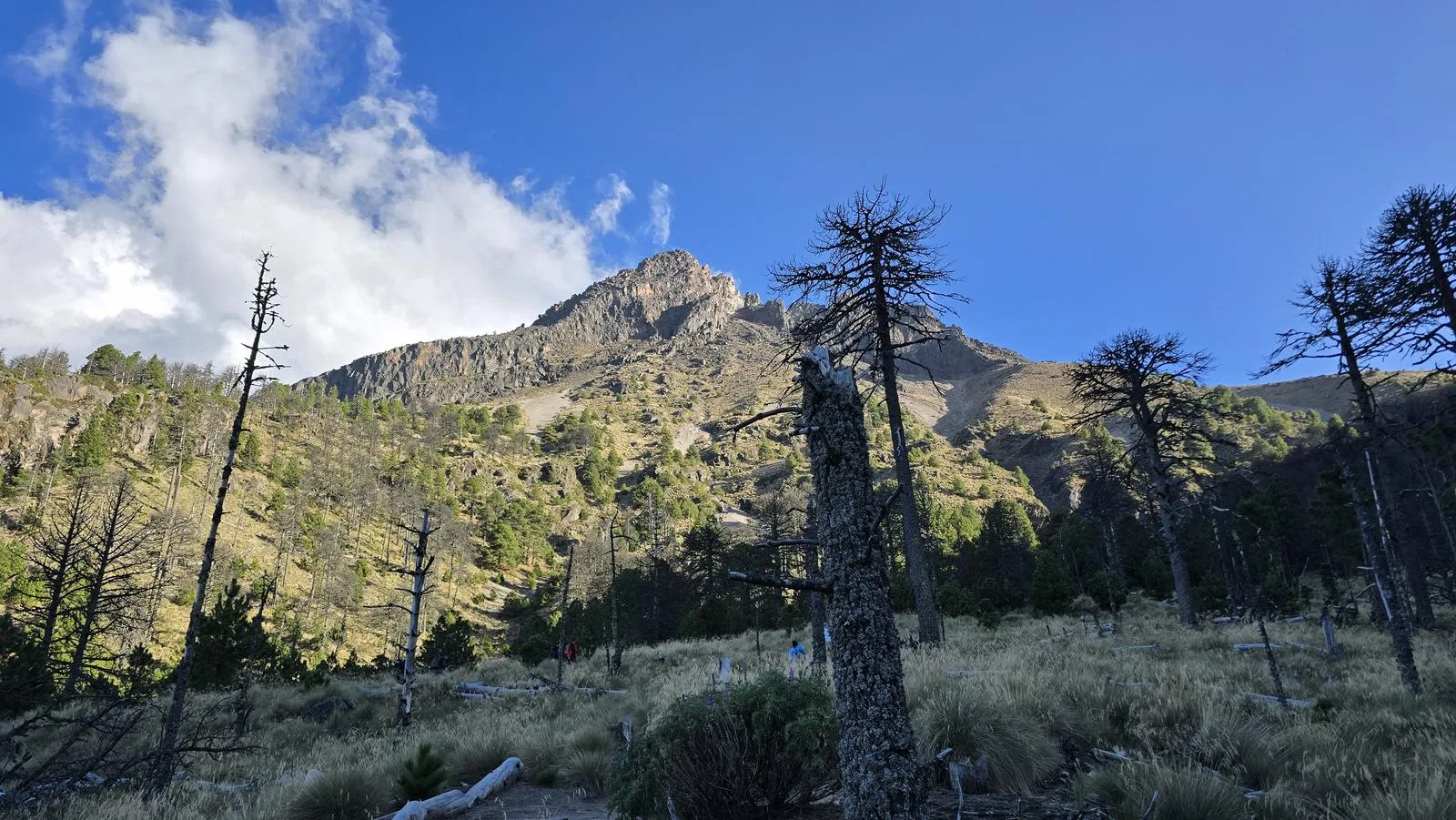
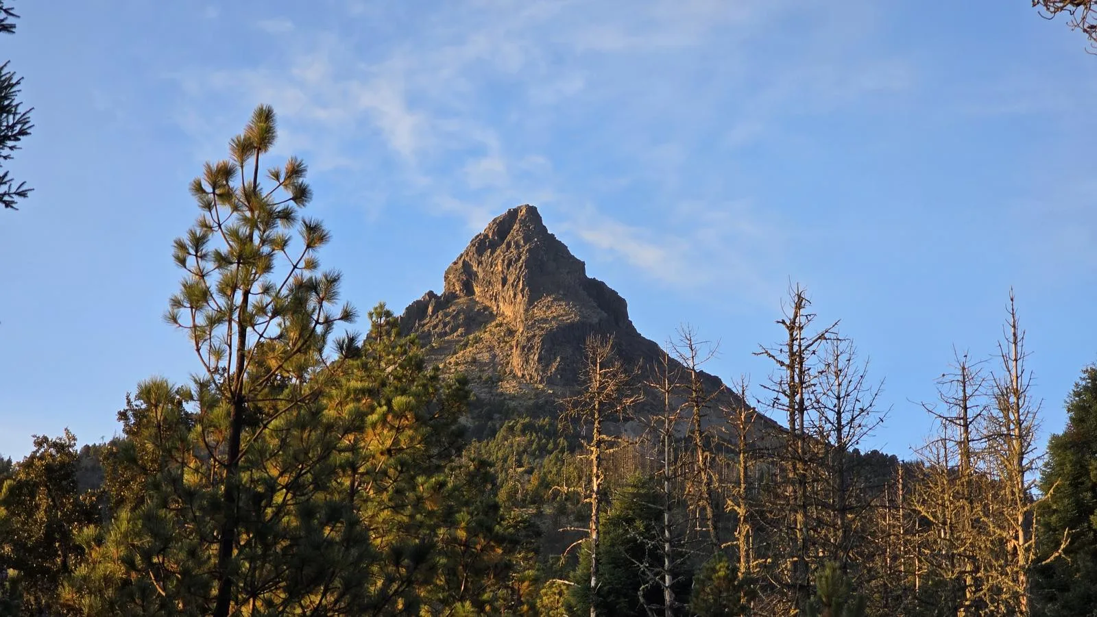
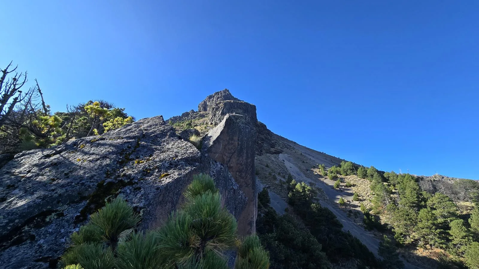
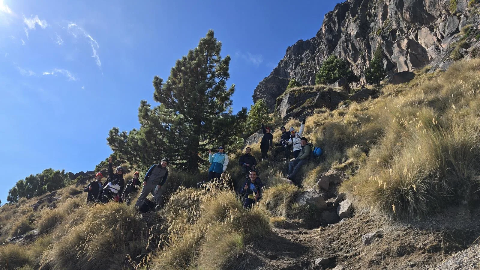
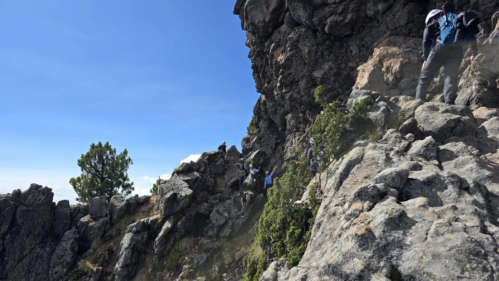
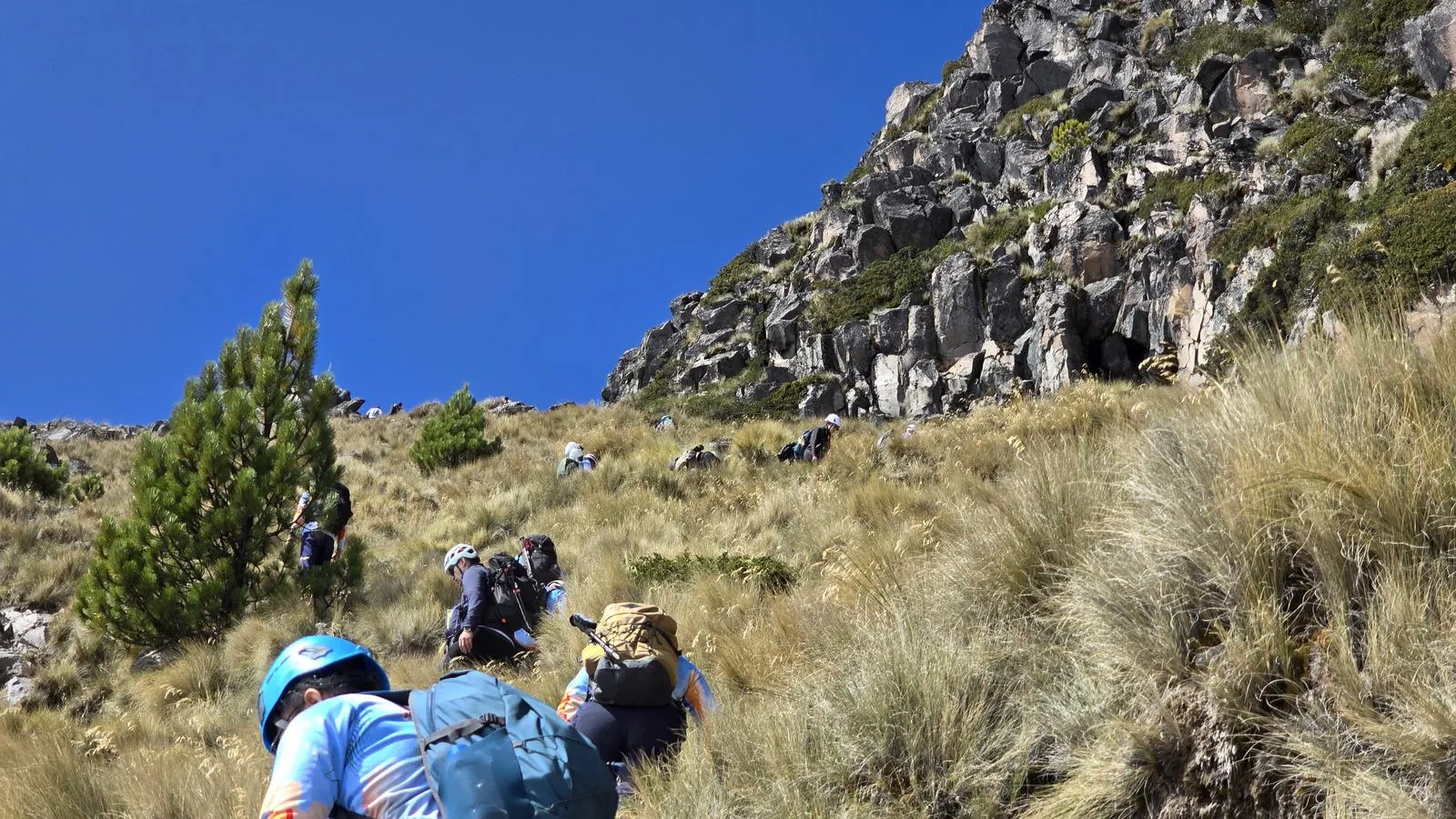
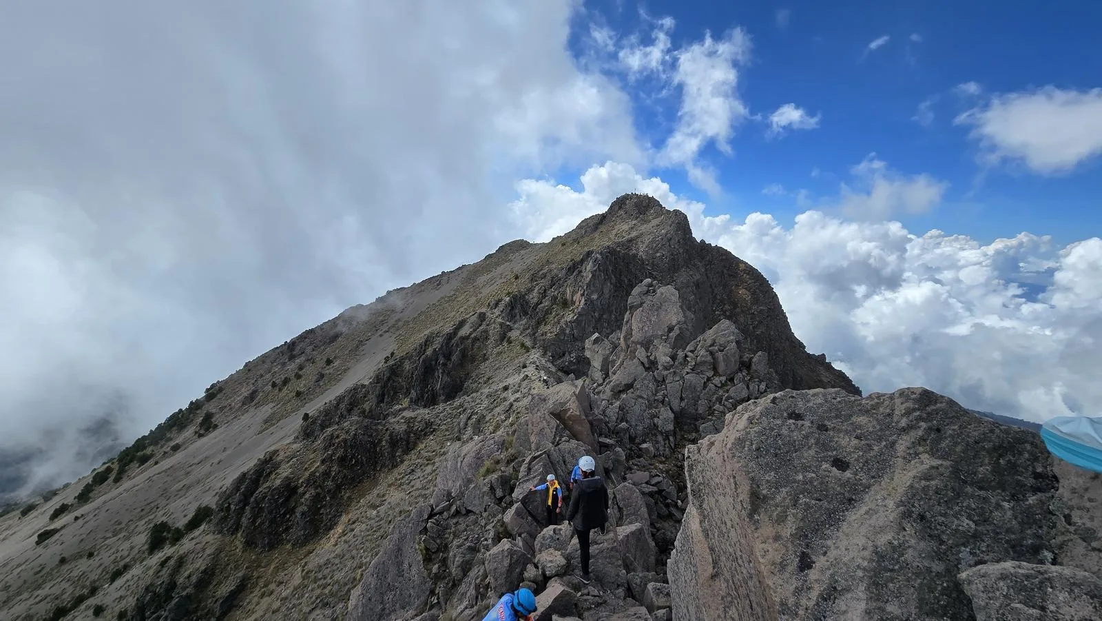
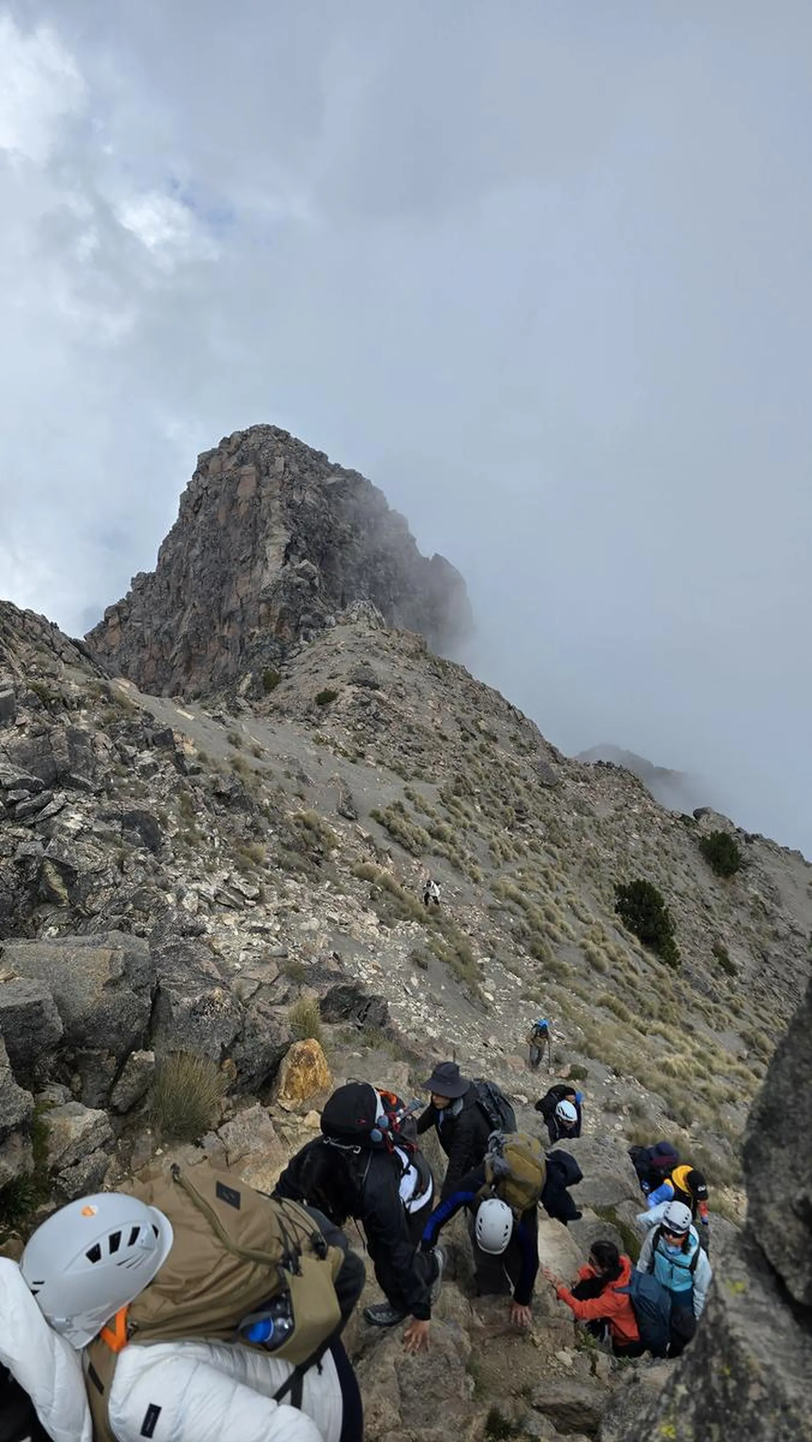
Nevado de Colima's north and south summits via La Jota — Zapotepetl, 4,280 m. Scrambling, sand slopes and a maze of paths, with altitude sickness the first thing to watch.
📢 Alerts & Updates
This route can be done in any season of the year. It is most enjoyed in the autumn season due to the high exposure to the sun. In winter there can be sudden snowfall and it is common that when a lot of snow falls, Civil Protection denies access to the park because the danger on the peaks increases considerably. It's important to check the weather forecast to be prepared.
Warnings








Level
i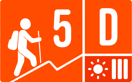
Packing List
How to get there
Trailhead Access
Departing from Guadalajara, take the highway to Colima. Once playing Cd. Guzmán, take the road to El Grullo/El Nevado (429). Approximately 7.4 km later there is the exit to El Nevado. They follow approximately 20 km of dirt road. In the rainy season and later, the dirt road is in very poor condition and it is necessary to climb with a 4x4. Typically between November and May, the terrace is in good condition.
Parking Information
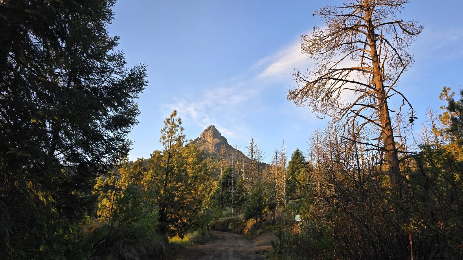
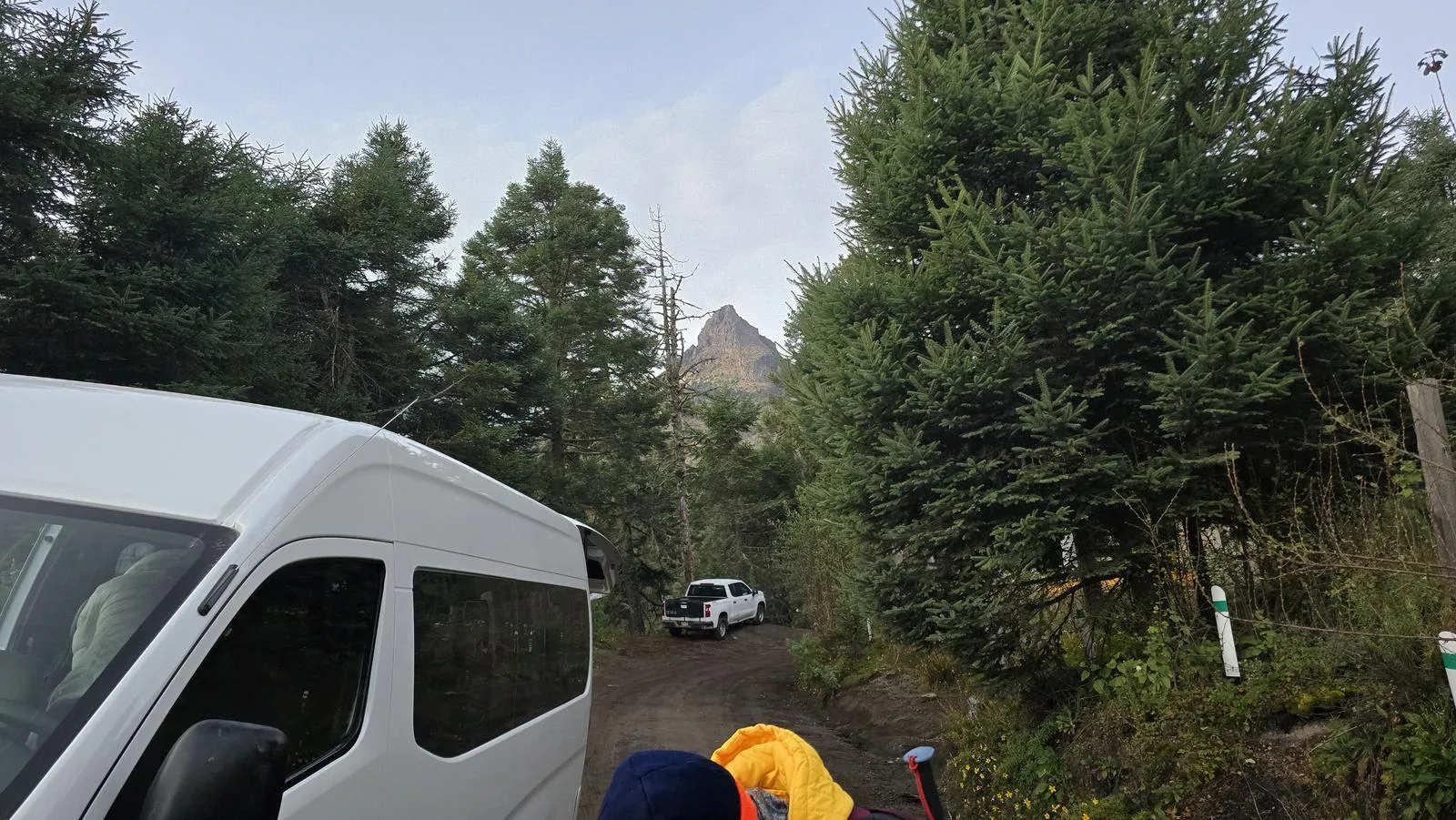
The start of this itinerary is one of the many camping areas in the La Joya area. In our case, we parked on the side of the dirt road. However, there are areas such as the La Joya Camp, Mirador La Joya and the Lumberjack Curve where we can leave our vehicle. It is very important not to obstruct free movement or access.
Fees & Park Hours
February 2026: There is a fee of $50 Mexican pesos that gives us access to the park and its facilities, including palapas and camping areas. Bring cash, as this is the only payment method they accept.
Trail Overview
Complex/Confusing. There are many breaches, sidewalks and route variants in this volcano and many of them have markings (slats, rock paint), although they may have fallen into disrepair. This route was recorded in November 2024 and all the trails that were covered were in good condition; we recommend keeping an eye on Wikiloc and, in case any path on this itinerary has fallen into disrepair, thank you for letting us know in the comments!
Recommended Gear
- Helmet - Hiking sticks - Hands free lamp (mining type) - External battery (PowerBank) - Sunscreen - First Aid Kit or First Aid Kit - Thermal blanket
Elevation Gain
912 m
Total Distance (Out & back)
9.53 km
Total Time
3 h 38 m
Max Elevation
4280 msnm
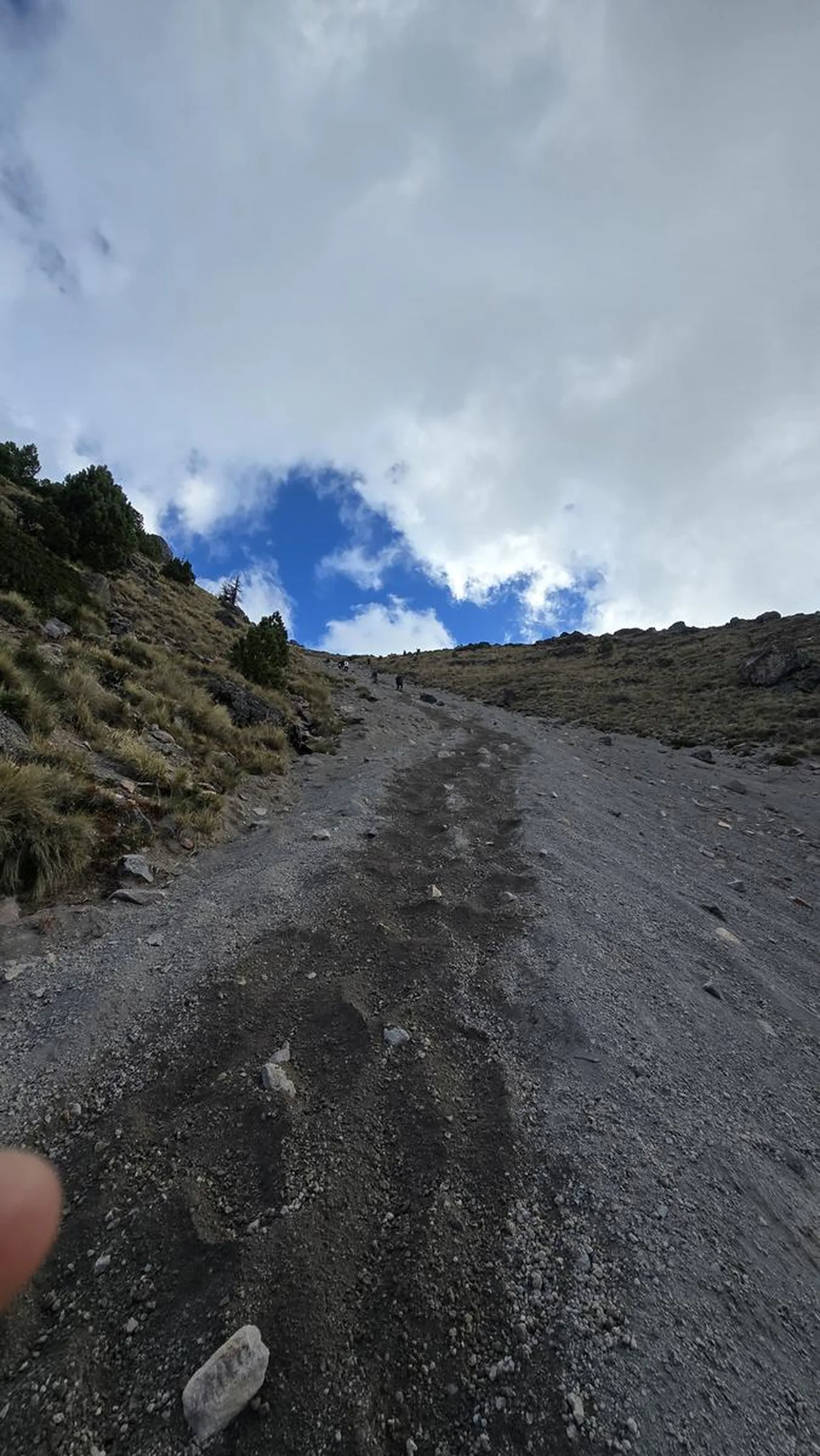
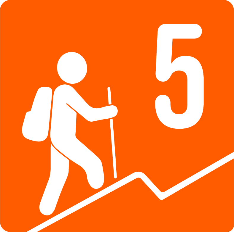
Listed as Level 5. There are just under 1,000 meters of positive elevation gain (climb), making it a summit that requires good physical condition. The ascent takes place through sandy areas (approximately 1 km away during the climb), which are very exhausting due to their inclination and because 2 steps can become 1 and a half steps when slipping in the sand. The climb to the port is 3.6 km, making it a considerably steep climb. In addition, this route runs above 3,500 meters above sea level, so some people may have Mountain sickness , whose symptoms begin with headache, dizziness and extreme tiredness. Serious cases may develop into pulmonary or cerebral edema, which They could be fatal . If you or someone in your group has these symptoms and is unable to acclimate, it's best to return. Avoid taking medications such as paracetamol or aspirin, as these will only hide symptoms and could worsen the person's condition.