
Ruta Noreste - Volcán de Tequila
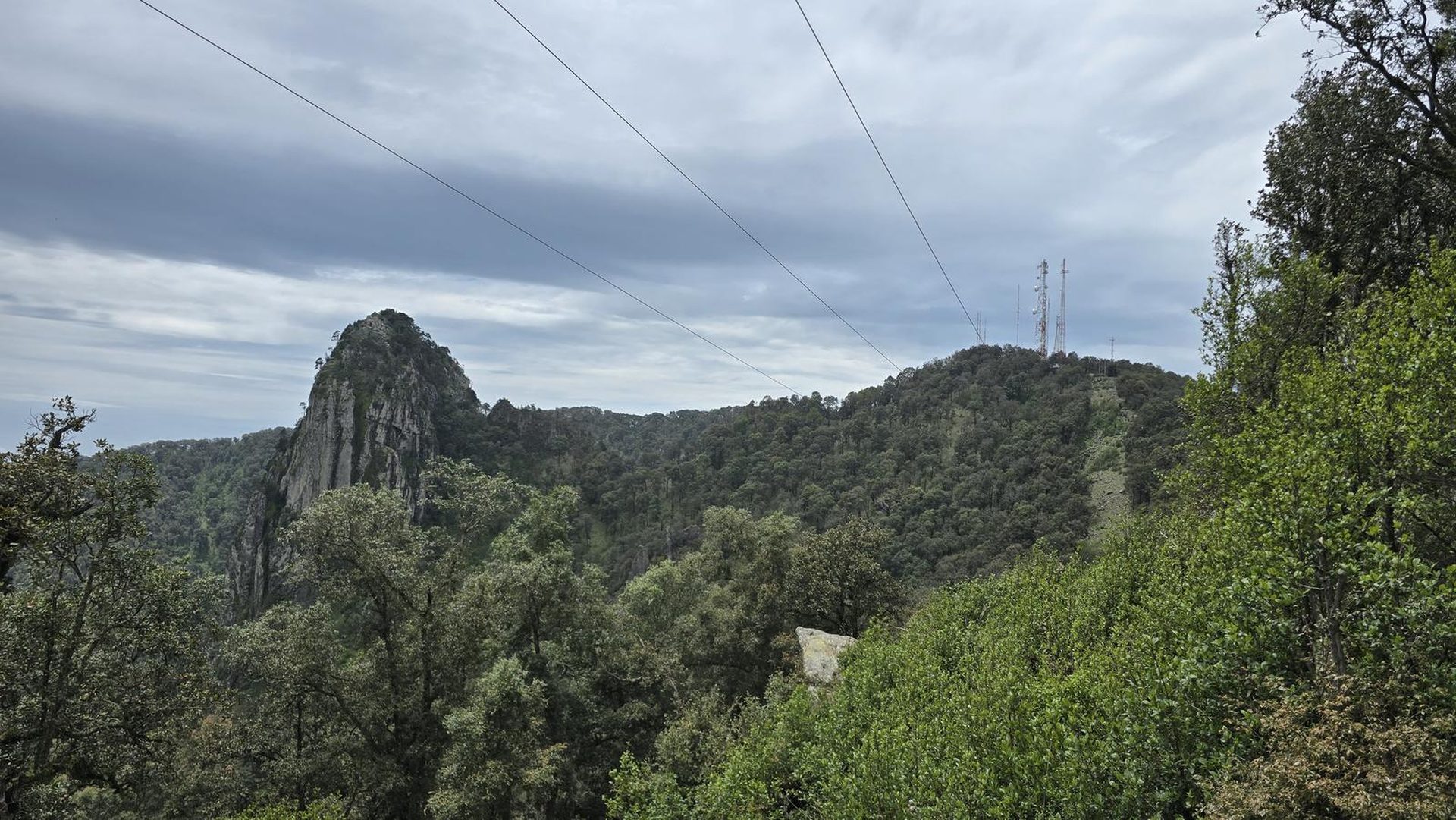
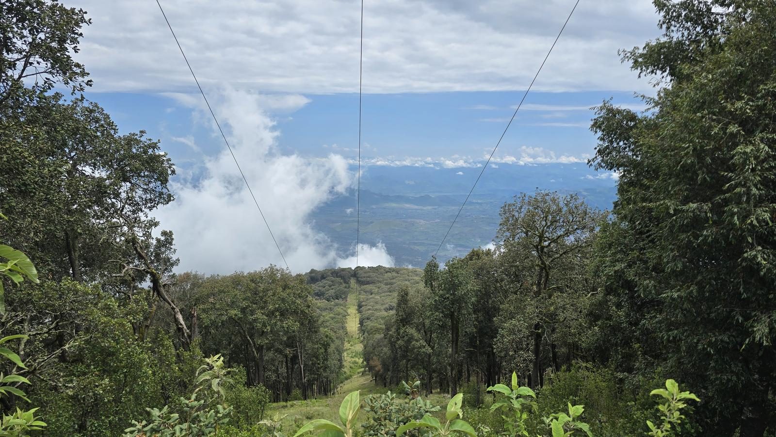
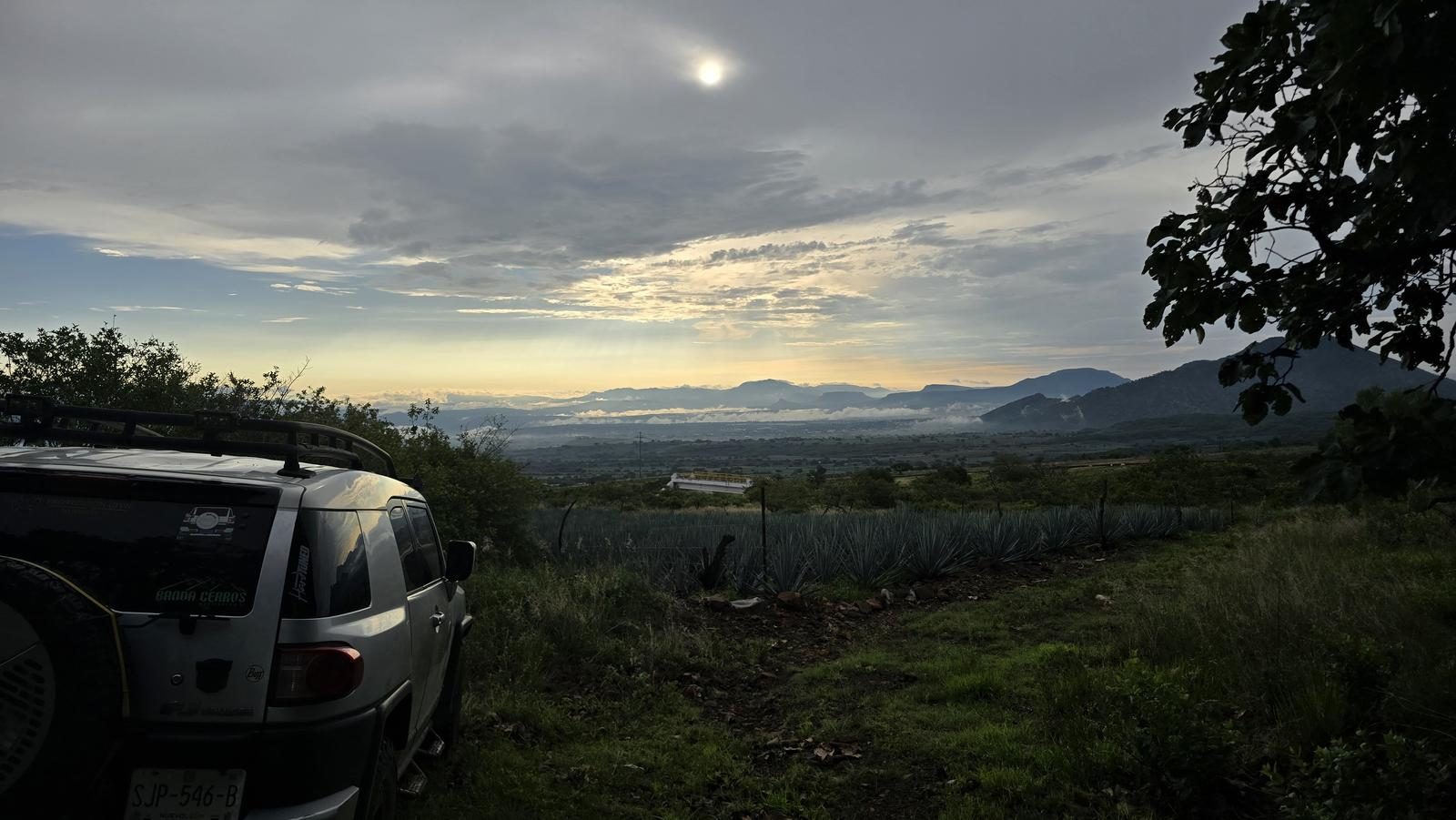
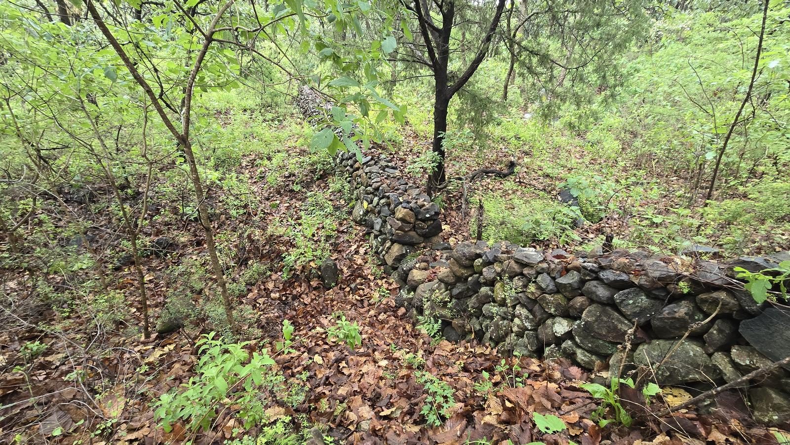
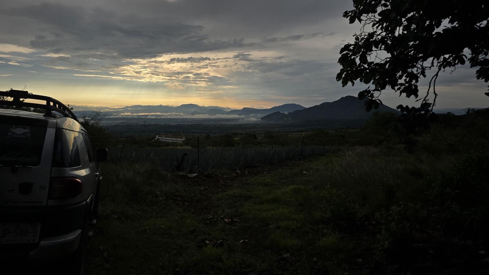
Ruta Noreste - Volcán de Tequila
Área de Protección de Flora y Fauna Volcán de Tequila, Tequila
1504 m
24.16 km
7 h 52 m
2926 msnm
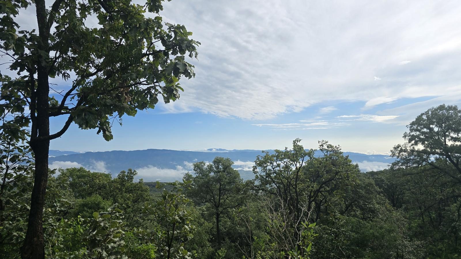
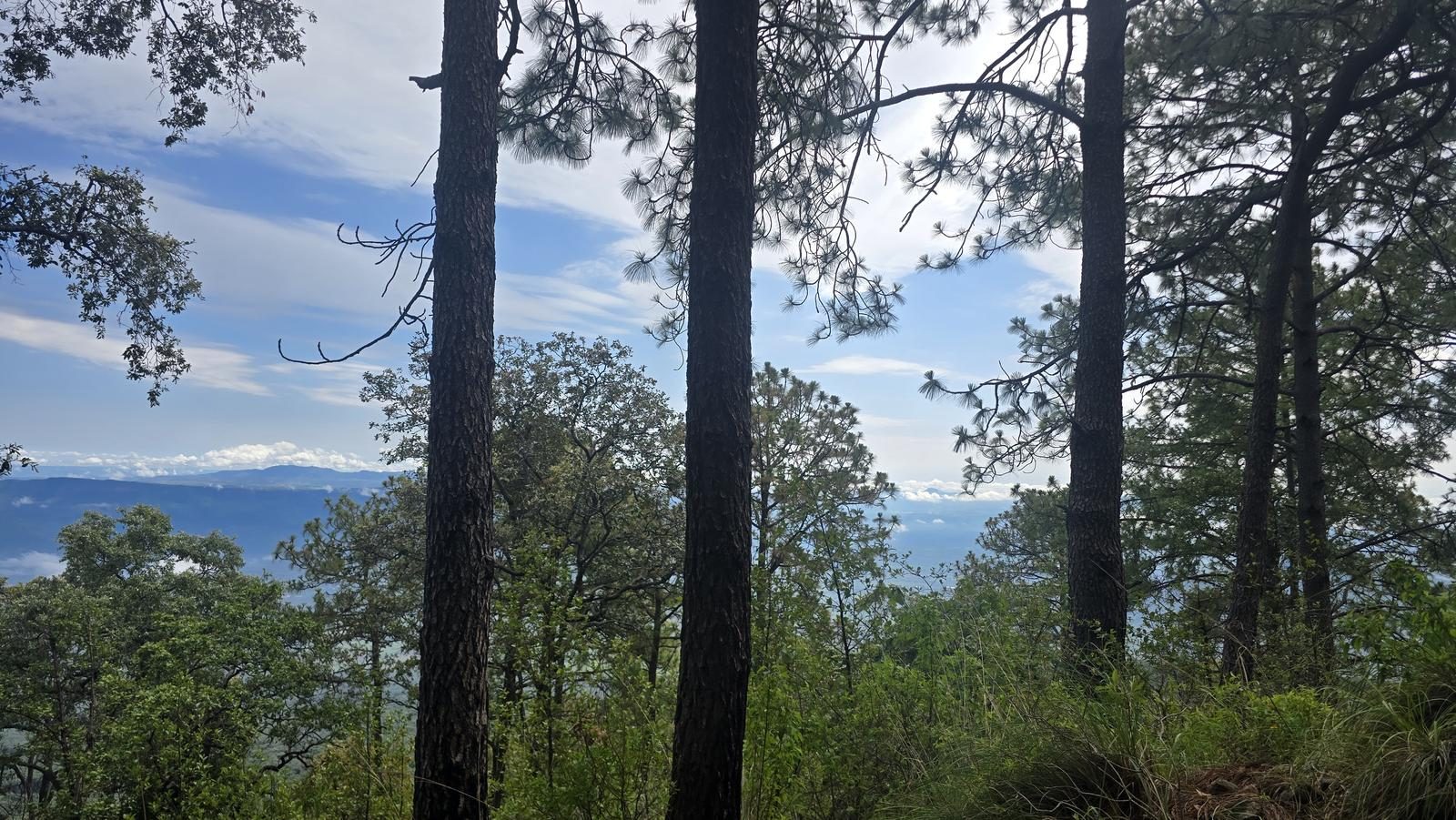
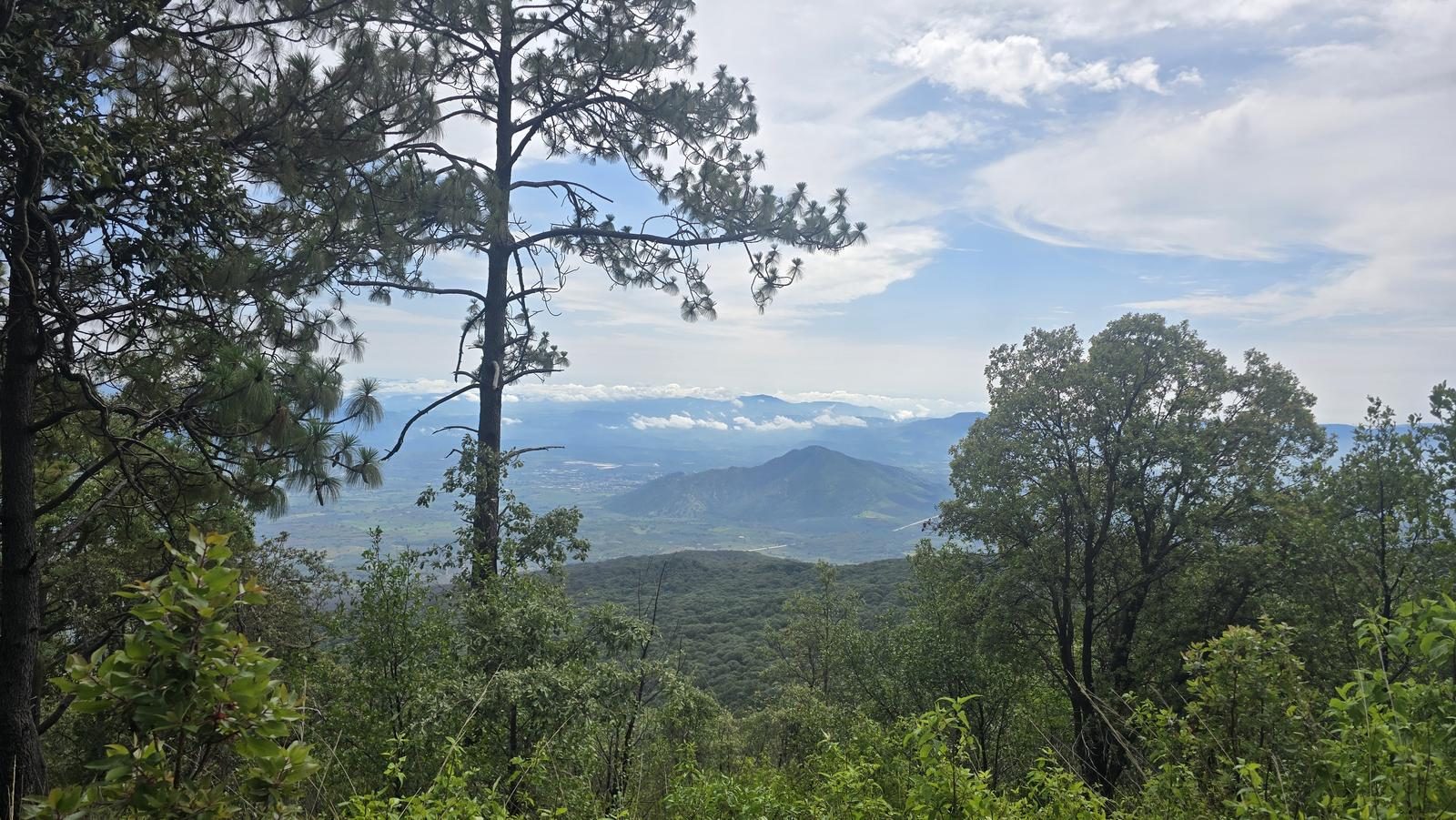
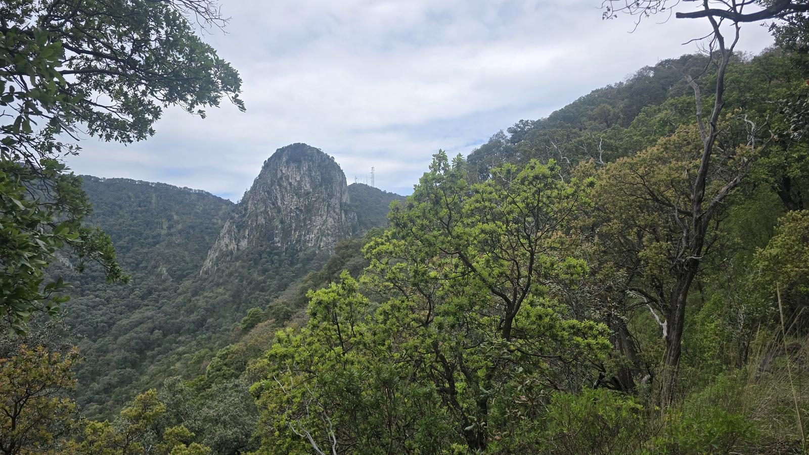
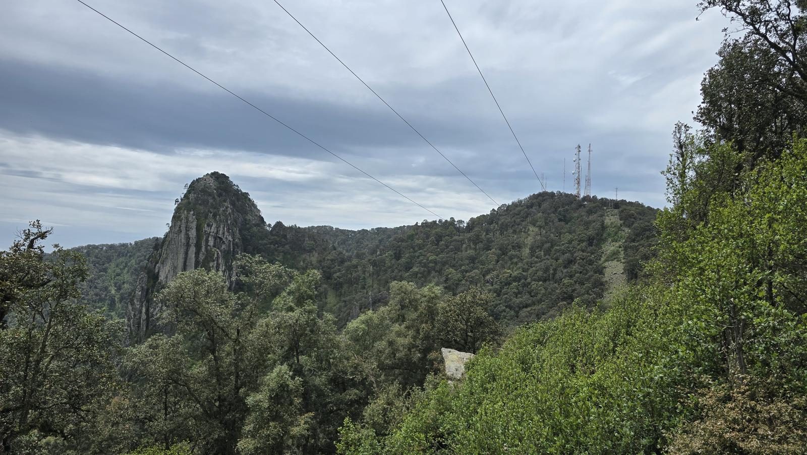
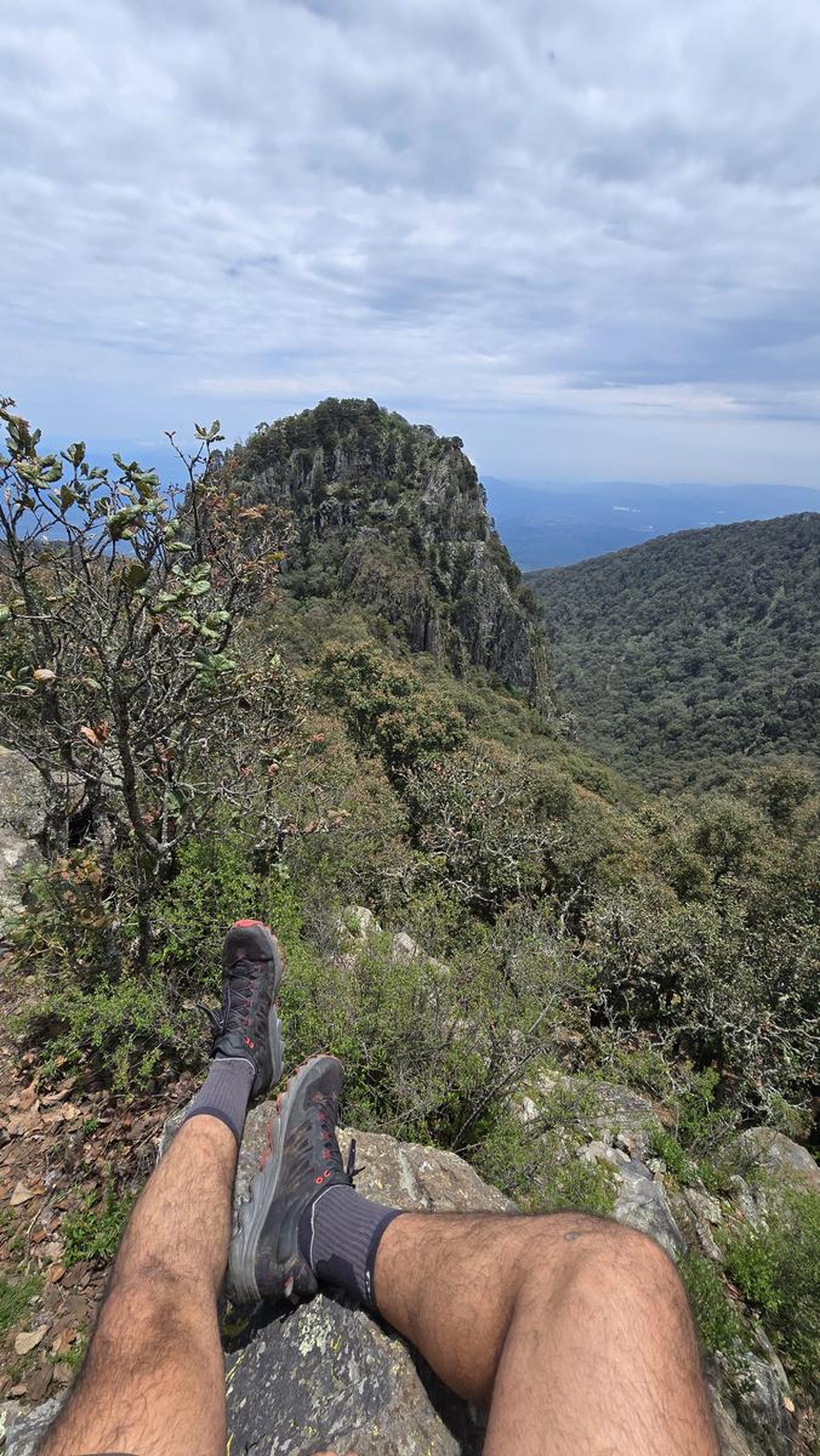
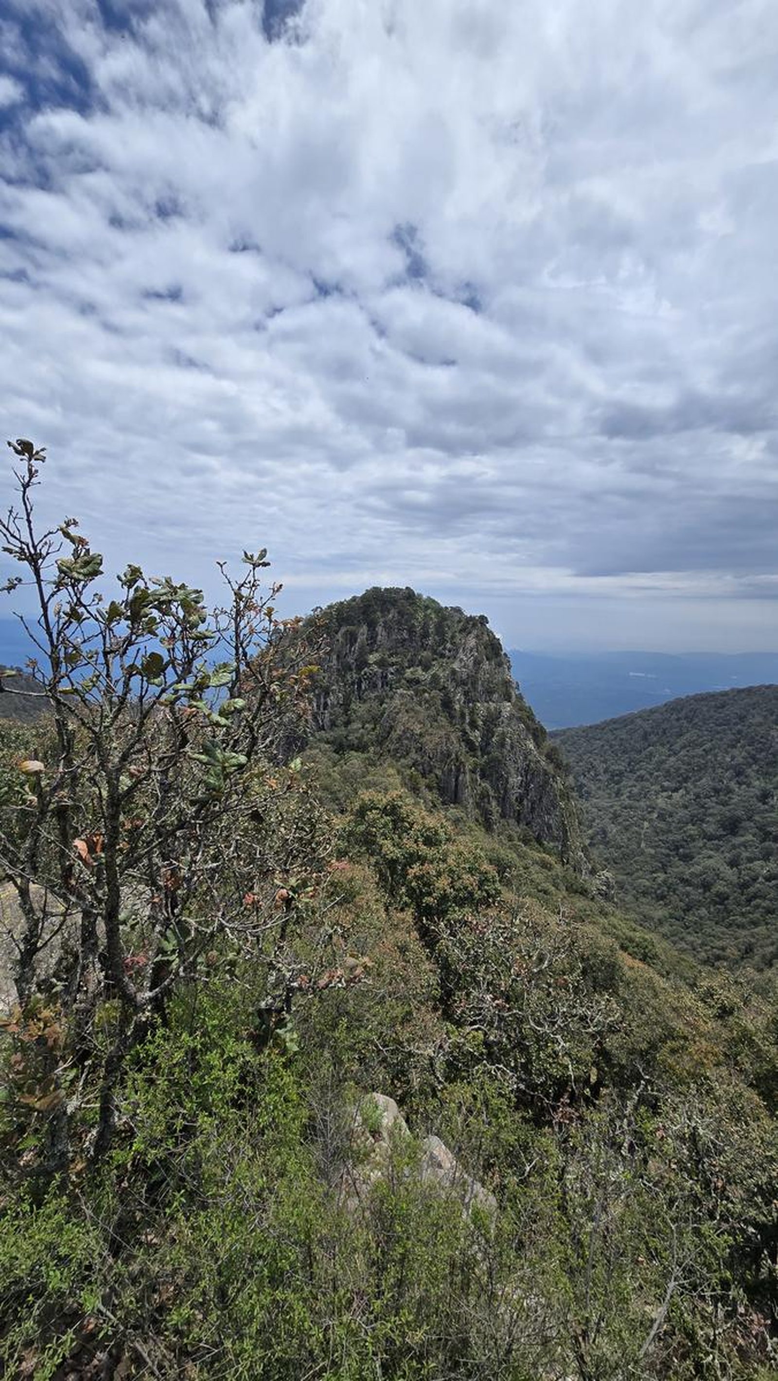
Know Volcán de Tequila's cobbled road by heart? Here's the other option — 24 km up the northeast face, crossing ejido land to the central summit.
📢 Alerts & Updates
This route can be done comfortably in any season of the year.
Warnings

Level
i
Packing List
How to get there
Trailhead Access
Starting from downtown Guadalajara, take the road to Vallarta and then the highway to Tequila. The start of the trail is 17 km from the booth, just after an overpass. Arriving on the free road involves walking for an additional 6 km and adding 300 m of unevenness (or traveling them with an all-terrain vehicle). To do this, 7 km after Amatitán, take the exit to Santa Rosa, where you can leave your cars.
Parking Information
This route does not have parking. After the overpass there is an area where a car could stay, but it might not be allowed.
Fees & Park Hours
As of August 2025, the cost of the booth is $205 MXN.
Trail Overview
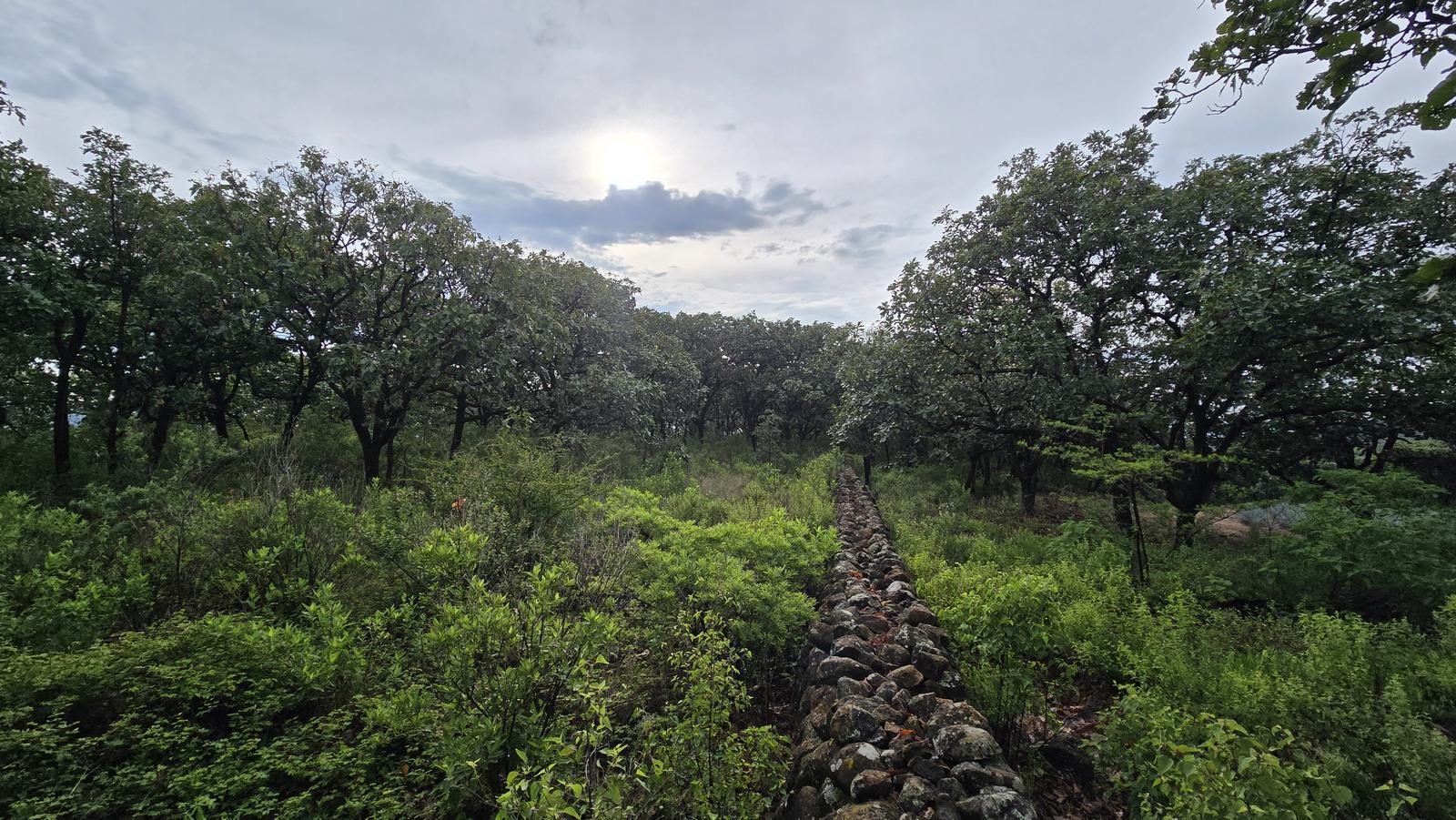
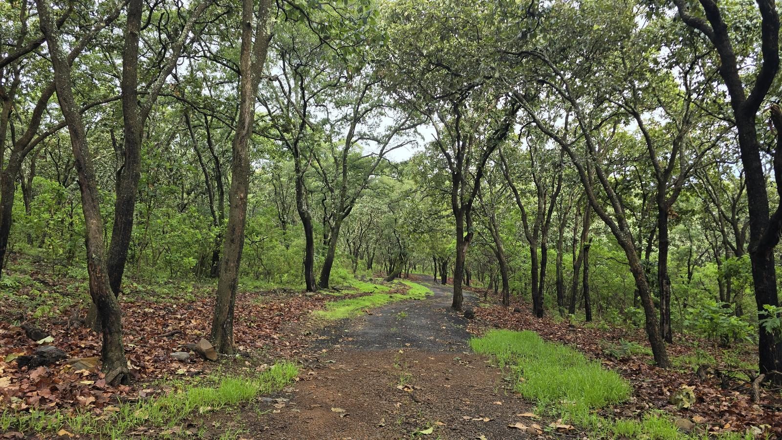
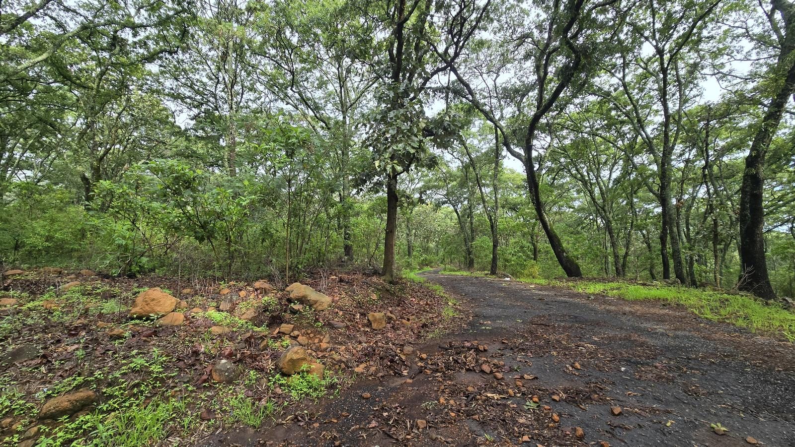
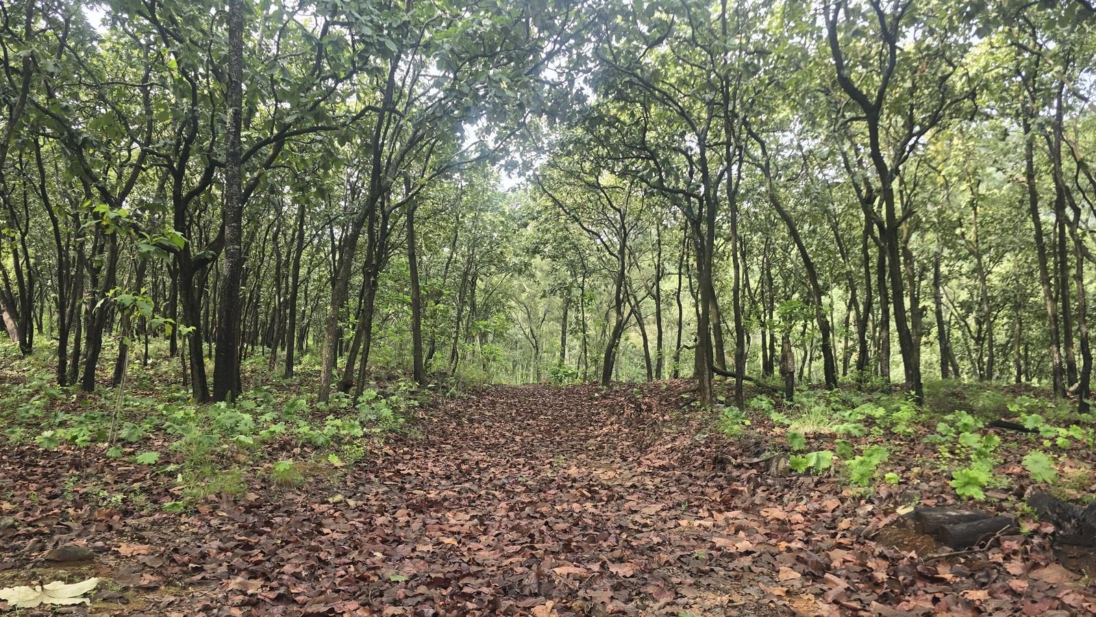
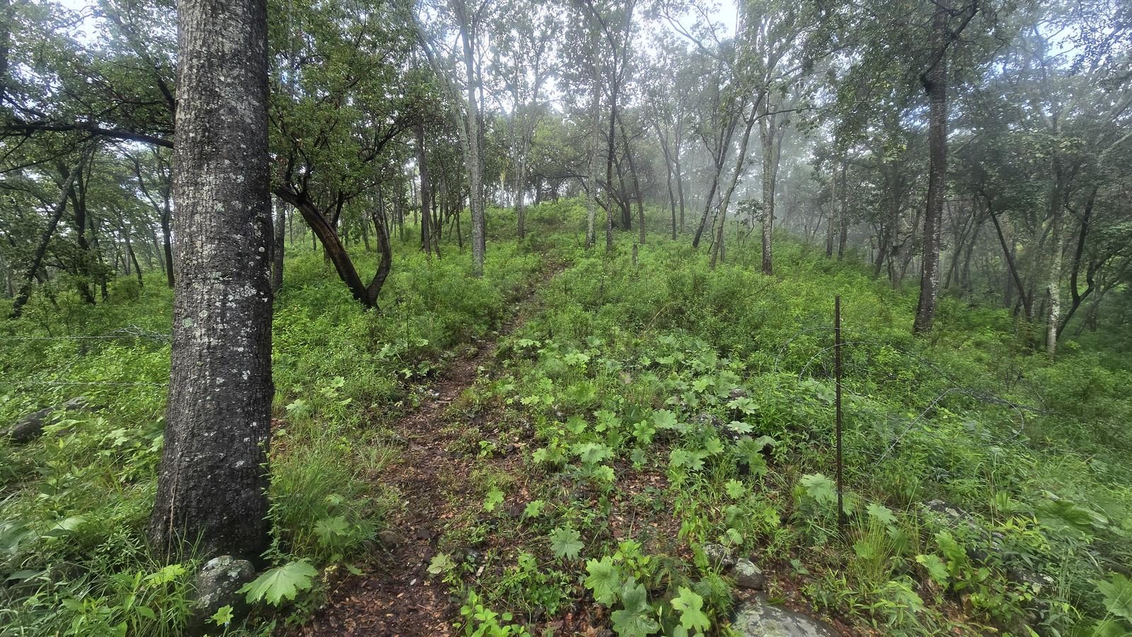
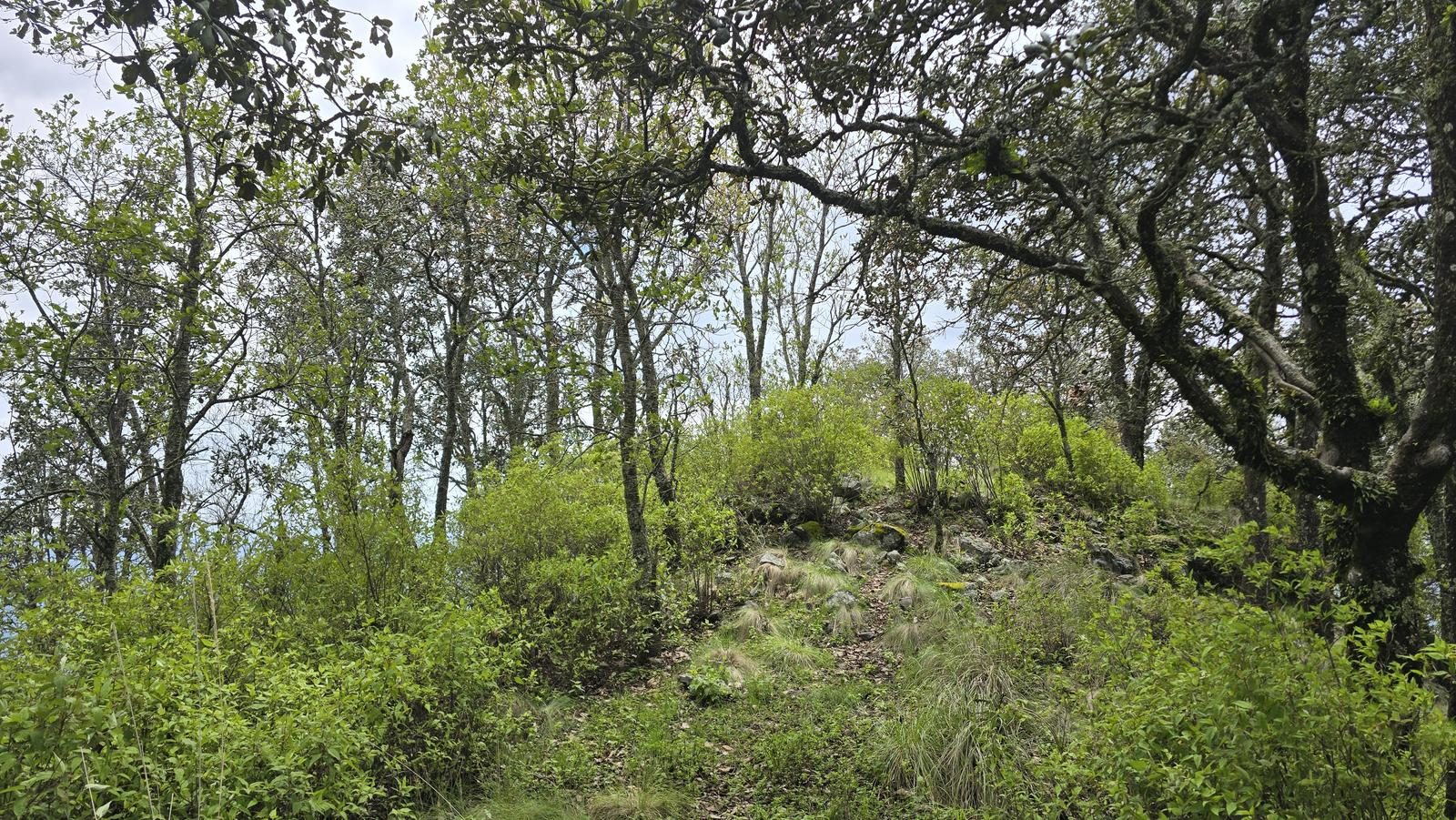
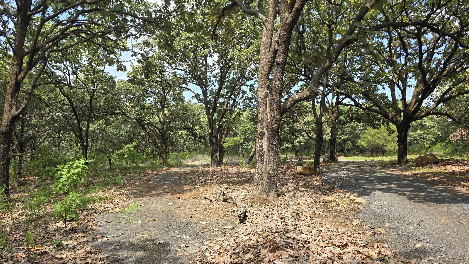
Moderately confusing. 2/3 of the route takes place along well-defined roads (well-worked gaps), but the other 1/3 is done through areas with a lot of leaf litter and where the path to follow is not very clear.
Recommended Gear
- Hiking sticks - Hands free lamp (mining type) - External battery (PowerBank) - First Aid Kit or First Aid Kit - Thermal blanket - Sunscreen - Insect repellent
Elevation Gain
1504 m
Total Distance (Out & back)
24.16 km
Total Time
7 h 52 m
Max Elevation
2926 msnm
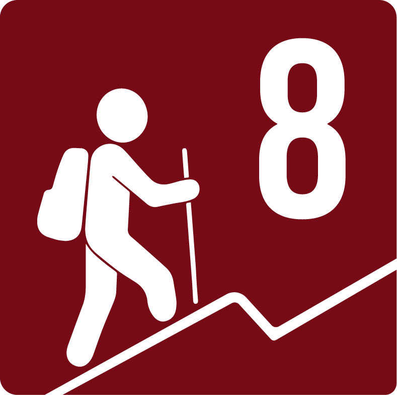
Route level 8. This route accumulates just over 1,550 m of positive elevation gain. It also has climbs with an inclination equivalent to some of the climbs of the roads in the Barranca de Huentitán, only longer.