
Ruta Potrerillos - Cerro Viejo - Jalisco
Ruta Potrerillos - Cerro Viejo - Jalisco
Área Estatal de Protección Hidrológica Cerro Viejo-Chupinaya-Los Sabinos, Ixtlahuacán de los Membrillos
1095 m
20.48 km
6 h 22 m
2948 msnm
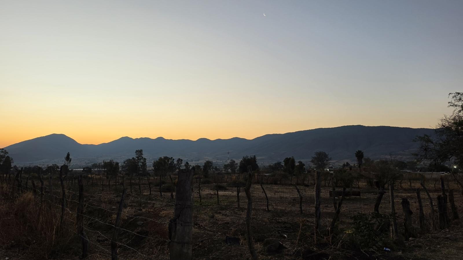
Almost nobody walks Cerro Viejo's south face. The paths read well, but across 20 km there isn't a single ribbon or cairn, so GPS isn't optional.
📢 Alerts & Updates
The best season to visit is during and after the rainy season. Despite this, it can be done comfortably in any season of the year. Only avoid in seasons of extreme heat.
Level
i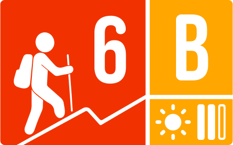
Packing List
How to get there
Trailhead Access
Departing from downtown Guadalajara, take the Highway to Colima and, after the Macro Bypass, exit for Jocotepec. 45 km later, one exit before reaching Jocotepec, turn left at the exit to San Luciano. Approximately 13 km after taking the exit, you will be arriving at the town of Potrerillos. Shortly before reaching the Main Square, on Lopez Cotilla Street, you have to turn left. From this point on, we can now search for parking. The roads are in good condition, just consider that between San Luciano and Potrerillos there is a curvy area. There is a bus line that runs from Jocotepec to Potrerillos every 4 hours.
Parking Information
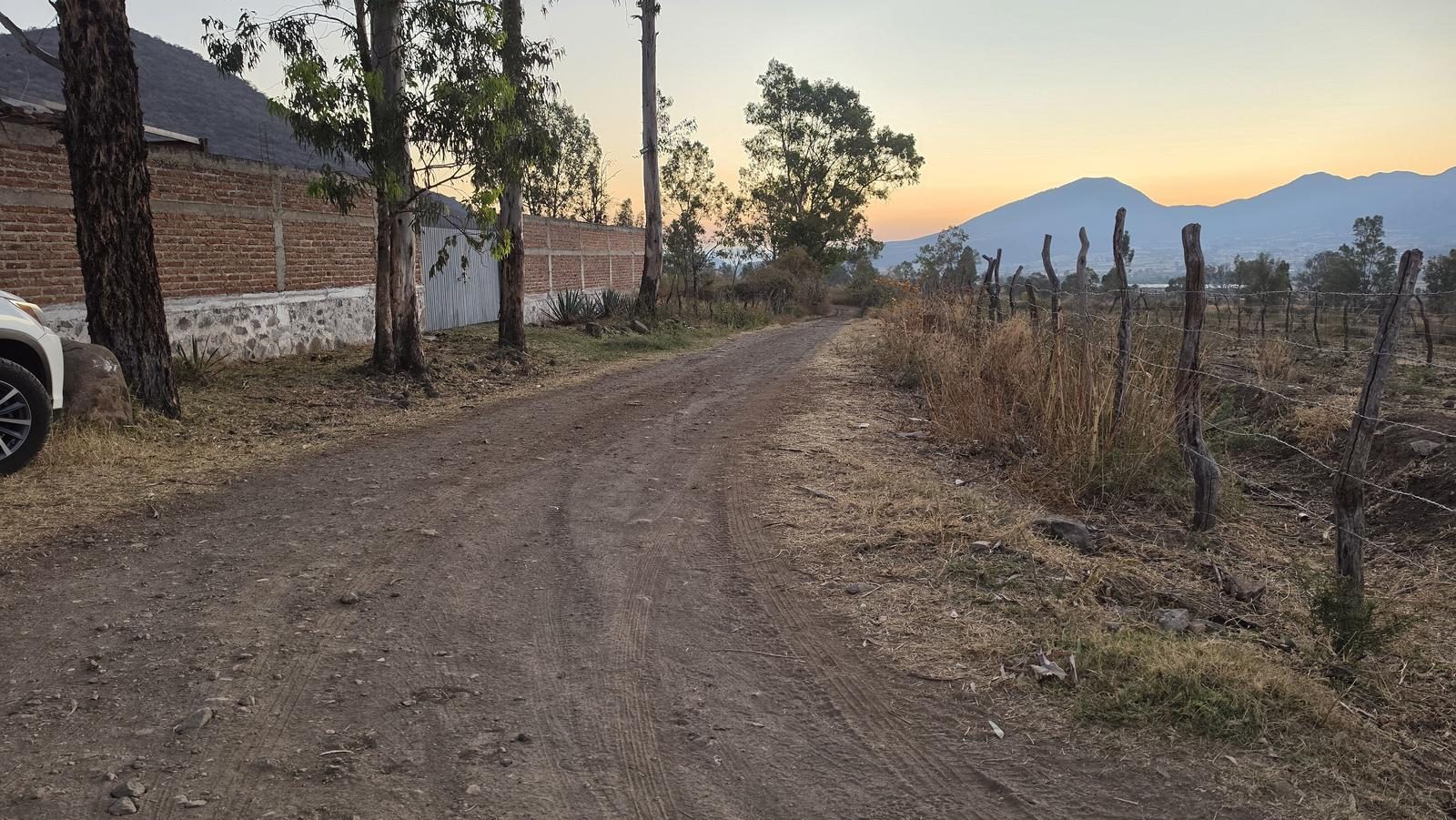
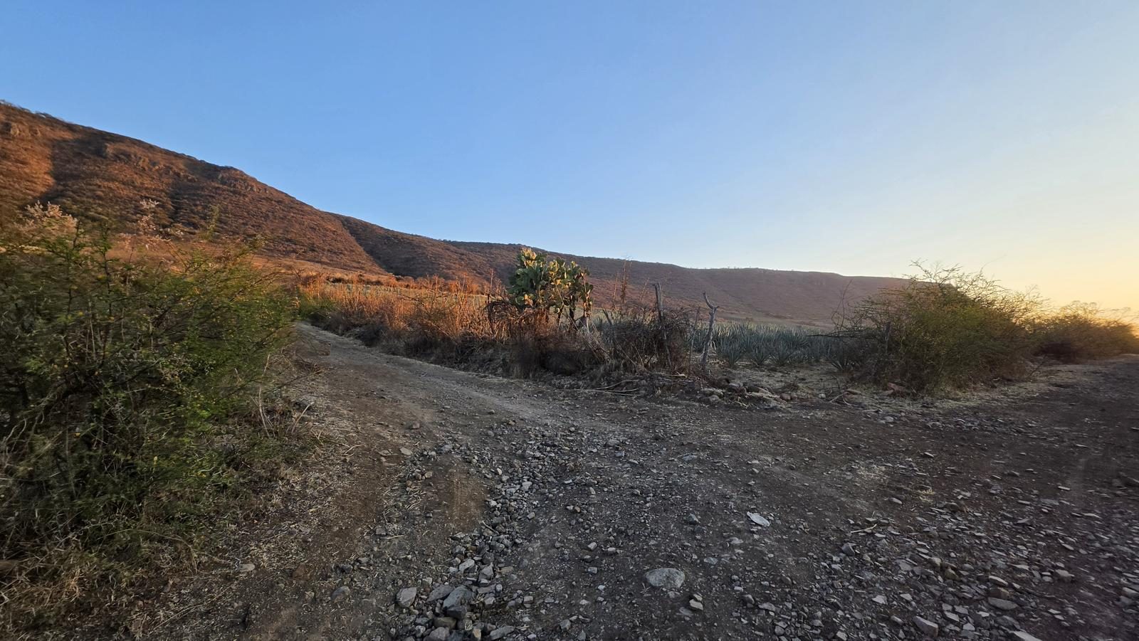
There is no parking area as such, but we can park on the street, without obstructing access and roads. The first ~2.8 km are dirt roads in good condition; if you have an all-terrain vehicle, you could shorten your itinerary by almost 6 km. If so, it is important to leave cars on the side of the road without hindering the free movement of other vehicles. We don't know if the roads are ejidales or private property.
Fees & Park Hours
April 2026: This route does not involve access costs.
Trail Overview
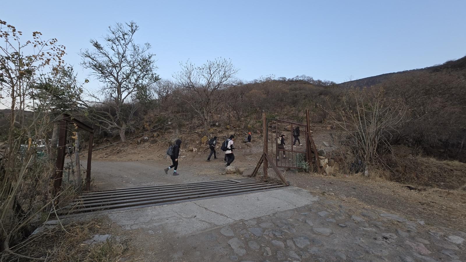
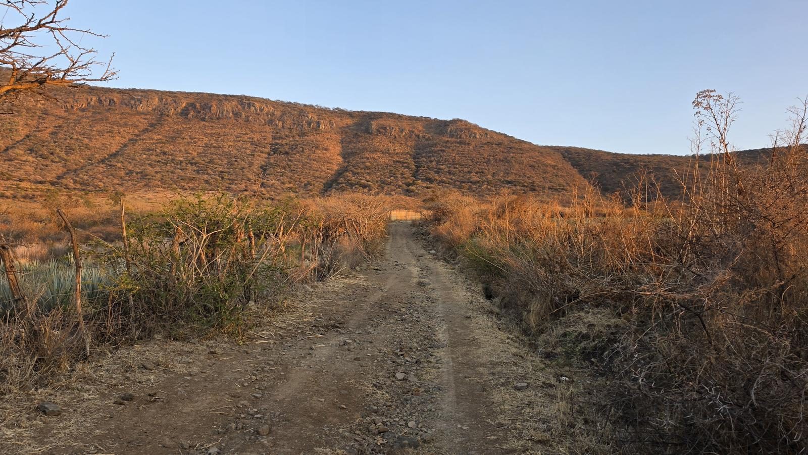
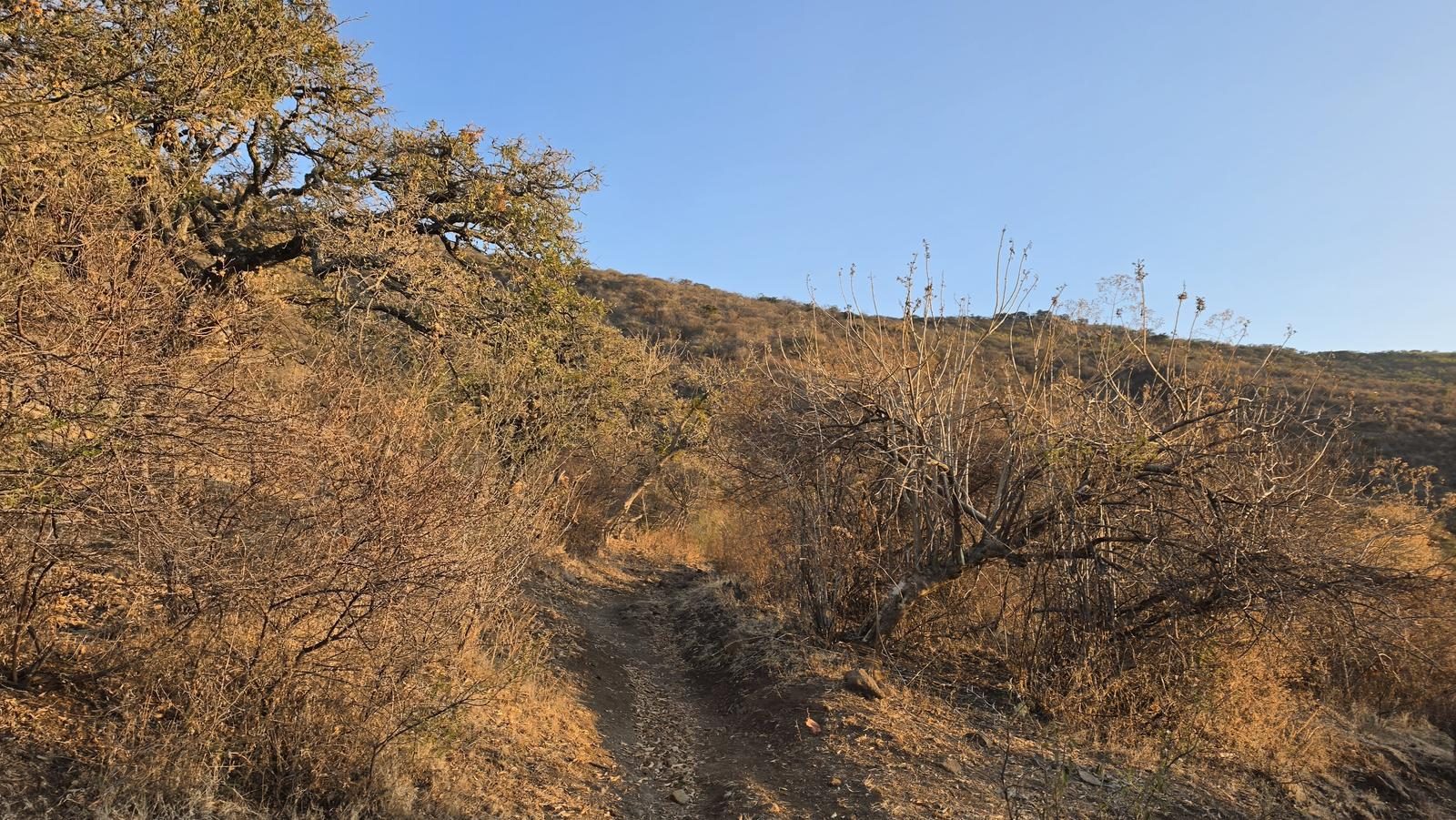
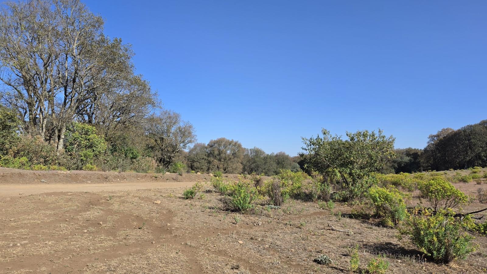
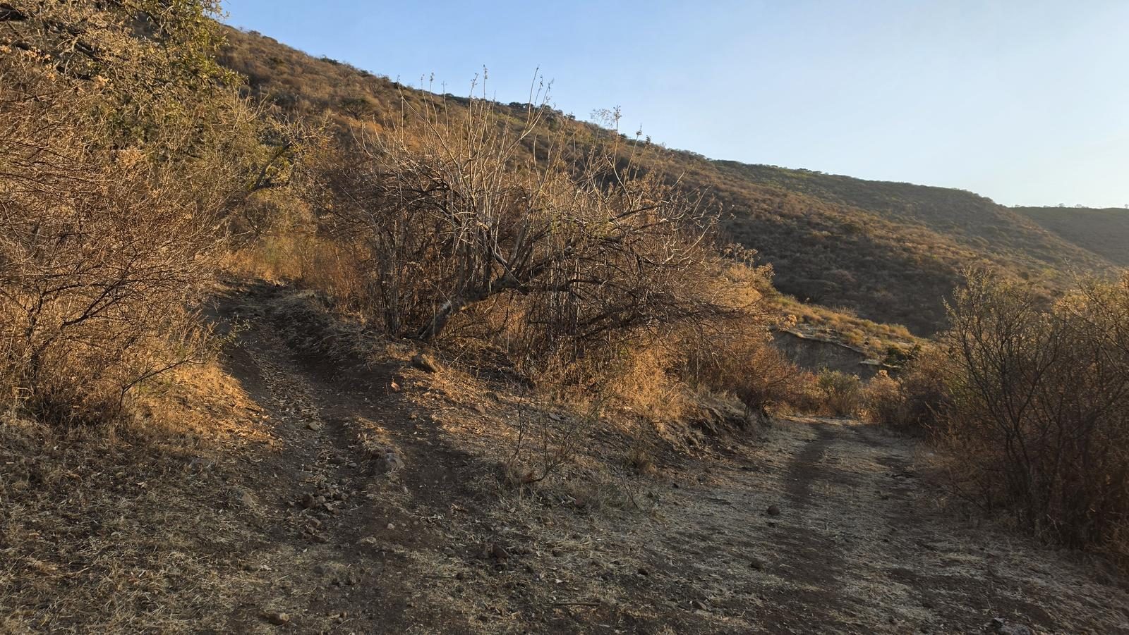
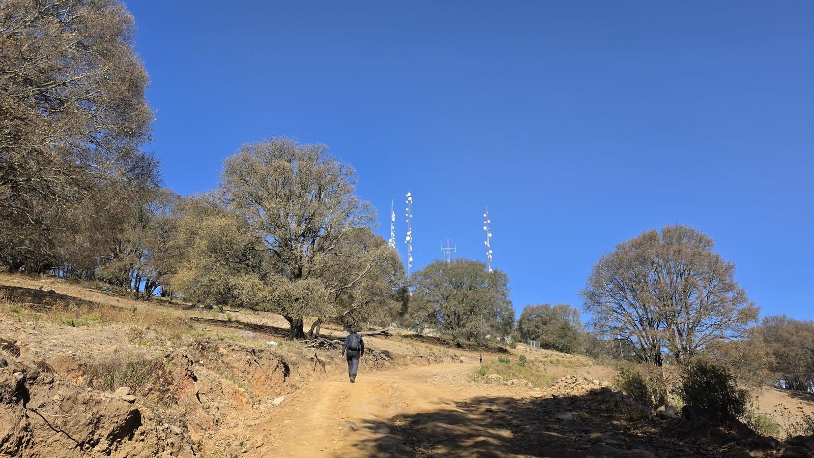
Very good. This route is not as popular as those found on the north face; however, the trails are intuitive and easy to follow. What is true is that there are practically no markings (neither slats, nor monas) or signs.
Recommended Gear
- Hands free lamp (mining type) - Hiking sticks - Thermal blanket - External battery (PowerBank) - Sunscreen - First Aid Kit or First Aid Kit
Elevation Gain
1095 m
Total Distance (Out & back)
20.48 km
Total Time
6 h 22 m
Max Elevation
2948 msnm
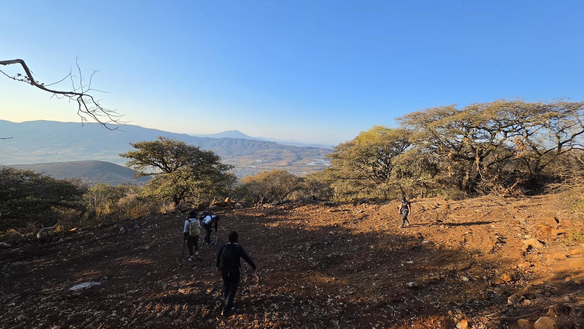
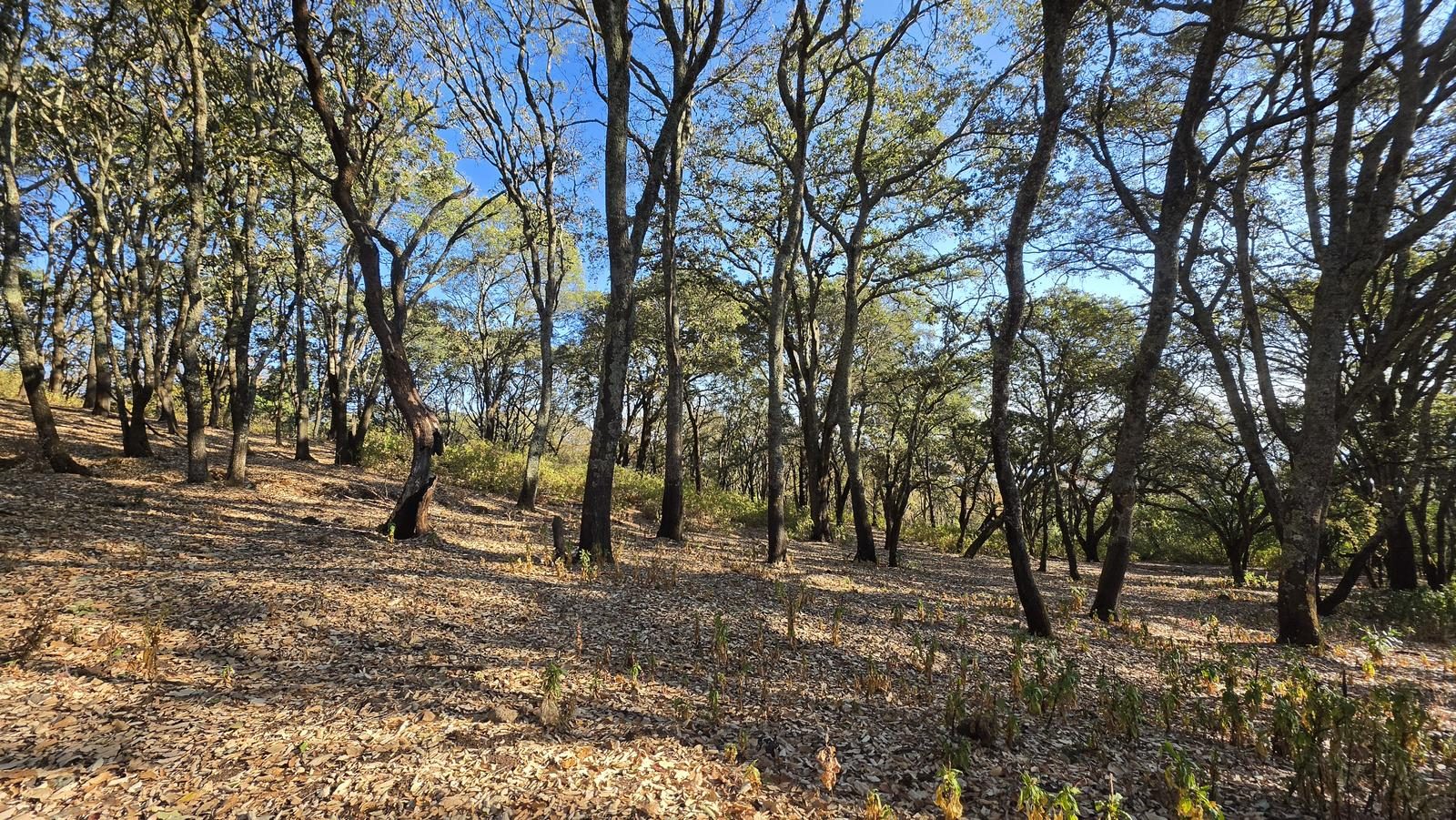
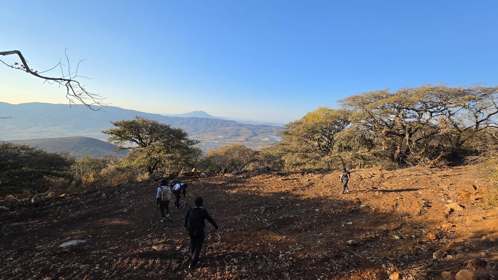
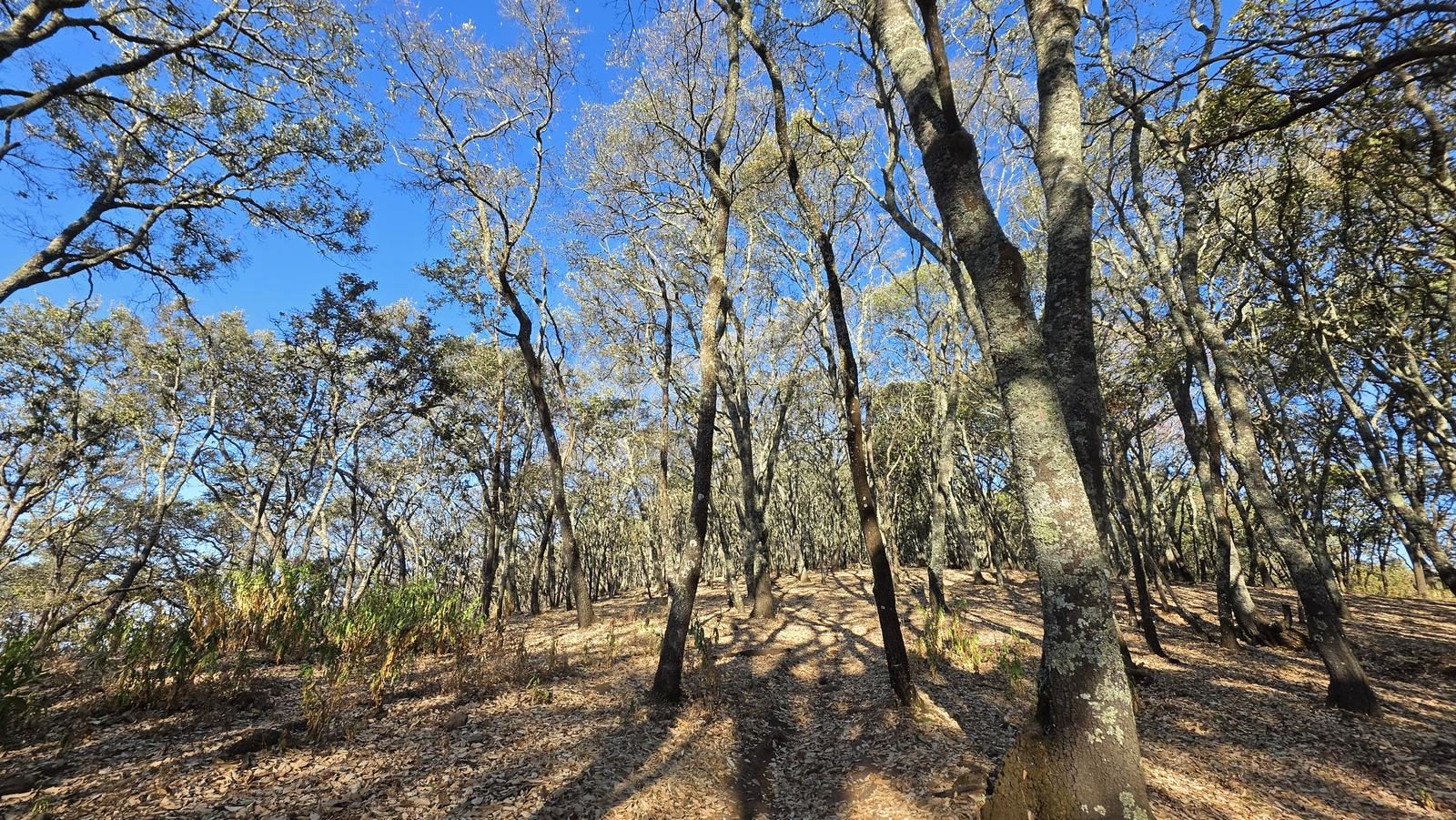
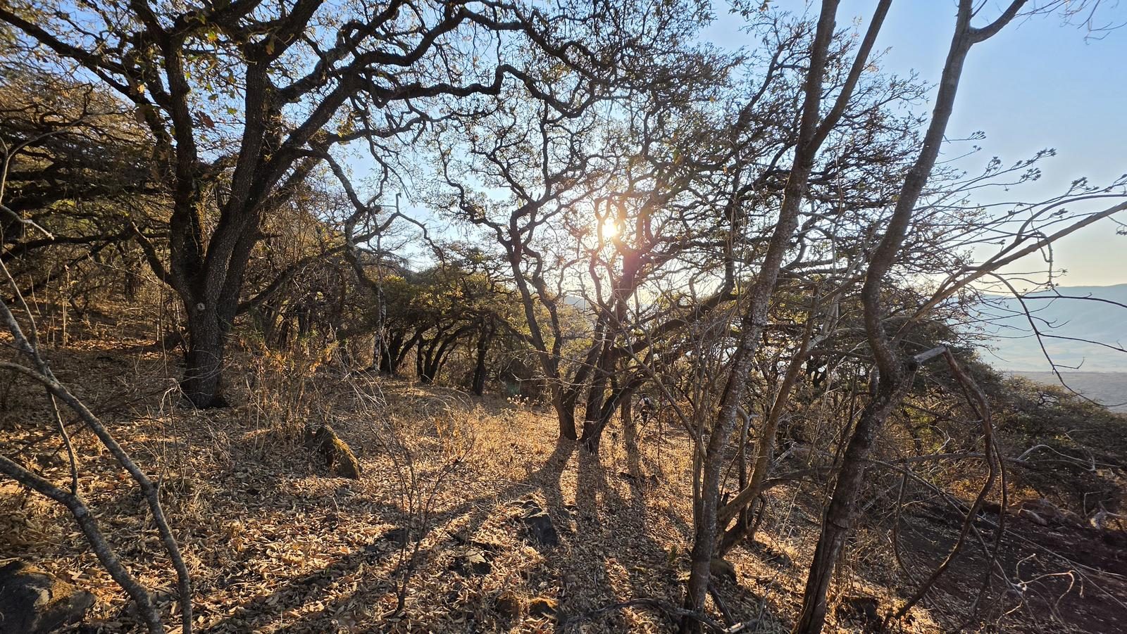
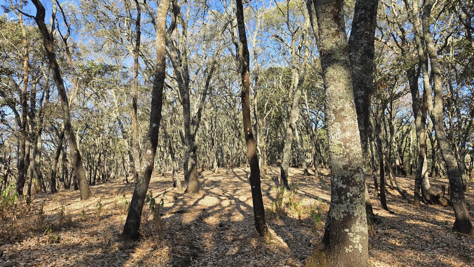
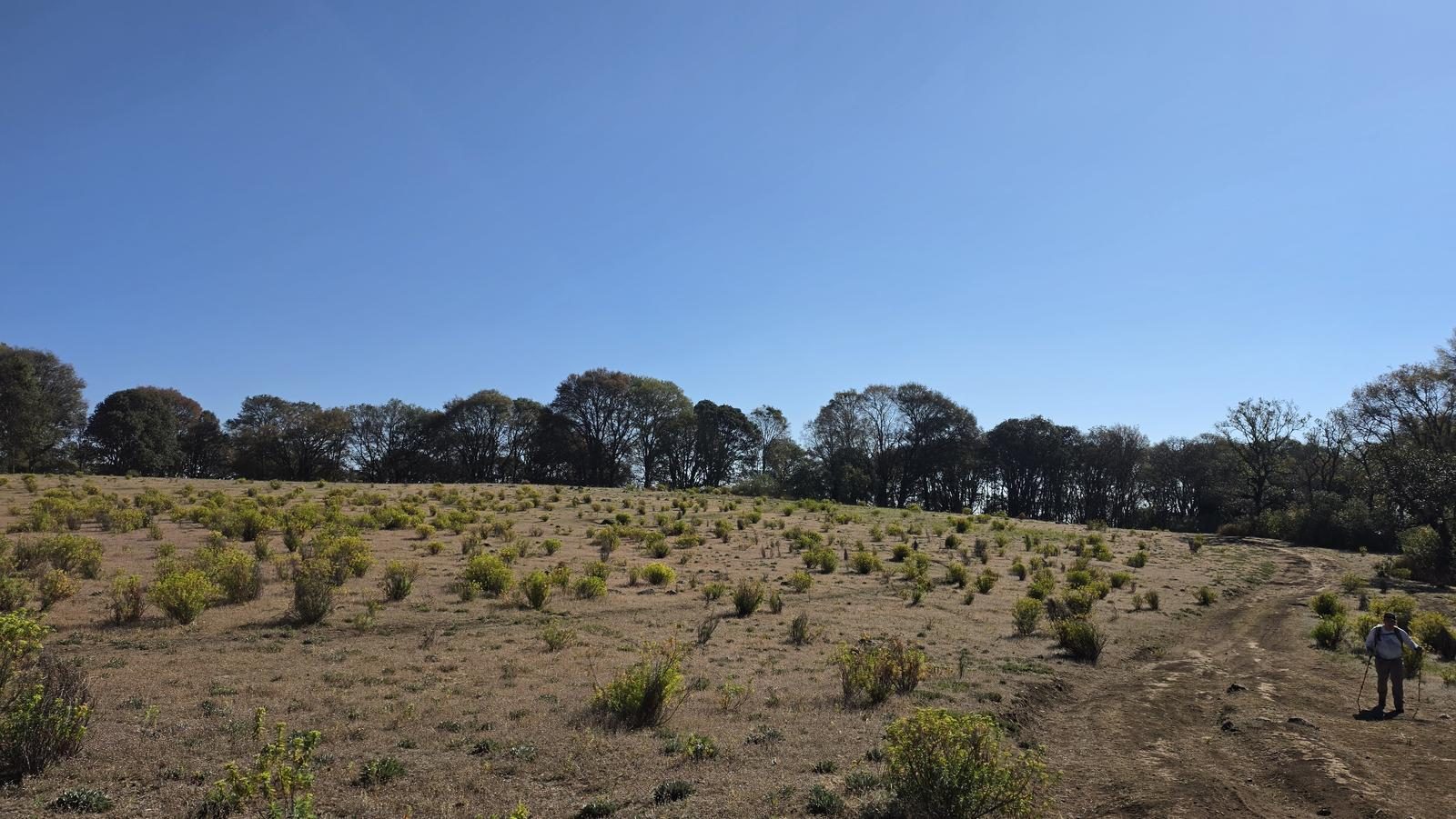
Route level 6 (scale from 1 to 10). This route offers us 1,150 m of cumulative positive elevation gain (what you climb on the hill), which are distributed over a total of 10 km (one way). However, the first 500 m of slope accumulates in just ~3 km of distance. For my taste, those first kilometers are the heaviest and the ones with the most sun exposure; that first section is similar to Cerro Las Latillas due to its inclination, type of terrain and sun exposure. Later, the slope becomes more noble and we will go under the shade of a magnificent oak forest - this second part is similar to the Ocote table, in San Juan Cosalá. The physical effort required for this ascent is similar to that of Cerro de García, Tequila Volcano or Cruz del Ermitaño (Techaluta).